Elevation of Pioneer Camp, Hiawassee, GA, USA
Location: United States > Georgia > Towns County > Hiawassee >
Longitude: -83.772424
Latitude: 34.8382369
Elevation: 746m / 2447feet
Barometric Pressure: 93KPa
Elevation Map:
Satellite Map:
Related Photos:

Maindenhair Falls

Maidenhair Falls

Maidenhair Falls

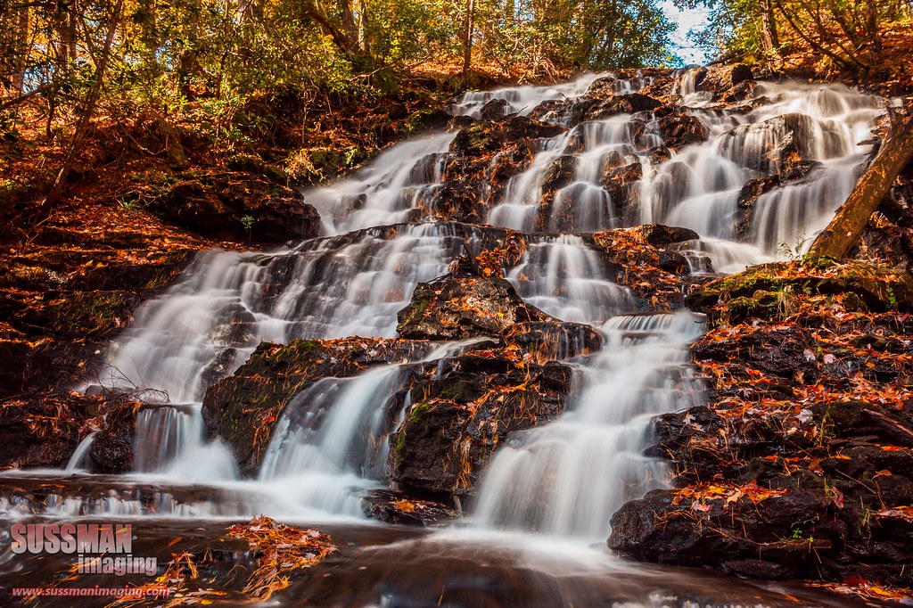
Dodd Creek Falls

Dodd Creek Falls

Dodd Creek Falls

Winter Jewel

High Shoals Falls

Sibling Falls

High Shoals Falls.

Maidenhair Falls

Lower Falls Helton Creek

Dodd Creek Falls

Wildcat Water Slide

Upper Helton Creek Falls

High Shoals Falls

Dodd Creek Falls
Wolf Creek Falls

Faucet Falls

Wildcat Water Slide

Blue Hole Falls

Maidenhair Falls

Wildcat Creek Falls

Falls on Dukes Creek

Dukes Creek Falls
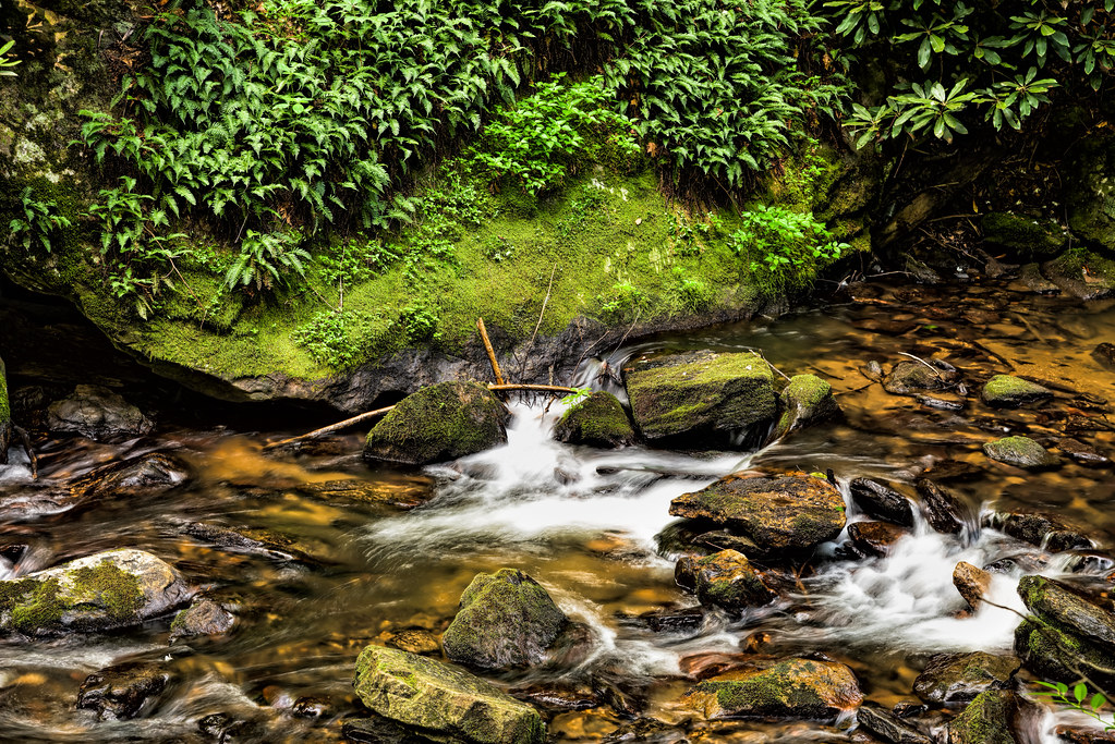
Rocks, water, ferns, and moss
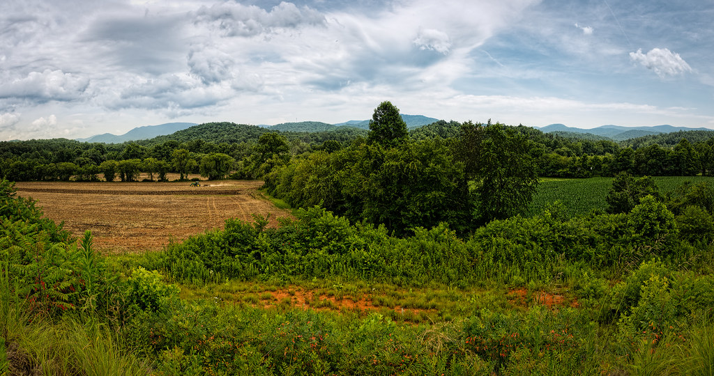
Finish the plowing before it rains

Falls on Dukes Creek

Helton Creek Falls

Falls on Dukes Creek
Topographic Map of Pioneer Camp, Hiawassee, GA, USA
Find elevation by address:

Places near Pioneer Camp, Hiawassee, GA, USA:
Enota Mountain Retreat
49 Leisure Woods Lane
8595 Soapstone Creek Cir
8600 Soapstone Creek Cir
1228 Taylor Rd
7956 Mountain Top Trail
57 State Rte 180
Unicoi Turnpike
186 Seminole Ridge Rd
4645 Jones Gap Rd
1269 Owl Creek Rd
1620 Moody Hollow
1236 Turkey Knob Dr
1236 Turkey Knob Dr
1236 Turkey Knob Dr
441 Wahu Hu Dr
402 Wahu Hu Dr
402 Wahu Hu Dr
402 Wahu Hu Dr
402 Wahu Hu Dr
Recent Searches:
- Elevation of Verkhny Fiagdon, North Ossetia–Alania Republic, Russia
- Elevation of F. Viola Hiway, San Rafael, Bulacan, Philippines
- Elevation of Herbage Dr, Gulfport, MS, USA
- Elevation of Lilac Cir, Haldimand, ON N3W 2G9, Canada
- Elevation of Harrod Branch Road, Harrod Branch Rd, Kentucky, USA
- Elevation of Wyndham Grand Barbados Sam Lords Castle All Inclusive Resort, End of Belair Road, Long Bay, Bridgetown Barbados
- Elevation of Iga Trl, Maggie Valley, NC, USA
- Elevation of N Co Rd 31D, Loveland, CO, USA
- Elevation of Lindever Ln, Palmetto, FL, USA
- Elevation of Gillot Blvd, Port Charlotte, FL, USA