Elevation of Pink Campbell Rd, Landrum, SC, USA
Location: United States > South Carolina > Spartanburg County > Landrum >
Longitude: -82.268236
Latitude: 35.1932841
Elevation: 367m / 1204feet
Barometric Pressure: 97KPa
Elevation Map:
Satellite Map:
Related Photos:

PEARSON'S FALLS BLUE RIDGE MOUNTAINS ~ N.C.

Pearson Lower New Trail - Read Description
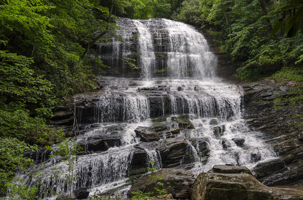
Pearson's Falls
Main Inn View
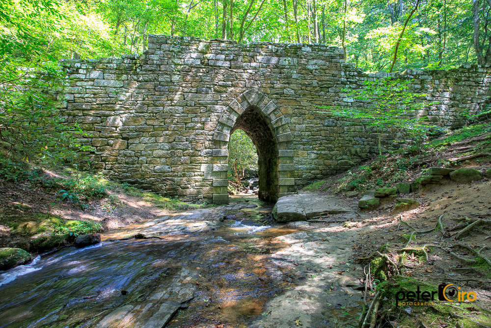
Poinsett Bridge near Highland, SC

sunset sundial

View of the drained Swimming Lake from the Boating Lake dam.

The Hayloft Cottage
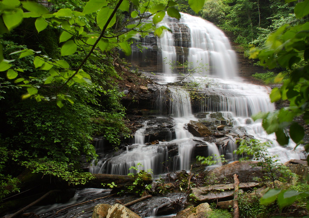
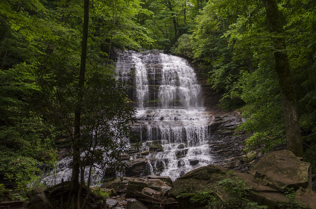
Pearson's Falls-through the Trees
The Grainary Cottage
Belmont Coal Train Passing Saluda Depot, 1967
Just a Trickle
Bradley Falls Side View
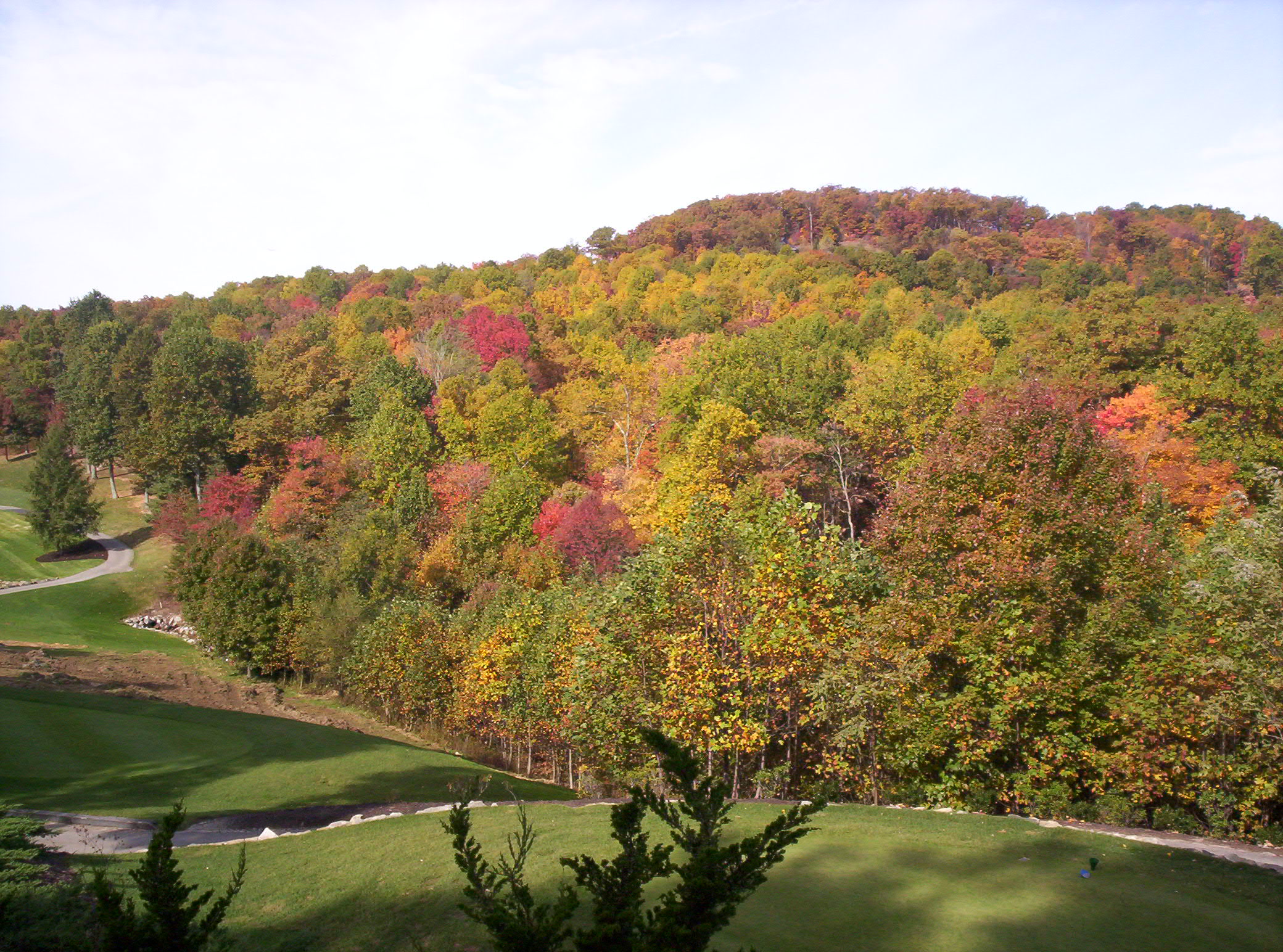
The Cliffs at Glassy Golf Course No 12
#saluda #sunset #happynewyears #lastsunset #2015 #northcarolina #nc #dramatic #mountain #view
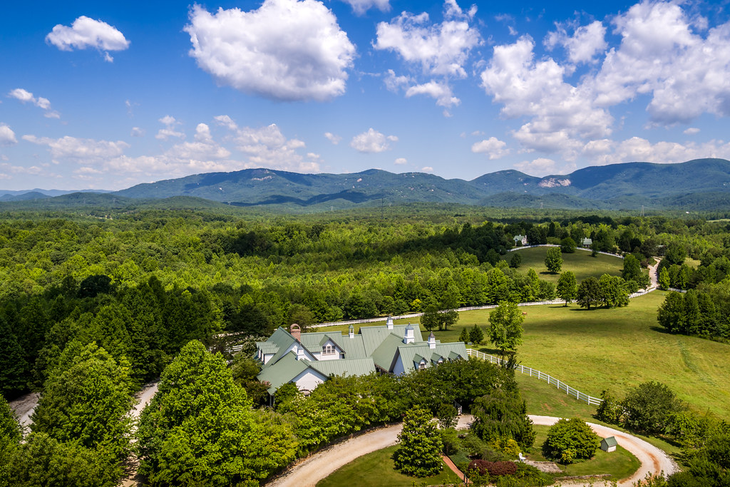
Aerial View of The Inn
Cliffs at Glassy near clubhouse
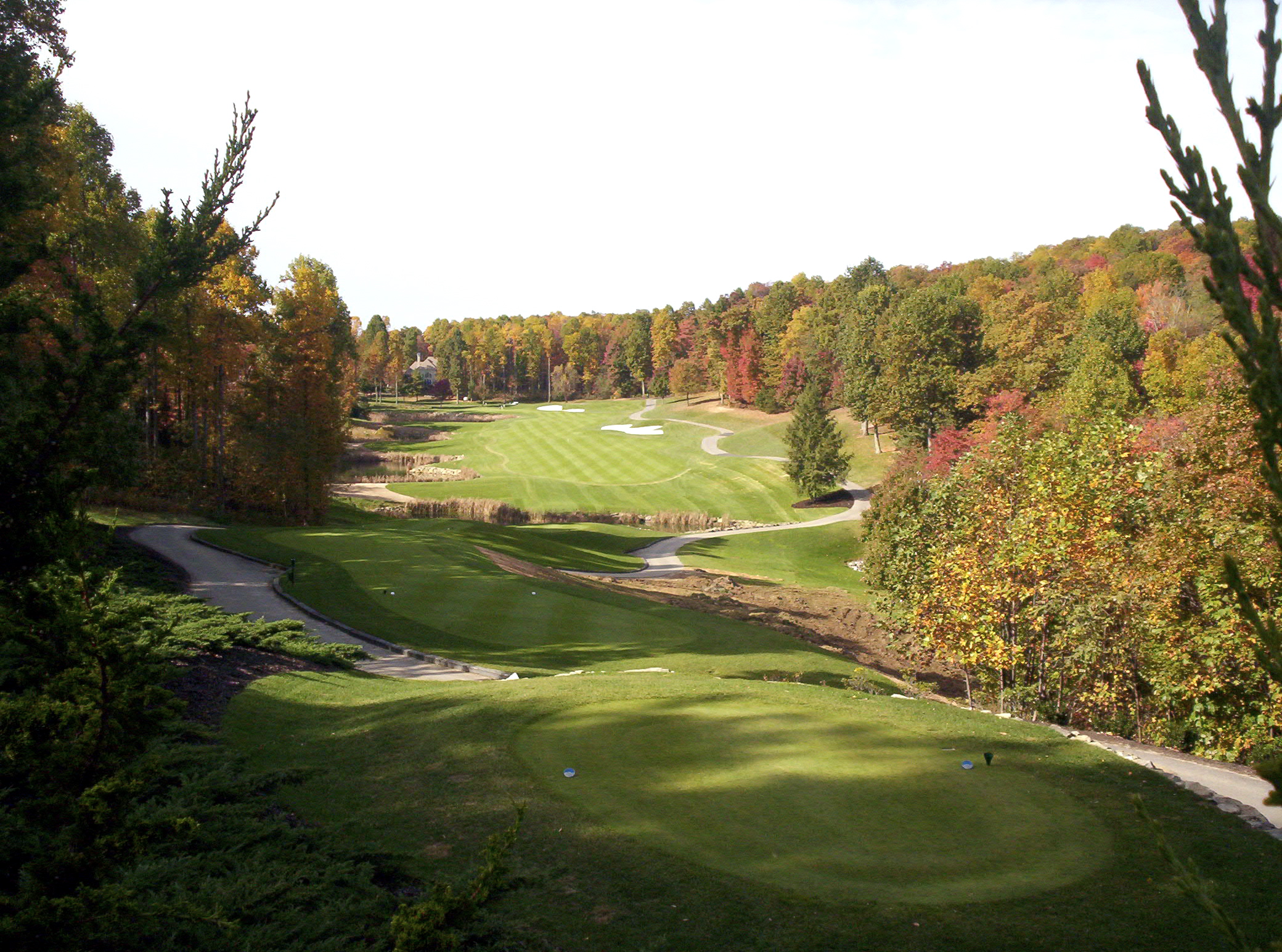
The Cliffs at Glassy Golf Course No 12 Tee
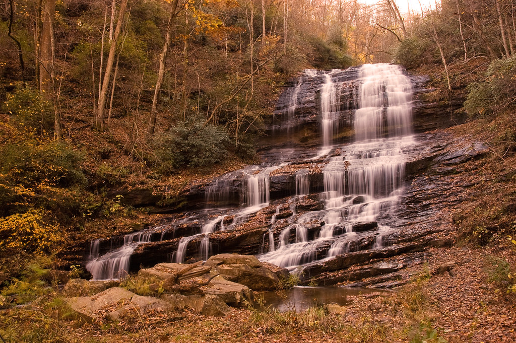
Pearson's Falls

High Bridge (Side View)
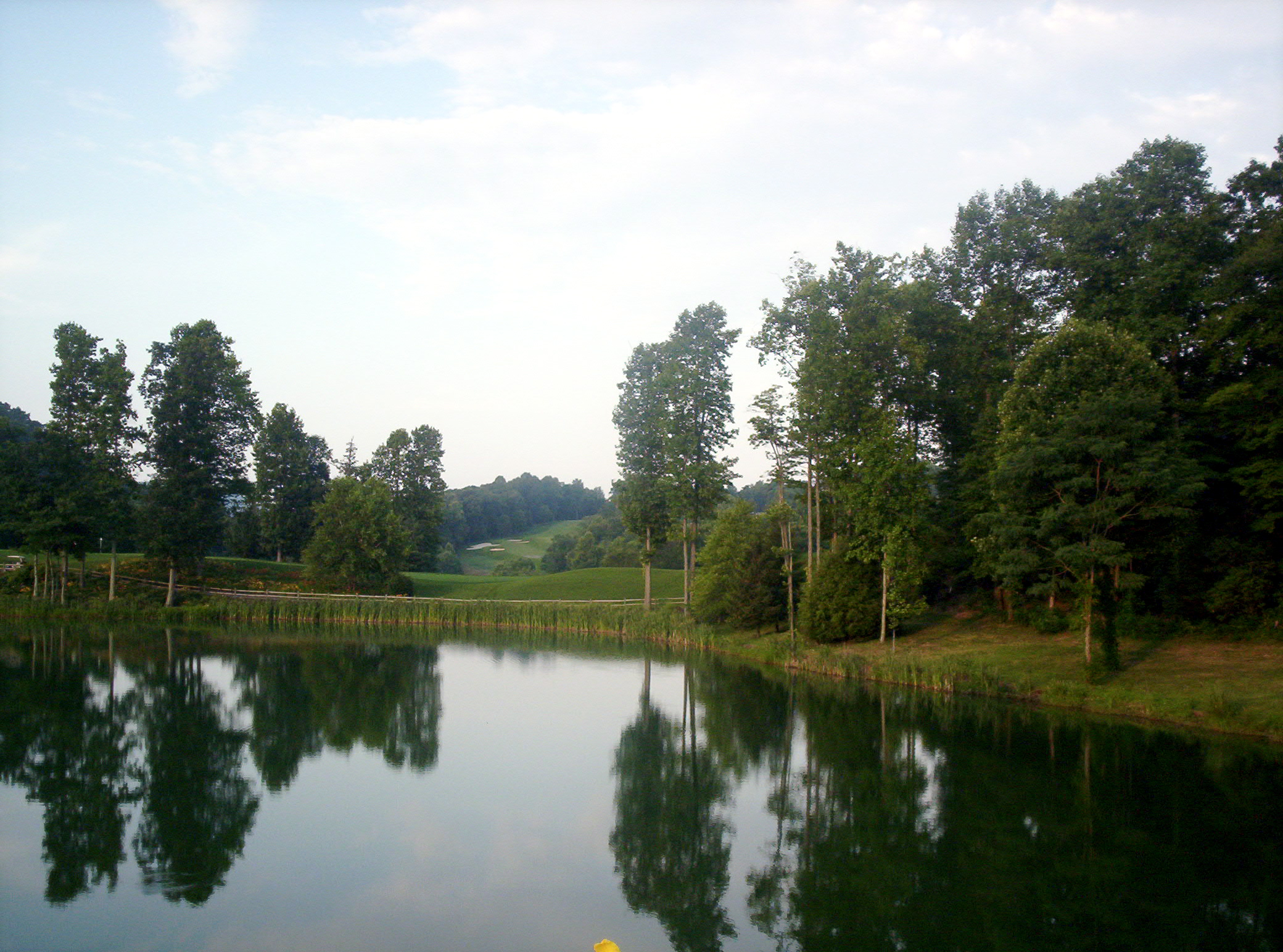
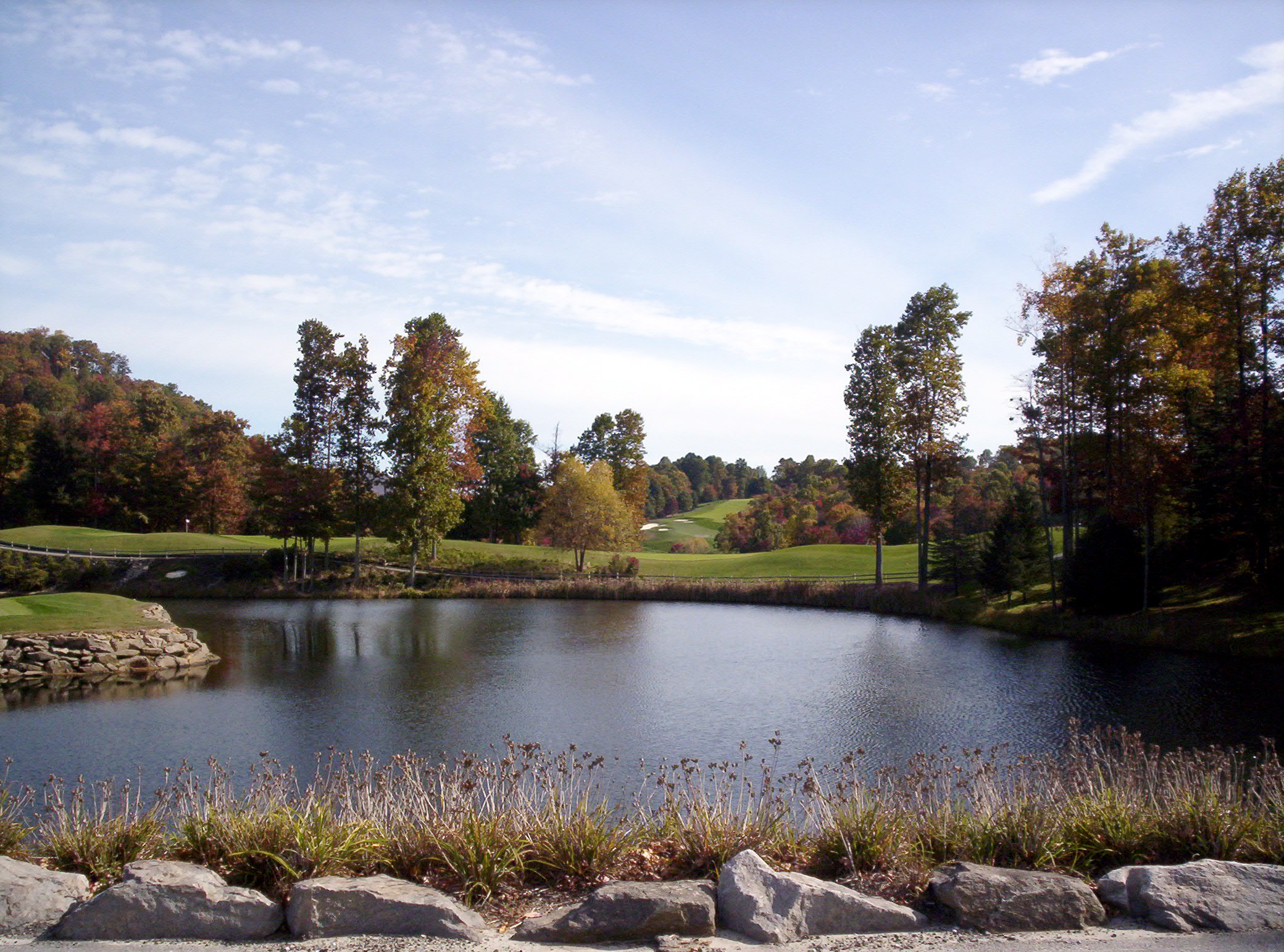
The Cliffs at Glassy Golf Course Pond
Gentle Falls on the North Pacolet River
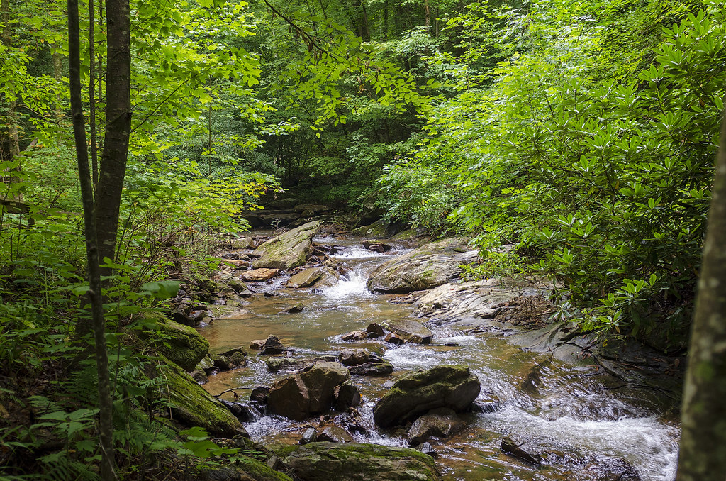
Gentle North Pacolet

Water Dancing on the Rocks
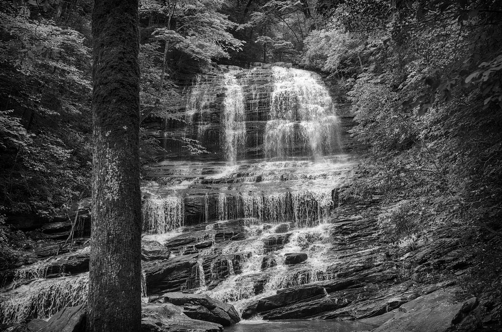
Pearson Falls - BW
Falls Along the Pacolet
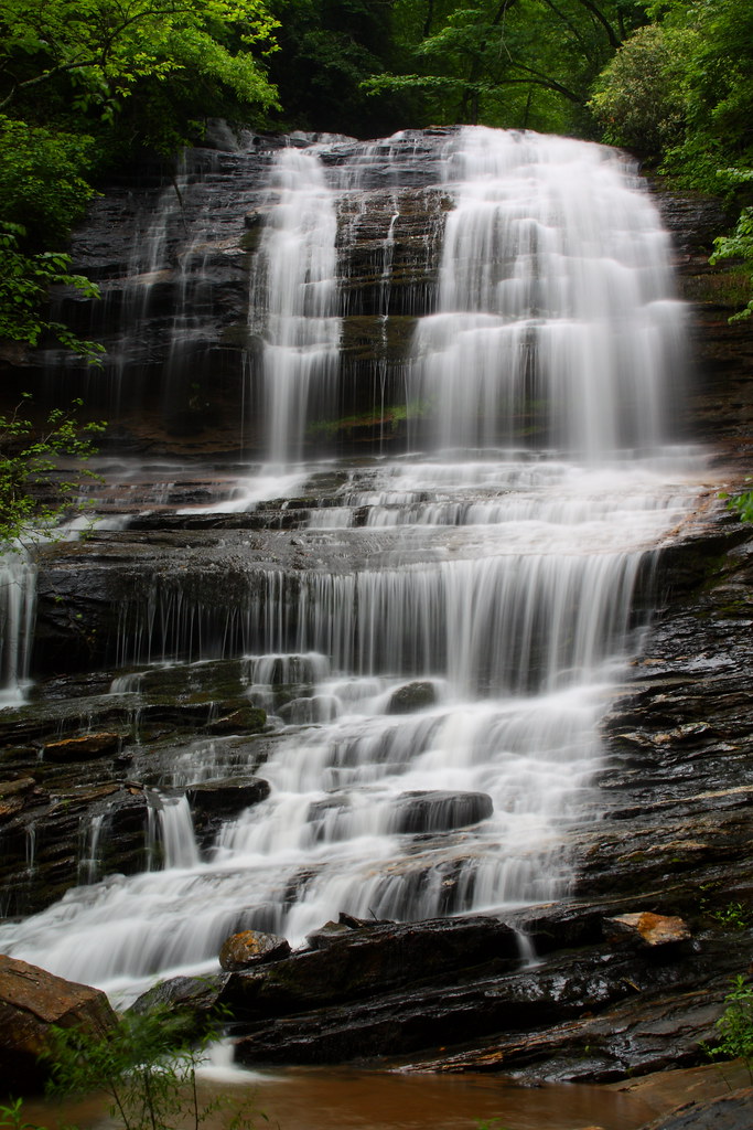
Pearson Falls

Morning Mist

Sure is pretty, and great to be back in the mountains of #Appalachia. It's been too long. #NorthCarolina #hillbilly

Intersection with path running along border

First light
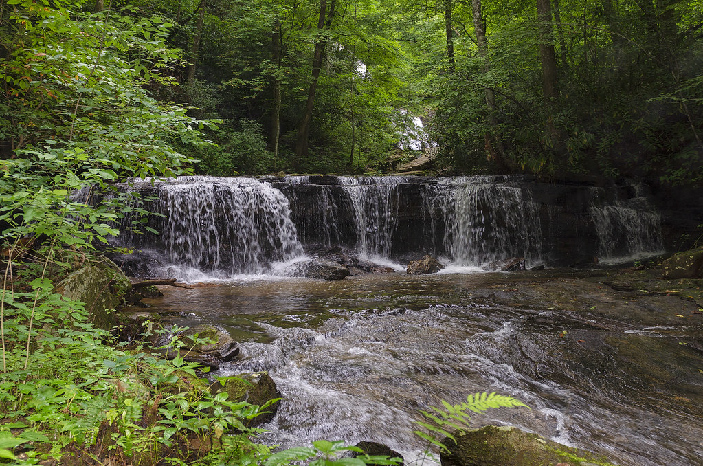
Poinsett Cascade
Pearson's Falls
North Pacolet River II
Peaceful Trail

Small Waterfall at Pearson's Falls

Bradley Falls creek
Topographic Map of Pink Campbell Rd, Landrum, SC, USA
Find elevation by address:

Places near Pink Campbell Rd, Landrum, SC, USA:
Hogback Mountain Road
2045 Hogback Mountain Rd
Melrose Mountain
765 Summit Rd
733 Summit Rd
104 Little Falls Dr
133 Little Falls Dr
25 Little Falls Dr
600 Summit Rd
341 Melrose Mountain Rd
630 Melrose Mountain Rd
630 Melrose Mountain Rd
630 Melrose Mountain Rd
1285 Melrose Mountain Rd
Melrose Mountain Road
1285 Melrose Mountain Rd
388 Summit Rd
342 Summit Rd
Omega Drive
1550 Melrose Mountain Rd
Recent Searches:
- Elevation of SW Elderview Dr, Sherwood, OR, USA
- Elevation of Hickory St, Greenville, NC, USA
- Elevation of Poplar Ln, Guffey, CO, USA
- Elevation of Falling Spring Rd, Clyde, NC, USA
- Elevation of Kingsfield St, Castle Rock, CO, USA
- Elevation of AMELIA CT HSE, VA, USA
- Elevation of Abbey Dr, Virginia Beach, VA, USA
- Elevation of Brooks Lp, Spearfish, SD, USA
- Elevation of Panther Dr, Maggie Valley, NC, USA
- Elevation of Jais St - Wadi Shehah - Ras al Khaimah - United Arab Emirates