Elevation of Pingliang, Gansu, China
Location: China > Gansu >
Longitude: 106.665131
Latitude: 35.543061
Elevation: 1397m / 4583feet
Barometric Pressure: 86KPa
Elevation Map:
Satellite Map:
Related Photos:
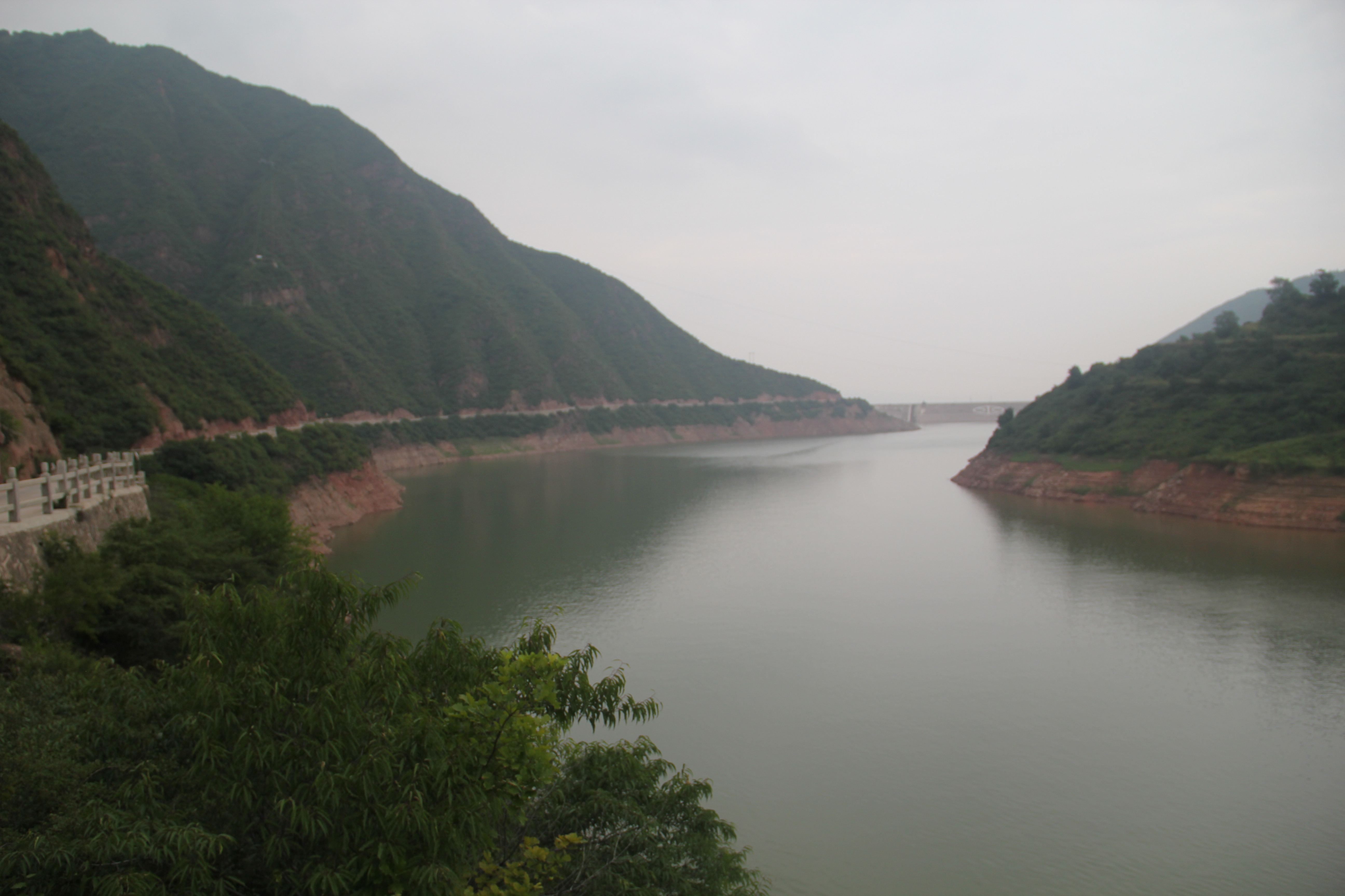
水库

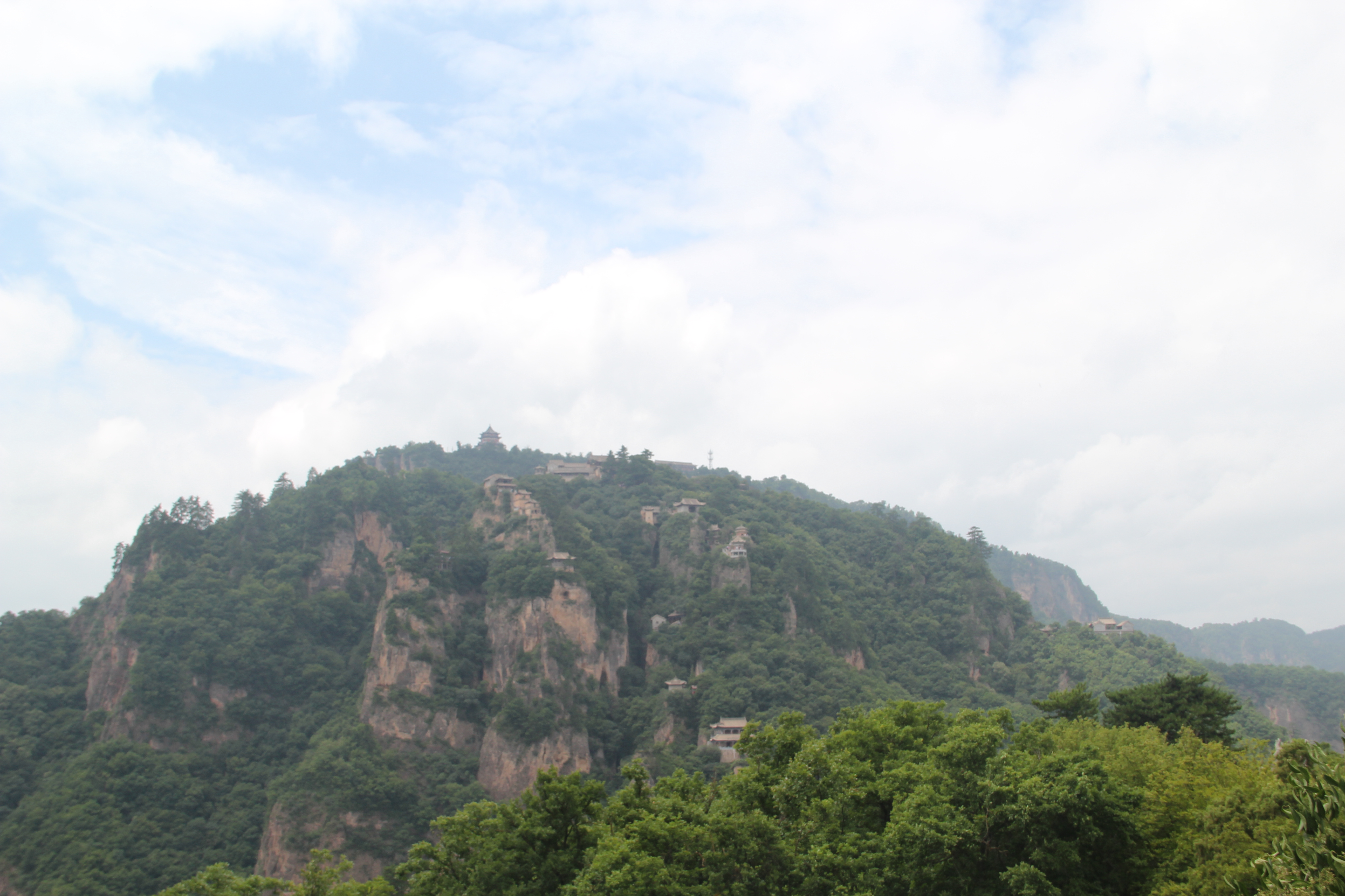
崆峒山
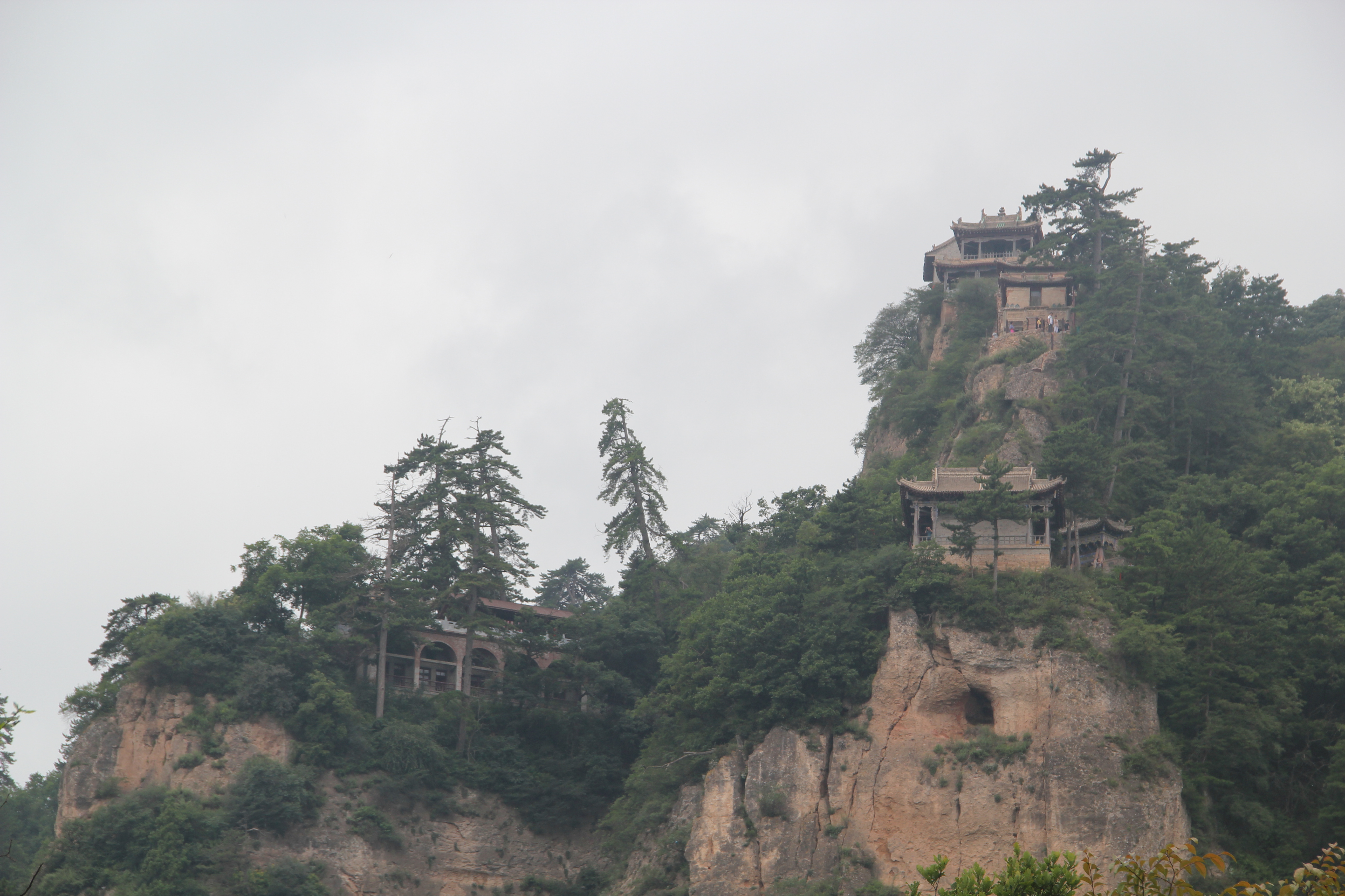
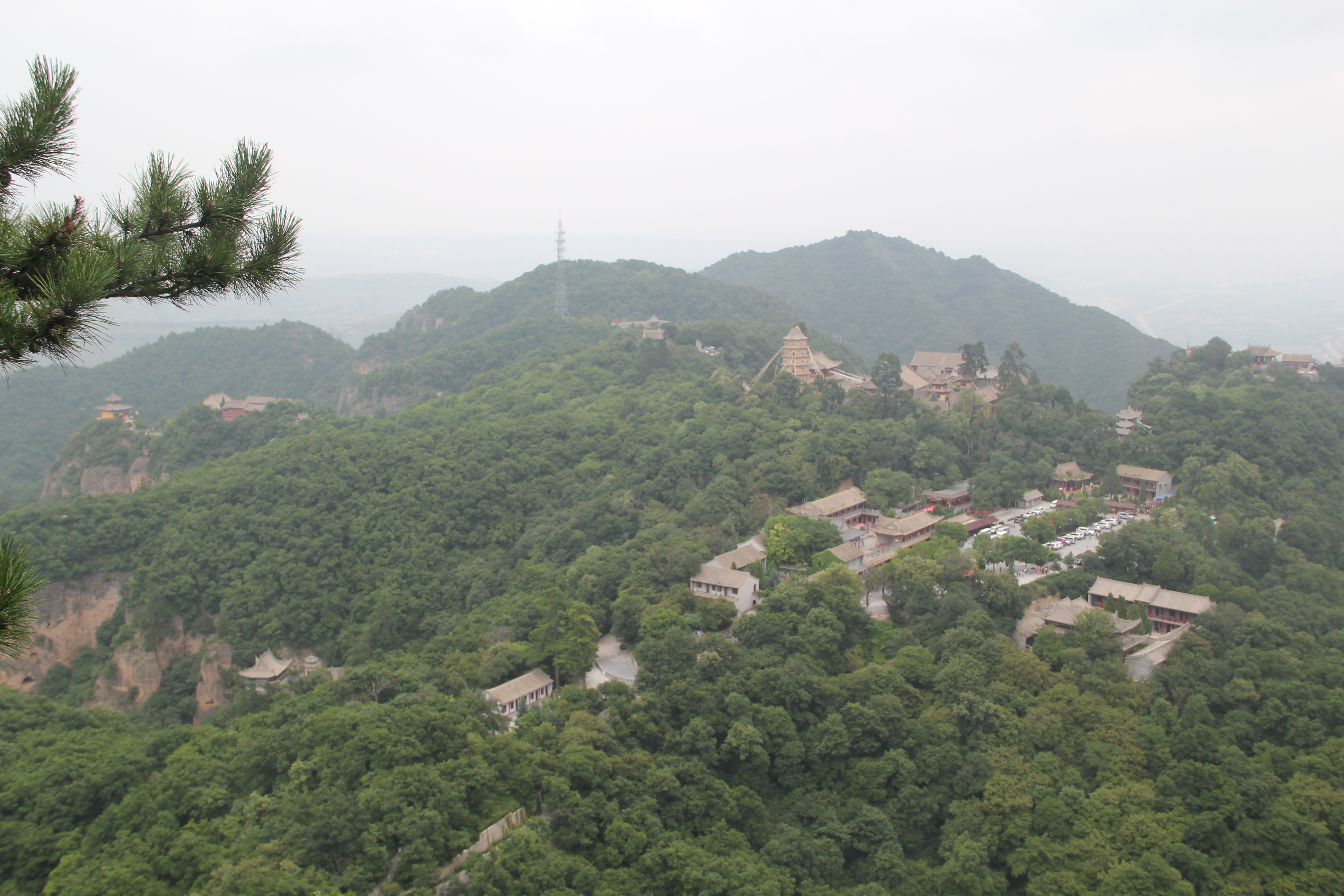
崆峒山

水库
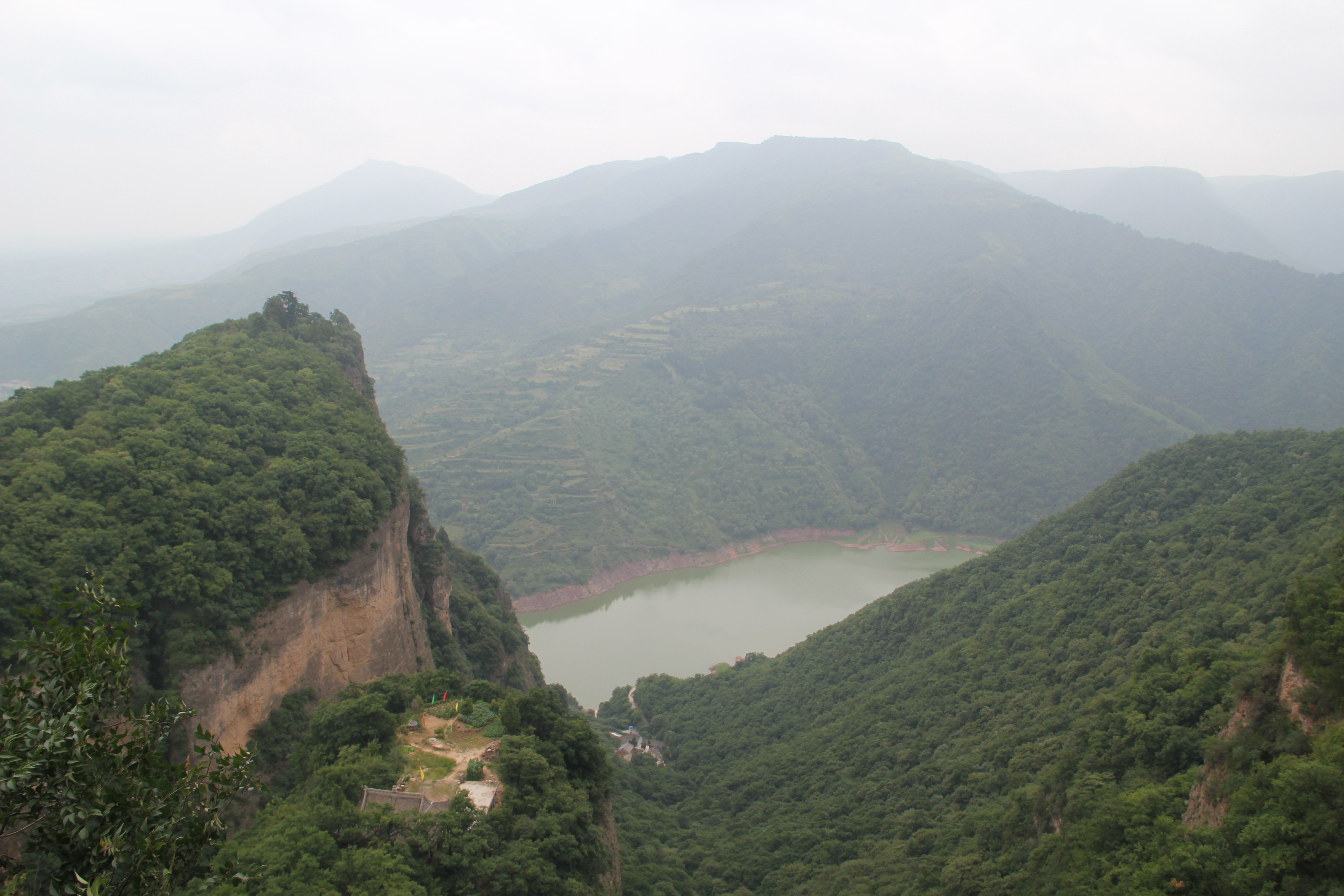
崆峒山

崆峒山
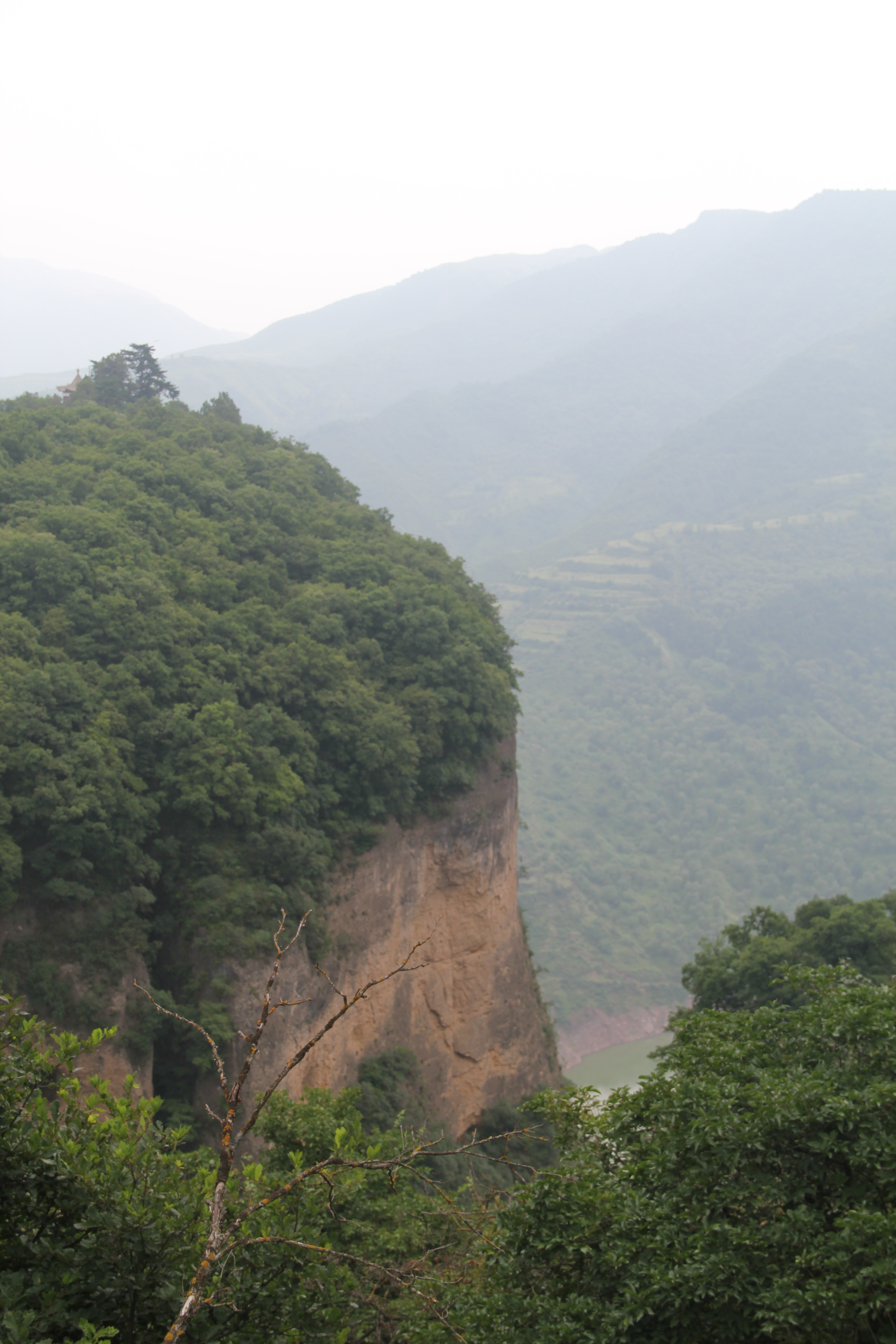
崆峒山
崆峒山
崆峒山

China 中华人民共和国, GanSu 甘肃,
Topographic Map of Pingliang, Gansu, China
Find elevation by address:

Places in Pingliang, Gansu, China:
Recent Searches:
- Elevation of Estates Loop, Priest River, ID, USA
- Elevation of Woodland Oak Pl, Thousand Oaks, CA, USA
- Elevation of Brownsdale Rd, Renfrew, PA, USA
- Elevation of Corcoran Ln, Suffolk, VA, USA
- Elevation of Mamala II, Sariaya, Quezon, Philippines
- Elevation of Sarangdanda, Nepal
- Elevation of 7 Waterfall Way, Tomball, TX, USA
- Elevation of SW 57th Ave, Portland, OR, USA
- Elevation of Crocker Dr, Vacaville, CA, USA
- Elevation of Pu Ngaol Community Meeting Hall, HWHM+3X7, Krong Saen Monourom, Cambodia