Elevation of Piney Grove Rd, Greeneville, TN, USA
Location: United States > Tennessee > Greene County > Greeneville >
Longitude: -82.81672
Latitude: 36.035739
Elevation: 522m / 1713feet
Barometric Pressure: 95KPa
Elevation Map:
Satellite Map:
Related Photos:

Houston Valley

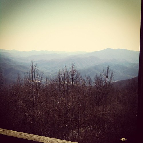
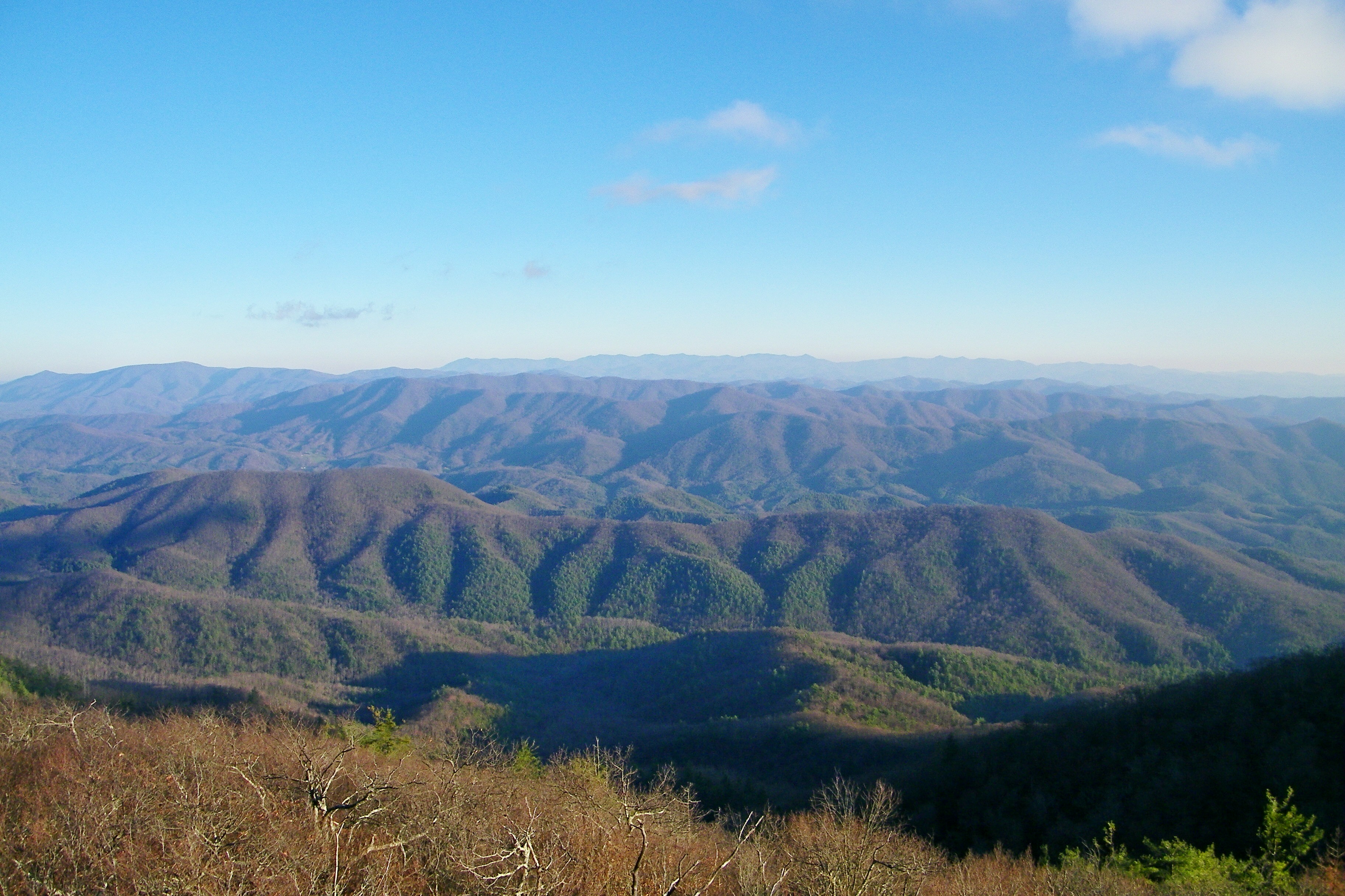
View from Meadow Creek Firetower

tracks & mountains
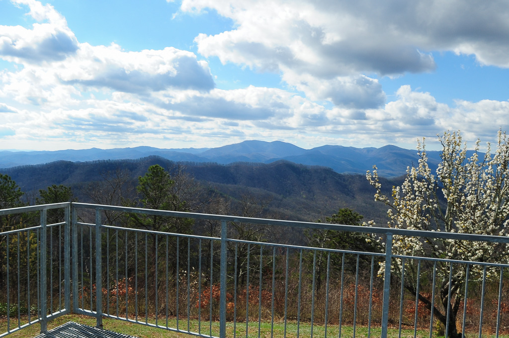
View from Meadow Creek Firetower
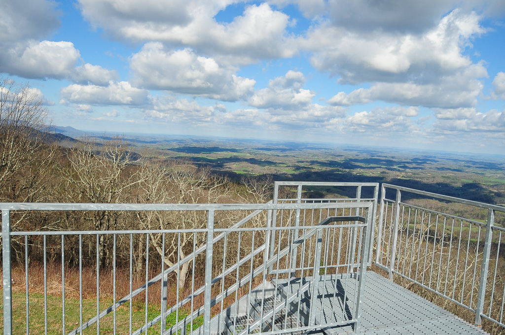
View from Meadow Creek Firetower
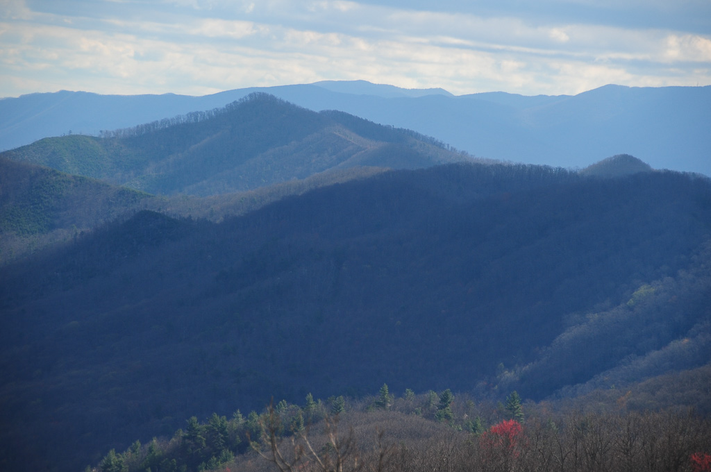
View of W4T/SU-073 - Cliffy Benchmark
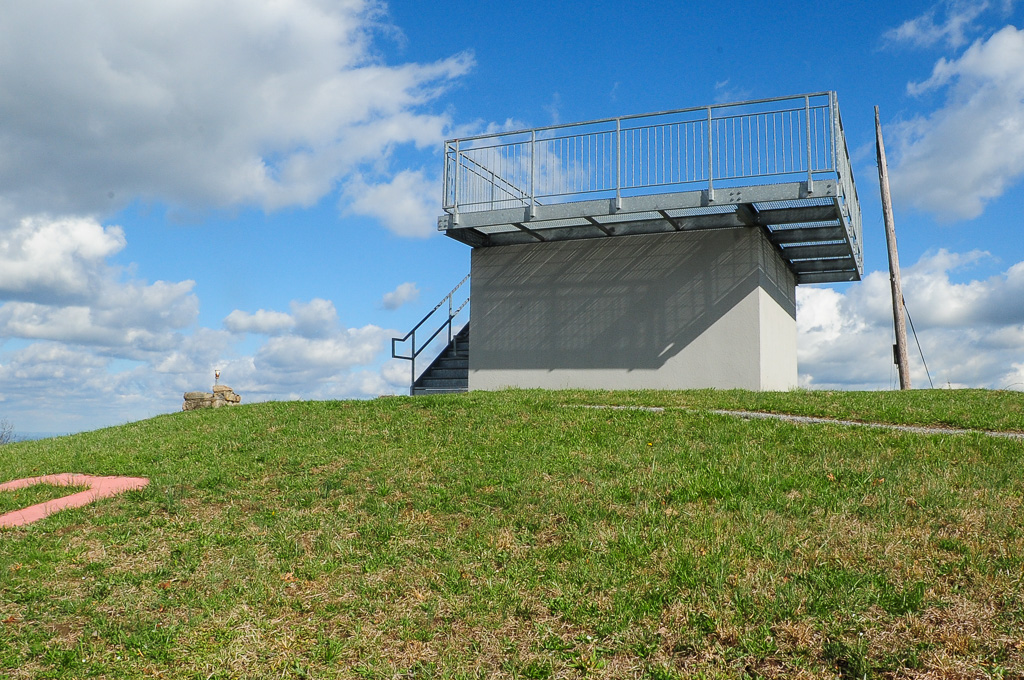
View from Meadow Creek Firetower
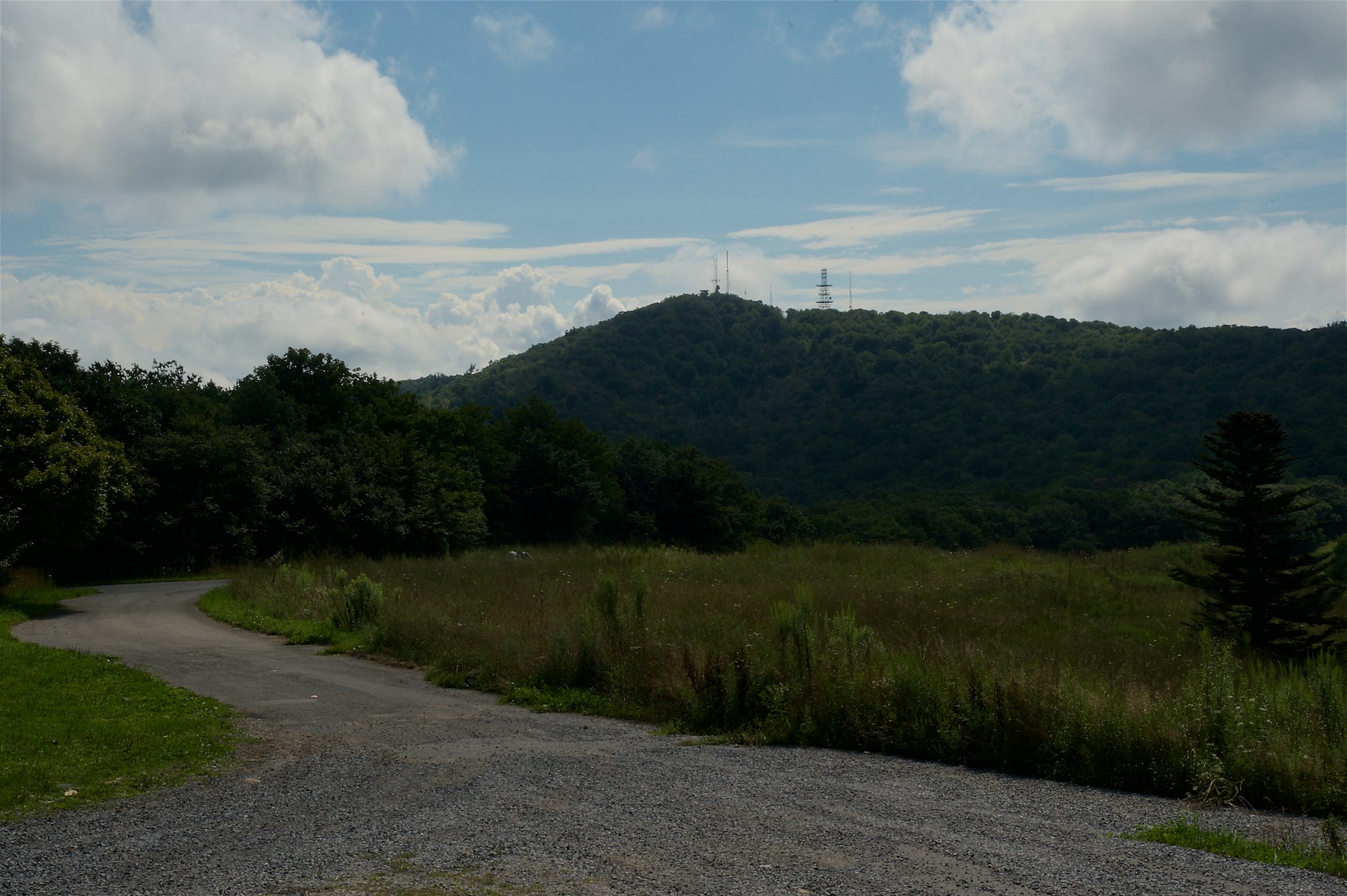
View from the Rich Mountain lookout tower

View of Cliffy Benchmark Ridgeline from Meadow Creek Firetower

Andrew Johnson Homestead (alt view) - Greeneville, TN

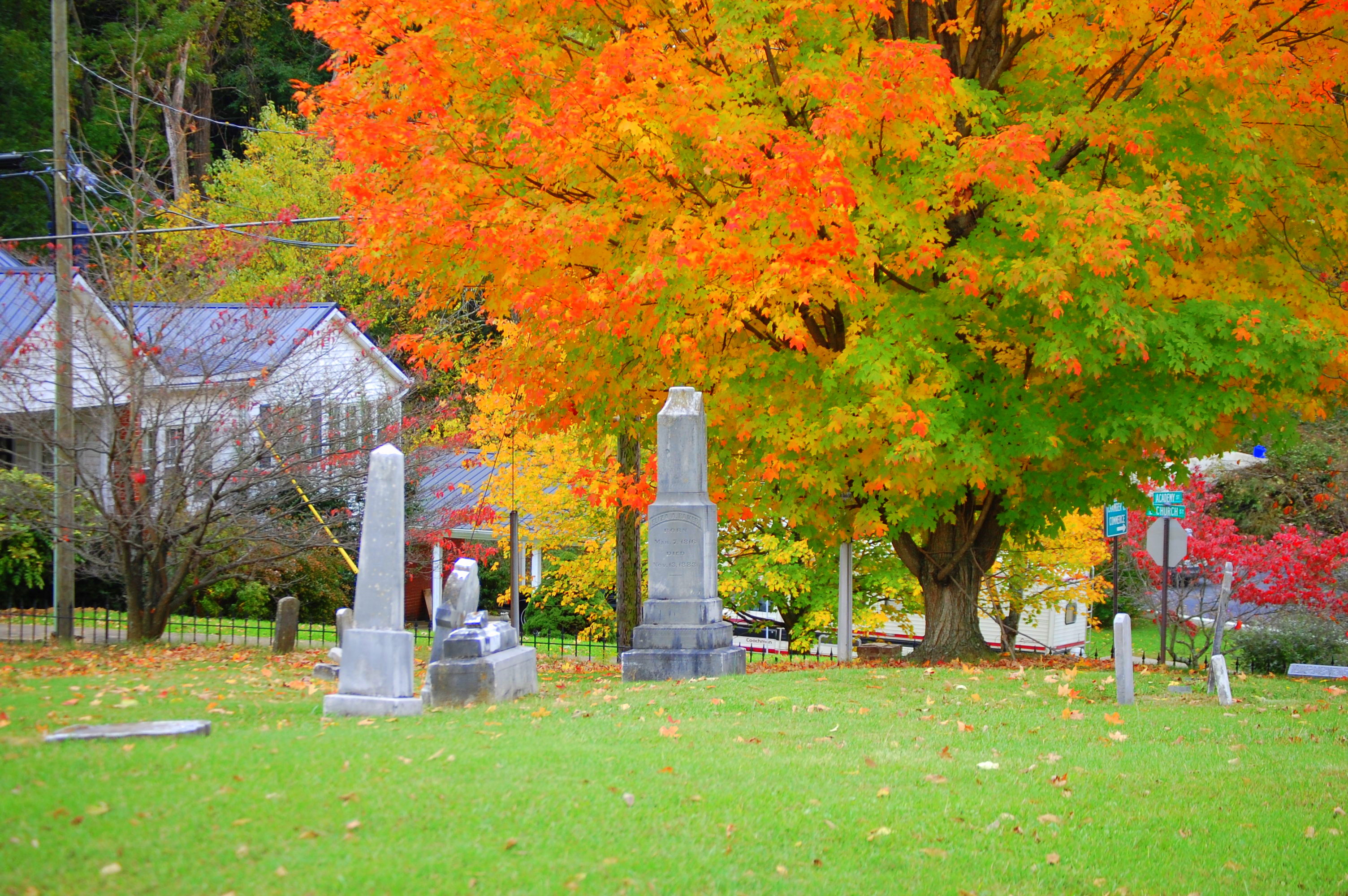
President Andrew Johnson Gravesite
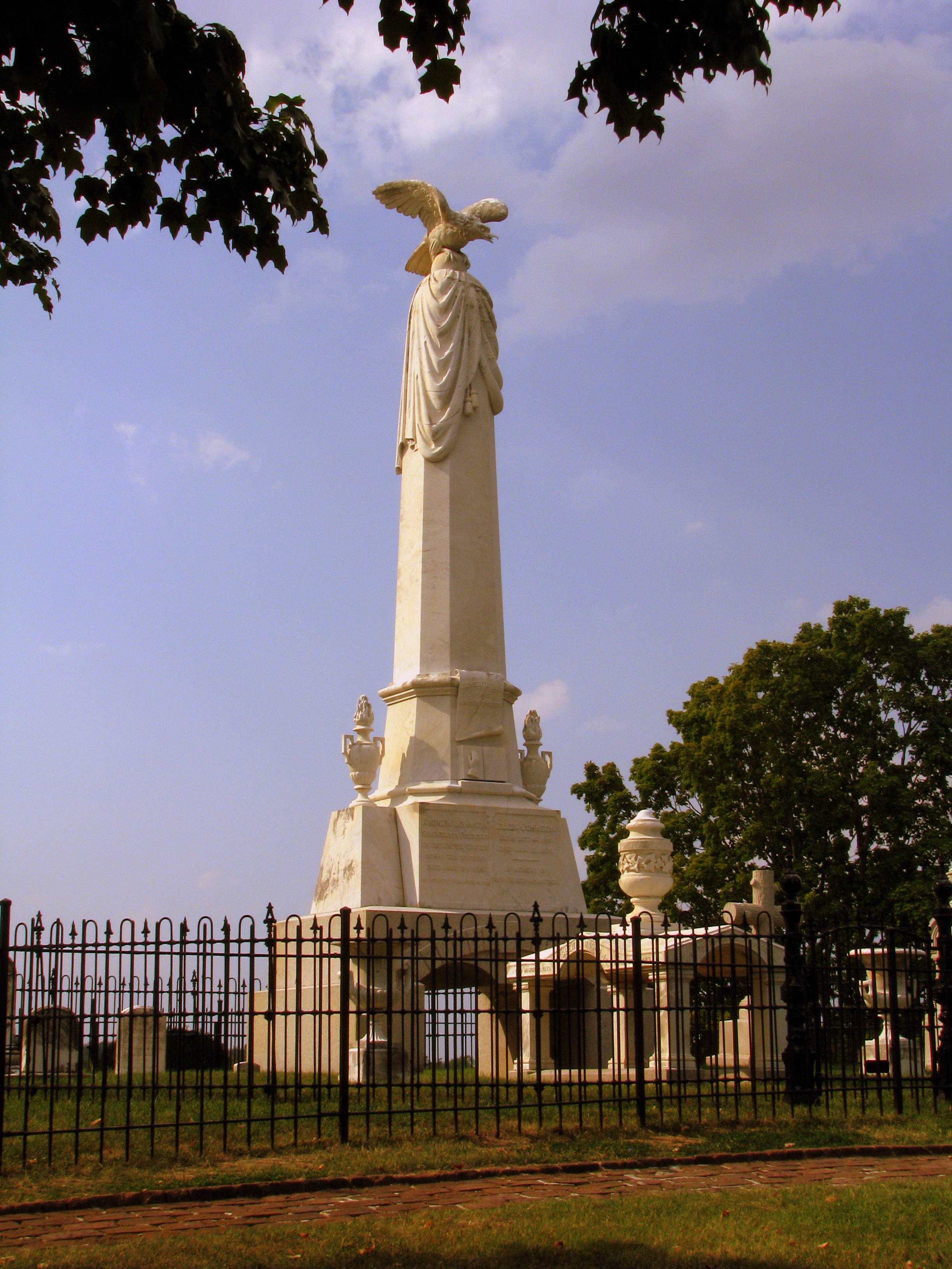
President Andrew Johnson Gravesite 2

President Andrew Johnson Gravesite 5
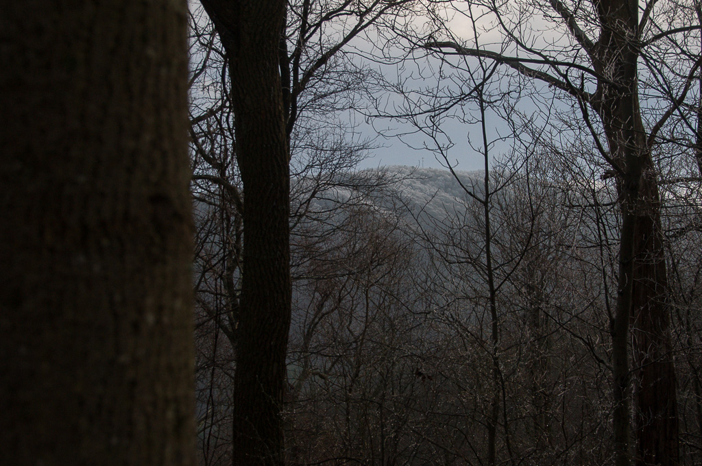
View of W4C/CM-110 Rich Mtn
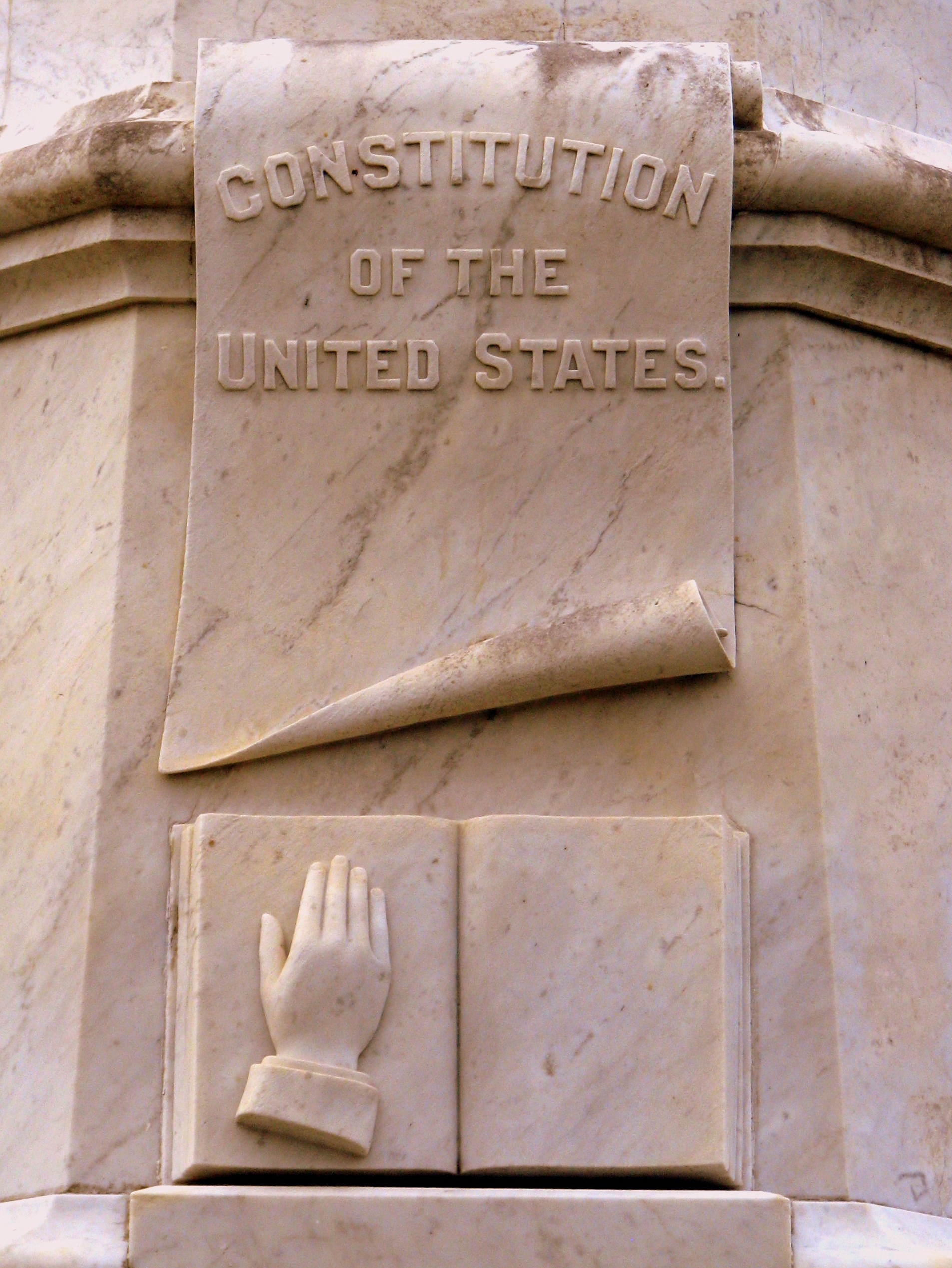
President Andrew Johnson Gravesite 4: Constitution & Bible

View of W4C/CM-110 Rich Mtn
Camp Creek Bald Lookout Tower

View from Meadow Creek Firetower
Old Harmony, Greeneville, TN
View of W4C/CM-028 - Camp Creek Bald
View from Meadow Creek Firetower
Down in the Valley

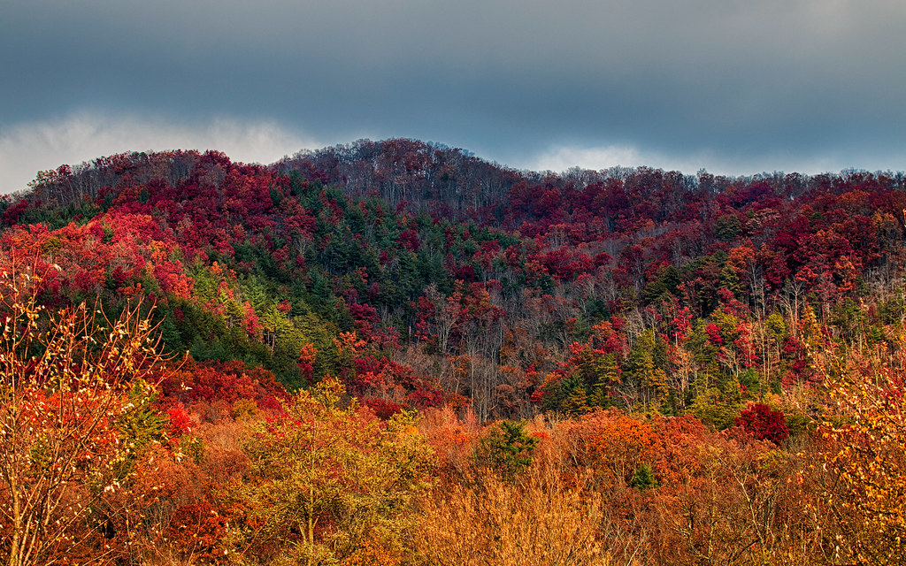
Stormy autum in the East Tennessee Valley

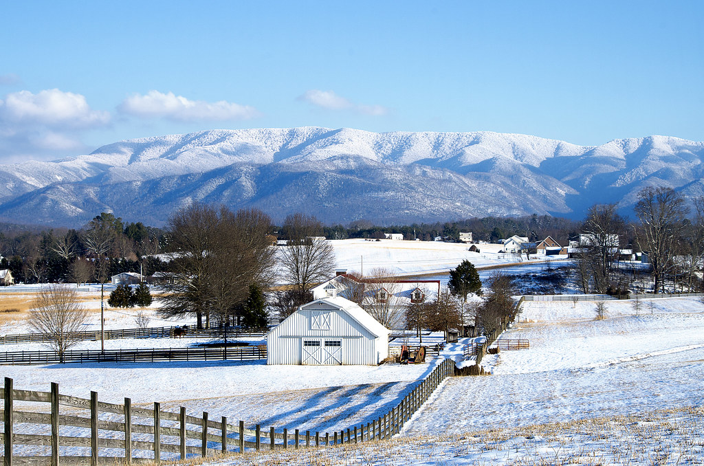
Beautiful Horse Farm in East Tennessee

Abandonded Forest Service Road in IR

Greeneville's Big Spring

Tobacco barn, Madison Count NC

French Broad River and Hot Springs, North Carolina from Lover's Leap on the Appalachian Trail.

Fallow field and barn - Not much farming these days.
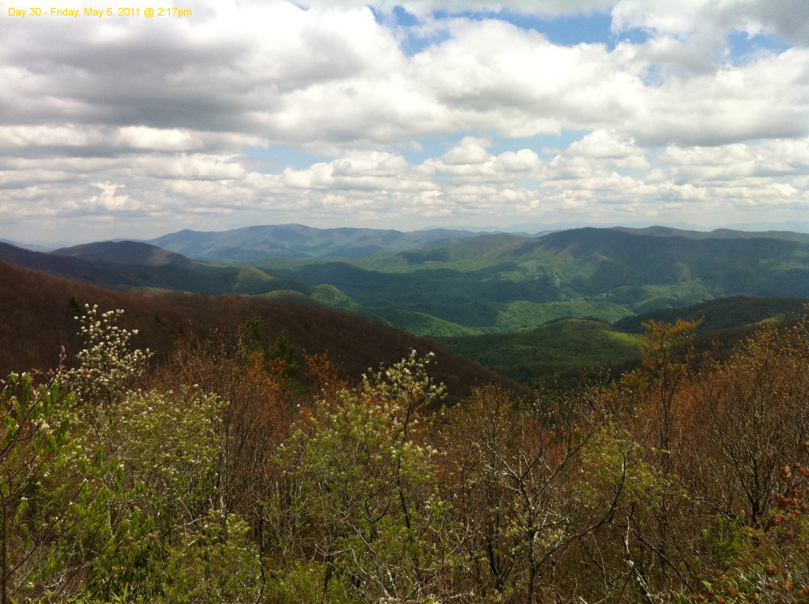
Scribbles AT Hike 2011-05-06 @ 14-17-35
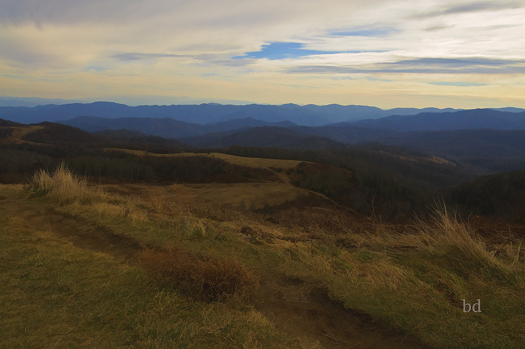
Max Patch - North Carolina - Appalachain Trail
IMG_1142_Fall.jpg
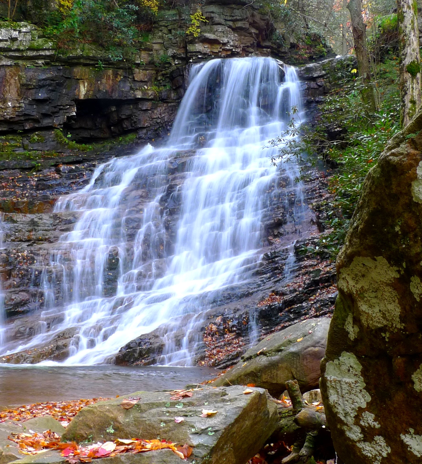
Margarette Falls

#waterfall #waterfalls
DSC_0055.jpg

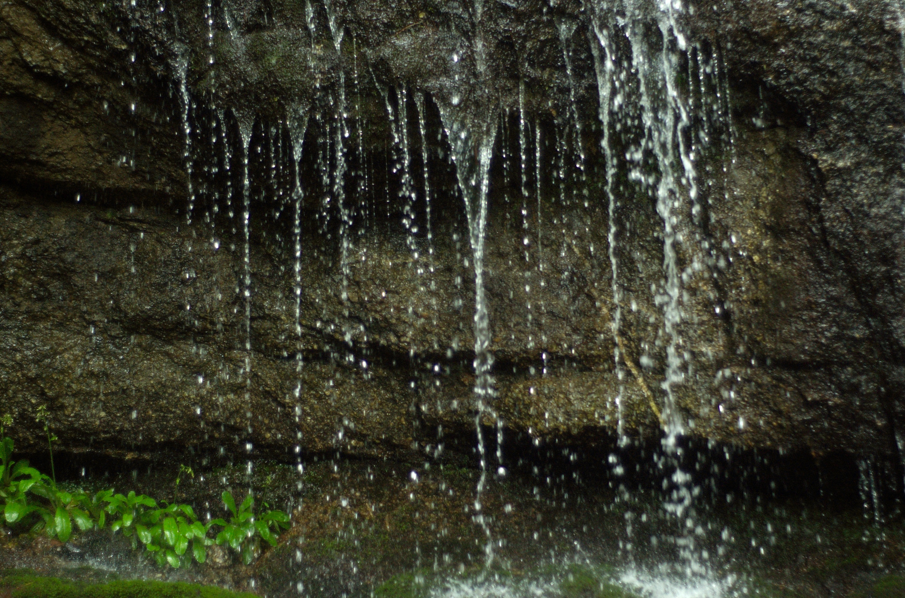
Petes Branch Falls
DSC_0036.jpg
Topographic Map of Piney Grove Rd, Greeneville, TN, USA
Find elevation by address:

Places near Piney Grove Rd, Greeneville, TN, USA:
Piney Grove Rd, Greeneville, TN, USA
450 Overbrook Ln
665 Flag Branch Rd
520 Cedar Creek Rd
1478 Foxford Rd
105 Mountain River Rd
Grey Ln, Greeneville, TN, USA
323 Grey Ln
320 Greystone Rd
562 Leonard Rd
281 Sunnyview Rd
1074 Old Mountain Rd
Birdwell Cir, Greeneville, TN, USA
Greene County
645 Possum Creek Rd
Possum Creek Road
98 Cutshall Ave, Greeneville, TN, USA
Whispering Ridges Road
1440 Nolichuckey Rd
Sunset Blvd, Greeneville, TN, USA
Recent Searches:
- Elevation of Spaceport America, Co Rd A, Truth or Consequences, NM, USA
- Elevation of Warwick, RI, USA
- Elevation of Fern Rd, Whitmore, CA, USA
- Elevation of 62 Abbey St, Marshfield, MA, USA
- Elevation of Fernwood, Bradenton, FL, USA
- Elevation of Felindre, Swansea SA5 7LU, UK
- Elevation of Leyte Industrial Development Estate, Isabel, Leyte, Philippines
- Elevation of W Granada St, Tampa, FL, USA
- Elevation of Pykes Down, Ivybridge PL21 0BY, UK
- Elevation of Jalan Senandin, Lutong, Miri, Sarawak, Malaysia