Elevation of Piney Fork Rd, Pine Grove, WV, USA
Location: United States > West Virginia > Wetzel County > > Pine Grove >
Longitude: -80.682565
Latitude: 39.510146
Elevation: 253m / 830feet
Barometric Pressure: 98KPa
Elevation Map:
Satellite Map:
Related Photos:

Lantz Farm & Nature Preserve WMA
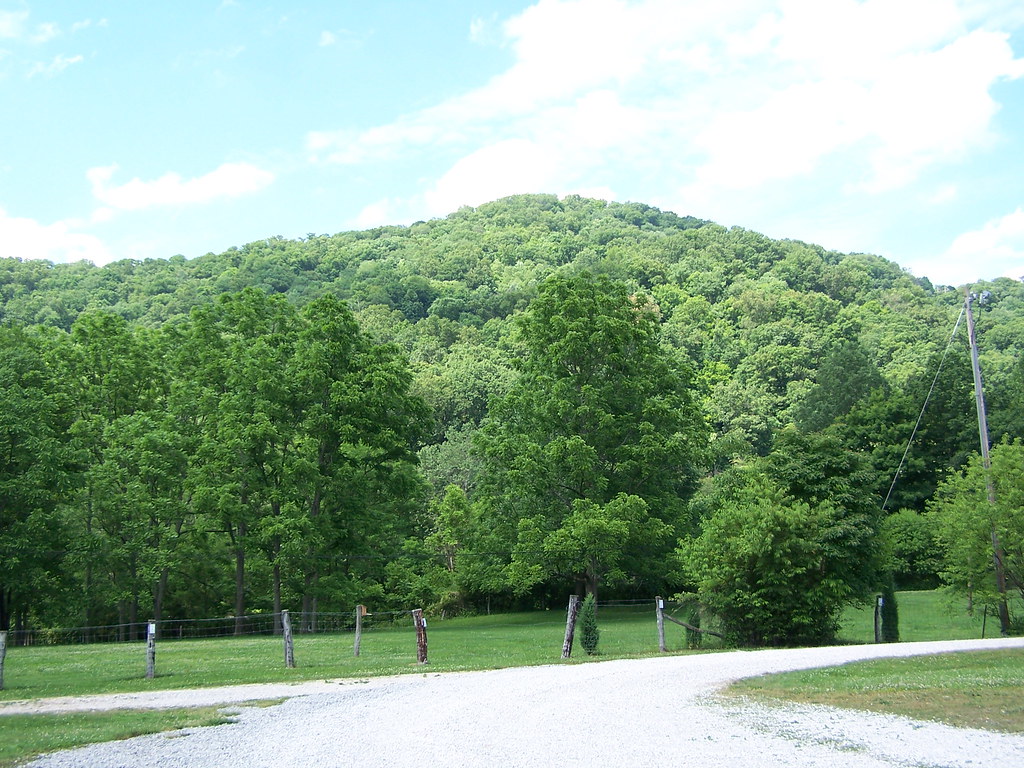
Lantz Farm & Nature Preserve WMA

Lantz Farm & Nature Preserve WMA
photo 3

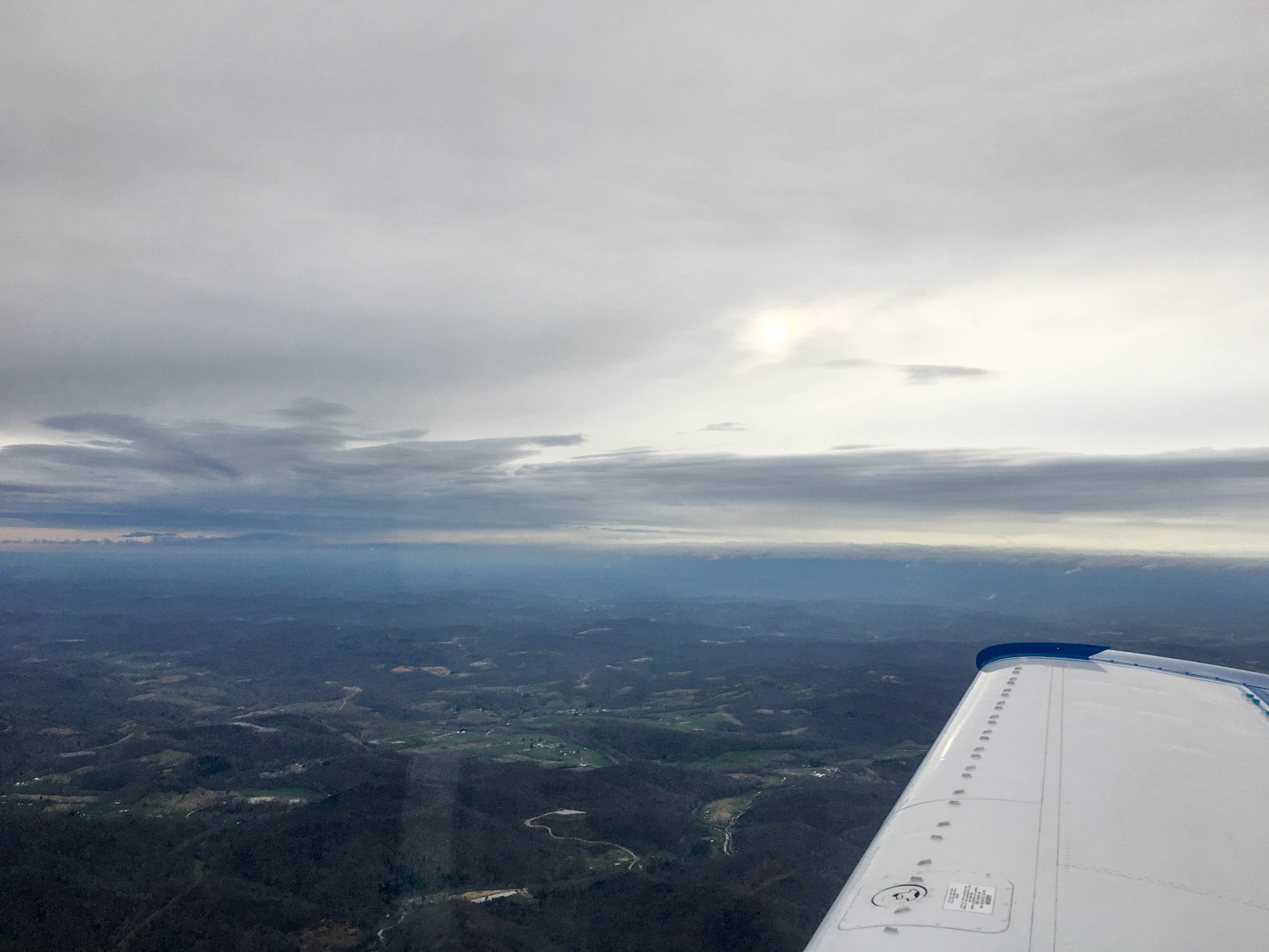
photo 1

TAuch_Infrastructure-ProcessingFacility-MarkWest-Mobley-WV_SouthWings_Jan2018

TAuch_Infrastructure-ProcessingFacility-Williams-WetzelCounty_WV_SouthWings_Jan2018
Mount Moriah Baptist Church Tyler county, WV

Tyler County Speedway

Tyler County Speedway

Tyler County Speedway

Tyler County Speedway

Tyler County Speedway
IMG_2483.jpg

Mount Moriah Baptist Church Tyler county, WV

WV 23 terminus Tyler county, WV

WV 18 and WV 23 Tyler county, WV

Hazel Filling Station - West Virginia

photo 5

photo 2
Topographic Map of Piney Fork Rd, Pine Grove, WV, USA
Find elevation by address:

Places near Piney Fork Rd, Pine Grove, WV, USA:
Piney
Pipe Yard Ln, Pine Grove, WV, USA
Hastings
Jacksonburg
Wetzel County
Pine Grove
25 Piney Fork Rd, Pine Grove, WV, USA
County Road 44
Reader
N Fork Rd, Pine Grove, WV, USA
Hoyt Ridge Rd, Pine Grove, WV, USA
1, WV, USA
Porters Falls
20 Chiselfinger Ridge Rd, Porters Falls, WV, USA
WV-20, Smithfield, WV, USA
Smithfield
Center Point
6941 Mountaineer Hwy
Talkington Fork
6475 Mountaineer Hwy
Recent Searches:
- Elevation of Shibuya Scramble Crossing, 21 Udagawacho, Shibuya City, Tokyo -, Japan
- Elevation of Jadagoniai, Kaunas District Municipality, Lithuania
- Elevation of Pagonija rock, Kranto 7-oji g. 8"N, Kaunas, Lithuania
- Elevation of Co Rd 87, Jamestown, CO, USA
- Elevation of Tenjo, Cundinamarca, Colombia
- Elevation of Côte-des-Neiges, Montreal, QC H4A 3J6, Canada
- Elevation of Bobcat Dr, Helena, MT, USA
- Elevation of Zu den Ihlowbergen, Althüttendorf, Germany
- Elevation of Badaber, Peshawar, Khyber Pakhtunkhwa, Pakistan
- Elevation of SE Heron Loop, Lincoln City, OR, USA