Elevation of Pinetop Dr, St. Louis, MO, USA
Location: United States > Missouri > St. Louis County > Oakville Township > Oakville >
Longitude: -90.333201
Latitude: 38.4186508
Elevation: 170m / 558feet
Barometric Pressure: 99KPa
Elevation Map:
Satellite Map:
Related Photos:

Snowy Ozarks view

Pretty noon view at church

ZG4MQ 19
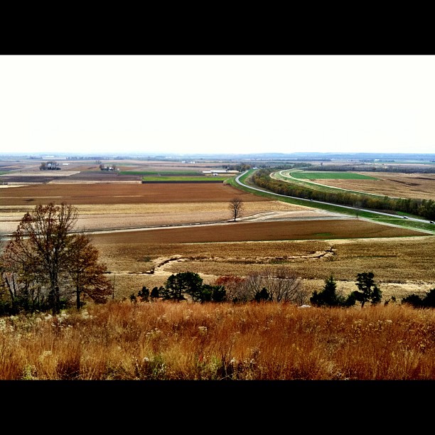
View from the top!

Valley Park RR Bridge

Water Hyancinth
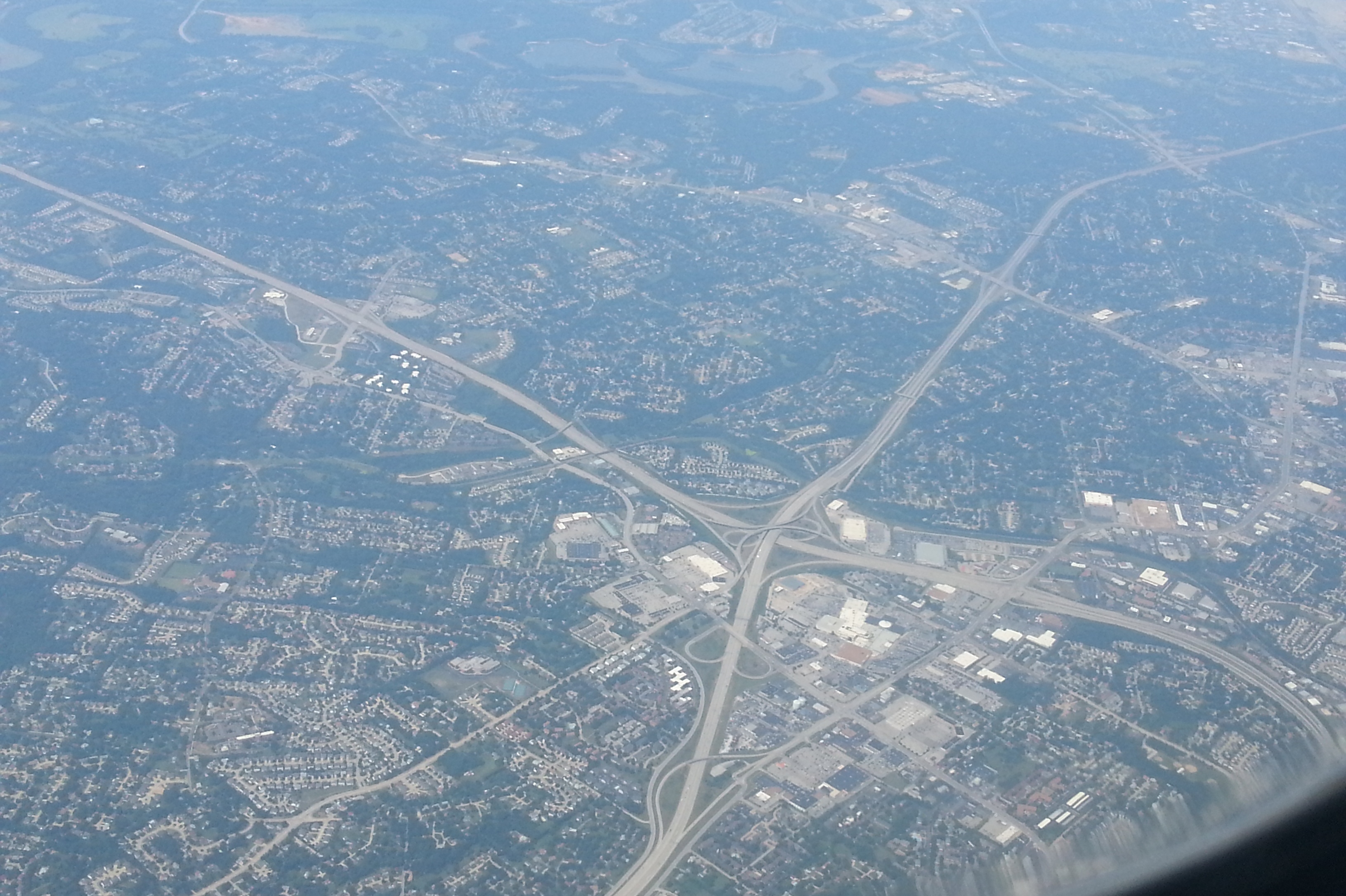
Aerial of South County Mall_20130802_122842c

A view I hope you never have to see

Windsor Harbor Road Bridge

Photo Dump 7 - 28

Photo Dump 7 - 22

Meramec River from Fenton Bridge
White Haven view

Photo Dump 7 - 27

"The Way" by Alexander Liberman - No. 4
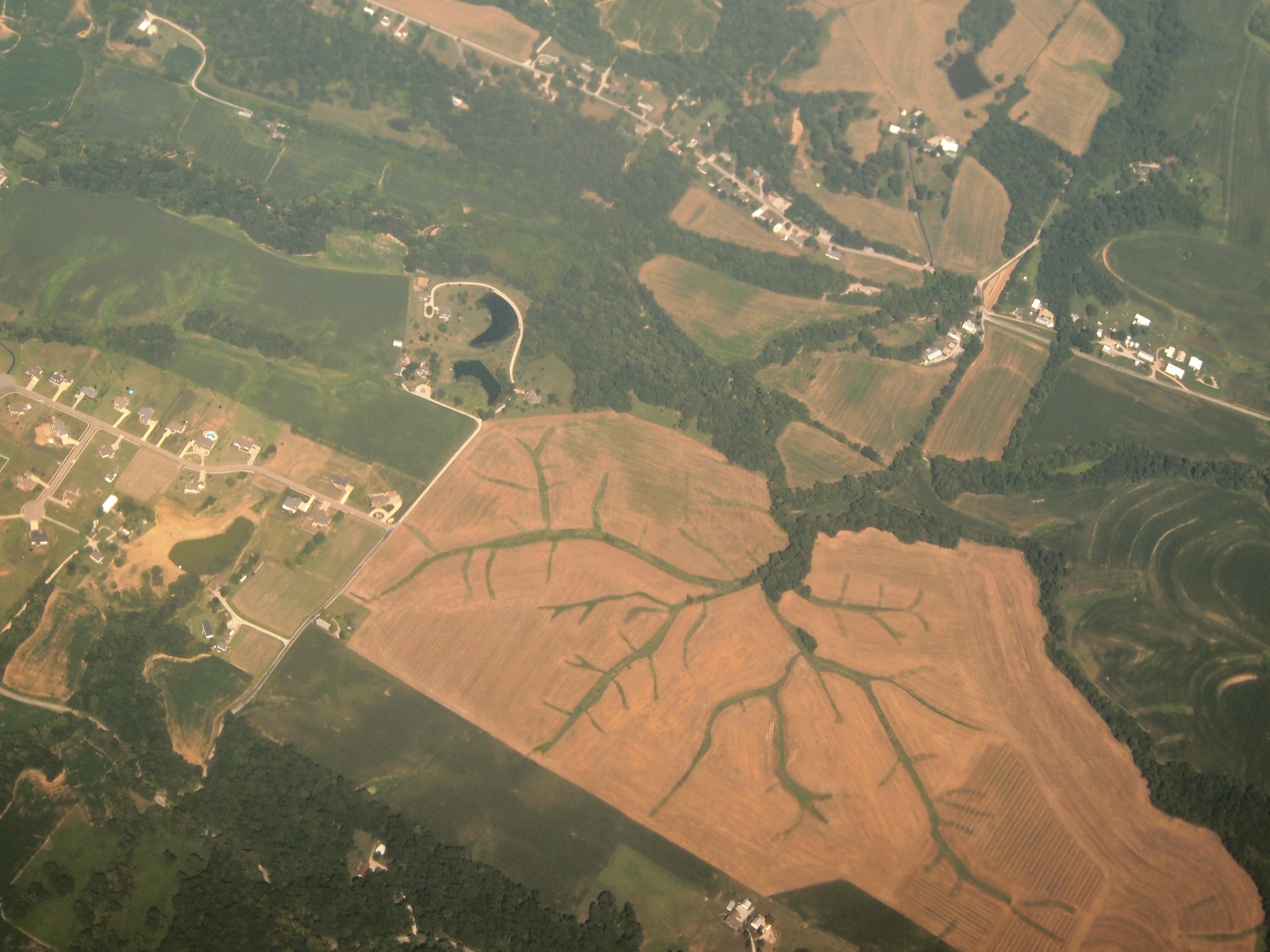
Aerial View of Dendritic Landscape off Gall Rd. South of Columbia, IL_P8025094

Aerial of Crestwood, MO_20130802_122941c3

Stained Glass Window - St. Joseph Catholic Church - Imperial, MO_IMG_2331

View of Barge Activity from the Barracks (3)

Fenton Bridge Detail
View of pylon crossing the Mississippi River from Meramec Power Plant

I Love the Ways Trees Don't Fight With Each Other

I’m not going to touch this one

Open Spaces

Grants Farm July 4, 2014

Small Storm and Rainbow

Abandoned Car in Field - South St. Louis County, MO_P3172026c3

29/365 Mississippi River at Cliff Cave County Park

DSC_4106 Grants 5 fountains 089 051207

Break of Day

Sunrise on the Mississippi

1 November 2013, Columbia, IL 001

AMXASB 01

Corny Stormlight

Salt_Lick_Trail_20170923_022-Edit

DSC_8785-Pano

Lonesome table

Scouring Rush - Arnold, MO_PA041145

Stockstrom Residence, 1949 -- entry court

Crestwood Bowl drawing '58

Cliff Cave
Topographic Map of Pinetop Dr, St. Louis, MO, USA
Find elevation by address:

Places near Pinetop Dr, St. Louis, MO, USA:
7852 Pinetop Dr
7838 Pinetop Dr
7827 Pinetop Dr
Christopher Dr, St. Louis, MO, USA
Christopher Drive
Heintz Road
Oakville Township
3031 Royal Highlands Dr
1915 Royal Seasons Dr
Merrimac Rd, Valmeyer, IL, USA
437 Susan Rd
2703 Mountain Top Dr
2724 Sky Hill Ct
Hunter's Ridge Apartments
Telegraph Rd, St. Louis, MO, USA
Oakville
2203 Aileswick Dr
US-61, St. Louis, MO, USA
Hanover Rd, Columbia, IL, USA
1931 Westgate Dr
Recent Searches:
- Elevation of State St, Zanesville, OH, USA
- Elevation of Austin Stone Dr, Haslet, TX, USA
- Elevation of Bydgoszcz, Poland
- Elevation of Bydgoszcz, Poland
- Elevation of Calais Dr, Del Mar, CA, USA
- Elevation of Placer Mine Ln, West Jordan, UT, USA
- Elevation of E 63rd St, New York, NY, USA
- Elevation of Elk City, OK, USA
- Elevation of Erika Dr, Windsor, CA, USA
- Elevation of Village Ln, Finleyville, PA, USA