Elevation of Pine St, Susanville, CA, USA
Location: United States > California > Susanville >
Longitude: -120.15373
Latitude: 40.1412903
Elevation: 1252m / 4108feet
Barometric Pressure: 87KPa
Elevation Map:
Satellite Map:
Related Photos:
Black Mountain Lookout in Plumas National Forest.
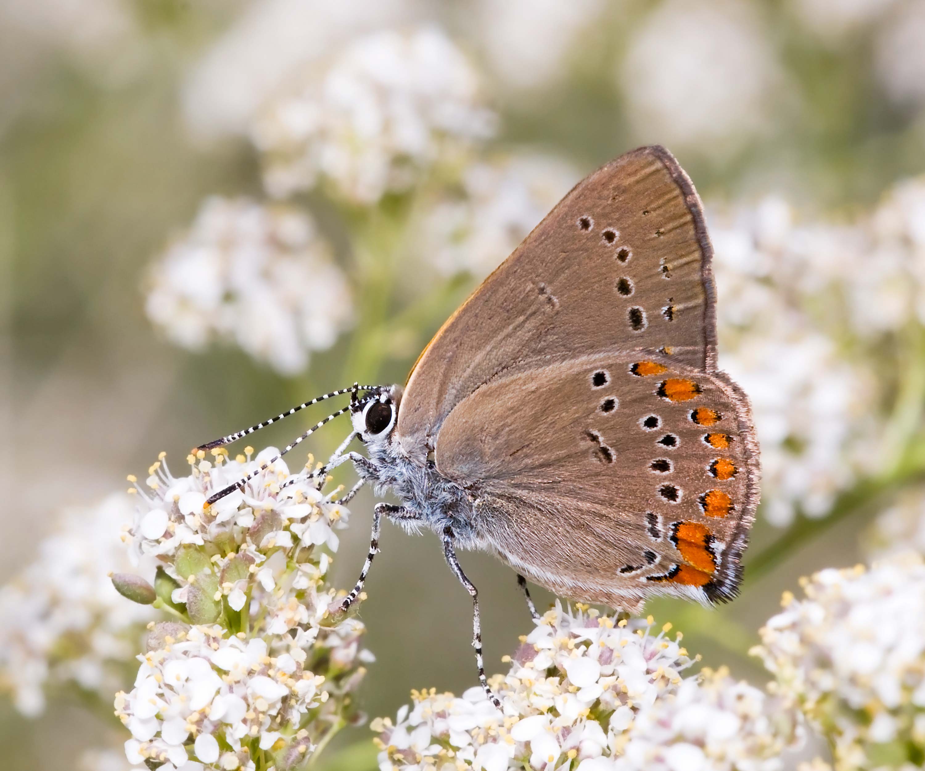
Coral Hairstreak (Satyrium titus)
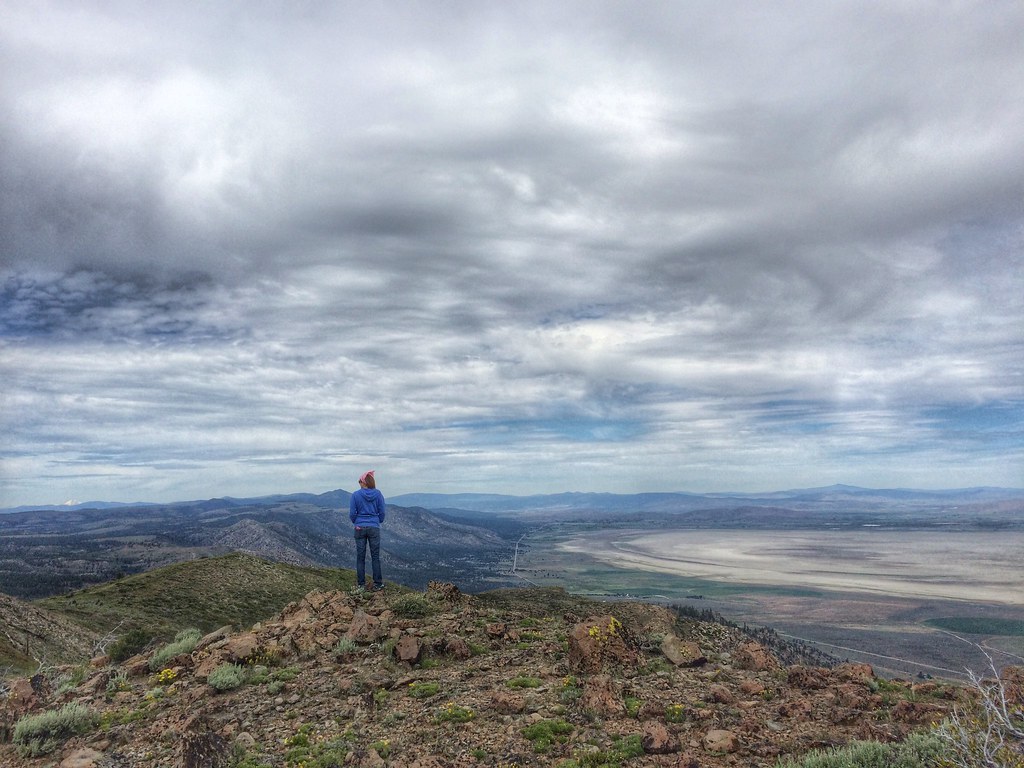
there's some rain over there ... glad I'm here
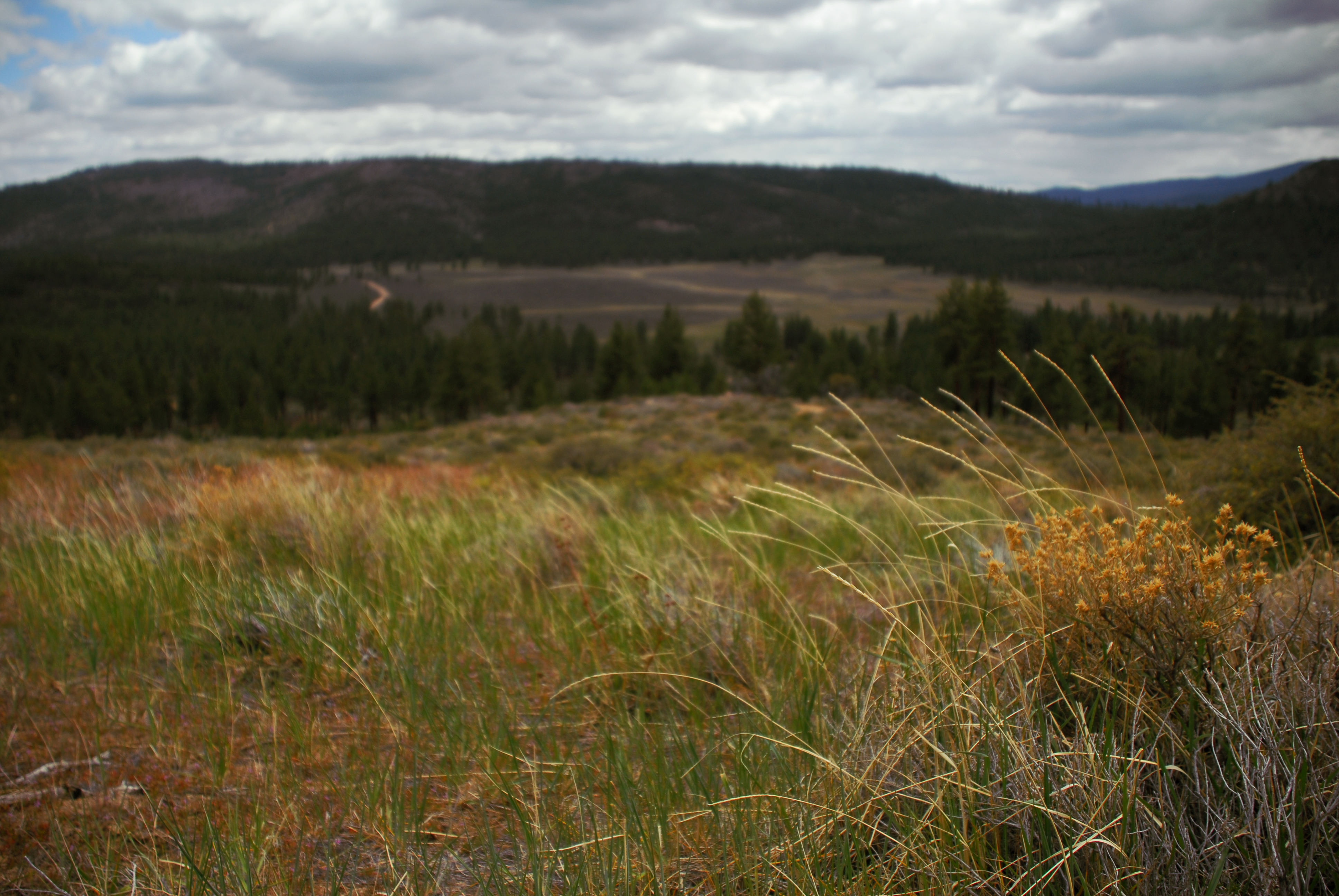
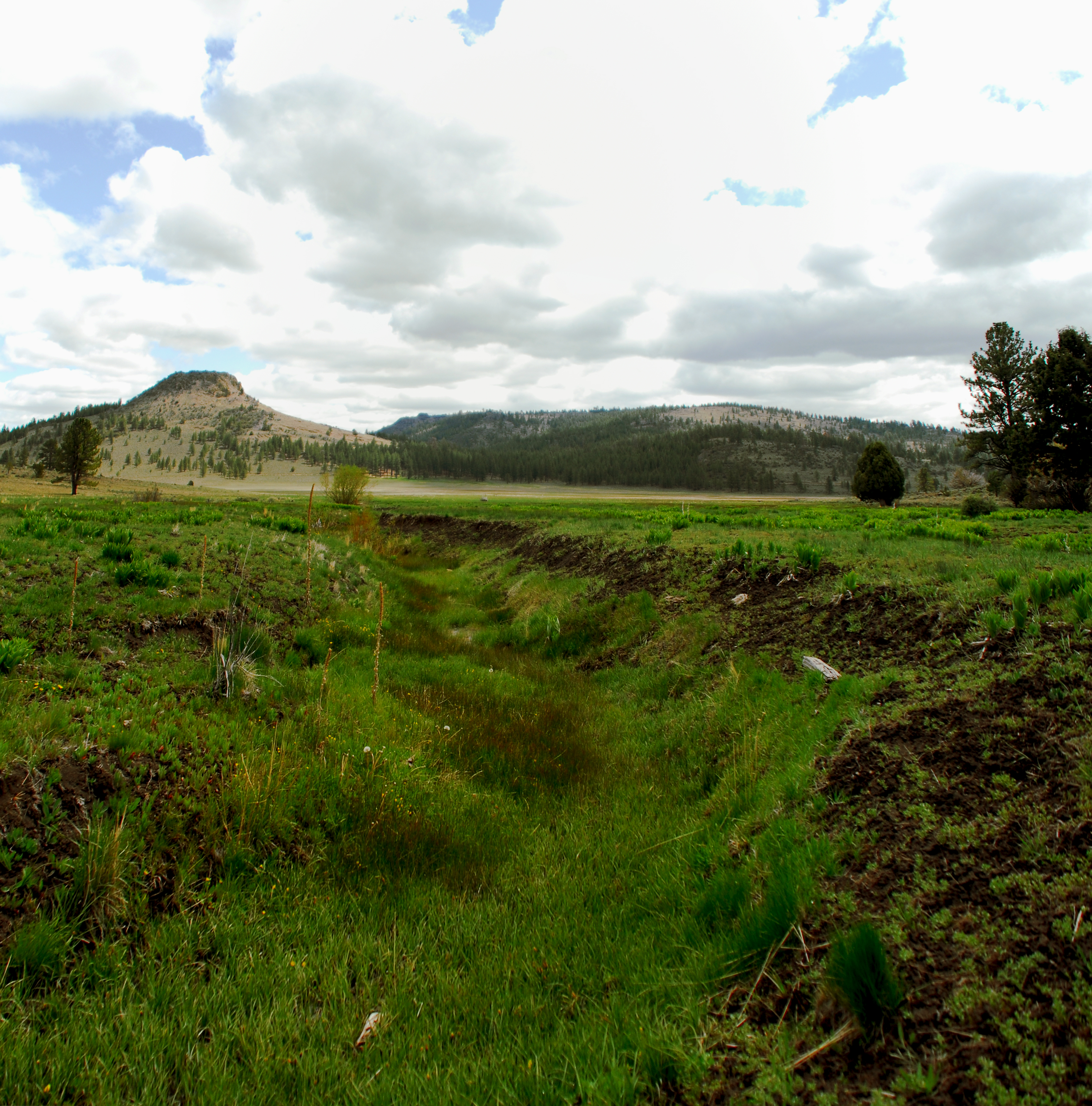
hill above meadowview
Eastern Sierra
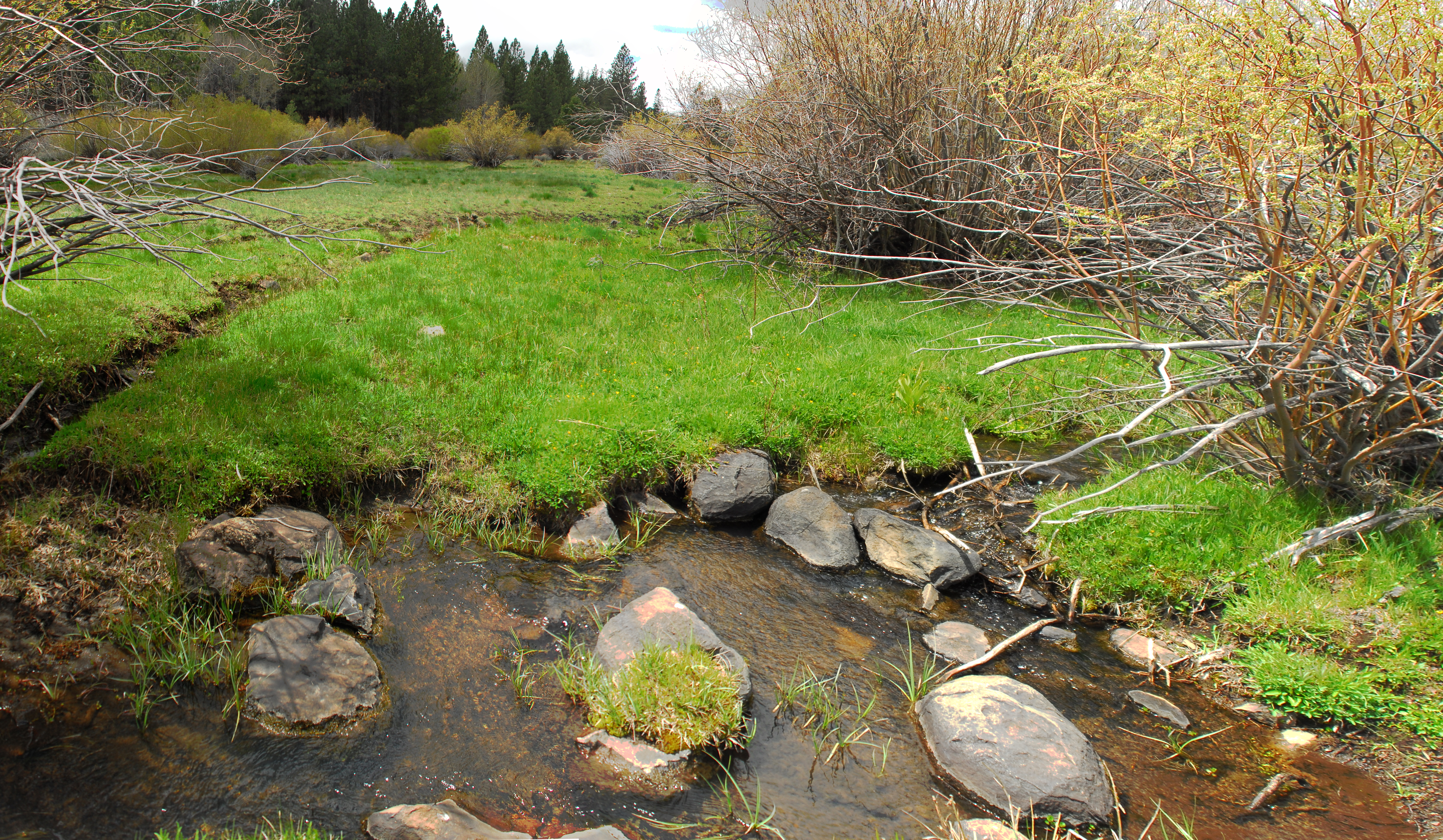
downstream of fence
artray fan gully
Desert Driving Range
fan deposits
downstream-most pond and channel
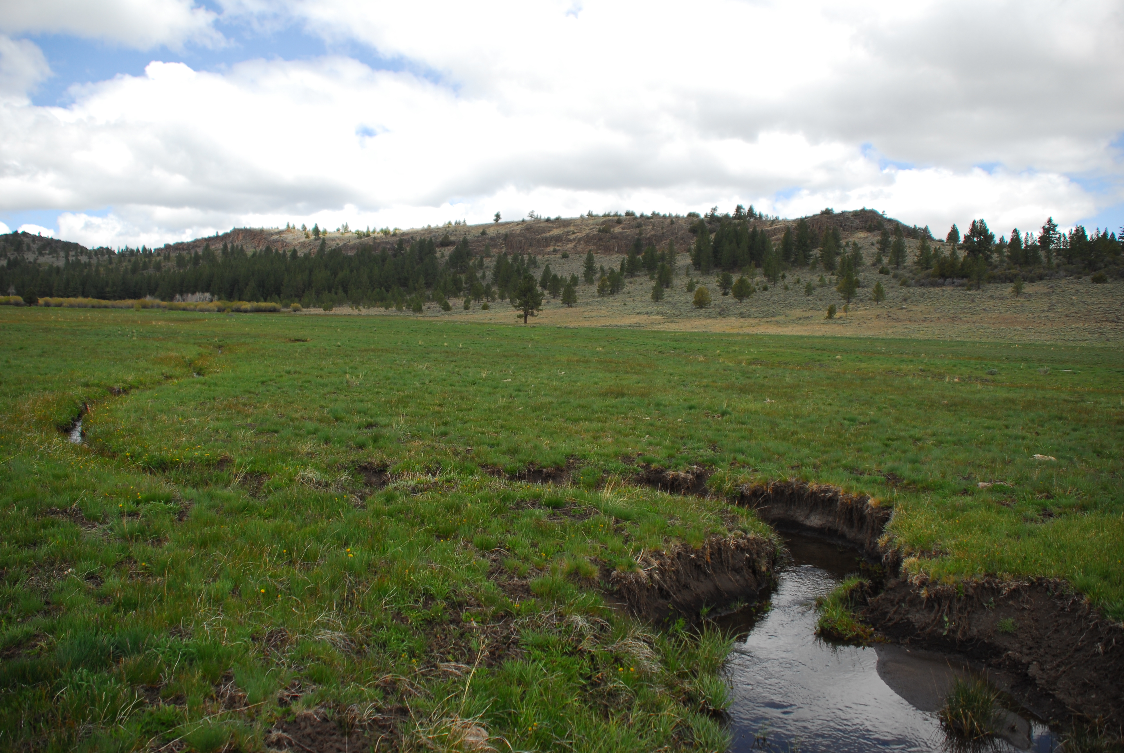
gully outside fence
Tall Stack

young aspens in channel
willow and channel
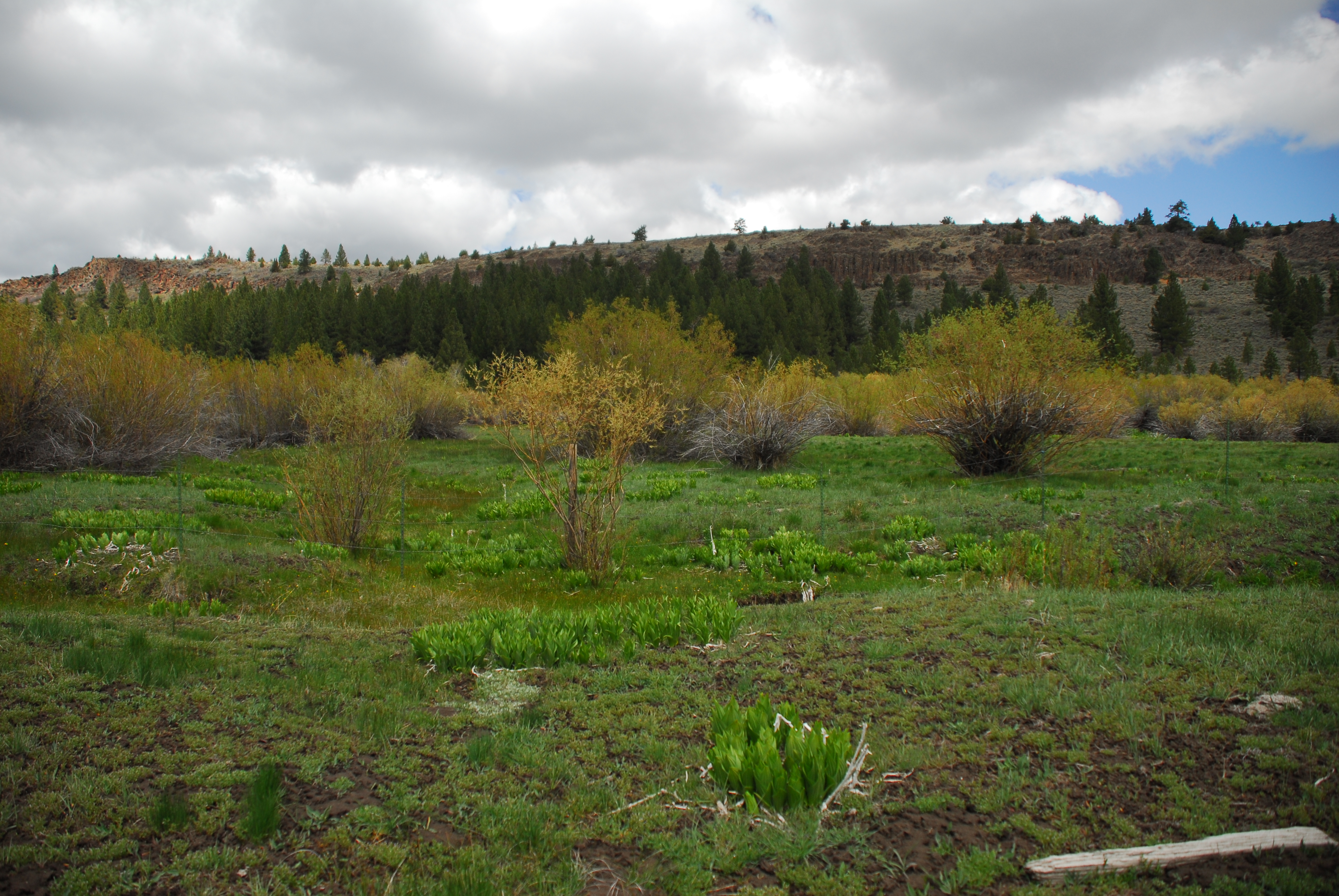
willows at fan fence

Young Red Tail
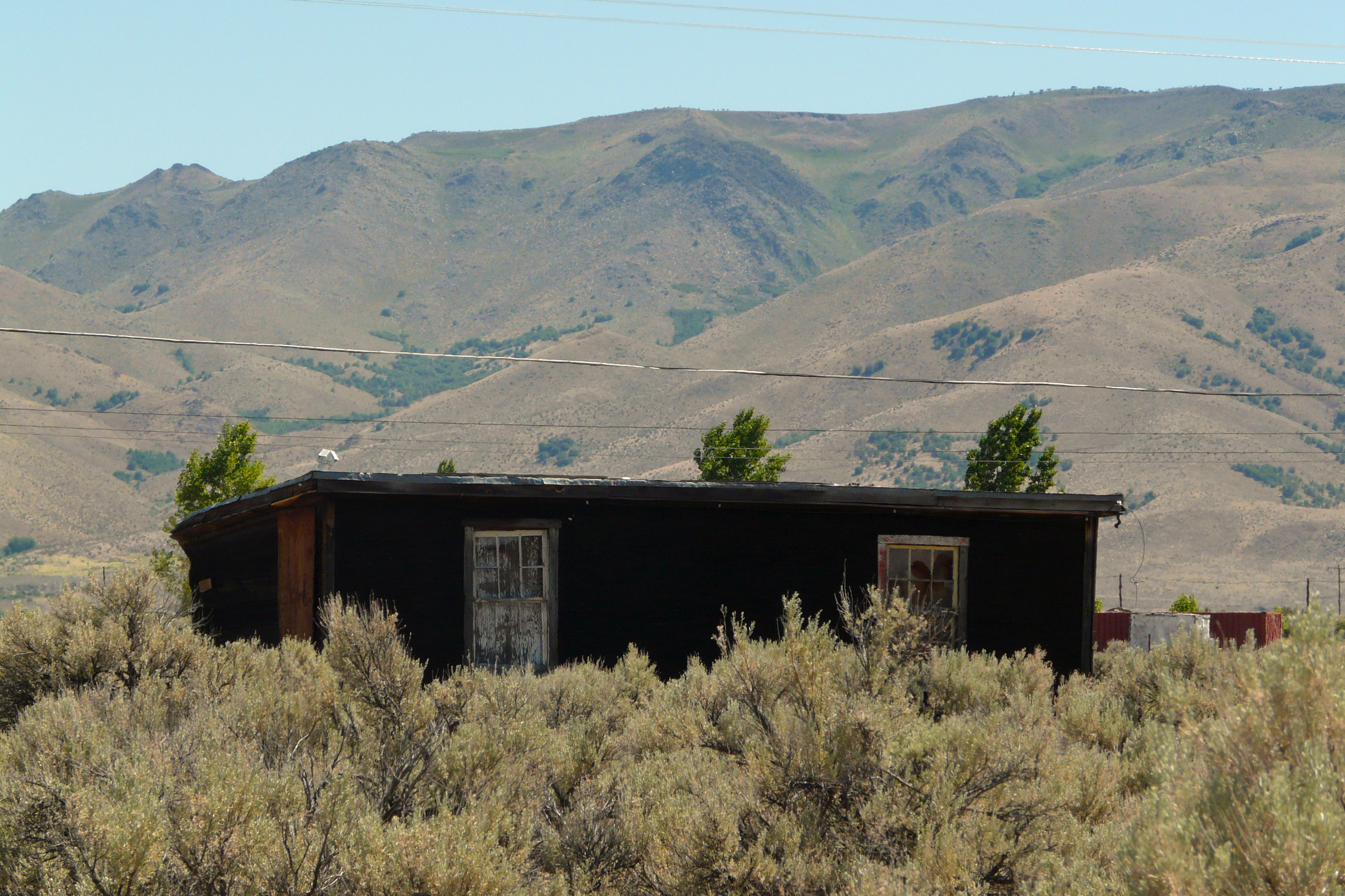
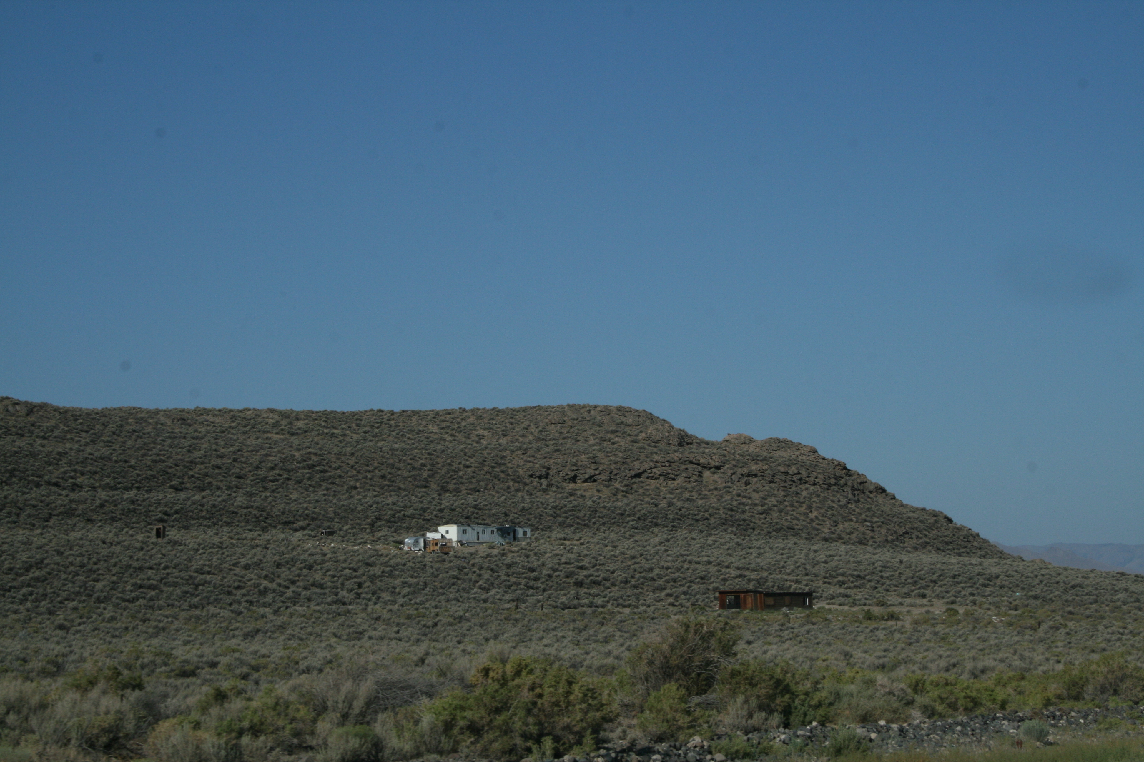
Tarpaper Shack

Honey Lake
fan channel
channel at fence
Picture 091

cut channel
Topographic Map of Pine St, Susanville, CA, USA
Find elevation by address:

Places near Pine St, Susanville, CA, USA:
107 Aspen
107 Aspen St
Herlong
Sierra Army Depot
445-25
Doyle
749-855
State Line Peak
469-660
Milford
450-275
Wendel
Hot Springs Peak
Adams Peak
Dixie Mountain
720-030 Westview Rd
Frenchman Lake Road
21905 Fetlock Dr
670 Appaloosa Cir
Reconnaissance Peak
Recent Searches:
- Elevation of Zimmer Trail, Pennsylvania, USA
- Elevation of 87 Kilmartin Ave, Bristol, CT, USA
- Elevation of Honghe National Nature Reserve, QP95+PJP, Tongjiang, Heilongjiang, Jiamusi, Heilongjiang, China
- Elevation of Hercules Dr, Colorado Springs, CO, USA
- Elevation of Szlak pieszy czarny, Poland
- Elevation of Griffing Blvd, Biscayne Park, FL, USA
- Elevation of Kreuzburger Weg 13, Düsseldorf, Germany
- Elevation of Gateway Blvd SE, Canton, OH, USA
- Elevation of East W.T. Harris Boulevard, E W.T. Harris Blvd, Charlotte, NC, USA
- Elevation of West Sugar Creek, Charlotte, NC, USA