Elevation of Pine Rd, Gold Bar, WA, USA
Location: United States > Washington > Snohomish County > Gold Bar >
Longitude: -121.63919
Latitude: 47.836435
Elevation: 90m / 295feet
Barometric Pressure: 100KPa
Elevation Map:
Satellite Map:
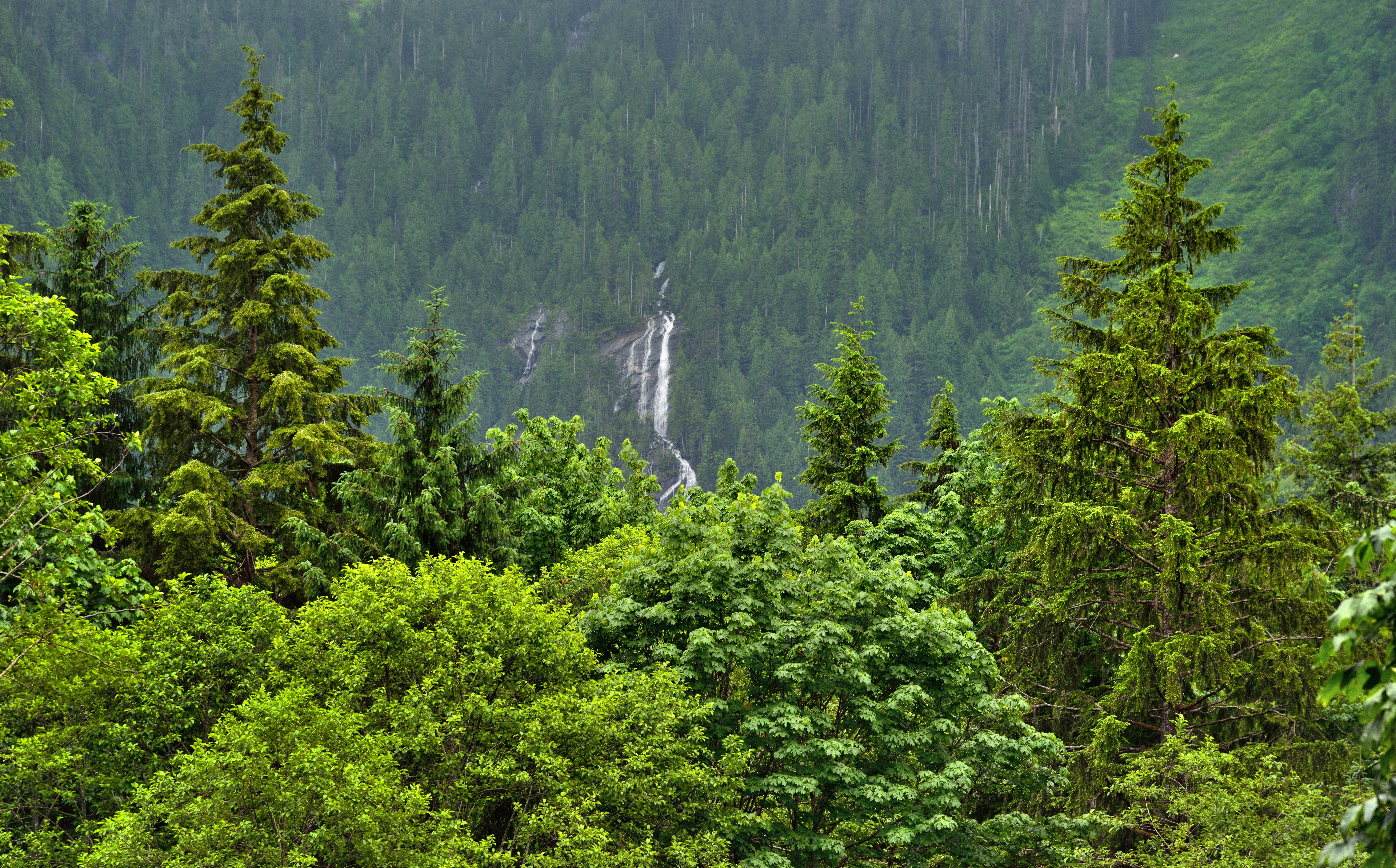
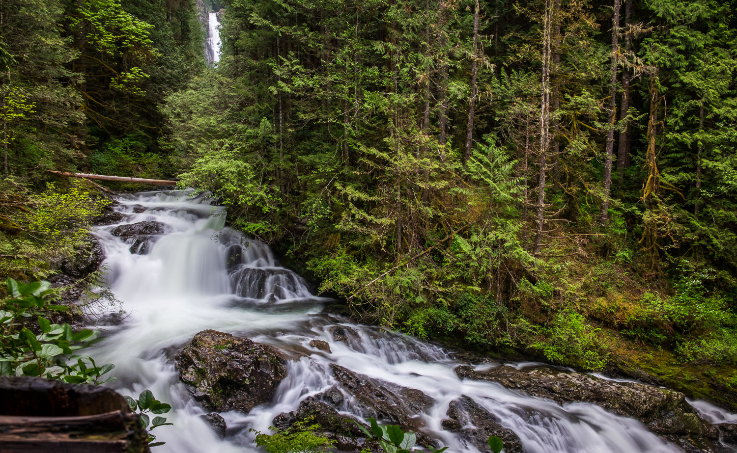
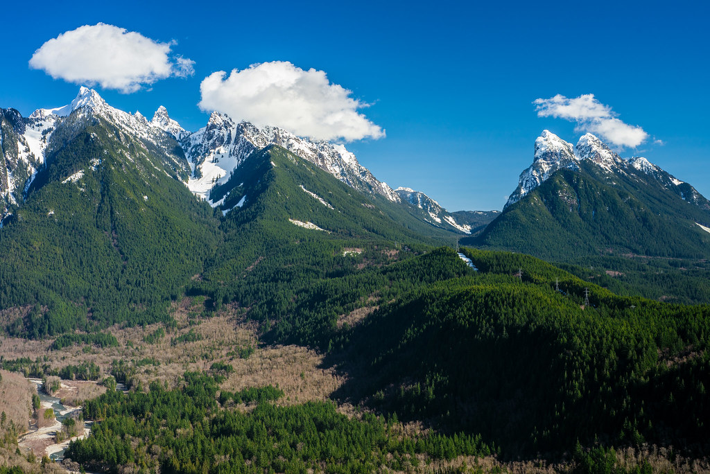
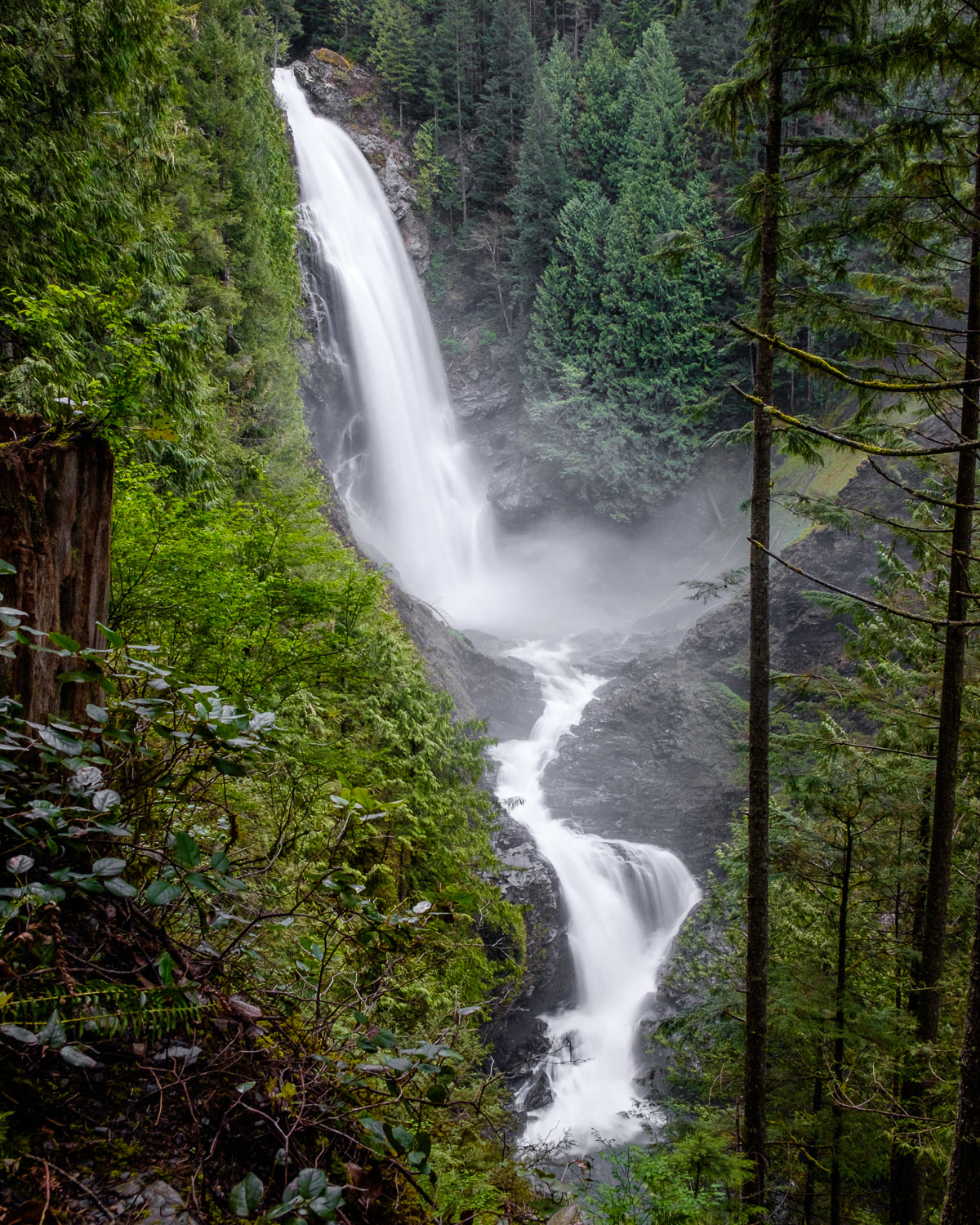
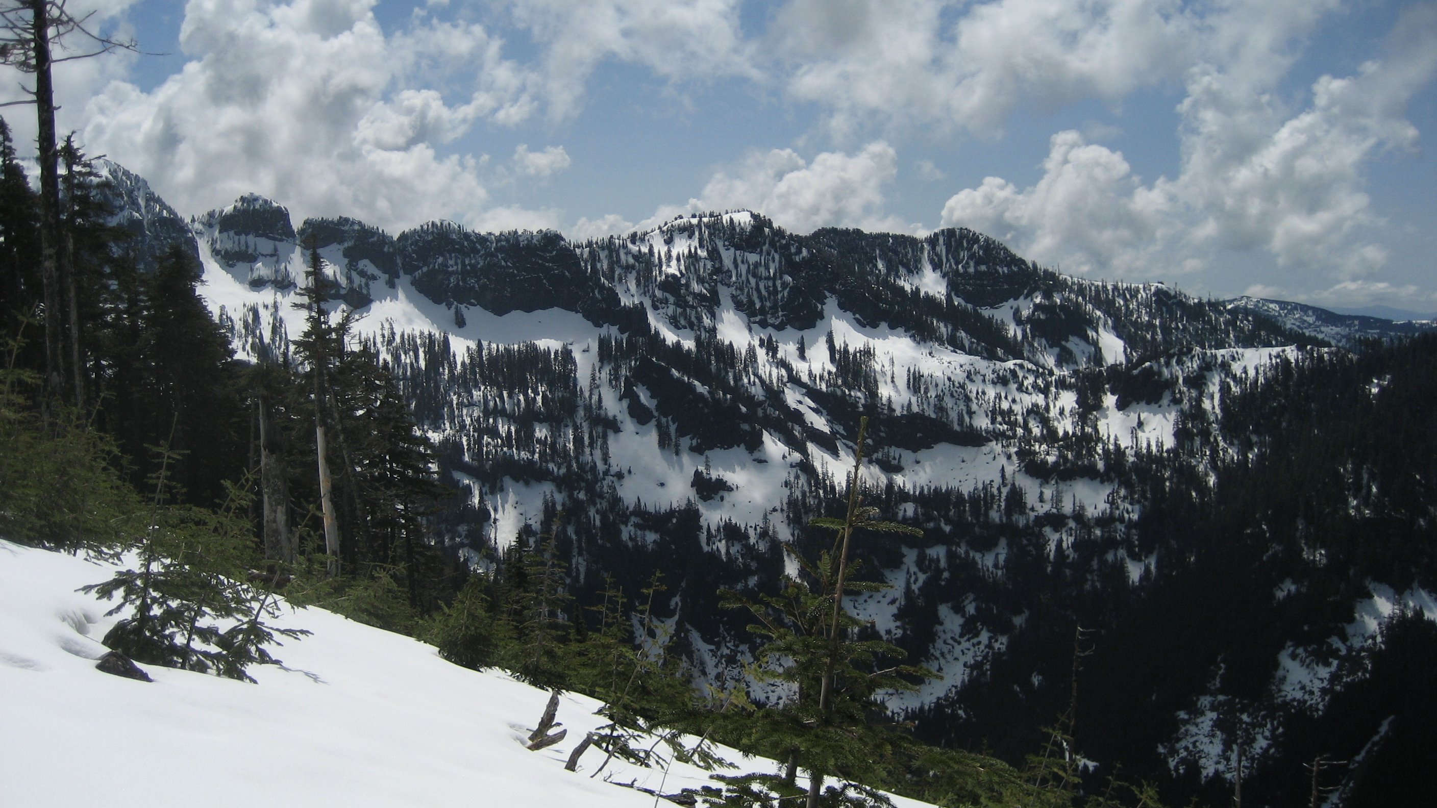
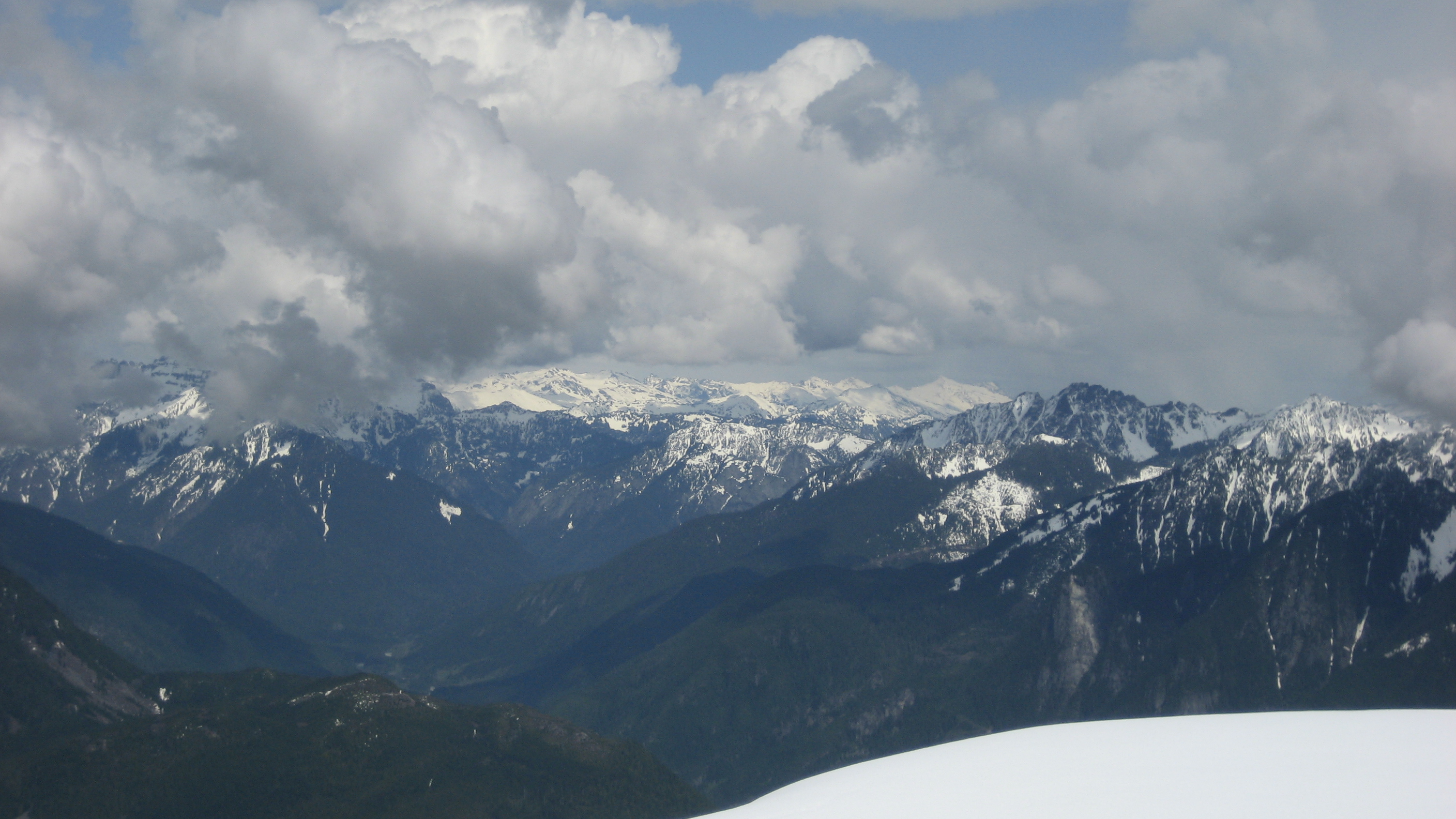
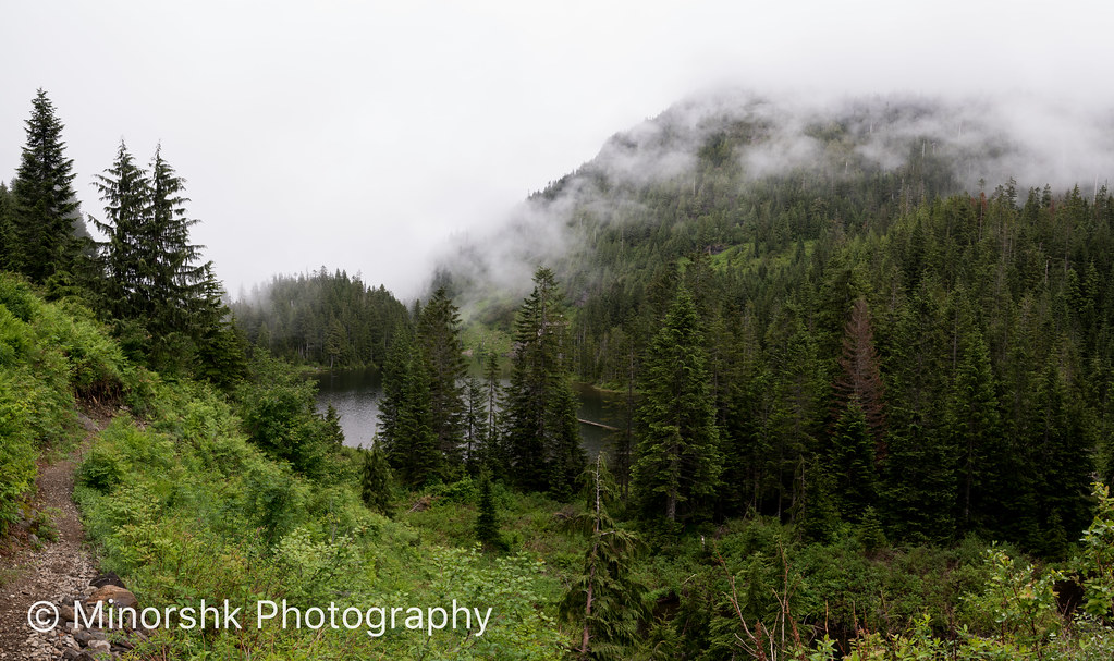
Related Photos:
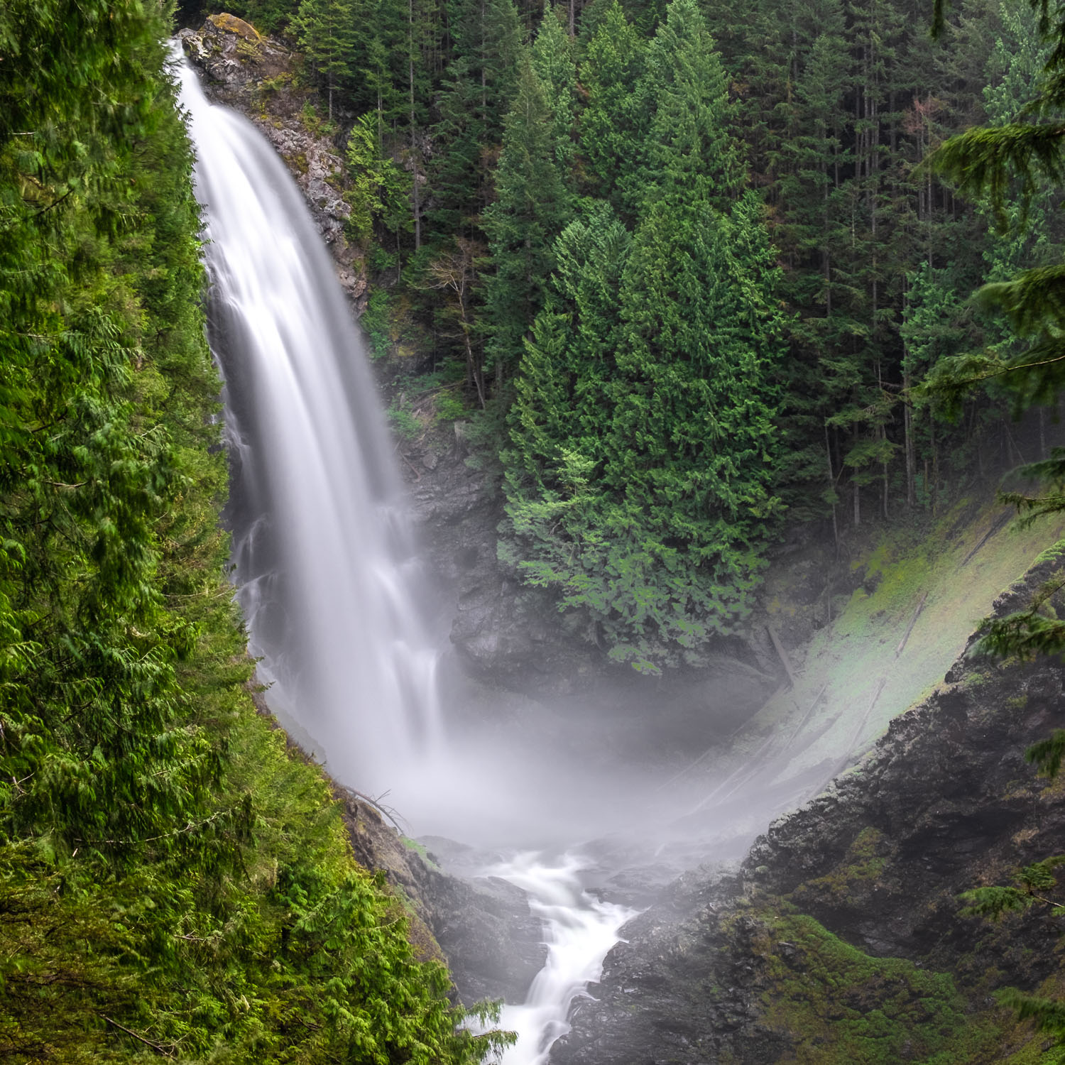
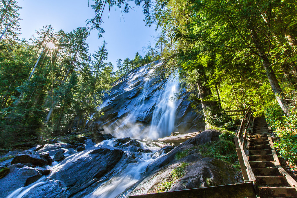
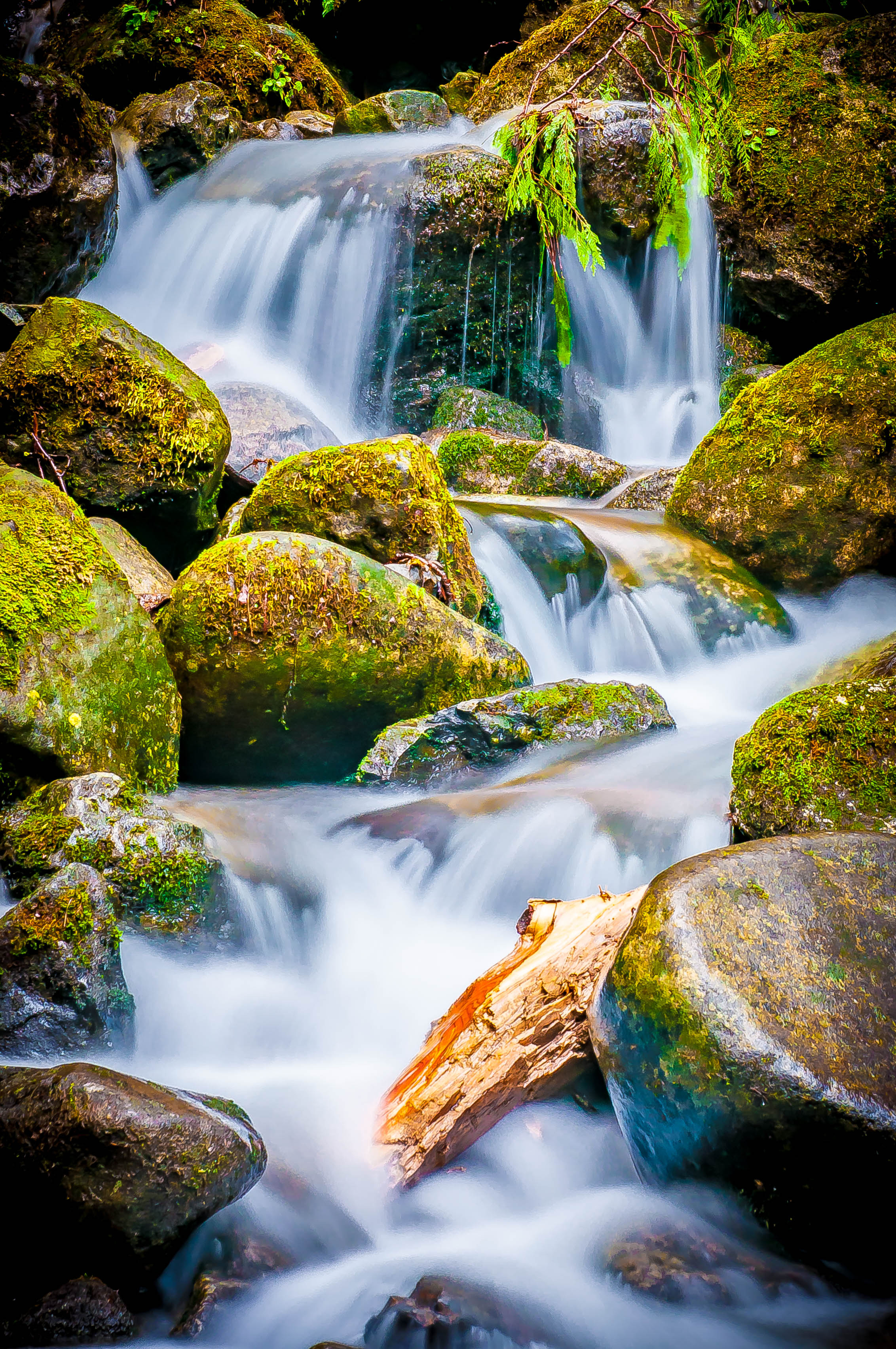
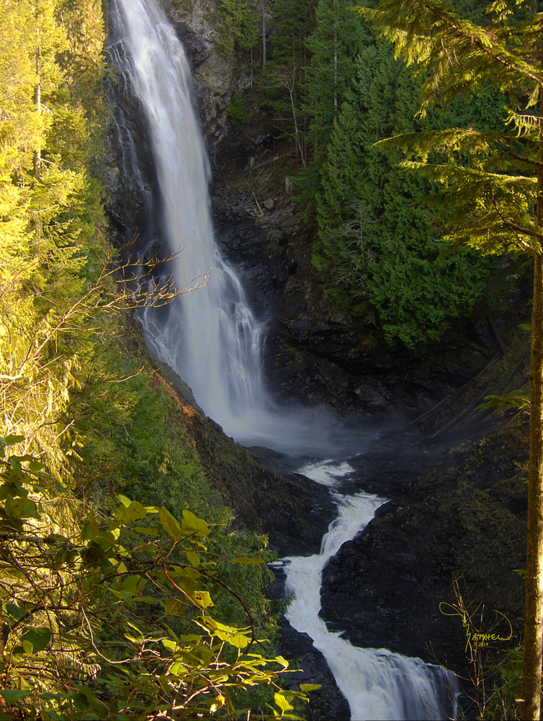
Wallace Falls
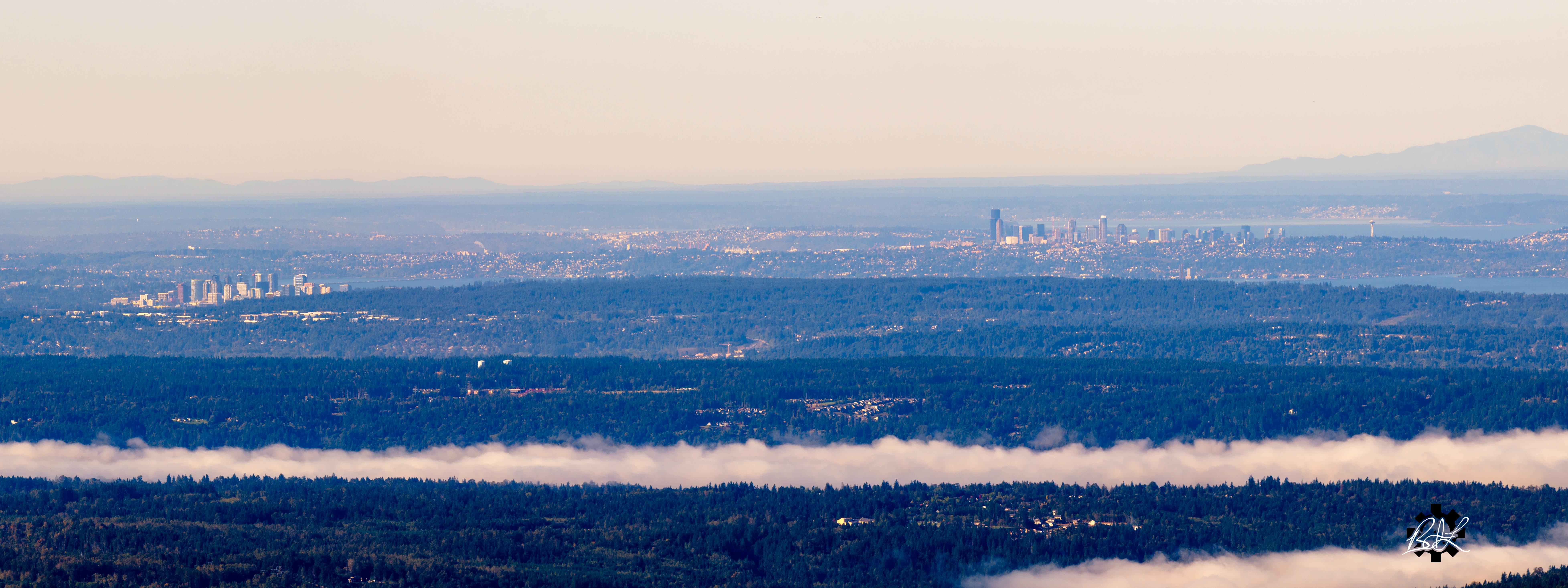
Urban Outlook
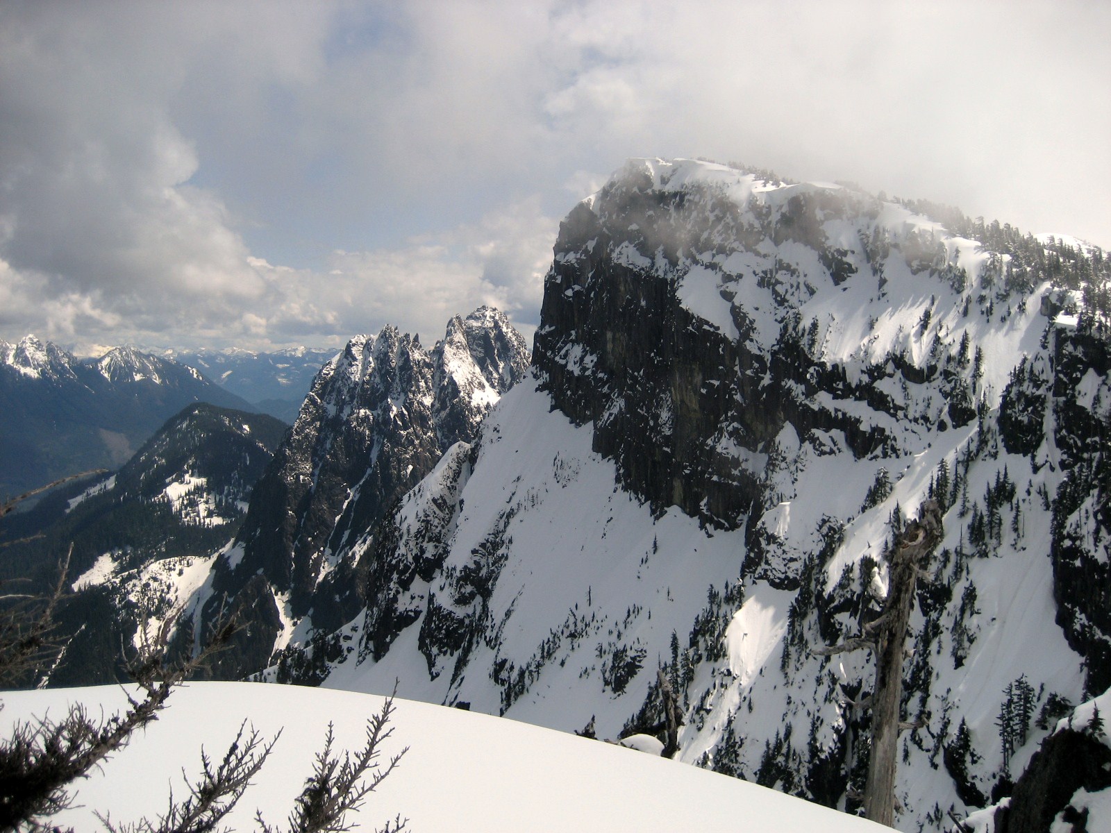
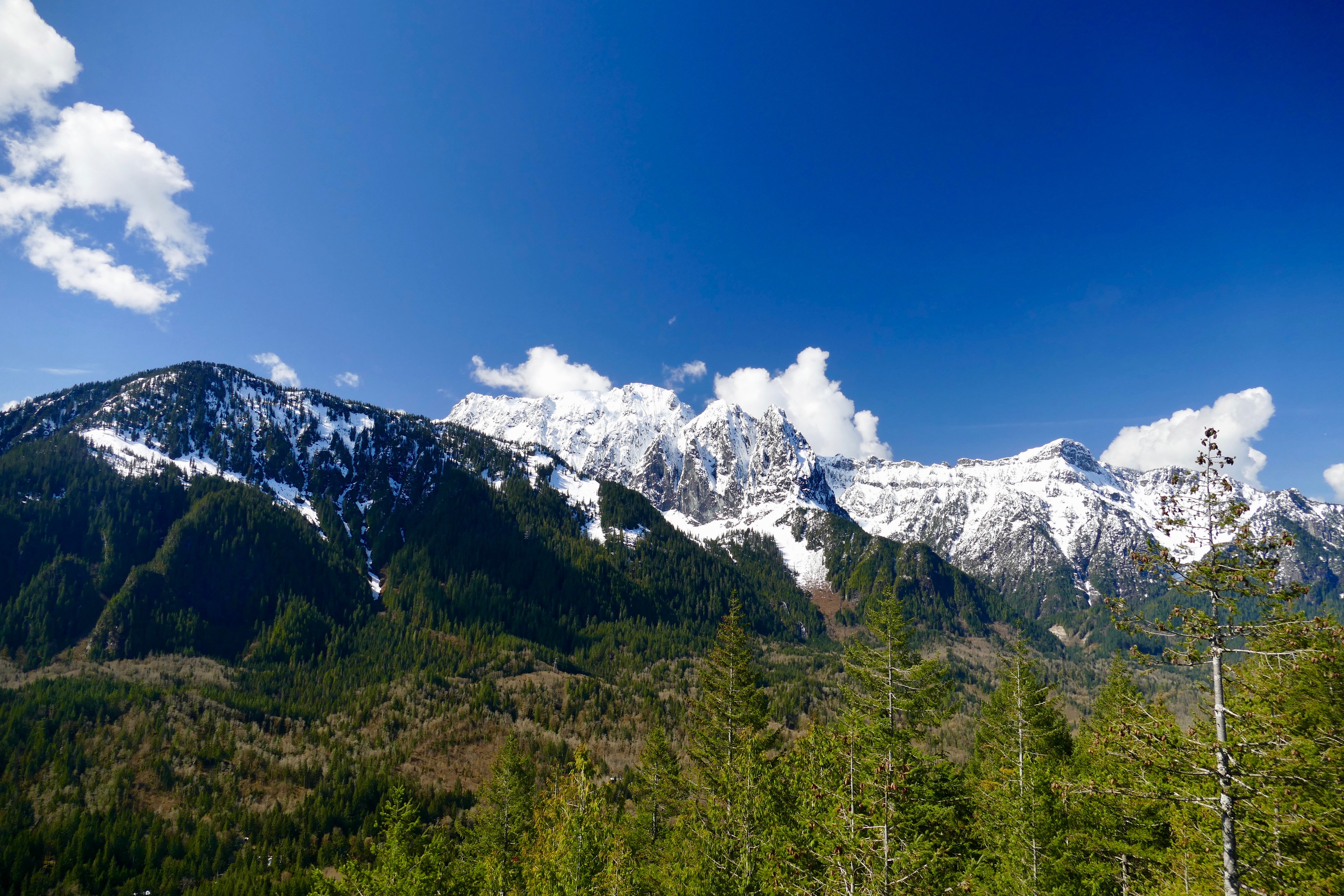
View from Little Persis
Amongst the trees
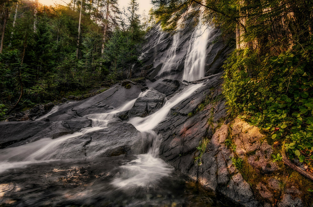
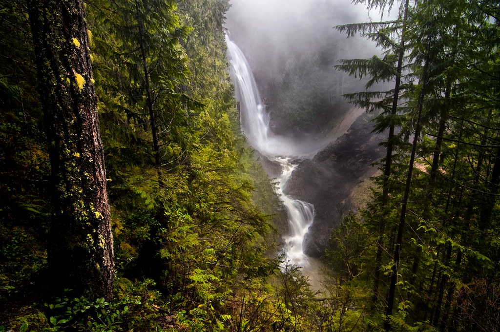
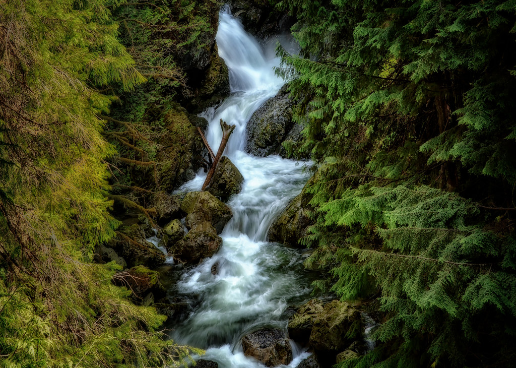
Early Morning Falls
View from Heybrook Lookout
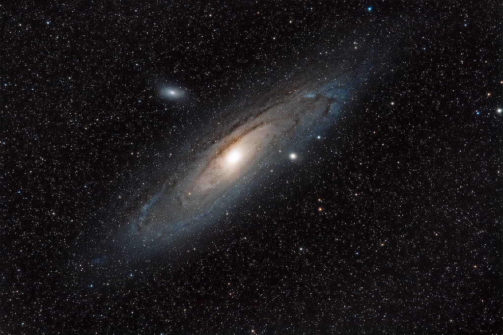
M31 - Andromeda Galaxy from Sultan Basin
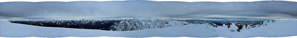
Panoramic view
Bridal Veil Falls and a View of a Mountainside

Wallace Falls, The Middle Falls
Wallace Falls
Views From The Wall
Wallace Falls

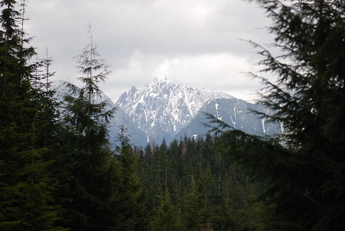
Mt Persis views (N)
View from the top
Pret-tay, pret-tay, pretty cool views out here.

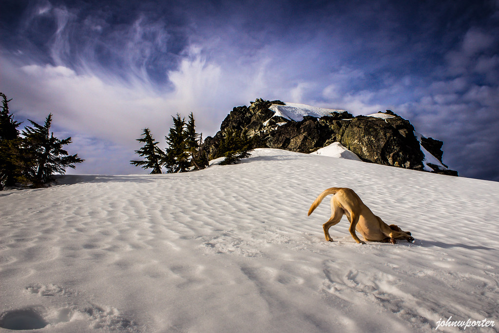
Freddie enjoys the view
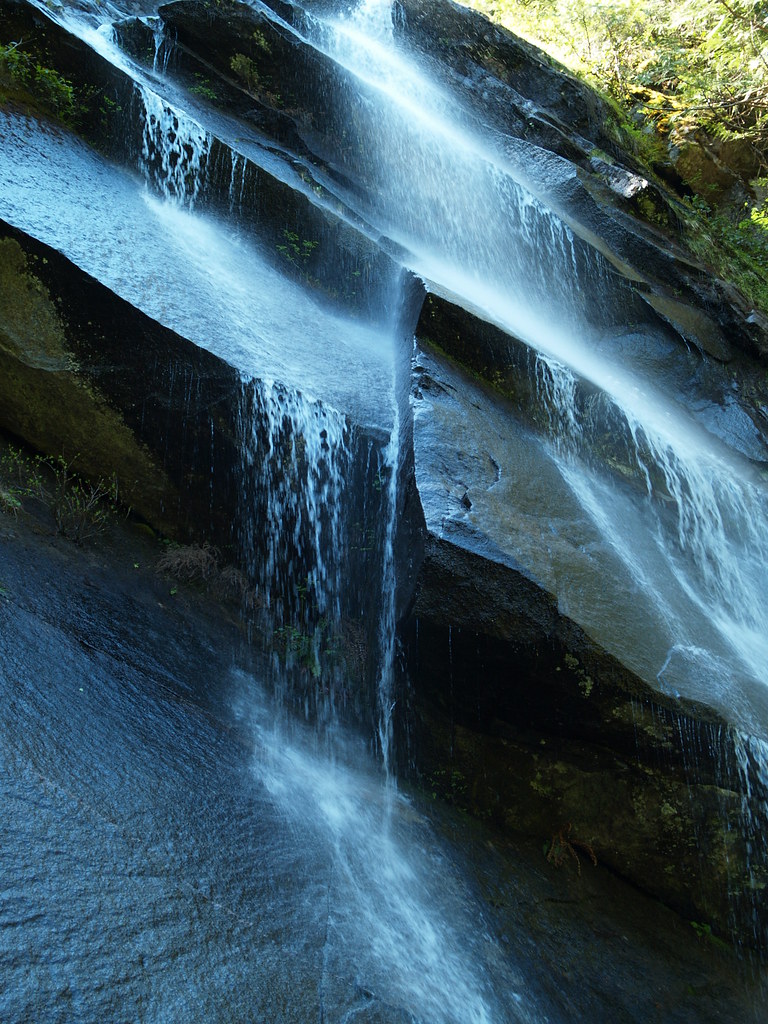
Bridal Veil Falls
LonelyMountain 1
Persindex butt
Mt Persis views

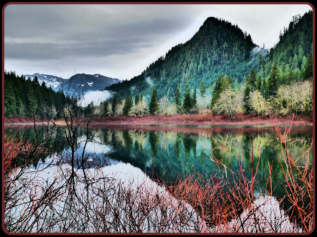
Sunset on the North Fork of the Skykomish River at Index, Washington

The Forest Road
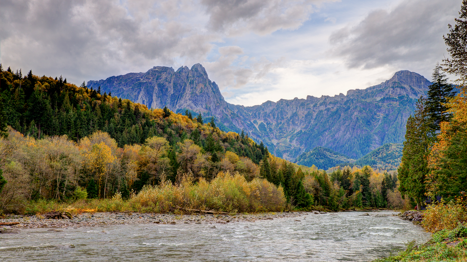
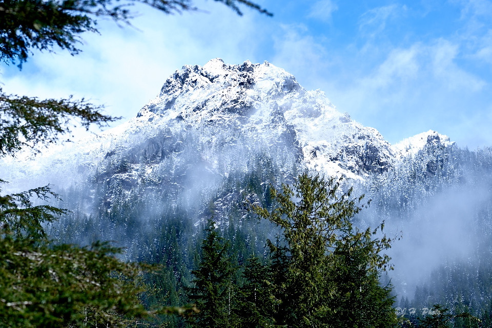
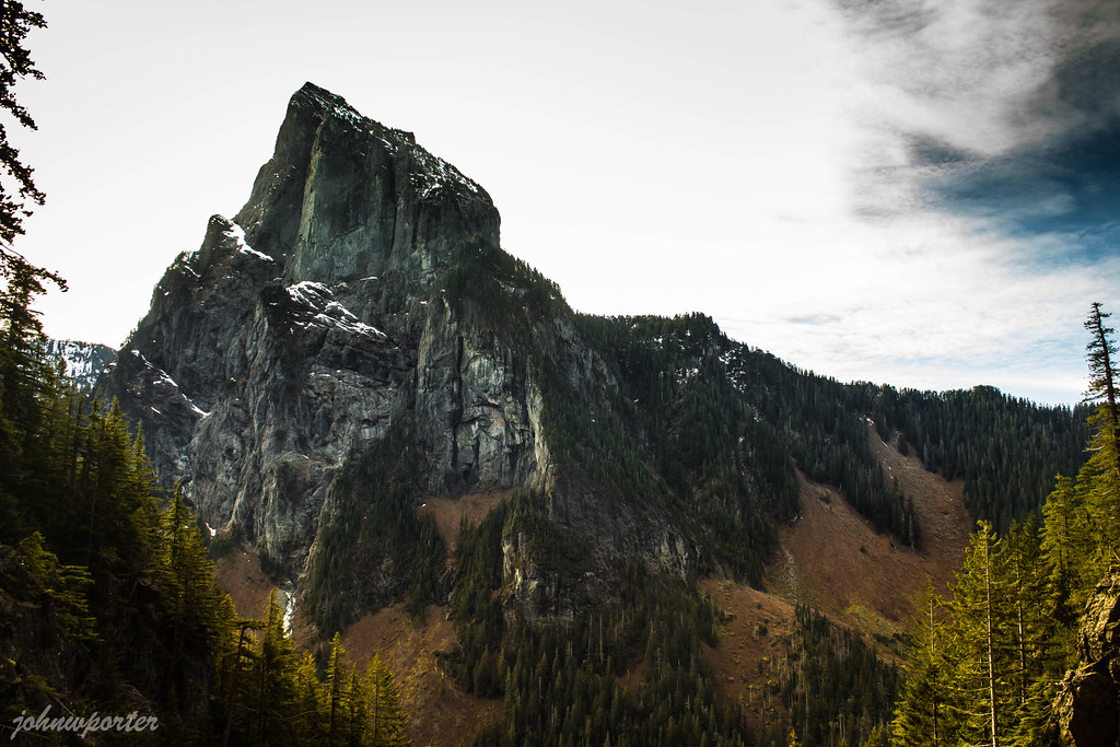
Mt. Index and Mt. Persis
untitled-0823-Pano.jpg

2017-06-04 16.07.16
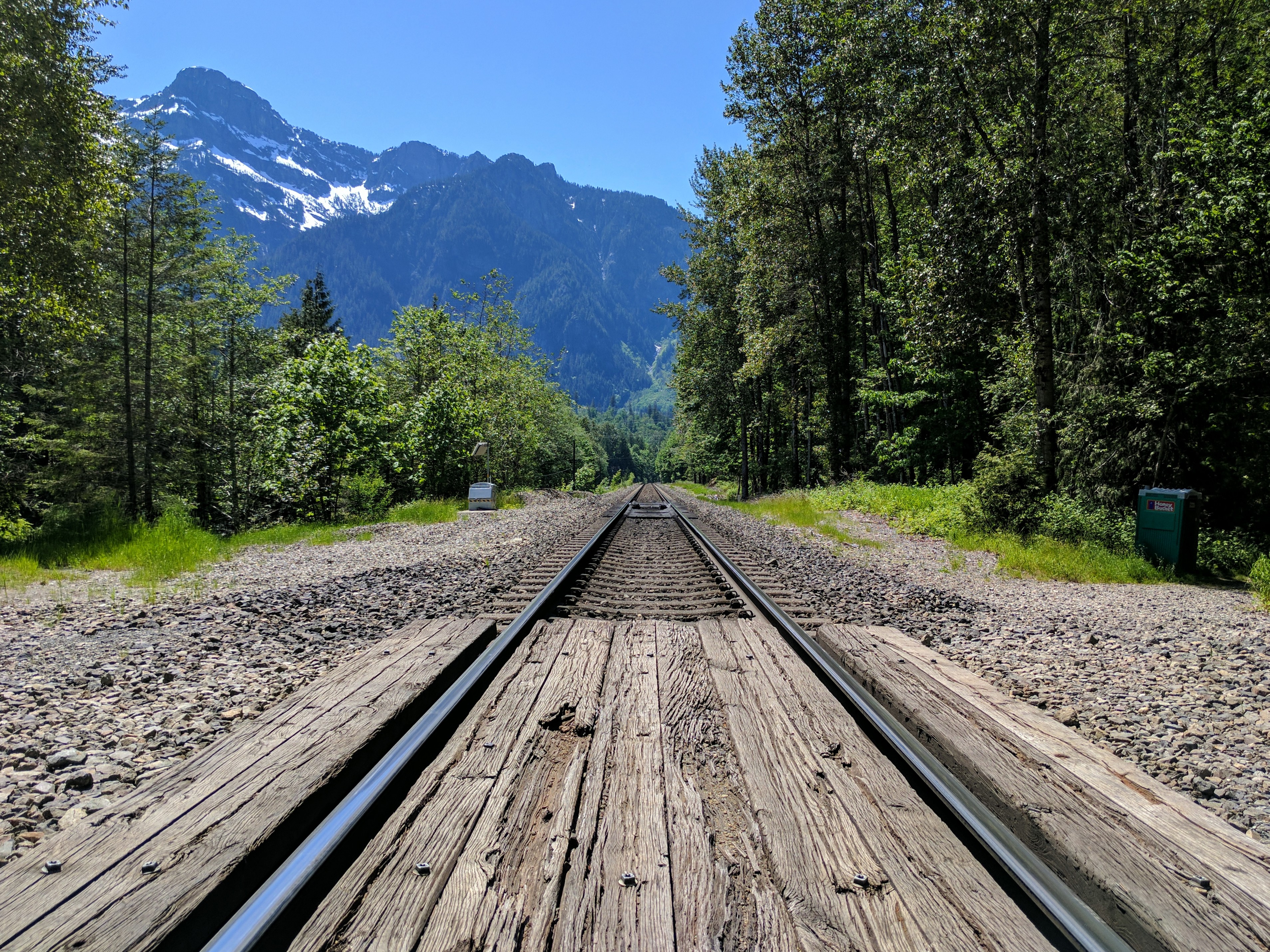
Train tracks in Index WA
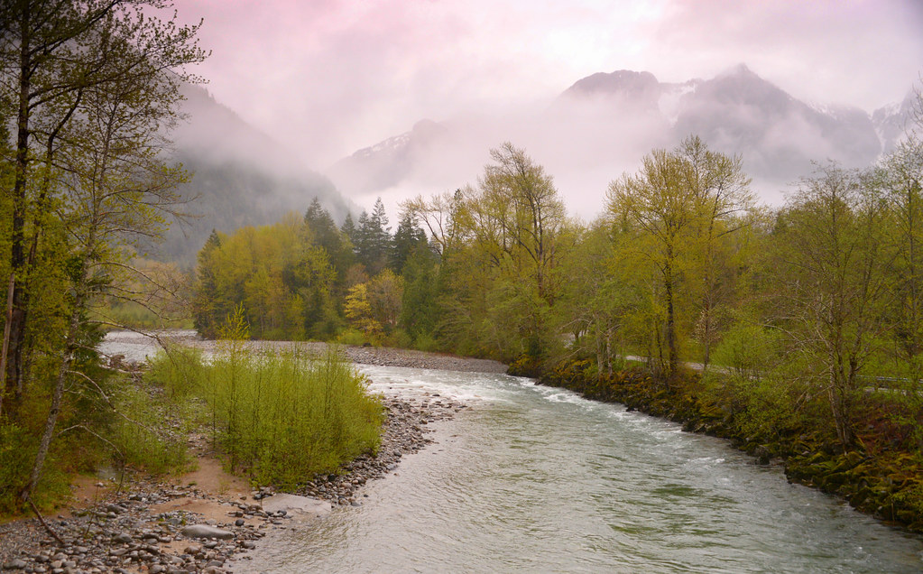
Wallace River

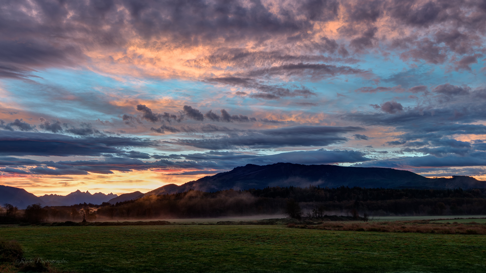
Sunset on the Skykomish River at Index, Washington
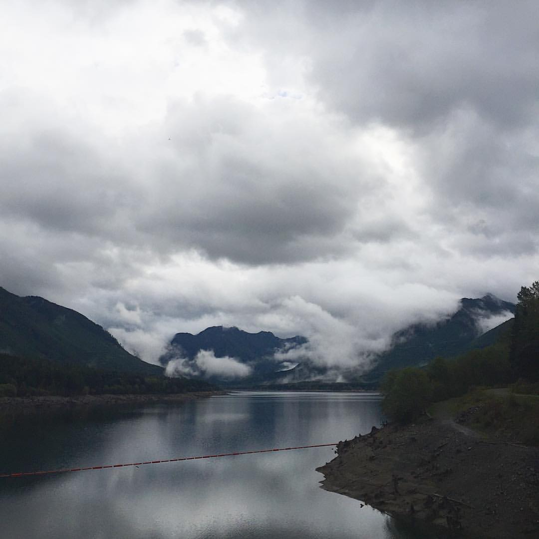
Litte Cavanaugh Lk
Lower Bridal Veil Falls (East)
Wallas Falls-15.jpg
Pre-summit dance
An hour late....
Sunset from Bridge over the north fork Skykomish River, Index, Washington
Wallace falls

Bridal Veil Falls, Mount Baker-Snoqualmie National Forest, Washington
North face / 北面
Topographic Map of Pine Rd, Gold Bar, WA, USA
Find elevation by address:

Places near Pine Rd, Gold Bar, WA, USA:
44713 Fir Rd
Reiter Road
42710 May Creek Rd
th Ave SE, Gold Bar, WA, USA
A Greener Today Marijuana - Gold Bar
41515 Larson Dr
254 Amanda Ave
41306 Ajer Dr
Ley Road
Gold Bar
301 1st Ave W
709 1st Ave W
Index
19529 River Pl
Startup
52104 Skyco Dr
15902 356th Ave Se
Sultan Basin Road
34423 Old Sultan-startup Rd
Culmback Dam
Recent Searches:
- Elevation of Sarangdanda, Nepal
- Elevation of 7 Waterfall Way, Tomball, TX, USA
- Elevation of SW 57th Ave, Portland, OR, USA
- Elevation of Crocker Dr, Vacaville, CA, USA
- Elevation of Pu Ngaol Community Meeting Hall, HWHM+3X7, Krong Saen Monourom, Cambodia
- Elevation of Royal Ontario Museum, Queens Park, Toronto, ON M5S 2C6, Canada
- Elevation of Groblershoop, South Africa
- Elevation of Power Generation Enterprises | Industrial Diesel Generators, Oak Ave, Canyon Country, CA, USA
- Elevation of Chesaw Rd, Oroville, WA, USA
- Elevation of N, Mt Pleasant, UT, USA