Elevation of Pine Lake, AB T0M 1S0, Canada
Location: Canada > Alberta >
Longitude: -113.48068
Latitude: 52.109713
Elevation: 912m / 2992feet
Barometric Pressure: 91KPa
Elevation Map:
Satellite Map:
Related Photos:

Morning Fog

Ahhhh Summer

Alberta, Canada

Life on the farm

Life on the farm

Life on the Farm

Life on the Farm

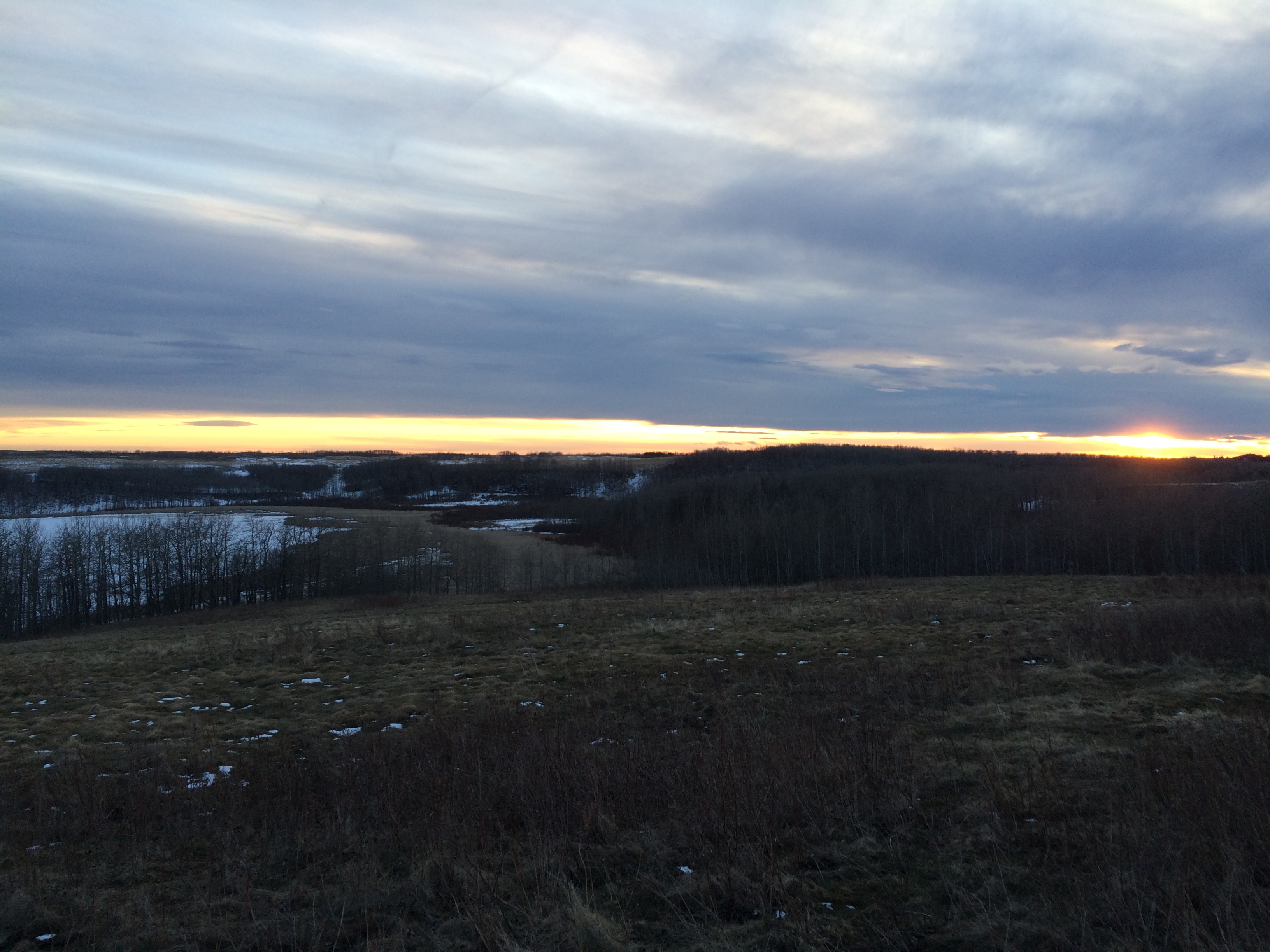
Some wonderful sunrises this week 16/3/365

First walkabout of 2015

Life on the farm
All most the last walkabout of March, quite the beautiful evening it was...

More walkabout pictures from February 2015

Life on the Farm

Last of February and first of March walkabouts...

Life on the farm

More spring walkabout pics

First walkabout of 2015

Life on the Farm

Life on the Farm

Break Up

Life on the Farm
Topographic Map of Pine Lake, AB T0M 1S0, Canada
Find elevation by address:

Places near Pine Lake, AB T0M 1S0, Canada:
Red Deer County
35 Thayer Cl
Thomlison Avenue
Mcdougall Crescent
Timberstone Park
209 Thompson Cres
189 Thompson Cres
Anders On The Lake
108 Archer Dr
51 Allison Crescent
Sunnybrook
Lacombe County
31 Selkirk Blvd
AB-2, Penhold, AB T0M 1R0, Canada
5325 42a Ave
Red Deer
Dreeshen Earl, Mp - Red Deer — Mountain View
Oxford Boulevard
Oxford Boulevard
113 White Ave
Recent Searches:
- Elevation of Unnamed Road, Respublika Severnaya Osetiya — Alaniya, Russia
- Elevation of Verkhny Fiagdon, North Ossetia–Alania Republic, Russia
- Elevation of F. Viola Hiway, San Rafael, Bulacan, Philippines
- Elevation of Herbage Dr, Gulfport, MS, USA
- Elevation of Lilac Cir, Haldimand, ON N3W 2G9, Canada
- Elevation of Harrod Branch Road, Harrod Branch Rd, Kentucky, USA
- Elevation of Wyndham Grand Barbados Sam Lords Castle All Inclusive Resort, End of Belair Road, Long Bay, Bridgetown Barbados
- Elevation of Iga Trl, Maggie Valley, NC, USA
- Elevation of N Co Rd 31D, Loveland, CO, USA
- Elevation of Lindever Ln, Palmetto, FL, USA