Elevation of Pine Hills Road, Pine Hills Rd, Wolf Lake, IL, USA

Location: United States > Illinois > Union County > Union Precinct > Wolf Lake >

Longitude: -89.433227

Latitude: 37.5777152

Elevation: -10000m / -32808feet

Barometric Pressure: 295KPa

Elevation Map:

elevation map of Pine Hills Road, Pine Hills Rd, Wolf Lake, IL, USA

Satellite Map:

Satellite map of Pine Hills Road, Pine Hills Rd, Wolf Lake, IL, USA

Related Photos:

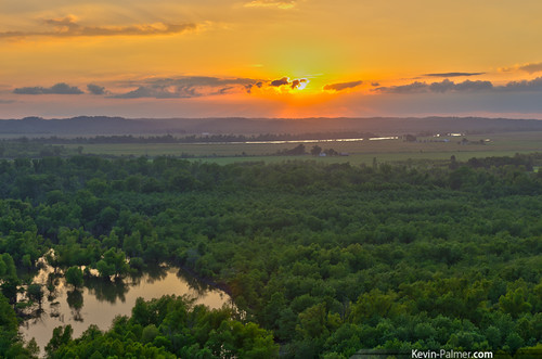
sunset summer orange yellow gold golden evening illinois july cliffs southern valley mississippiriver hdr shawneenationalforest kevinpalmer laruepinehills pentaxk5 samyang10mmf28
LaRue Pine Hills
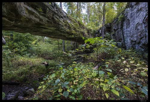
illinois nikon arch pomona d800 jacksoncounty sandstonebridge pomonanaturalbridge ©copyright
Pomona Natural Bridge - No. 3
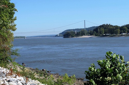
mississippiriver rivers grandtowerpipelinebridge bridges perrycountymo jacksoncountyill missouri illinois
Mississippi River, Perry County (Mo.), 8 September 2017
Bottom, Looking Up
sunset summer panorama evening illinois july panoramic cliffs southern valley shawneenationalforest kevinpalmer laruepinehills pentaxk5 samyang10mmf28
Inspiration Point
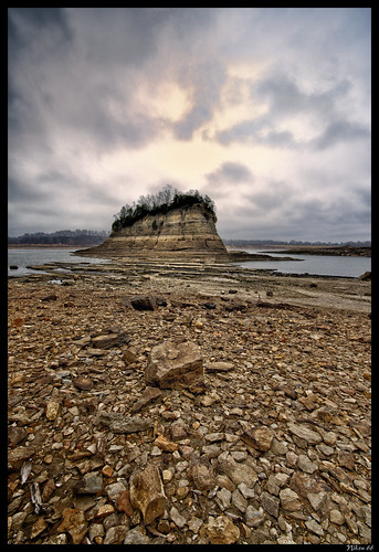
nikon missouri mississippiriver perrycounty d800 rockformation grandtower towerrock 1424mmf28nikkor ©copyright
Tower Rock - B&W Number 1
sunset summer orange yellow gold golden evening illinois july southern valley mississippiriver hdr shawneenationalforest kevinpalmer laruepinehills pentaxk5 samyang10mmf28 muddyleveeroad
Levee Road
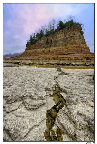
nikon missouri mississippiriver lewisandclark d800 grandtower towerrock platinumheartaward 1424mmf28nikkor ©copyright
Crack to Tower Rock
southernillinois vonjakob shawneewinetrail
Von Jakob: Vineyard
towerrock grandtower mississippiriver wittenberg perrycounty missouri nikon d800 sigma20mmartlens
Tower Rock - No. 2
nikon missouri mississippiriver perrycounty d800 rockformation grandtower towerrock 1424mmf28nikkor ©copyright
Tower Rock - Number One
trees vacation canyon
canyon view
illinois nikon arch pomona d800 jacksoncounty sandstonebridge pomonanaturalbridge ©copyright
Pomona Natural Bridge - No. 4
nikon missouri mississippiriver perrycounty d800 rockformation grandtower towerrock 1424mmf28nikkor ©copyright
Tower Rock - Number Three
park cliff forest illinois view pass shelter shawnee alto 2013
Shelter at Cliff View Park
island mississippiriver rockformation nationalhistoricsite grandtower towerrock
Tower Rock-A couple enjoys the view from the top of the Rock!
illinois ships missouri transportation rivers mississippiriver stateparks nativeamericanhistory
Missouri: Trail of Tears State Park
island mississippiriver rockformation nationalhistoricsite grandtower towerrock
Tower Rock-View Across to Grand Tower, IL
island mississippiriver rockformation nationalhistoricsite grandtower towerrock
Tower Rock-View Across to Grand Tower, IL
This Is No Colorado
Going Down
wolflake illinois unitedstates us
UP Train:MDUPB-22 Big Muddy River Bridge Halsey, Illinois
sky forest sunset orange horizon usa moody exposure point dramatic national august suset illinois eclipse solar inspiration multiple sparkle 360 21 surise total carbondale shawnee 2017
Emerging from Darkness
nature water river historic missouri mississippiriver perrycounty nationalregisterofhistoricplaces nrhp grandtower towerrock brazeautownship
Grand Tower
bridge river illinois missouri mississippiriver perrycounty brazeautownship
Mississippi River at Grand Tower
mississippi bicycling rivers
CR 535
square squareformat iphoneography instagramapp uploaded:by=instagram
More ice Alto Pass.
birds birding missouri applecreekconservationarea
Peep and Solitary Sandpiper
My Photo Stream-899
autumn sunset inspiration fall nature leaves pine forest river mississippi point landscape illinois conservation cliffs basin hills southern ill national swamps area bluffs shawnee ecological larue so
LaRue Pine Hills - "Inspiration Point"
My Photo Stream-896
sunset summer orange yellow gold golden evening illinois july southern missouri valley mississippiriver hdr shawneenationalforest kevinpalmer tamron1750mmf28 laruepinehills pentaxk5
Mississippi River Valley
Image 5
winter snow birding applecreekconservationarea
Apple Creek
square squareformat normal iphoneography instagramapp uploaded:by=instagram foursquare:venue=4c0426f03f03b71358185241
Little Grand Canyon (southern Illinois)
Fall Path
Fall Path
applecreekconservationarea
Apple Creek CA