Elevation of Pine Dr, Ferndale, WA, USA
Location: United States > Washington > Whatcom County > Ferndale >
Longitude: -122.61591
Latitude: 48.8620072
Elevation: 93m / 305feet
Barometric Pressure: 100KPa
Elevation Map:
Satellite Map:
Related Photos:

Break in a Rainy Day Allowed a View of Mt Baker from Pioneer Park While Walking My Dog in Ferndale, WA, USA-11a

Bellingham Bay

Clouds Over Bellingham Bay, Washington, Spring 2017
Sunrise over coast of Washington State-4

Little House in the Woods

View of Mt Baker from Pioneer Park While Walking My Dog in Ferndale, WA, USA-10a

Between the clouds over coast of Washington State-18

Aerial View of Orcas Island

Sunrise over coast of Washington State-1

Sony a99ii test-10 Ferndale WA sunset

Vent on me. It's okay.

Interior View of ex Milwaukee "Union Grove" passenger car

P-51D Val-Halla on the Charge...

SR 548 Roundabout - Aerial

SR 548 Roundabout - Aerial

Between the clouds over coast of Washington State-19
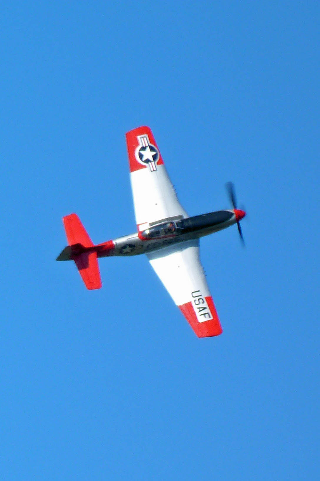
Val Halla almost on edge at 10/2011 HFM Fly Day

Sunrise over coast of Washington State-3

Field - Farm - Sky

Drayton Harbor Sunset Panorama

Red River Red Barn

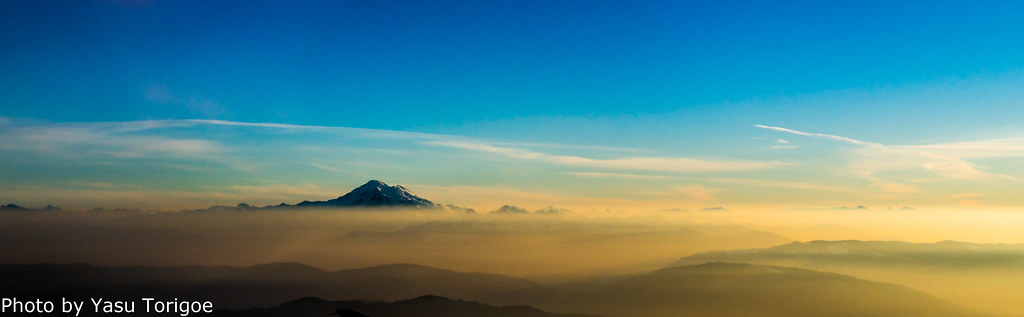
Mount Baker

My tidewater town

Lynden Skies in May.

Concrete Factory (61 of 129)

Concrete Factory (106 of 129)And4more_tonemapped

The Coastal Range

Lummi Island Spring Celebration

Concrete Factory (88 of 129)

Concrete Factory (121 of 129)

Concrete Factory (113 of 129)

Concrete Factory (33 of 129)

Concrete Factory (49 of 129)

untitled-52_3_4_5_6

Concrete Factory (82 of 129)
Topographic Map of Pine Dr, Ferndale, WA, USA
Find elevation by address:

Places near Pine Dr, Ferndale, WA, USA:
3051 Pine Dr
2490 Pine Dr
2544 Sievers Way
6121 Zeus Pl
2526 Lakeridge Dr
5939 Pacific Heights Dr
6126 Della Dr
6219 Parkland Way
2660 Thornton Rd
5911 Artist Dr
6218 Argyle St
2377 Main St
5634 Ariel Ct
5660 Applewood Dr
2491 Stratus Pl
2086 Willow Ct
5602 Correll Dr
5654 Correll Ct
5558 2nd Ave
Historic Downtown Ferndale
Recent Searches:
- Elevation of Elwyn Dr, Roanoke Rapids, NC, USA
- Elevation of Congressional Dr, Stevensville, MD, USA
- Elevation of Bellview Rd, McLean, VA, USA
- Elevation of Stage Island Rd, Chatham, MA, USA
- Elevation of Shibuya Scramble Crossing, 21 Udagawacho, Shibuya City, Tokyo -, Japan
- Elevation of Jadagoniai, Kaunas District Municipality, Lithuania
- Elevation of Pagonija rock, Kranto 7-oji g. 8"N, Kaunas, Lithuania
- Elevation of Co Rd 87, Jamestown, CO, USA
- Elevation of Tenjo, Cundinamarca, Colombia
- Elevation of Côte-des-Neiges, Montreal, QC H4A 3J6, Canada