Elevation of Pillcopata, Peru
Location: Peru > Cusco >
Longitude: -71.404093
Latitude: -12.910147
Elevation: 527m / 1729feet
Barometric Pressure: 95KPa
Elevation Map:
Satellite Map:
Related Photos:
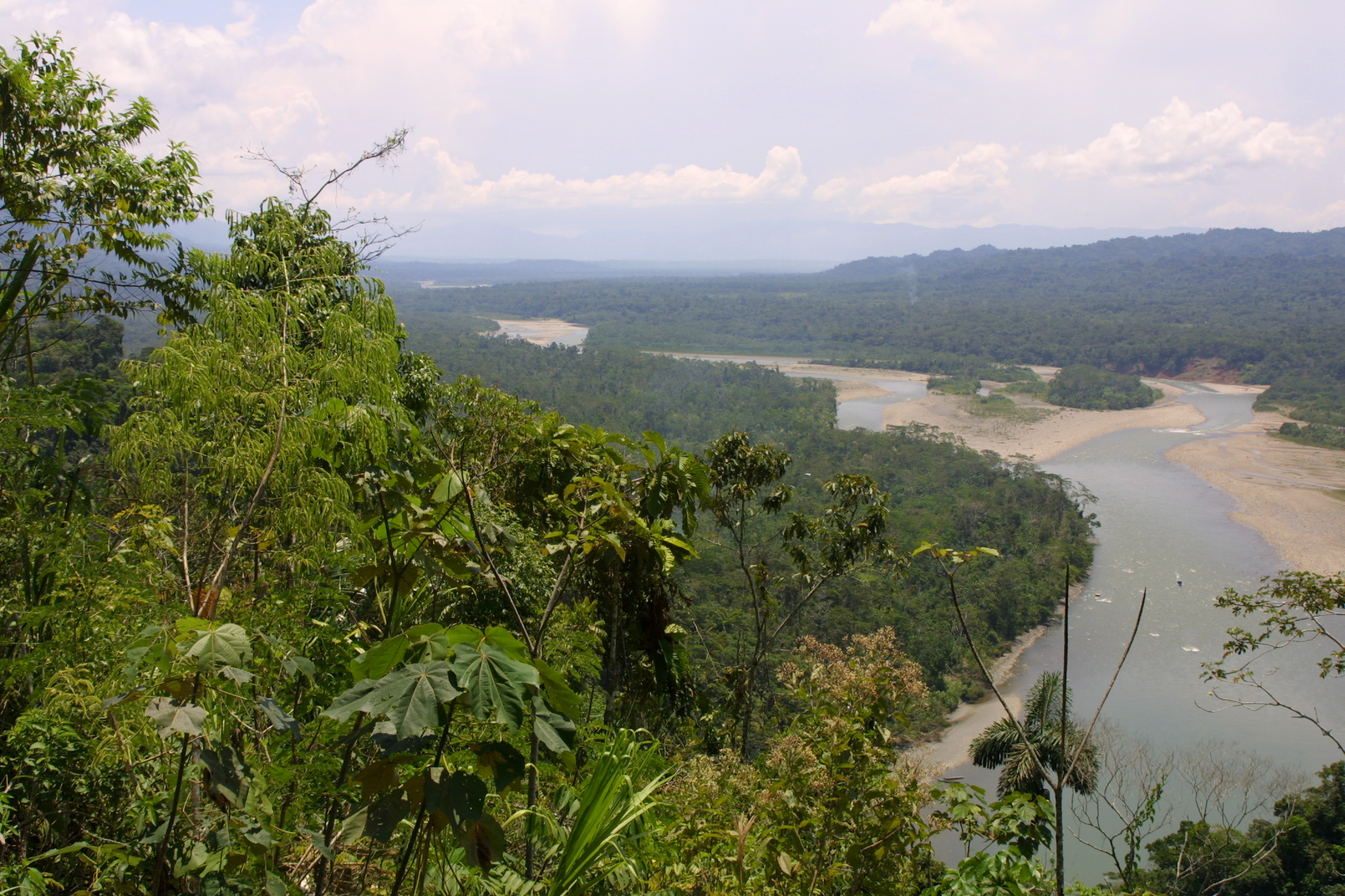
river views near Amazonia Lodge, SE Peru, 2002-09-16-3.jpg
river views near Amazonia Lodge, SE Peru, 2002-09-16-2.jpg
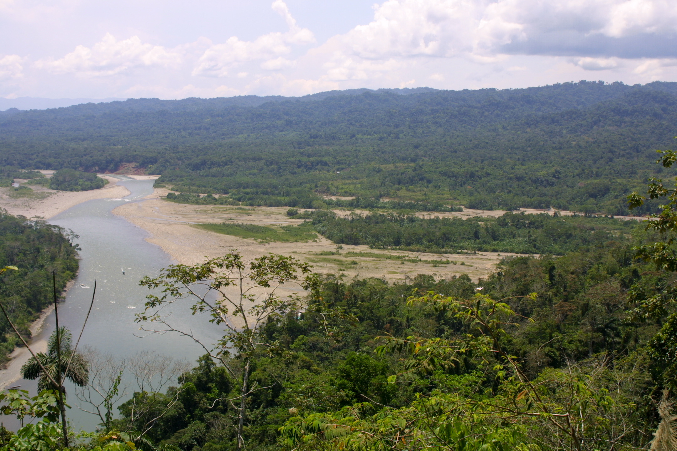
View From Above Atalaya
Manu National Park
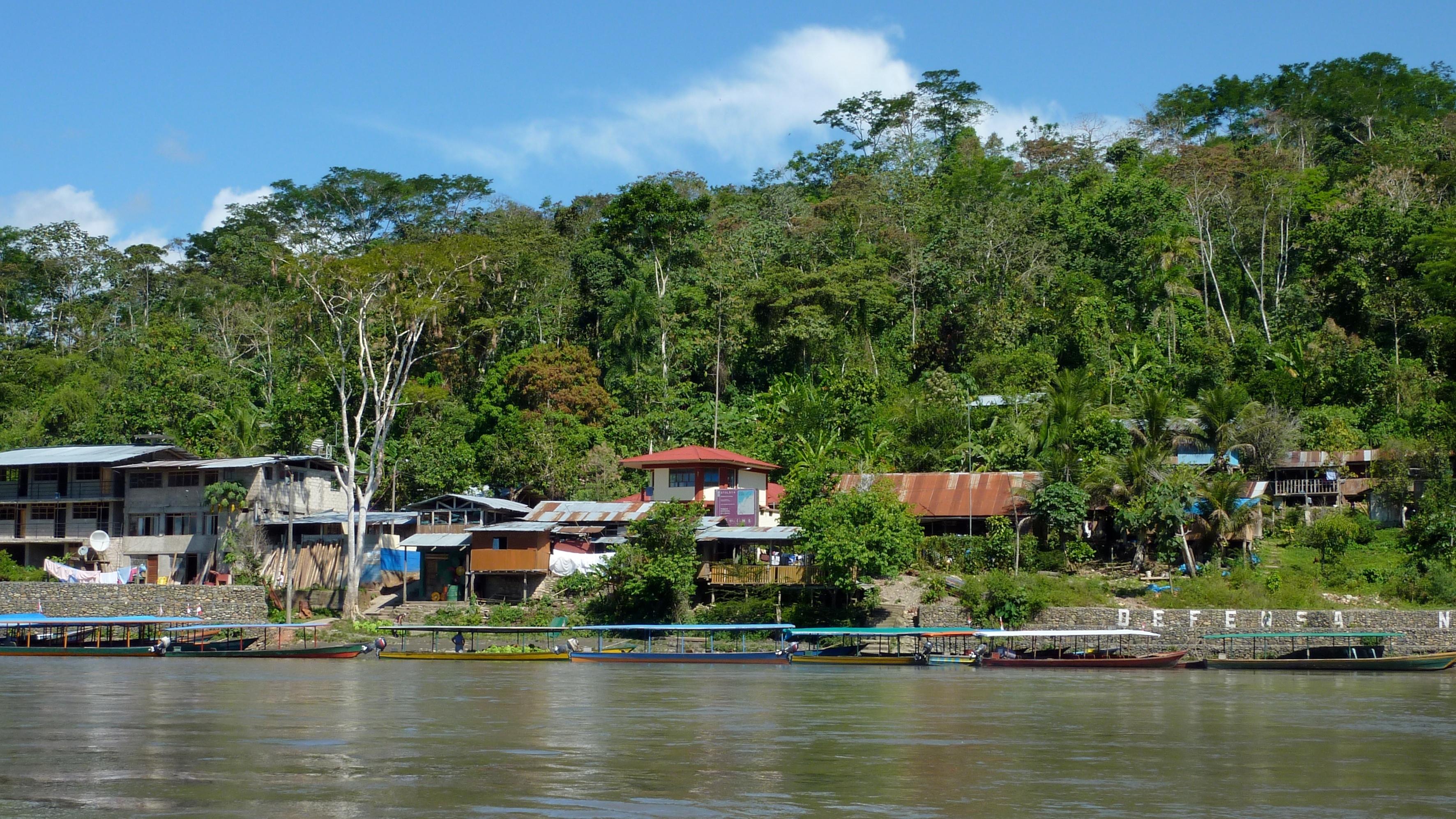
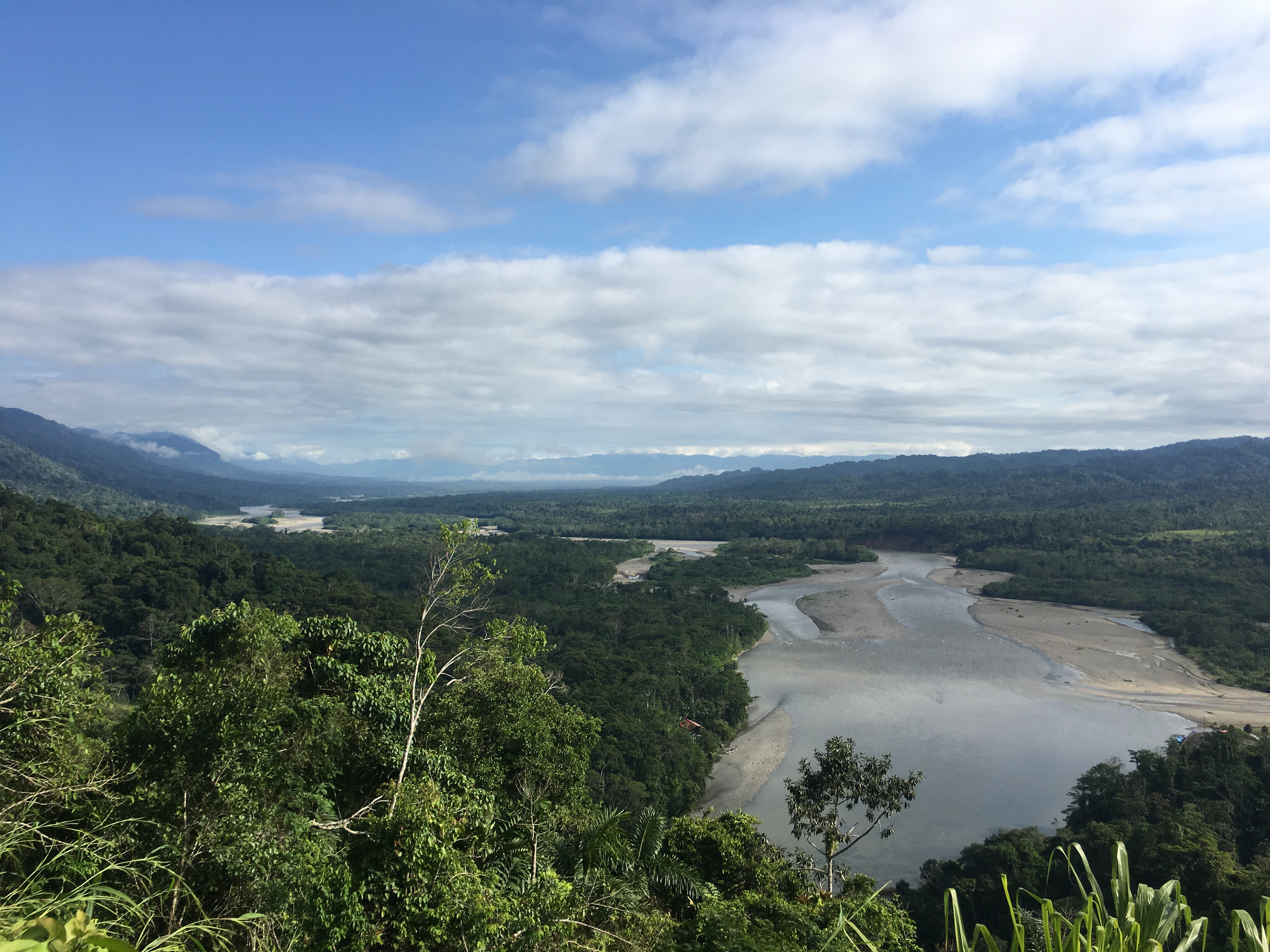
Atalaya- Río Alto Madre de Dios, Peru
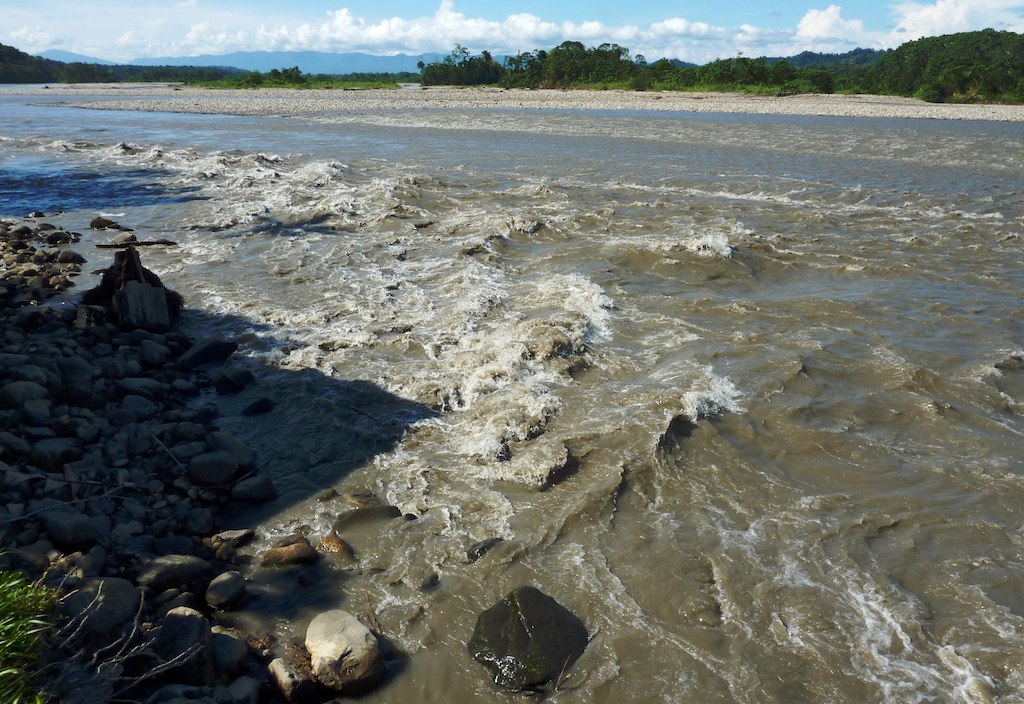
Río Madre de Dios- Peru
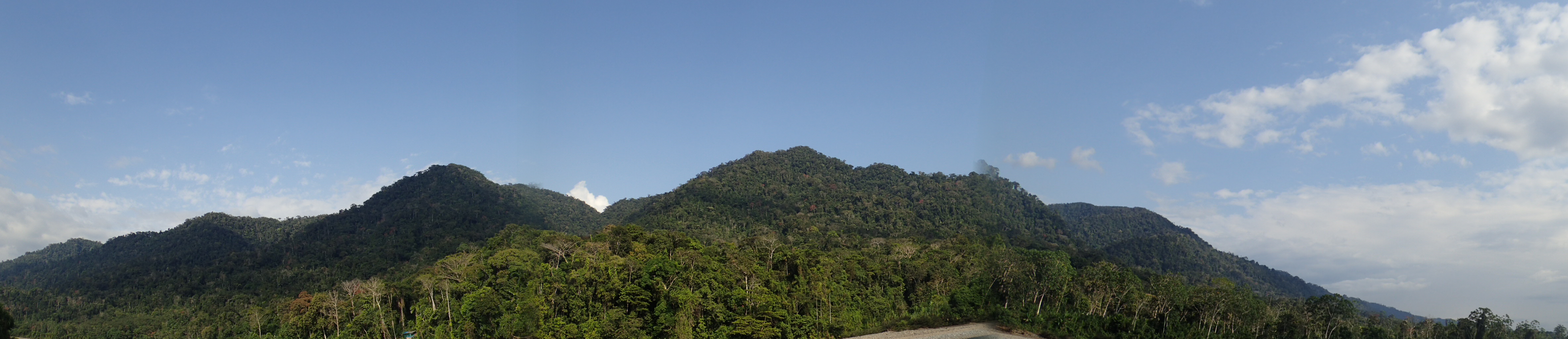
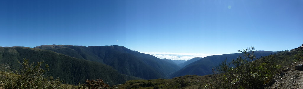
Pini Pini Ridge
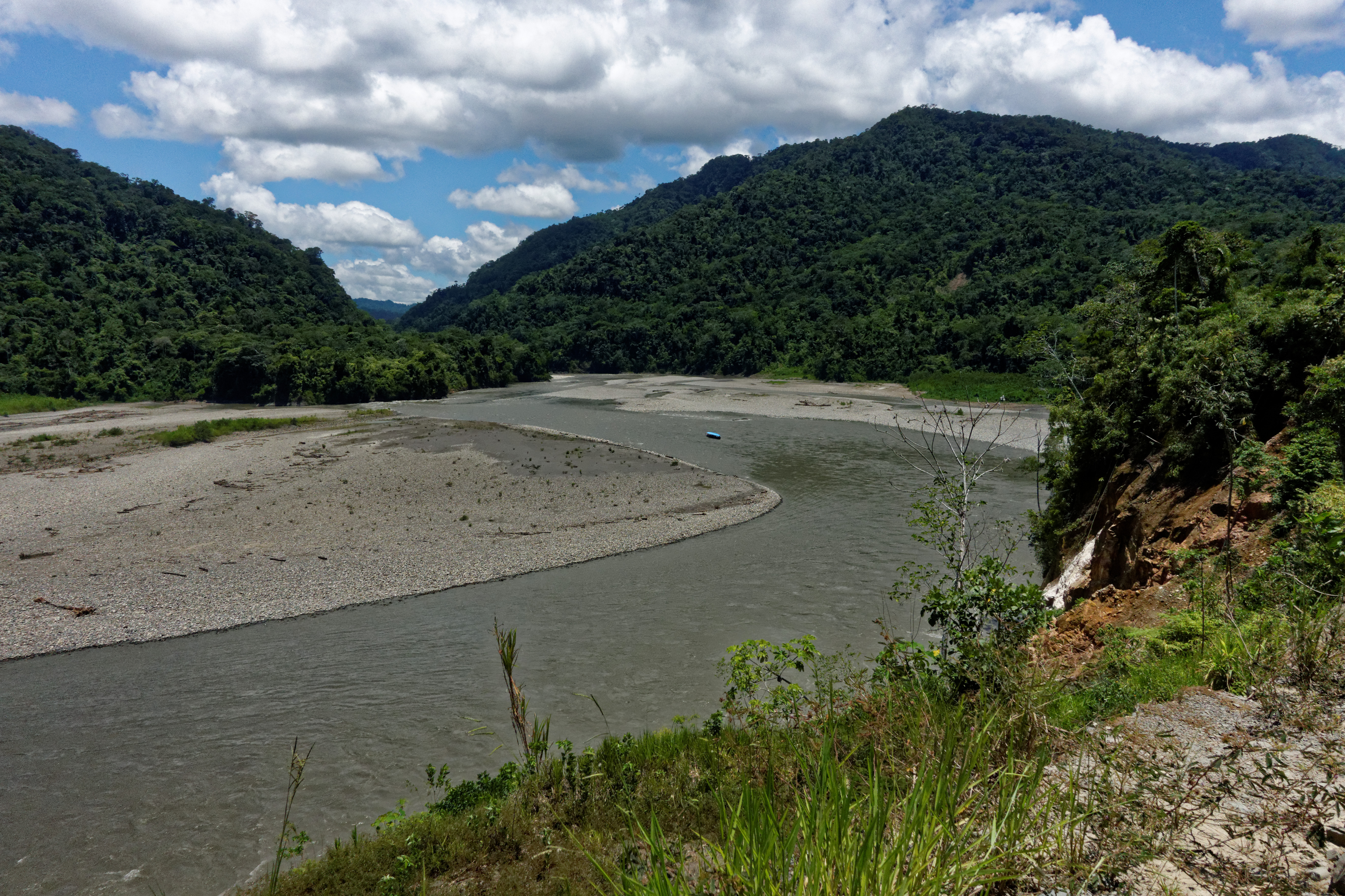
Cock-of-the-rock Lodge to Atalaya

tangara ruficervix
Topographic Map of Pillcopata, Peru
Find elevation by address:

Places near Pillcopata, Peru:
Quince Mil
Quispicanchi Province
Marcapata District
Andahuaylillas
Aguas Termales Pacchanta
Pacchanta Hostal
Pajchanta
Nevado Auzangate
Rainbow Mountain
Vinicunca Rainbow Mountain
Cusco
Manú Province
Mazuco
Chiforongo
Cordillera Arcoiris De Pallcoyo
Carretera Interoceanica, Peru
Carretera Interoceanica, Peru
Recent Searches:
- Elevation of Leguwa, Nepal
- Elevation of County Rd, Enterprise, AL, USA
- Elevation of Kolchuginsky District, Vladimir Oblast, Russia
- Elevation of Shustino, Vladimir Oblast, Russia
- Elevation of Lampiasi St, Sarasota, FL, USA
- Elevation of Elwyn Dr, Roanoke Rapids, NC, USA
- Elevation of Congressional Dr, Stevensville, MD, USA
- Elevation of Bellview Rd, McLean, VA, USA
- Elevation of Stage Island Rd, Chatham, MA, USA
- Elevation of Shibuya Scramble Crossing, 21 Udagawacho, Shibuya City, Tokyo -, Japan