Elevation of Pierrefitte, France
Location: France > Aquitaine Limousin Poitou-charentes > Deux-sevres >
Longitude: -0.299846
Latitude: 46.8703999
Elevation: 139m / 456feet
Barometric Pressure: 100KPa
Elevation Map:
Satellite Map:
Related Photos:
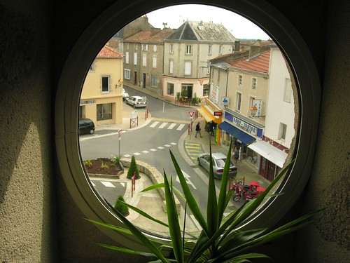
Bressuire, view from the library to the 5th May place.
Enlarge for best reading !
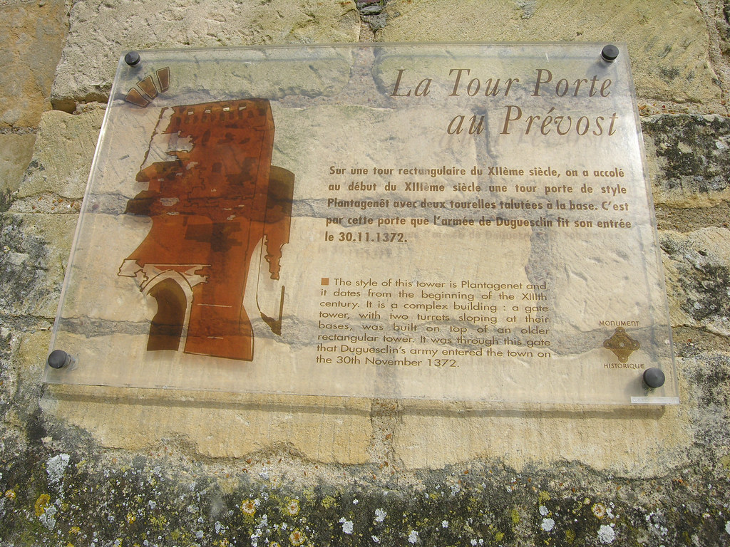
P1000846 - Environ de Thouars
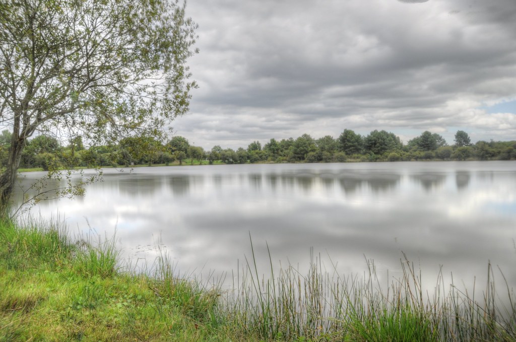
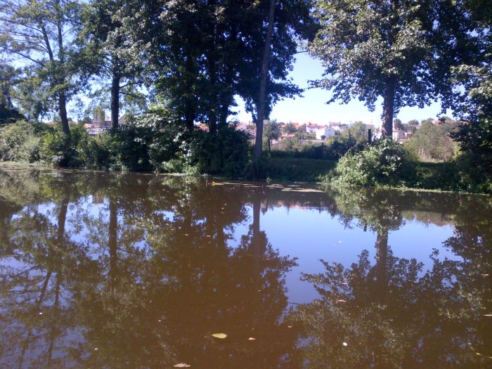
beaux reflets!
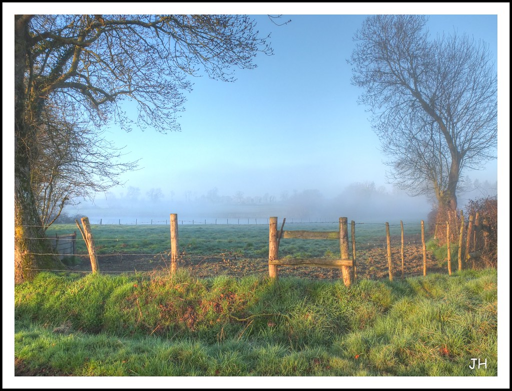
Matin brumeux (1)
Etang de l'Hôpiteau (1)
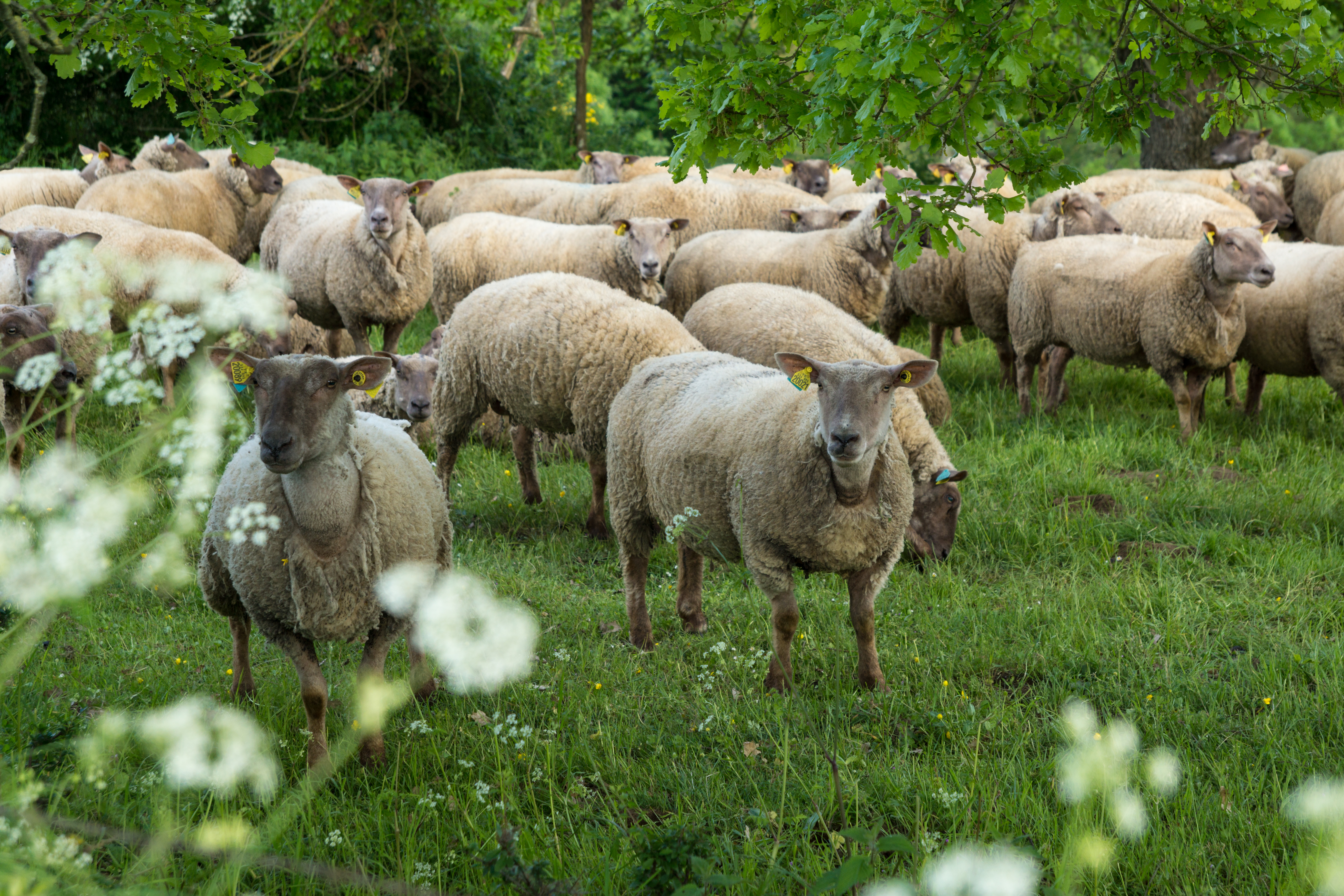
Mhééééé c'est qui ce photographe?
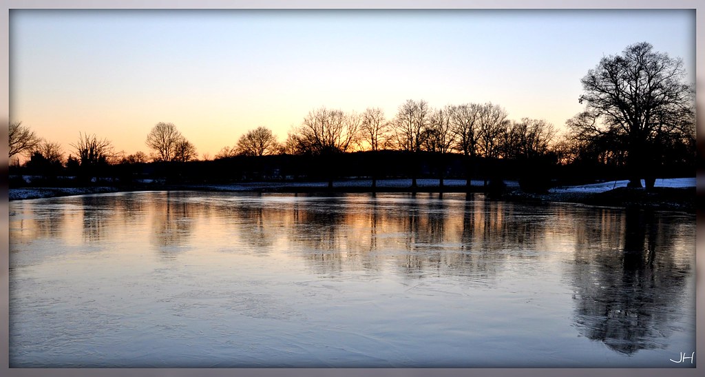
Reflets glacés..
Trompe souris

2010_06_12_Balade macro du matin
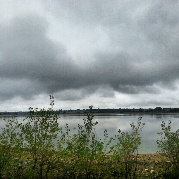
Lac du cédron #igersniort #lac #igersfrance
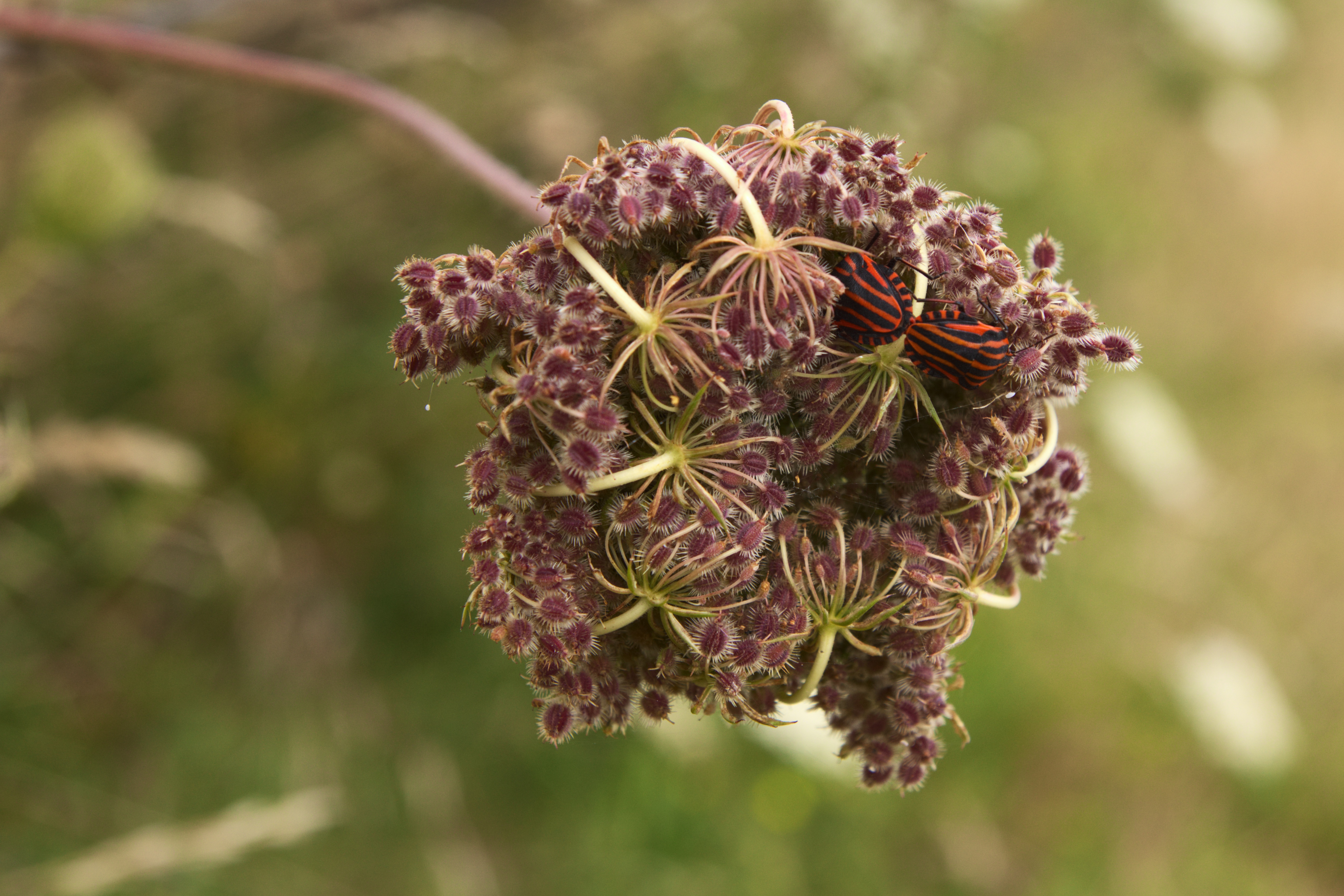
punaises Arlequin
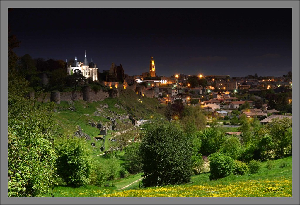
nuit tombante

2010_06_12_Balade macro du matin
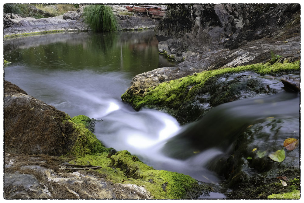
cascade du pressoir2
Where the wind is blowing… (part 1)

Airvault - Pont du Vernay
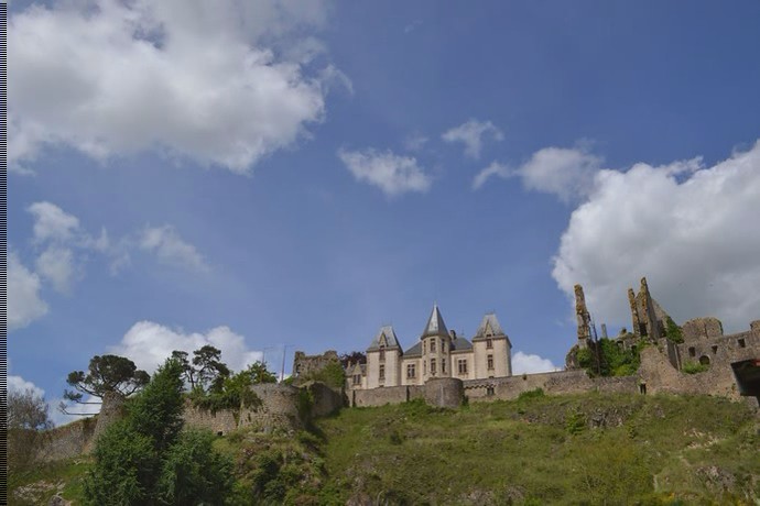
Carrière de Ligron_Sainte-Radegonde_Deux-Sèvres_France

Papilio machaon
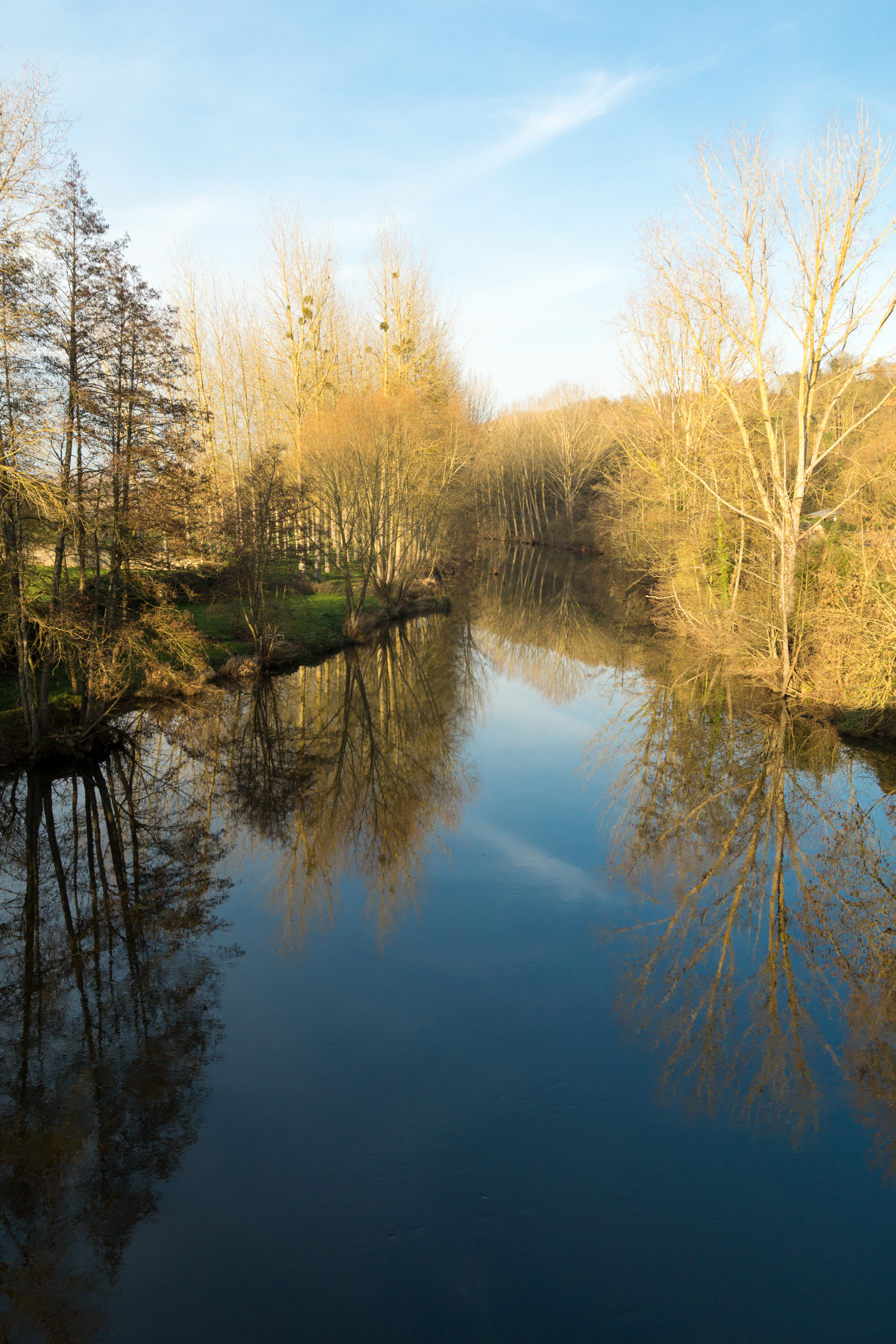
Thouet : Balade au bord du Thouet
Thouet : Balade au bord du Thouet
beau temps Image To Video
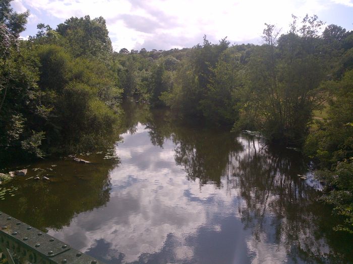
Thouet : Balade au bord du Thouet
Topographic Map of Pierrefitte, France
Find elevation by address:

Places in Pierrefitte, France:
Places near Pierrefitte, France:
1 La Proutière, Sainte-Gemme, France
4 Arbec, Pierrefitte, France
1 La Chopiniere, Pierrefitte, France
Sainte-gemme
Luché-thouarsais
3 D, Faye-l'Abbesse, France
8 Le Breuil, Luché-Thouarsais, France
Faye-l'abbesse
1 La Thibaudiere, La Chapelle-Gaudin, France
15 Rue des Acacias Rigné Ruault, Mauzé-Thouarsais, France
La Chapelle-gaudin
Mauzé-thouarsais
6 L'Orluere, Moutiers-Sous-Argenton, France
1 La Rousselière, La Chapelle-Gaudin, France
Moutiers-sous-argenton
Sainte-radegonde
12 Rue des Colombiers, Sainte-Radegonde, France
20 Quartier de la Tonnellé Saint-Sauveur, Bressuire, France
Bouillé-saint-paul
2 Rue de l'Église, Bouillé-Saint-Paul, France
Recent Searches:
- Elevation of Crocker Dr, Vacaville, CA, USA
- Elevation of Pu Ngaol Community Meeting Hall, HWHM+3X7, Krong Saen Monourom, Cambodia
- Elevation of Royal Ontario Museum, Queens Park, Toronto, ON M5S 2C6, Canada
- Elevation of Groblershoop, South Africa
- Elevation of Power Generation Enterprises | Industrial Diesel Generators, Oak Ave, Canyon Country, CA, USA
- Elevation of Chesaw Rd, Oroville, WA, USA
- Elevation of N, Mt Pleasant, UT, USA
- Elevation of 6 Rue Jules Ferry, Beausoleil, France
- Elevation of Sattva Horizon, 4JC6+G9P, Vinayak Nagar, Kattigenahalli, Bengaluru, Karnataka, India
- Elevation of Great Brook Sports, Gold Star Hwy, Groton, CT, USA