Elevation of Pierce Rd, Red Oak, TX, USA
Location: United States > Texas > Ellis County > Red Oak >
Longitude: -96.772424
Latitude: 32.5169806
Elevation: 177m / 581feet
Barometric Pressure: 99KPa
Elevation Map:
Satellite Map:
Related Photos:
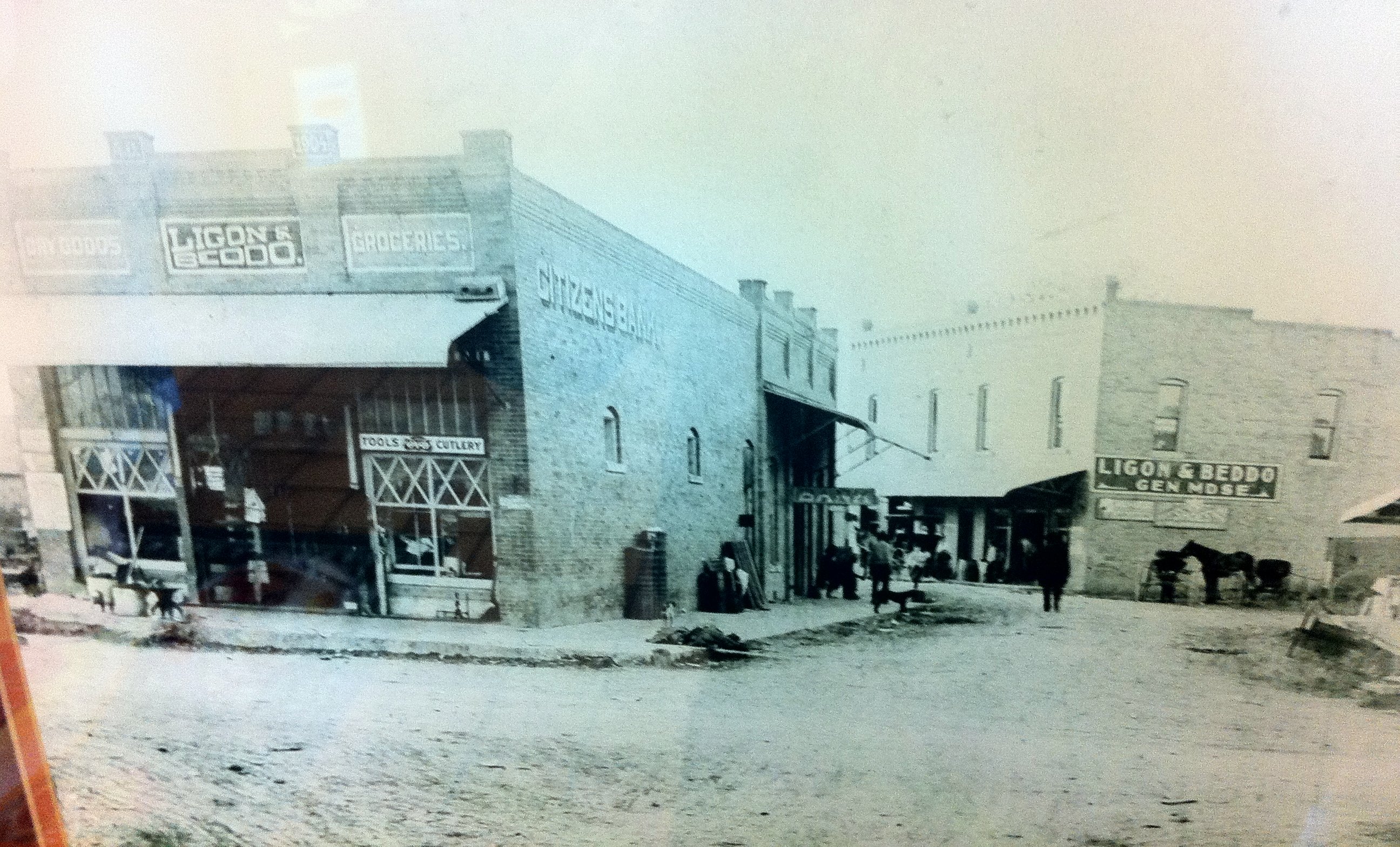
Ligon & Hamm Grocery, Hardware & Undertaking, downtown Red Oak, Texas, still standing in 2011

Angel of Grief (Chambers)

capital mod

View of the Backyard

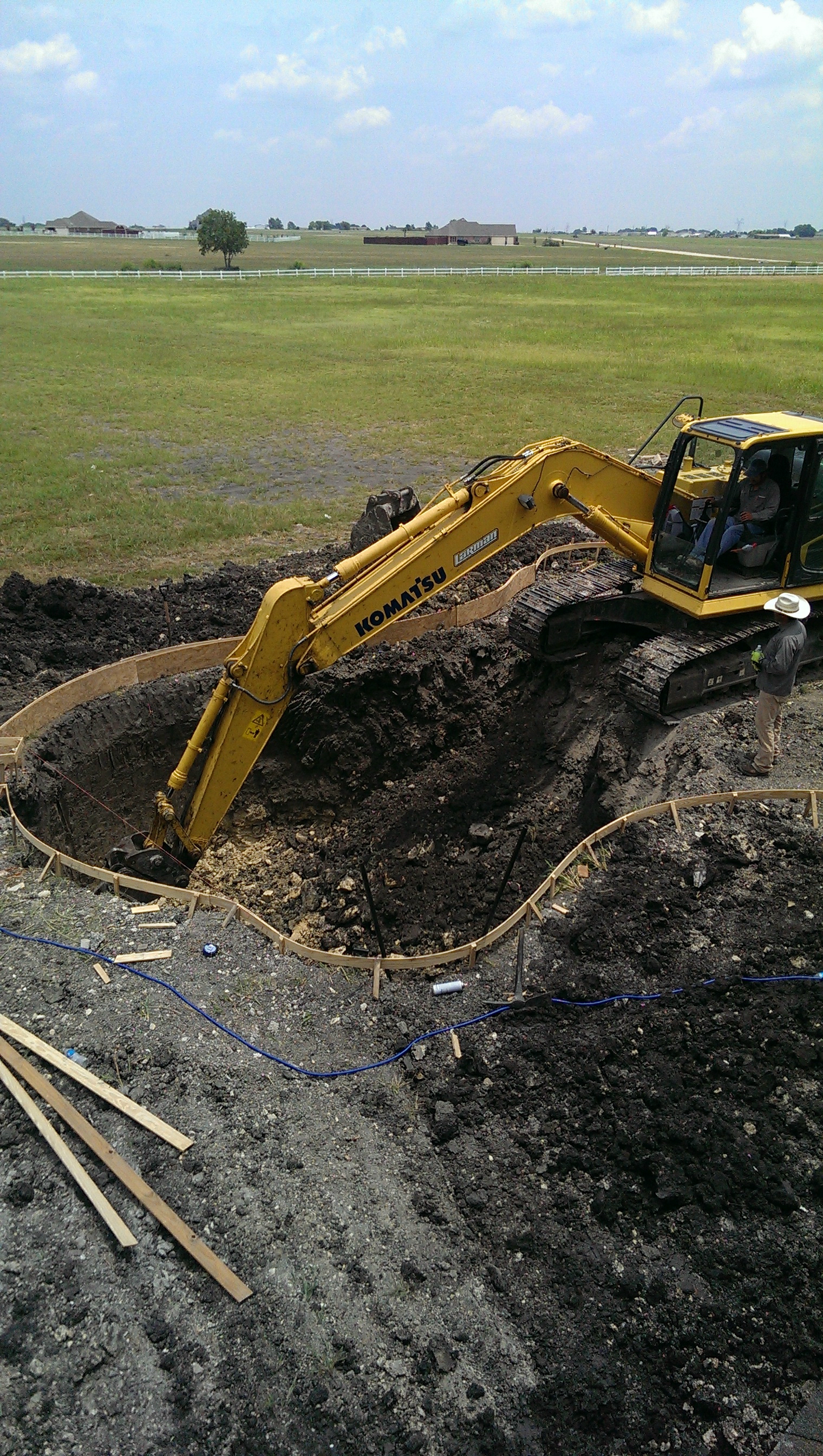
Equipment near tracks
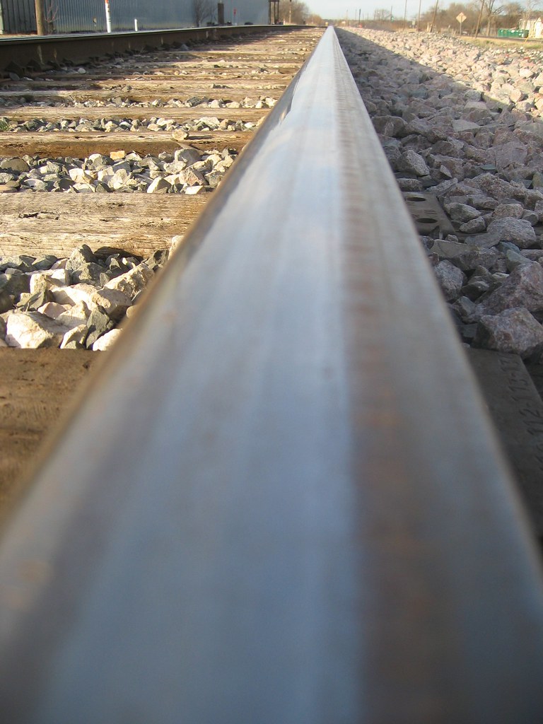
Train Track

Aerial view.

American Lady Butterfly (Vanessa virginiensis) On ConeFlower

American Lady Butterfly (Vanessa virginiensis) On ConeFlower
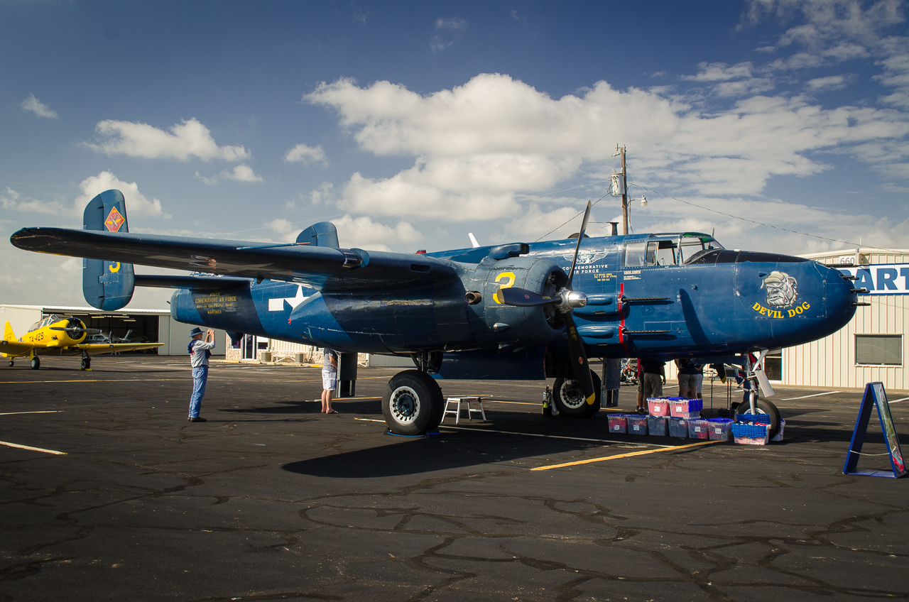
Devil Dog - Full View
Pool view Cuomo second floor
Inside view of family room patio door
view from north side
the view
view from Across street
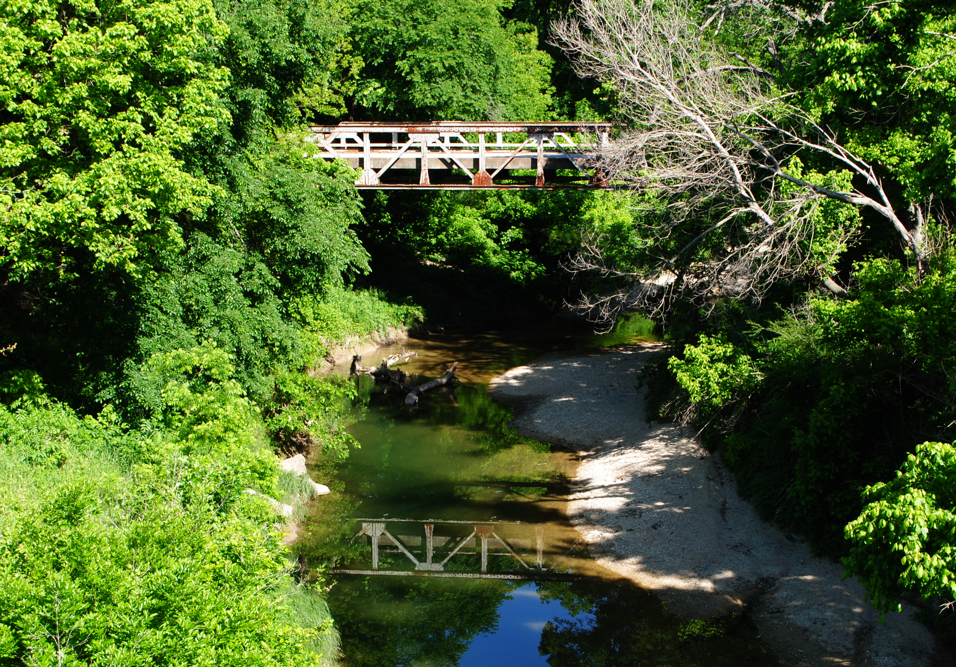
Pony Truss Bridge, Old Red Oak Road over Ten Mile Creek, Lancaster, Texas 1305070953

Ellis County Farm Cemetery, Waxahachie, Texas

Sunset through trees

Triphids !

If only I had a ND filter..

Sunflower Sky

Sunset through trees
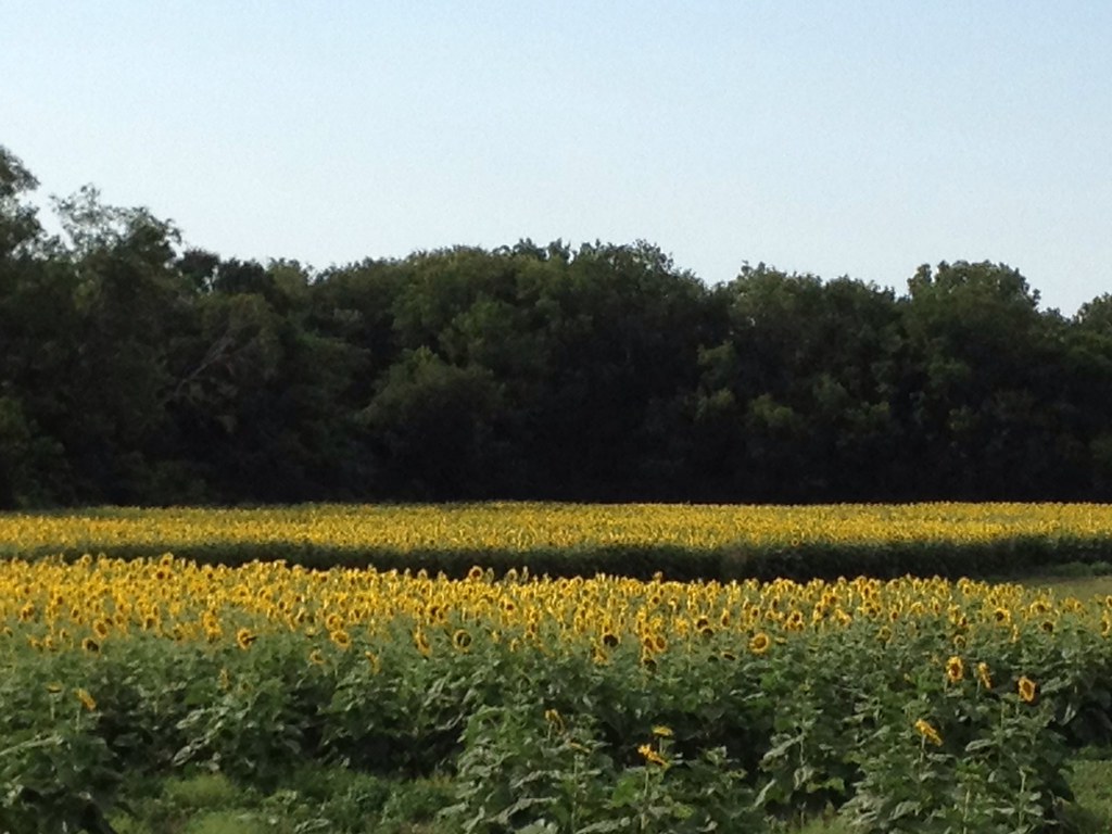
Field of Sunflowers

Yellow Highlights - 1163
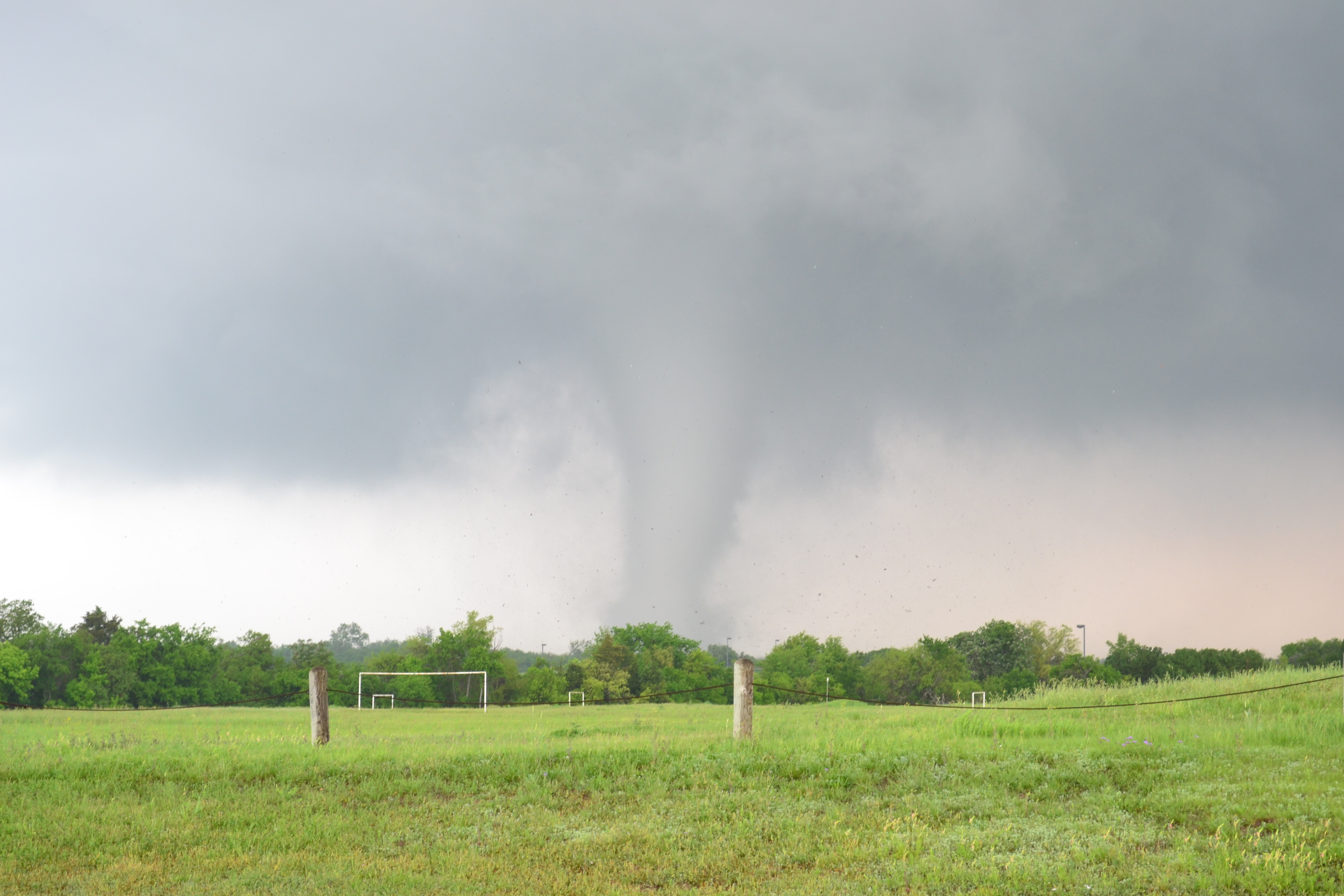
Lancaster TX Tornado - April 3rd 2012
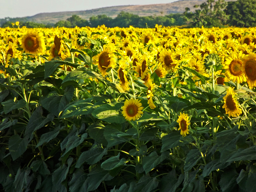
Field of Gold - 1173
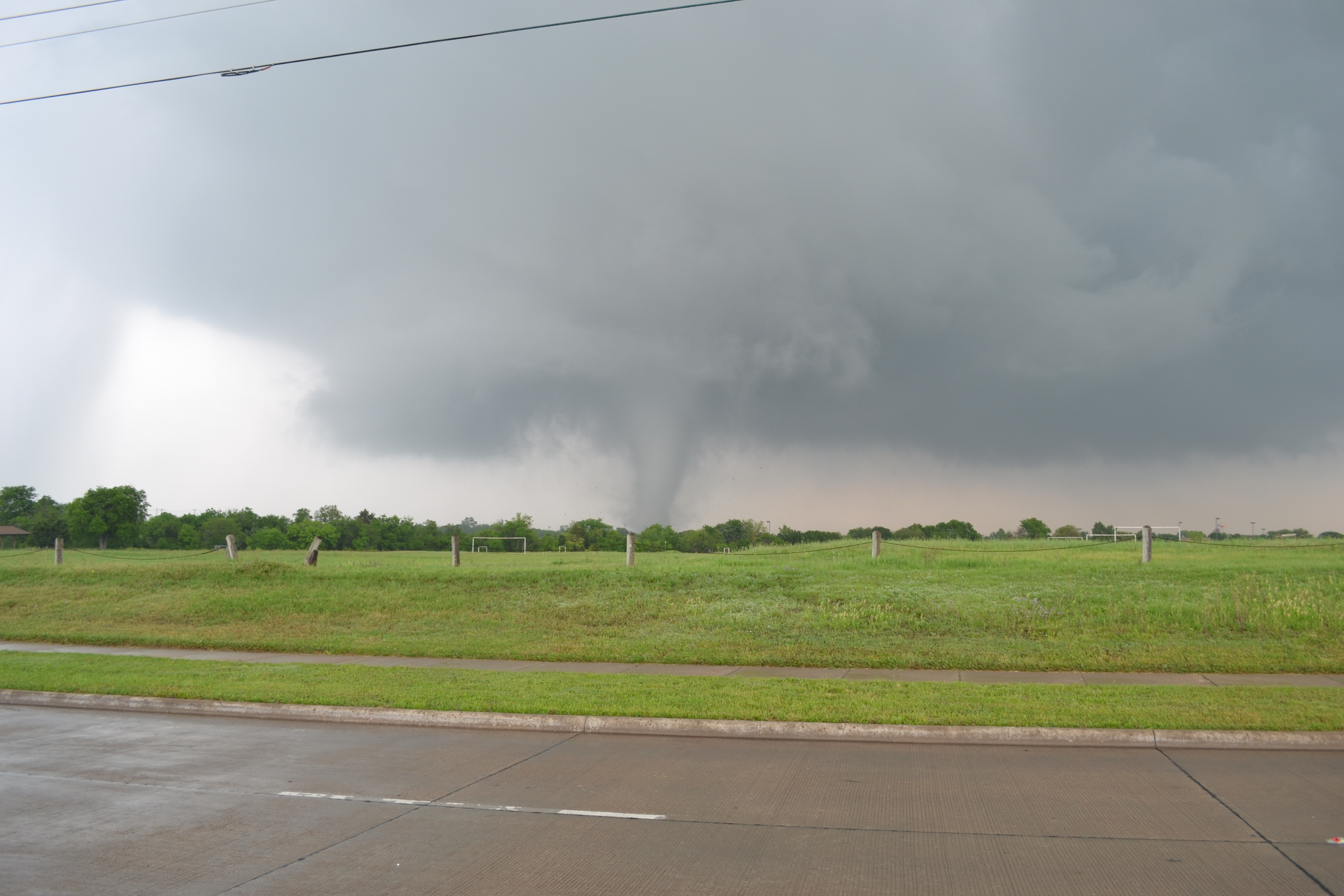
Lancaster TX Tornado - April 3rd 2012

Ennis Bluebonnet Trip 2015
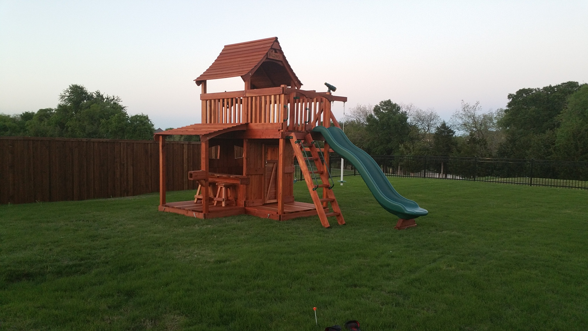
Maverick Swing Set Lower Cabin Lemonade Counter
Daily Doses
Topographic Map of Pierce Rd, Red Oak, TX, USA
Find elevation by address:

Places near Pierce Rd, Red Oak, TX, USA:
Bell Chapel Cemetery
122 Catawba Rd
239 Cascade Dr
162 Chazlynn Ct
105 Thames Cir
379 Rutherford Rd
379 Rutherford Rd
379 Rutherford Rd
379 Rutherford Rd
379 Rutherford Rd
379 Rutherford Rd
379 Rutherford Rd
103 Forest Brook Dr
400 Victorian Dr
119 Mulkey Rd
Orr Circle
127 Orr Cir
Hurn Airport
108 Fallen Rock Dr
710 Ovilla Rd
Recent Searches:
- Elevation of Luther Road, Luther Rd, Auburn, CA, USA
- Elevation of Unnamed Road, Respublika Severnaya Osetiya — Alaniya, Russia
- Elevation of Verkhny Fiagdon, North Ossetia–Alania Republic, Russia
- Elevation of F. Viola Hiway, San Rafael, Bulacan, Philippines
- Elevation of Herbage Dr, Gulfport, MS, USA
- Elevation of Lilac Cir, Haldimand, ON N3W 2G9, Canada
- Elevation of Harrod Branch Road, Harrod Branch Rd, Kentucky, USA
- Elevation of Wyndham Grand Barbados Sam Lords Castle All Inclusive Resort, End of Belair Road, Long Bay, Bridgetown Barbados
- Elevation of Iga Trl, Maggie Valley, NC, USA
- Elevation of N Co Rd 31D, Loveland, CO, USA