Elevation of Piedmont, OK, USA
Location: United States > Oklahoma > Canadian County >
Longitude: -97.746434
Latitude: 35.6419951
Elevation: 365m / 1198feet
Barometric Pressure: 97KPa
Elevation Map:
Satellite Map:
Related Photos:

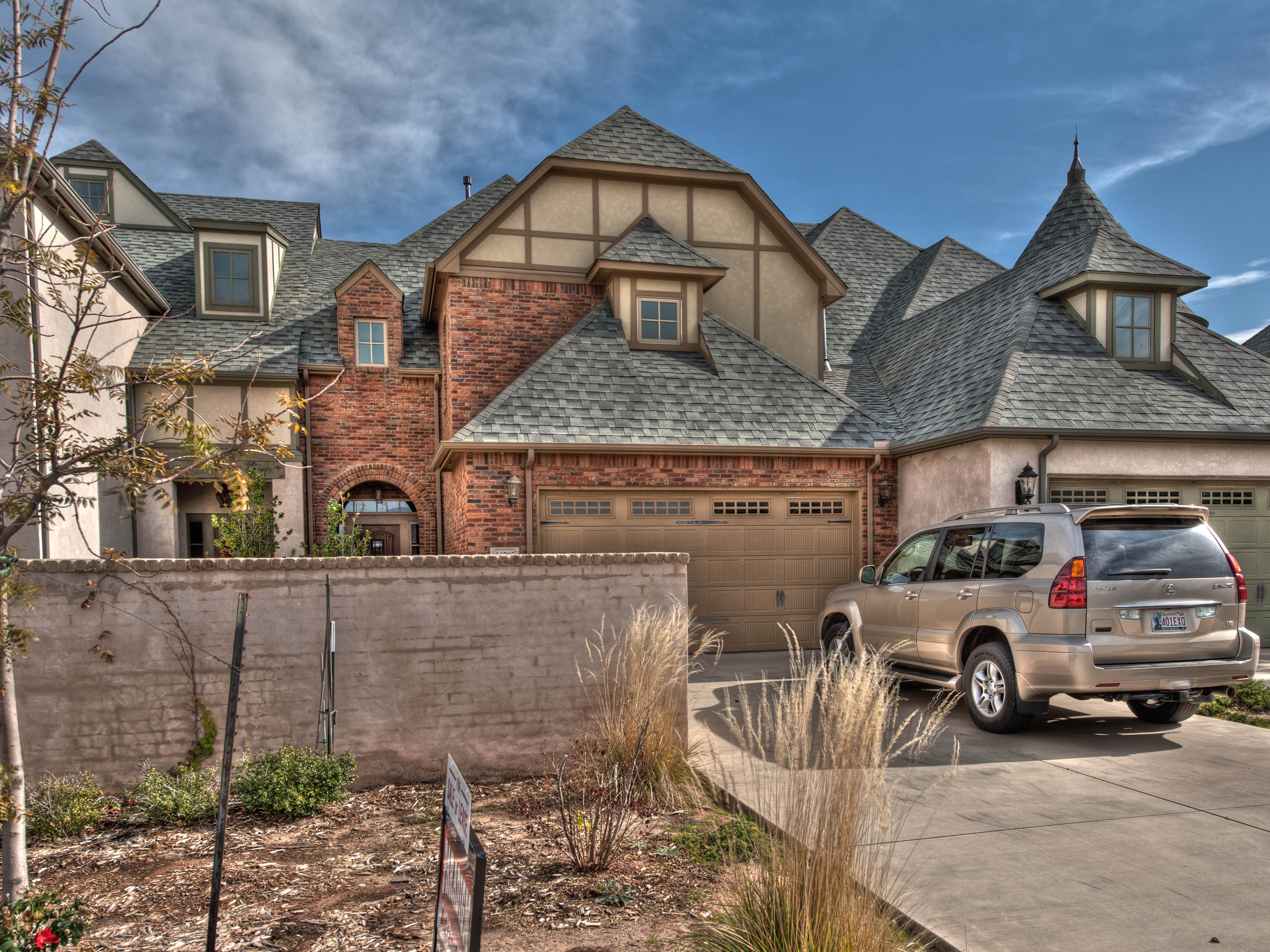
3357 NW 173rd St Edmond OK

Front View

Highway 3 / Highway 4

Front View

Front View
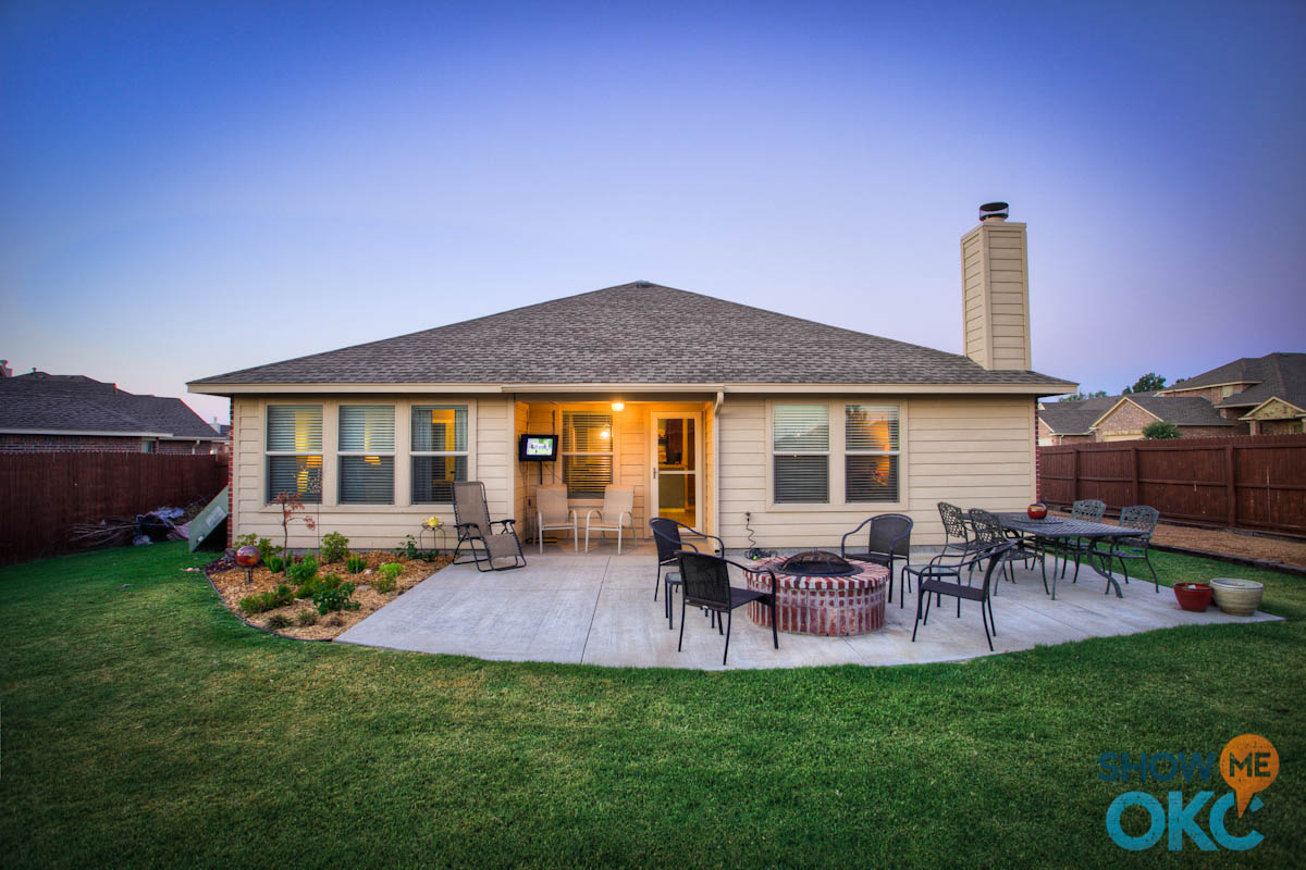
Back View

The view from inside a tiny canyon - tiny creek not pictured. #martinnaturepark #oklahomacity #okc
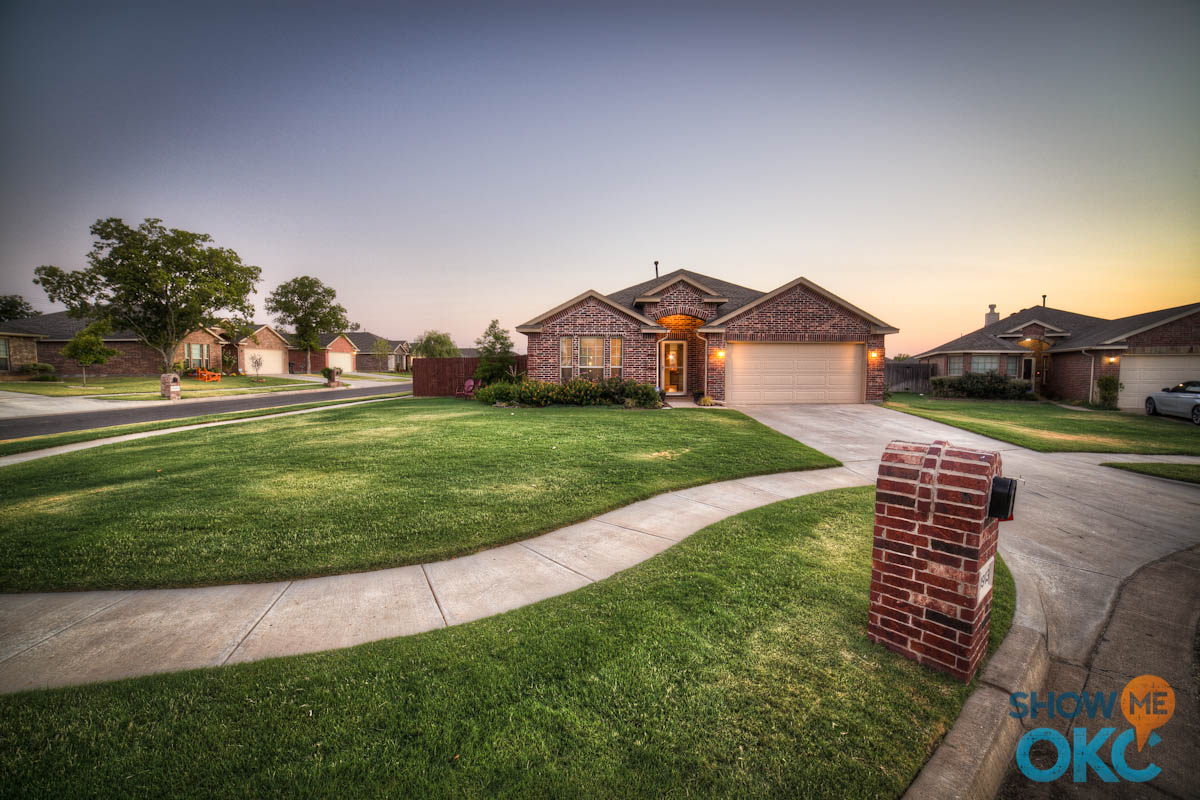
Front View

Rose Creek Villa | 16616 Little Leaf Edmond OK

The Falls at Muirfield Village - Townhome view
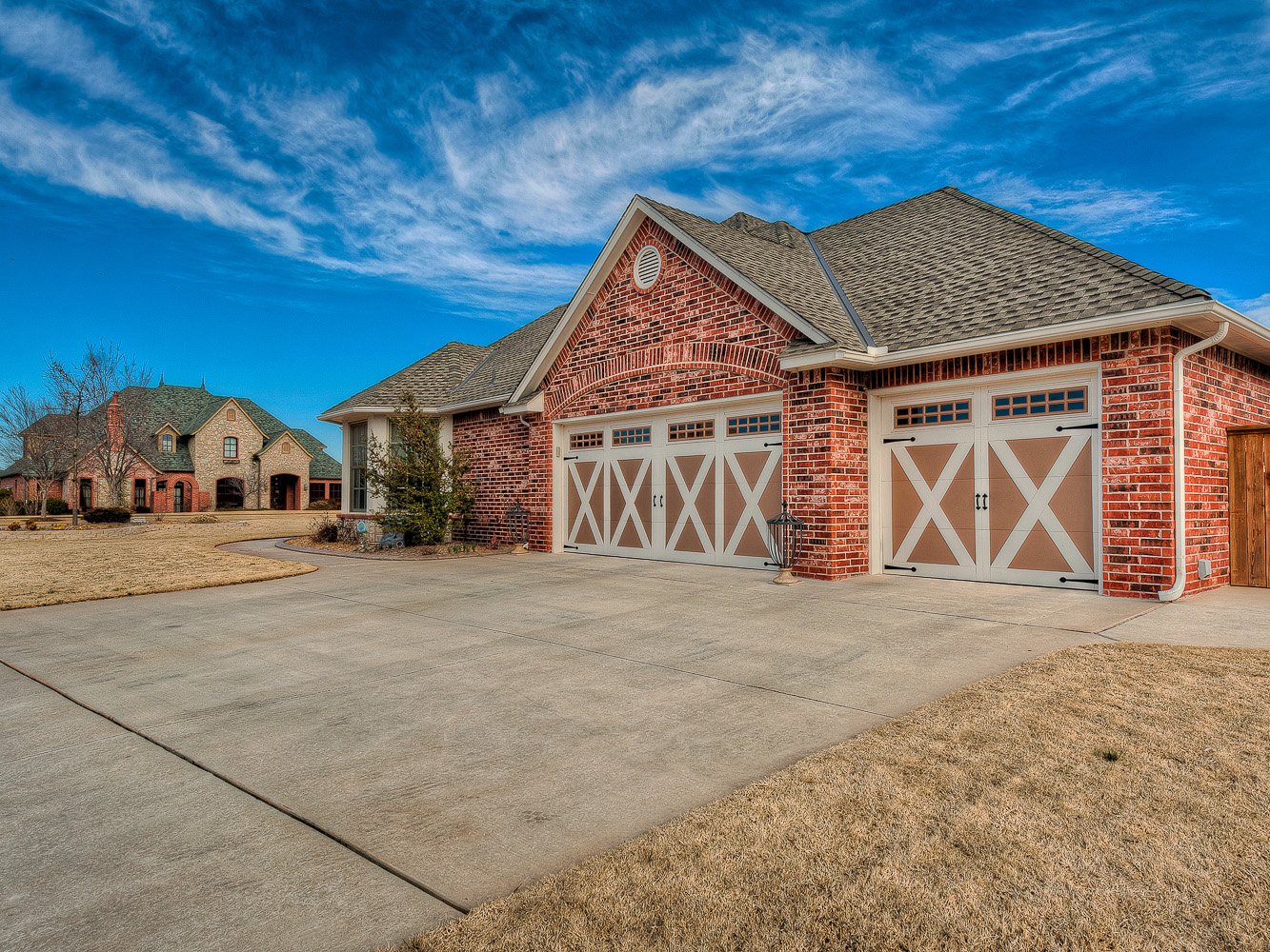
side view
3108 Rose Creek Dr Edmond OK | Rose Creek

Rose Creek | 17101 Hawks Ridge Edmond OK

Rose Creek Villa | 16616 Little Leaf Edmond OK

Rose Creek | 3525 NW 175th St Edmond K
The Falls at Muirfield Village

N-34 - Douglas DC-3, Federal Aviation Administration

Rose Creek | 3525 NW 175th St Edmond K

my camera has been everywhere (2006-2010)
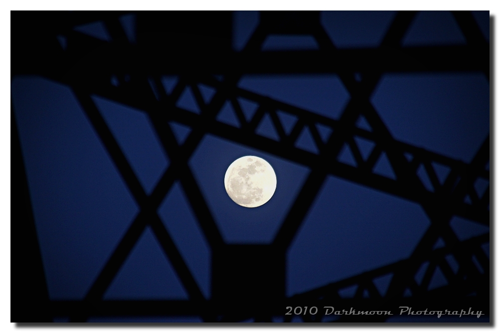
STEEL THE MOON FROM THE SKY

Glossy Ibis in foreground White-faced Ibis X2 behind it

Bicycling on Route 66
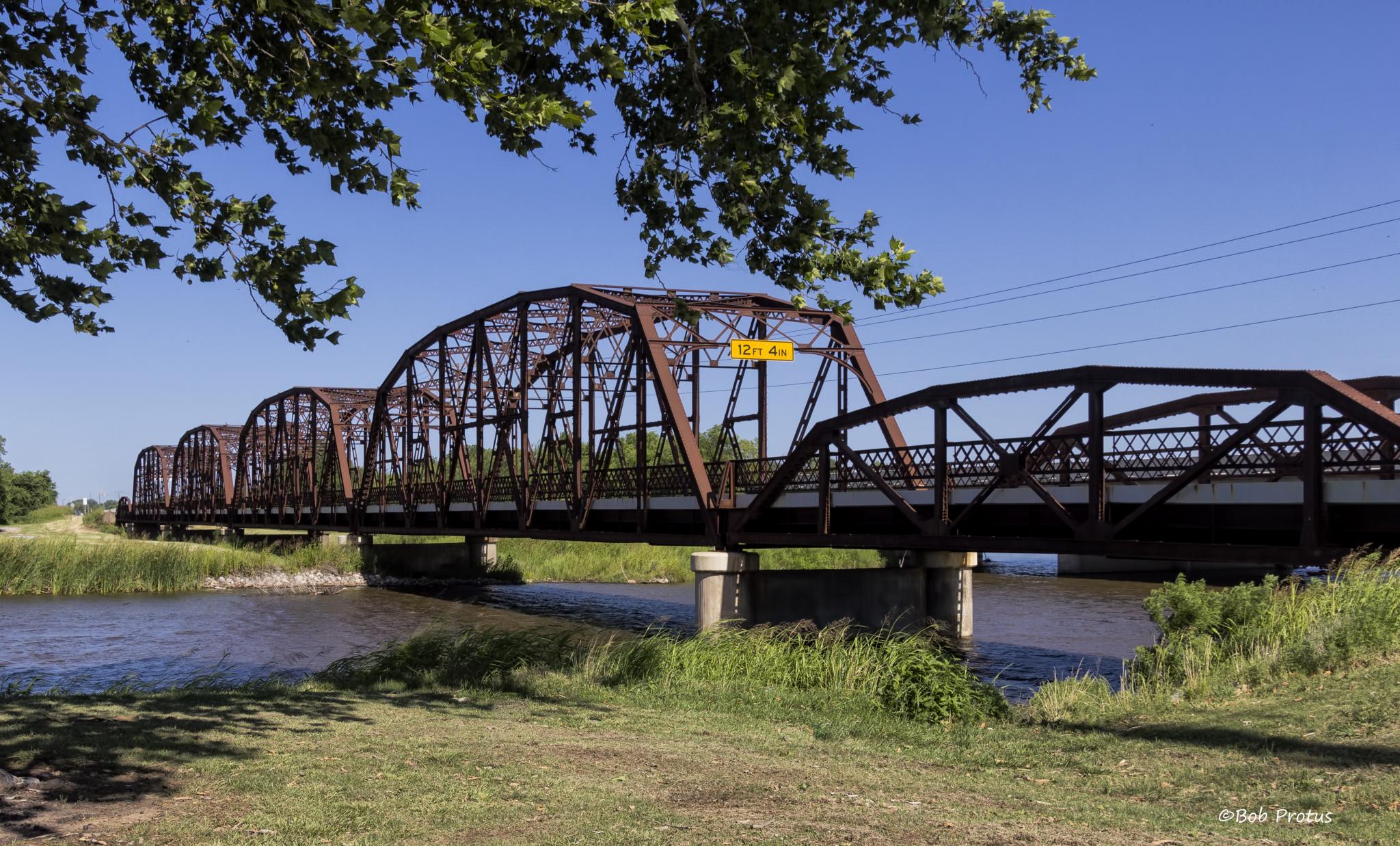
The Old Route 66 Bridge_MG_6114

Other Side of the Bridge
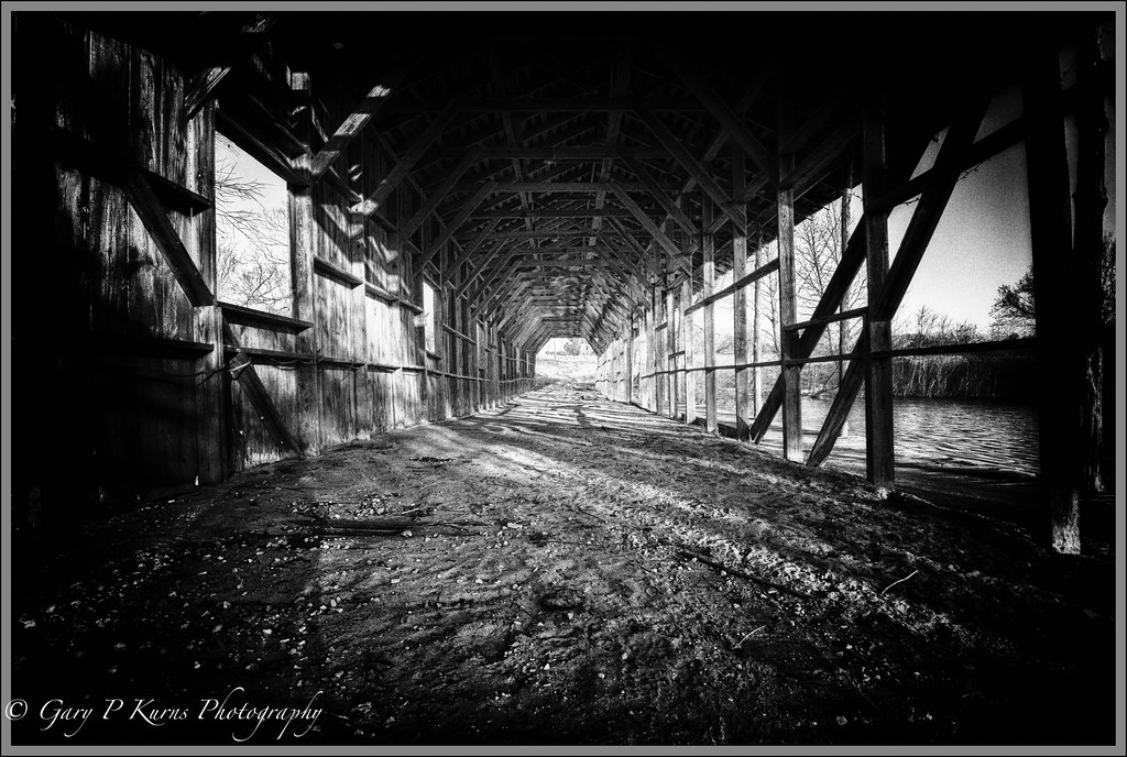
The Wild Bridge

Great Blue Heron_MG_1632

Supercellule sur Piedmont (OK)

A snowdrop by the road today bowed gracefully - celebrating the solstice with a walk in the Stinchcomb wilderness.

Sunset before Ballin

Standing Tall and to the Left #2
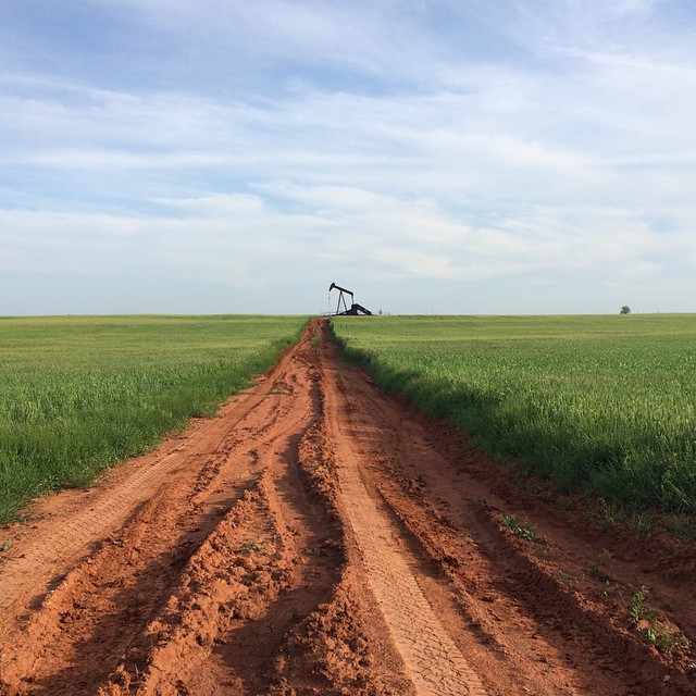
Oklahoma! #myoklahoma #Oklahoma #country #oil #derrick #plains

Sunset #6

Schwarzstock 2014 Day 1
A snowdrop by the road today bowed gracefully - celebrating the solstice with a walk in the Stinchcomb wilderness.
DSC_0291.jpg
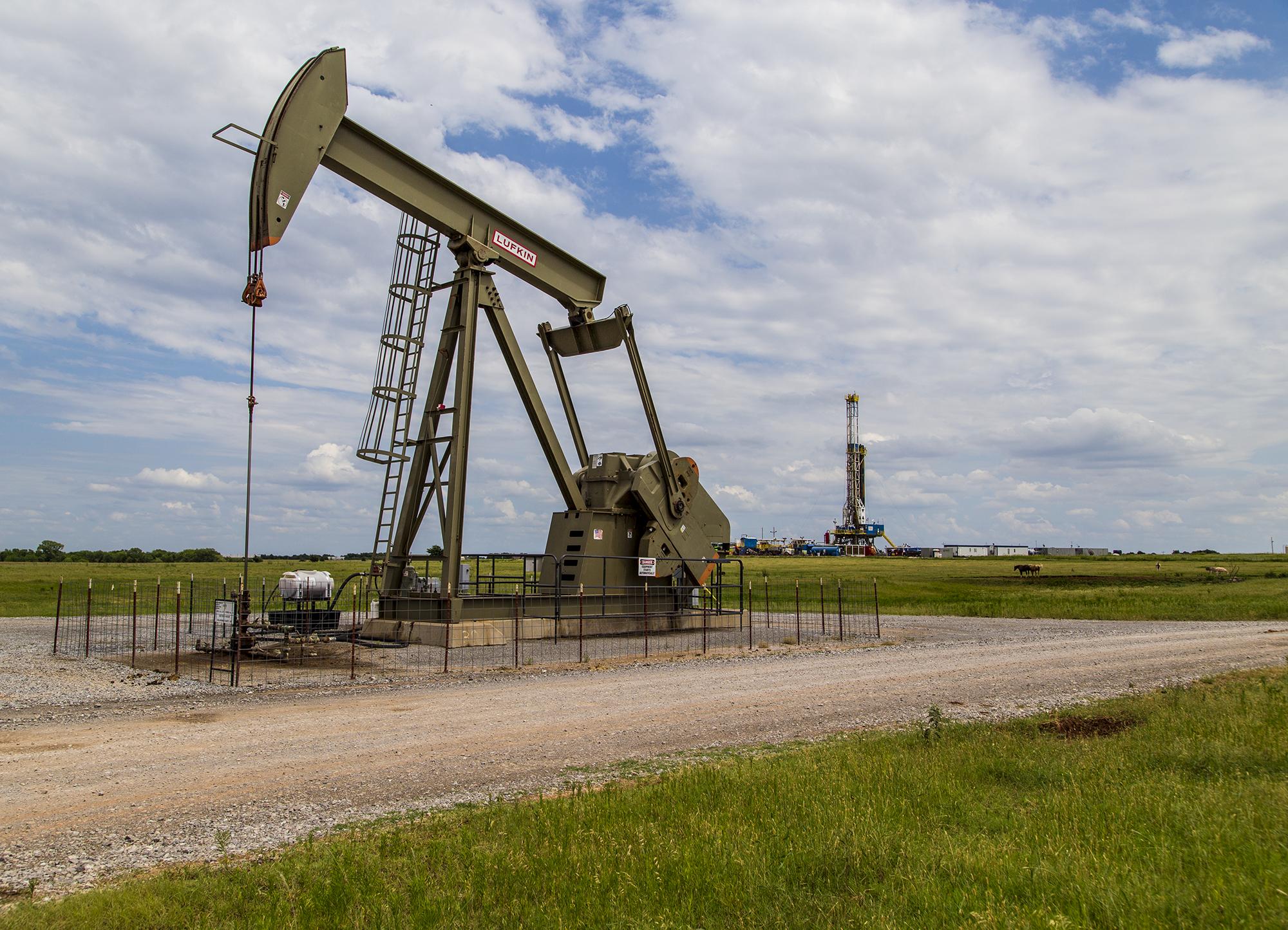
The Pumpjack
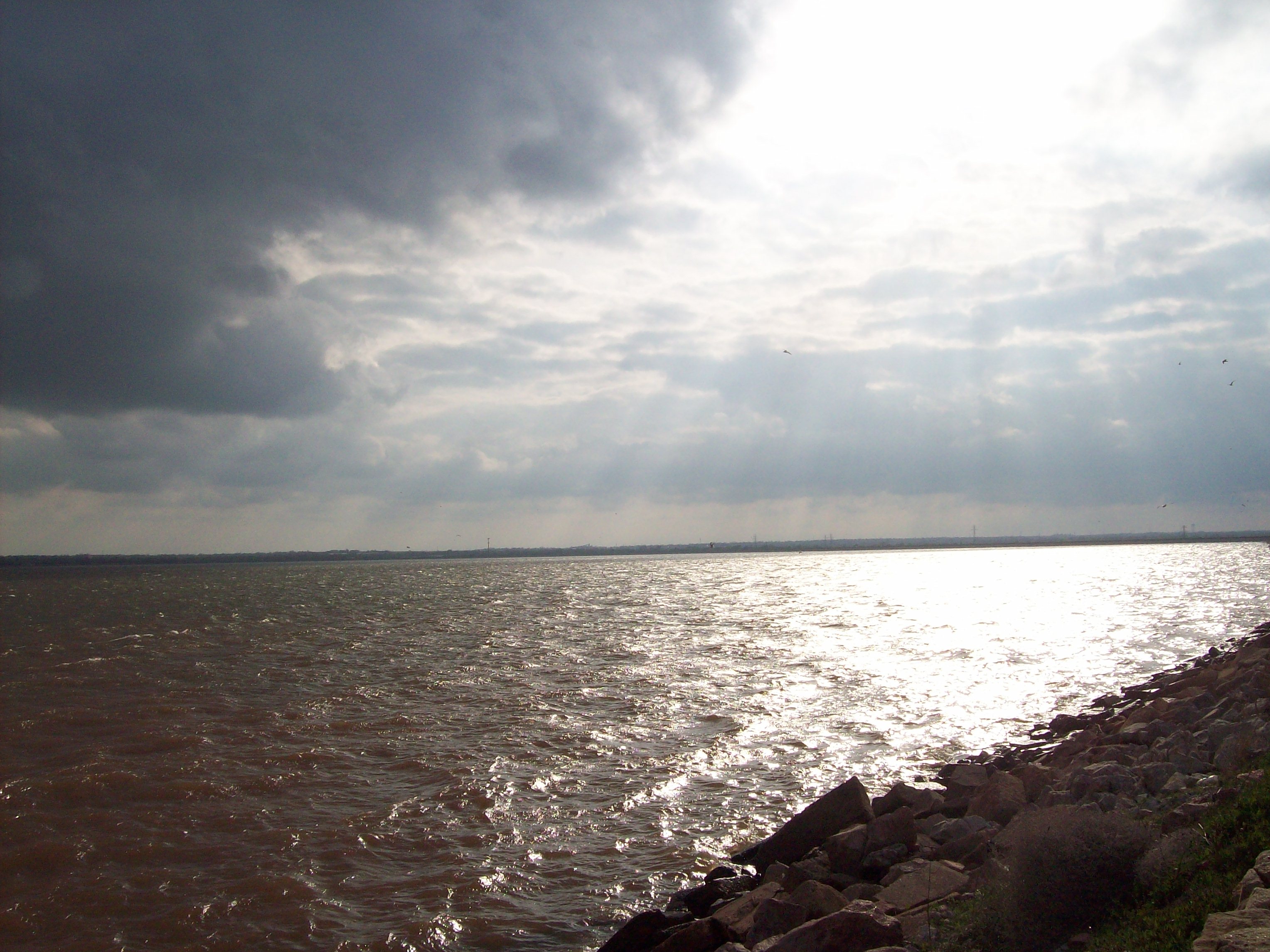
Sun Rays
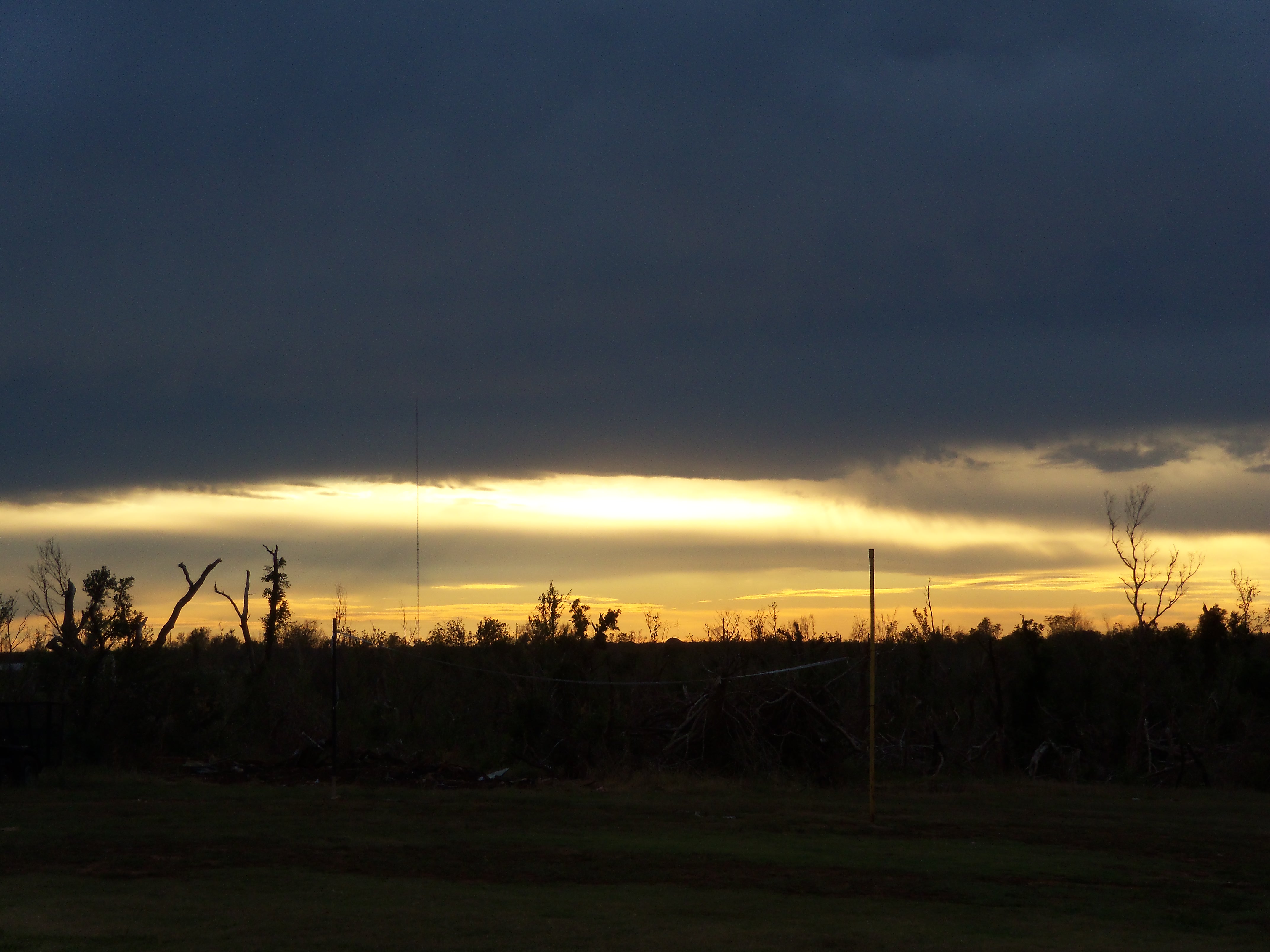
Tornado path and sunset.

Full Moon over the Lake

open plains

Standing Tall and to the Left

not giving up
Topographic Map of Piedmont, OK, USA
Find elevation by address:

Places near Piedmont, OK, USA:
Piedmont
Piedmont
Piedmont
Piedmont
Piedmont
Piedmont
Piedmont
Piedmont
Piedmont
Piedmont
Piedmont
Piedmont
Piedmont
Piedmont
Piedmont
Piedmont
Piedmont
NW 1st St, Piedmont, OK, USA
418 Jefferson Ave Ne
Recent Searches:
- Elevation of Corso Fratelli Cairoli, 35, Macerata MC, Italy
- Elevation of Tallevast Rd, Sarasota, FL, USA
- Elevation of 4th St E, Sonoma, CA, USA
- Elevation of Black Hollow Rd, Pennsdale, PA, USA
- Elevation of Oakland Ave, Williamsport, PA, USA
- Elevation of Pedrógão Grande, Portugal
- Elevation of Klee Dr, Martinsburg, WV, USA
- Elevation of Via Roma, Pieranica CR, Italy
- Elevation of Tavkvetili Mountain, Georgia
- Elevation of Hartfords Bluff Cir, Mt Pleasant, SC, USA