Elevation map of Pico da Neblina, Brazil
Location: Brazil >
Longitude: -66.006667
Latitude: 0.804722
Elevation: 1360m / 4462feet
Barometric Pressure: 86KPa
Elevation Map:
Satellite Map:
Related Photos:
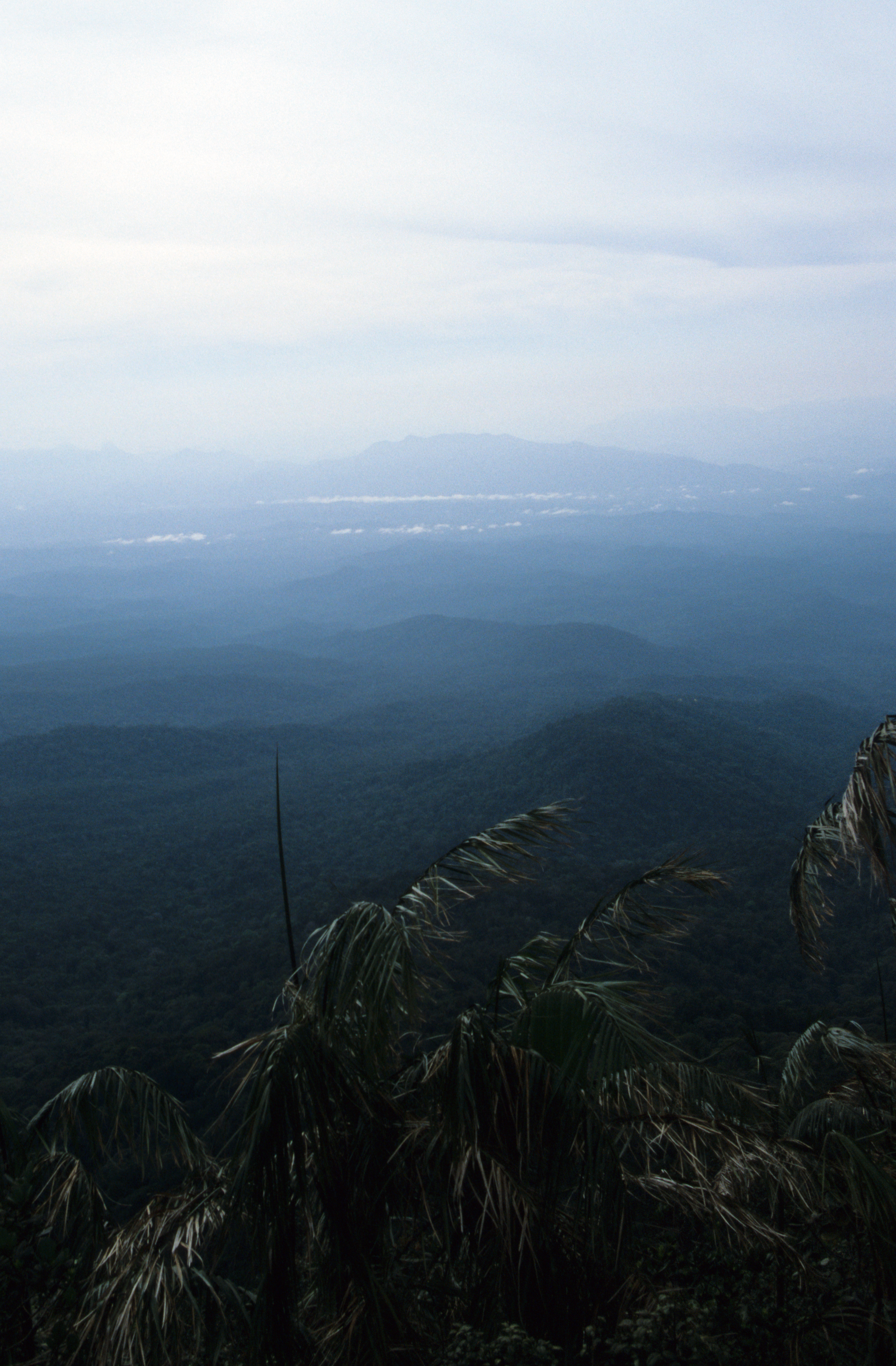
View from Serro do Montilla Pass, Pico da Neblina Trek
Topographic Map of Pico da Neblina, Brazil
Find elevation by address:

Recent Searches:
- Elevation of Corso Fratelli Cairoli, 35, Macerata MC, Italy
- Elevation of Tallevast Rd, Sarasota, FL, USA
- Elevation of 4th St E, Sonoma, CA, USA
- Elevation of Black Hollow Rd, Pennsdale, PA, USA
- Elevation of Oakland Ave, Williamsport, PA, USA
- Elevation of Pedrógão Grande, Portugal
- Elevation of Klee Dr, Martinsburg, WV, USA
- Elevation of Via Roma, Pieranica CR, Italy
- Elevation of Tavkvetili Mountain, Georgia
- Elevation of Hartfords Bluff Cir, Mt Pleasant, SC, USA