Elevation of Piñon Mesa HP, Colorado, USA
Location: United States > Colorado > Mesa County > Glade Park >
Longitude: -108.77166
Latitude: 38.8261111
Elevation: 2955m / 9695feet
Barometric Pressure: 70KPa
Elevation Map:
Satellite Map:
Related Photos:
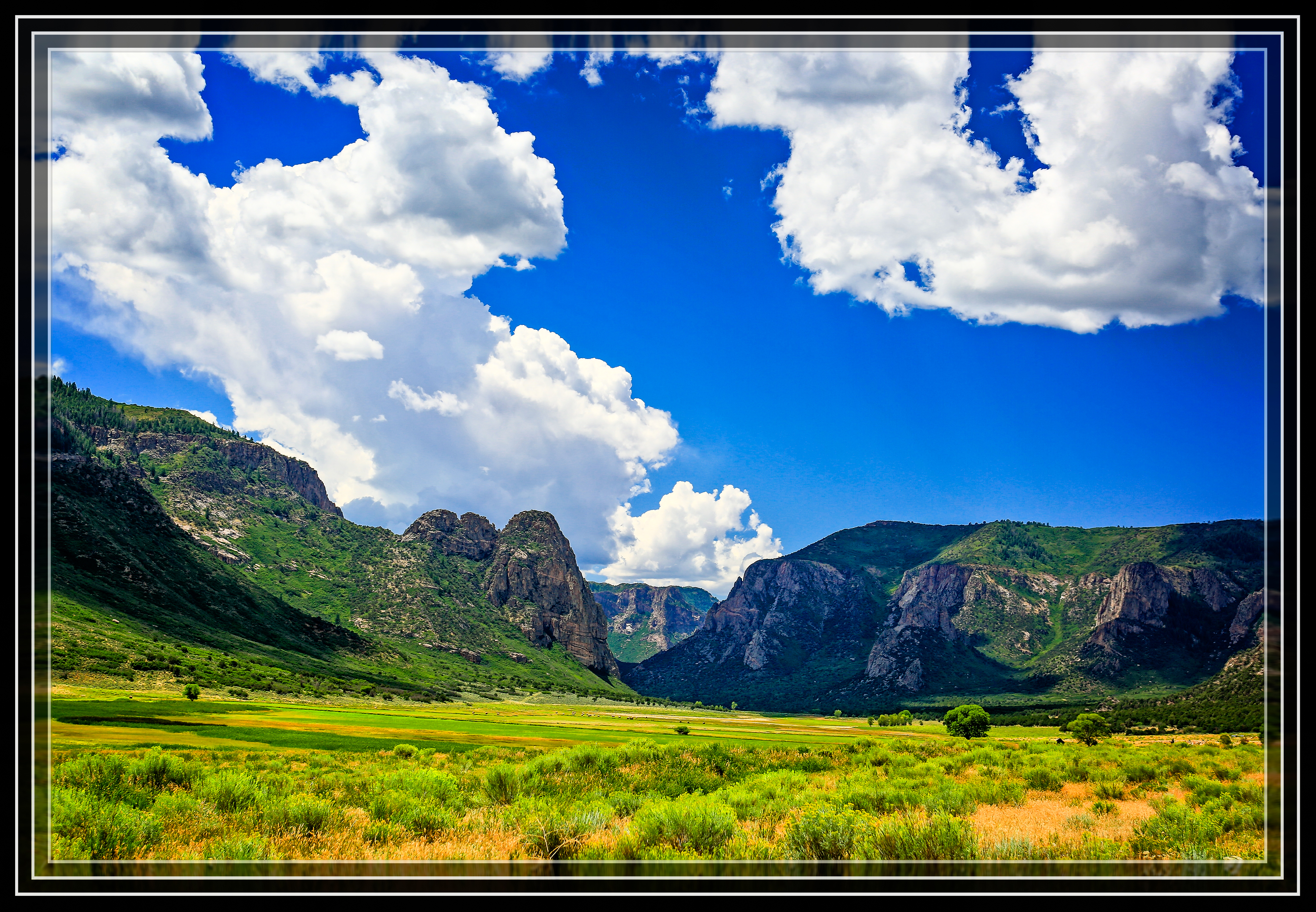
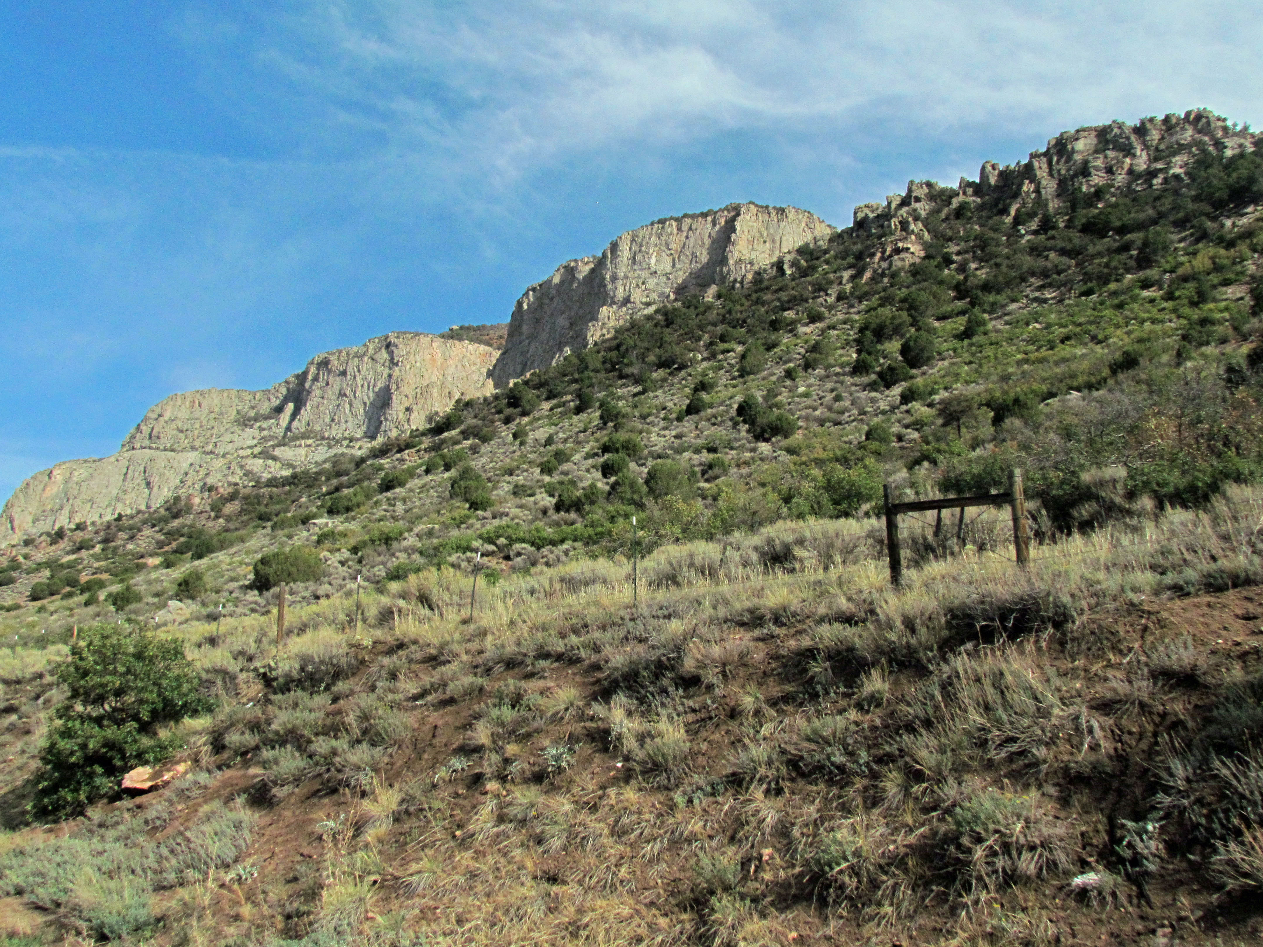
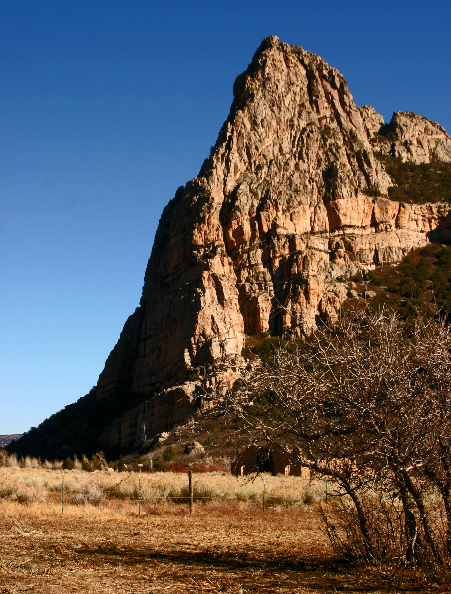
Thimble Rock Point

W Colorado 016 Along SR 141 south of Grand Junction
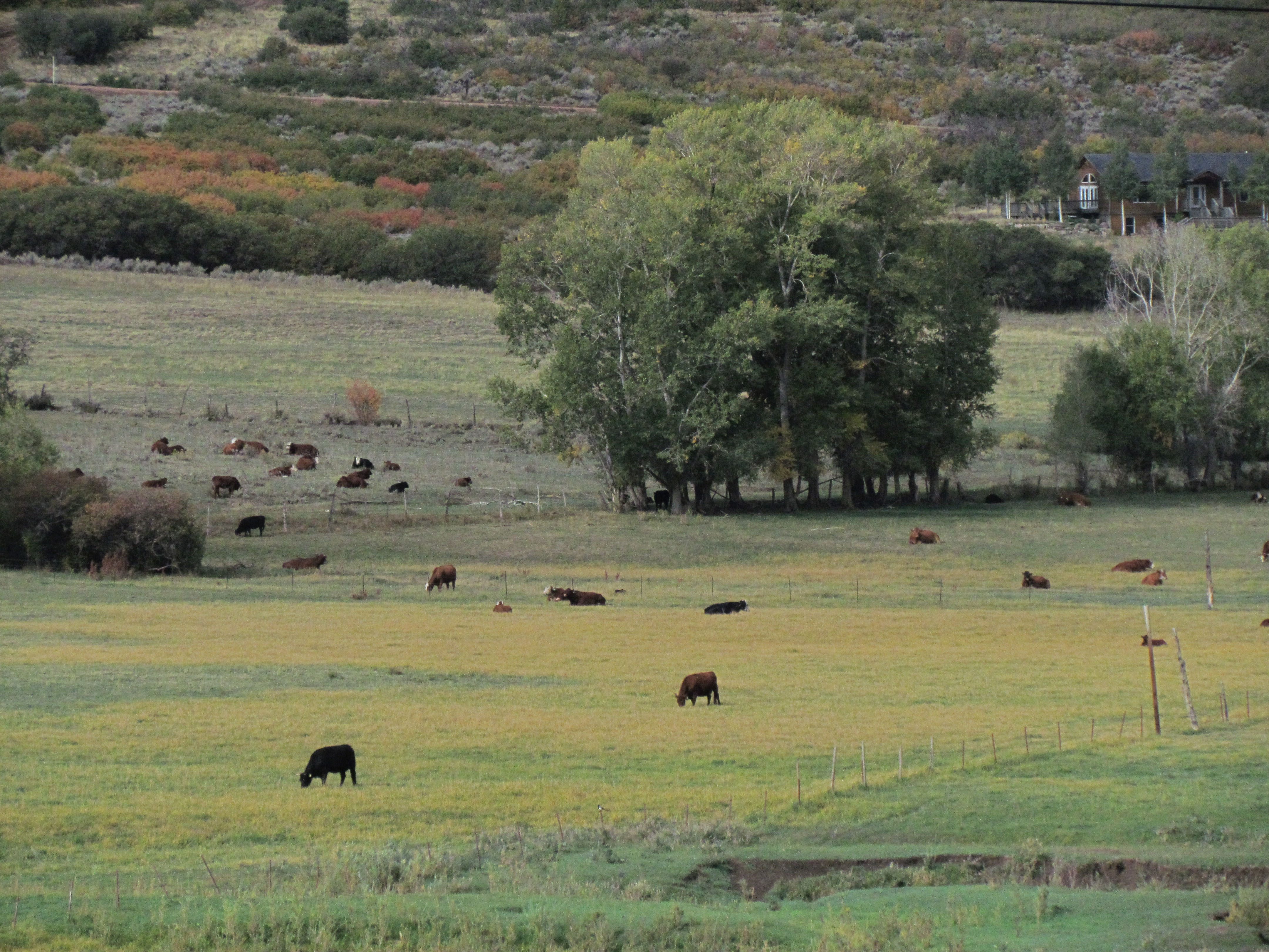
W Colorado 015 Along SR 141 - cows

Driggs Mansion

Thimble Rock & the Driggs Mansion
W Colorado 013 Along SR 141 south of Grand Junction

W Colorado 010 Along SR 141 south of Grand Junction

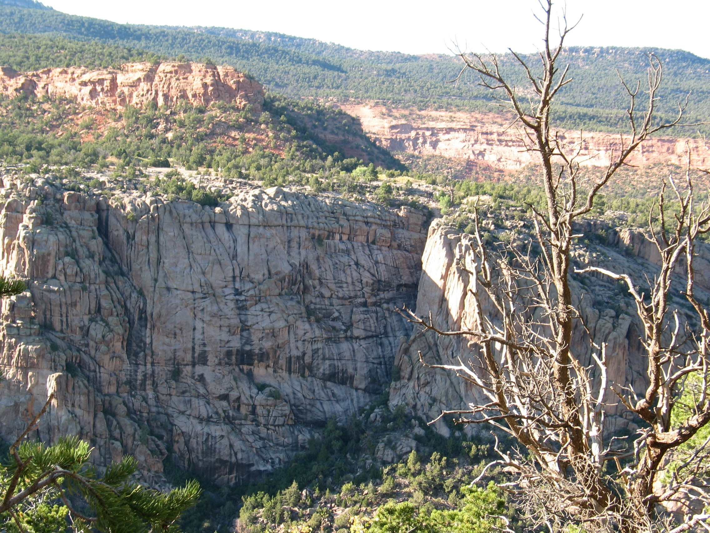
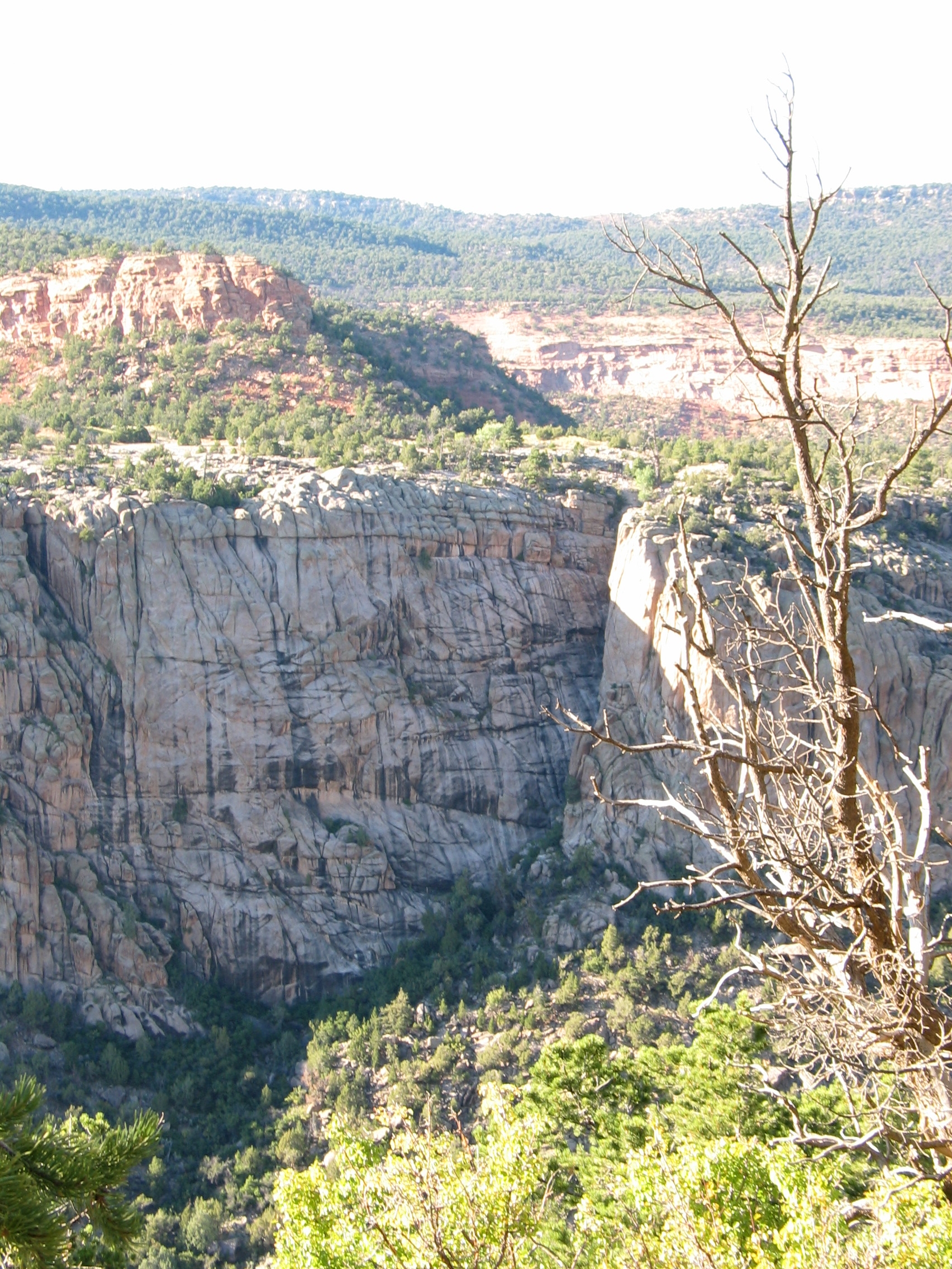
Unaweep Canyon
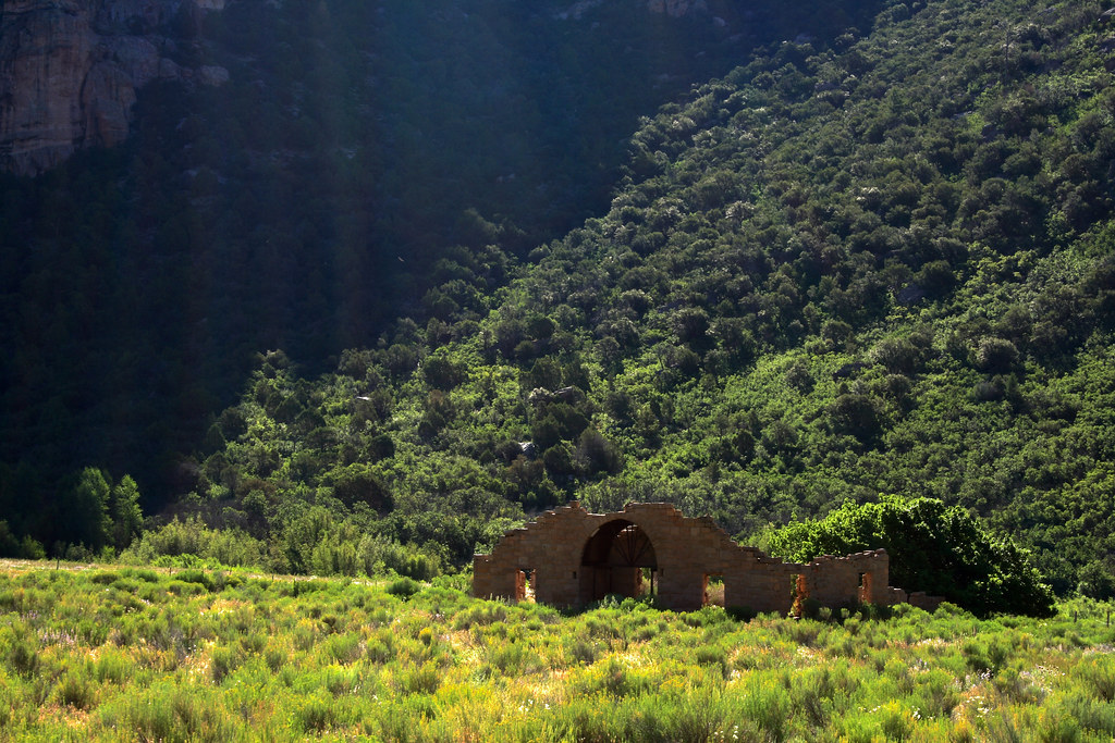
Driggs Mansion
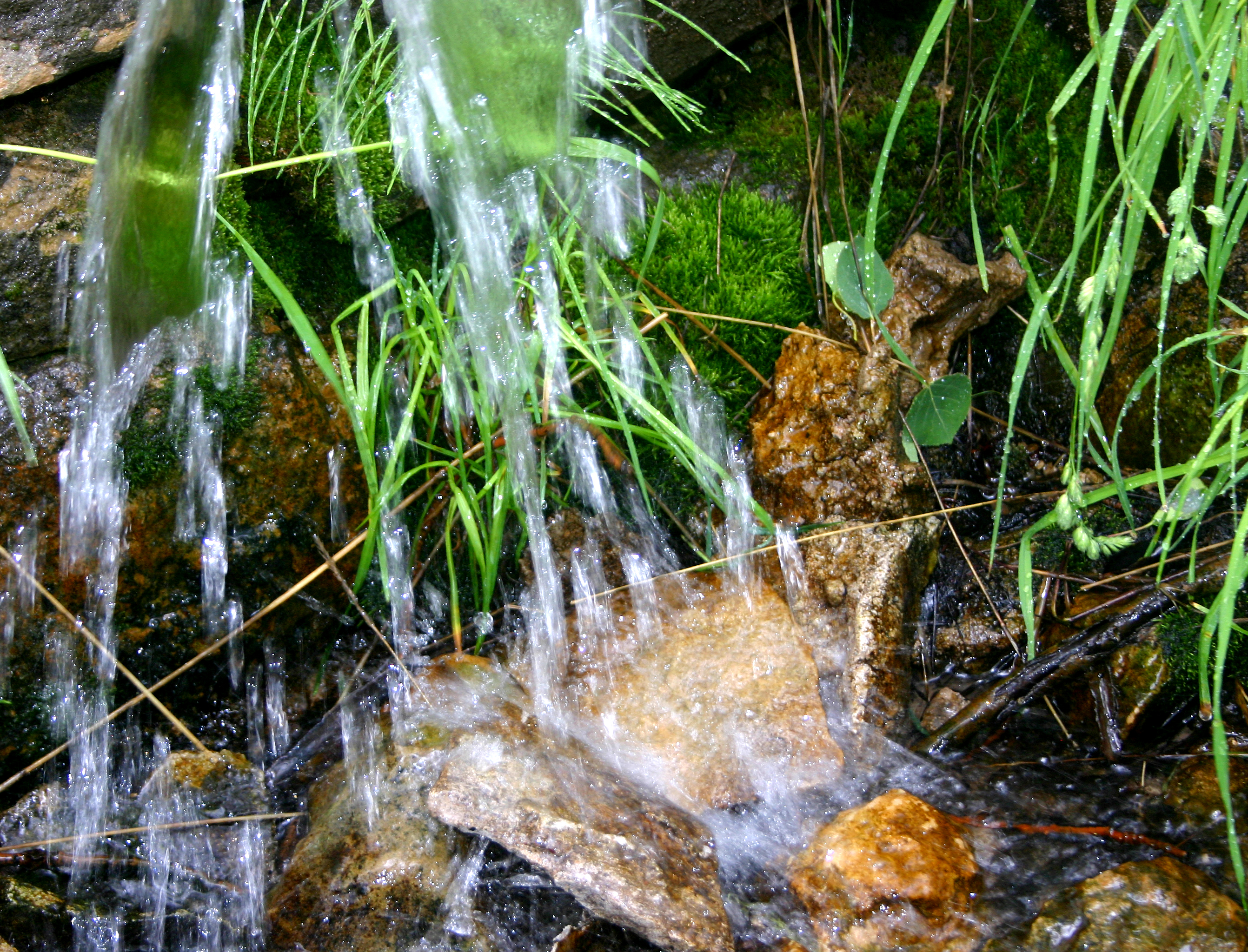
Cold, clear water from Mud Spring
Canyon rocks, Colorado
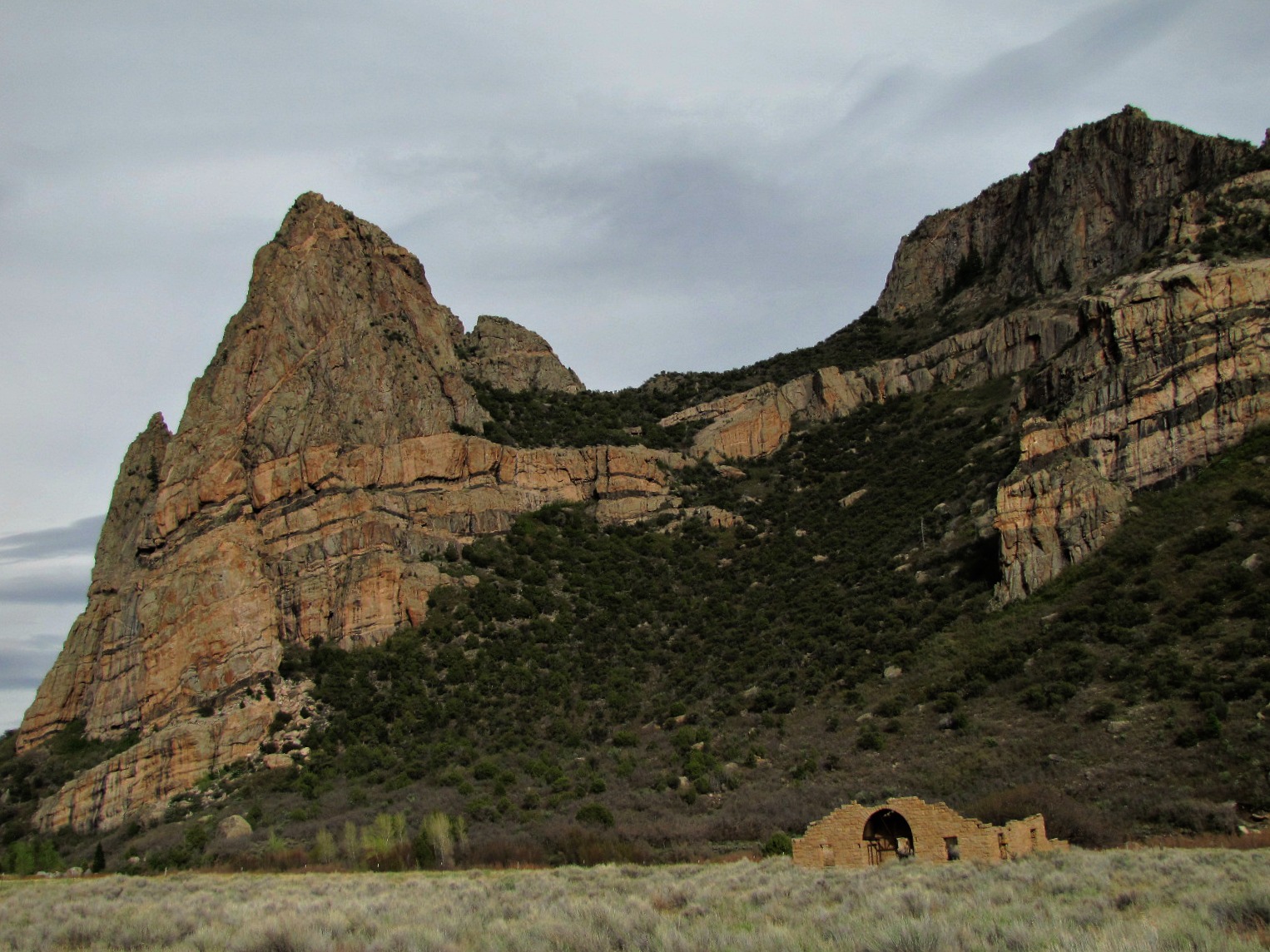
Thimble Rock (and Driggs Mansion)
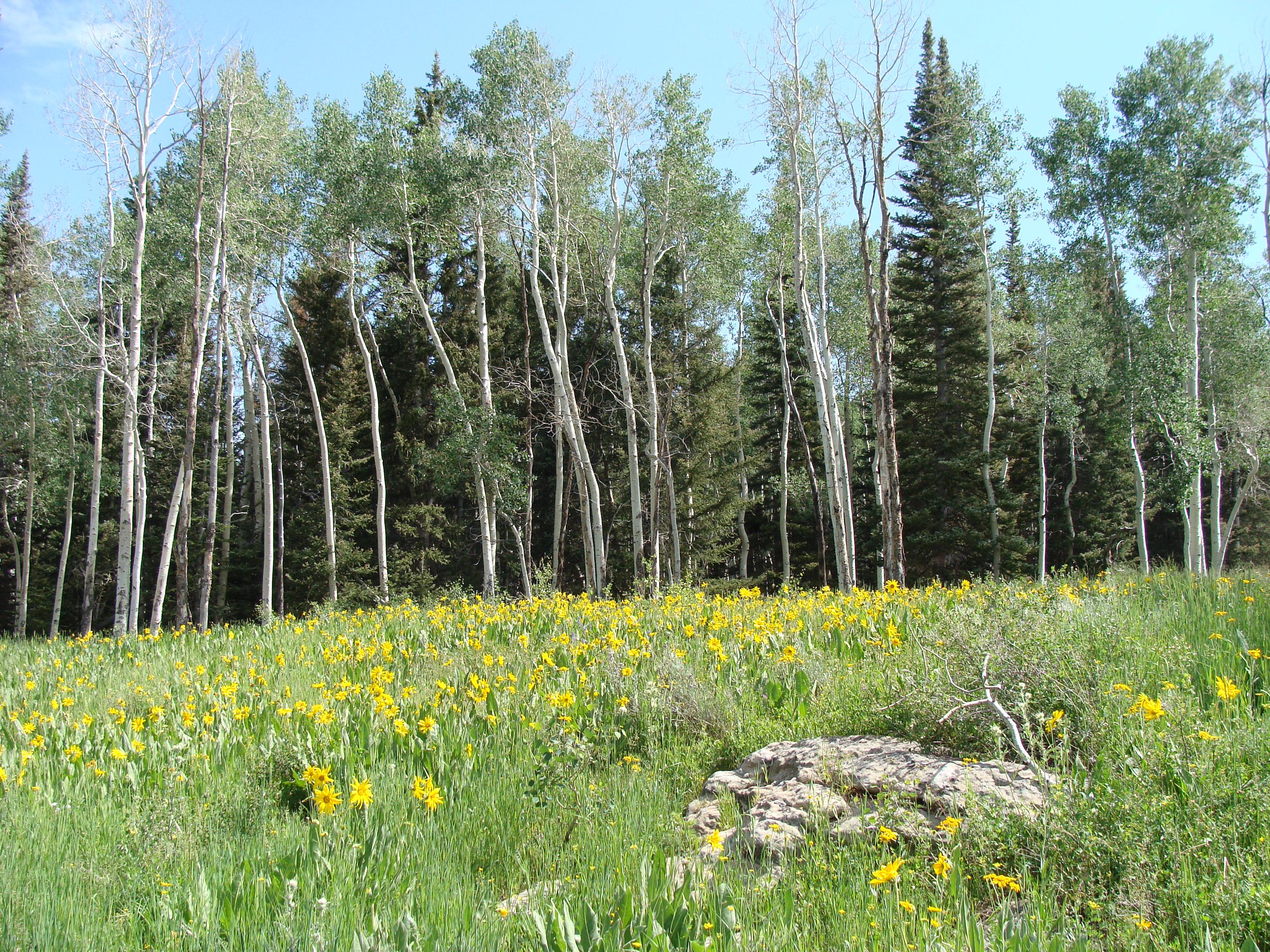
Turkey Flats, Uncompahgre National Forest
Unaweep Canyon
W Colorado 014 Along SR 141 south of Grand Junction
Rain at Thimble Rock
Intrusions along Unaweep Canyon
W Colorado 017 Along SR 141 south of Grand Junction

20090701 105738-13,293-10x16
Gateway canyon, Colrado
The broken dream at Thimble Rock
Topographic Map of Piñon Mesa HP, Colorado, USA
Find elevation by address:

Places near Piñon Mesa HP, Colorado, USA:
CO-, Whitewater, CO, USA
275 16 1/10 Rd
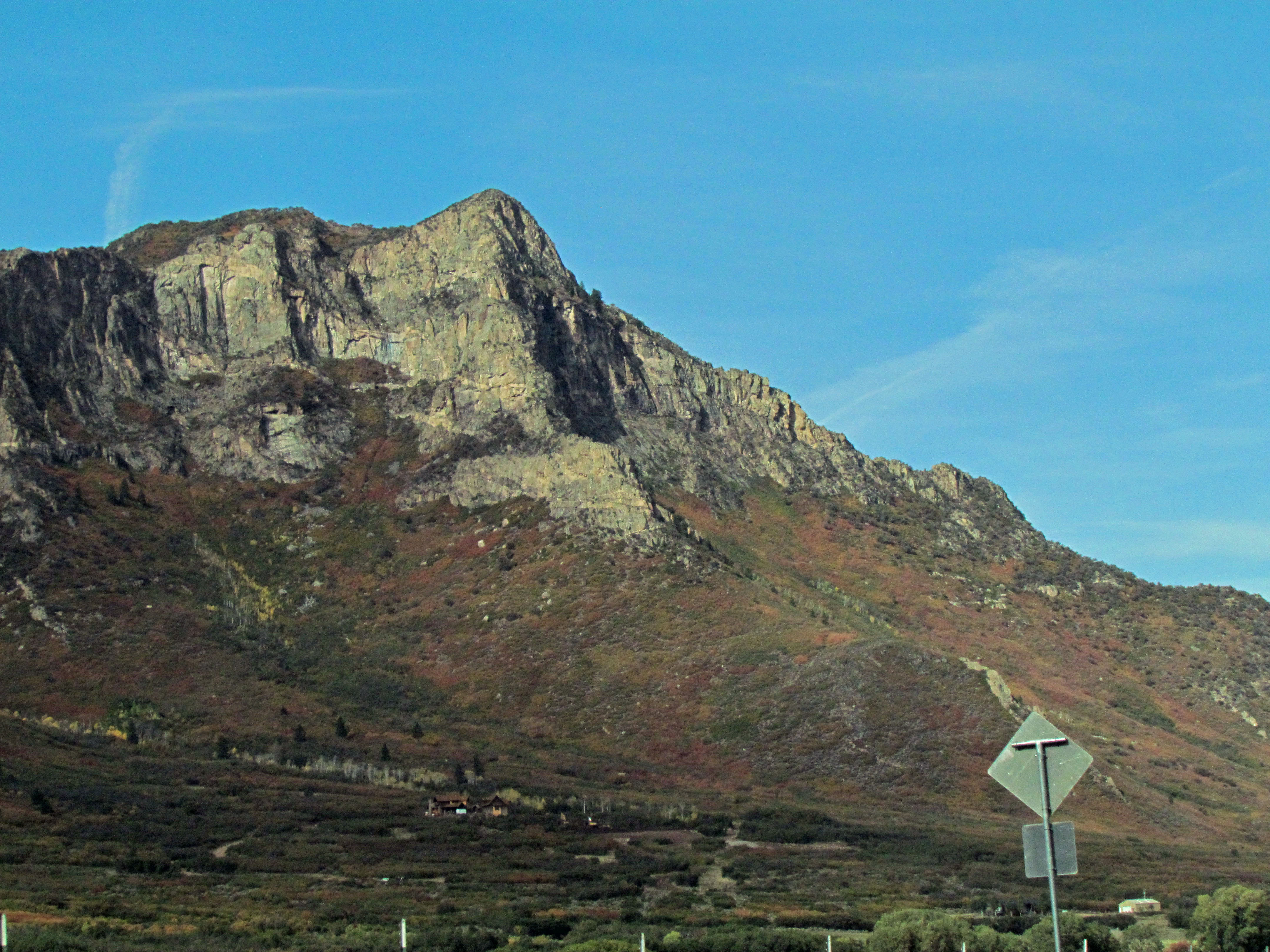
Thimble Rock Point
S 9 8/10 Rd, Glade Park, CO, USA
Masters Ranch Drive
17700 Co-141
19771 Miller Canyon Ranch Rd
Miller Canyon
Divide Forks Campground
Glade Park
12500 B South Rd
S 21 1/2 Rd, Glade Park, CO, USA
43000 Co-141
Rough Canyon Road
180 Rock Ridge Ln
15801 Pinyon Park Ln
13520 Bs Rd
Mesa County
13098 A 3/4 Rd
15701 B 1/4 Rd
Recent Searches:
- Elevation of Corso Fratelli Cairoli, 35, Macerata MC, Italy
- Elevation of Tallevast Rd, Sarasota, FL, USA
- Elevation of 4th St E, Sonoma, CA, USA
- Elevation of Black Hollow Rd, Pennsdale, PA, USA
- Elevation of Oakland Ave, Williamsport, PA, USA
- Elevation of Pedrógão Grande, Portugal
- Elevation of Klee Dr, Martinsburg, WV, USA
- Elevation of Via Roma, Pieranica CR, Italy
- Elevation of Tavkvetili Mountain, Georgia
- Elevation of Hartfords Bluff Cir, Mt Pleasant, SC, USA