Elevation of Phultala Upazila, Bangladesh
Location: Bangladesh > Khulna Division > Khulna District >
Longitude: 89.445851
Latitude: 22.9406641
Elevation: 4m / 13feet
Barometric Pressure: 101KPa
Elevation Map:
Satellite Map:
Related Photos:
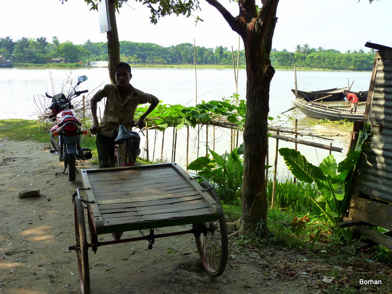
boy with his ride
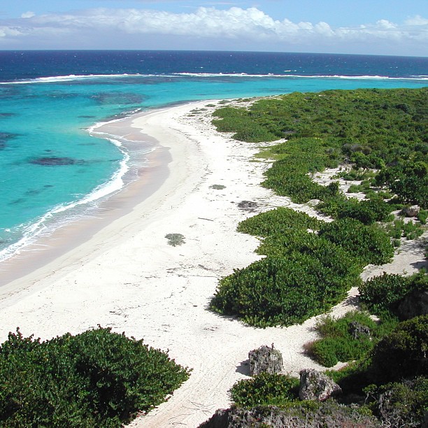
Who want to go this place ?
IMG_20180824_171927_1-01
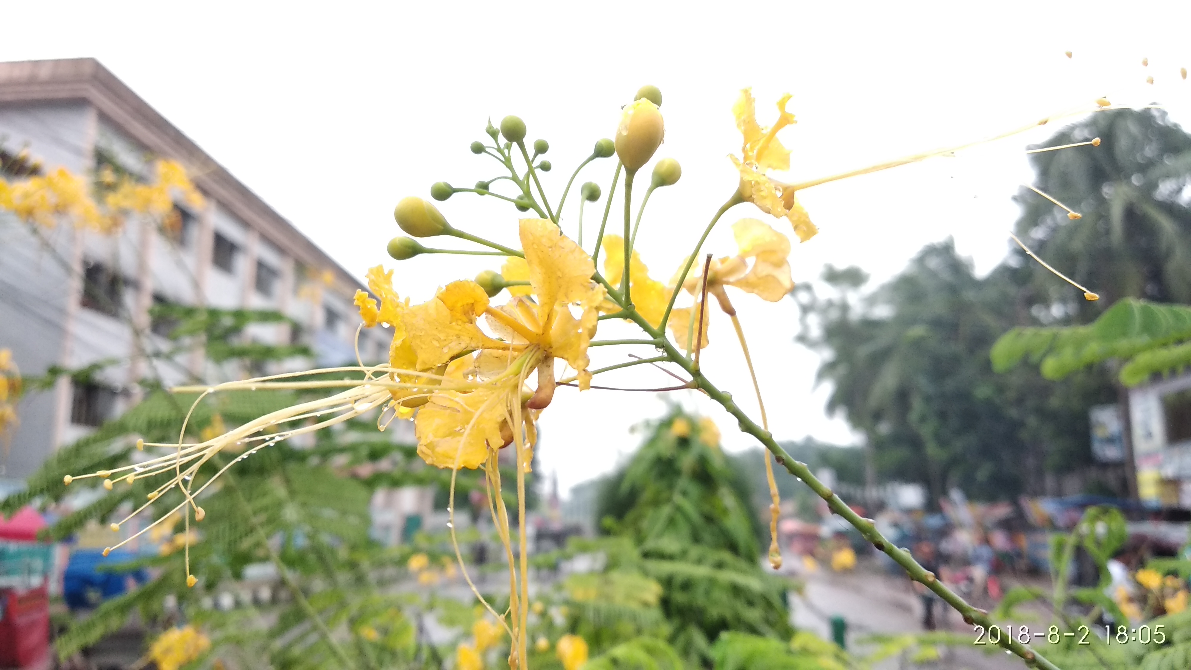
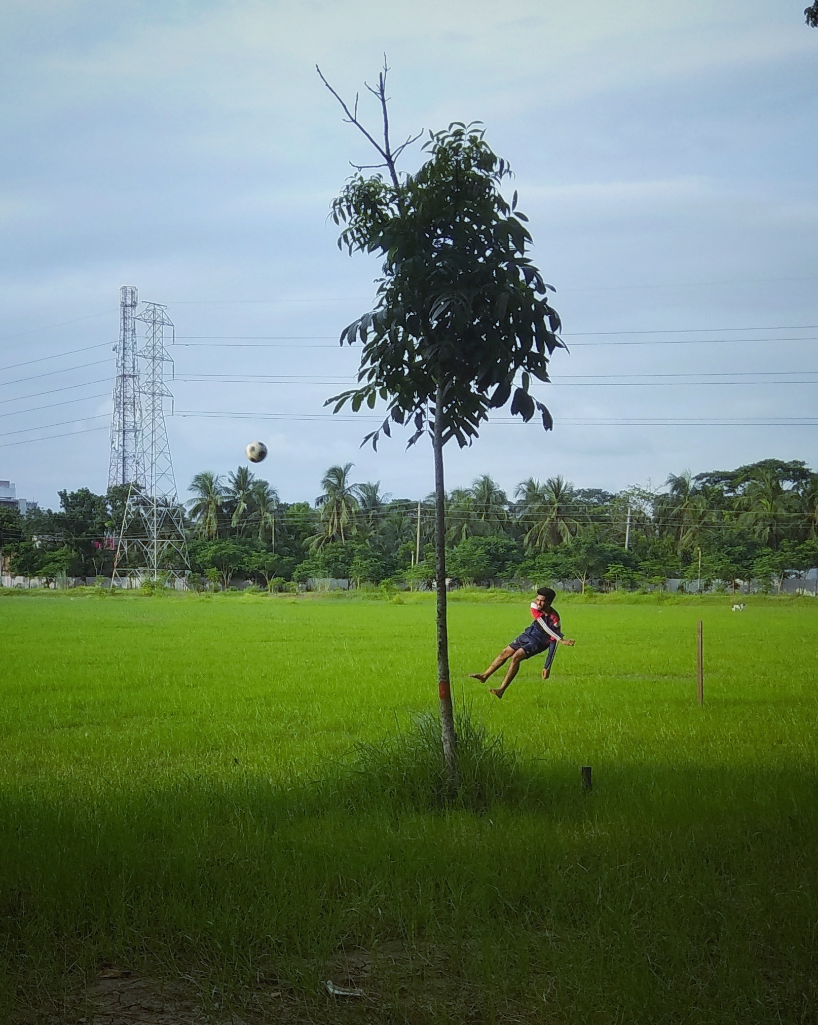
Nature before the eyes of a lunatic
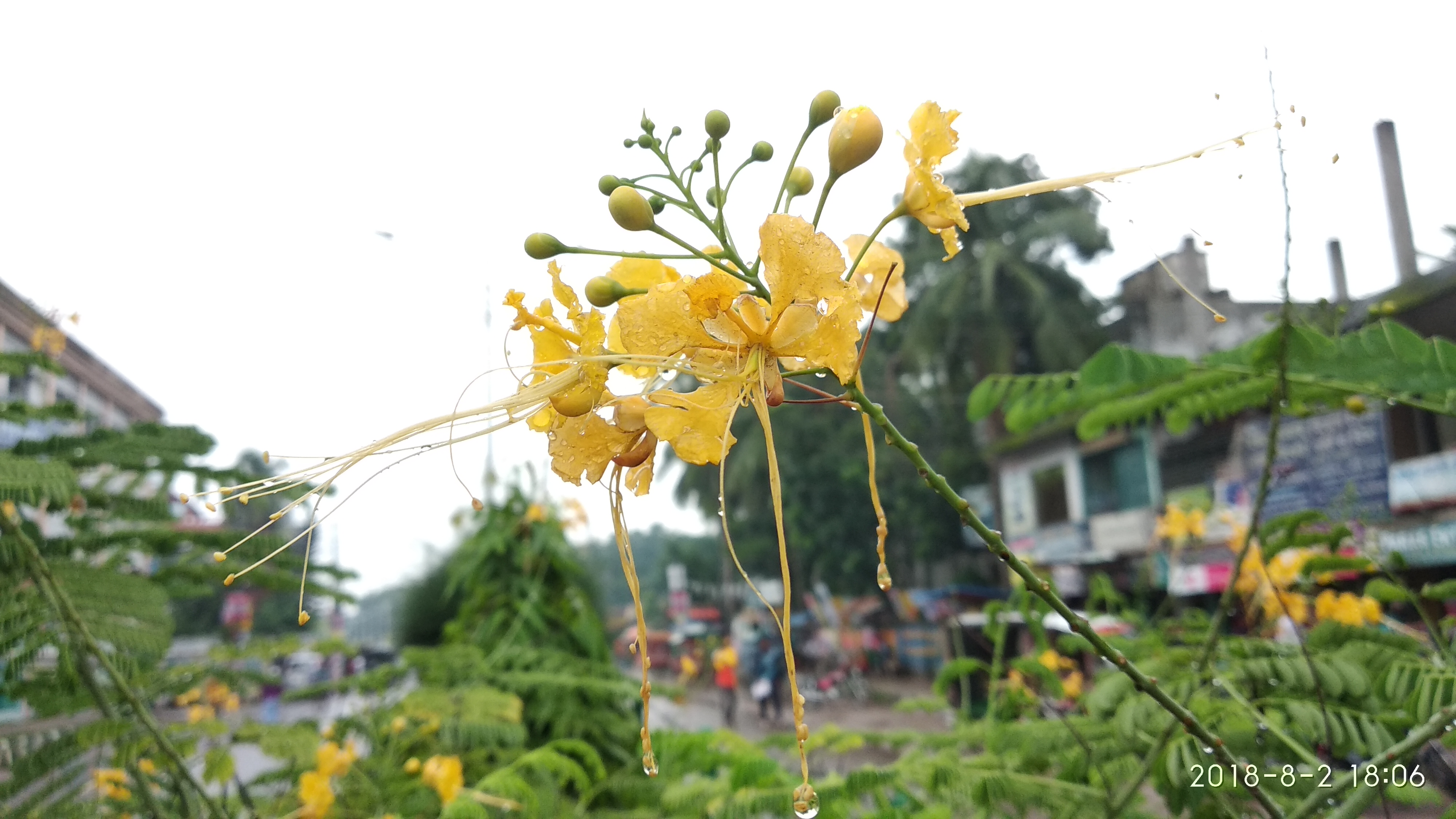
Nature before the eyes of a lunatic
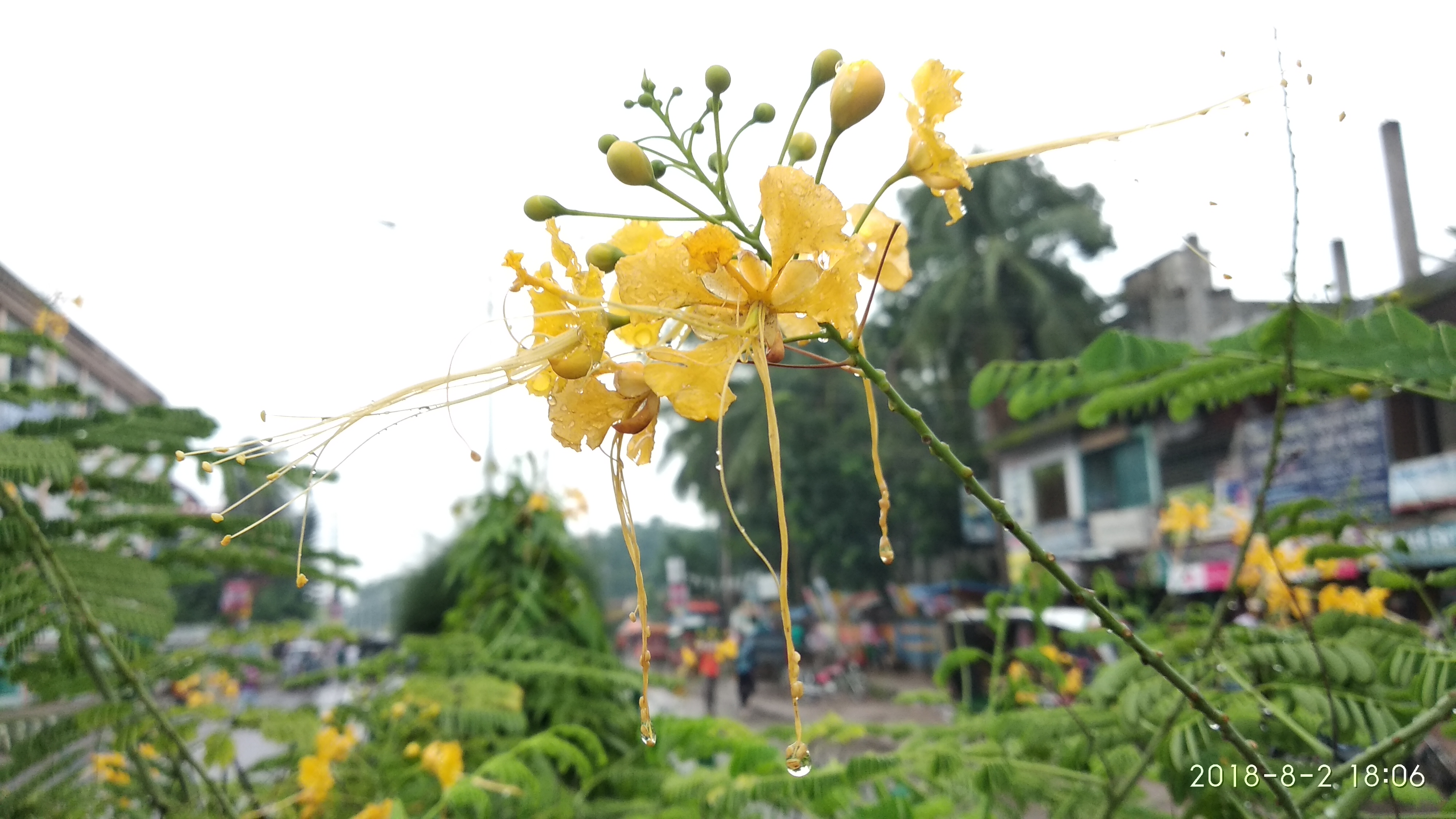
Nature before the eyes of a lunatic
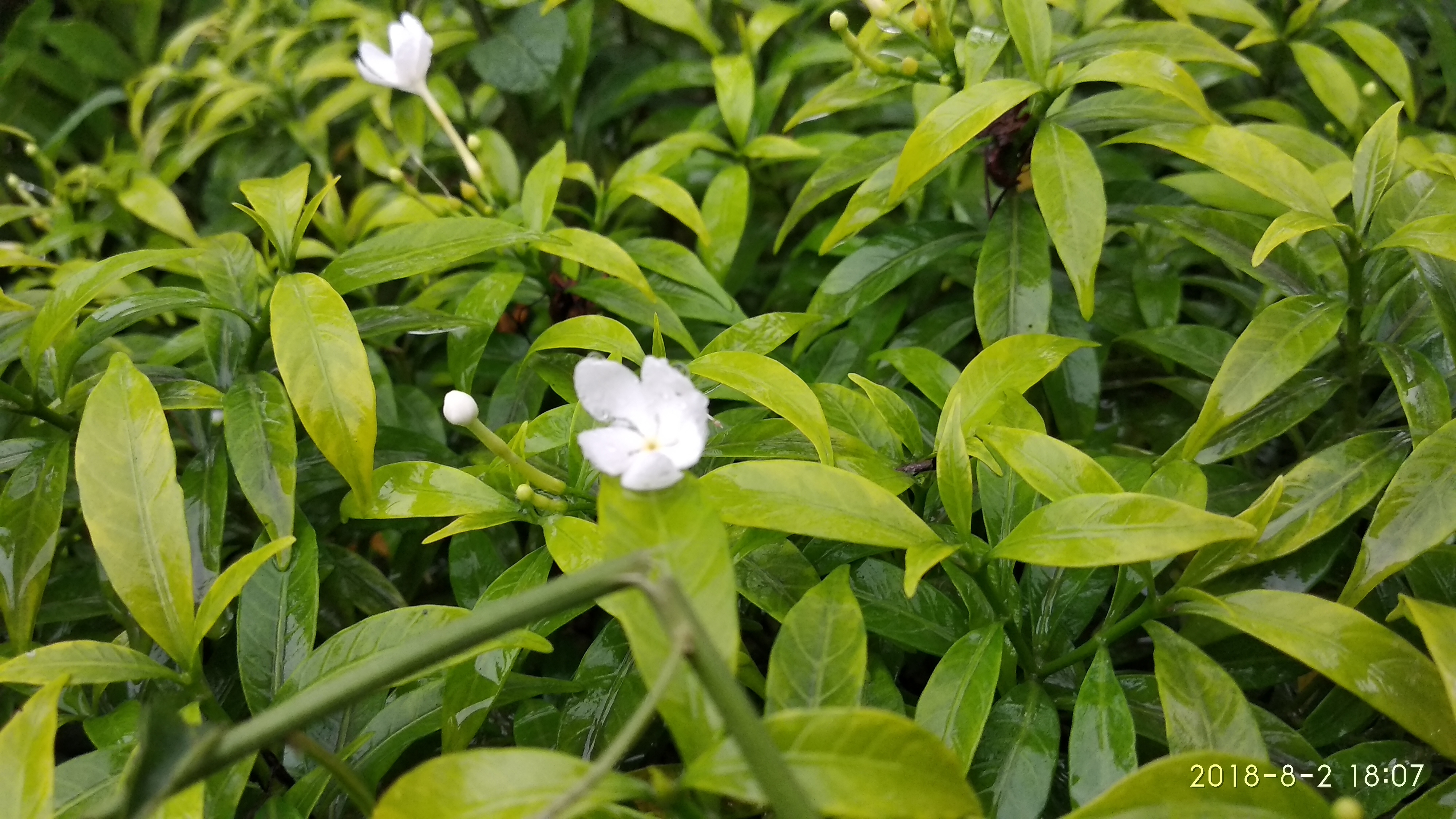
Nature before the eyes of a lunatic
Topographic Map of Phultala Upazila, Bangladesh
Find elevation by address:

Places near Phultala Upazila, Bangladesh:
Arongghata Railway Station
Dighalia Upazila
Arongghata
Digholia Upazila Health Complex, Khulna
Daulatpur
Khulna
Krishna Nagar
Khulna University
Sher-e-bangla Road
Khulna City
Lakshipur
Khulna City Bypass
Batiaghata Bazar
Hantalbunia
Batiaghata Upazila
Narail District
Khulna Division
Khulna District
Jessore
Dacope
Recent Searches:
- Elevation of 72-31 Metropolitan Ave, Middle Village, NY, USA
- Elevation of 76 Metropolitan Ave, Brooklyn, NY, USA
- Elevation of Alisal Rd, Solvang, CA, USA
- Elevation of Vista Blvd, Sparks, NV, USA
- Elevation of 15th Ave SE, St. Petersburg, FL, USA
- Elevation of Beall Road, Beall Rd, Florida, USA
- Elevation of Leguwa, Nepal
- Elevation of County Rd, Enterprise, AL, USA
- Elevation of Kolchuginsky District, Vladimir Oblast, Russia
- Elevation of Shustino, Vladimir Oblast, Russia