Elevation of Phillips Rd, Oak Run, CA, USA
Location: United States > California > Shasta County > Oak Run >
Longitude: -121.95820
Latitude: 40.752741
Elevation: -10000m / -32808feet
Barometric Pressure: 295KPa
Elevation Map:
Satellite Map:
Related Photos:

Sleep Walk

Sandhill Skipper

Remnants of the Past: A California Mining Historical Piece (Part 6)

Took the boat up the river! So much fun! We spent 4 days on the boat and it was a blast. Back to work in a couple days...

Potem Dream

Fountain Fire Vista Point [03.30.13]

Ingot's Afterthought Mine [03.30.13]

Fairytale Land [03.30.13]

Sandhill Skipper

Don't Fence Me In

snowy mountains

Kilarc Reservoir

_8210034.NEF
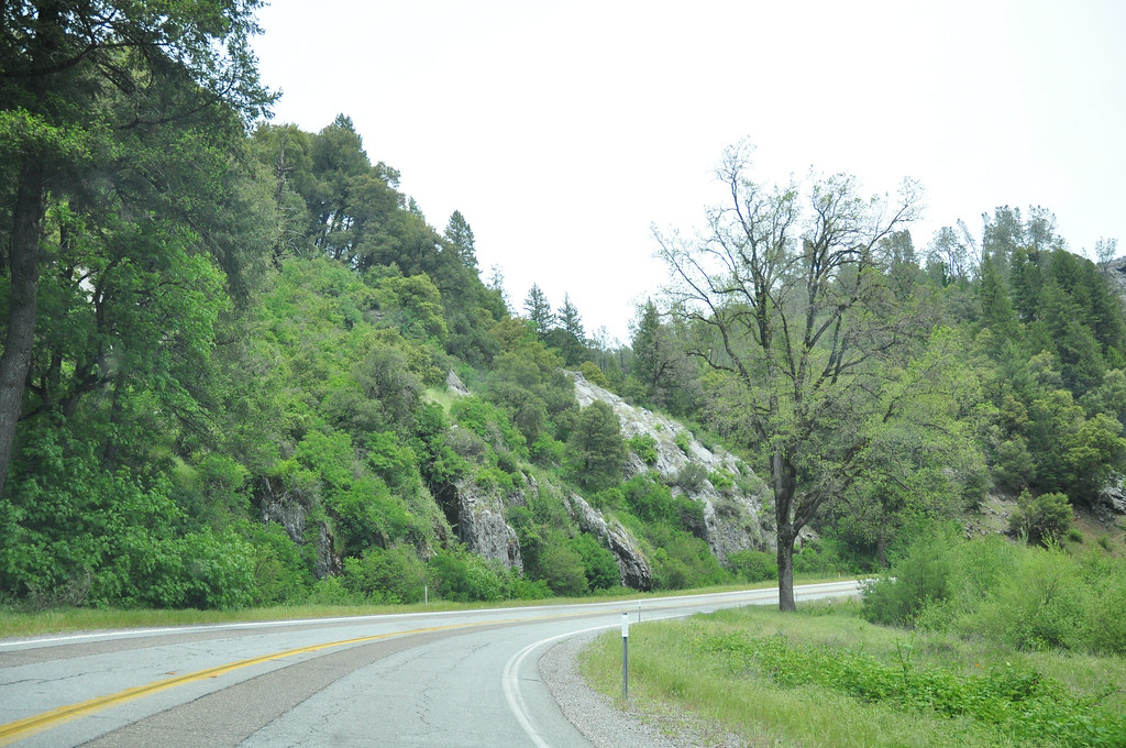
Route 299

Secret Turkey Spot- decoy in place
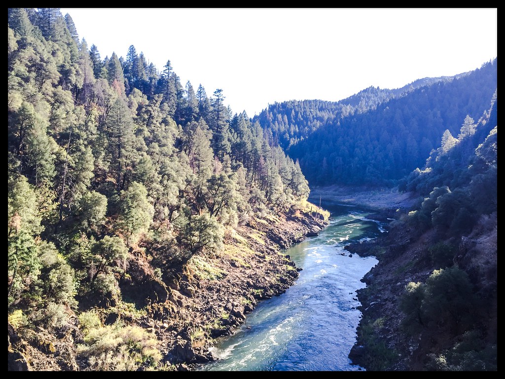
Pit Rivet Arm of Lake Shasta

Mount Shasta
Topographic Map of Phillips Rd, Oak Run, CA, USA
Find elevation by address:

Places near Phillips Rd, Oak Run, CA, USA:
16211 Buzzard Roost Rd
15130 Sherwood Forest Rd
15130 Sherwood Forest Rd
15130 Sherwood Forest Rd
15130 Sherwood Forrest Rd
15130 Sherwood Forrest Rd
15130 Sherwood Forrest Rd
28700 Ca-299
14788 Phillips Rd
30303 Fremont Way
30303 Fremont Way
30057 Smith Logging Rd
30057 Smith Logging Rd
30057 Smith Logging Rd
30057 Rl Smith Logging Rd
14681 Fern Rd E
12847 Fern Rd
12582 Fern Rd
13353 Fern Rd
12855 Fern Rd
Recent Searches:
- Elevation of Fern Rd, Whitmore, CA, USA
- Elevation of 62 Abbey St, Marshfield, MA, USA
- Elevation of Fernwood, Bradenton, FL, USA
- Elevation of Felindre, Swansea SA5 7LU, UK
- Elevation of Leyte Industrial Development Estate, Isabel, Leyte, Philippines
- Elevation of W Granada St, Tampa, FL, USA
- Elevation of Pykes Down, Ivybridge PL21 0BY, UK
- Elevation of Jalan Senandin, Lutong, Miri, Sarawak, Malaysia
- Elevation of Bilohirs'k
- Elevation of 30 Oak Lawn Dr, Barkhamsted, CT, USA