Elevation of Phil Lane, Phil Ln, Cupertino, CA, USA
Location: United States > California > Santa Clara County > Cupertino > Rancho Rinconada >
Longitude: -122.01042
Latitude: 37.3161879
Elevation: 63m / 207feet
Barometric Pressure: 101KPa
Elevation Map:
Satellite Map:
Related Photos:
Perfect view?

IMG_1380 Let Me Feed You, Honey.
Fire breathing dragon
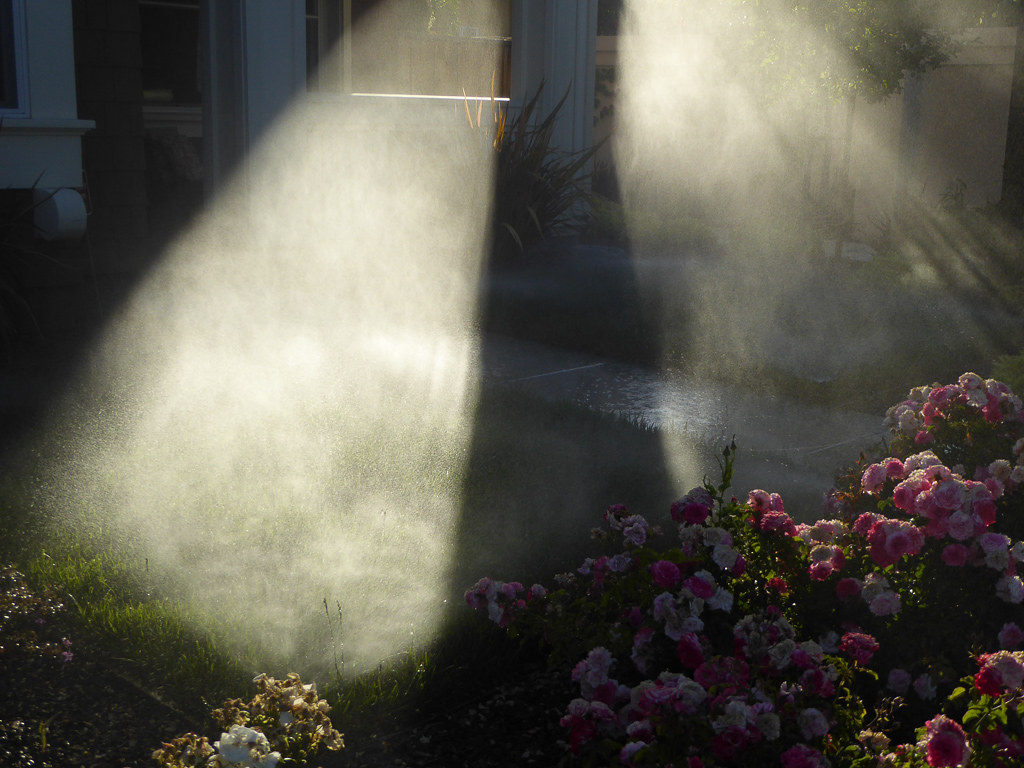
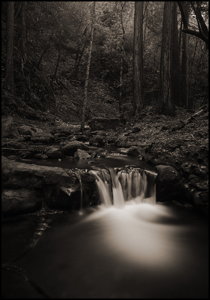
Morning Water

Reaching High

IMG_0173 Here I Come! Mountain View Shoreline Park, CA

Mary Avenue Bridge

teeny tiny

Love On The Rock
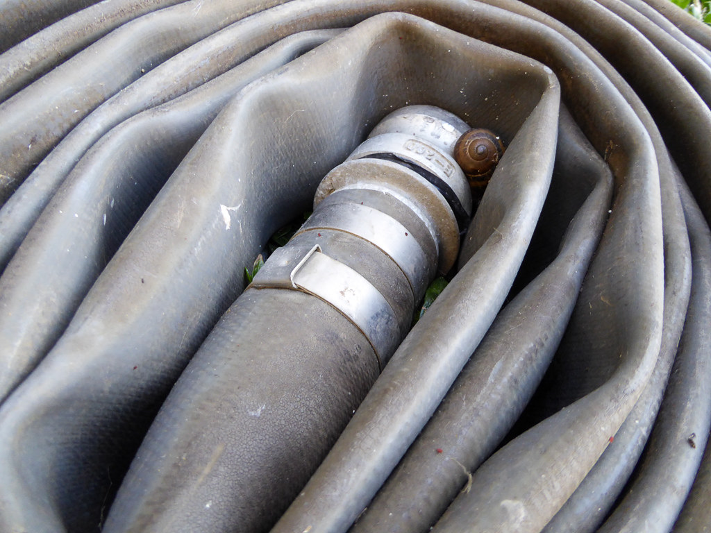
Snail In Hose

DSC01246.JPG
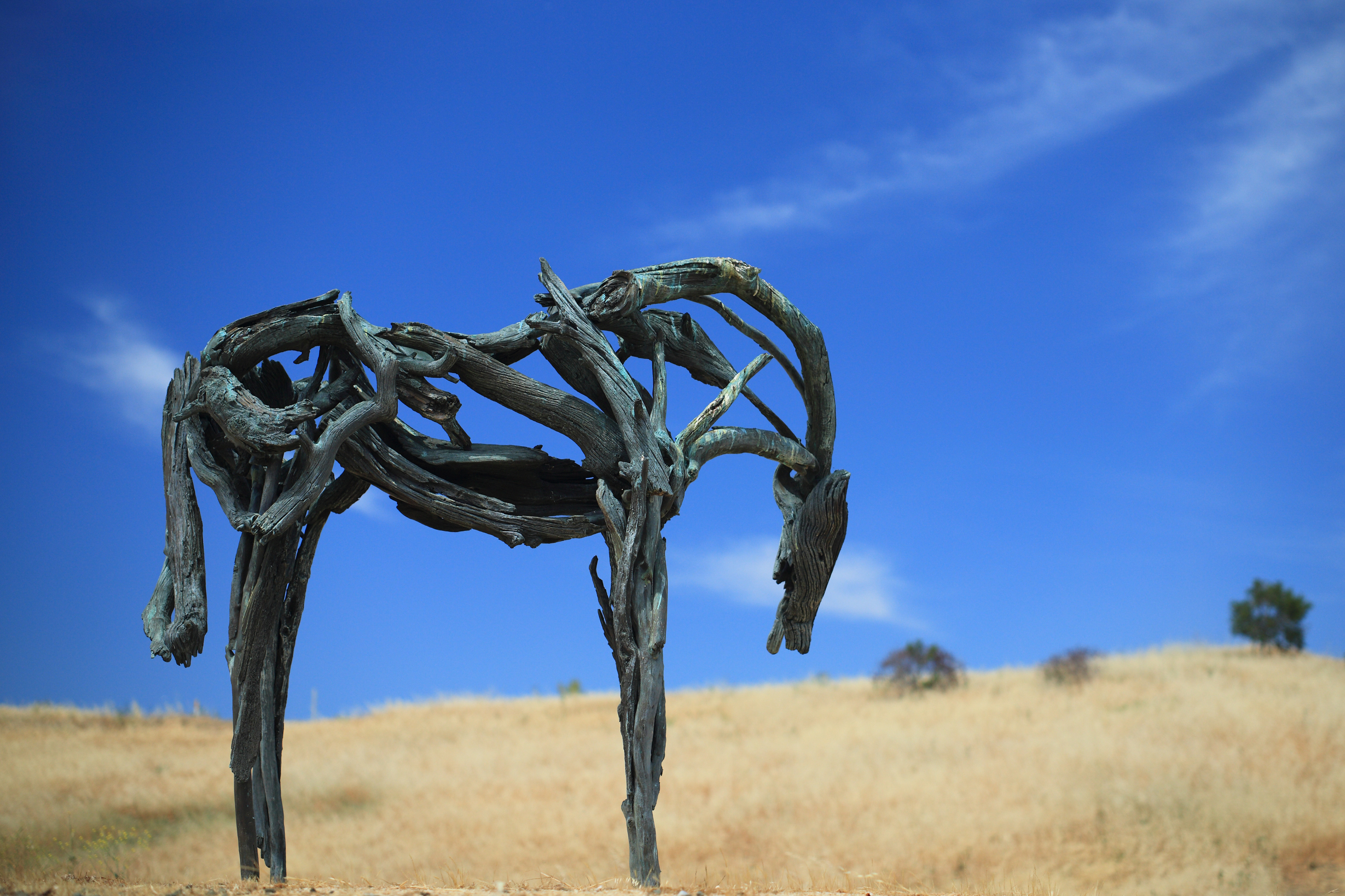
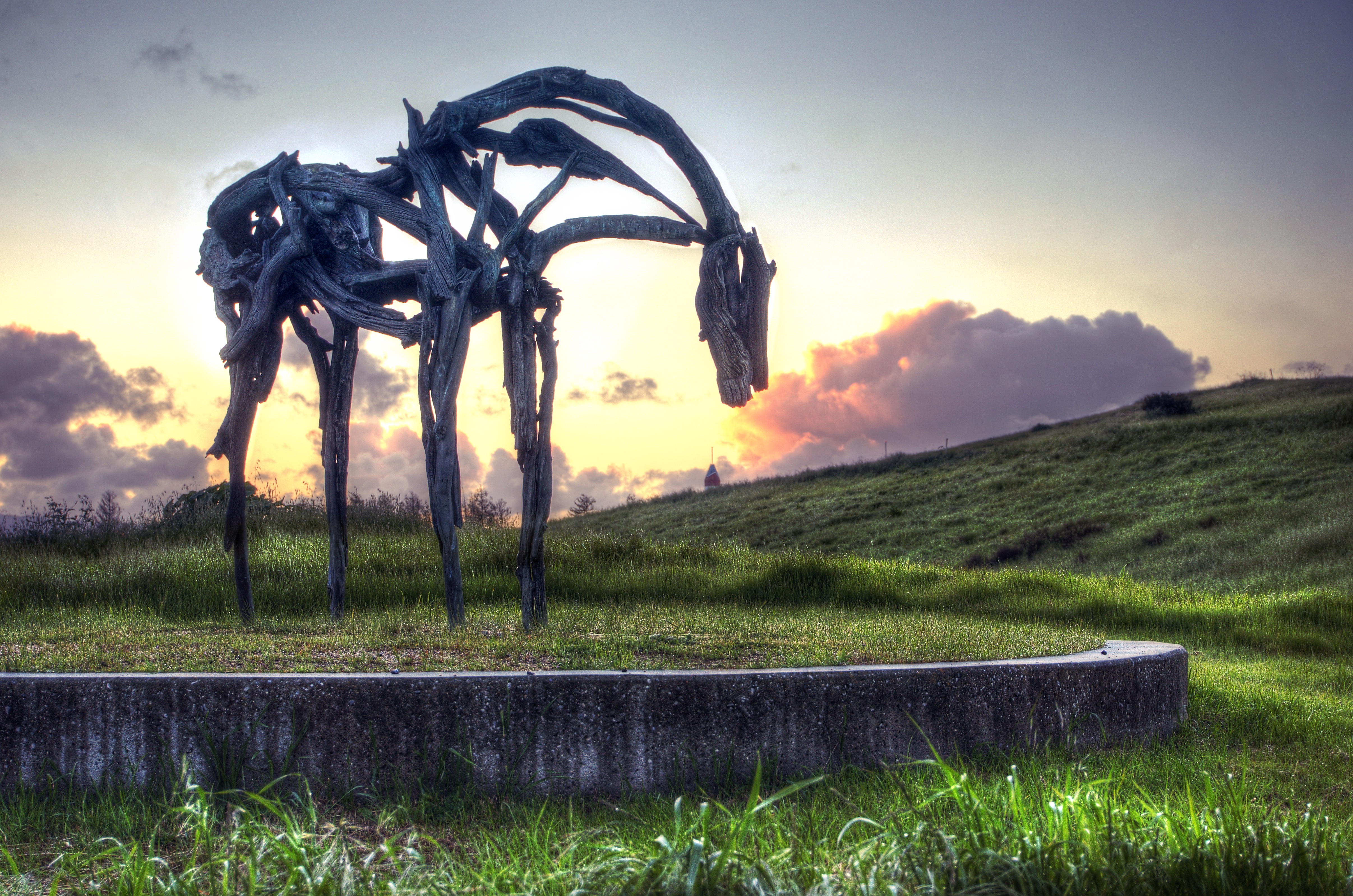
Bronze Horse by Deborah Butterfield
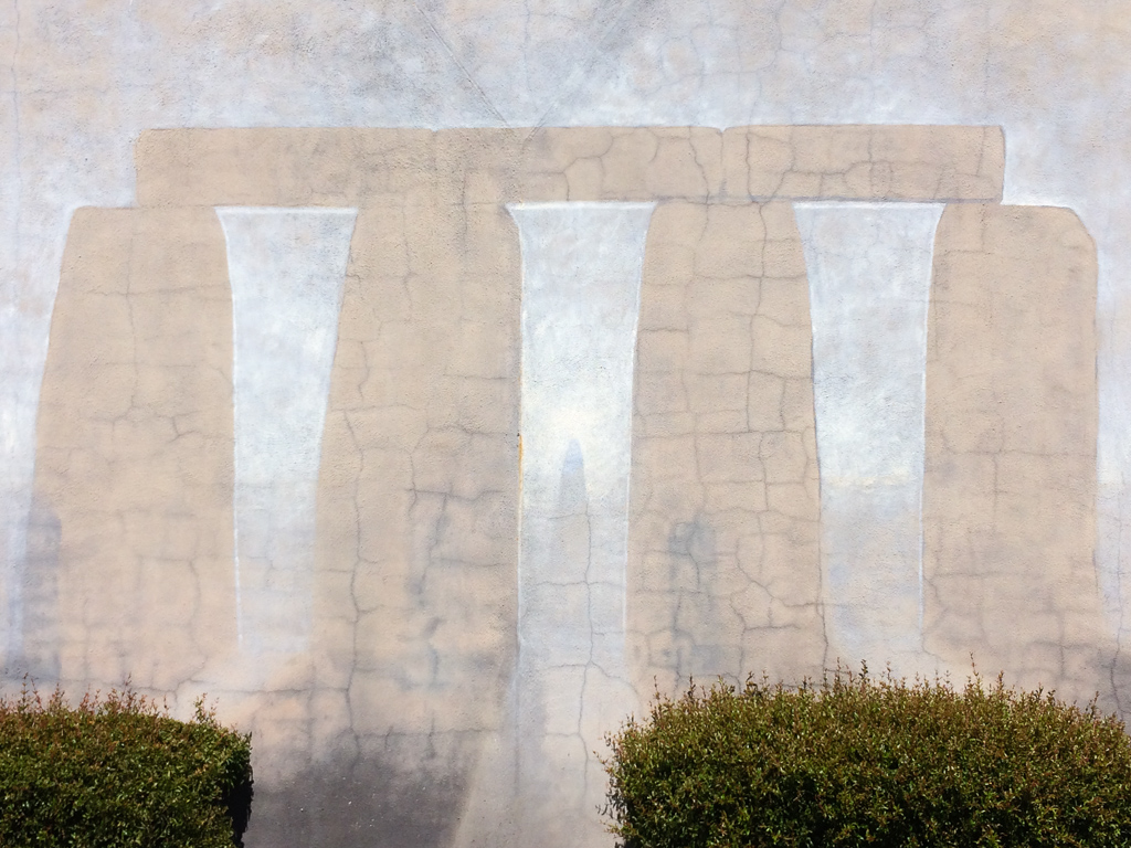
Stonehenge In Mountain View

Color On Weathered Grey
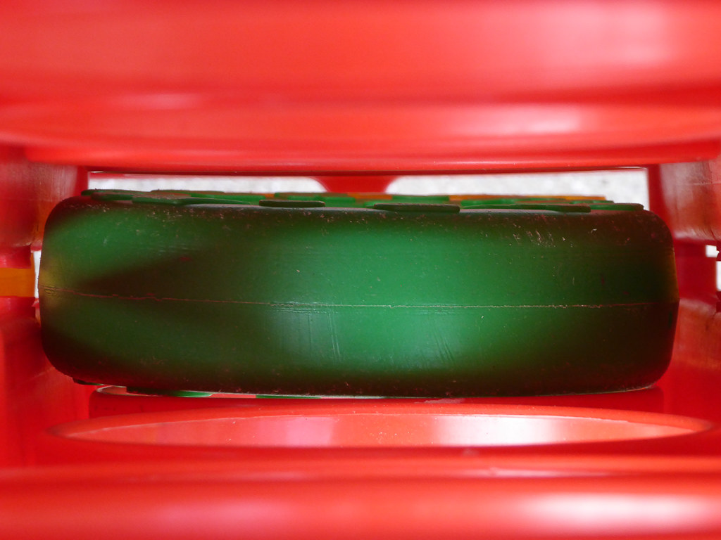
Plastic Lifesaver

Jacaranda Litter

Geese (HSS)
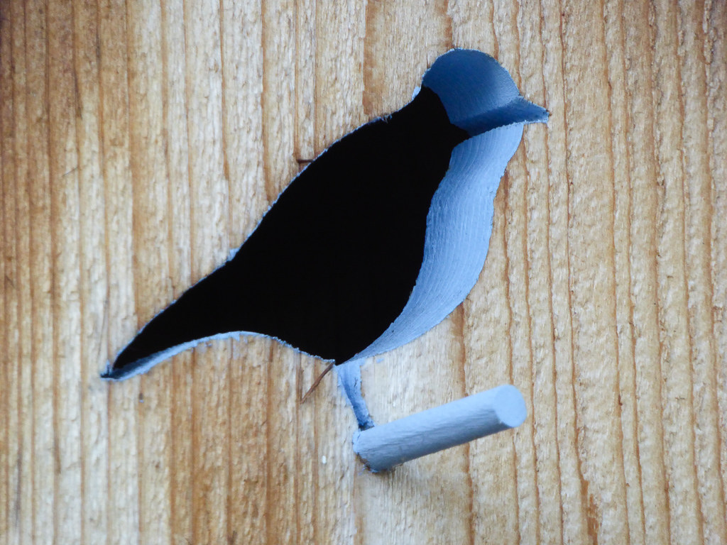
Blue Bird

Apple Juice
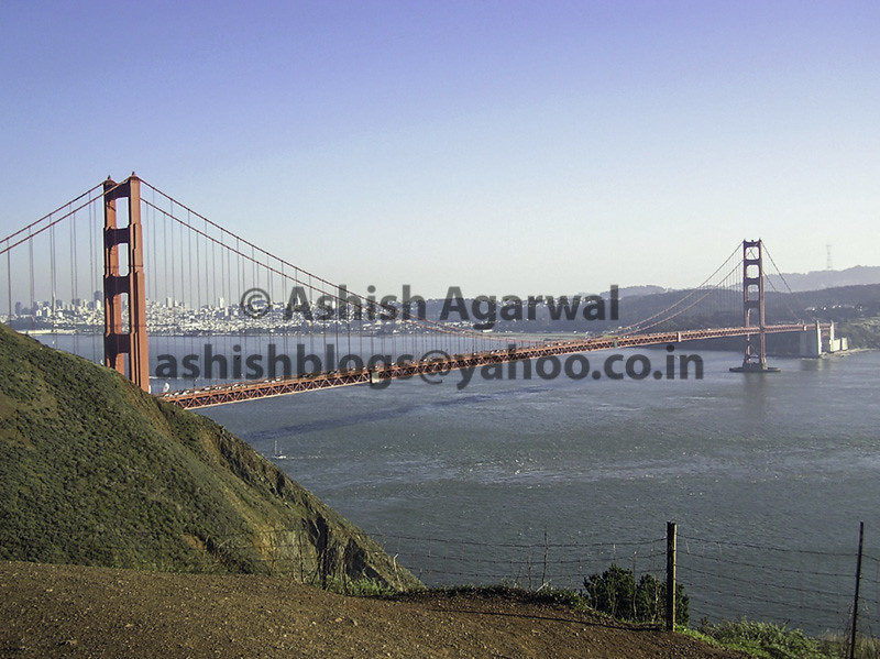
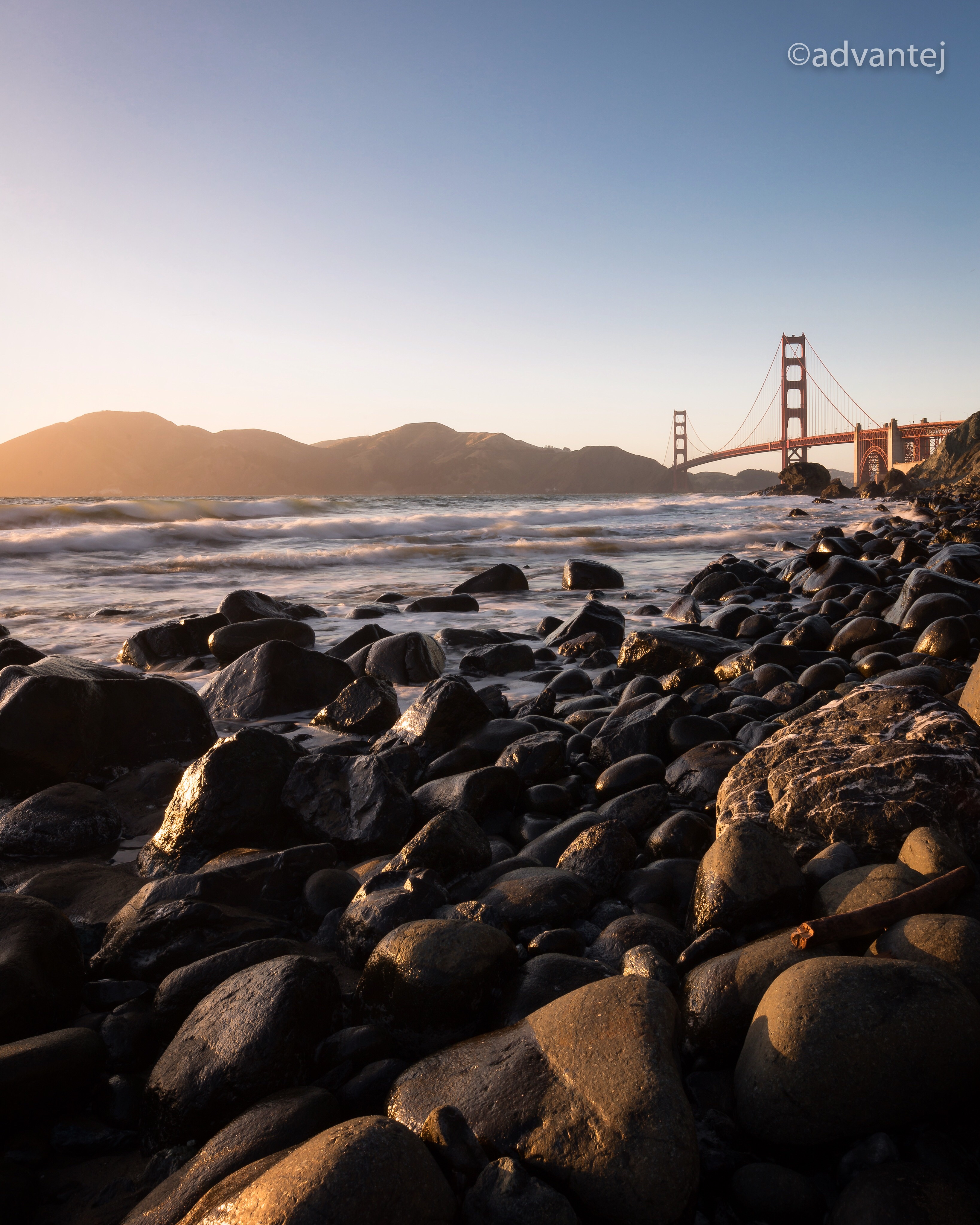
View of the Golden Gate Bridge and San Francisco from a distance
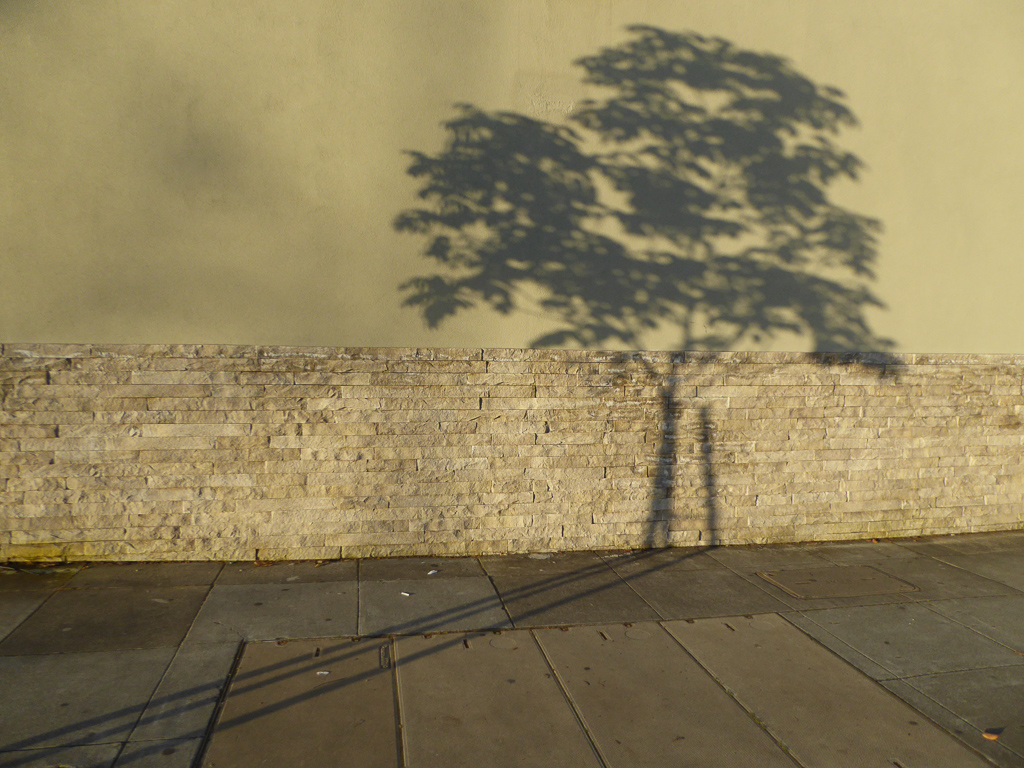
Morning Tree
Somewhere in heaven

Door of opportunities :)
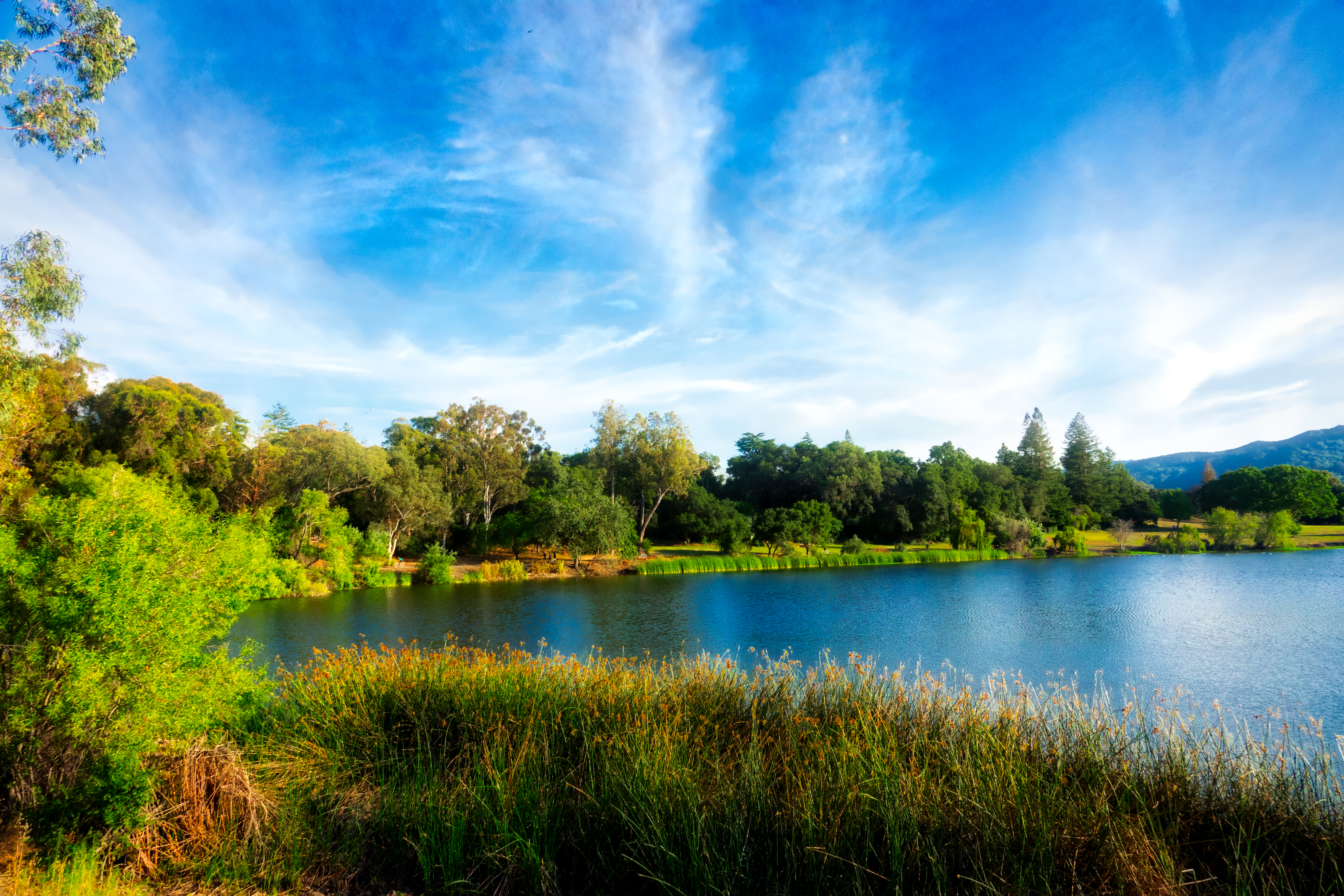
Vasona Lake HDR - Happy Sliders Sunday

Great Long, Slow Day on the LG Creek Trail. The #408 has the best weather in the Bay Area #TeamRunTheBay #RunLocal #GetOnnit #nikeplus

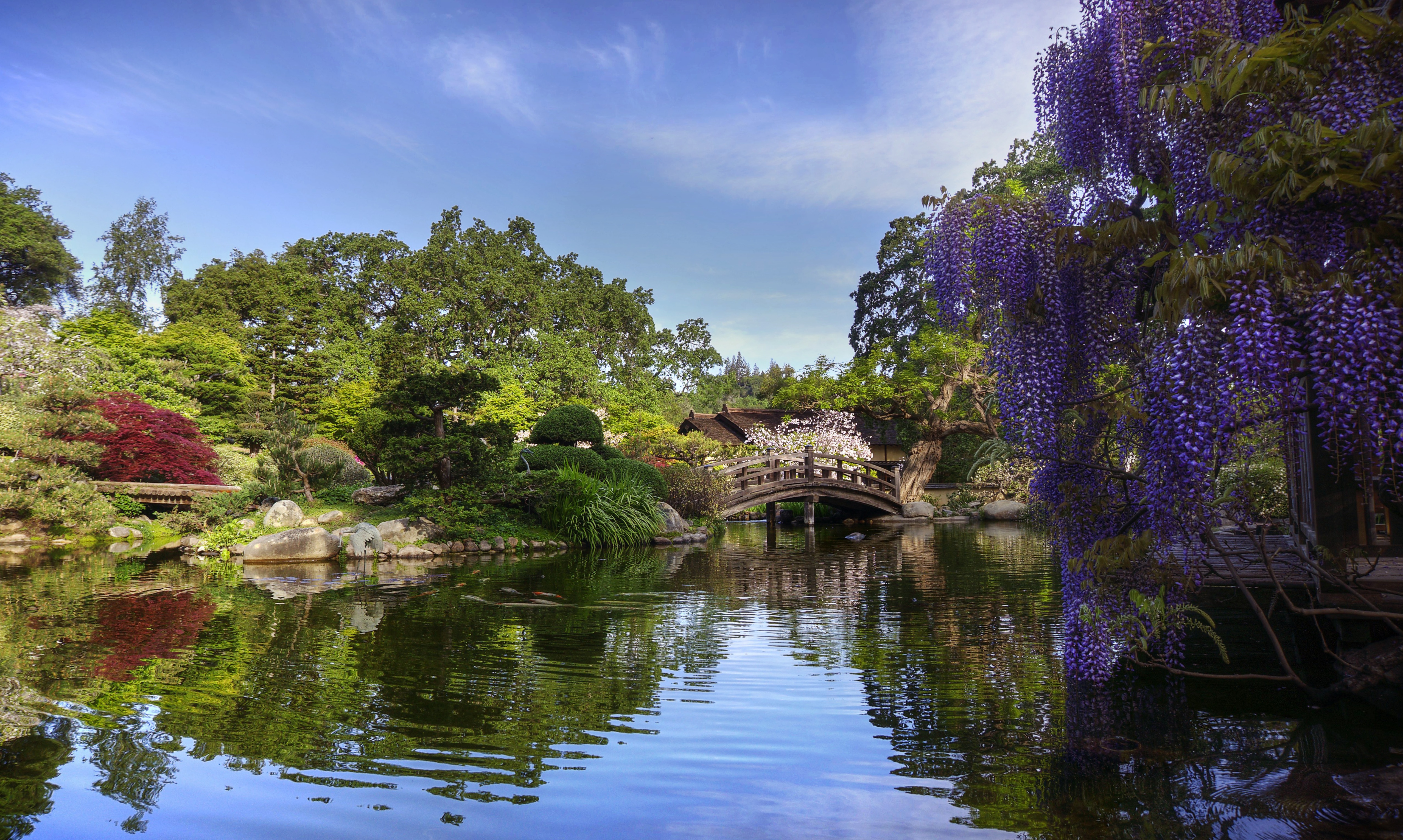
~~Garden of PEACE #2~~
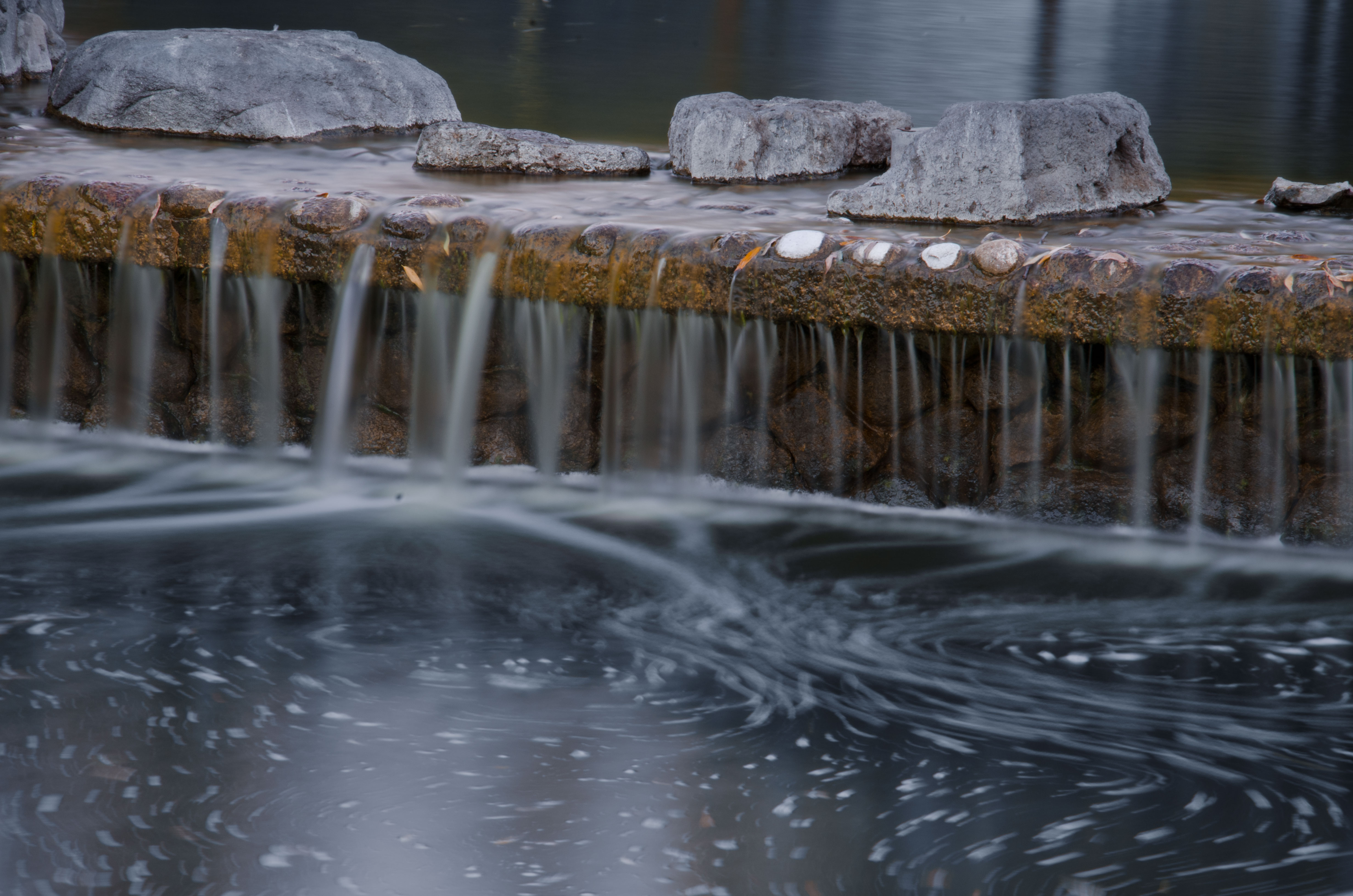
morning light in Saratoga Creek

Clouds at sunset - Happy Sliders Sunday

Trail to Heaven

T-101

My Favorite Tree
Central Park

San Jose, CA

Shade and reflections
trail uphill
what if all the world you think you know is an elaborate dream?
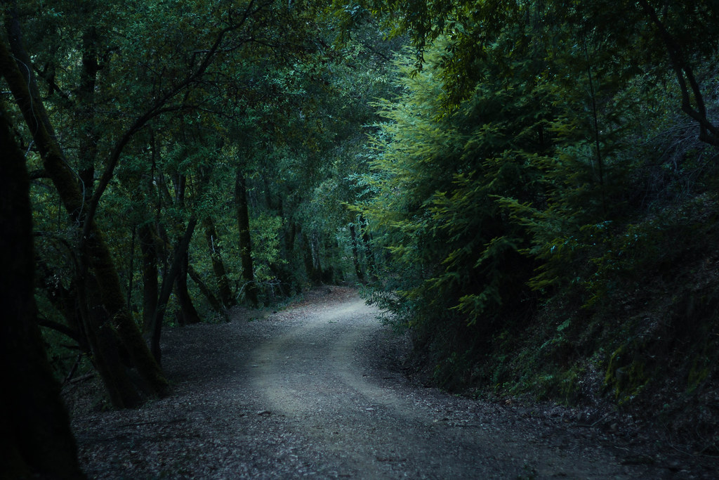
Enchanted Path

There is something about nature that makes me feel happy.

Six. Tonight I reached 100 miles for March, making it 6 months straight of 100+ miles per month. Many runners run a lot more than that per month, but for me, this is a significant achievement. Prior to this streak I had not been able to muster 2 consecuti

Alviso Blue Hour
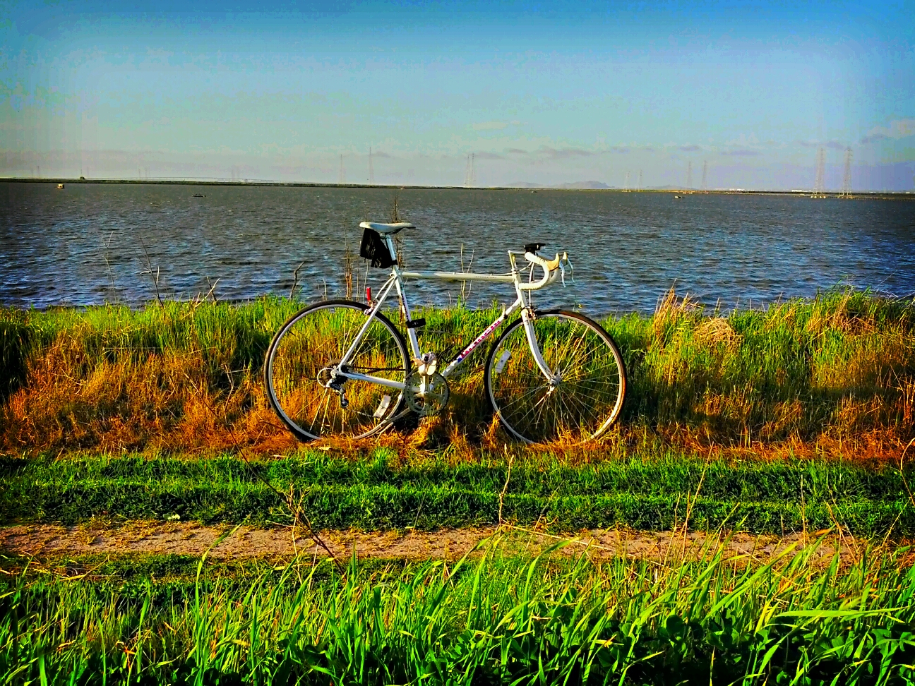
Shoreline Trail
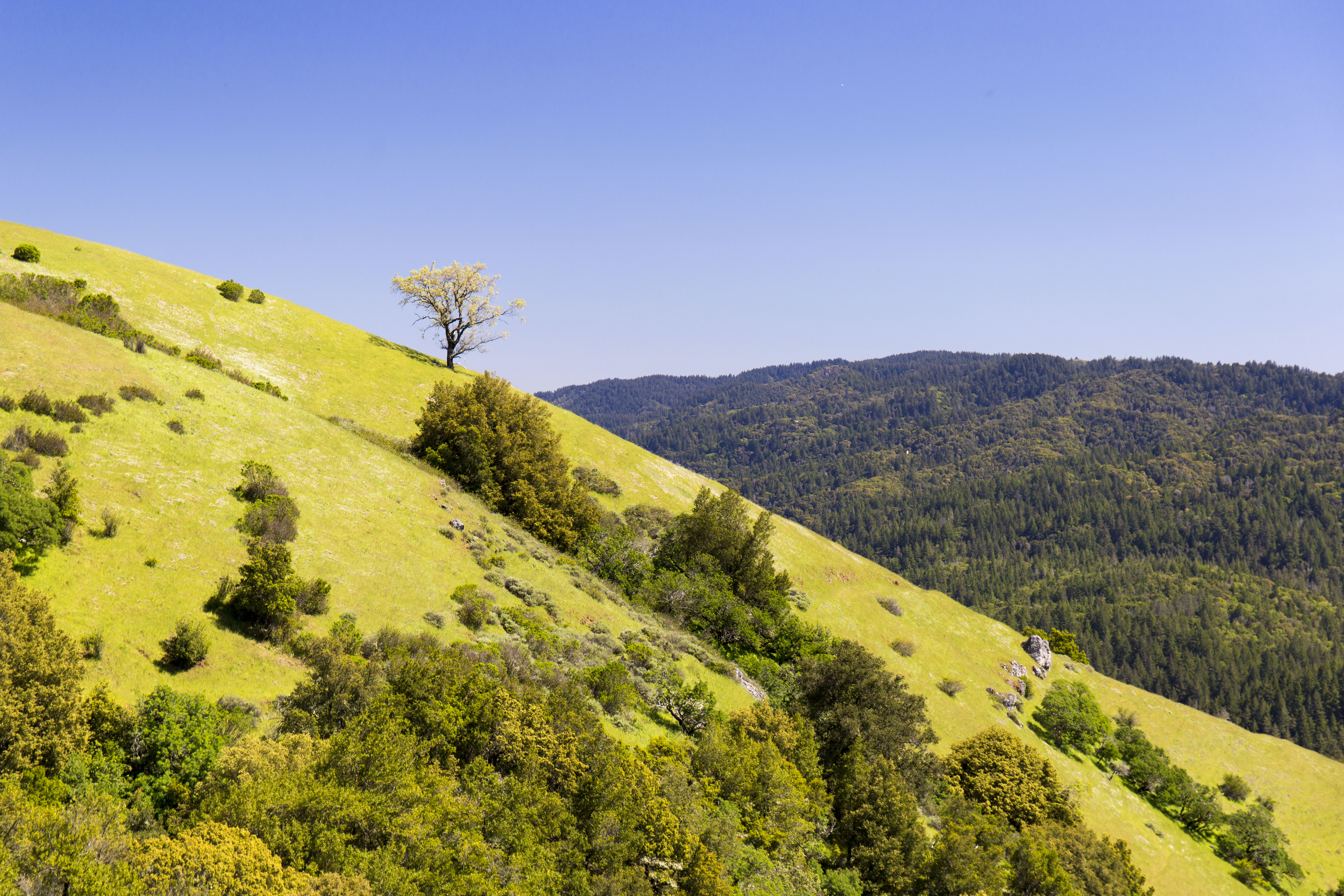
Monte Bello Open Space Preserve
Topographic Map of Phil Lane, Phil Ln, Cupertino, CA, USA
Find elevation by address:

Places near Phil Lane, Phil Ln, Cupertino, CA, USA:
937 Brookgrove Ln
937 Hyde Ave
923 S Tantau Ave
Pendergast Avenue
Rancho Rinconada
10804 Carver Dr
Stevens Creek Boulevard
Arata Way
5612 Stevens Creek Blvd
10190 Calvert Dr
18655 Loree Ave
Bollinger Rd, Cupertino, CA, USA
10600 N Tantau Ave
Pacifica Drive
420 Hillsdale Ave
29900 Olivewood St
3524 Elmhurst Ave
Juniper Hotel Cupertino, Curio Collection By Hilton
Cupertino
10282 Parlett Pl
Recent Searches:
- Elevation of N, Mt Pleasant, UT, USA
- Elevation of 6 Rue Jules Ferry, Beausoleil, France
- Elevation of Sattva Horizon, 4JC6+G9P, Vinayak Nagar, Kattigenahalli, Bengaluru, Karnataka, India
- Elevation of Great Brook Sports, Gold Star Hwy, Groton, CT, USA
- Elevation of 10 Mountain Laurels Dr, Nashua, NH, USA
- Elevation of 16 Gilboa Ln, Nashua, NH, USA
- Elevation of Laurel Rd, Townsend, TN, USA
- Elevation of 3 Nestling Wood Dr, Long Valley, NJ, USA
- Elevation of Ilungu, Tanzania
- Elevation of Yellow Springs Road, Yellow Springs Rd, Chester Springs, PA, USA