Elevation of Phichai District, Uttaradit, Thailand
Location: Thailand > Uttaradit >
Longitude: 100.125516
Latitude: 17.2702191
Elevation: 51m / 167feet
Barometric Pressure: 101KPa
Elevation Map:
Satellite Map:
Related Photos:

Into Infinity

Classic style

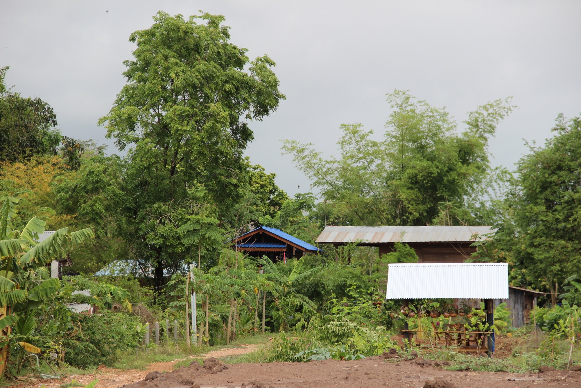
Our home

เรื่อยๆไปจนถึง ????

at Uttaradit

at Uttaradit

at Uttaradit

at Uttaradit

at Uttaradit

at Uttaradit

at Uttaradit

at Uttaradit

Portrait of a station - Phichai - Tempel and bus

พิชัย โทรศัพท์ - Phichai Telephone

ดอกกุหลาบ

Classic style
Classic style

Thai shop

Thai shop

Classic style

Classic style and sala
Topographic Map of Phichai District, Uttaradit, Thailand
Find elevation by address:

Places near Phichai District, Uttaradit, Thailand:
Phrom Phiram District
Tron District Agriculture Office
ที่ว่าการอำเภอพรหมพิราม
Phrom Phiram
Wat Bot District
Wat Bot
Thong Saen Khan District
Uttaradit
Wat Bot District Office
District Uttaradit
Uttaradit Provincial Hall
Laplae District
Pa Daeng
ที่ว่าการอำเภอชาติตระการ
Phitsanulok
Chat Trakan District
Sirikit Dam
Nakhon Thai
Nakhon Thai District Office
Nam Pat District
Recent Searches:
- Elevation of Lampiasi St, Sarasota, FL, USA
- Elevation of Elwyn Dr, Roanoke Rapids, NC, USA
- Elevation of Congressional Dr, Stevensville, MD, USA
- Elevation of Bellview Rd, McLean, VA, USA
- Elevation of Stage Island Rd, Chatham, MA, USA
- Elevation of Shibuya Scramble Crossing, 21 Udagawacho, Shibuya City, Tokyo -, Japan
- Elevation of Jadagoniai, Kaunas District Municipality, Lithuania
- Elevation of Pagonija rock, Kranto 7-oji g. 8"N, Kaunas, Lithuania
- Elevation of Co Rd 87, Jamestown, CO, USA
- Elevation of Tenjo, Cundinamarca, Colombia