Elevation of Phelps Cir Dr, Cloudcroft, NM, USA
Location: United States > New Mexico > Cloudcroft >
Longitude: -105.74049
Latitude: 32.954792
Elevation: -10000m / -32808feet
Barometric Pressure: 295KPa
Elevation Map:
Satellite Map:
Related Photos:
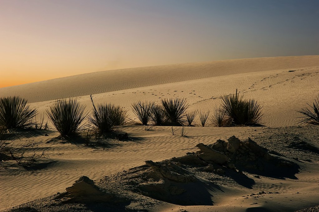
Desert life

20 Years

Shopkeeper's Guard
Mexican Canyon Trestle

Fresnal Canyon

Van Grafitti

New Mexico Sunset via glasses

Kutters at the Lodge

Group at Dinner

"That's some bad hat"

View from the Tunnel Vista Observation Site on Hwy. 82 in the Sacramento Mountains of New Mexico.

More Hanging out

Hanging out at the Texas Pit

Post-dinner Guitar Hero

Dining Entertainment

The Whole Group at the Lodge

New Mexico looking West.

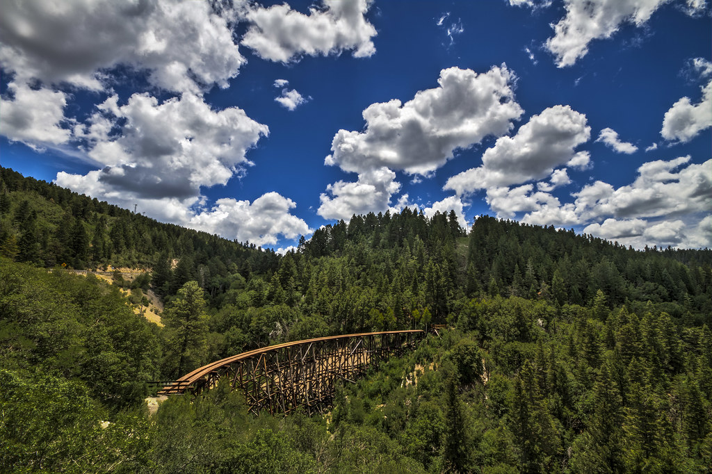
Mexican Canyon Trestle Bridge

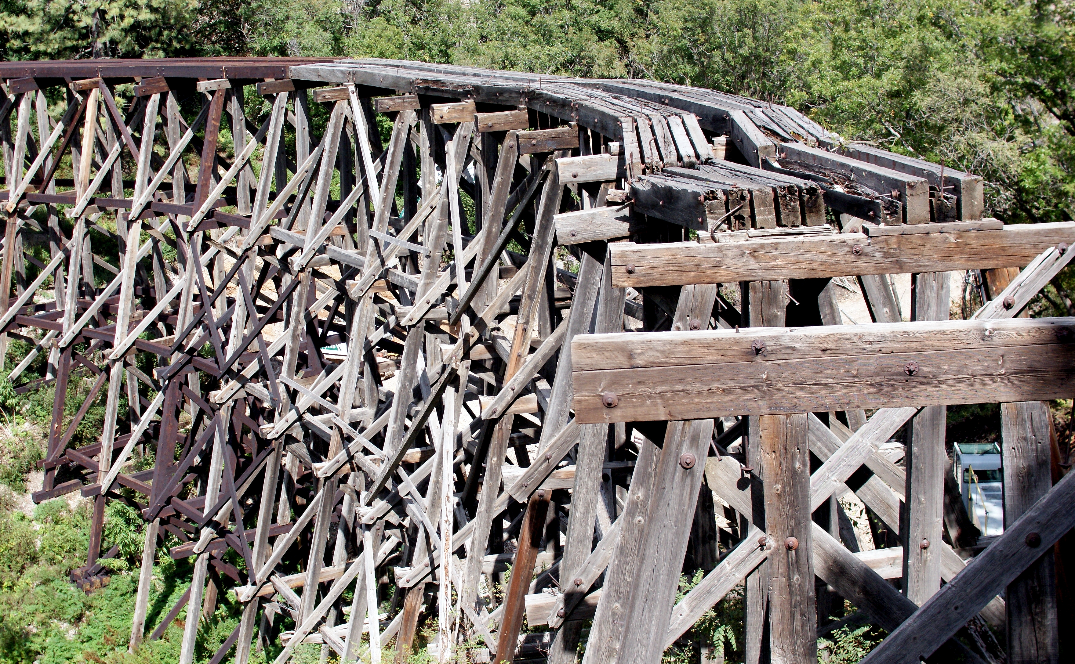
Mexican Canyon Trestle
Alamogordo and Sacramento Mountain Railroad 3215a
Mexican Canyon Trestle from the lookout

launch is just left of center on the ridge

isolated trestle

looking for lift

Dry Canyon launch

a wrinkle in time

Bridal Veil Falls

Rocky ledges

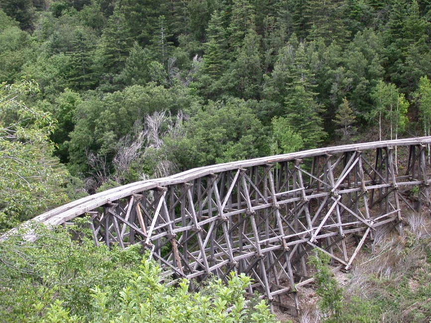
Railroad Tressel outside Cloudcroft, NM

Lincoln National Forest
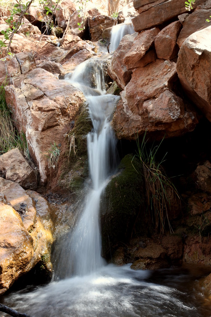
Bridal Veil Falls

La Luz Creek

Acoma, sky city New Mexico
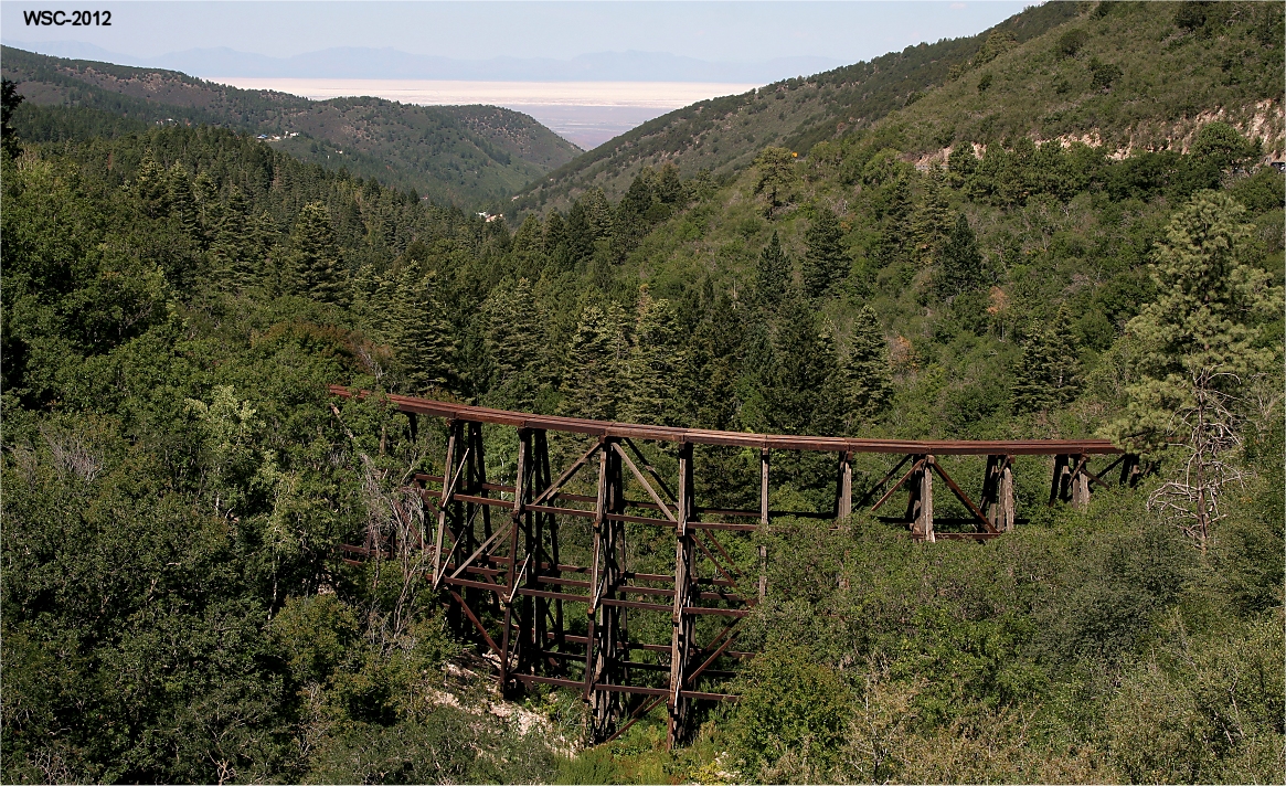
Cloudcroft trestle
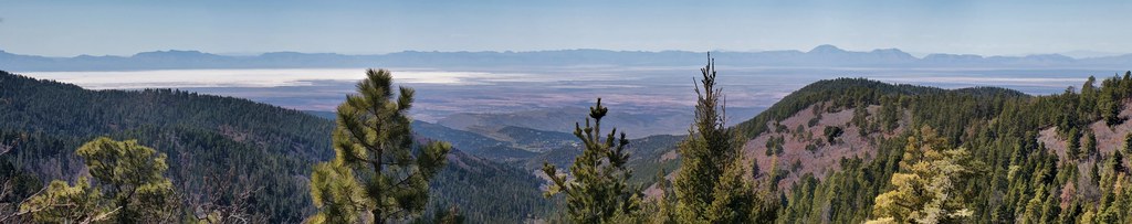
Tularosa Valley
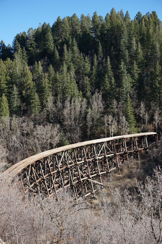
Mexican Canyon Trestle

White Sands from the Eastern Mountains.

Tularosa Basin Pano

White Sands, New Mexico

Sacramento Mountains
Topographic Map of Phelps Cir Dr, Cloudcroft, NM, USA
Find elevation by address:

Places near Phelps Cir Dr, Cloudcroft, NM, USA:
609 7th St
Cloudcroft
The Lodge
904 Burro Ave
800 Geronimo St
800 Geronimo St
1003 Geronimo St
Apache Drive
202 Muchachita Ave
1210 Maple Dr
Sleepy Grass Campground
26 Spruce Trail
Saddle Campground
7 Ponemah Dr
Wofford Lookout
6 Spruce Meadow Ave, Cloudcroft, NM, USA
61 Ridge Rd
61 Ridge Rd
134 Haynes Canyon Rd
Crestview Drive
Recent Searches:
- Elevation of Fern Rd, Whitmore, CA, USA
- Elevation of 62 Abbey St, Marshfield, MA, USA
- Elevation of Fernwood, Bradenton, FL, USA
- Elevation of Felindre, Swansea SA5 7LU, UK
- Elevation of Leyte Industrial Development Estate, Isabel, Leyte, Philippines
- Elevation of W Granada St, Tampa, FL, USA
- Elevation of Pykes Down, Ivybridge PL21 0BY, UK
- Elevation of Jalan Senandin, Lutong, Miri, Sarawak, Malaysia
- Elevation of Bilohirs'k
- Elevation of 30 Oak Lawn Dr, Barkhamsted, CT, USA