Elevation of Pewsey SN9 5PS, UK

Location: United Kingdom > Wiltshire >

Longitude: -1.8525222

Latitude: 51.3494484

Elevation: 124m / 407feet

Barometric Pressure: 100KPa

Elevation Map:

elevation map of Pewsey SN9 5PS, UK

Satellite Map:

Satellite map of Pewsey SN9 5PS, UK

Related Photos:

grass natural color calm peaceful nature panorama trees plant tree photography sky wallart geotagged photo yellow tranquil prints landscape country plants mountain european mountains view gold landscapes outdoor outside clouds scenic countryside fineart colorful scenery print travel cloud outdoors depth colors green photograph europe horizontal field onsale
Pewsey Downs - Wiltshire, England - Fine art photography
sainfoin flower poppy field hill tree hillfort wiltshire landscape roundway northwessexdowns aonb onobrychisvicifolia
Sainfoin and landscape view on Roundway Hill
wiltshire ridgeway westkennet avenue avebury landscape northwessexdowns aonb unesco worldheritagesite
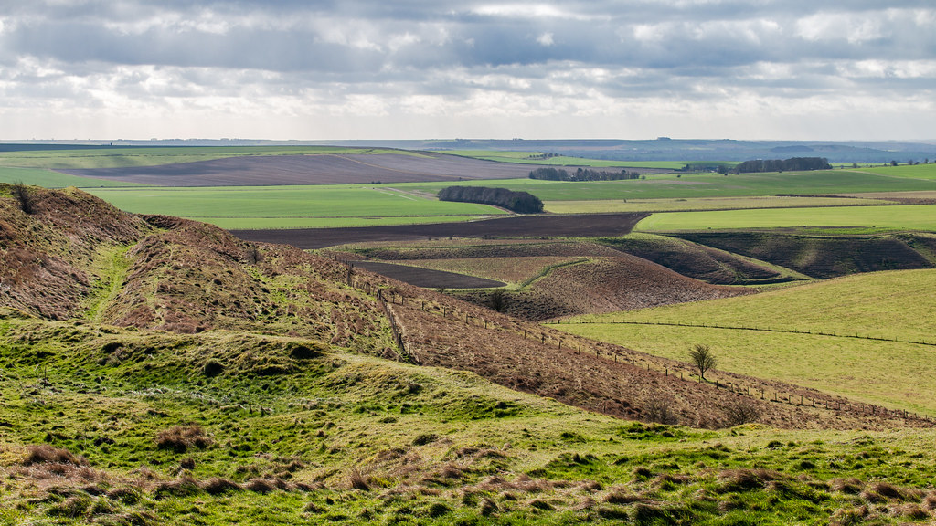
North Wessex Downs landscape in Wiltshire
landscape milkhill cliffordshill pewseydowns valeofpewsey farming field sky sport parascending canopy sail hillside wind uplift updraft
Landscape view from Milk Hill
ridgeway smeathesridge northwessex aonb landscape autumn trees woodland wiltshire
Ridgeway view
wiltshire landscape roundway field farm vista hill
Wiltshire fields
ridgeway smeathesridge northwessexdowns aonb wiltshire landscape valley road jumps trees woodland sky
View from Smeathe's Ridge
wiltshire pewsey downs hill grass field landscape aonb northwessex areaofoutstandingnaturalbeauty tree sky
Pewsey Downs
silburyhill westkennetlongbarrow westkennet ancientlandscape rituallandscape aveburycomplex petermiles petermiles pentaxk5ii tamronaf70300mmf456ldmacro12 landscape wiltshire
'A Ritual Landscape' (see description)
aveburymanor avebury nationaltrust
Avebury Manor
wiltshire landscape oare hill hillfort rampart bank ditch promontory hilltop panorama gate fence stile footpath northwessex downs aonb
Giant's Grave on Oare Hill
devizes kennetandavoncanal water jainbow holiday
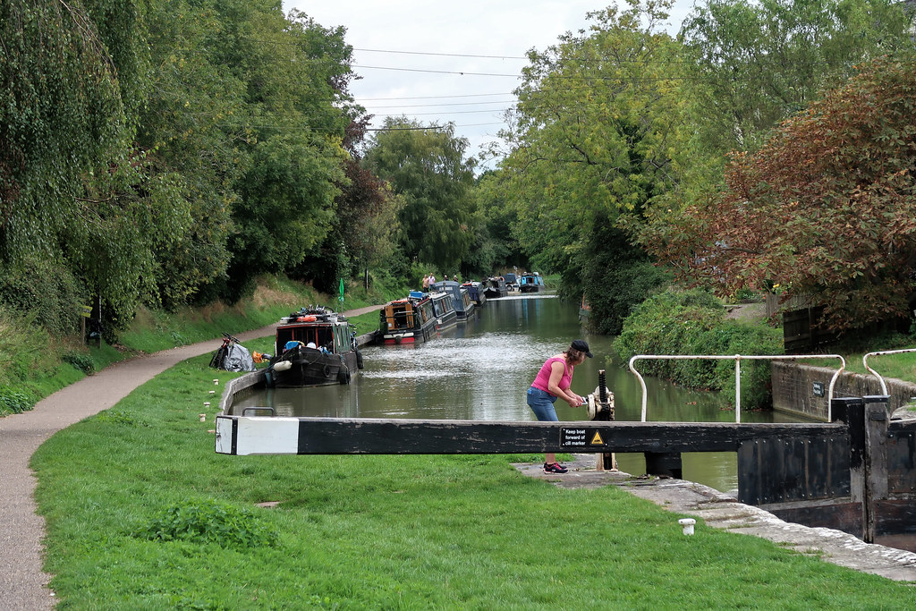
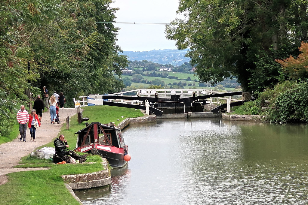
The Kennet and Avon Canal
pewseyvale sunrise wiltshire wilts mist misty martinsellhill tree trees valeofpewsey
... Through the oblong window ...
wiltshire landscape trail footpath waymark whitehorse fence post grass field sky
White Horse Trail
wiltshire landscape northwessexdowns aonb
Pewsey Downs
caenhill flight locks canal kennetandavoncanal devizes jainbow
Caen Hill Flight
jaketurner jrturnerphotography canon canon5dmarkiii canon5d canon5d3 canon1635mmf4lis canon1635mm wideanglelens picture image print photo photography photographer photograph landscape landscapephotography nature pewseyvale valeofpewsey martinsellhill martinsellhillfort martinsell northwessexdowns wiltshire wiltshiredowns westcountry southwest england uk unitedkingdom gb greatbritain britain british europe eu countryside britishcountryside house farm farming farmland fields hedgerows trees smoke mist fog sunrise sunny sunrays sun winter january longshadows goldenhour goldenlight frost frosty ice bench view
A Fine View
G-17354 59201 7A09 @ Brimeslade 3
wiltshire vista farmland field woodland tree hill poppies grass wheat landscape roundway explore
Wiltshire view
View from Potterne Field
cropcircle crop circle djimavicpro hackpenhillcropcircle cropcirclehackpenhill2018 cropcircle2018 petermiles
‘Temporary Golden Temple’ (see description)
avebury stonecircle henge sarsen standing neolithic wiltshire england uk ancient monument pagan bank field outdoor archaeology
Avebury World Heritage Site
texture field barley landscape
Fields of Gold
avebury wiltshire uk sunset standing stone prehistoric site andreapucci
Le pietre misteriose / The mysterious stones (Avebury, Wiltshire, United Kingdom)
meadow agriculture menhir sarsenstone flowers gate yellow green contrast uk england wiltshire avebury nationaltrust walking fz200 rapeseedfield standingstone
Landscape With Menhir [Explored]
hillfort oldbury castle landscape cherhill downs calstone wessex aonb wiltshire ditch hill grass field tree sky
Oldbury Castle hill fort
devilsden dolmen burialchamber archaeology antiquity landscape wiltshire
Devil's Den dolmen
silbury hill landscape wiltshire grass field tree ancient prehistoric monument flower unesco
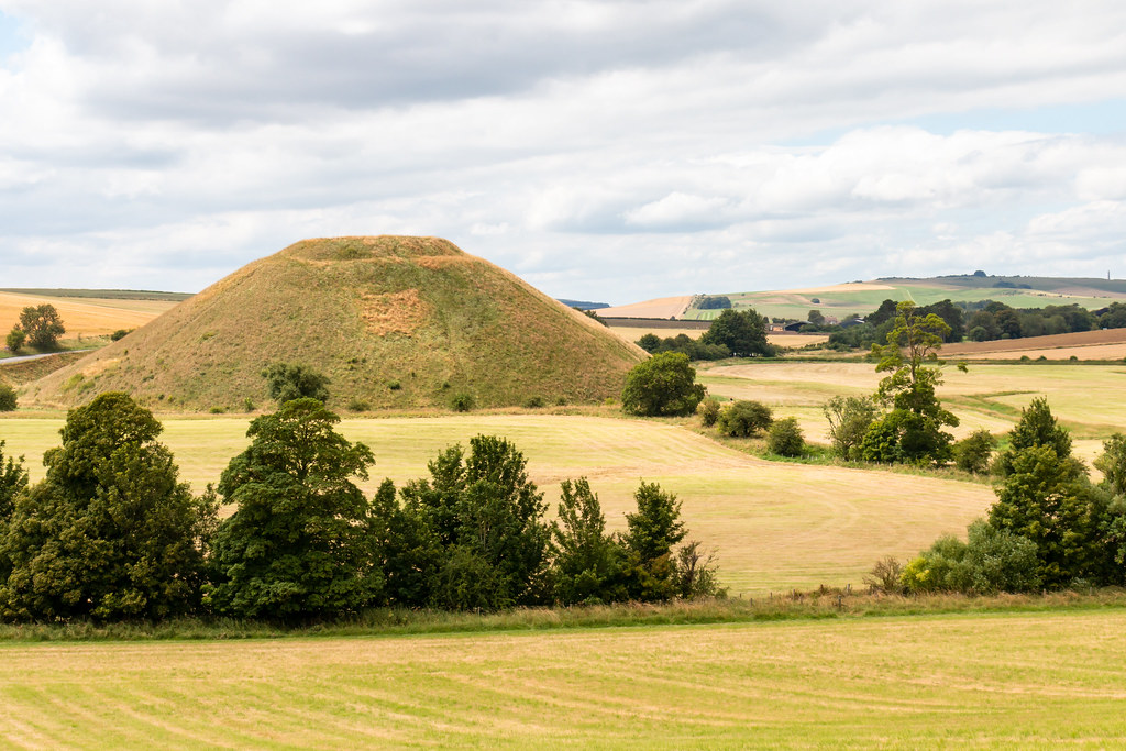
Silbury Hill after haymaking
wiltshire landscape northwessex aonb convergence leadinglines vanishingpoint byway field barley tree worldheritagesite avebury barrow pastoral unesco
Convergence on a Wiltshire Byway
oliverscastle wiltshire northwessexdowns aonb landscape hillfort convoluted hillside roundway devizes
Oliver's Castle Hill Fort from Beacon Hill
avebury neolithic henge monument
Avebury Neolithic henge monument.jpg
harvest line pattern
Birds with hay bales in the farm.
tumulus barrow burial mound ancient neolithic avebury ridgeway unesco worldheritagesite beech tree landscape wiltshire
Beech copses on ancient Tumuli
castle landscape nikon path swindon wiltshire ridgeway barbury d7100 silverefex
Ridgeway from Barbury Castle
june 2020 flickr estrellas swindon wilts wiltshire storm stormy aftermath weather colour color hill hills landscape thunder lightning nikon z6 samyang 14mm clouds cloud cloudy wet best ngc barbury hackpen photo photograph meaning rain awesome flickrestrellas nuclear chippenham mushroom burst light stormscape
Nuclear Storm
devil den dolmen burial stone standing capstone rock sarsen sandstone ancient antiquity remains landscape grass field earth barn fence sky fyfielddown hill marlborough wiltshire
Devil's Den
summer fineweather cattle animals grazing grass field fyfield downs landscape wiltshire tree
A fine day for grazing