Elevation of Pete Creek Rd, Flag Pond, TN, USA
Location: United States > Tennessee > Unicoi County > Flag Pond >
Longitude: -82.592035
Latitude: 36.006252
Elevation: 928m / 3045feet
Barometric Pressure: 91KPa
Elevation Map:
Satellite Map:
Related Photos:
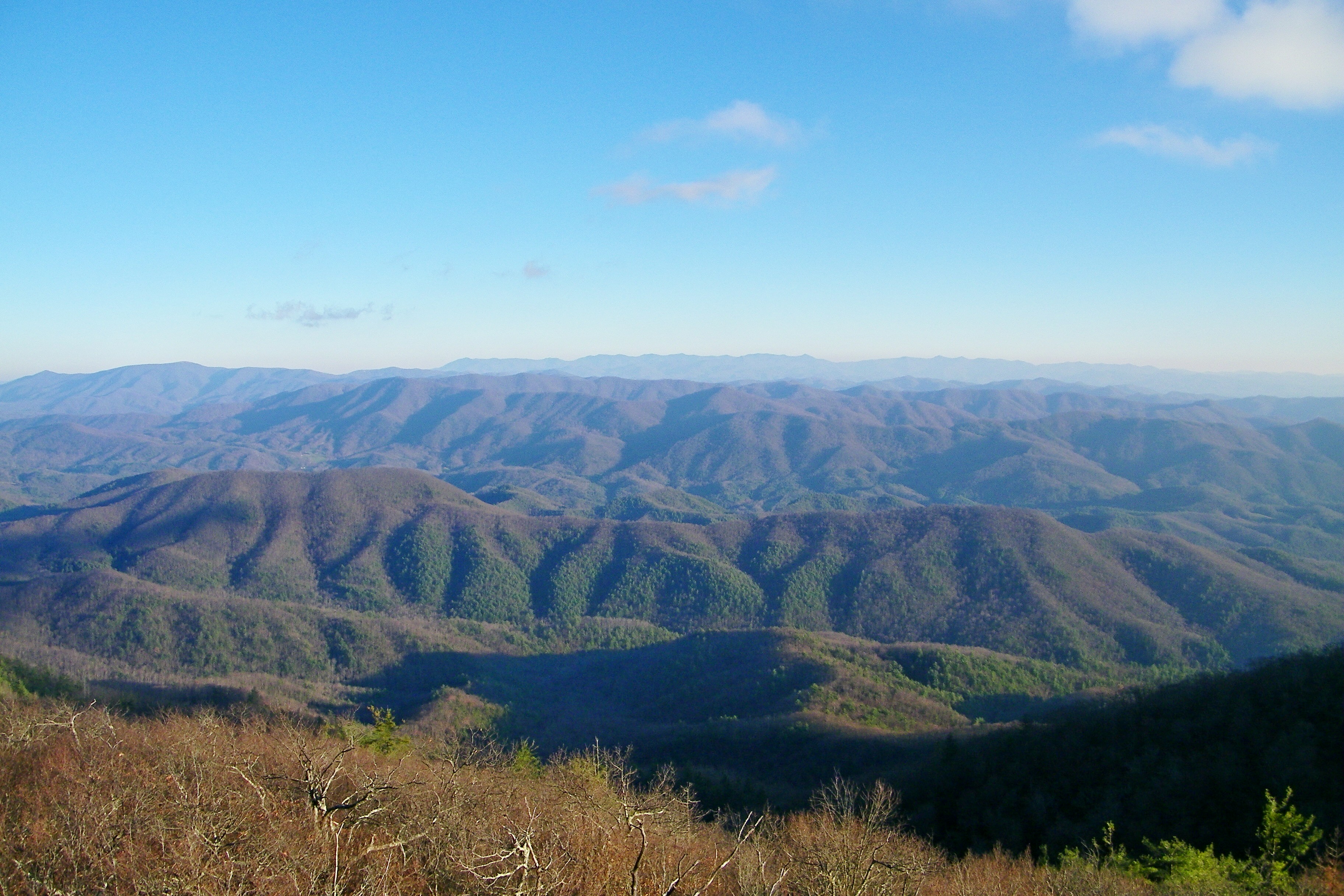
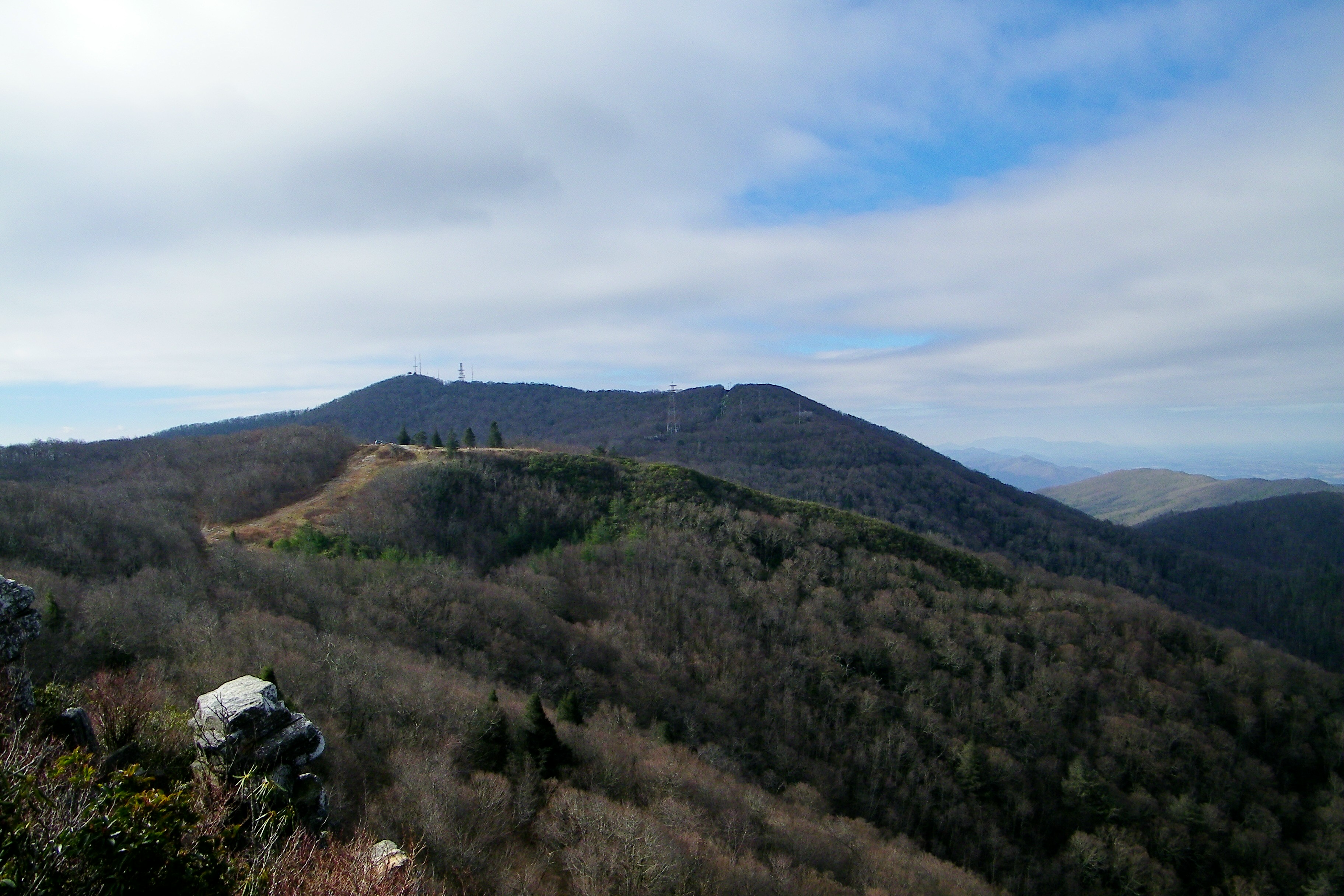
Camp Creek Bald Lookout Tower
Camp Creek Bald Lookout Tower
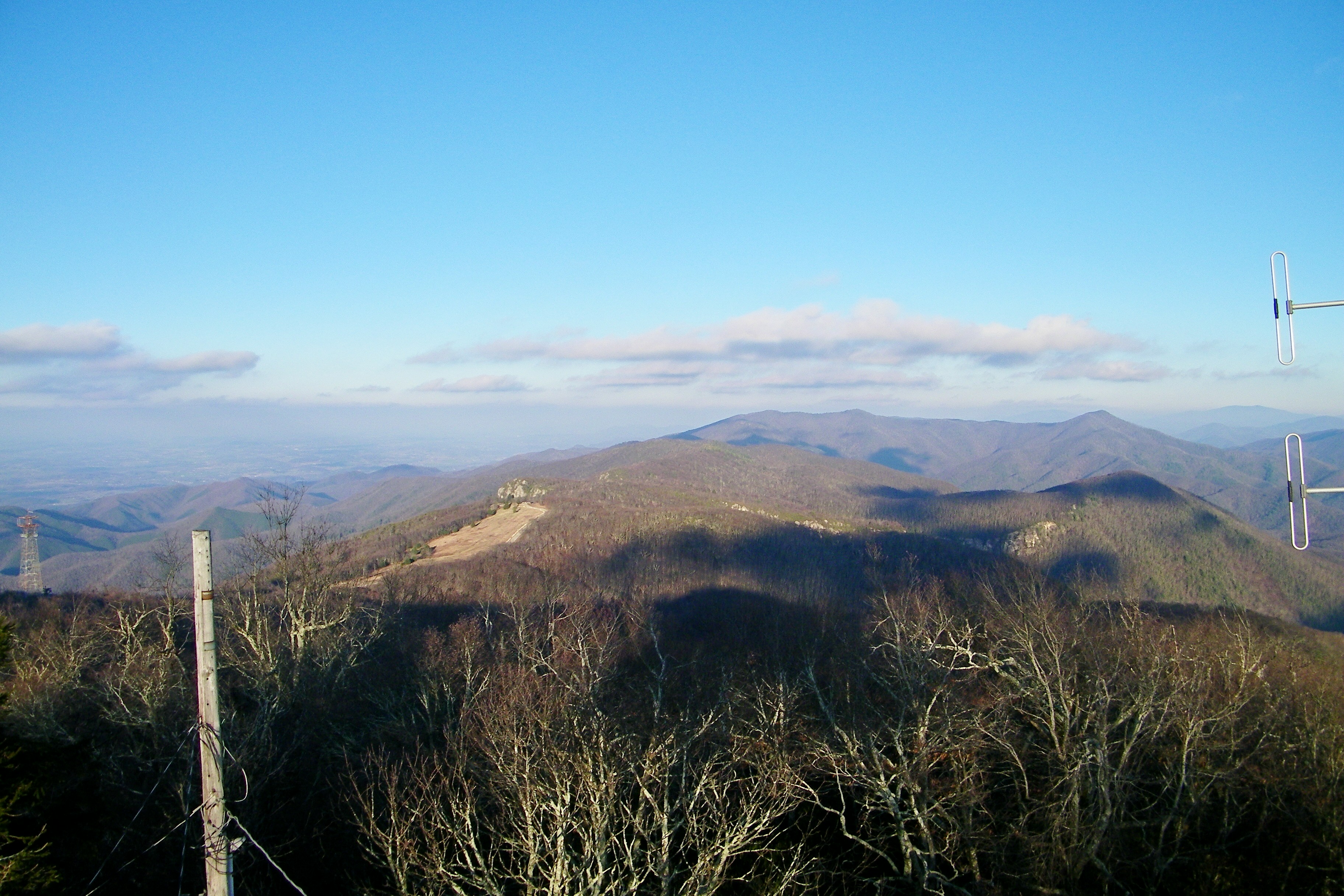
Big Firescald Knob
Big Firescald Knob
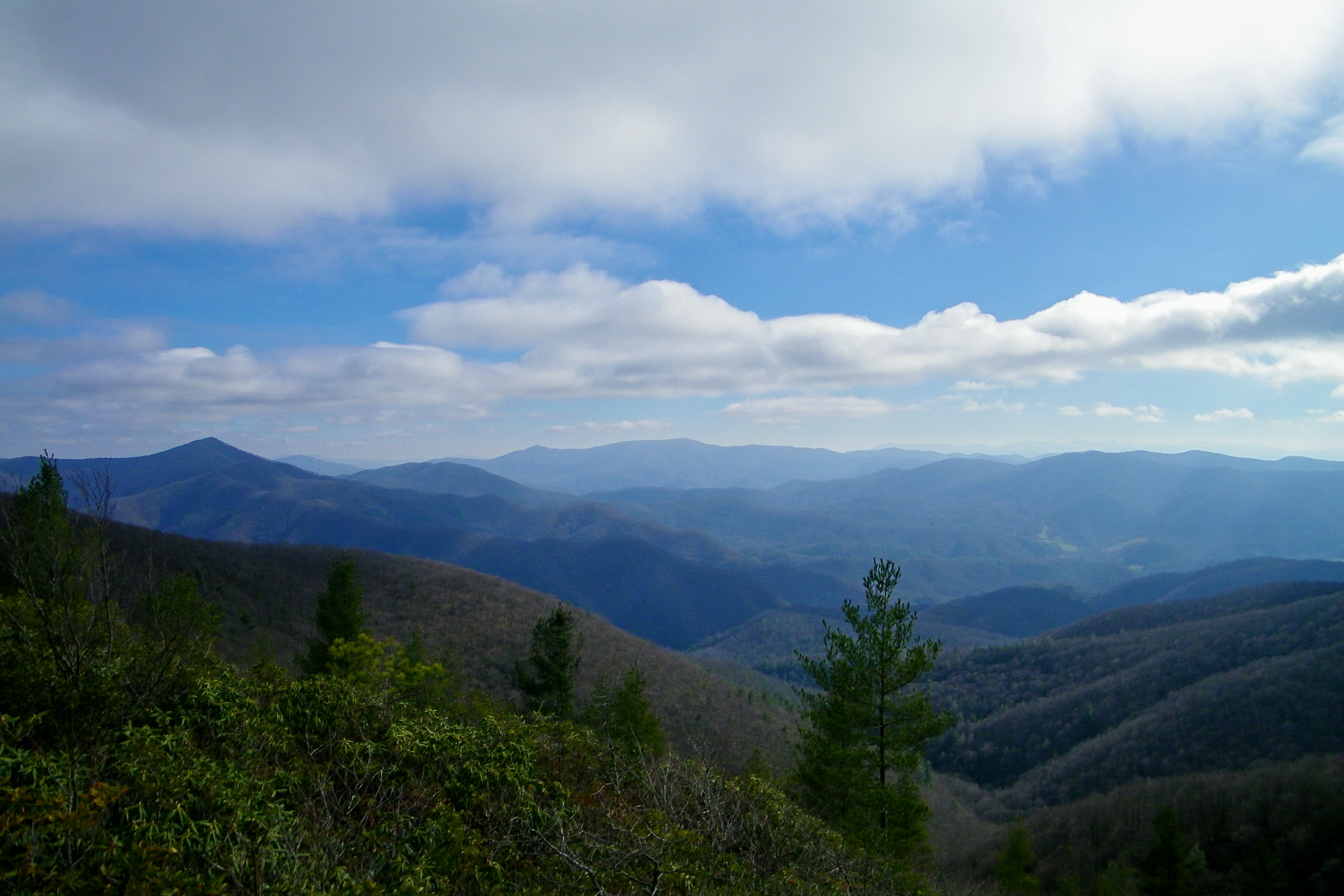
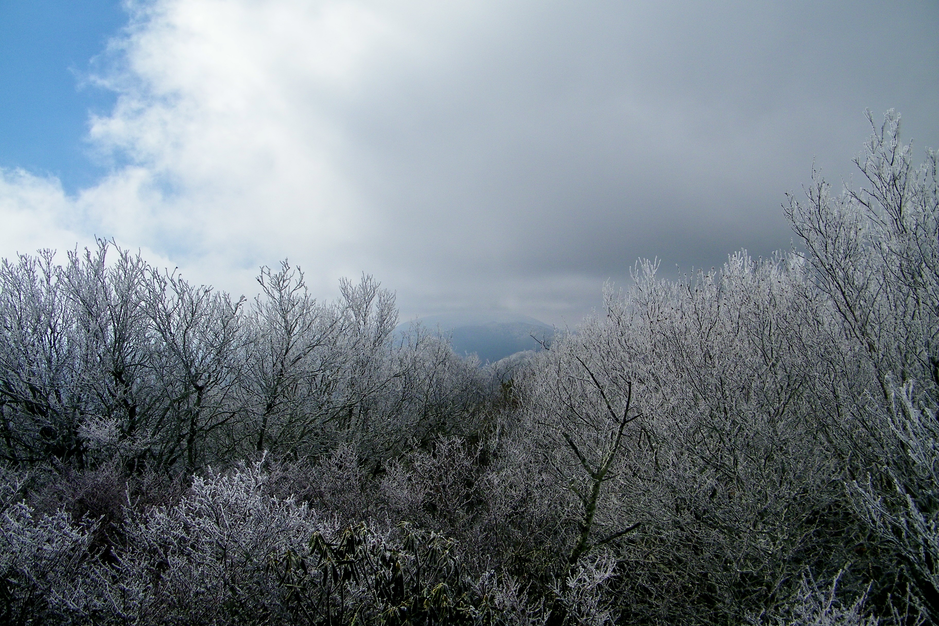
Blackstack Cliffs on Little Firescald Knob
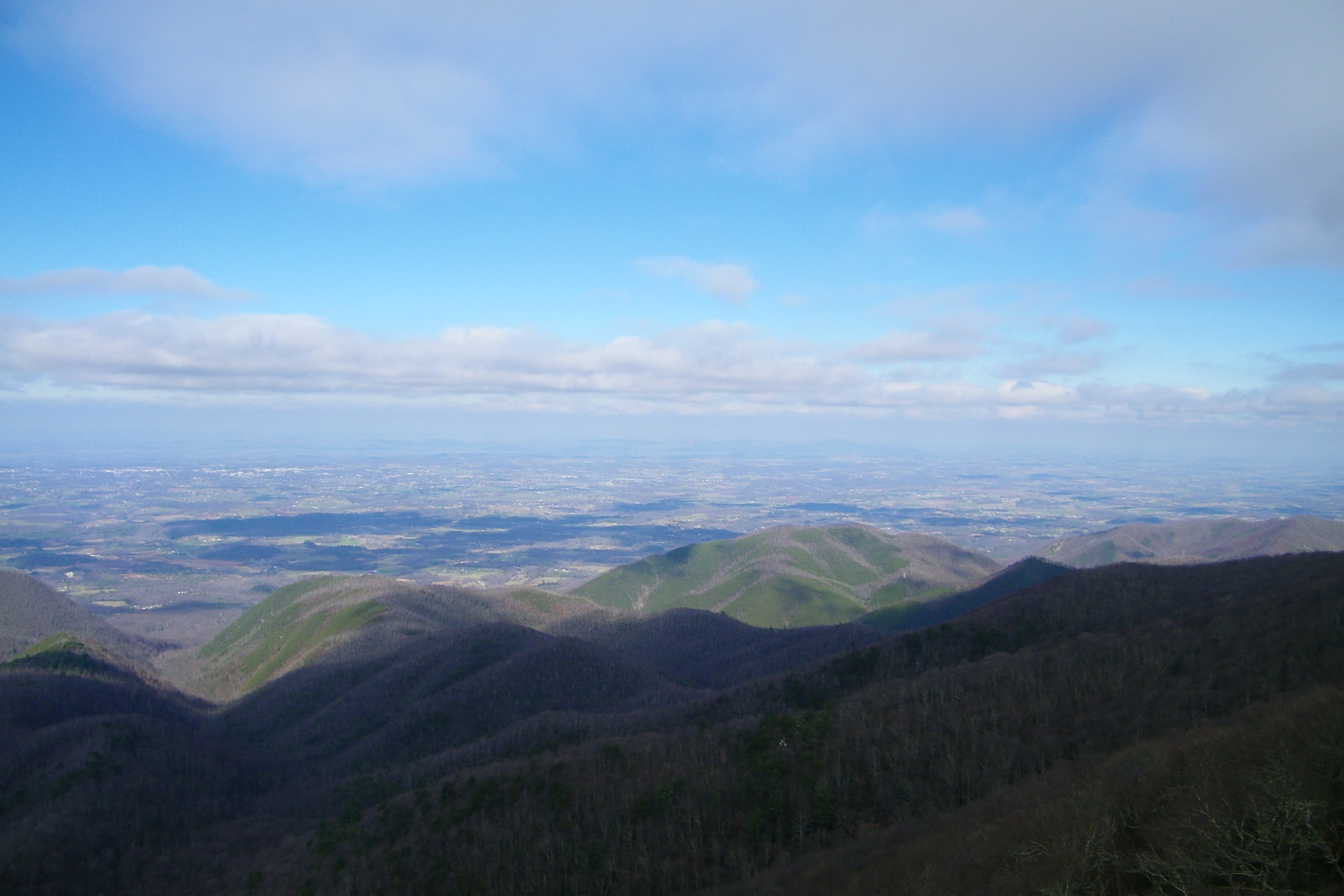
Big Firescald Knob

Blackstack Cliffs on Little Firescald Knob
Big Firescald Knob

Blackstack Cliffs on Little Firescald Knob

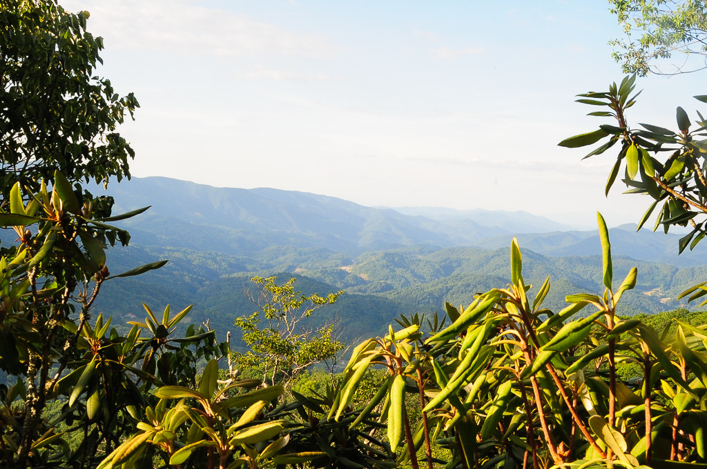
A mountain view
View from W4T/SU-024 - High Rock

Evening light at Scenic Wolf

Big Butt - Cold Spring Mountain

Big Butt - Cold Spring Mountain
Big Butt - Cold Spring Mountain
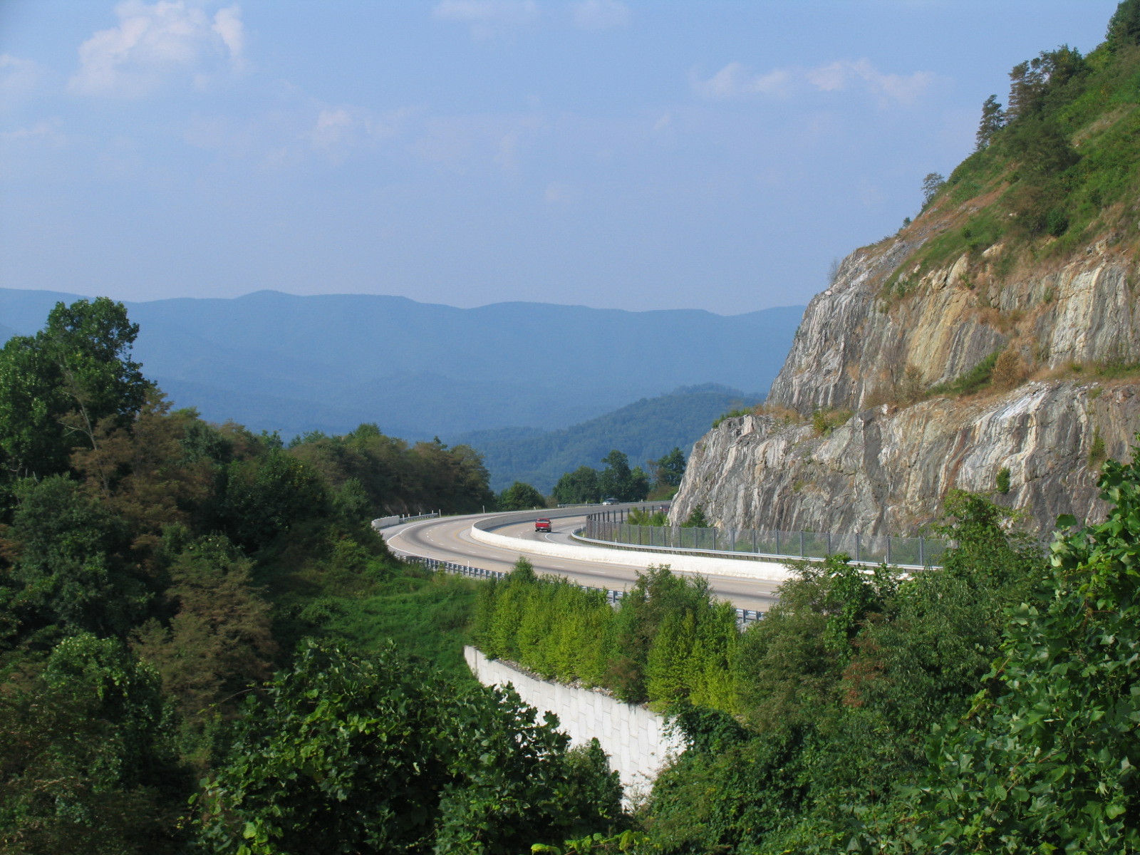
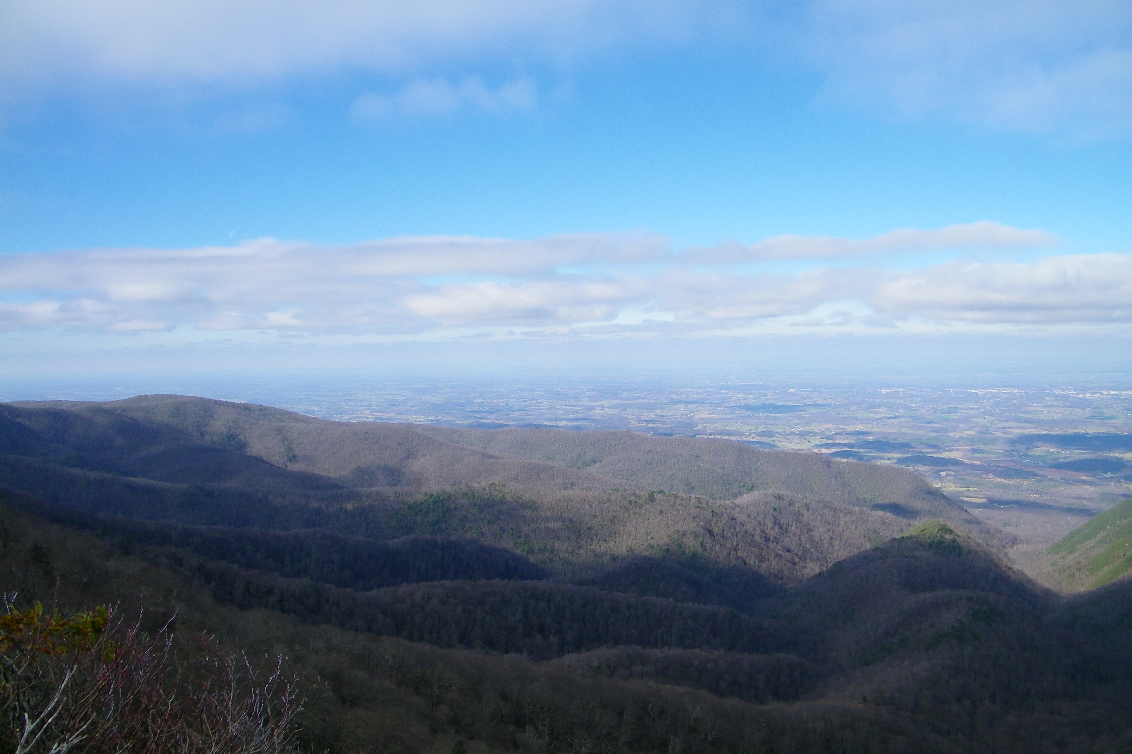
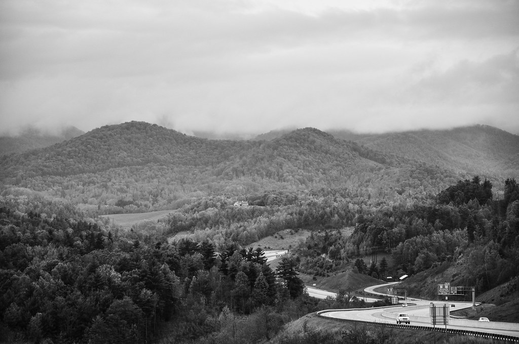
I-26 West view
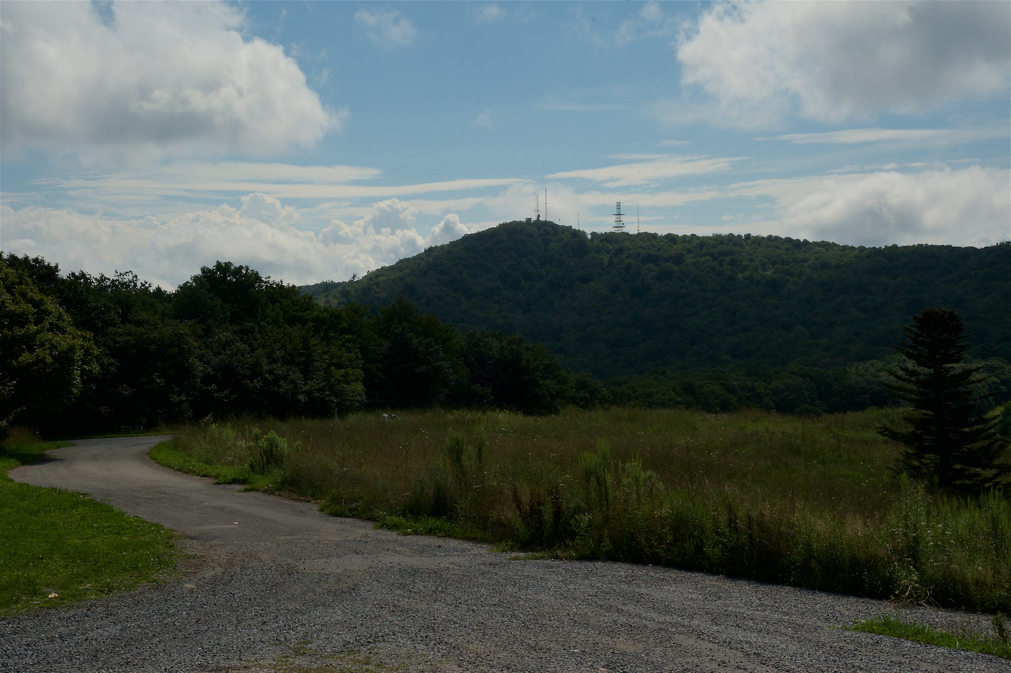
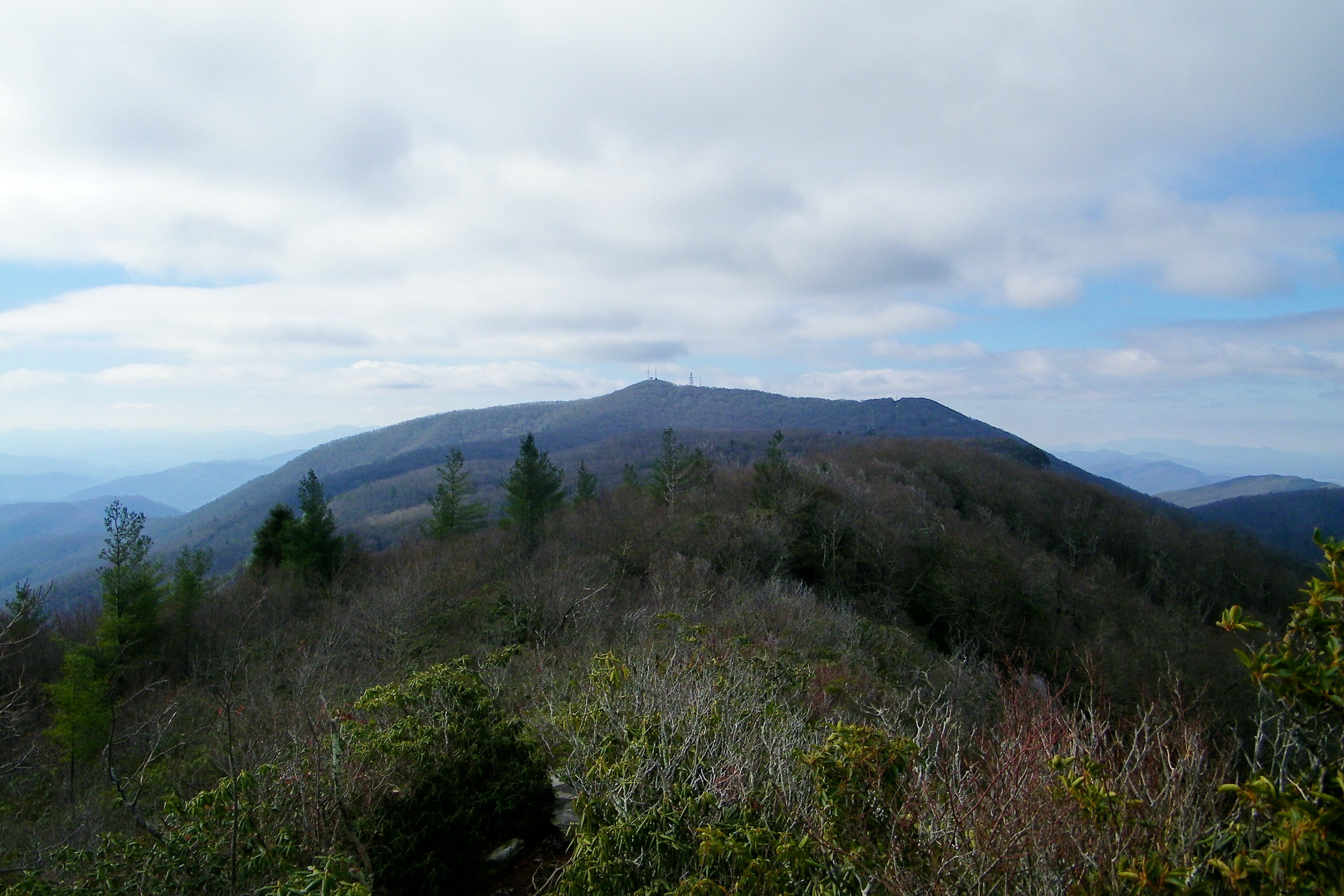
View of W4C/CM-028 - Camp Creek Bald
Appalachian Trail

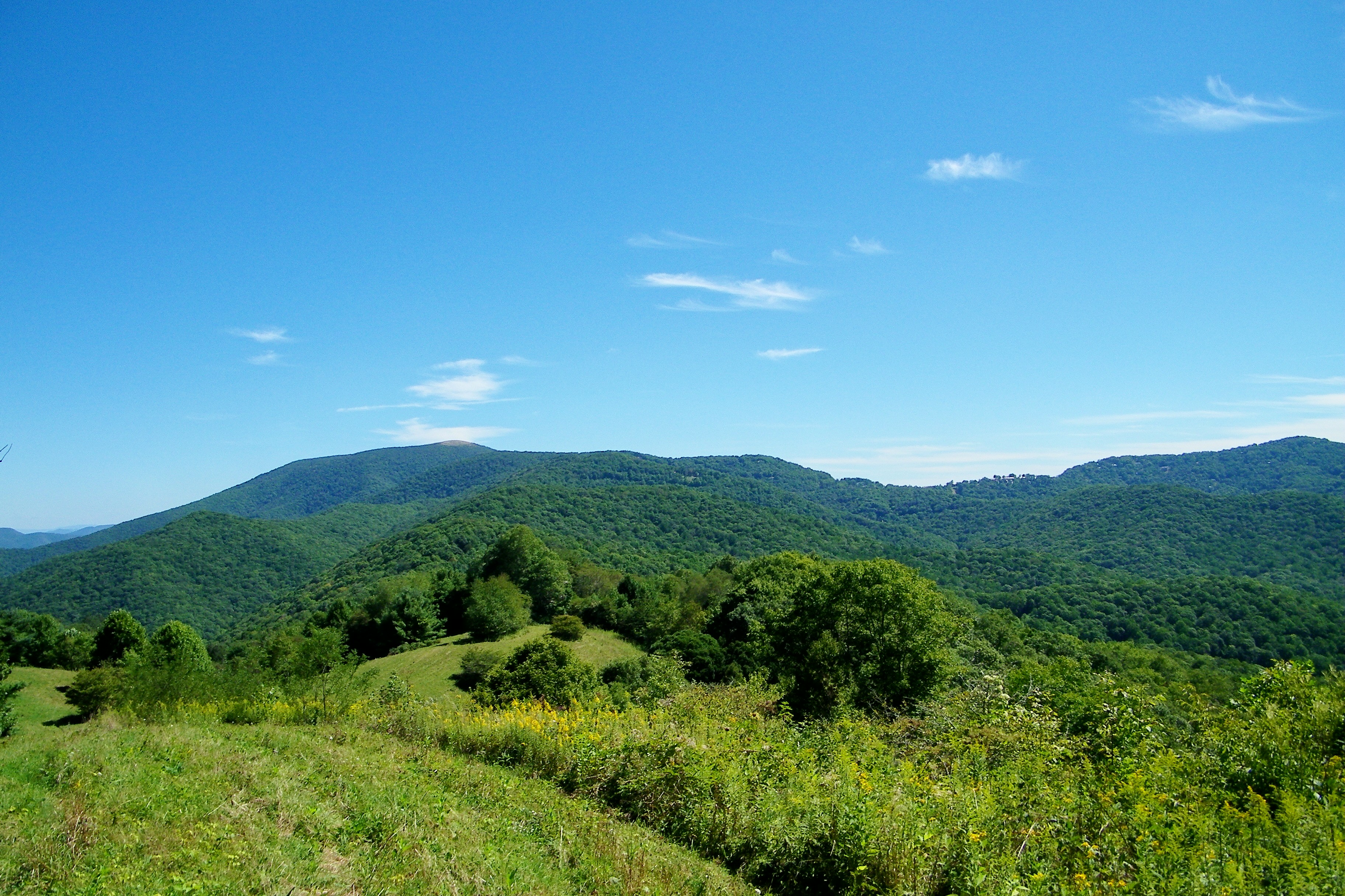
Bald Mountain

View from W4T/SU-024 - High Rock

...
The light fades so quickly here at the farm in the winter. Soft light through bare trees, and peace. #nature #appalachia #riversongmountainsanctuary #wildkatuahhealingarts
Bald Mountains Panorama 1 2014-1102
JFRM-2017-04-7044-Pano.jpg
2014-10-12 20.54.37
DSC_0056.jpg
DSC_0055.jpg

Abandonded Forest Service Road in IR

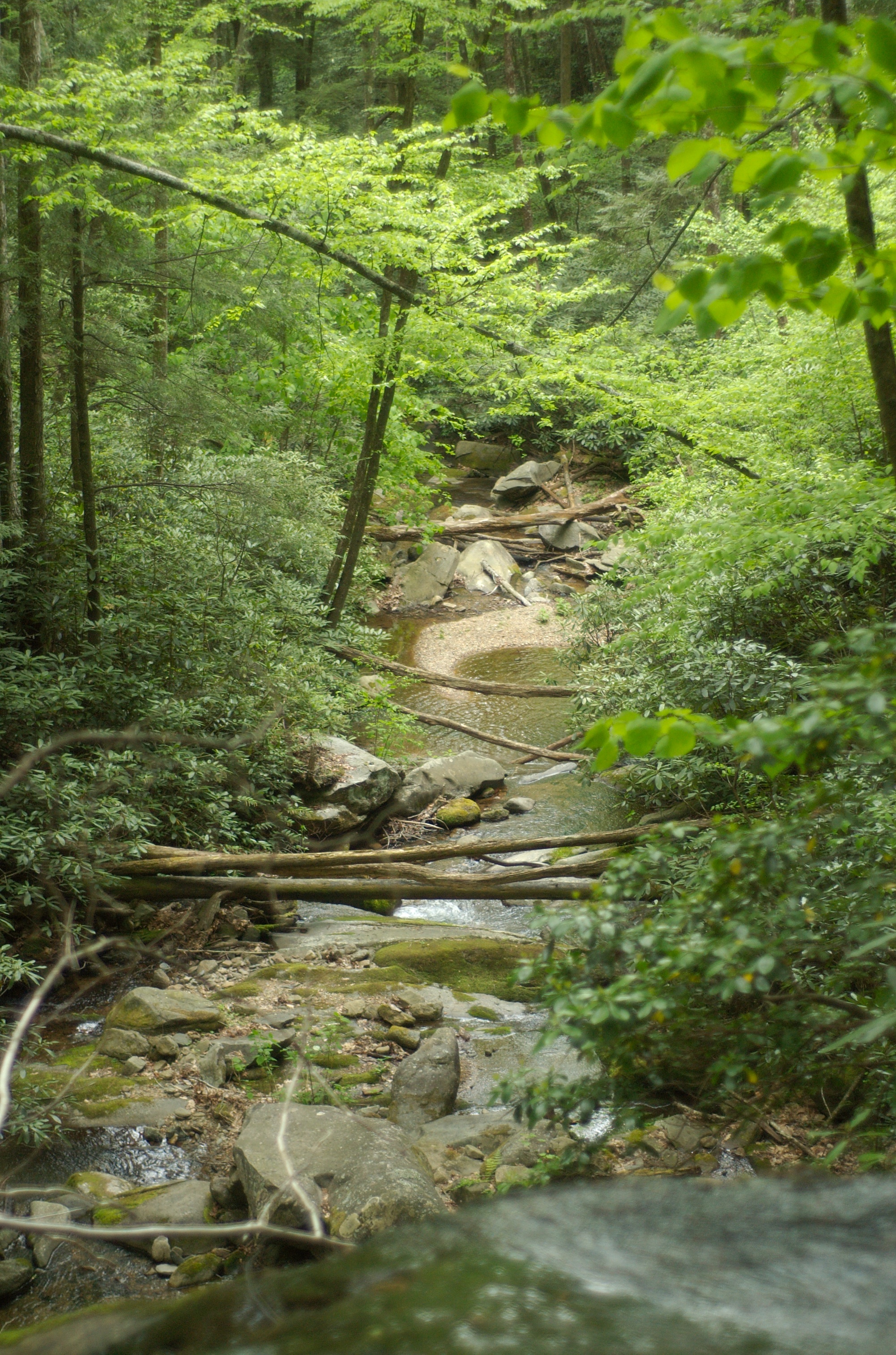
Rocky Fork
DSC_0036.jpg

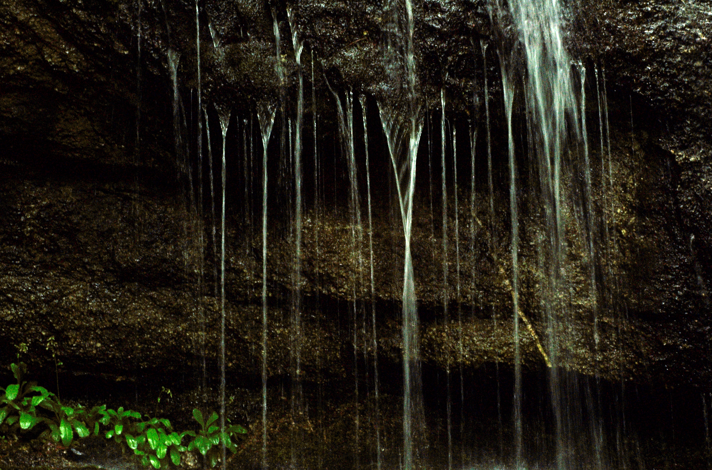
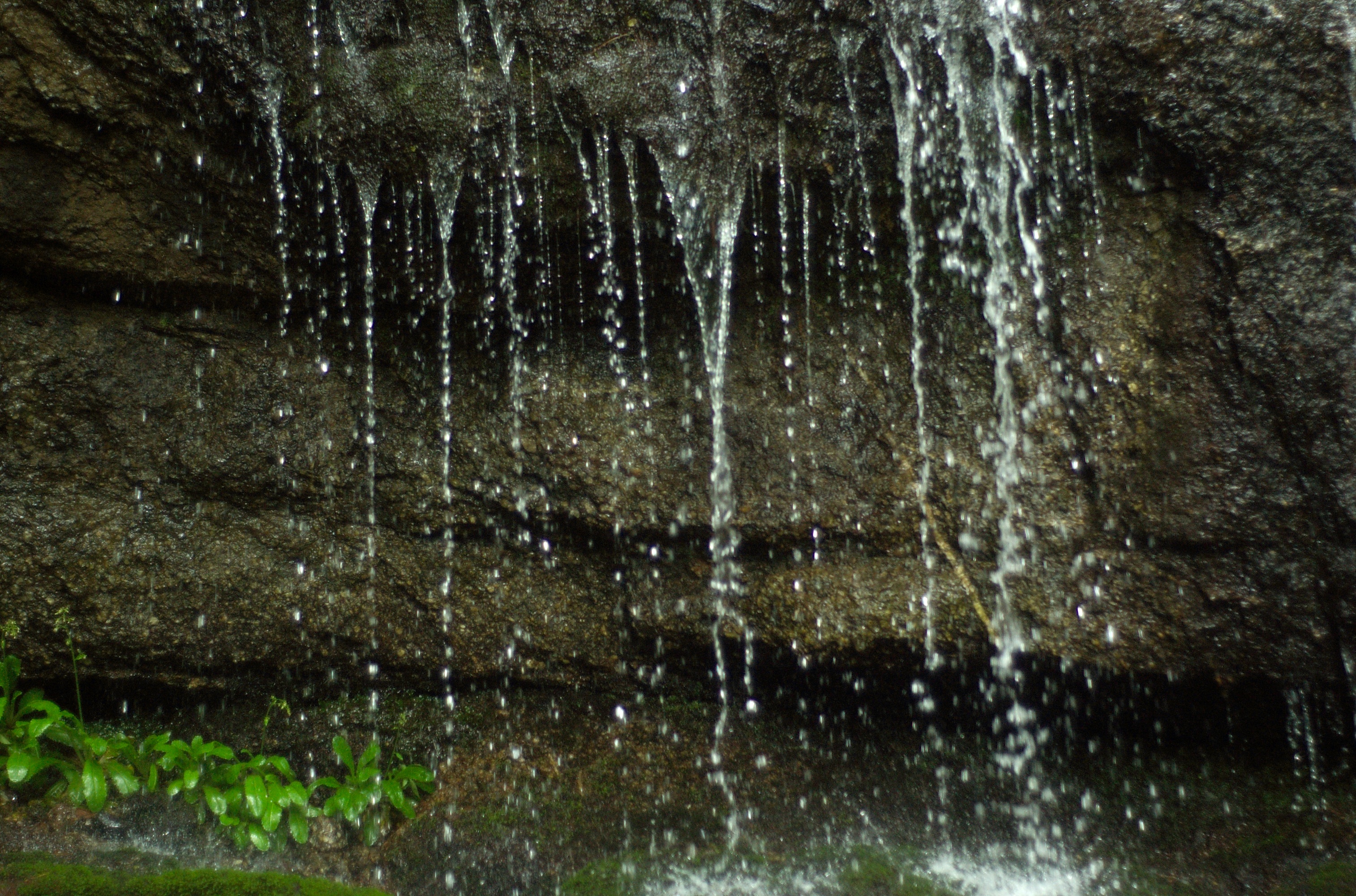
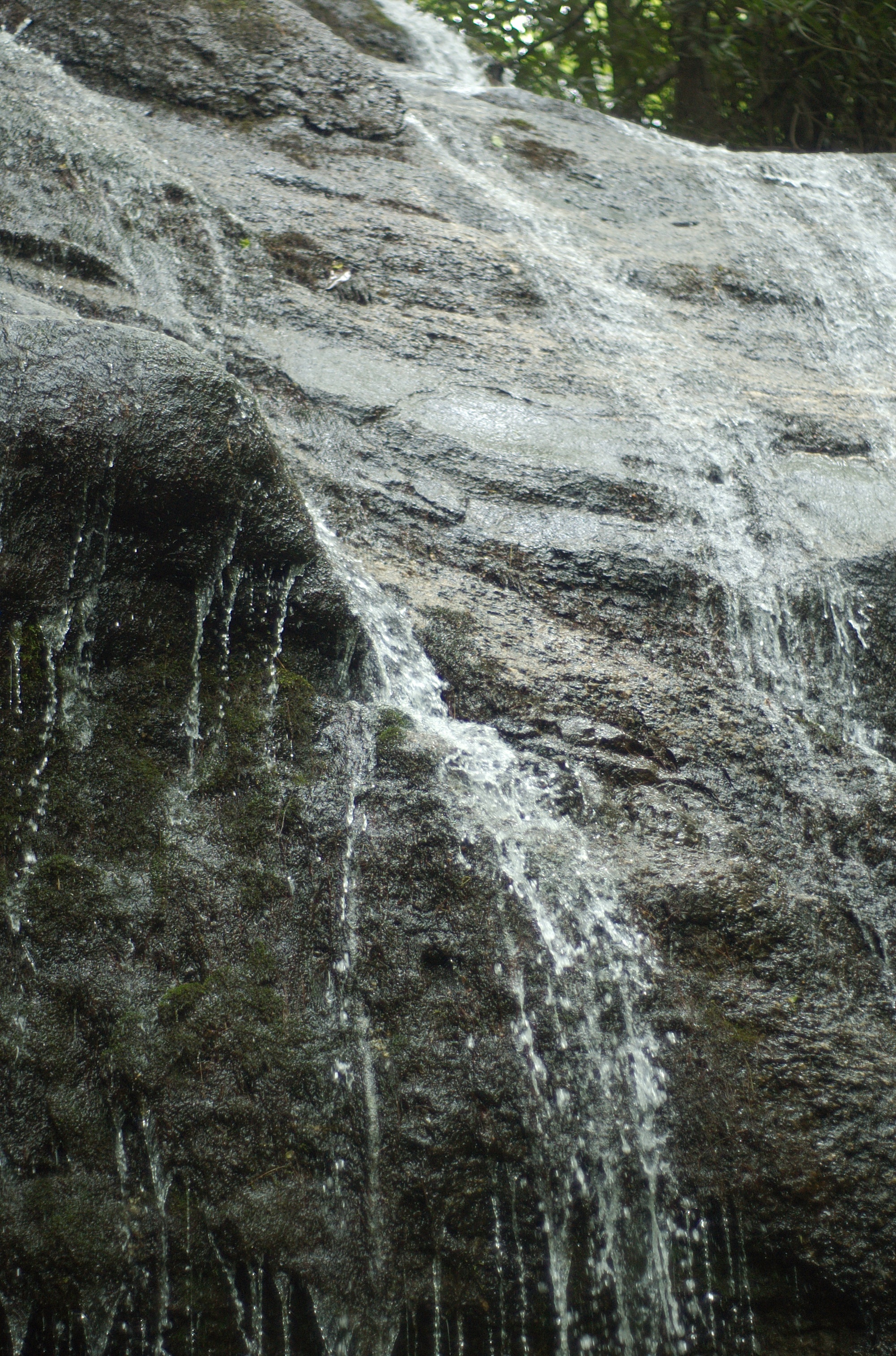
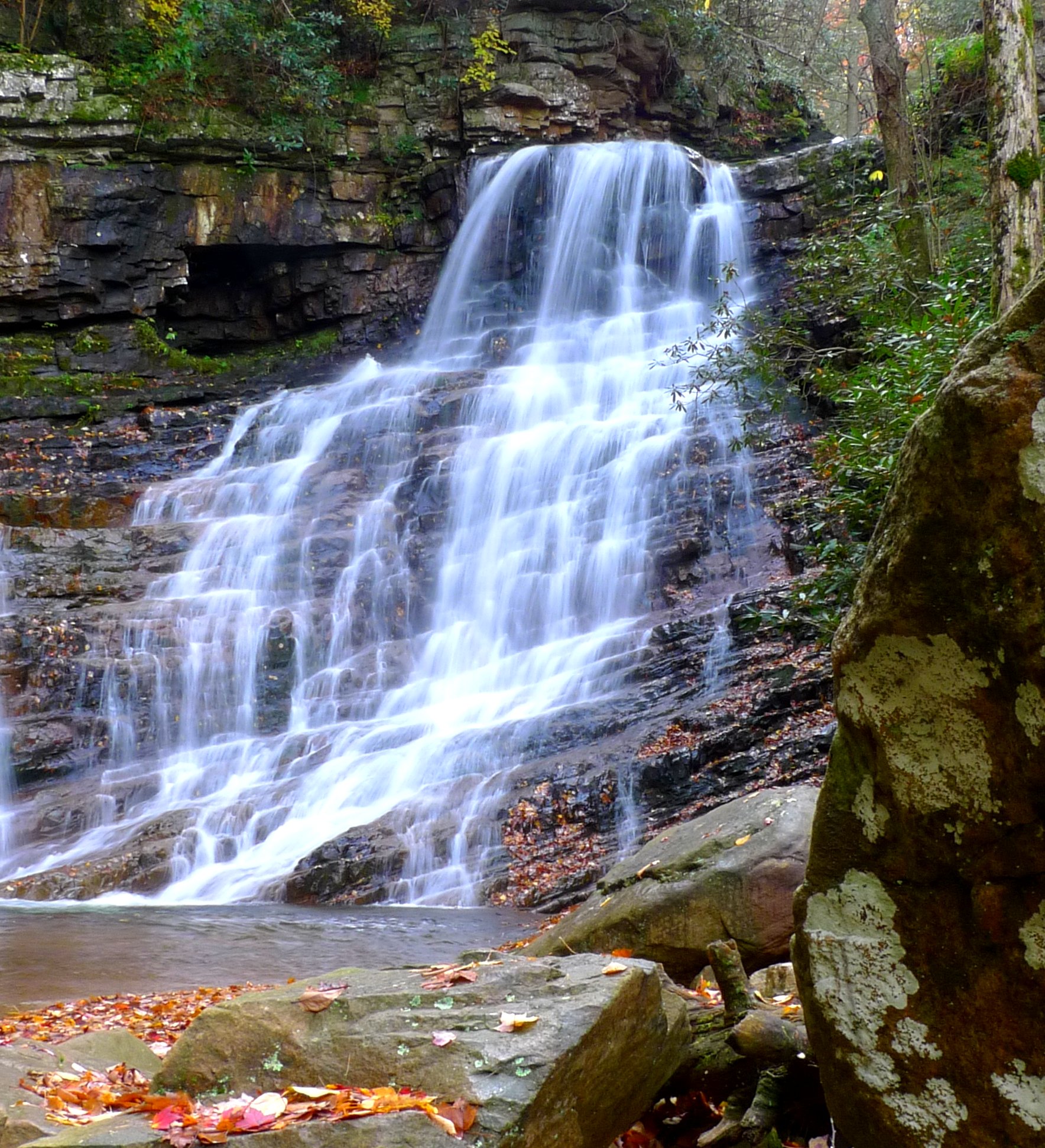
Margarette Falls, TN
DSC_0040.jpg

IMG_9063.JPG
on the road outside Asheville, NC
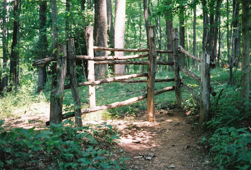
Fence contraption version 1
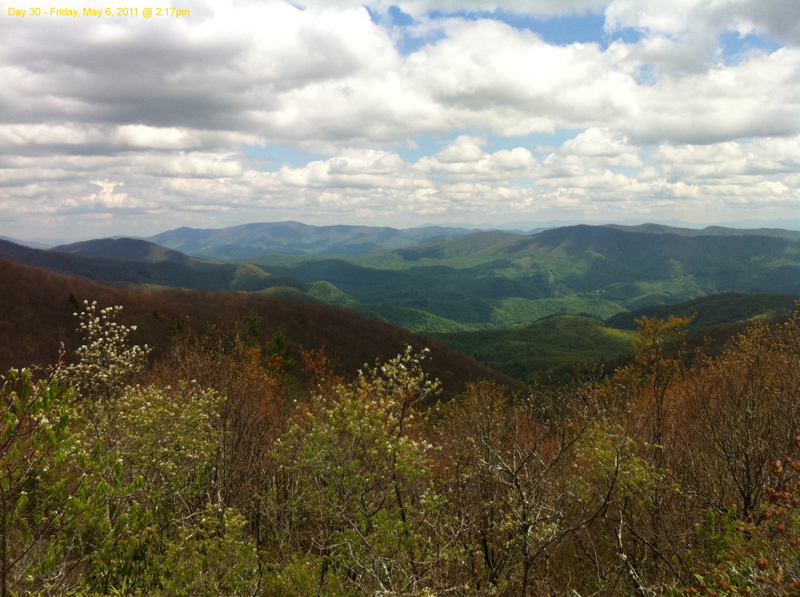
Scribbles AT Hike 2011-05-06 @ 14-17-35
DSC_0054.jpg

Silver-spotted Skipper
Margarette Falls
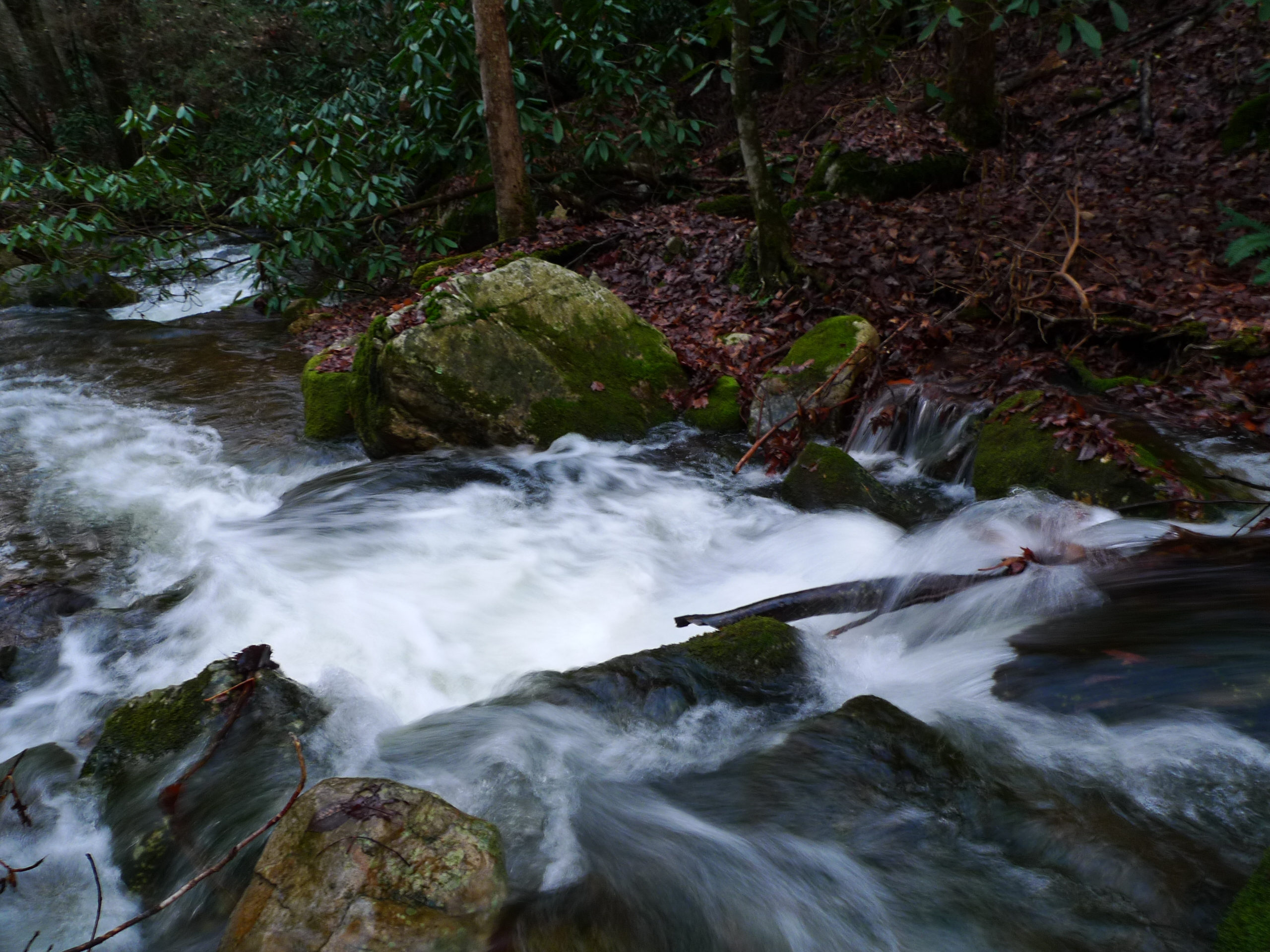
Squibb Creek
Topographic Map of Pete Creek Rd, Flag Pond, TN, USA
Find elevation by address:

Places near Pete Creek Rd, Flag Pond, TN, USA:
Pete Creek Road
Pete Creek Road
125 Roy St Rd
Lige Silvers Road
Flag Pond, TN, USA
Bob Hardin Road
1410 Rice Creek Rd
1337 Rice Creek Rd
Flag Pond
4388 Old Asheville Hwy
202 Theodore Harris Rd
Carver Rd, Flag Pond, TN, USA
118 Stone Pl Rd
1 Horned Owl Ln
Angel Crk, Flag Pond, TN, USA
262 Horned Owl Ln
262 Horned Owl Ln
262 Horned Owl Ln
Horned Owl Lane
Right Higgins Creek Road
Recent Searches:
- Elevation of Sunset Dr, Richmond, VA, USA
- Elevation of Grodna District, Hrodna Region, Belarus
- Elevation of Hrodna, Hrodna Region, Belarus
- Elevation of Sandia Derby Estates, Tijeras, NM, USA
- Elevation of 23 Sunrise View Ct, Tijeras, NM, USA
- Elevation of Lytham Ln, Katy, TX, USA
- Elevation of Tater Hill, Oklahoma, USA
- Elevation of NY-, Friendship, NY, USA
- Elevation of 64 Danakas Dr, Winnipeg, MB R2C 5N7, Canada
- Elevation of 4 Vale Rd, Sheffield S3 9QX, UK