Elevation of Perrin Dr, North Myrtle Beach, SC, USA
Location: United States > South Carolina > Horry County > North Myrtle Beach >
Longitude: -78.705046
Latitude: 33.8063613
Elevation: 10m / 33feet
Barometric Pressure: 101KPa
Elevation Map:
Satellite Map:
Related Photos:

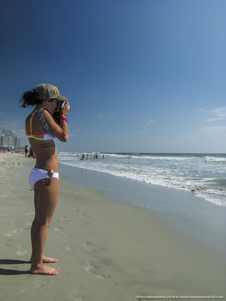
tiny dancer

A wave crashes along the NC/SC boundary
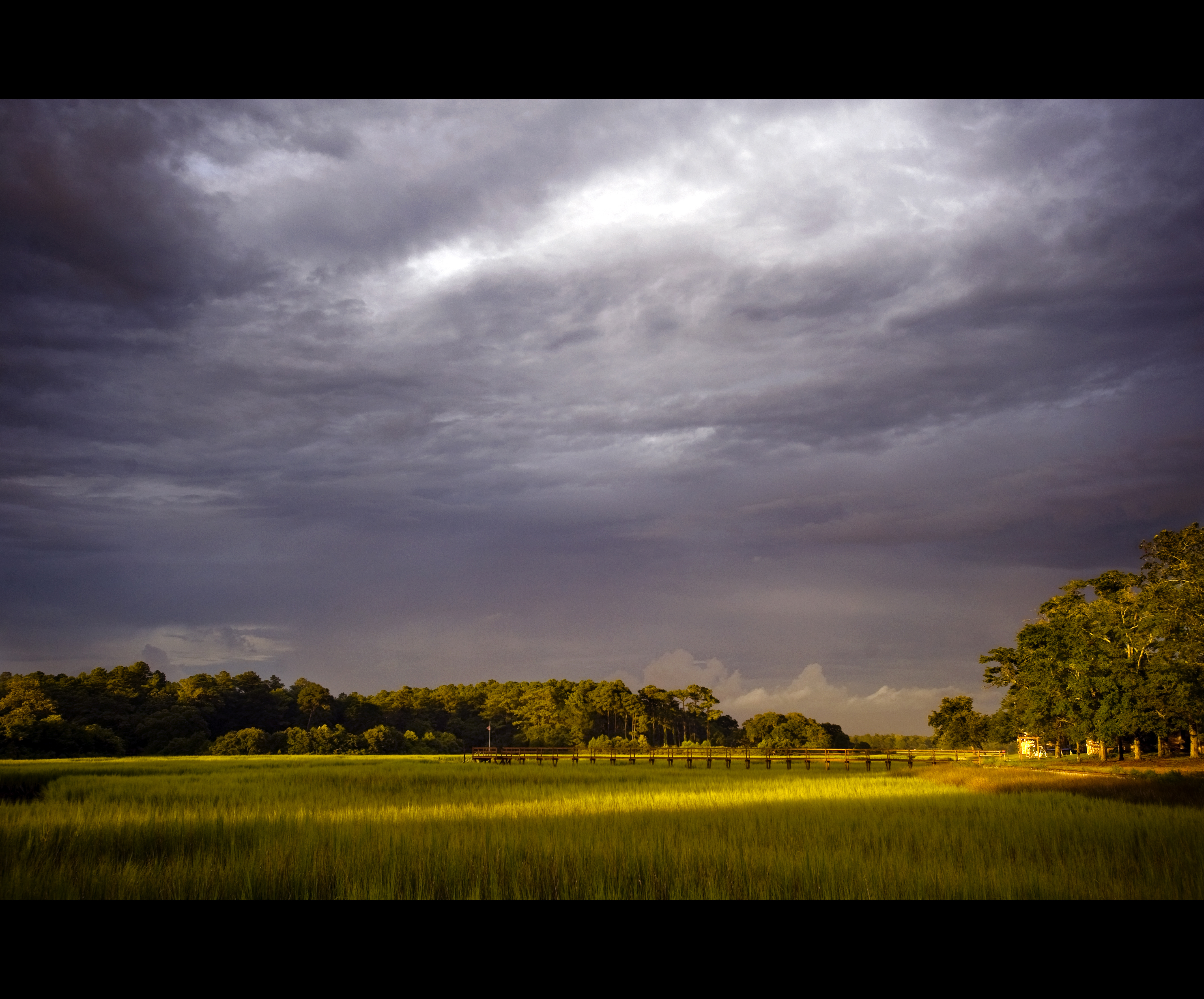
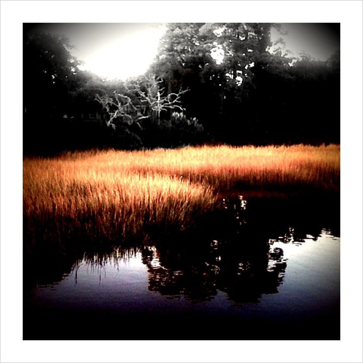
Day 901 - Sunset Over The Marsh
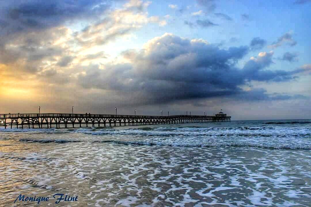
Morning at the Pier
LK_20120520_0028-sm
LK_20170408_0170_HDR-sm

Great way to start the day #sunrise
Beach gallery-1

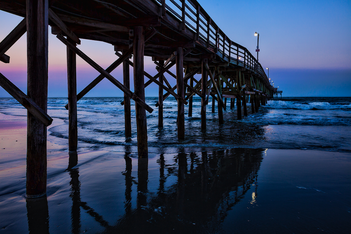
Under the Pier
LK_20140727_0101_HDR-sm
Coquina Harbor

"Super" moon on May 5, 2012
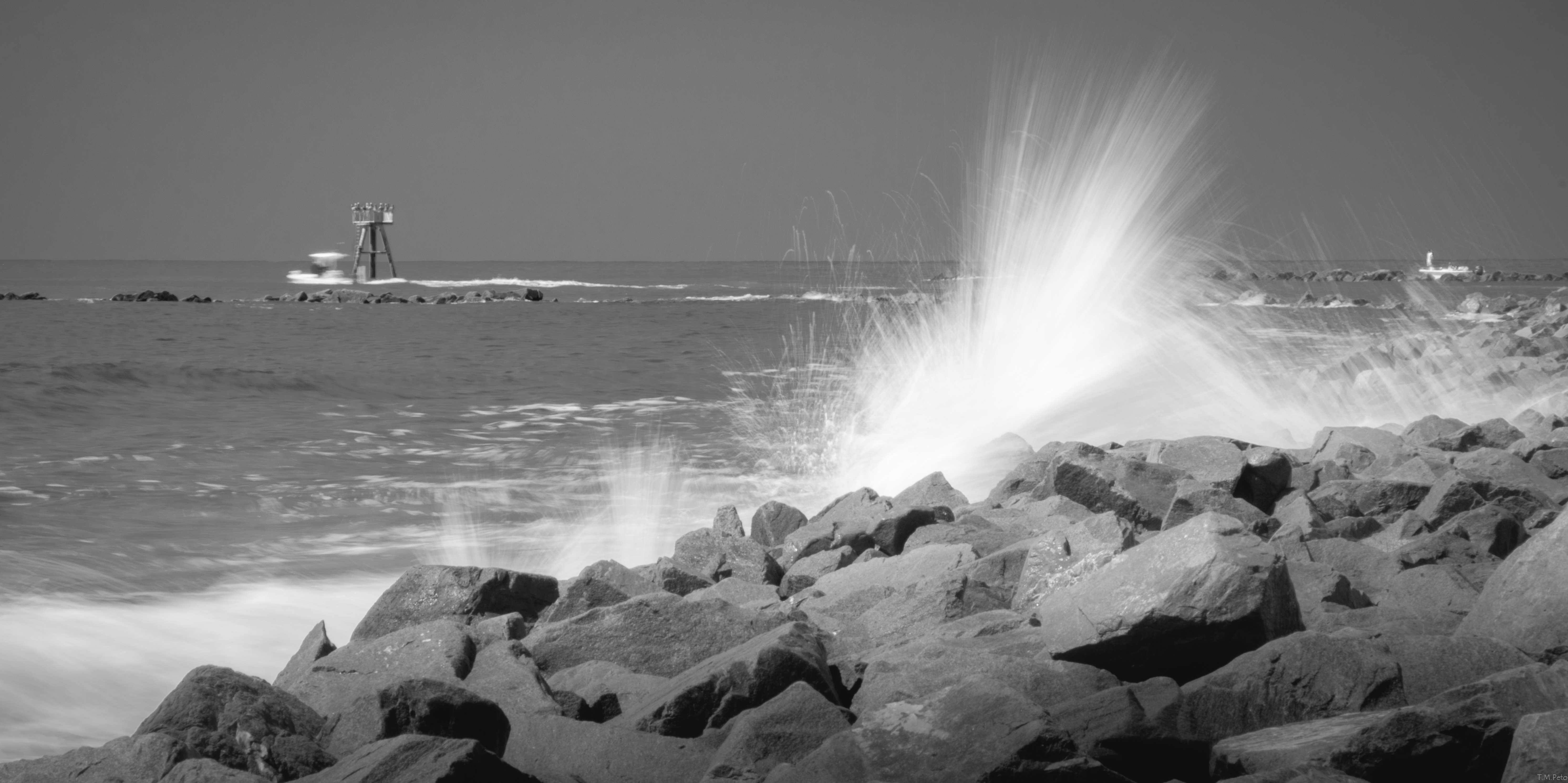
Shooting Waves (Flickr Explore October 14, 2014)
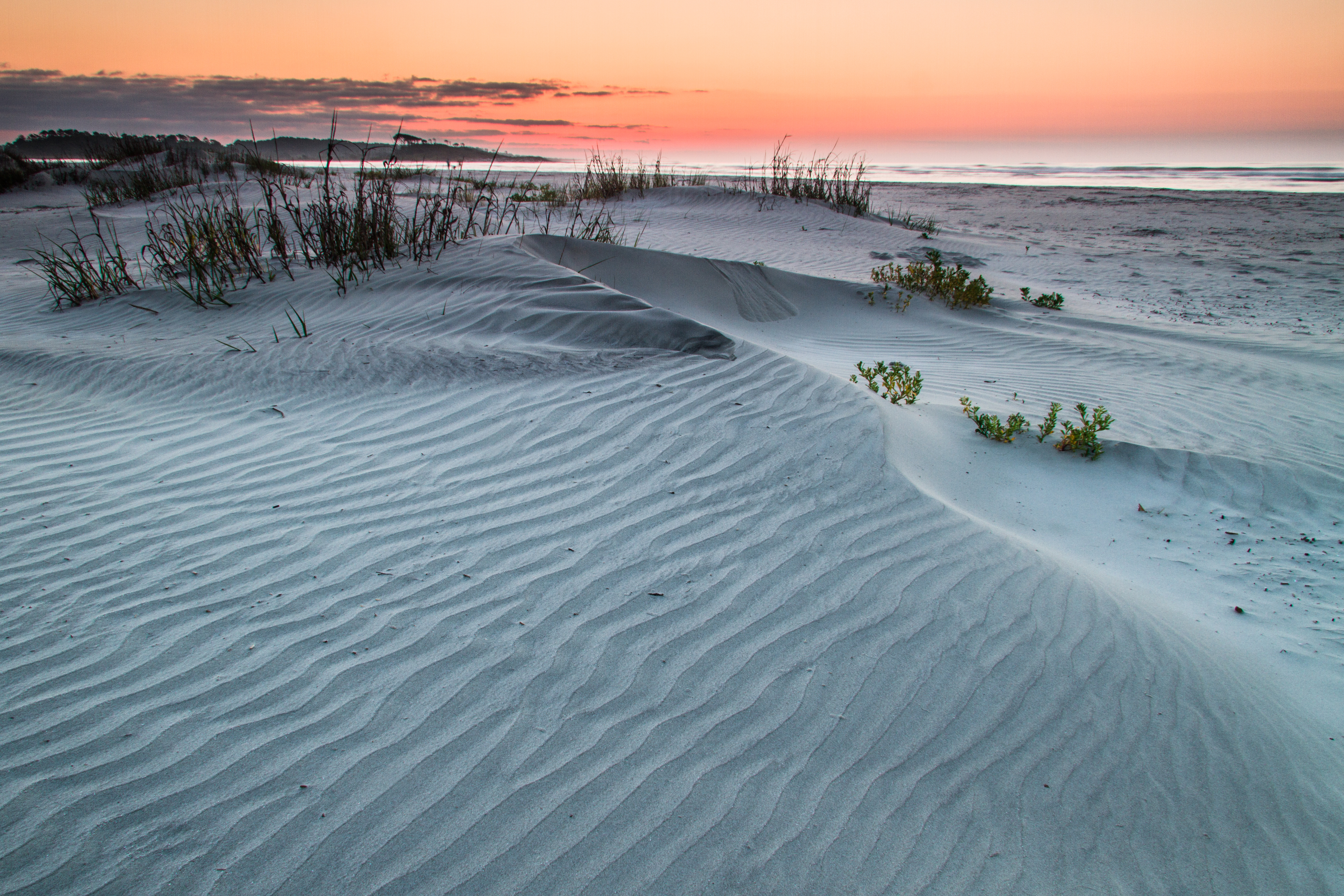
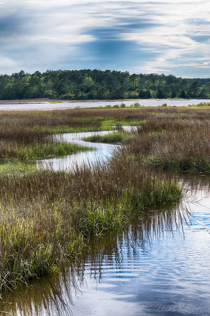
ripples-1
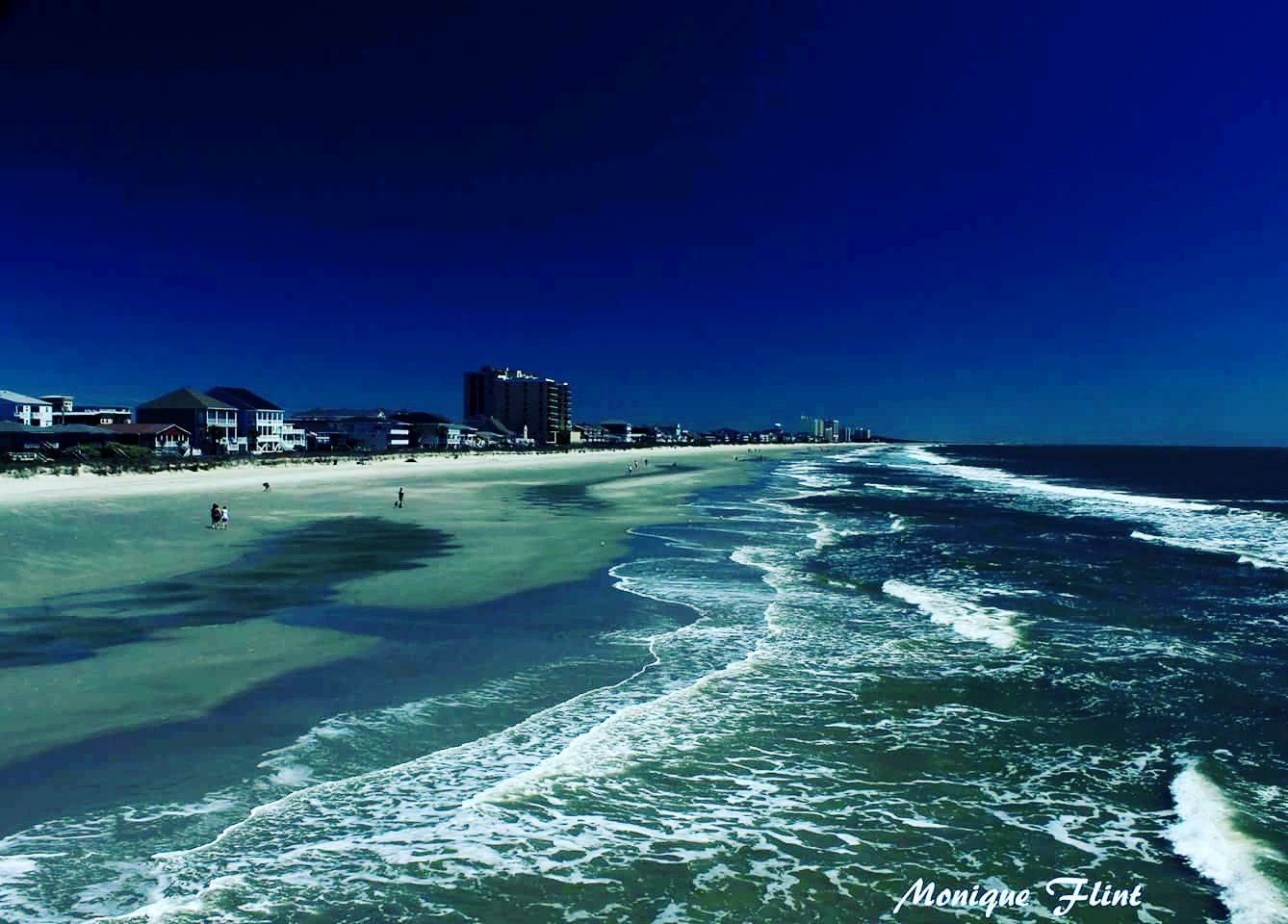
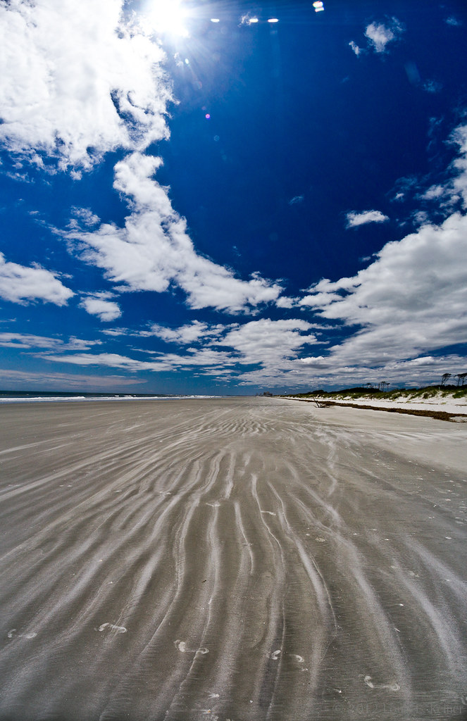
The shore

Ha ha drainage system.
North Myrtle
SOUTHERN COMFORT
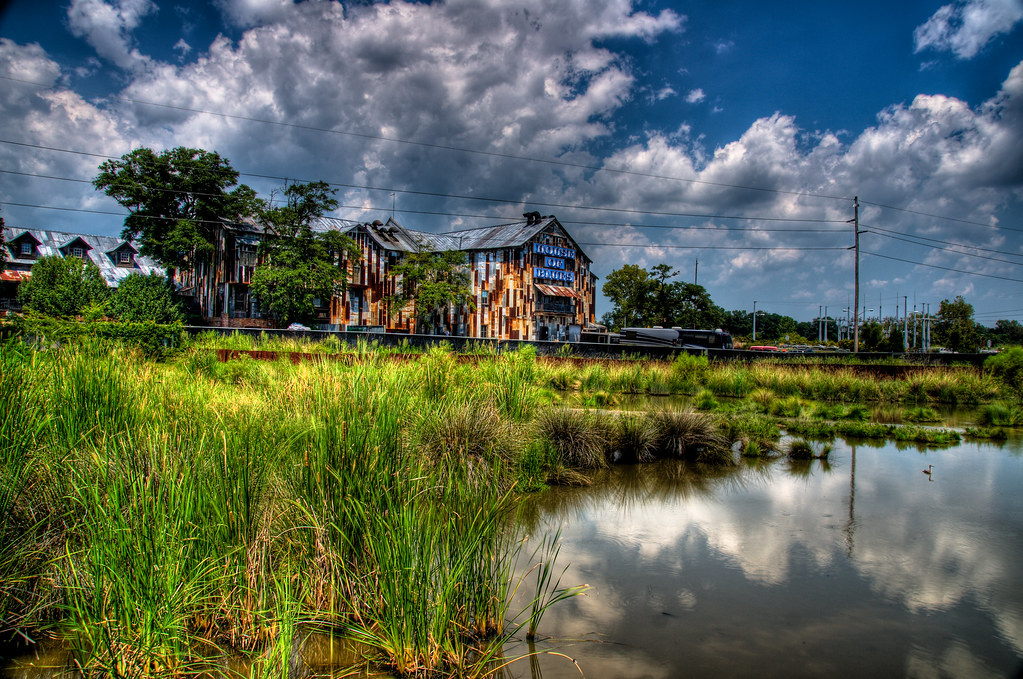
House of Blues
Bird Island, Little River Inlet
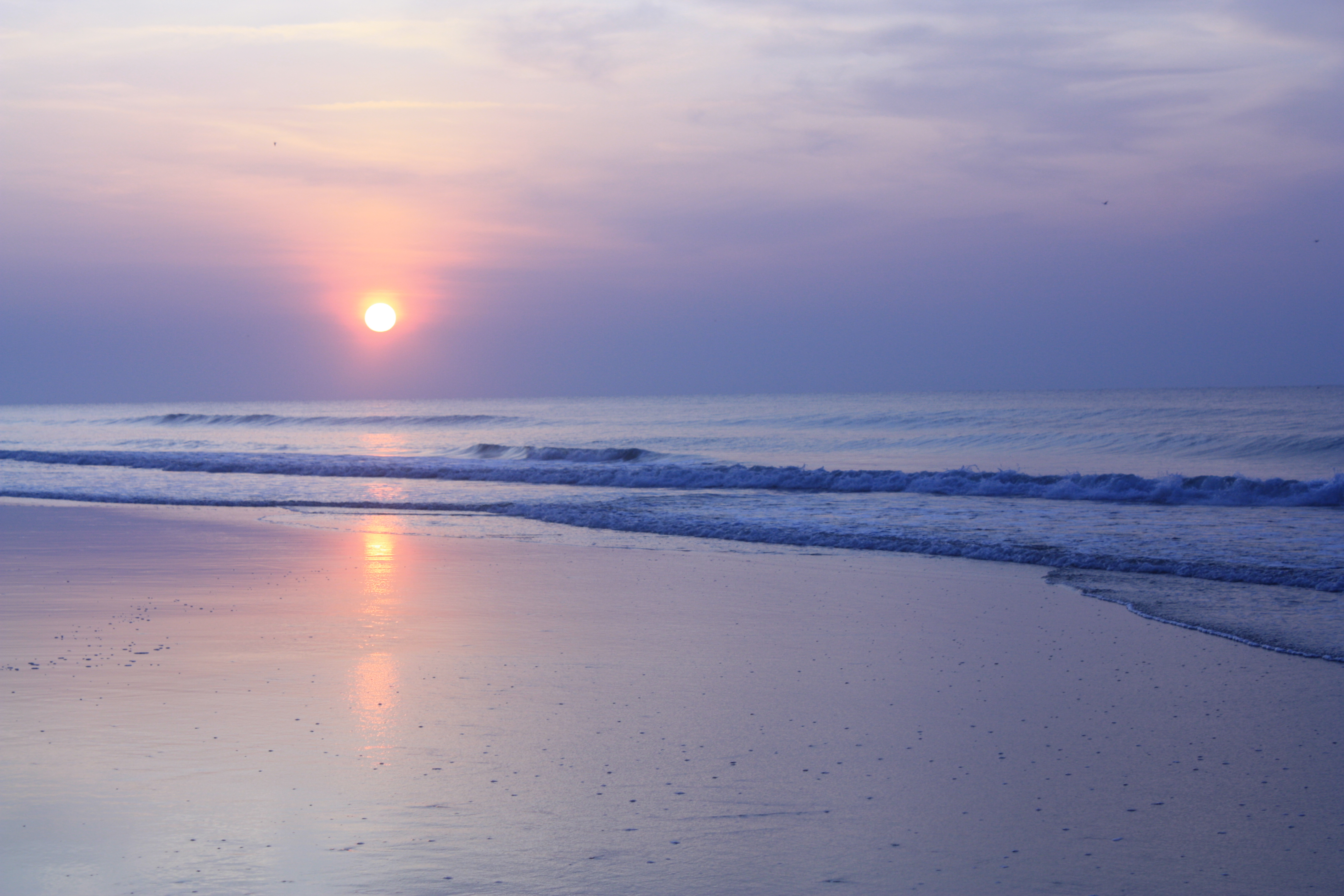
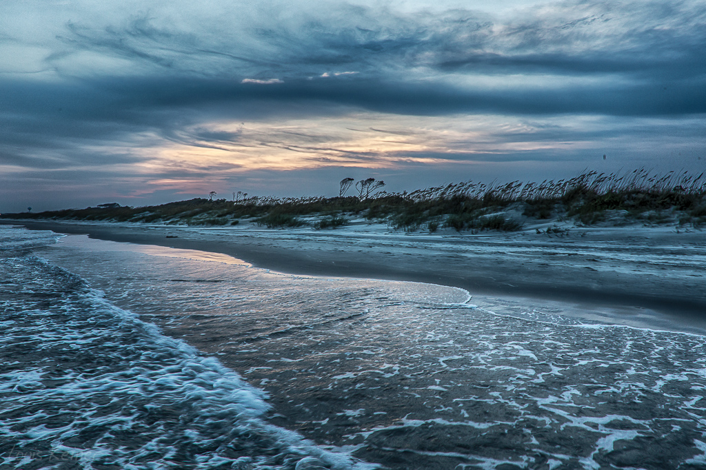
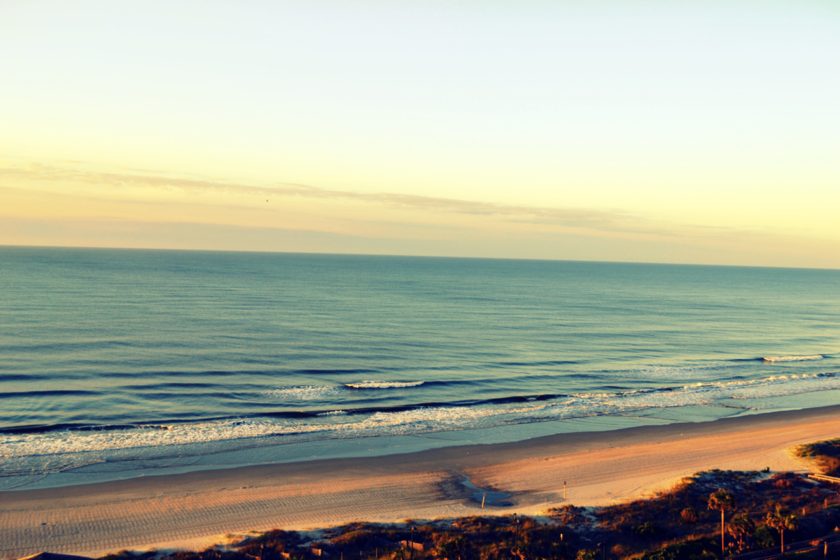
The morning blues again...
Topographic Map of Perrin Dr, North Myrtle Beach, SC, USA
Find elevation by address:

Places near Perrin Dr, North Myrtle Beach, SC, USA:
South Ocean Boulevard
2307 S Ocean Blvd
1803 Edge Dr
Madison Drive
1621 Edge Dr
1607 S Ocean Blvd
1605 S Ocean Blvd
Perrin Drive
1425 S Ocean Blvd
1400 Outrigger Rd
704 Holly Dr
1200 S Ocean Blvd
708 12th Ave S
704 12th Ave S
804 12th Ave S
800 12th Ave S
11th Avenue South
1015 S Ocean Blvd
509 10th Ave S
918 Edge Dr
Recent Searches:
- Elevation of Kootenai Trail Rd, Bonners Ferry, ID, USA
- Elevation of Hickory Blvd, Bonita Springs, FL, USA
- Elevation of Lalagbene, Bayelsa, Nigeria
- Elevation of Ogbosuware Health Centre, 2WWJ+4PJ, Lalagbene, Bayelsa, Nigeria
- Elevation of Duckhorn Ct, Las Vegas, NV, USA
- Elevation of Garretts Run Rd, Ford City, PA, USA
- Elevation of N WI-55, Freedom, WI, USA
- Elevation map of Hadiya, Ethiopia
- Elevation of Hosaina, Ethiopia
- Elevation of Verde Terrace, North Port, FL, USA