Elevation of Perkins County, NE, USA
Location: United States > Nebraska >
Longitude: -101.43391
Latitude: 40.7922353
Elevation: 1005m / 3297feet
Barometric Pressure: 90KPa
Elevation Map:
Satellite Map:
Related Photos:

Me on the plane
Post Office 69134 (Elsie, Nebraska)
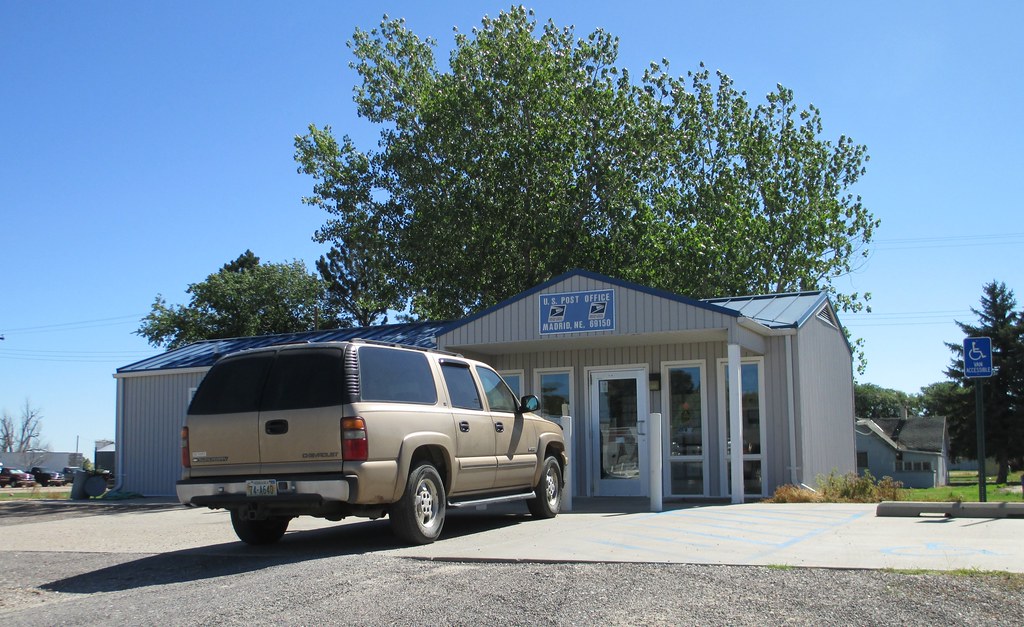
Post Office 69150 (Madrid, Nebraska)
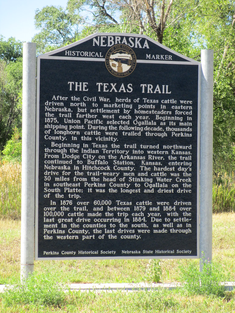
The Texas Trail Marker (Madrid, Nebraska)

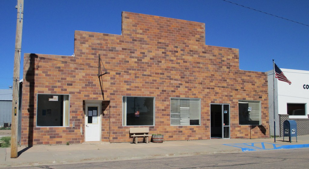
American Legion Post #206 (Elsie, Nebraska)
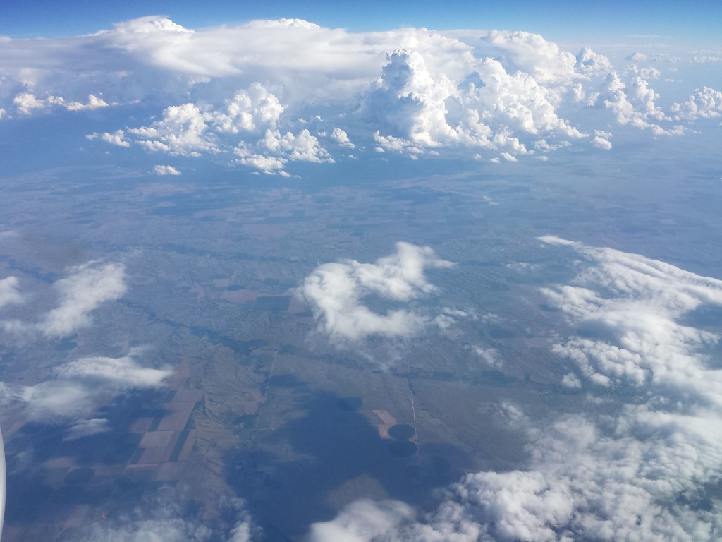
From the plane
Topographic Map of Perkins County, NE, USA
Find elevation by address:

Places in Perkins County, NE, USA:
Places near Perkins County, NE, USA:
Whittier St, Madrid, NE, USA
Madrid
Madrid
South Platte River
Nebraska 23
Nebraska 23
Central Ave, Grant, NE, USA
Grant
Liberty
Keith County
221 Rd East 85
602 W 1st St
Ogallala
374 Rd West 70
Whitetail
NE-61 Scenic, Lemoyne, NE, USA
State St, Brule, NE, USA
Lemoyne
Lemoyne Rd, Lemoyne, NE, USA
Lonergan
Recent Searches:
- Elevation of Corso Fratelli Cairoli, 35, Macerata MC, Italy
- Elevation of Tallevast Rd, Sarasota, FL, USA
- Elevation of 4th St E, Sonoma, CA, USA
- Elevation of Black Hollow Rd, Pennsdale, PA, USA
- Elevation of Oakland Ave, Williamsport, PA, USA
- Elevation of Pedrógão Grande, Portugal
- Elevation of Klee Dr, Martinsburg, WV, USA
- Elevation of Via Roma, Pieranica CR, Italy
- Elevation of Tavkvetili Mountain, Georgia
- Elevation of Hartfords Bluff Cir, Mt Pleasant, SC, USA