Elevation of Peralta, NM, USA
Location: United States > New Mexico > Valencia County > Bosque Farms >
Longitude: -106.69058
Latitude: 34.8369984
Elevation: 1482m / 4862feet
Barometric Pressure: 85KPa
Elevation Map:
Satellite Map:
Related Photos:

View from here

I've been alking around Isleta golf course this morning for work. Almost 4 miles of climbing sandy arroyos has been rough but the view is awesome. #golf #golfcouse #windows #windowsxp #xp #grass #sky #clouds #newmexico #oasis #oasisinthedesert #abq #isl
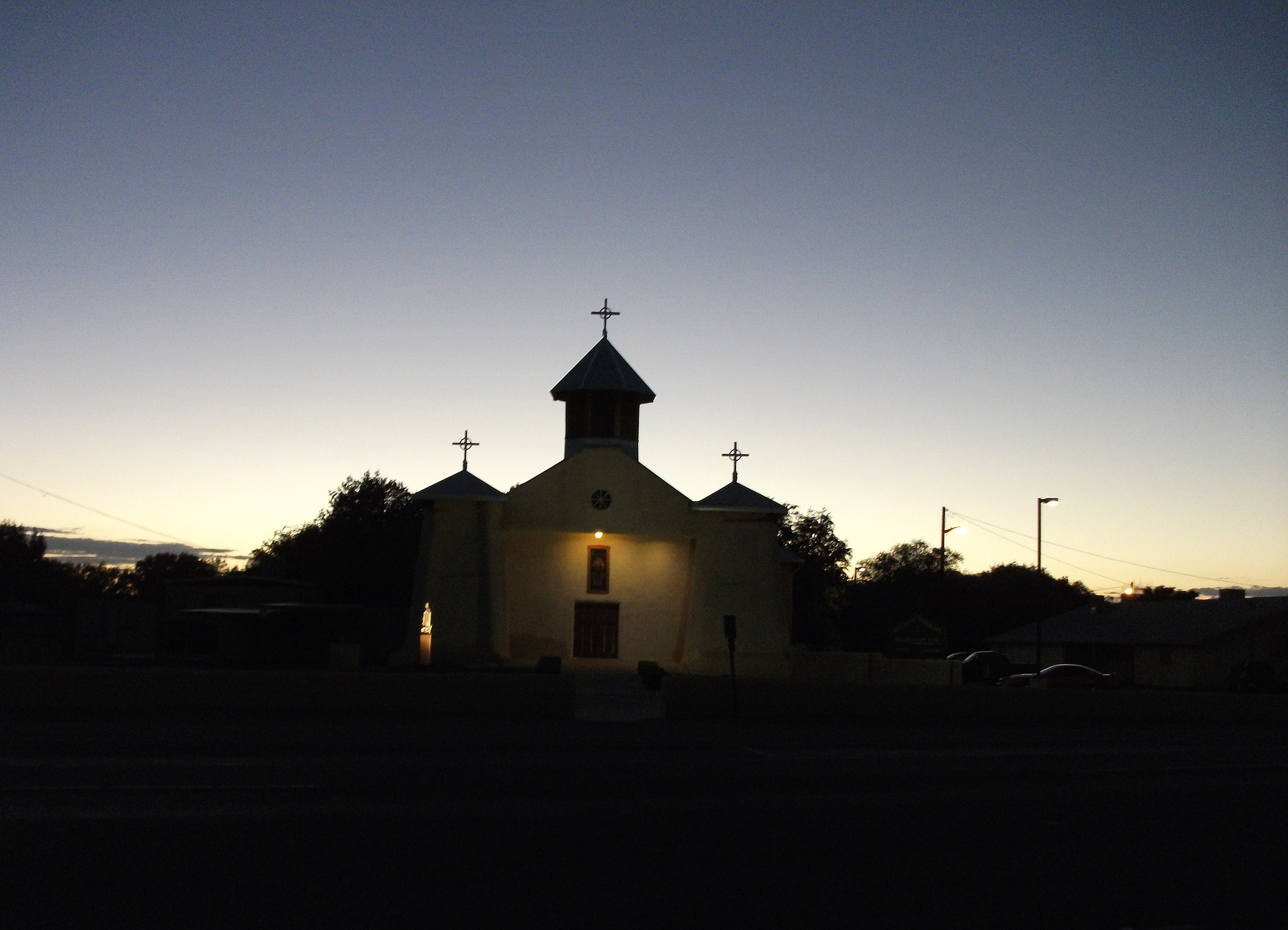
Our Lady of Guadalupe Church @ Dusk
More watermelon.
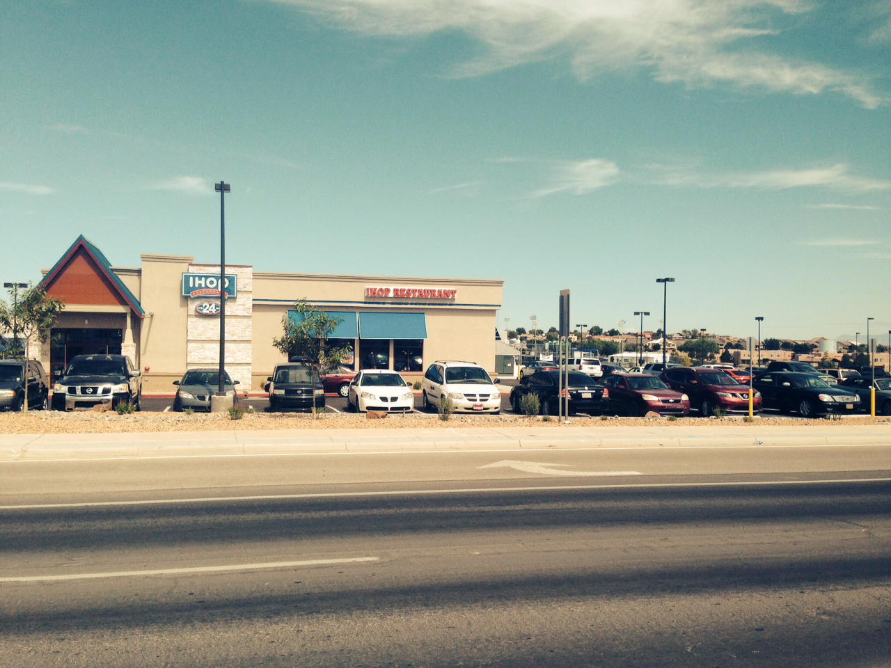
IHOP in Los Lunas
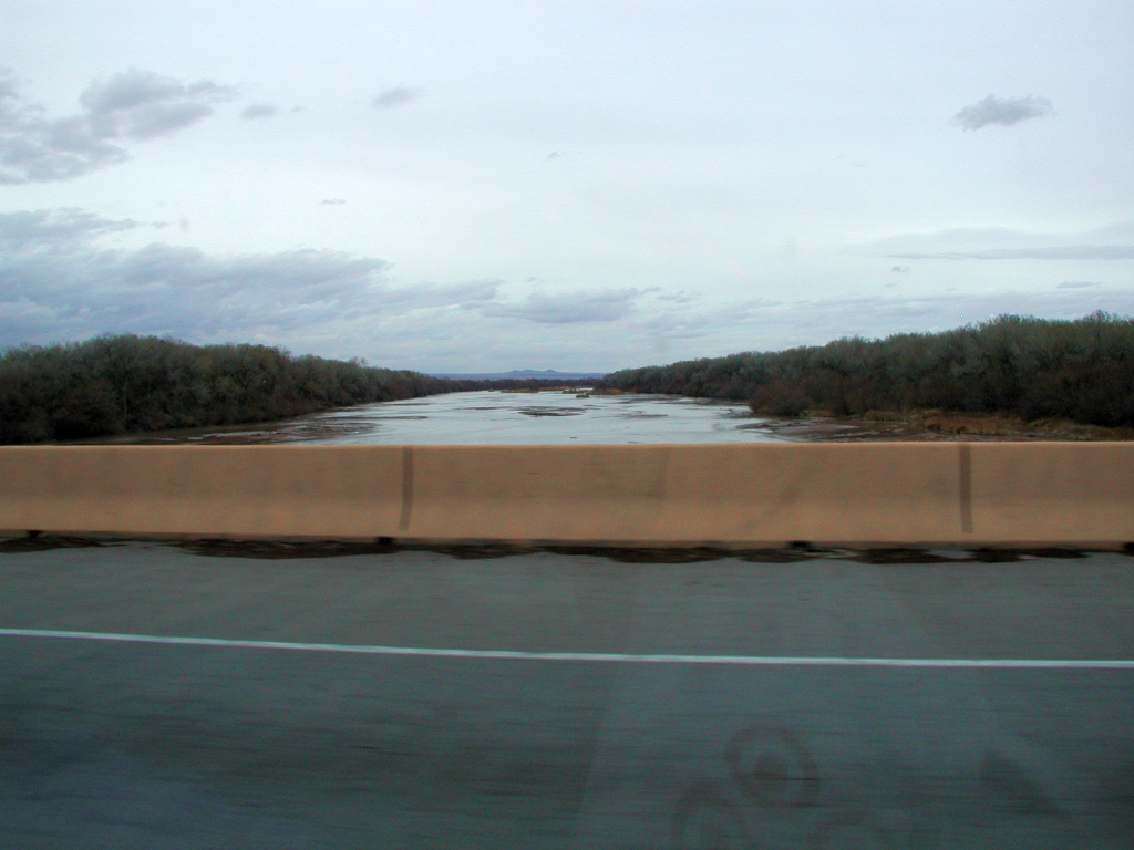
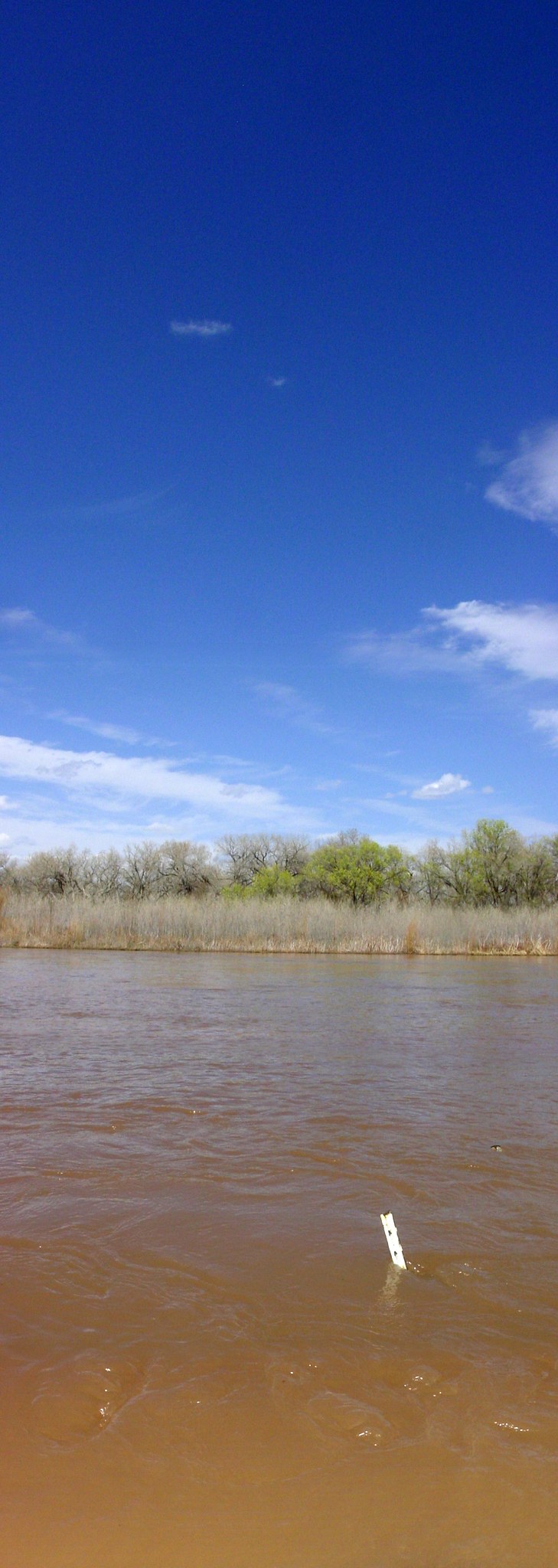
Looking Up The Rio Grande

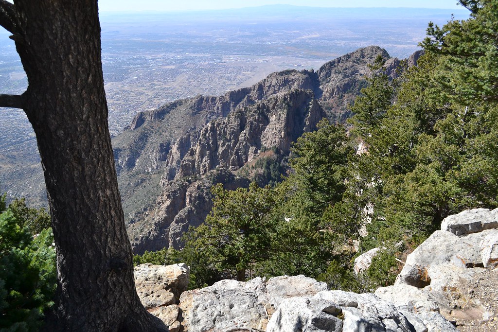
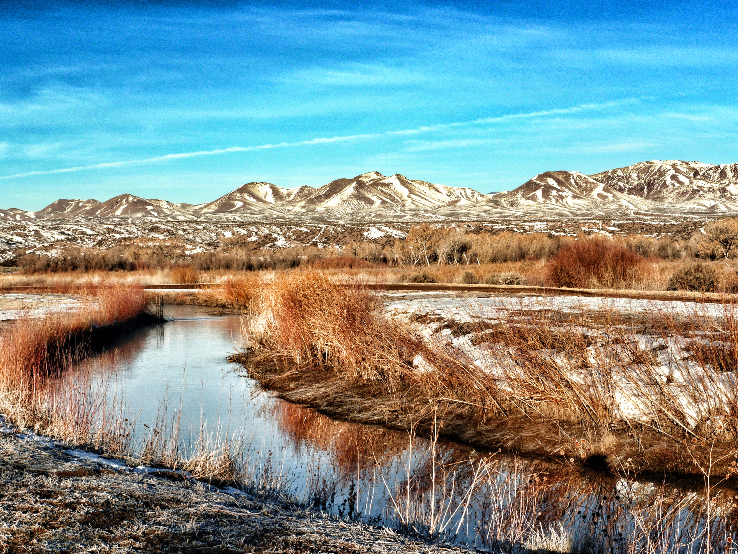
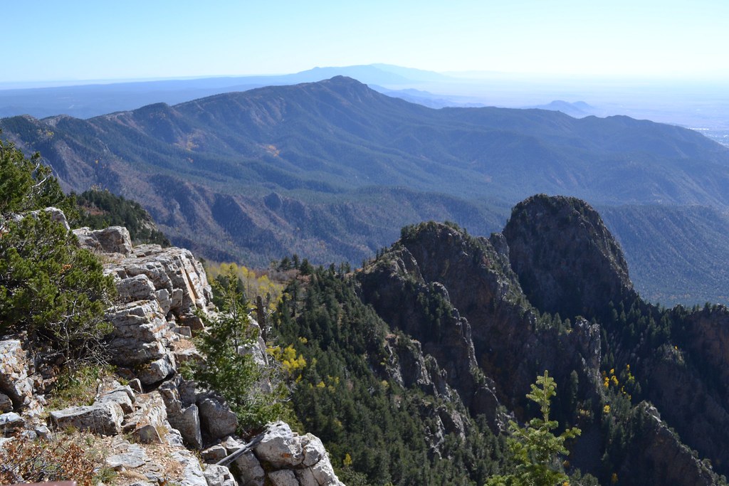
Snow in the Manzanos
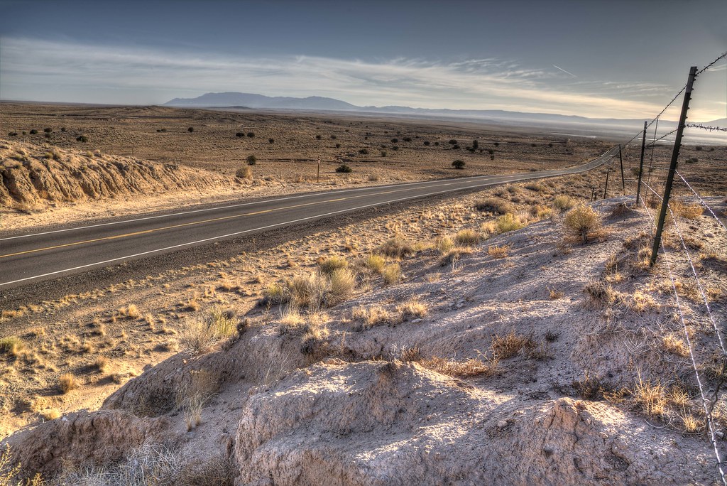
Old Route 66 West of Los Lunas
Bosque Del Apache NWR 3
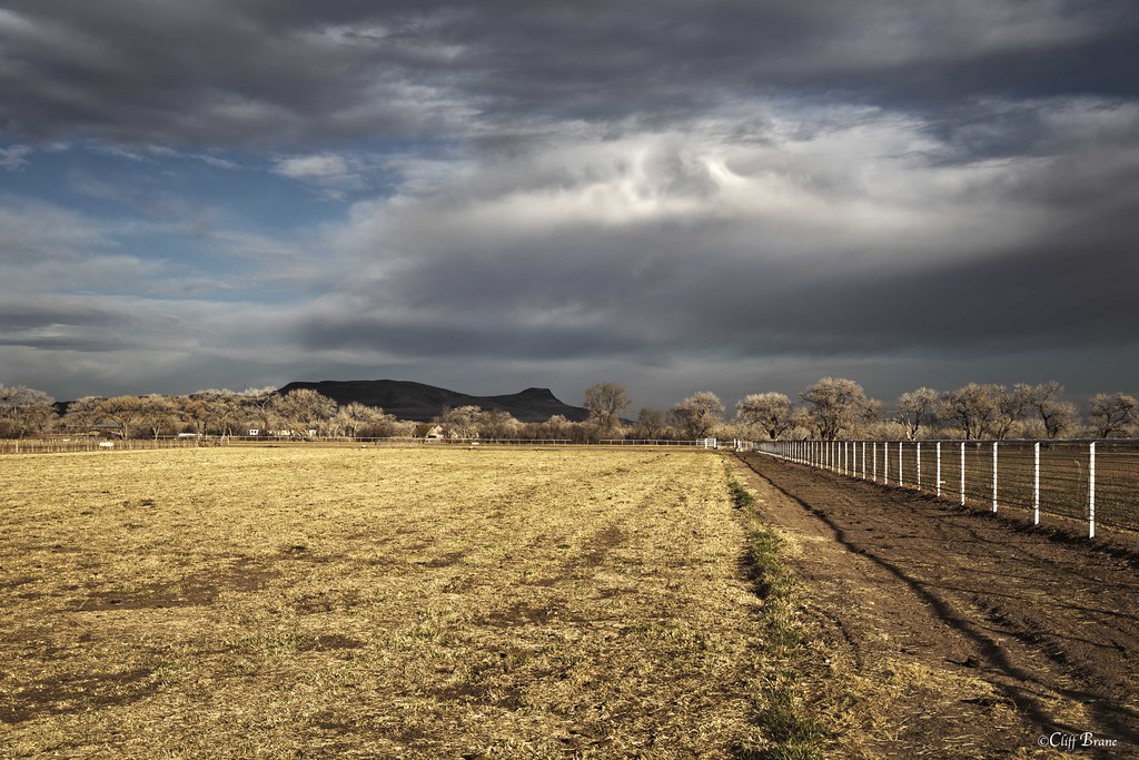
Fence, Field and Cottonwood Trees in Morning Sun - Valencia County, NM

Guard Dog - Long Hours, 3 Squares a Day and a House to Call Your Own

Flood Irrigation - Farm Field Valencia County New Mexico
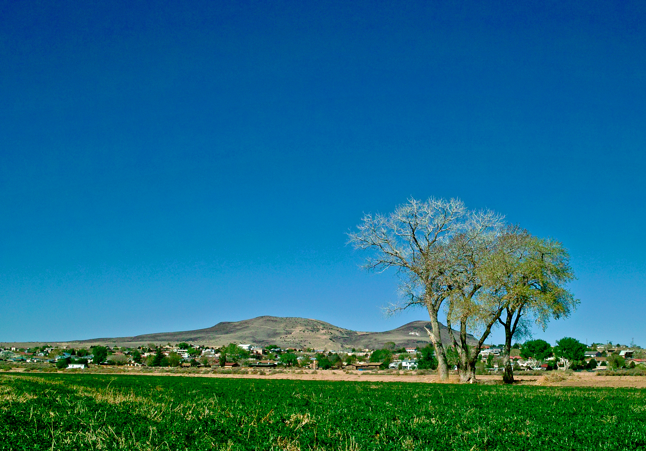
Three Trees
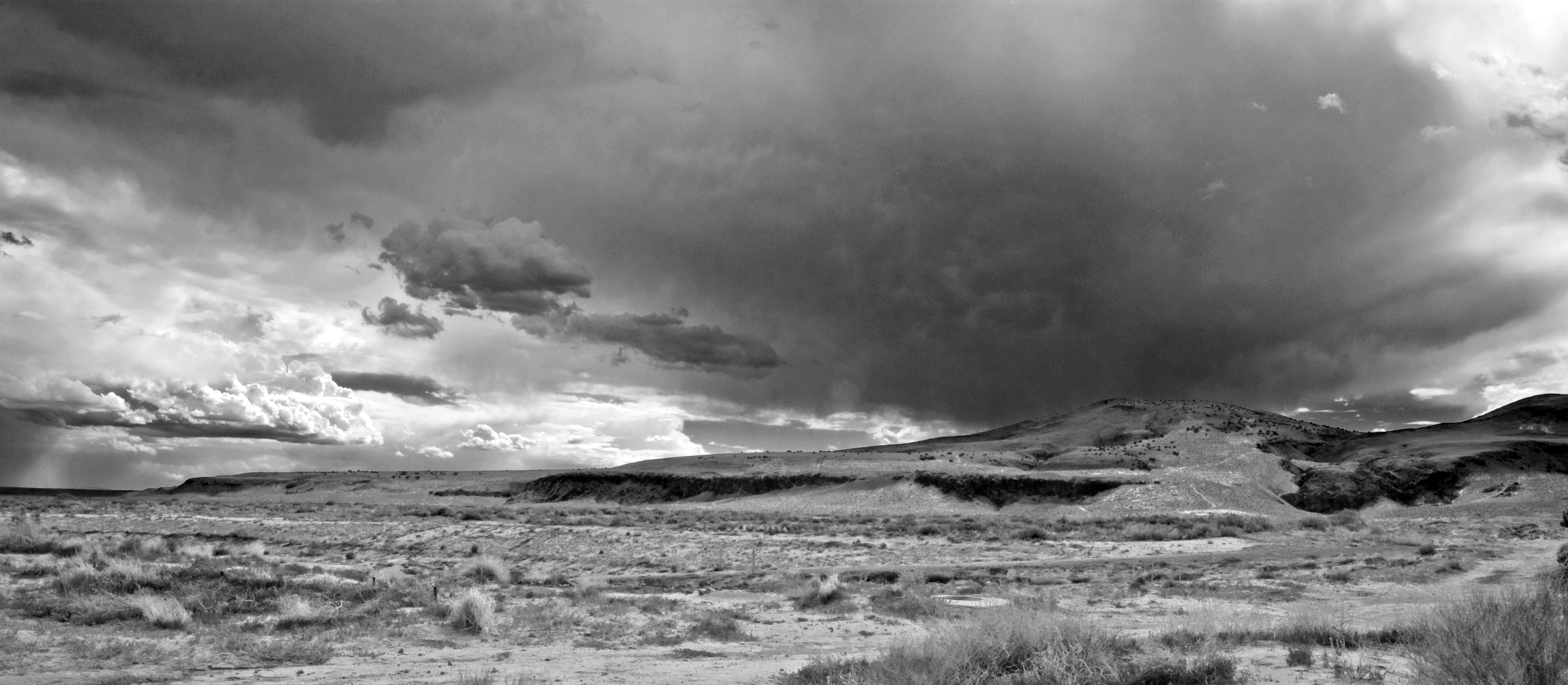
High Desert Mesa Storm Clouds II bw
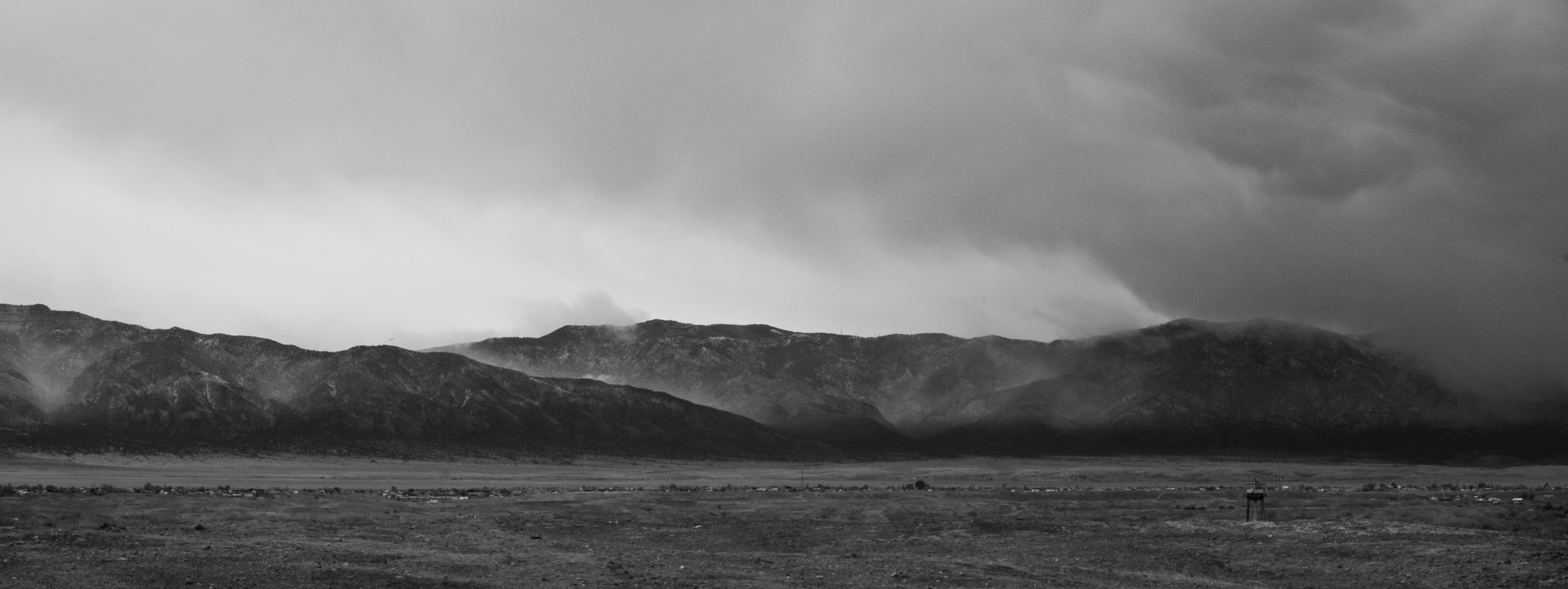
Spring Storm on the Manzano's
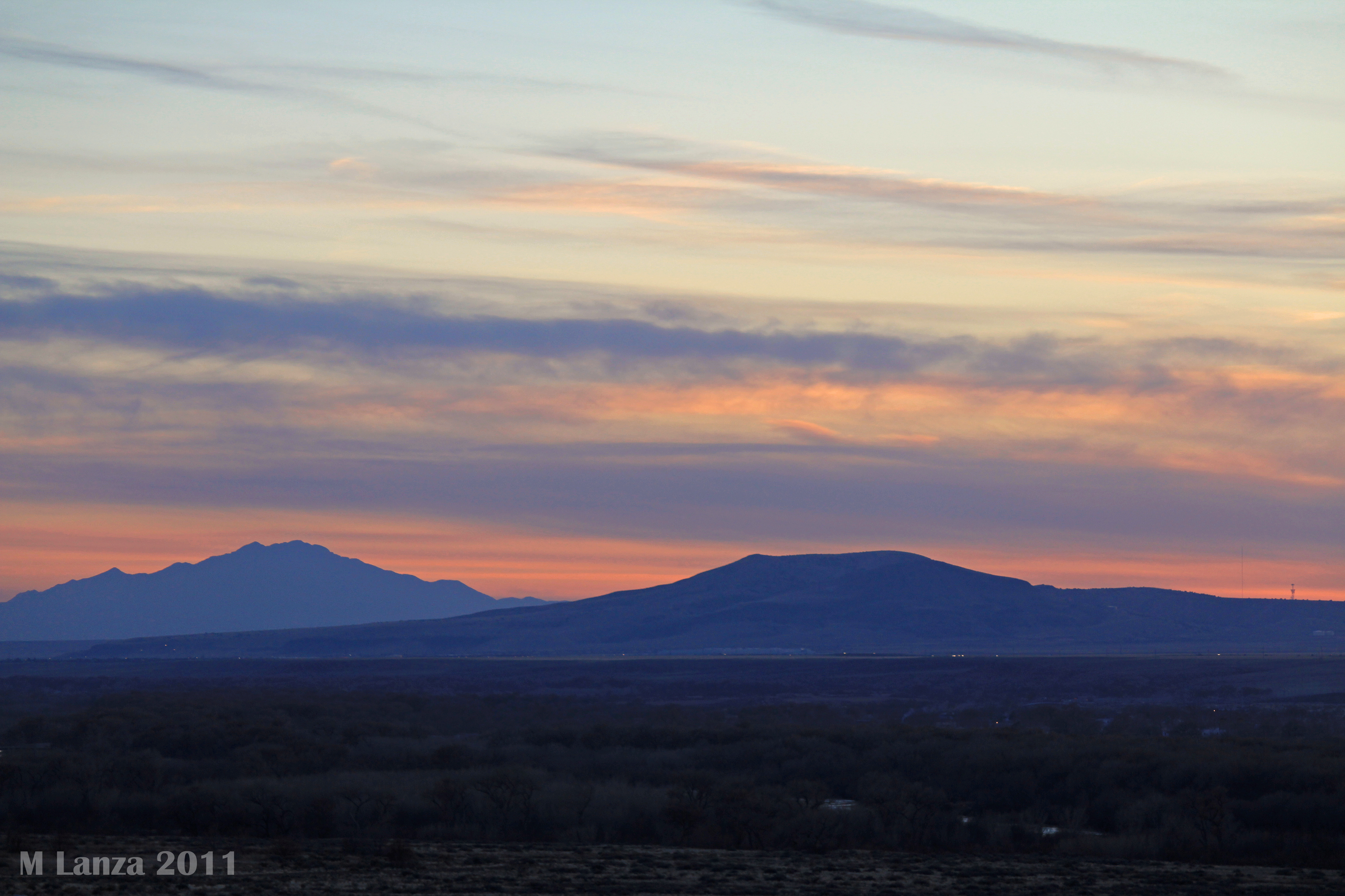
At Sunset South of Albuquerque, NM
Quickie hike.
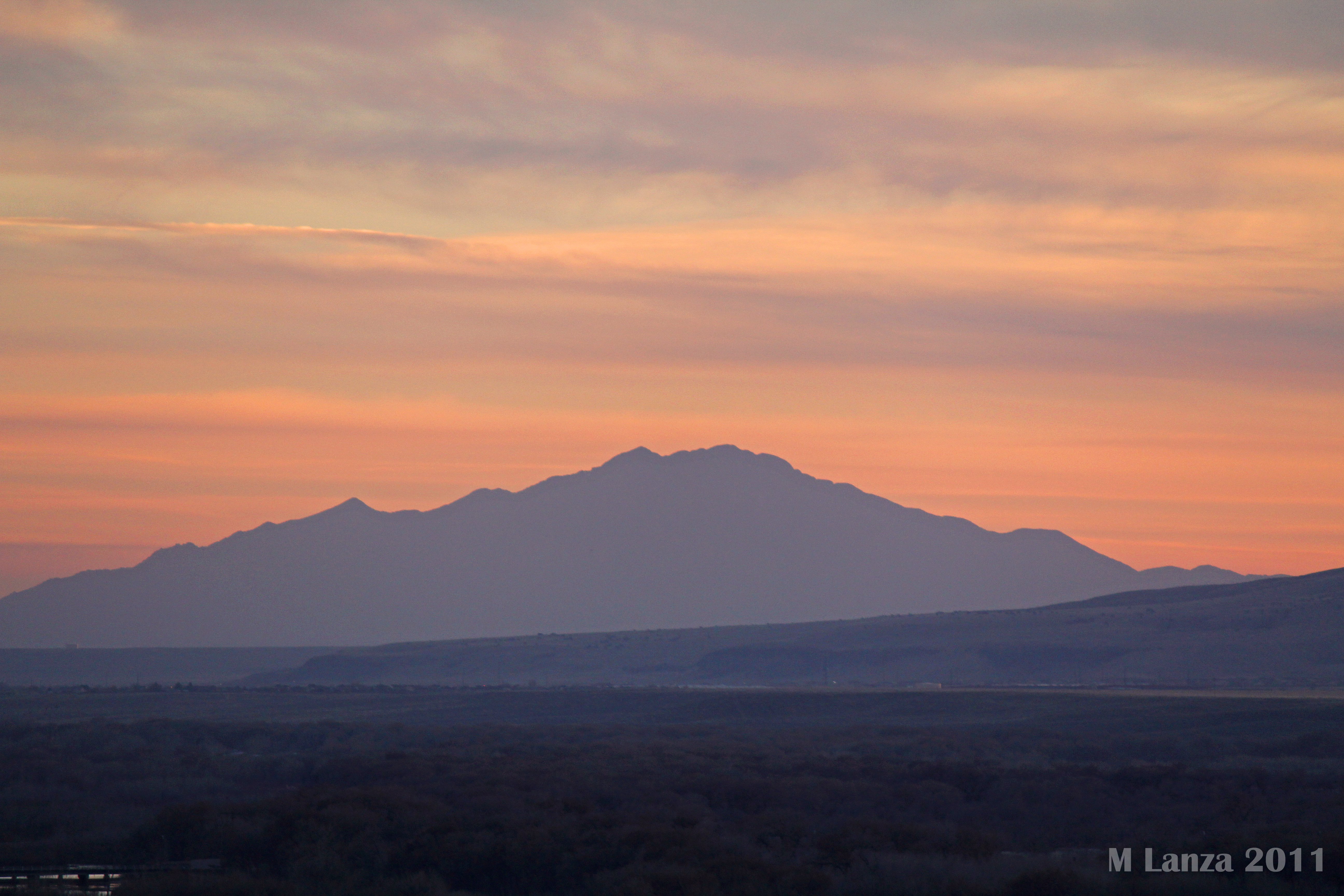
At Sunset South of Albuquerque, NM
watermelons....
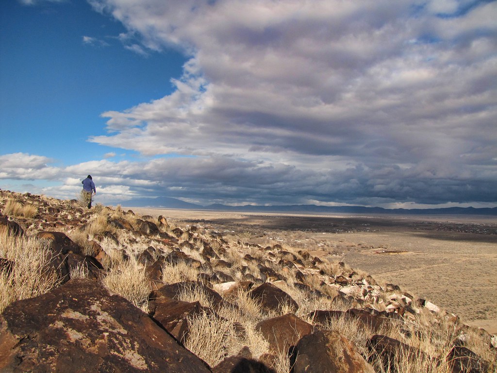
Watching the retreating storm from Tome Hill

Lightly powdered mountians
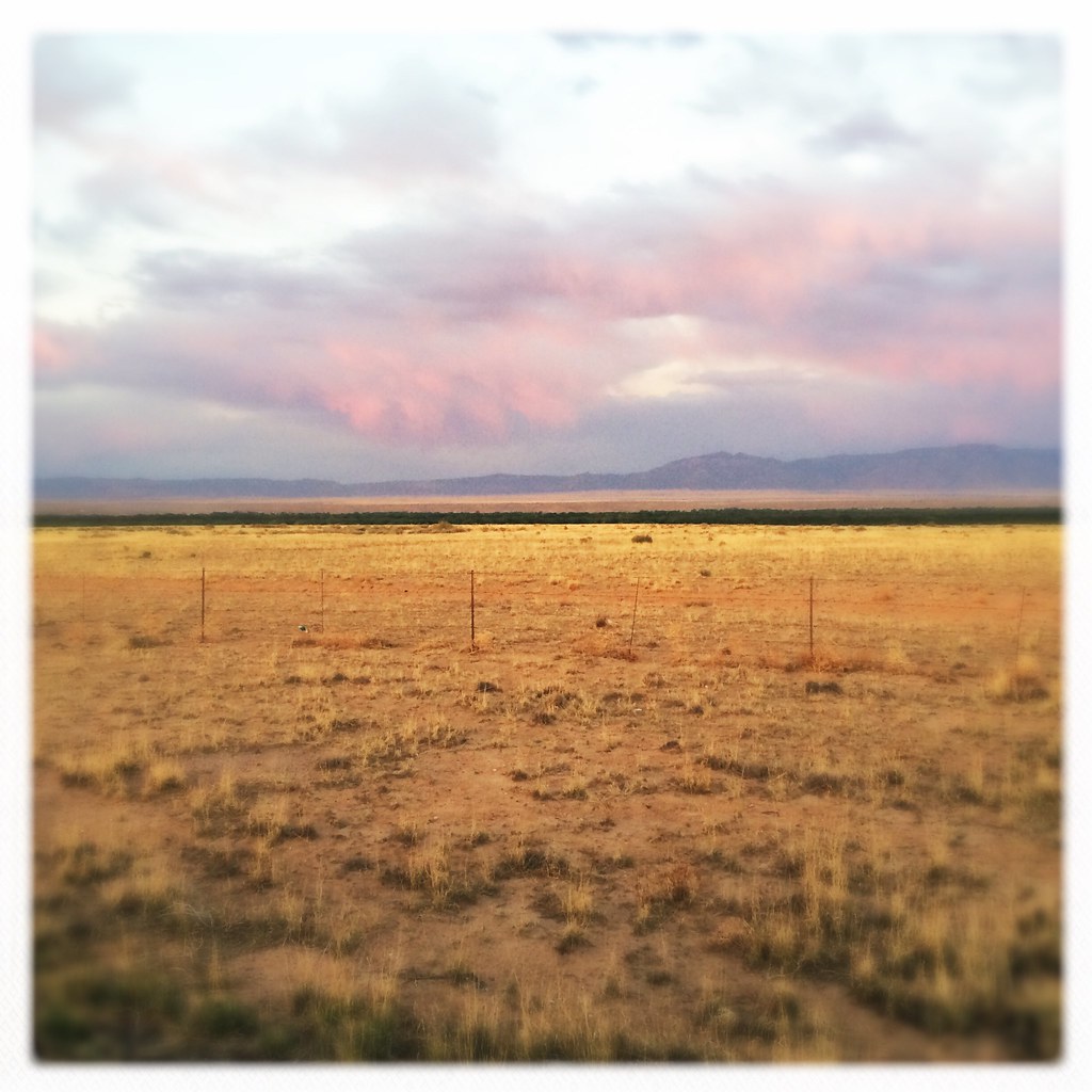
Sunset Albuquerque New Mexico Desert Mountains Sky Clouds Weather IMG_8785
MRG at Los Lunas April 2008 vertislice
Topographic Map of Peralta, NM, USA
Find elevation by address:

Places near Peralta, NM, USA:
335 Pine St
1705 W Bosque Loop
Bosque Farms
1335 Pearl Loop
1570 Lillie Dr
Los Lunas
Alegria Road
1200 Broadview Loop Nw
1073 Avendida Esplendida Nw
Isleta Village Proper, NM, USA
Isleta Village Proper
Denny's
4380 Red River Rd Sw
Isleta Resort & Casino
11000 Broadway Blvd Se
Valle Grande
2806 Palacio Pl Sw
Maplewood Drive Southwest
NM-6, Los Lunas, NM, USA
Recent Searches:
- Elevation of W Granada St, Tampa, FL, USA
- Elevation of Pykes Down, Ivybridge PL21 0BY, UK
- Elevation of Jalan Senandin, Lutong, Miri, Sarawak, Malaysia
- Elevation of Bilohirs'k
- Elevation of 30 Oak Lawn Dr, Barkhamsted, CT, USA
- Elevation of Luther Road, Luther Rd, Auburn, CA, USA
- Elevation of Unnamed Road, Respublika Severnaya Osetiya — Alaniya, Russia
- Elevation of Verkhny Fiagdon, North Ossetia–Alania Republic, Russia
- Elevation of F. Viola Hiway, San Rafael, Bulacan, Philippines
- Elevation of Herbage Dr, Gulfport, MS, USA