Elevation of Penrith Dr, Durham, NC, USA
Location: United States > North Carolina > Durham County > Triangle > Durham >
Longitude: -78.895497
Latitude: 35.9275548
Elevation: 90m / 295feet
Barometric Pressure: 100KPa
Elevation Map:
Satellite Map:
Related Photos:
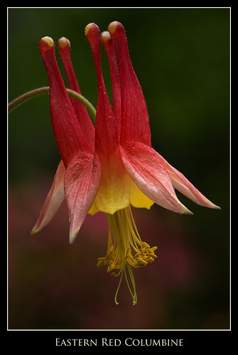
Eastern Red Columbine
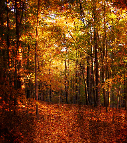
Autumn's Enchanted Forest
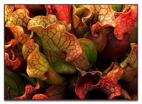
Pitcher Plants

Autumn Roses
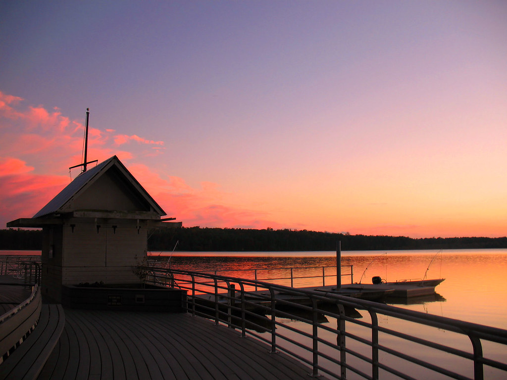
The Boathouse
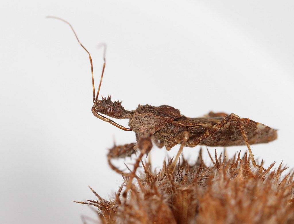
Sinea spinipes

Dig those mouthparts

Red Poppies
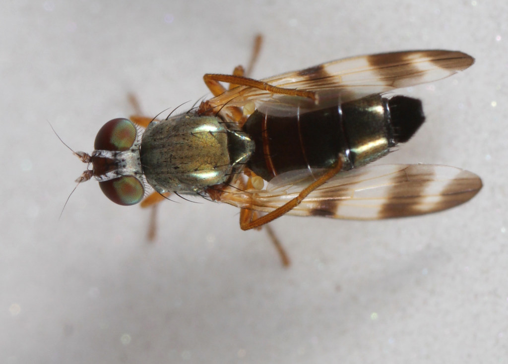
Wing-waving HFDF
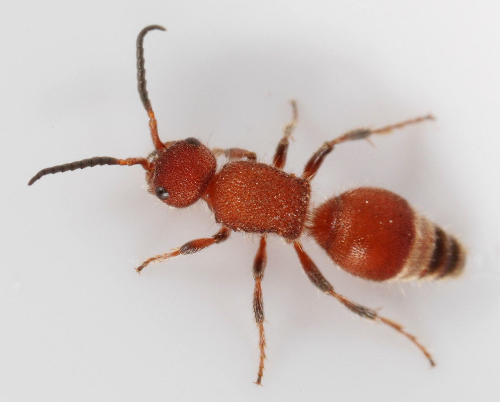
Tiny velvet ant

Oak treehopper

Bibio articulatus
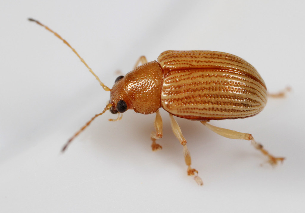
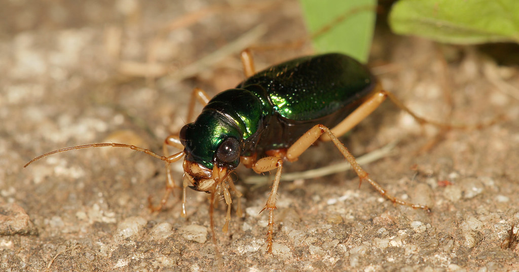
Leaf beetle

Magnolia Green Jumper

Gazebo View
First of year at colony
DIVINE LINES
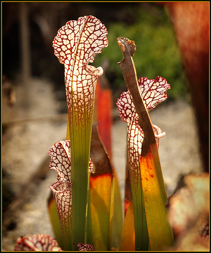
Pitcher Plants
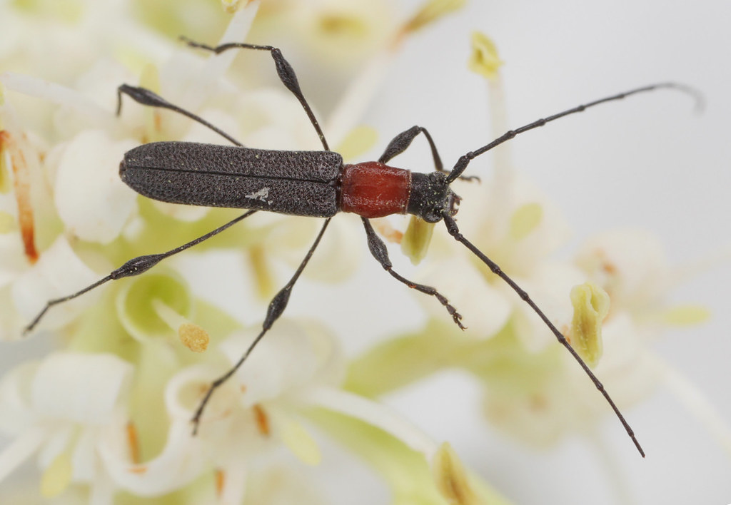
Longhorn on Ligustrum

Oakworm Moth

Leaf-footed nymph
Topographic Map of Penrith Dr, Durham, NC, USA
Find elevation by address:

Places near Penrith Dr, Durham, NC, USA:
5309 Middleton Rd
Carpenter-fletcher
1729 E Cornwallis Rd
1150 Pebble Creek Crossing
Triangle
Hope Valley Farms North
421 Tall Oaks Dr
421 Tall Oaks Dr
Gable Ridge Drive
4514 Dolwick Dr
Parkwood
519 Wheeling Cir
Crooked Creek
902 Chalmers St
29 Donnybrook Ct
8 Kilary Dr
200 W Woodcroft Pkwy
8 Wexford Dr
625 Windsong Ln
Woodcroft
Recent Searches:
- Elevation of East W.T. Harris Boulevard, E W.T. Harris Blvd, Charlotte, NC, USA
- Elevation of West Sugar Creek, Charlotte, NC, USA
- Elevation of Wayland, NY, USA
- Elevation of Steadfast Ct, Daphne, AL, USA
- Elevation of Lagasgasan, X+CQH, Tiaong, Quezon, Philippines
- Elevation of Rojo Ct, Atascadero, CA, USA
- Elevation of Flagstaff Drive, Flagstaff Dr, North Carolina, USA
- Elevation of Avery Ln, Lakeland, FL, USA
- Elevation of Woolwine, VA, USA
- Elevation of Lumagwas Diversified Farmers Multi-Purpose Cooperative, Lumagwas, Adtuyon, RV32+MH7, Pangantucan, Bukidnon, Philippines