Elevation of Pedernales, Chih., Mexico
Location: Mexico > Chihuahua >
Longitude: -107.10861
Latitude: 28.4108333
Elevation: 2239m / 7346feet
Barometric Pressure: 77KPa
Elevation Map:
Satellite Map:
Related Photos:

Camino a casa.
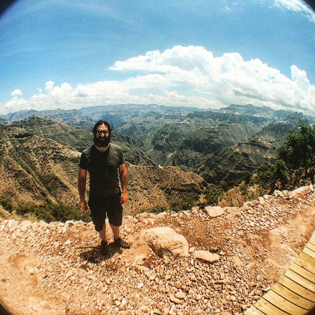
#tirolesas #barrancadelcobre #travellingviews @olloclip
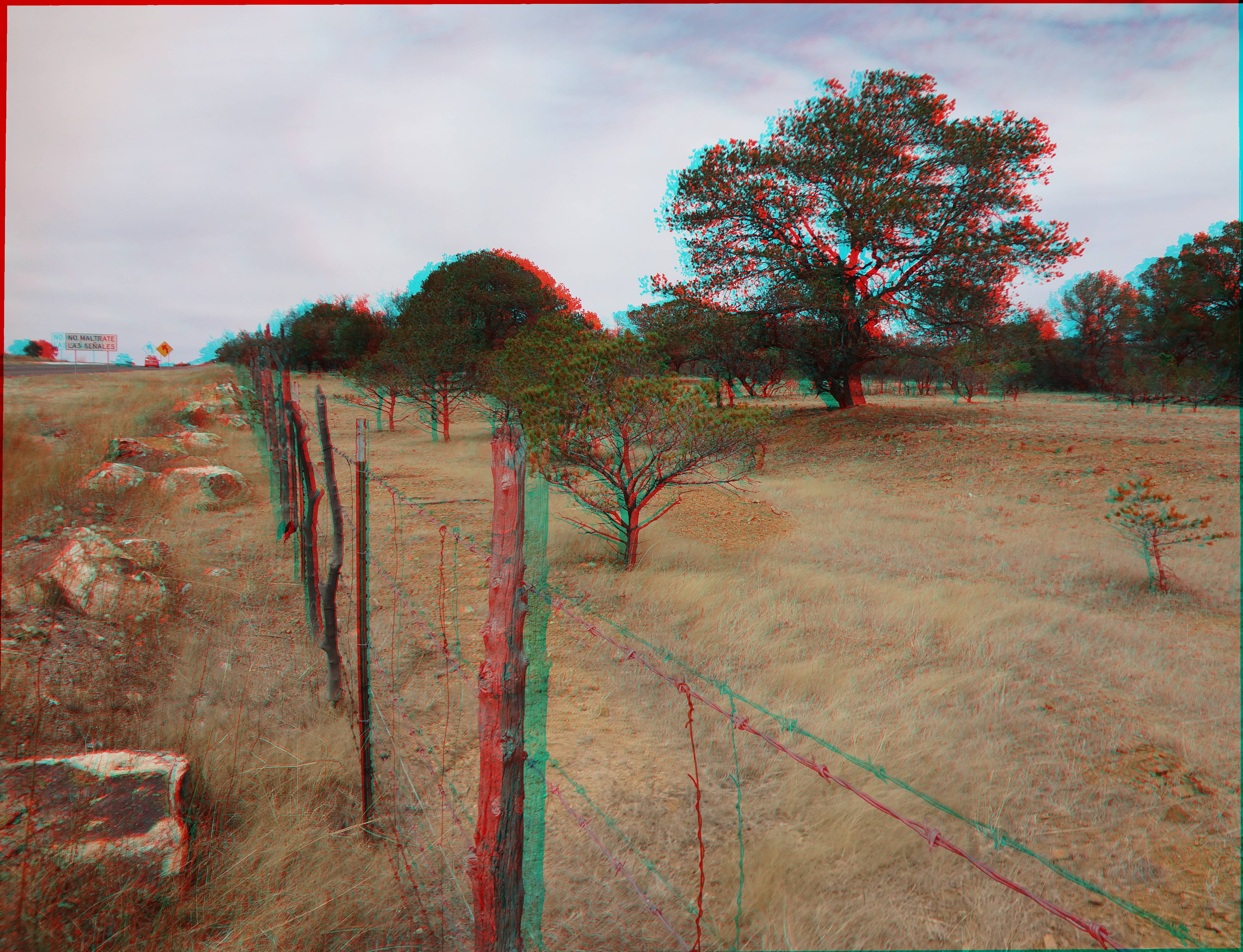
Cerco.
P1030421.jpg
Topographic Map of Pedernales, Chih., Mexico
Find elevation by address:

Places near Pedernales, Chih., Mexico:
Recent Searches:
- Elevation of Leguwa, Nepal
- Elevation of County Rd, Enterprise, AL, USA
- Elevation of Kolchuginsky District, Vladimir Oblast, Russia
- Elevation of Shustino, Vladimir Oblast, Russia
- Elevation of Lampiasi St, Sarasota, FL, USA
- Elevation of Elwyn Dr, Roanoke Rapids, NC, USA
- Elevation of Congressional Dr, Stevensville, MD, USA
- Elevation of Bellview Rd, McLean, VA, USA
- Elevation of Stage Island Rd, Chatham, MA, USA
- Elevation of Shibuya Scramble Crossing, 21 Udagawacho, Shibuya City, Tokyo -, Japan