Elevation map of Pecos County, TX, USA
Location: United States > Texas >
Longitude: -102.62162
Latitude: 30.8253214
Elevation: 923m / 3028feet
Barometric Pressure: 91KPa
Elevation Map:
Satellite Map:
Related Photos:
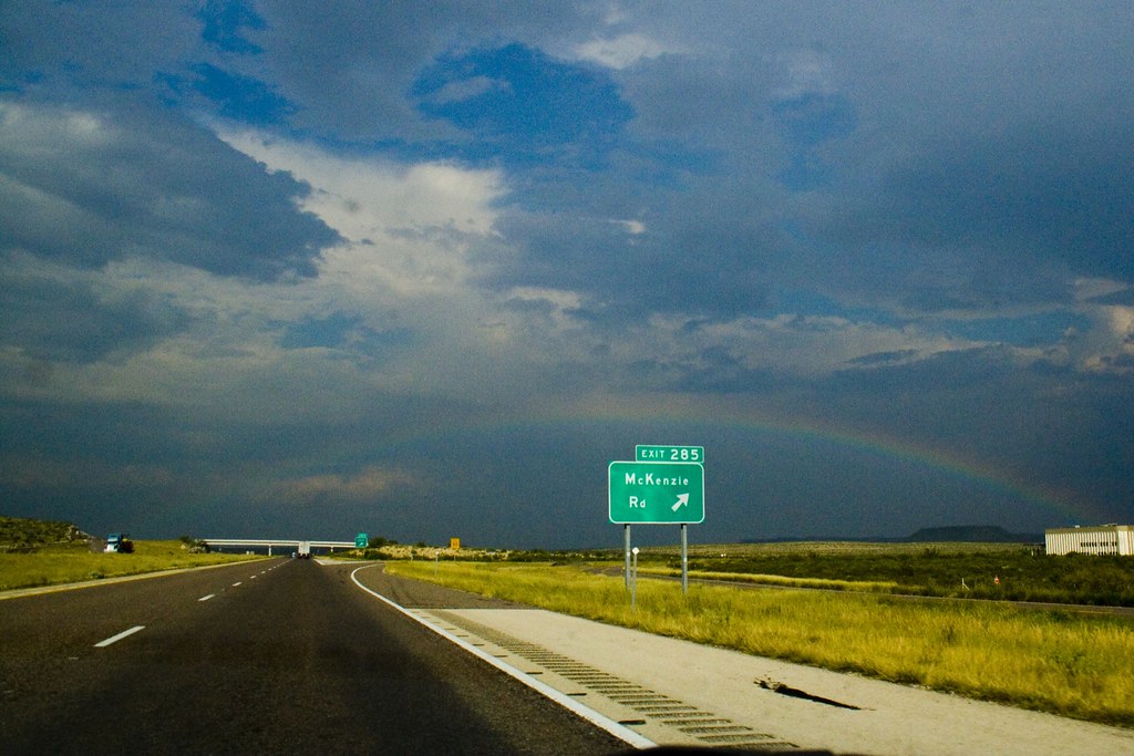
Will there Ever Be a Rainbow..
20081222157.jpg

West 15

Work in progress

Good Morning everyone!

Moving to Las Cruces NM

Moving to Las Cruces NM
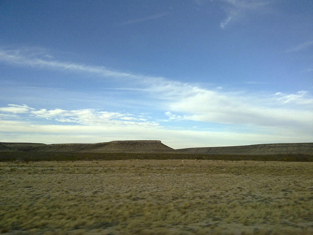
Texas prairie

08 10 12_9656.jpg
08 10 12_9676.jpg

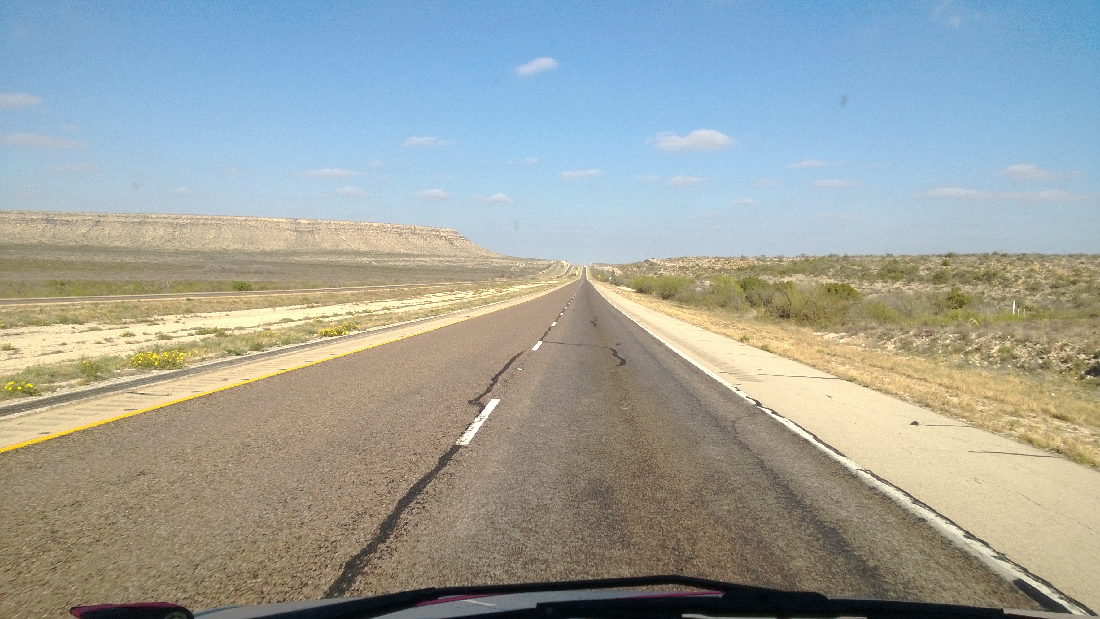
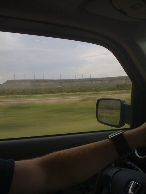
Route I-10

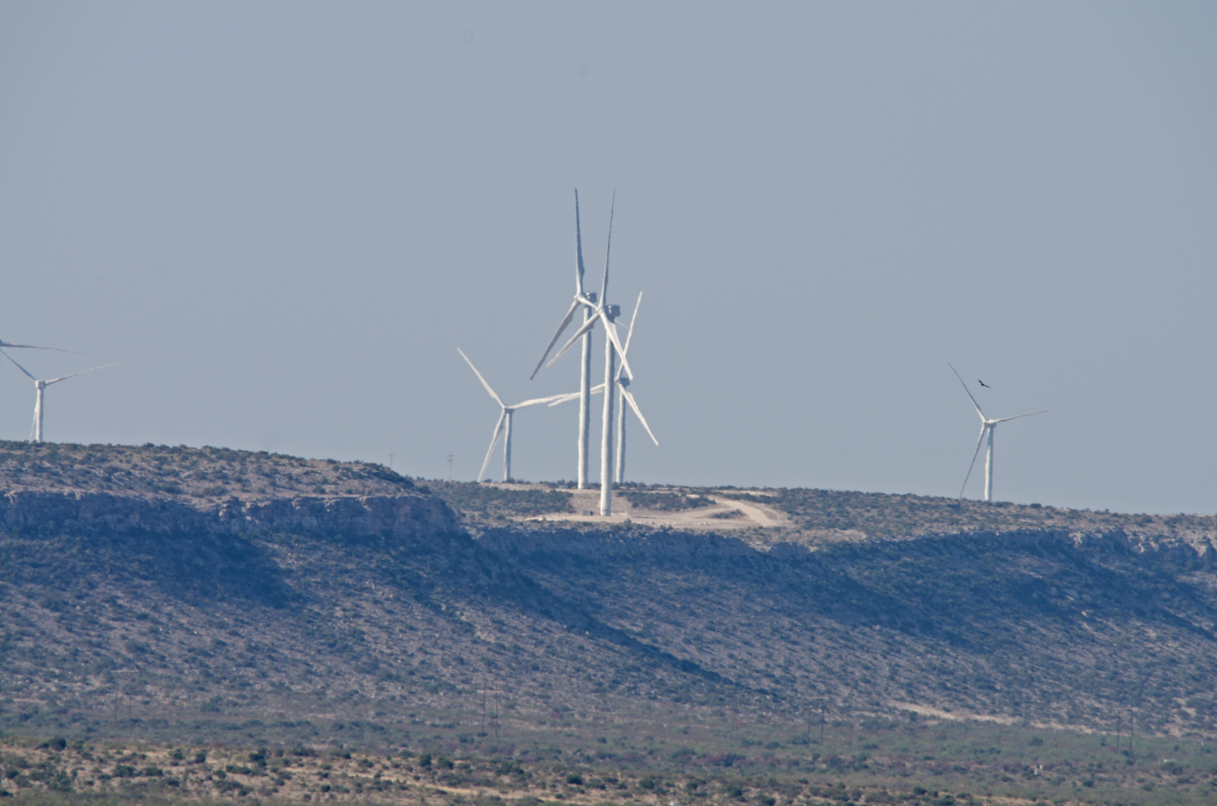
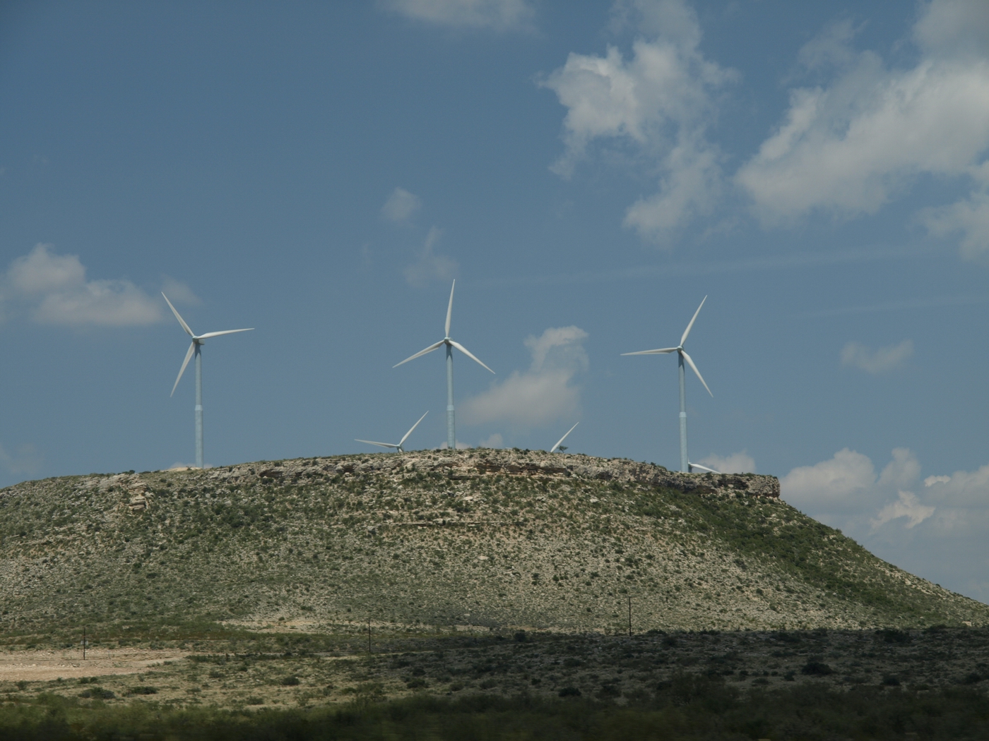
More wind turbines, it looked like they went on forever!
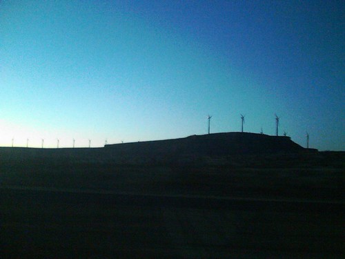
There they are!!!
Marfa Labour Day 2009 074

This is the result of driving all day through west Texas
Jul 27, 2008
Topographic Map of Pecos County, TX, USA
Find elevation by address:

Places in Pecos County, TX, USA:
Places near Pecos County, TX, USA:
Sanderson
E 6th St, Iraan, TX, USA
Terrell County
Sheffield
Dryden
US-90, Dryden, TX, USA
Fm 1024
Langtry
Recent Searches:
- Elevation of Corso Fratelli Cairoli, 35, Macerata MC, Italy
- Elevation of Tallevast Rd, Sarasota, FL, USA
- Elevation of 4th St E, Sonoma, CA, USA
- Elevation of Black Hollow Rd, Pennsdale, PA, USA
- Elevation of Oakland Ave, Williamsport, PA, USA
- Elevation of Pedrógão Grande, Portugal
- Elevation of Klee Dr, Martinsburg, WV, USA
- Elevation of Via Roma, Pieranica CR, Italy
- Elevation of Tavkvetili Mountain, Georgia
- Elevation of Hartfords Bluff Cir, Mt Pleasant, SC, USA