Elevation of Pearblossom, CA, USA
Location: United States > California > Los Angeles County >
Longitude: -117.90968
Latitude: 34.5064141
Elevation: 929m / 3048feet
Barometric Pressure: 91KPa
Elevation Map:
Satellite Map:
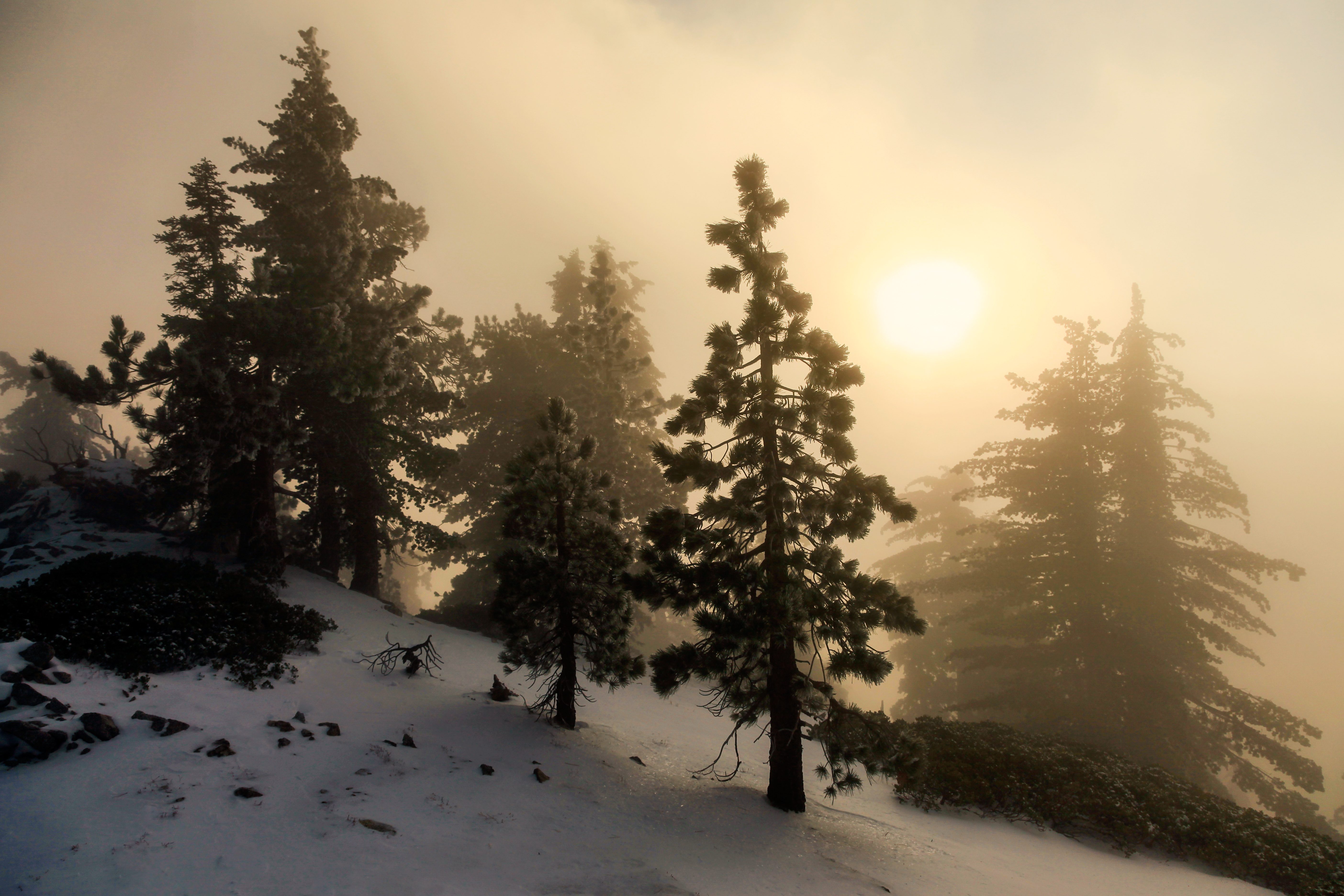
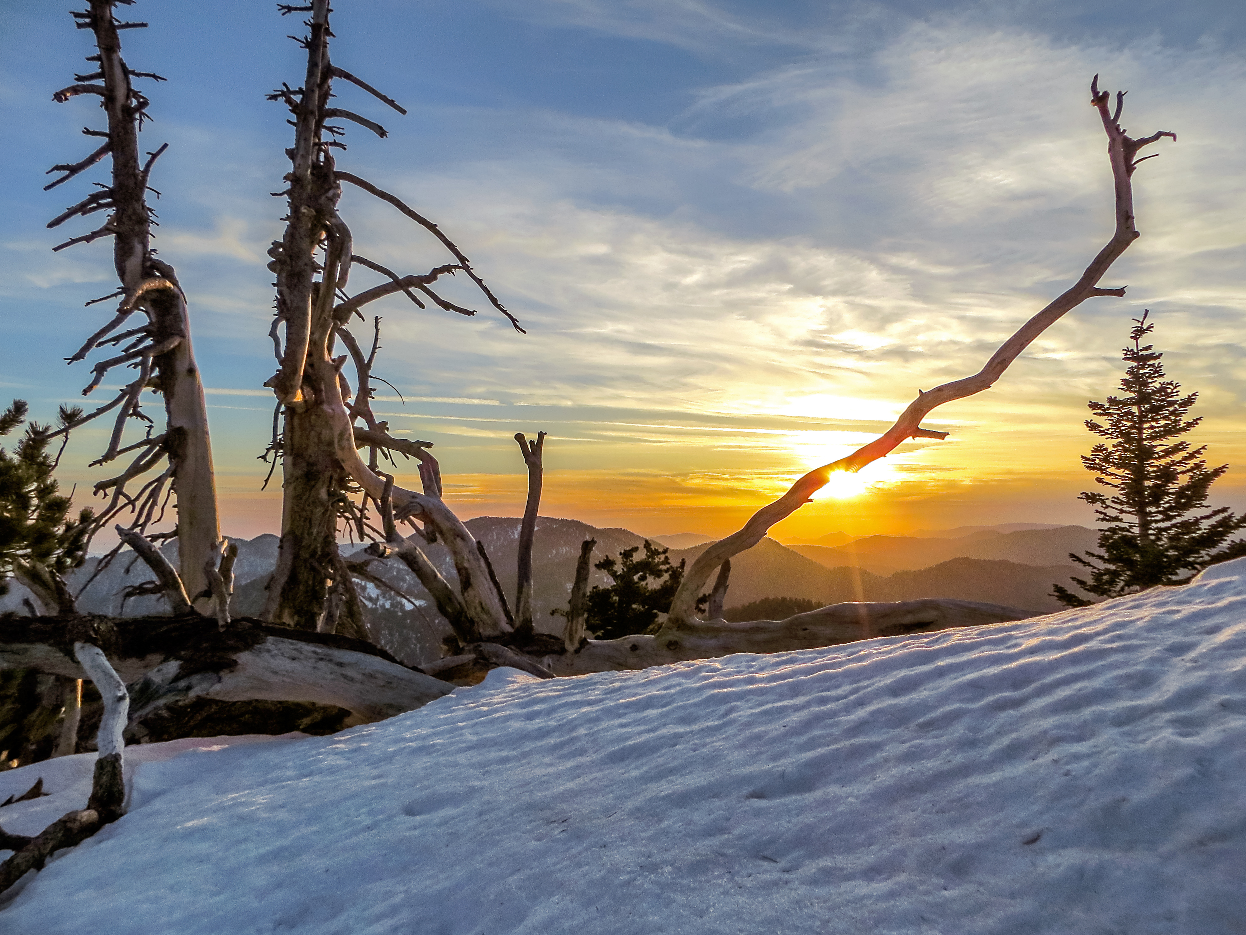
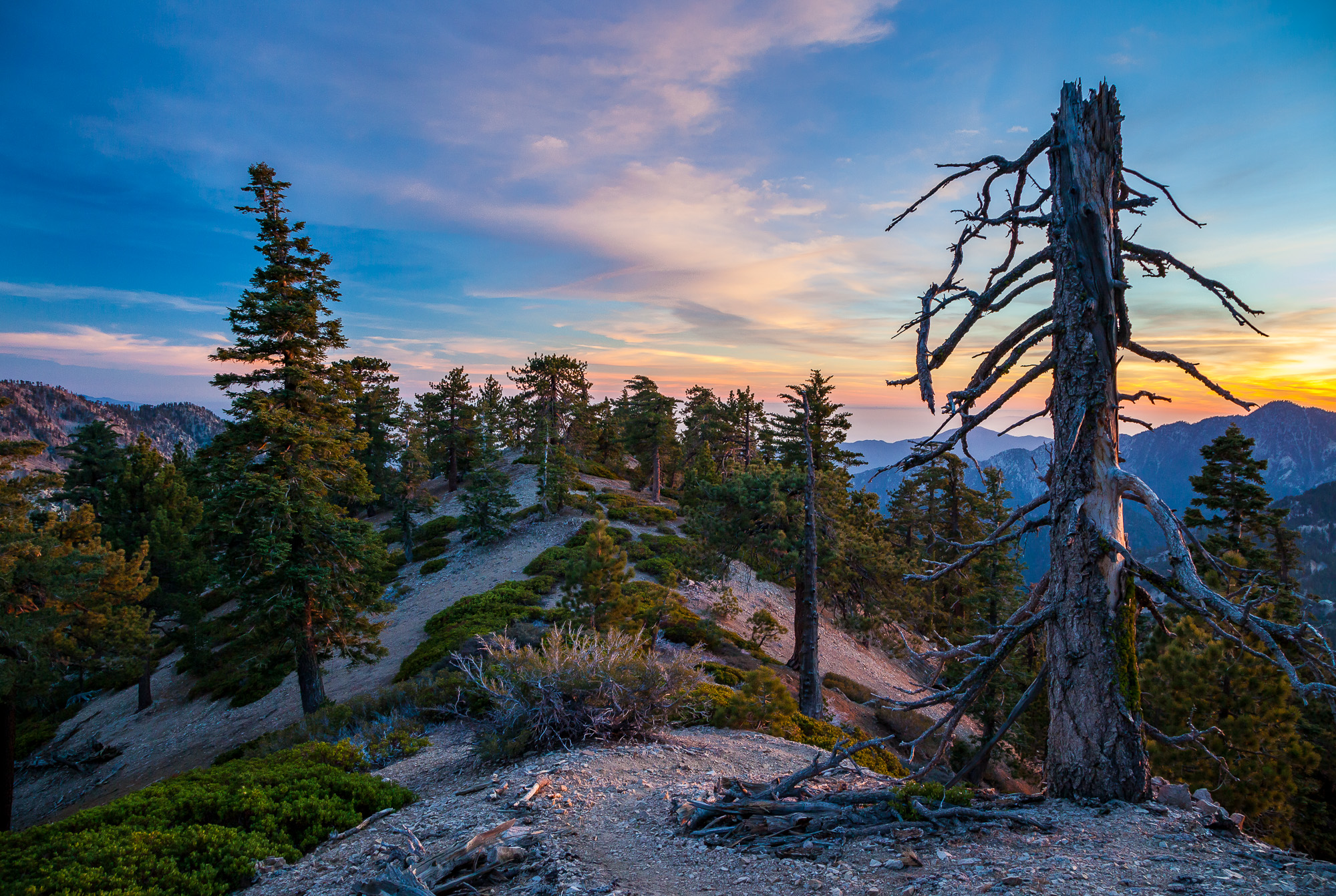
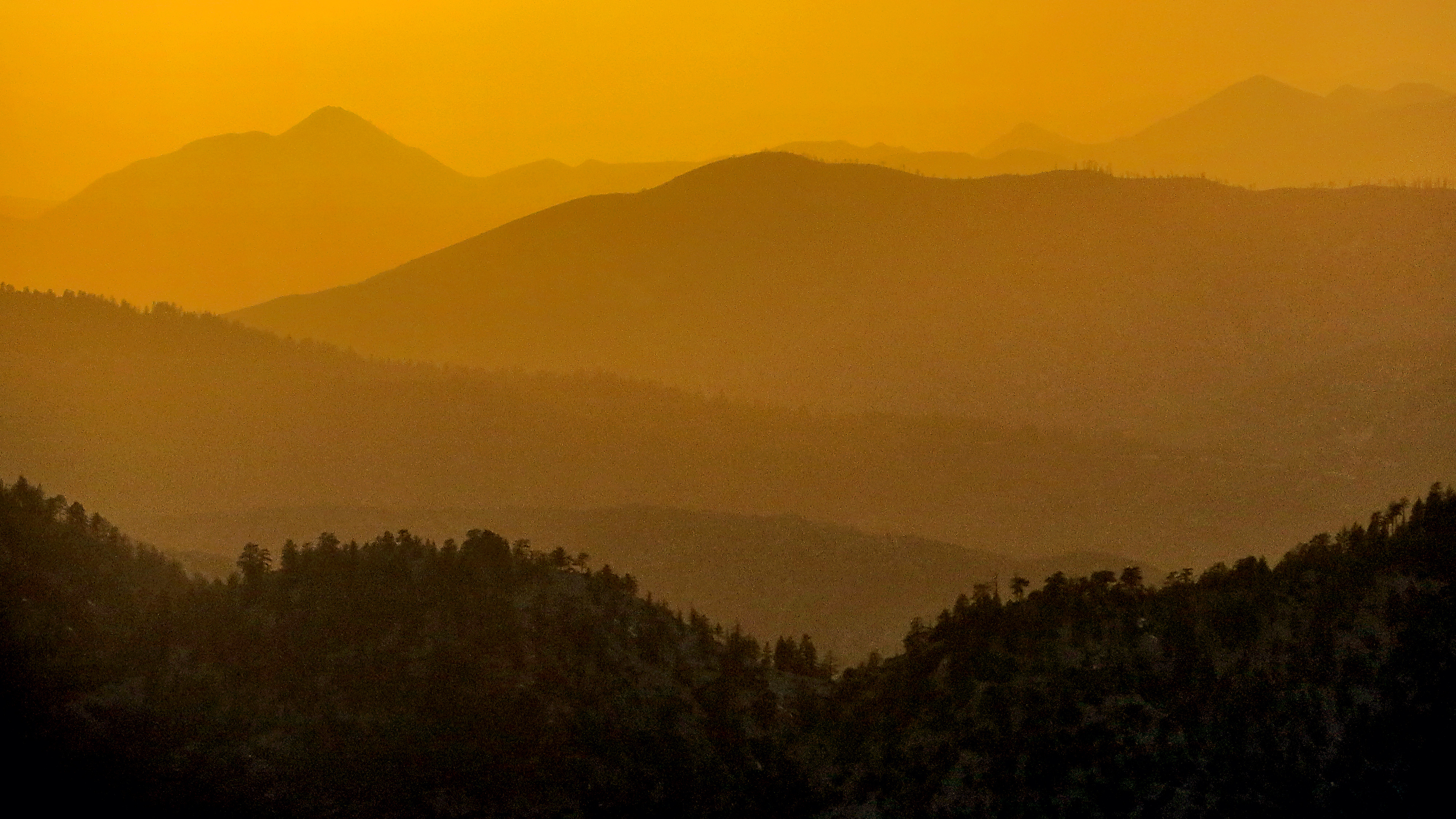
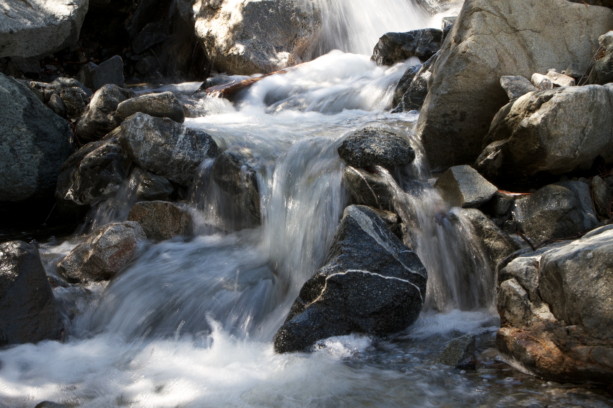
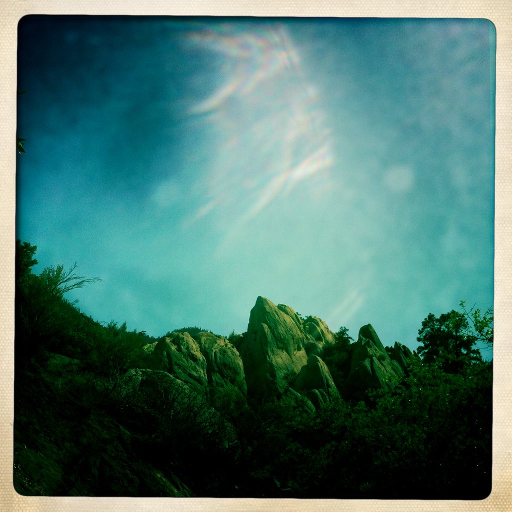
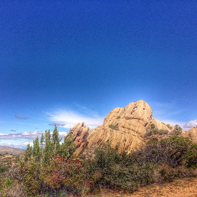
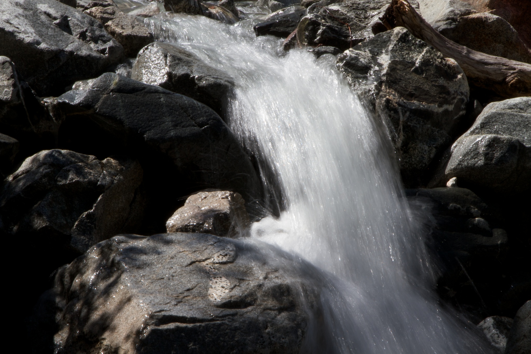
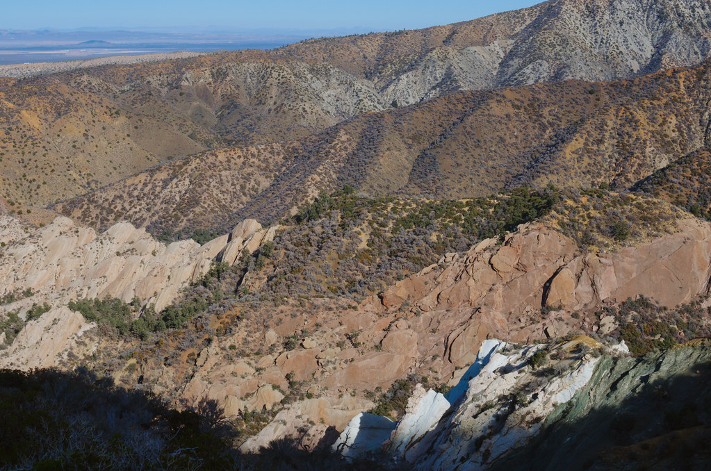
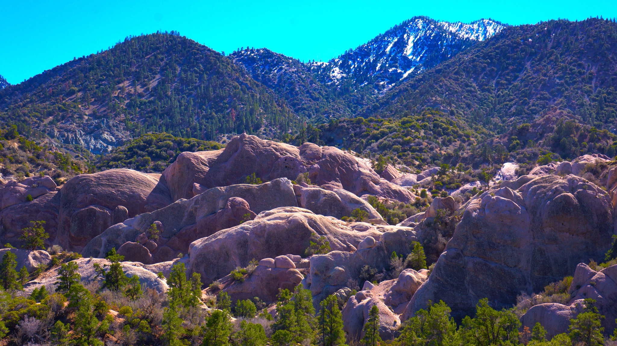
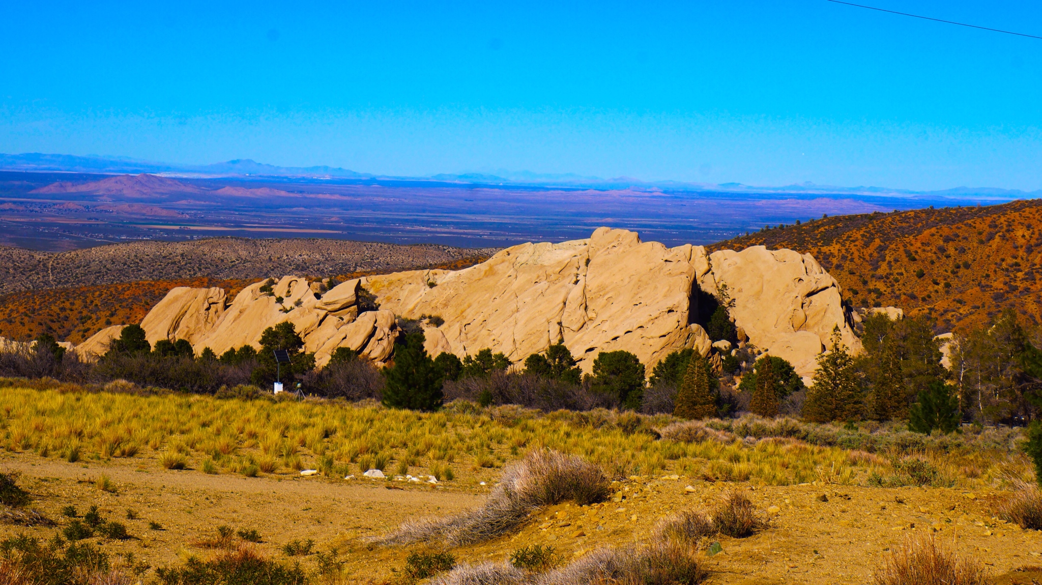
Related Photos:
Things can never be the same

Darkness Sets

Clearing Storm, Mount Williamson
Snowy Summit, Project 365: 61/365
Life is harsh on the ridge.
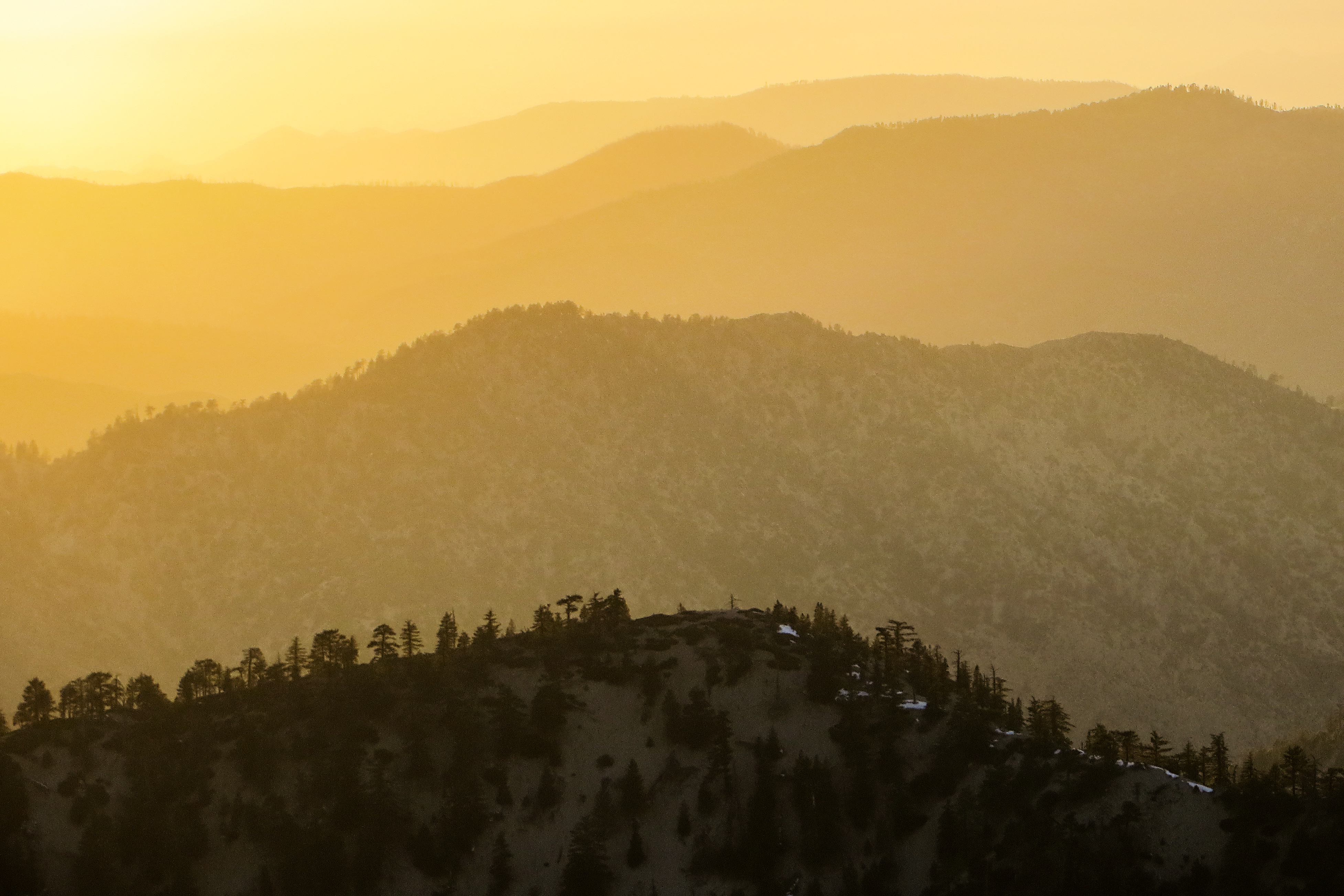
Tangerine Topography

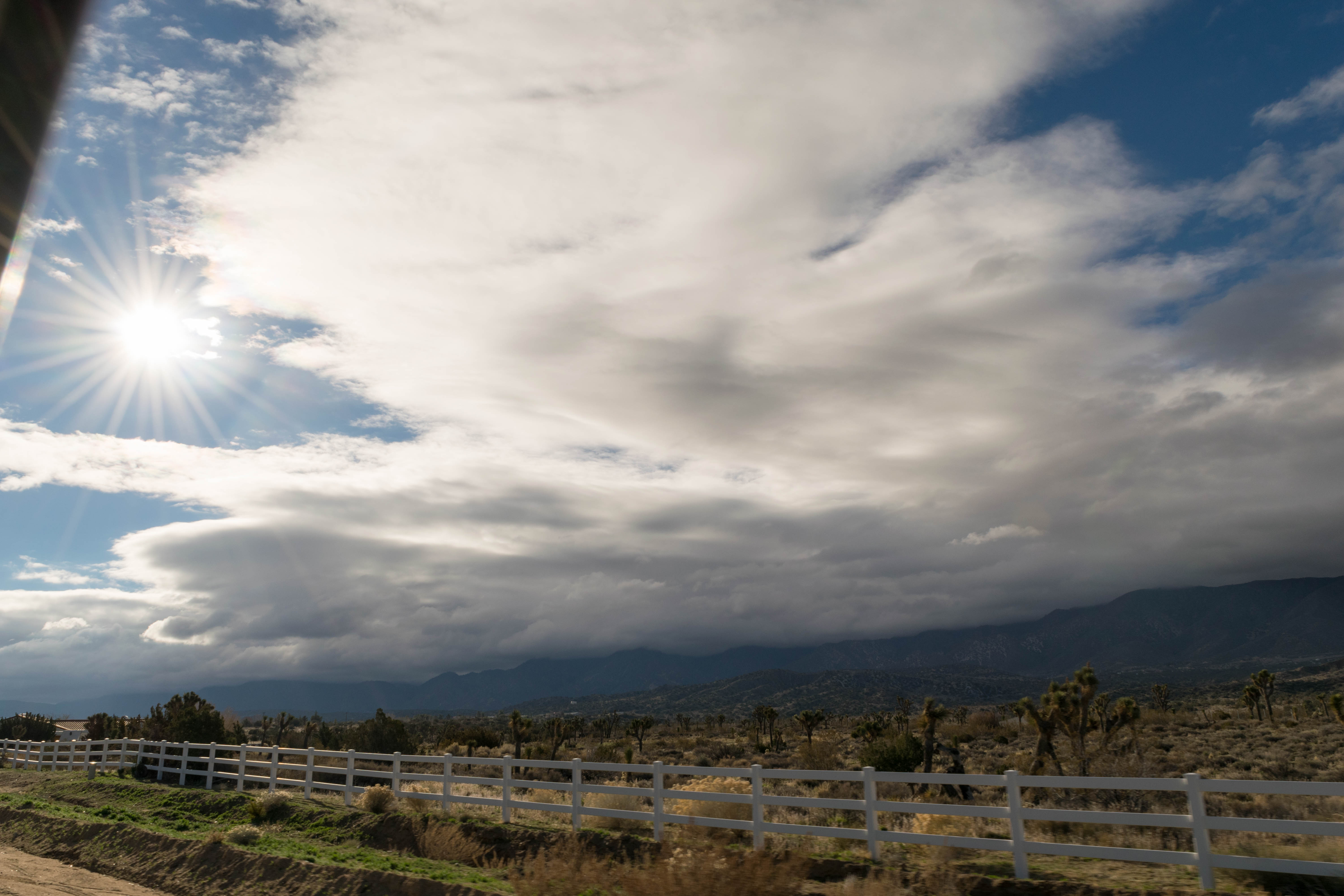
Merry Christmas from the High Desert

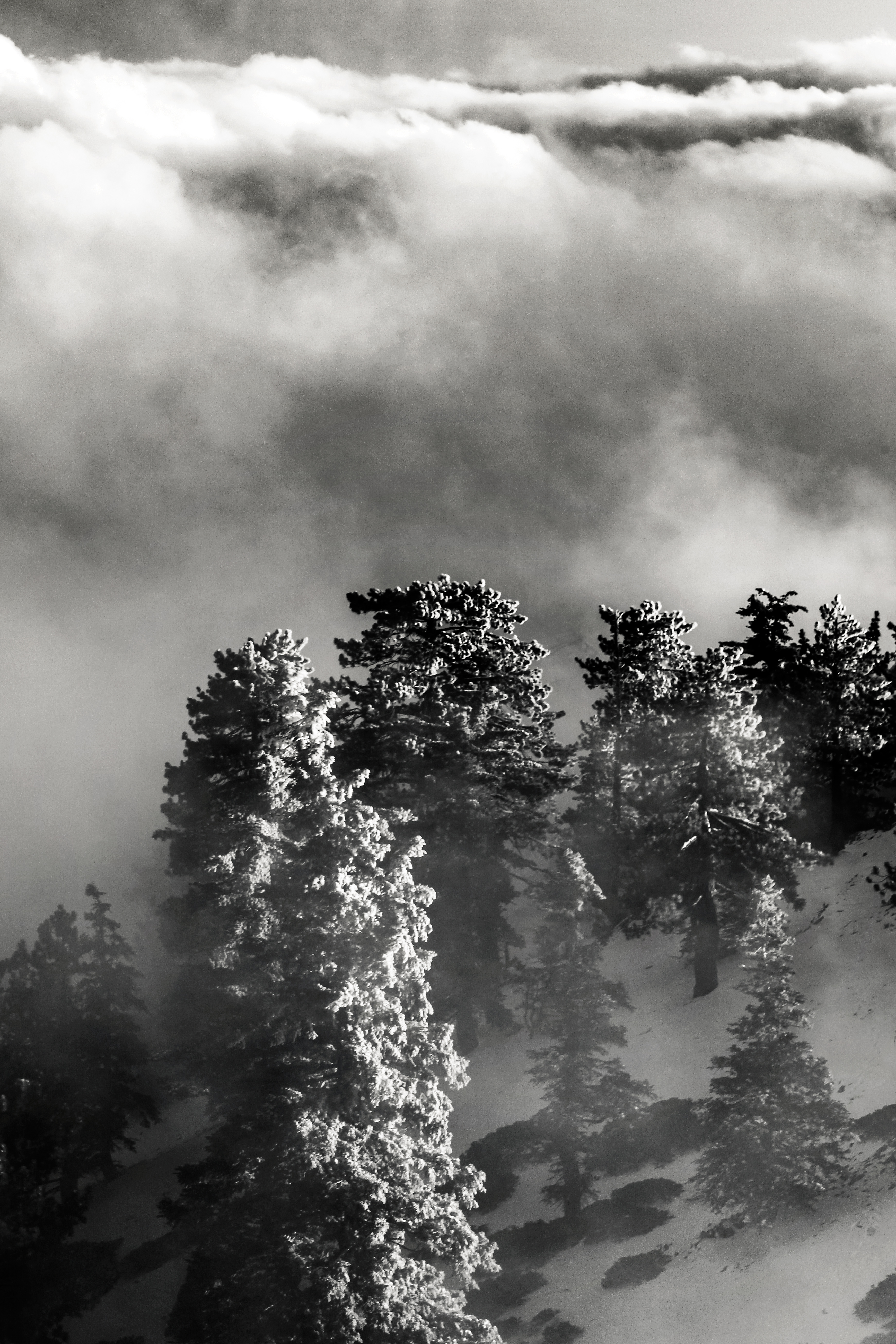
Winter on Mount Williamson
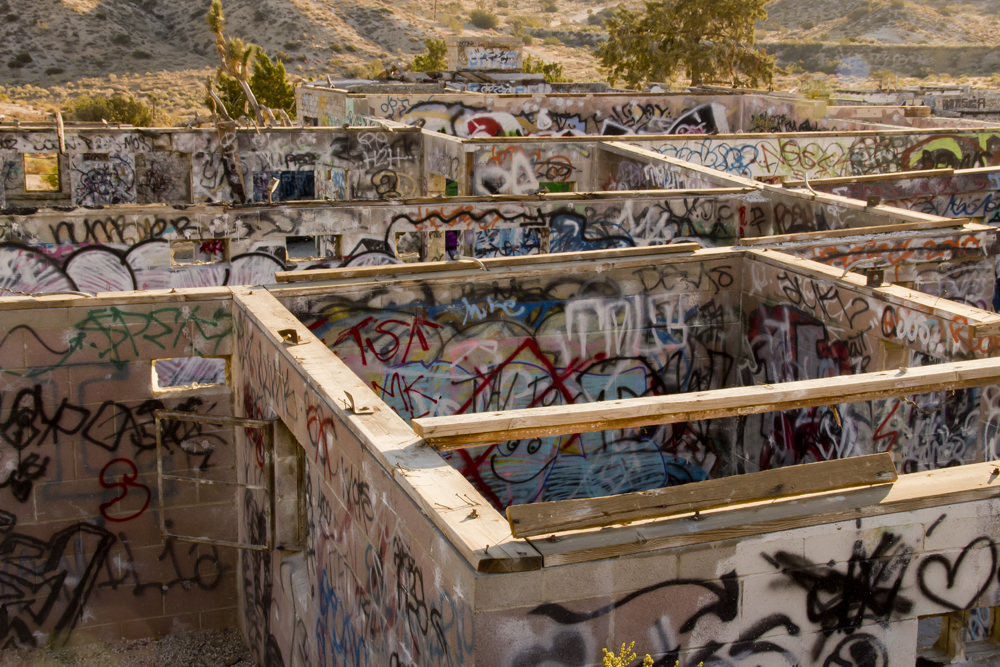
Asylum: Top View
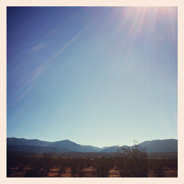
Desert view
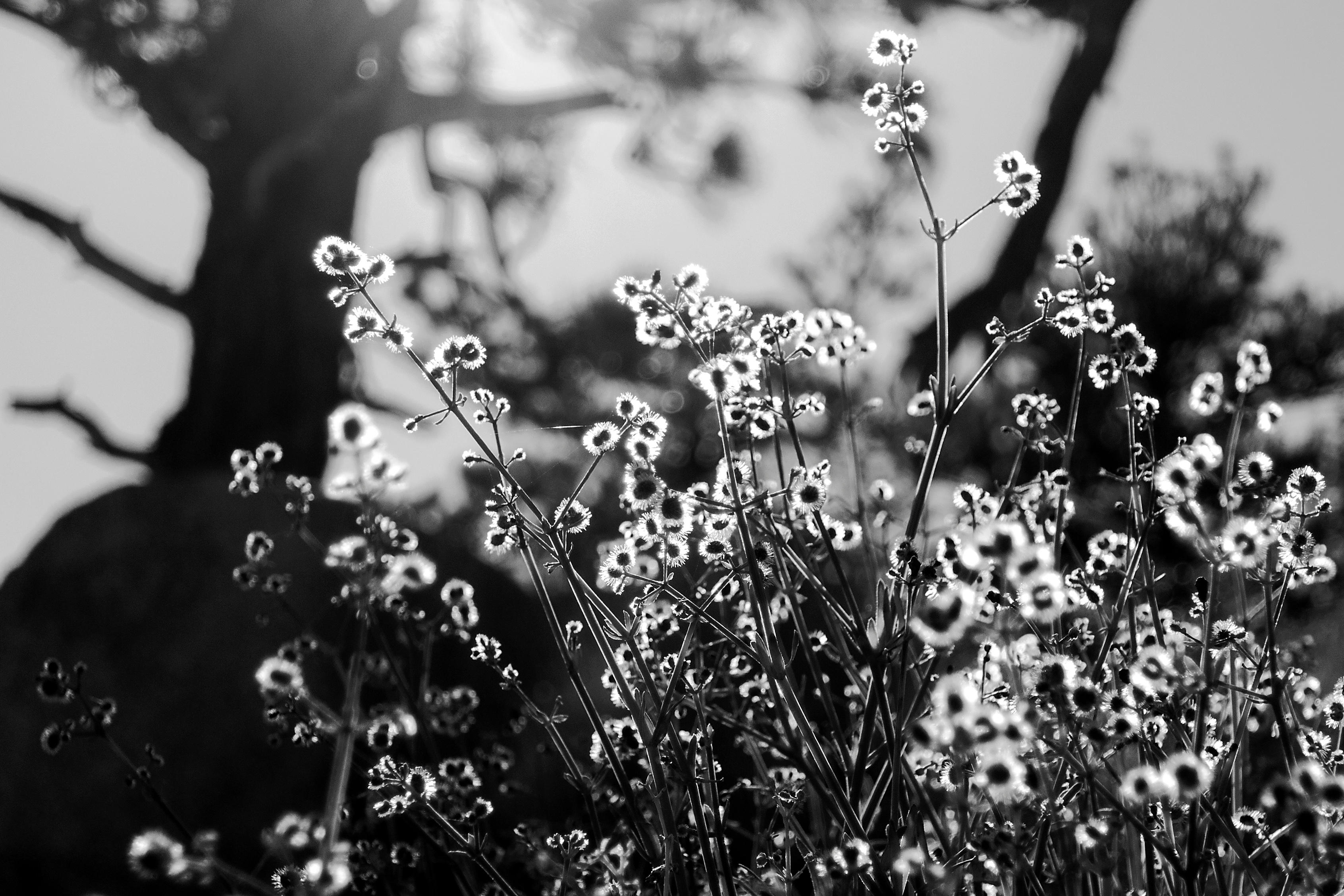
everyday is the right day
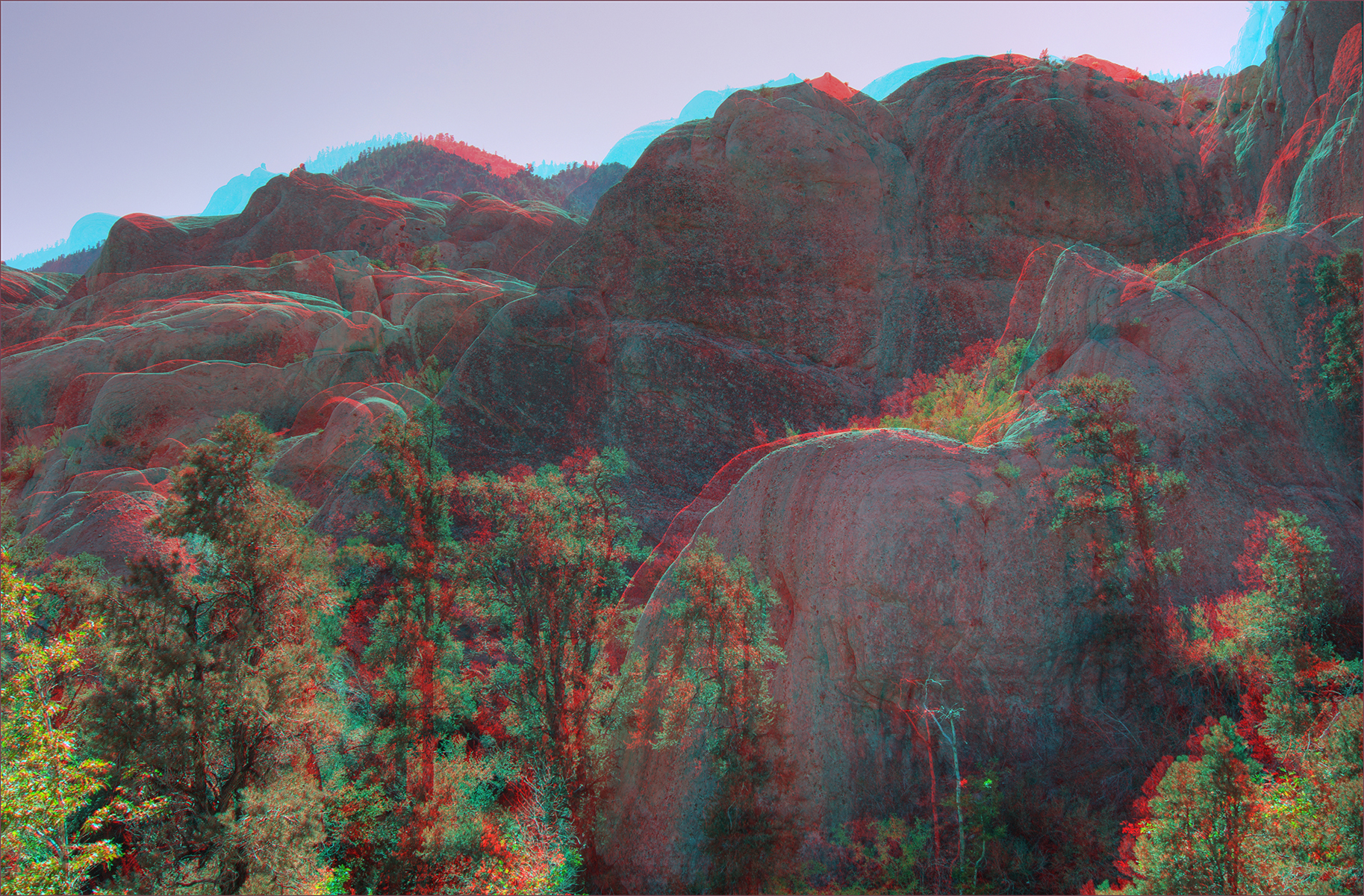
Devil's PunchBowl-3 hyper hdr 3d
Sunset Haze on Williamson
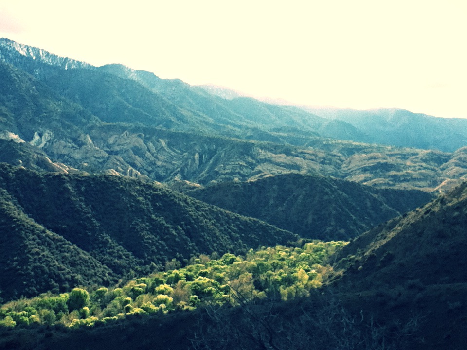
Punchbowl Canyon
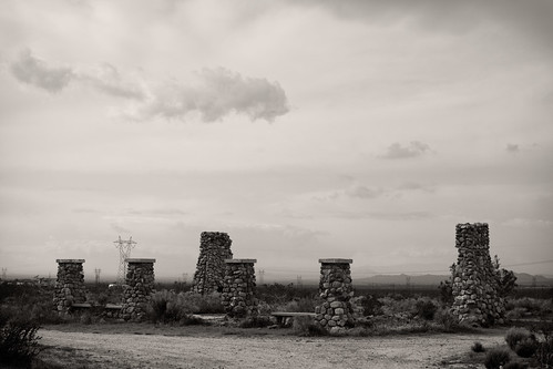
Llano del Rio
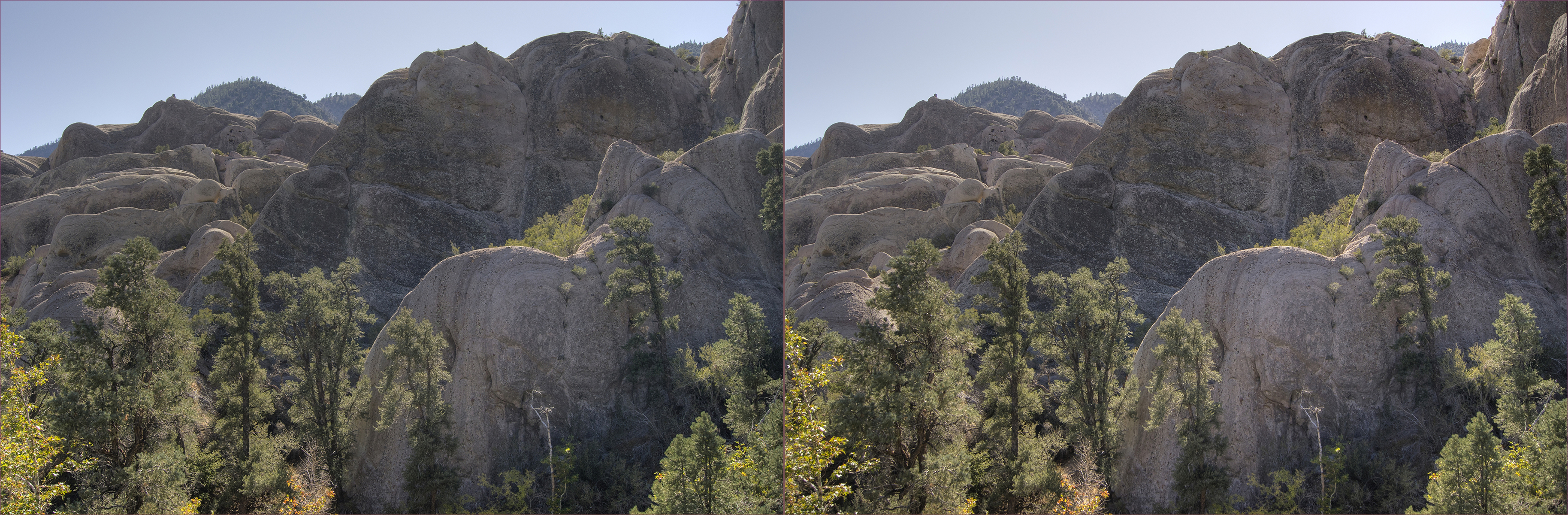
Devil's PunchBowl-3 hyper hdr cross view 3d
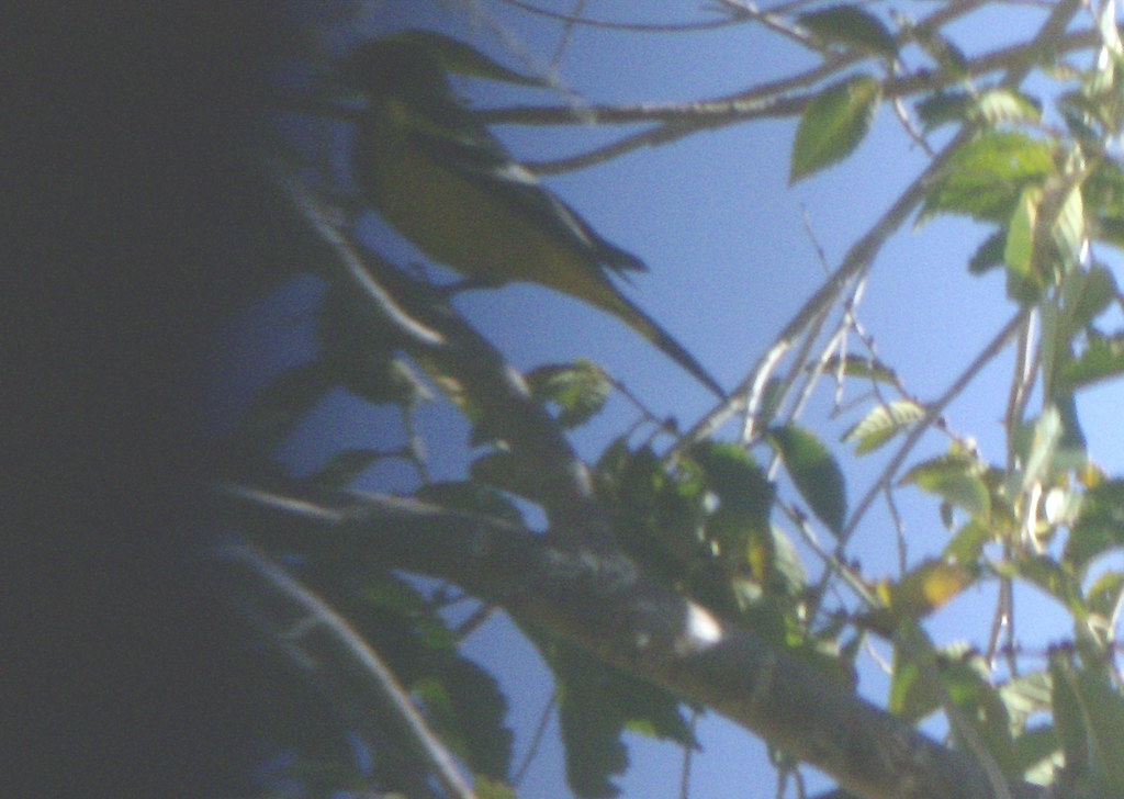
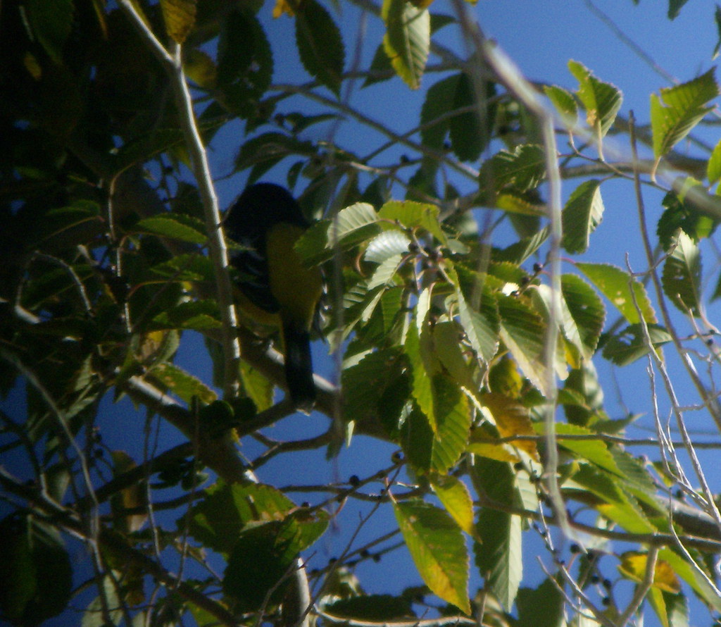
Scott's Oriole
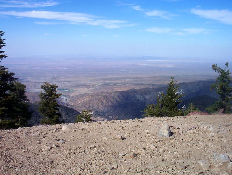
The High Desert from the summit of Mt. Williamson in the Angeles National Forest
Backside of Scott's Oriole
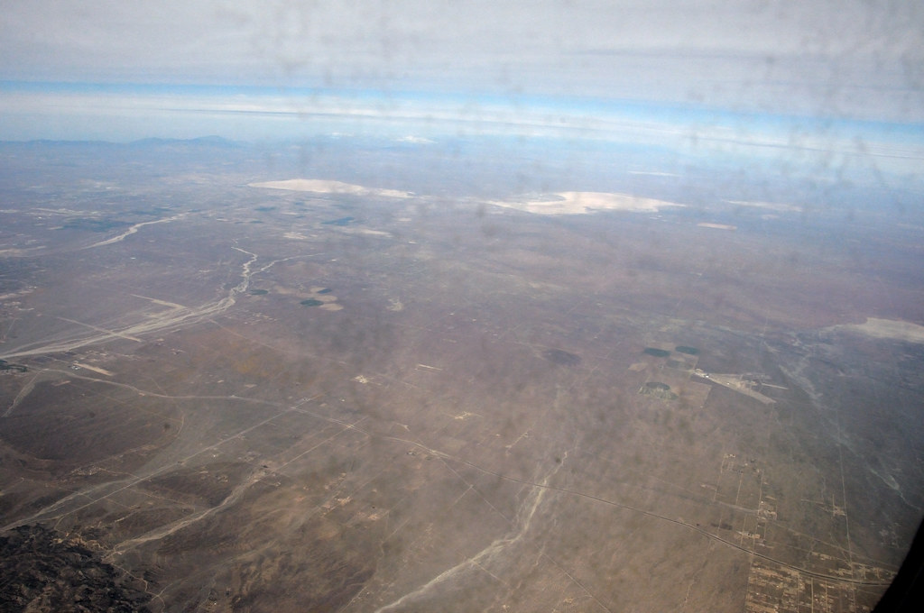
Aerial view from plane
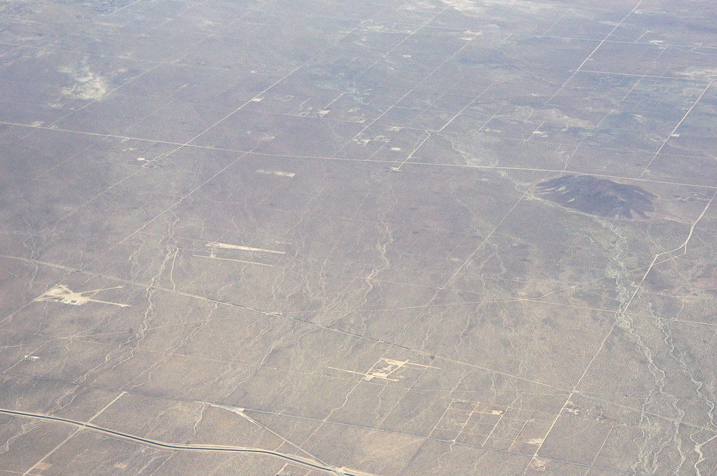
Aerial view from plane
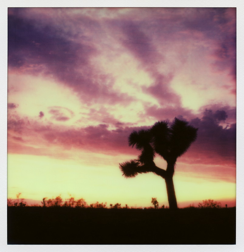
Pearblossom Highway Sunset

Less Traveled
Looking over my shoulder
20150131-DSC_0516.jpg
20110403-1206-42-002-7D-mkm

Valyermo Dawn
Punch It!

Devil's Punchbowl Park
More rocks.

Devil's Punch Bowl
20110403-1206-22-001-7D-mkm

DSC_9257.jpg

DSC_9324-Edit.jpg
Devil's Chair, Devil's Punchbowl County Park
Devil's Punch Bowl
Devil's Punch Bowl
Topographic Map of Pearblossom, CA, USA
Find elevation by address:

Places in Pearblossom, CA, USA:
E Ave W 6, Pearblossom, CA, USA
Big Rock Creek Rd, Pearblossom, CA, USA
Jackson Lake
Mount Lewis
Devils Punchbowl
Angeles Crest Highway
Places near Pearblossom, CA, USA:
E Ave W 6, Pearblossom, CA, USA
13261 Fort Tejon Rd
96th Street East
10245 E Ave T
31001 N Valyermo Rd
Boca Raton Avenue
Littlerock High School
Littlerock
37741 95th St E
E Ave X, Llano, CA, USA
Llano
90th St E, Littlerock, CA, USA
Little Rock Reservoir
5858 Mt Emma Rd
36011 Cheseboro Rd
Lake Los Angeles
37812 Boxthorn St
50th St E, Palmdale, CA, USA
Palmdale, CA, USA
4342 Palmdale Hills Dr
Recent Searches:
- Elevation of Pykes Down, Ivybridge PL21 0BY, UK
- Elevation of Jalan Senandin, Lutong, Miri, Sarawak, Malaysia
- Elevation of Bilohirs'k
- Elevation of 30 Oak Lawn Dr, Barkhamsted, CT, USA
- Elevation of Luther Road, Luther Rd, Auburn, CA, USA
- Elevation of Unnamed Road, Respublika Severnaya Osetiya — Alaniya, Russia
- Elevation of Verkhny Fiagdon, North Ossetia–Alania Republic, Russia
- Elevation of F. Viola Hiway, San Rafael, Bulacan, Philippines
- Elevation of Herbage Dr, Gulfport, MS, USA
- Elevation of Lilac Cir, Haldimand, ON N3W 2G9, Canada