Elevation of Peacock Hill Rd SE, Olalla, WA, USA
Location: United States > Washington > Kitsap County > Olalla >
Longitude: -122.59089
Latitude: 47.408504
Elevation: 117m / 384feet
Barometric Pressure: 100KPa
Elevation Map:
Satellite Map:
Related Photos:

Kayak Reflections

Rain Drops
Reflected Light

Shrunken View Point

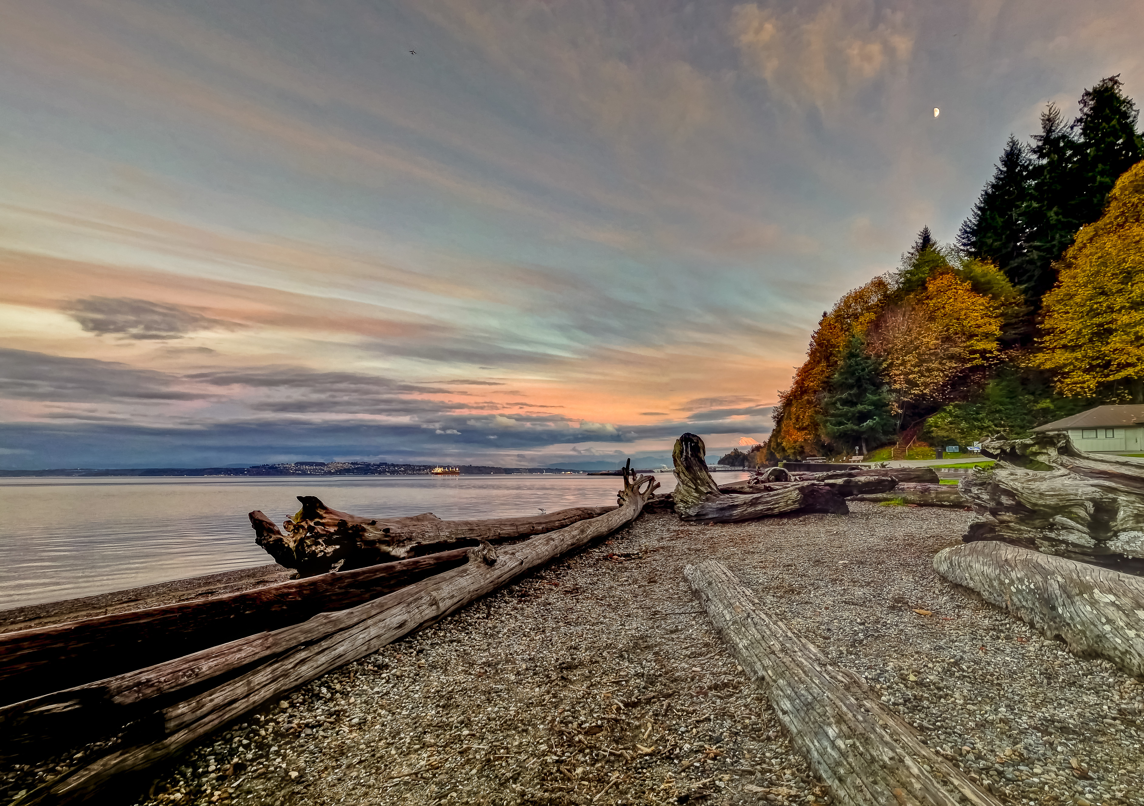
Easter Morning Sunrise on the Puget Sound, 2014

Olalla Bay in the Morning

Darling of the dahlia

Olympic View (p)

160403 SEA-YVR-02.jpg

No Picnic Today

Same View Different Treatment (198/365)

A side view

Where Have All The Famliies Gone? (Tonemapped)

out for a paddle

Point Defiance View

iPhone Sunset

Driftwood (244/365)
Our Bit Of Beach (127/365)

Quoth and a Mountain (181/365)

A Seat and a View (362/365)
At Dusk

Wetland Woods

Back Deck

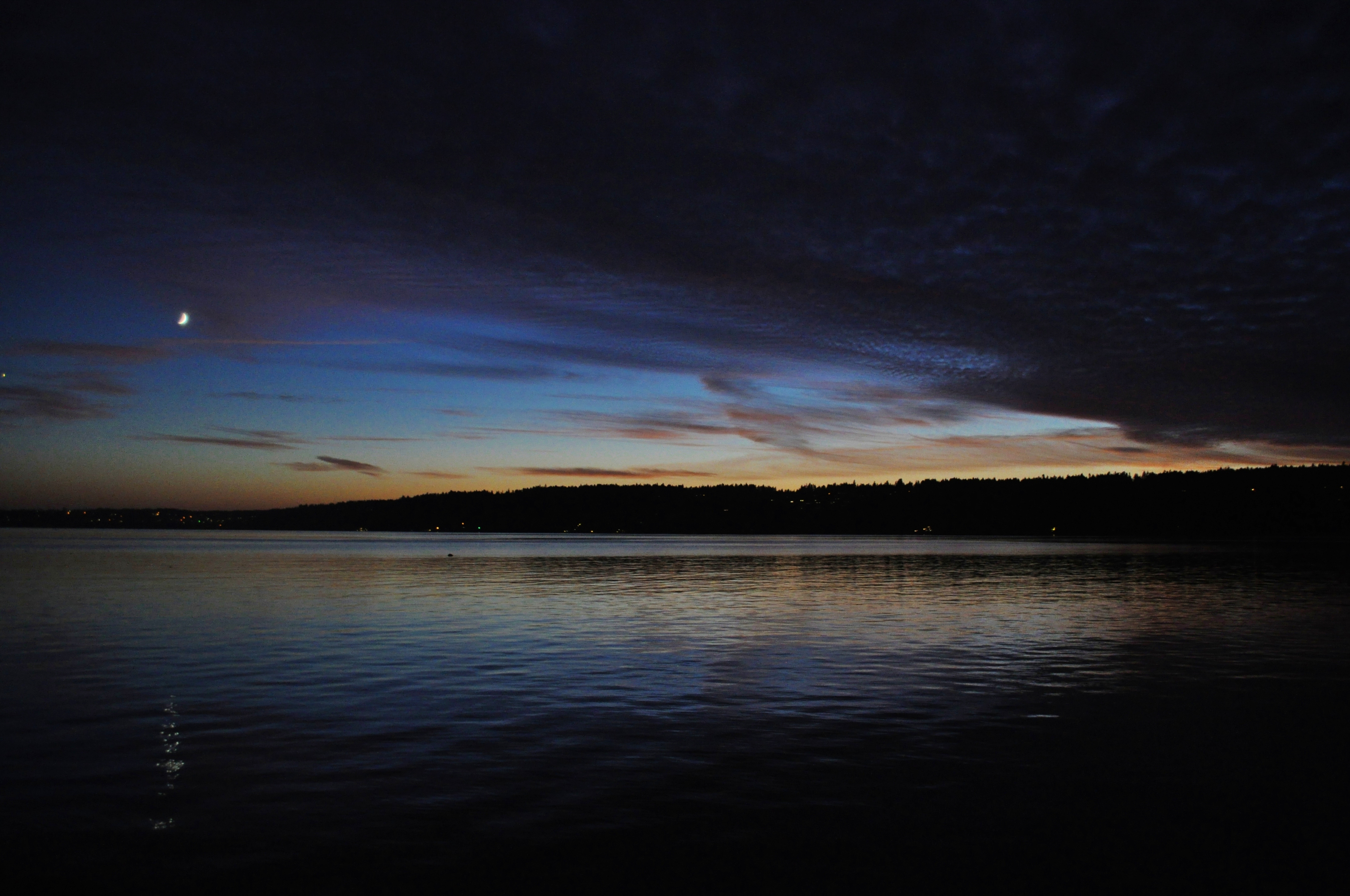
Puget Sound Sunrise

Another Sound Sunset (350/365)

Port Orchard Marina

Dash Point Beach

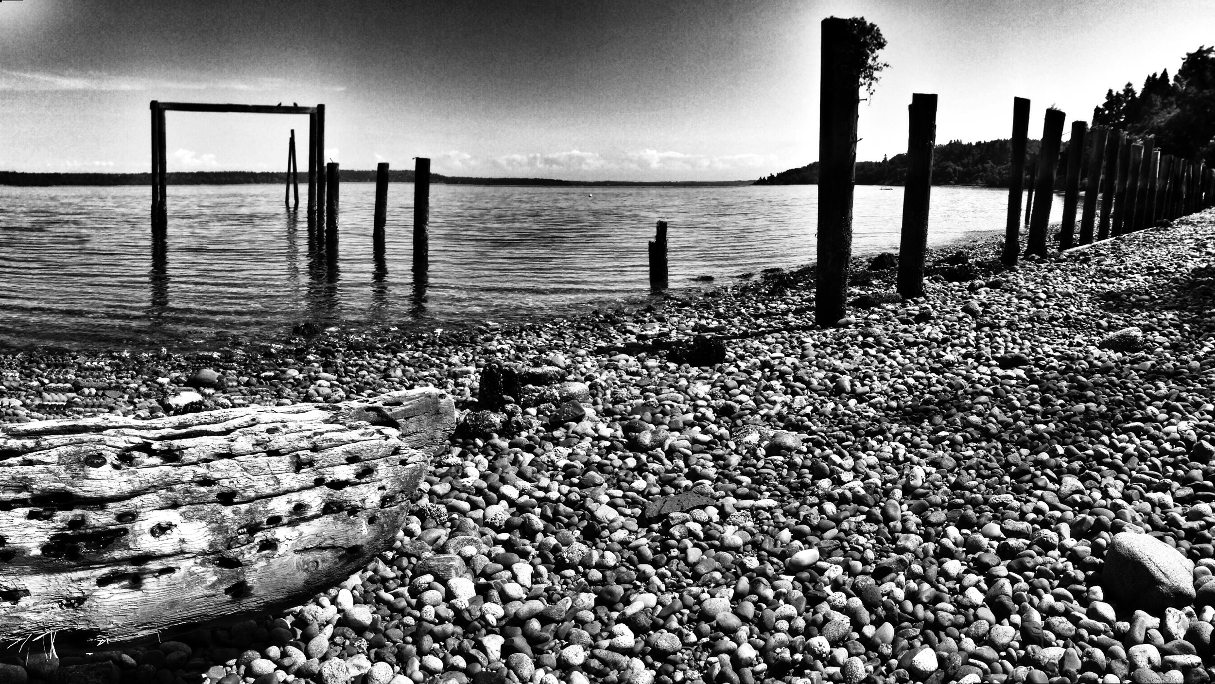
Lost Boat? (p)

Out on Dolphin Point (90/366)

Mt. Rainier and Tacoma, WA

Underbrush Cover (p)

Grains Of The Globe

Back on the Beach (235/365)

Tree Tops (p)

P20170202079-1-1_cavedwelleriv-1

After Party Pano (93/366)

step right through

#clouds #trees

Sunrise Over Mt Rainer (3/365)

Untitled photo [E99918B9-AC14-4592-A741-2A9D809FD961]

Sunrise Beach & Mount Rainier

#refections #philpottcarl
Topographic Map of Peacock Hill Rd SE, Olalla, WA, USA
Find elevation by address:

Places near Peacock Hill Rd SE, Olalla, WA, USA:
3808 157th St Nw
4446 Se Nelson Rd
15232 Rosemary Loop Rd Se
15236 Rosemary Loop Se
5383 Se Alpine Rd
144th Street Northwest
13812 32nd Ave Nw
3611 135th St Ct Nw
2901 Se Shapley Hill Way
13413 36th Ave Ct Nw
14157 Olympic Dr Se
4661 Se Stonehill Ln
13422 Crescent Valley Dr Nw
7358 Se Nelson Rd
12920 Peacock Hill Ave Nw
12920 Peacock Hill Ave Nw
12003 Olalla Valley Rd Se
12706 Tanager Dr Nw
12003 Olalla Valley Rd Se
11953 Olalla Valley Rd Se
Recent Searches:
- Elevation of Zu den Ihlowbergen, Althüttendorf, Germany
- Elevation of Badaber, Peshawar, Khyber Pakhtunkhwa, Pakistan
- Elevation of SE Heron Loop, Lincoln City, OR, USA
- Elevation of Slanický ostrov, 01 Námestovo, Slovakia
- Elevation of Spaceport America, Co Rd A, Truth or Consequences, NM, USA
- Elevation of Warwick, RI, USA
- Elevation of Fern Rd, Whitmore, CA, USA
- Elevation of 62 Abbey St, Marshfield, MA, USA
- Elevation of Fernwood, Bradenton, FL, USA
- Elevation of Felindre, Swansea SA5 7LU, UK