Elevation of Peach Bloom Hwy, Church Point, LA, USA
Location: United States > Louisiana > Acadia Parish > >
Longitude: -92.199887
Latitude: 30.3789717
Elevation: 13m / 43feet
Barometric Pressure: 101KPa
Elevation Map:
Satellite Map:
Related Photos:
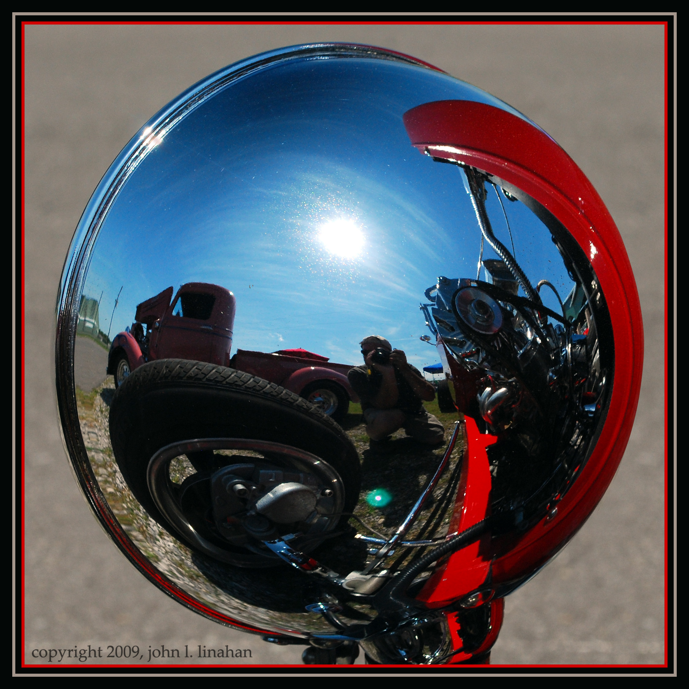
Convex View

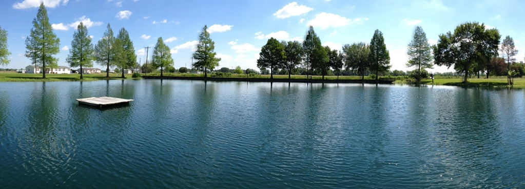
Grand Coteau 5069-2495
Camera Roll-21

Louisiana Winter 3

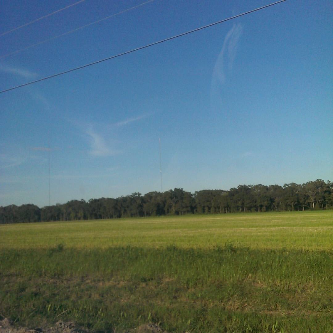
Louisiana Winter 6
@katctv3 and @klfy off in the distance.

Black & White Trees HDR
Fence II

Louisiana Sunset

Yellow Barn

Fence I

Winter Grass

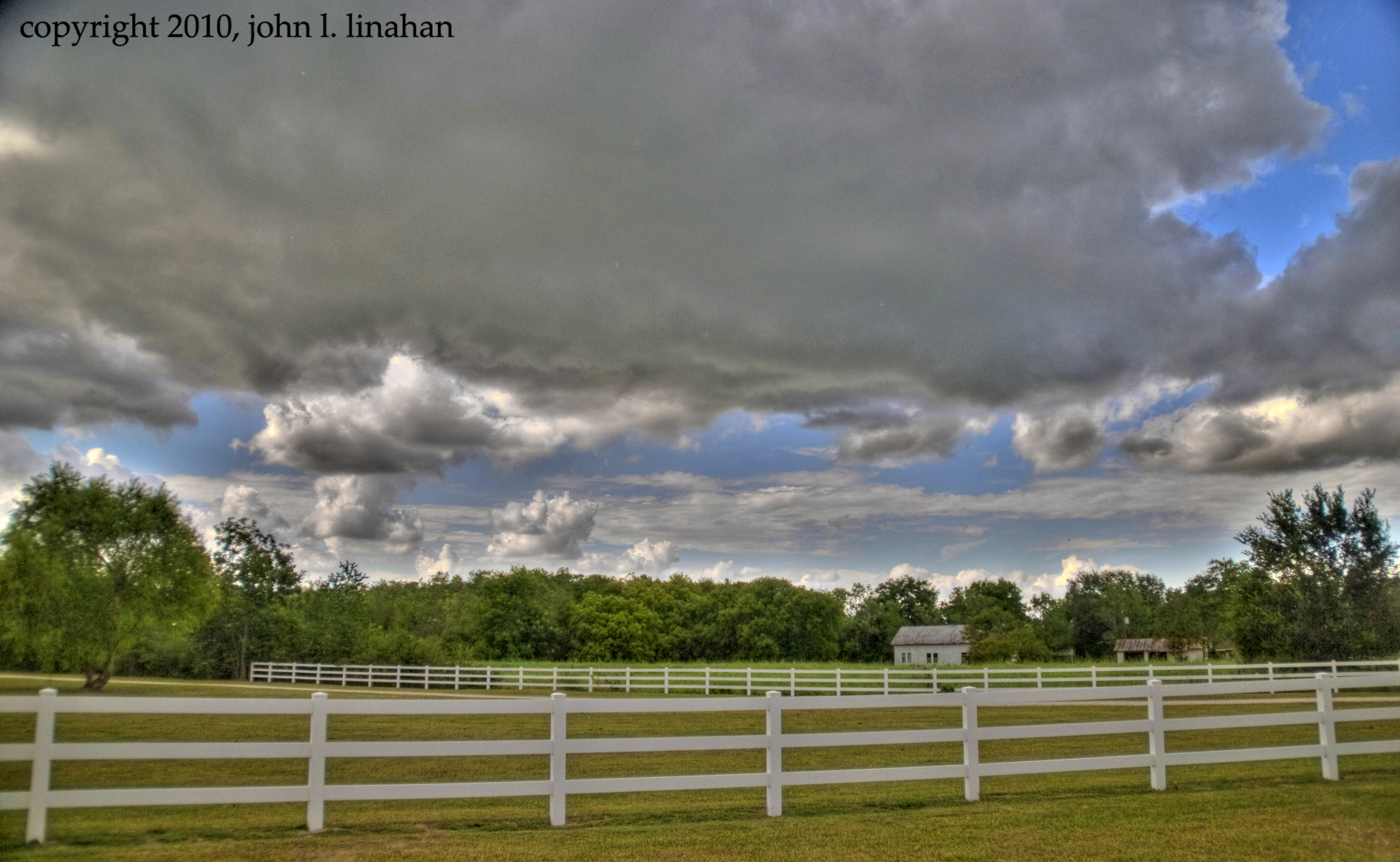
Landscape for 888

Best OEB of the day

Grand Coteau, Louisiana
Topographic Map of Peach Bloom Hwy, Church Point, LA, USA
Find elevation by address:

Places near Peach Bloom Hwy, Church Point, LA, USA:
625 S David St
Church Point
6, LA, USA
Higginbotham Hwy, Church Point, LA, USA
Higginbotham Hwy, Church Point, LA, USA
375 Austin Dr
1170 Castille Hwy
1152 Castille Hwy
8, LA, USA
1511 Pointe Noir Rd
118 Hoosier Ln
364 Dallas Dr
105 Pic Dr
Michael Drive
718 Whitmore Rd
715 Whitmore Rd
250 Racetrack Ln
5, LA, USA
LA-93, Scott, LA, USA
139 Gazette Rd
Recent Searches:
- Elevation of Great Brook Sports, Gold Star Hwy, Groton, CT, USA
- Elevation of 10 Mountain Laurels Dr, Nashua, NH, USA
- Elevation of 16 Gilboa Ln, Nashua, NH, USA
- Elevation of Laurel Rd, Townsend, TN, USA
- Elevation of 3 Nestling Wood Dr, Long Valley, NJ, USA
- Elevation of Ilungu, Tanzania
- Elevation of Yellow Springs Road, Yellow Springs Rd, Chester Springs, PA, USA
- Elevation of Rēzekne Municipality, Latvia
- Elevation of Plikpūrmaļi, Vērēmi Parish, Rēzekne Municipality, LV-, Latvia
- Elevation of 2 Henschke Ct, Caboolture QLD, Australia