Elevation of Pavia Township, PA, USA
Location: United States > Pennsylvania > Bedford County >
Longitude: -78.600148
Latitude: 40.2835287
Elevation: 540m / 1772feet
Barometric Pressure: 95KPa
Elevation Map:
Satellite Map:
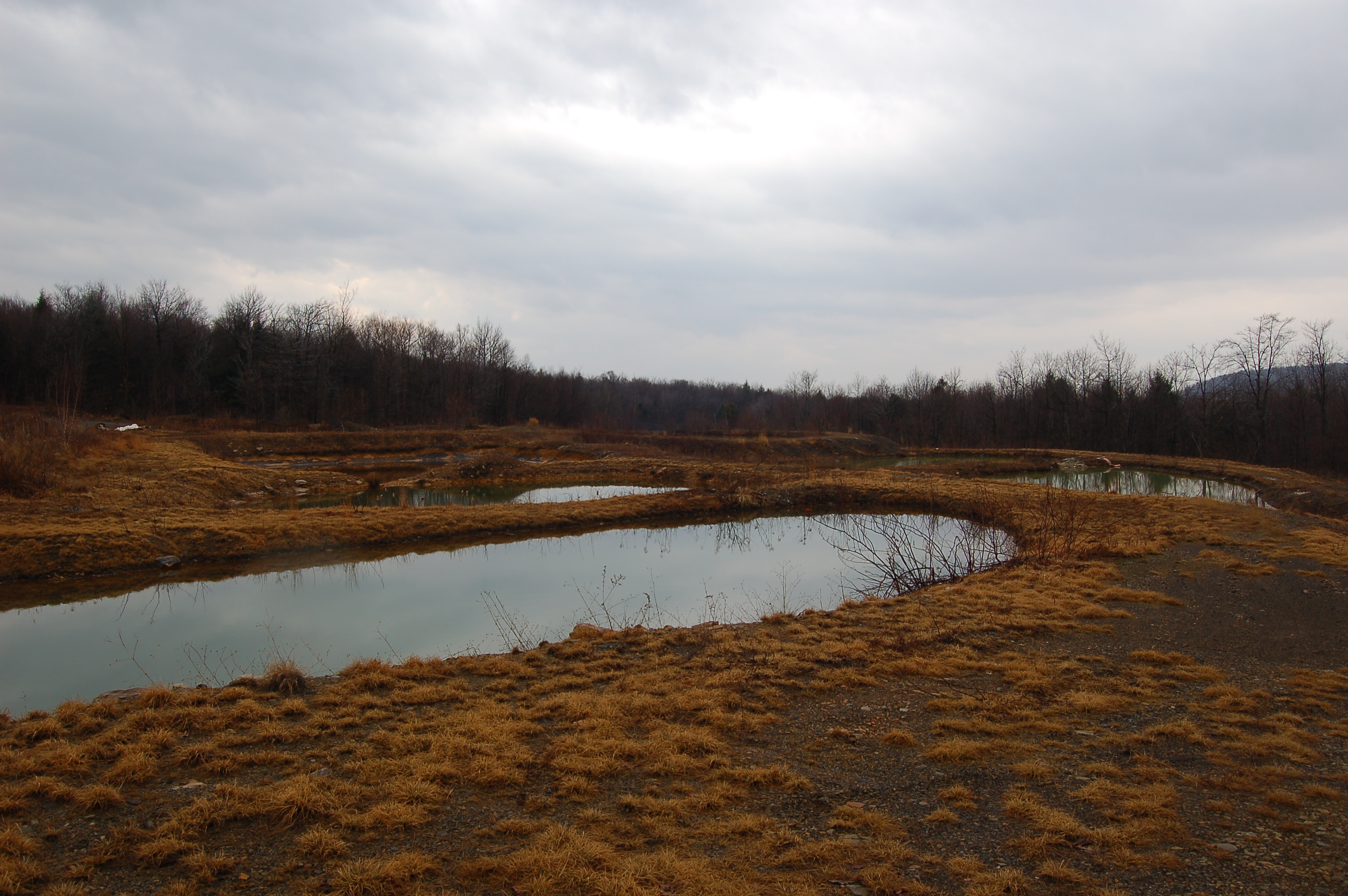
Related Photos:
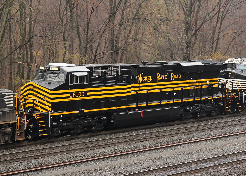
Roster Shot: NS [NKP] 8100
Feeling Much Better Now

Small waterfall, Beaverdam Creek

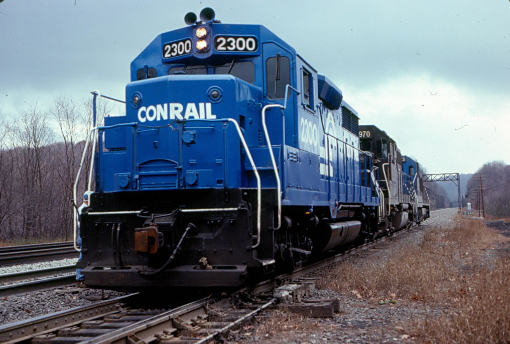
Big Blue

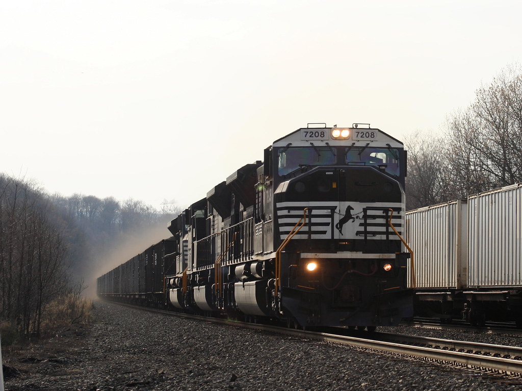
NS Eastbound @ Portage, PA

Boundary sign and trail blazing
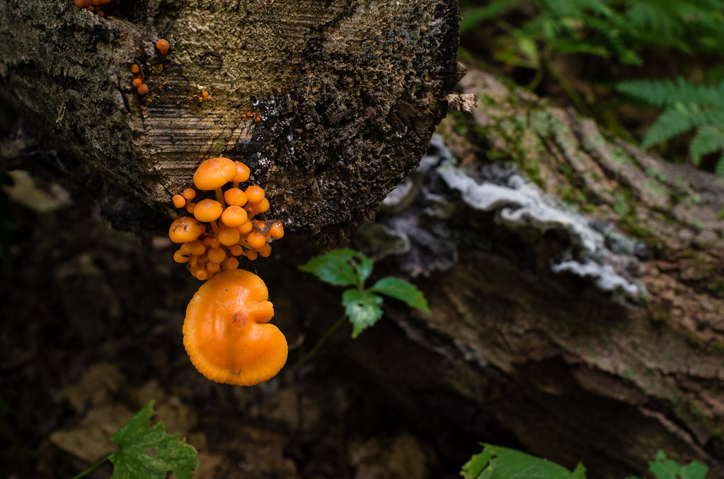
Orange fungus
Martinsburg, PA
Mountain View Trail
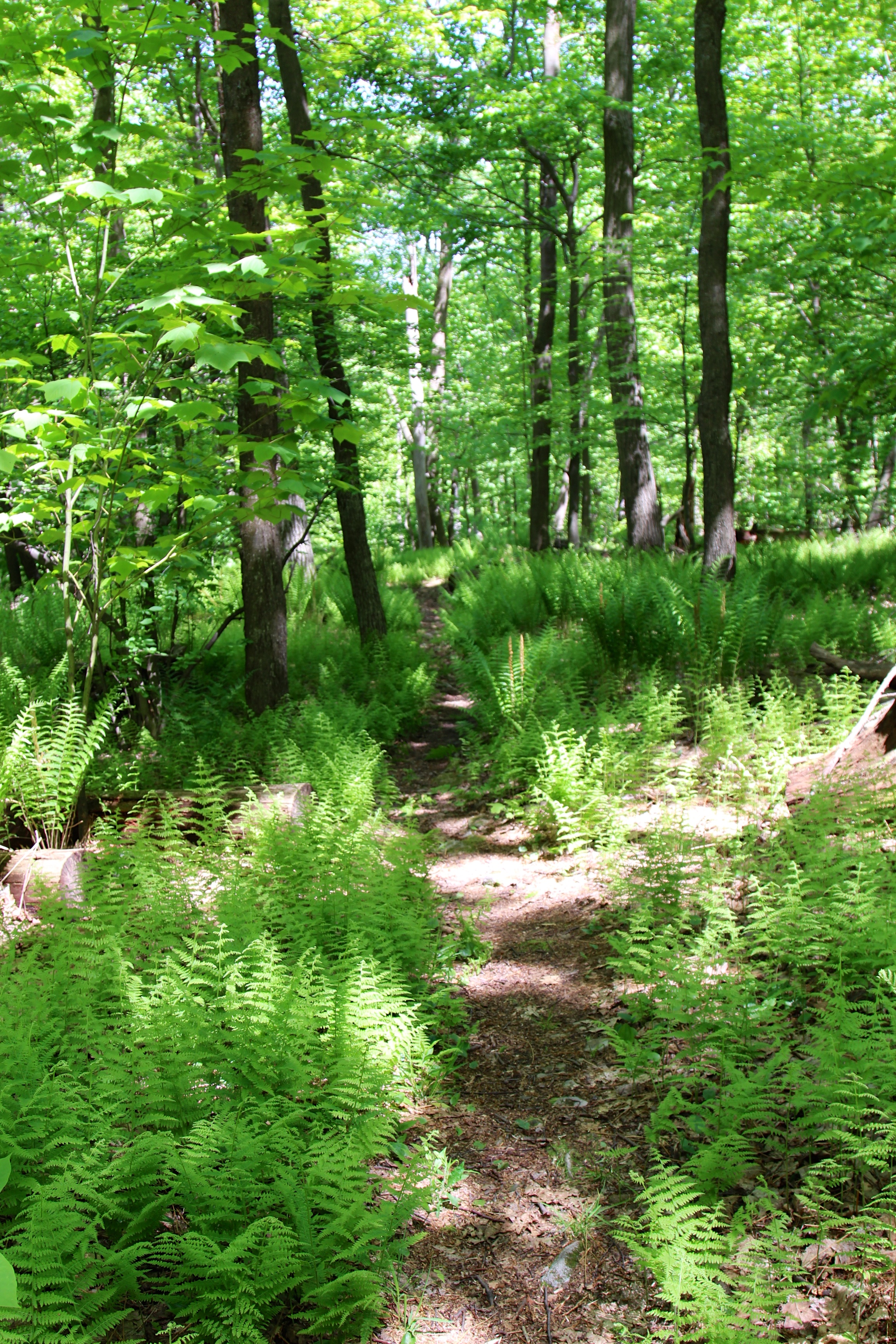
Through the fern country
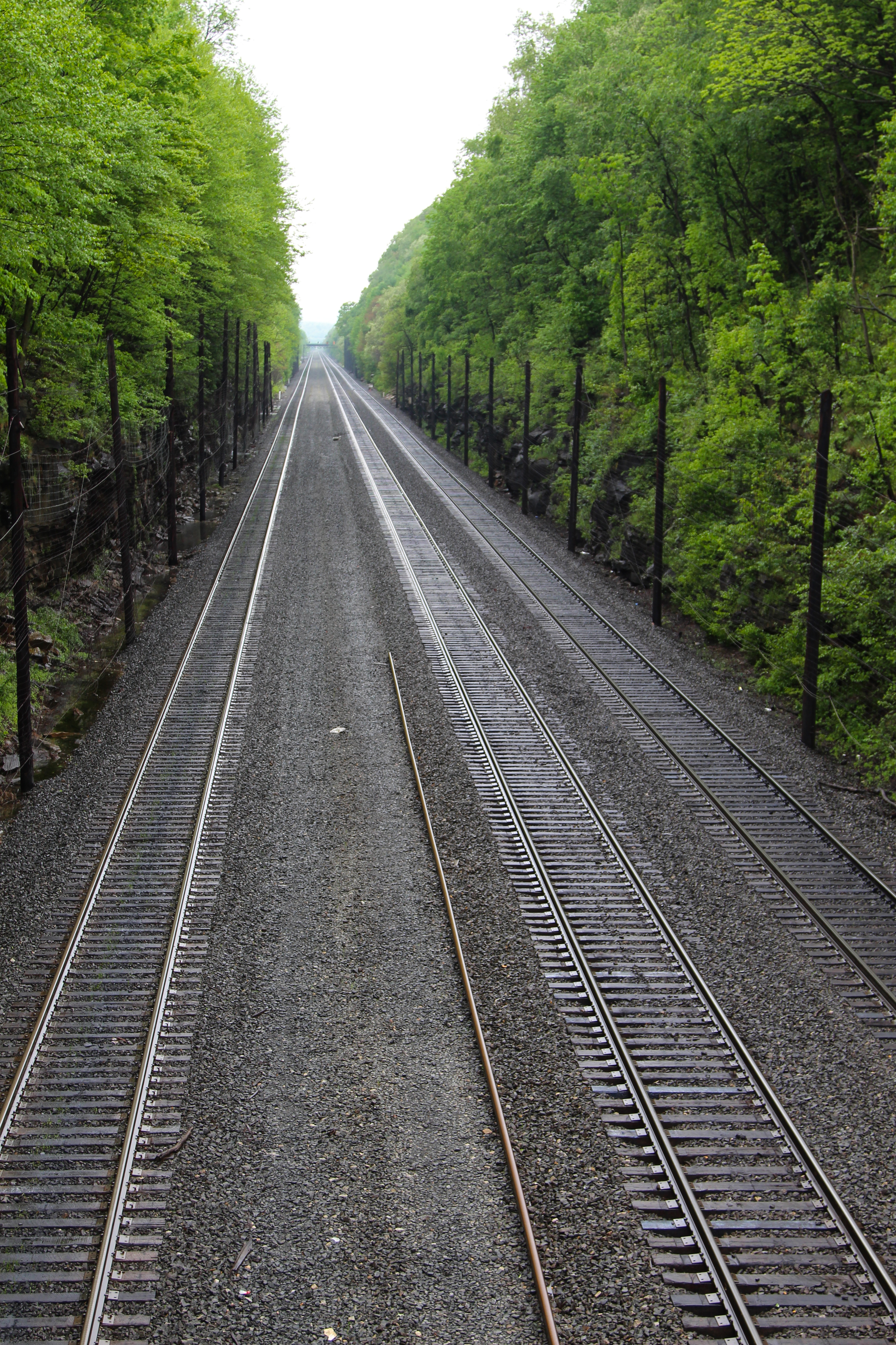
Railroad cut at Cassandra PA
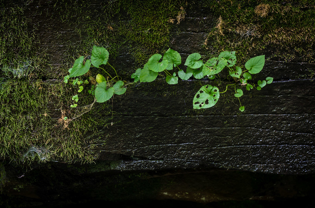
Plants growing on rock
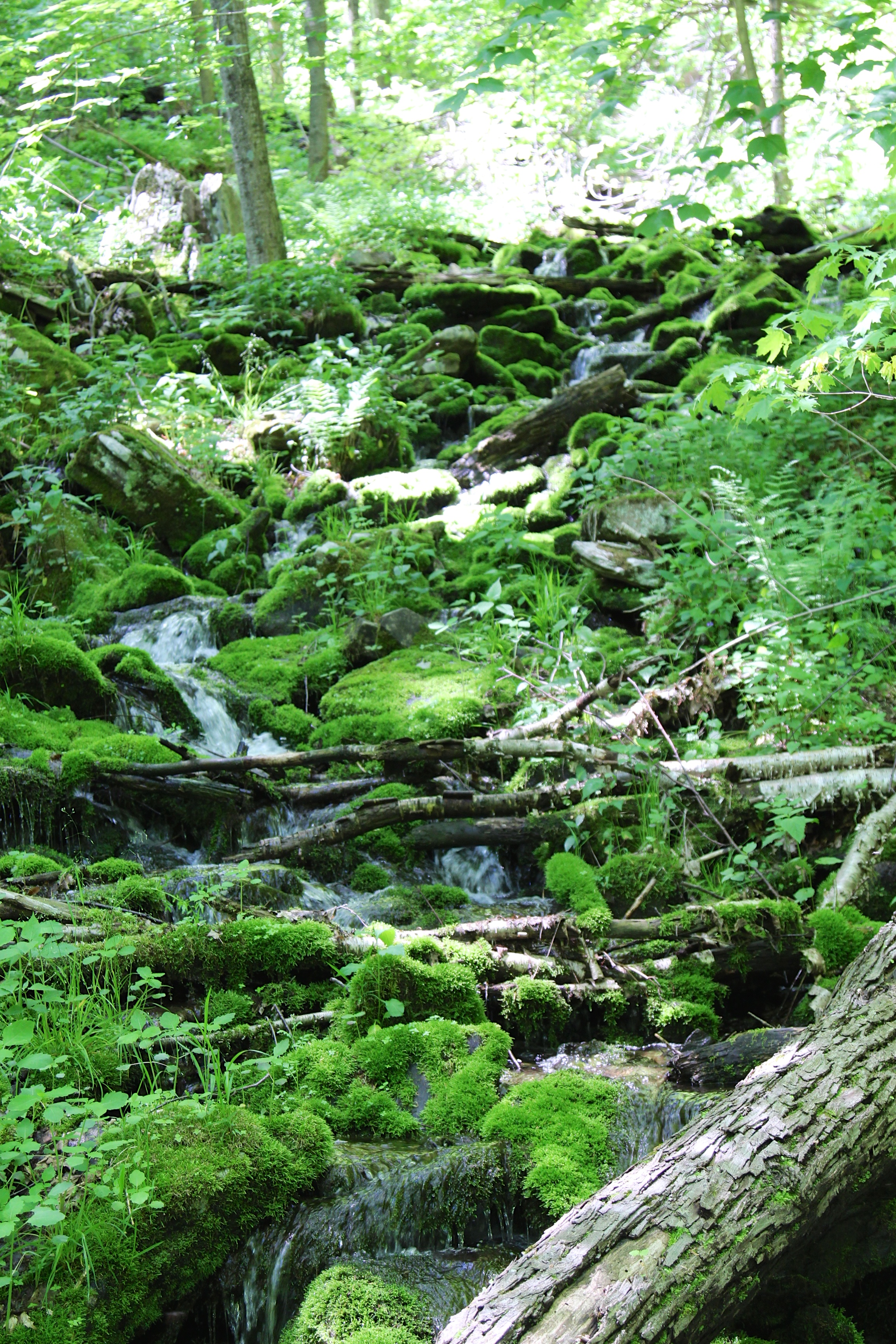
Beavedam Creek

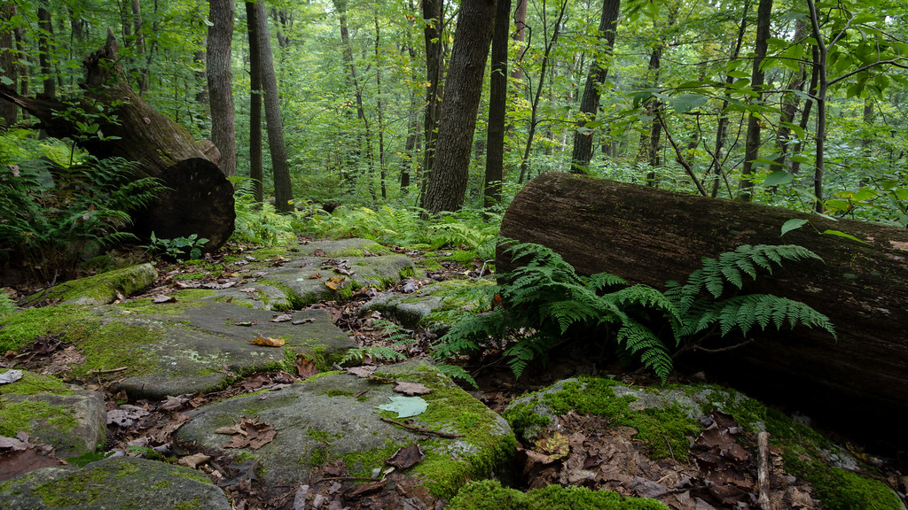
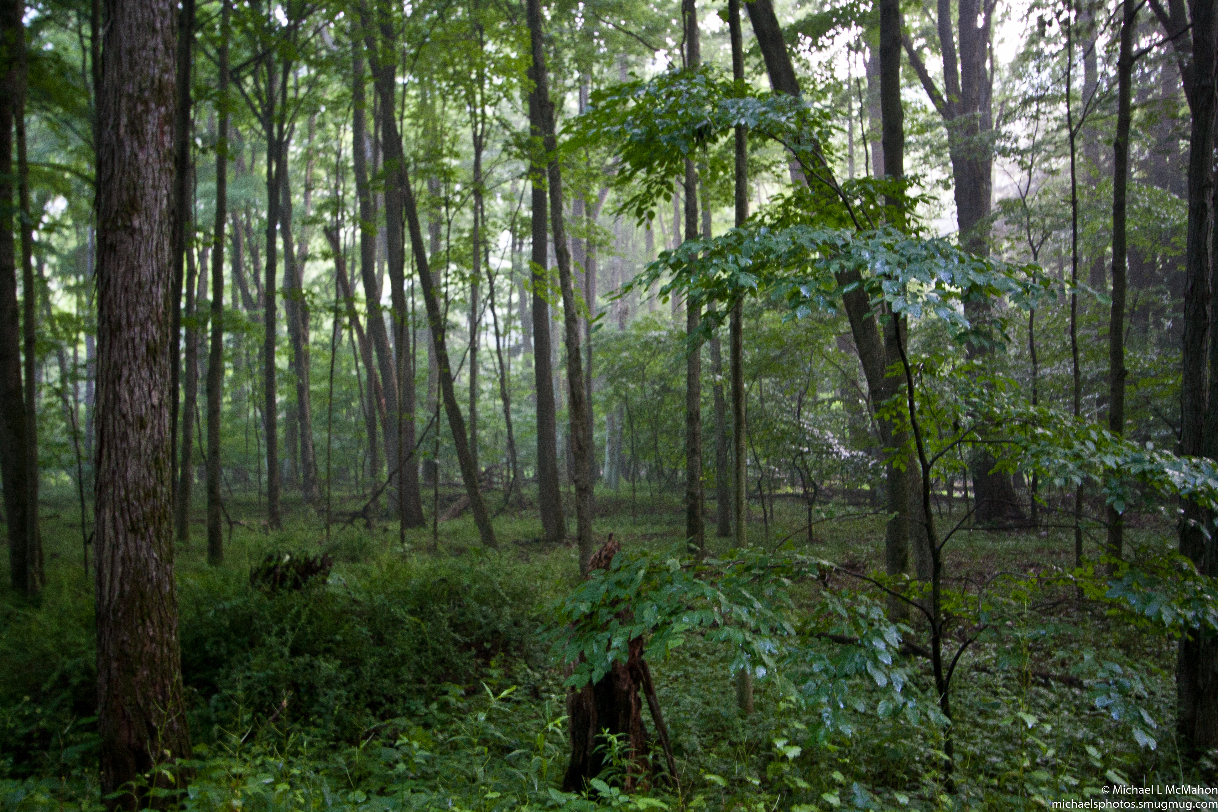
Fern country

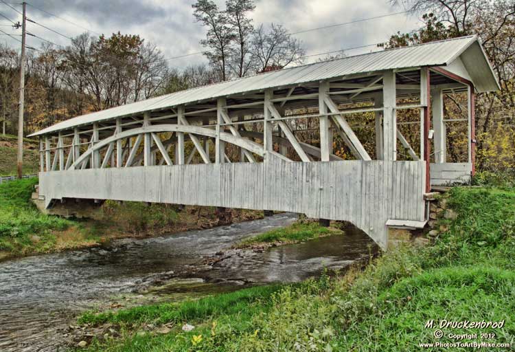
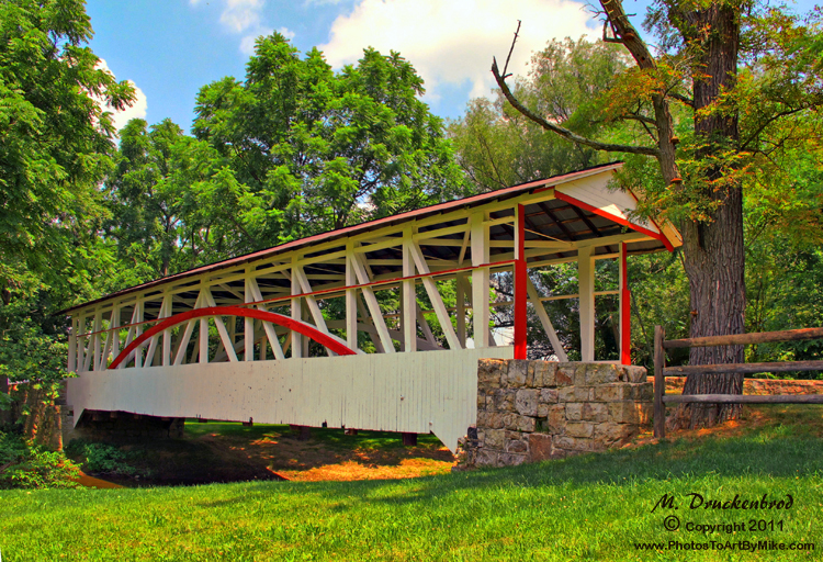
Snook's Bridge -- Bedford County, Pennsylvania
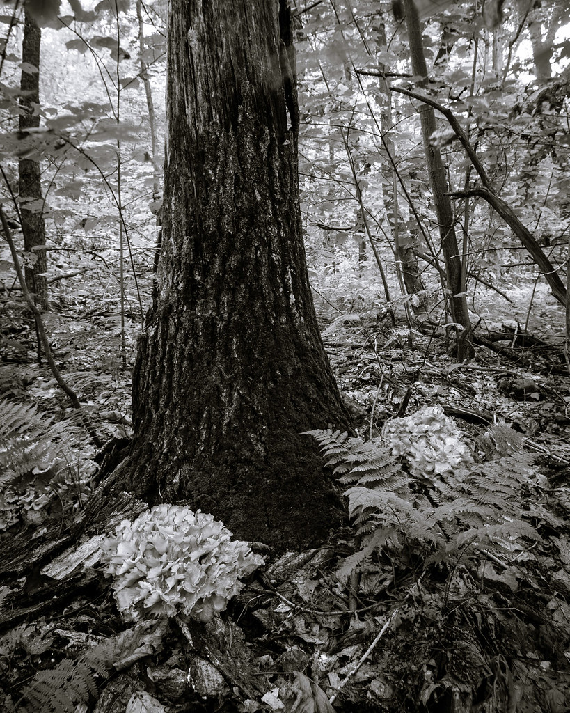
Hen-of-the-woods

Somewhere Over Pennsylvania
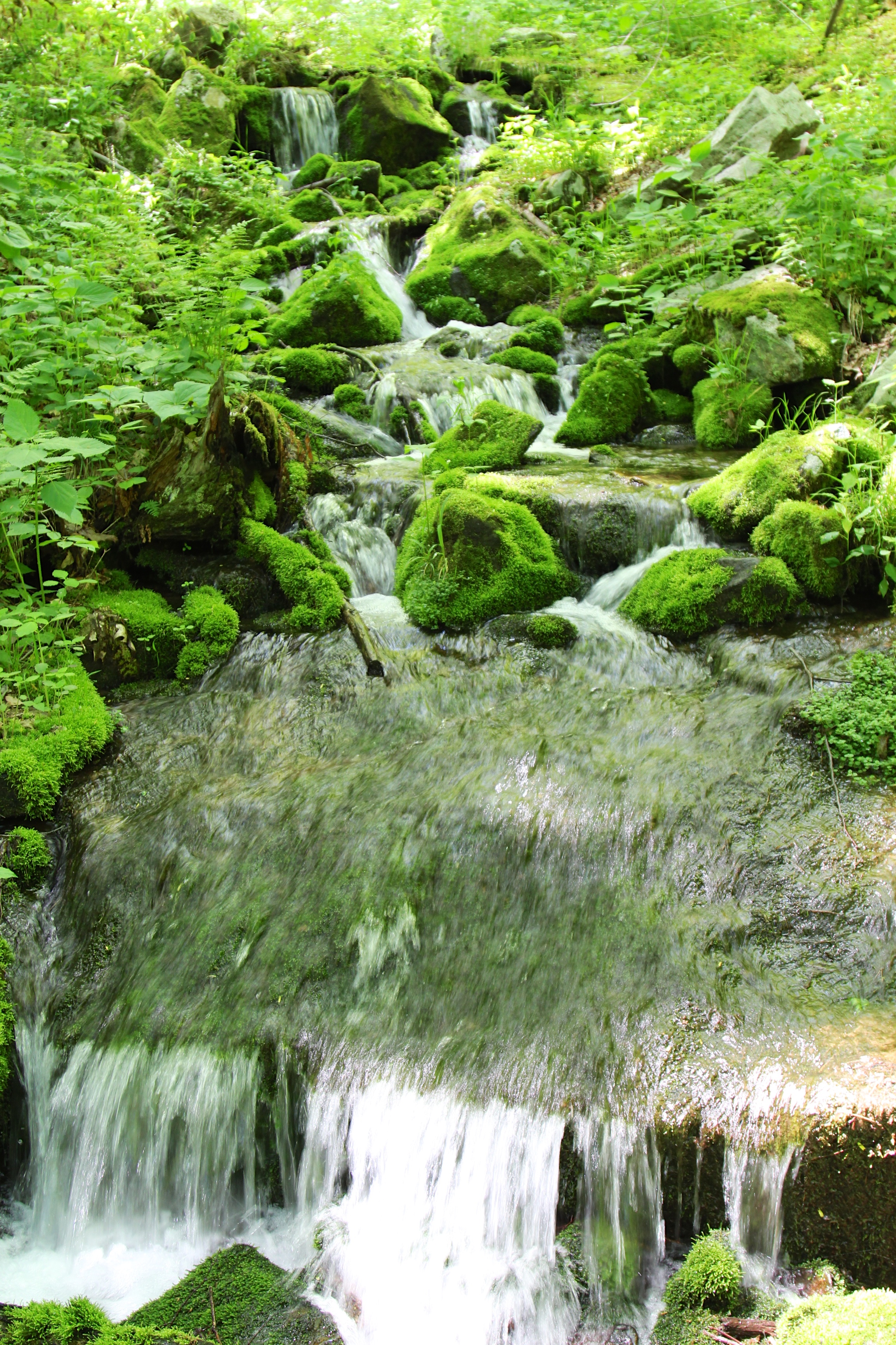
water rolling down on Beaverdam Creek
I think I can, I think I can...

Begin of Mountain View Trail
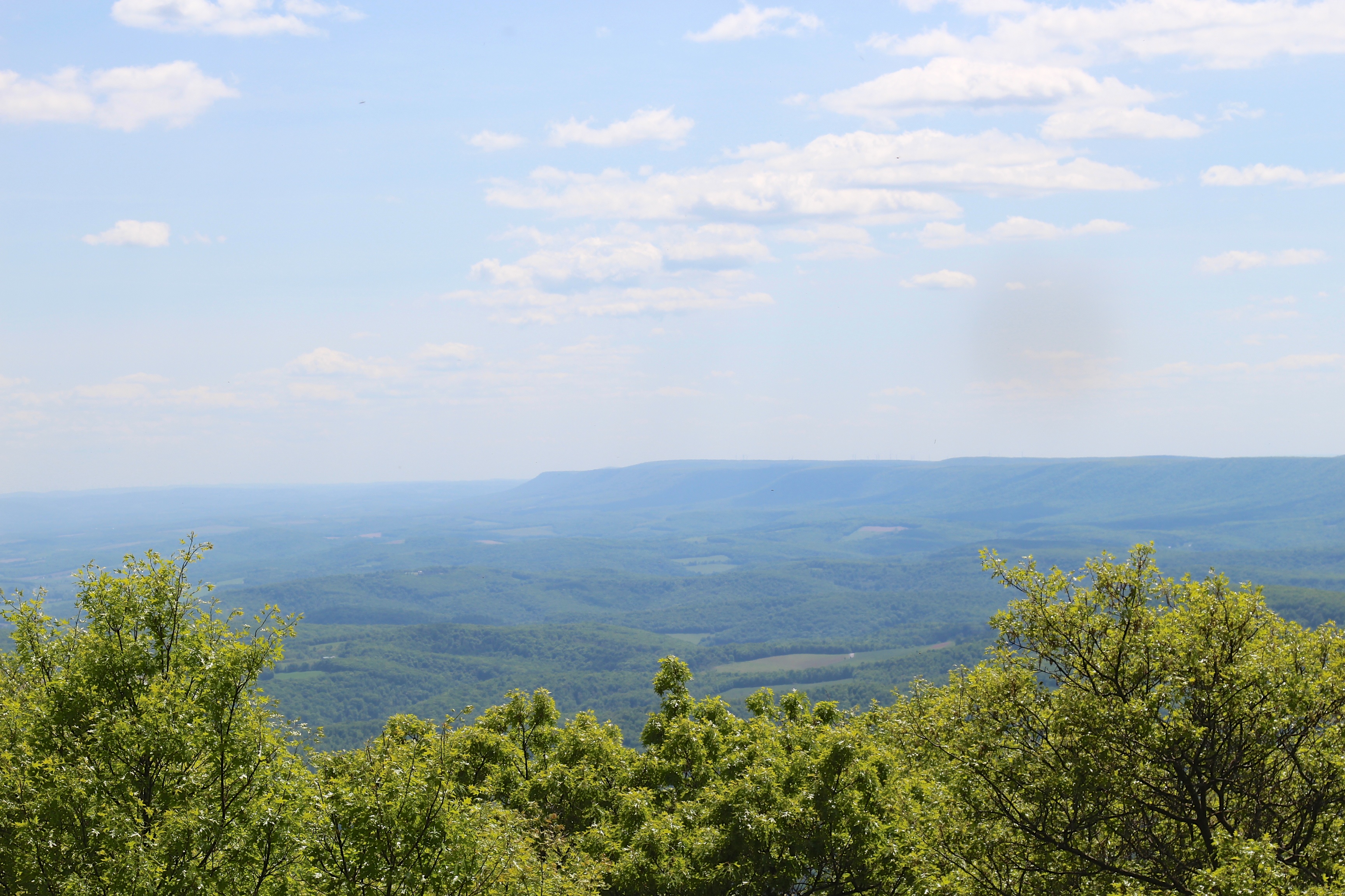
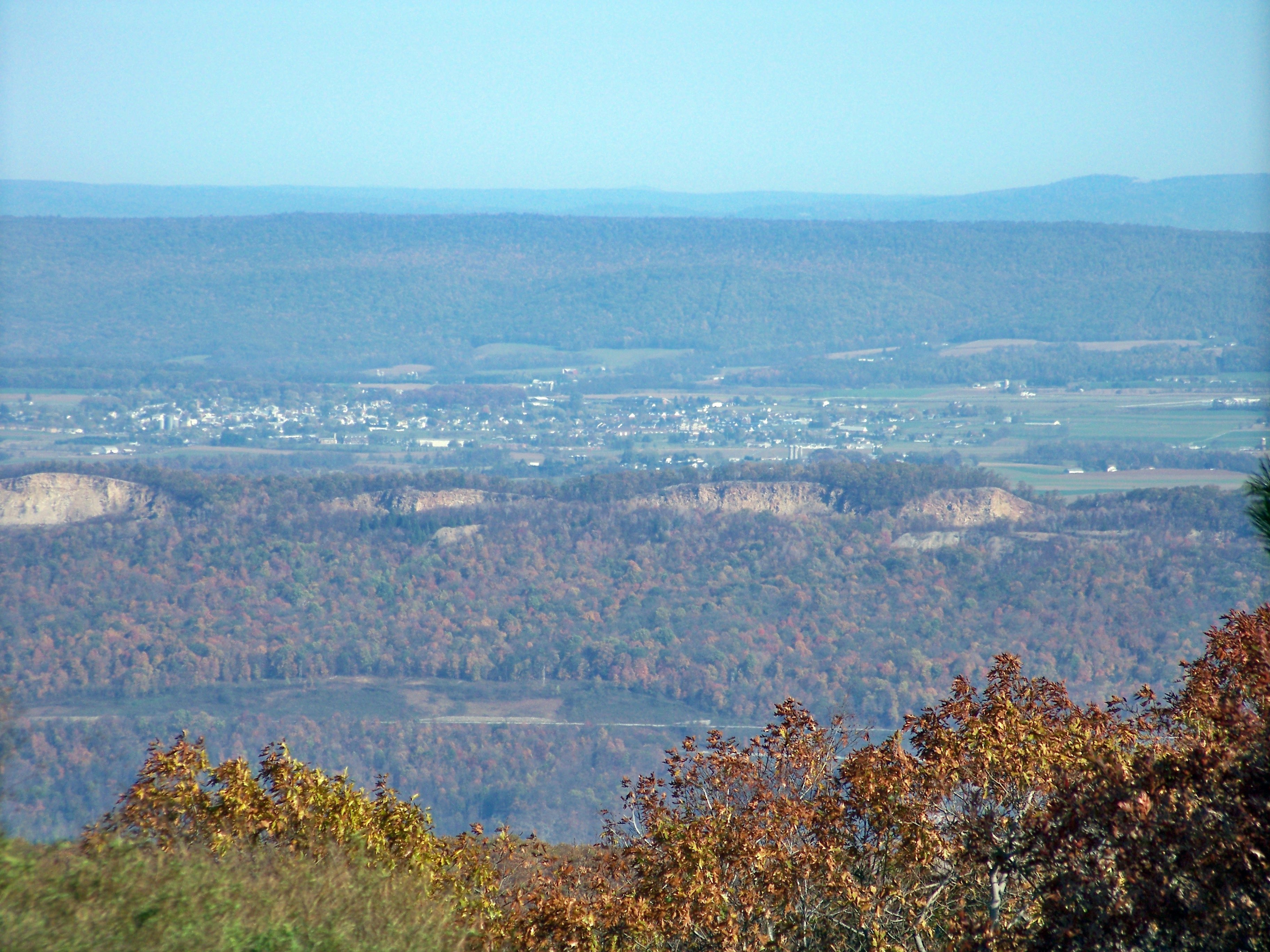
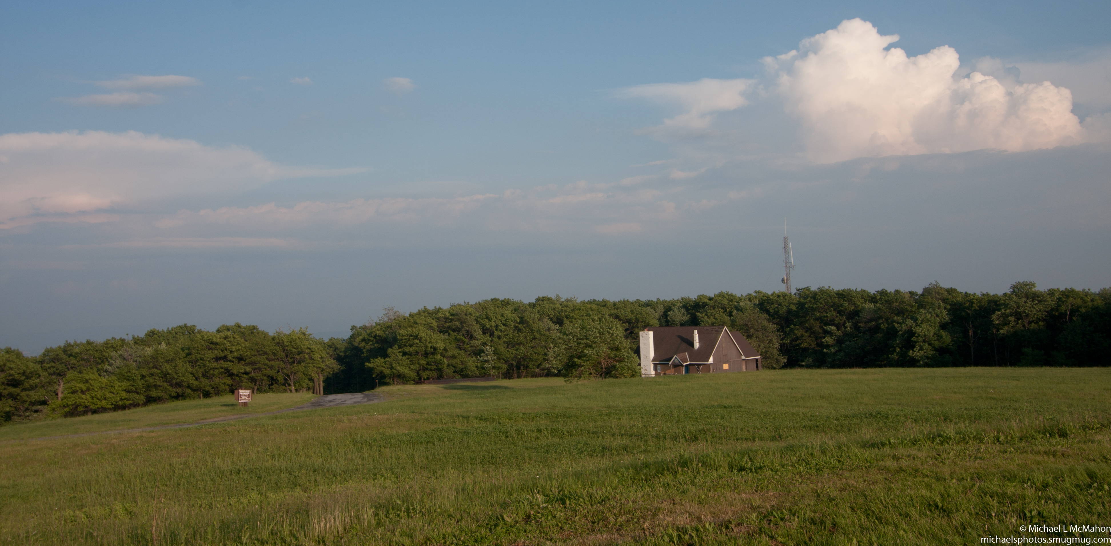
Pivia Lookout on southeast

Blue Knob State Park PA - 2015-01-28 (7)

NS 6321 Cassandra PA Railfan Overlook 10G Helpers 10/12/13
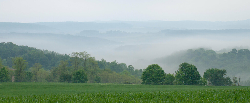
June fog

DSC_4066.JPG
Wind turbine
Bowser Covered Bridge spanning Bob's Creek, Osterburg Pennsylvania
Dr. Knisely Covered Bridge in Bedford Co. PA
Blue Knob State Park
Blue Knob State Park

DSC_4064.JPG

Fog Cleared on the Mountain Top...
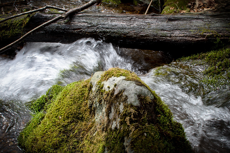
moss rock water

Blue knob
DSC_7775.JPG

Green Slopes
Topographic Map of Pavia Township, PA, USA
Find elevation by address:

Places in Pavia Township, PA, USA:
Places near Pavia Township, PA, USA:
Blue Knob State Park
Blue Knob
969 Diamond Ln
Greenfield Township
Portage Township
3083 Frankstown Rd
Springhill Rd, Portage, PA, USA
Summerhill Township
Beaverdale
119 Allen St
1214 Washington Ave
Spring Hill
Beaver Run Avenue
606 Sherman St
922 Gillespie Ave
Portage
270 Munster Rd
149 Mindish Rd
Polecat Hollow Road
Saint Marys Street
Recent Searches:
- Elevation of Pykes Down, Ivybridge PL21 0BY, UK
- Elevation of Jalan Senandin, Lutong, Miri, Sarawak, Malaysia
- Elevation of Bilohirs'k
- Elevation of 30 Oak Lawn Dr, Barkhamsted, CT, USA
- Elevation of Luther Road, Luther Rd, Auburn, CA, USA
- Elevation of Unnamed Road, Respublika Severnaya Osetiya — Alaniya, Russia
- Elevation of Verkhny Fiagdon, North Ossetia–Alania Republic, Russia
- Elevation of F. Viola Hiway, San Rafael, Bulacan, Philippines
- Elevation of Herbage Dr, Gulfport, MS, USA
- Elevation of Lilac Cir, Haldimand, ON N3W 2G9, Canada