Elevation of Paul Richardson Rd, Gresham, SC, USA
Location: United States > South Carolina > Marion County > Brittons Neck >
Longitude: -79.355044
Latitude: 33.9040224
Elevation: 11m / 36feet
Barometric Pressure: 101KPa
Elevation Map:
Satellite Map:
Related Photos:
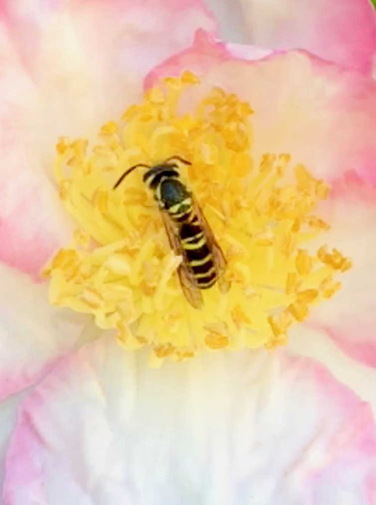
Bee on a flower SC
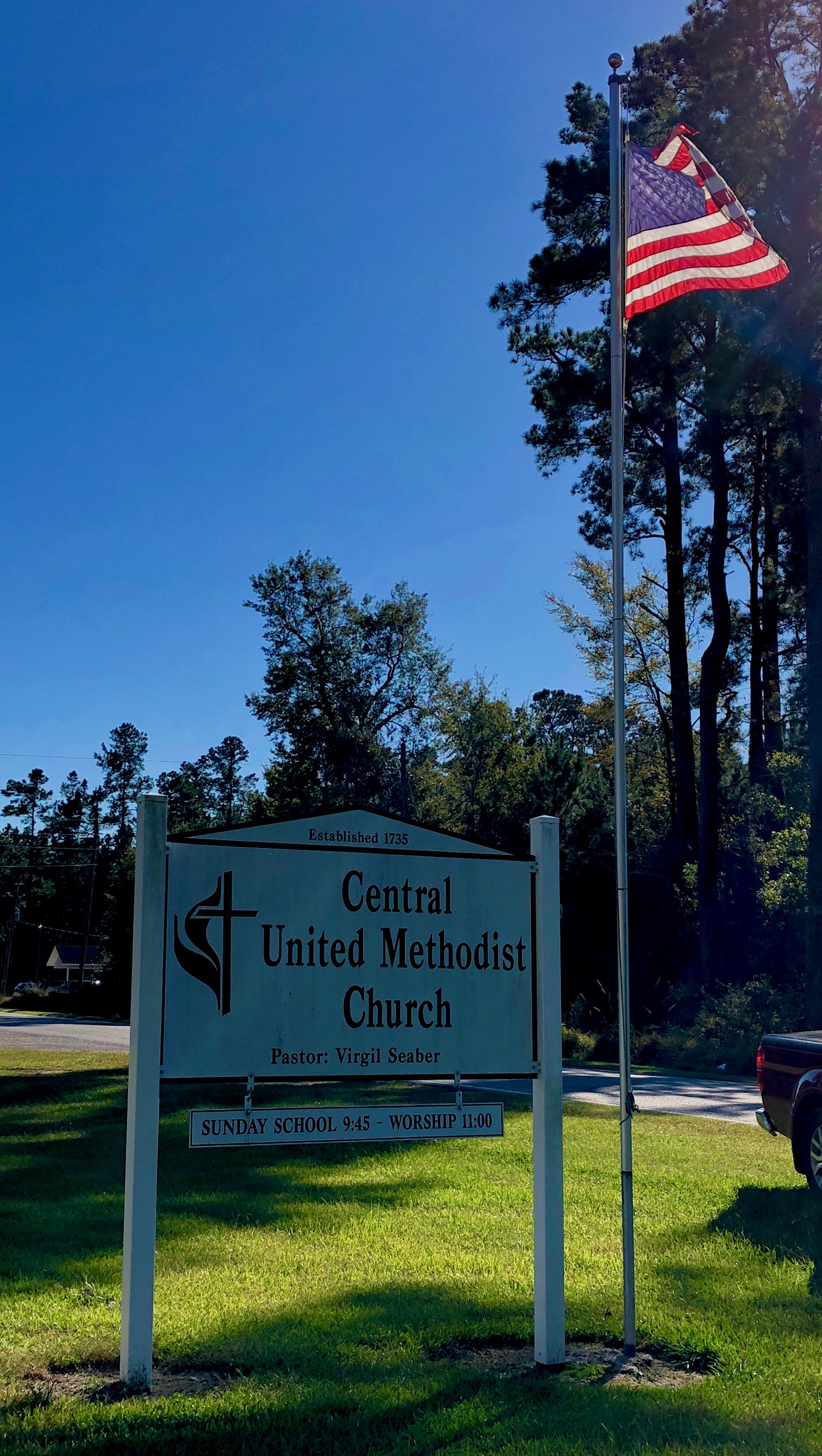
Central United Methodist Church South Carolina 1735
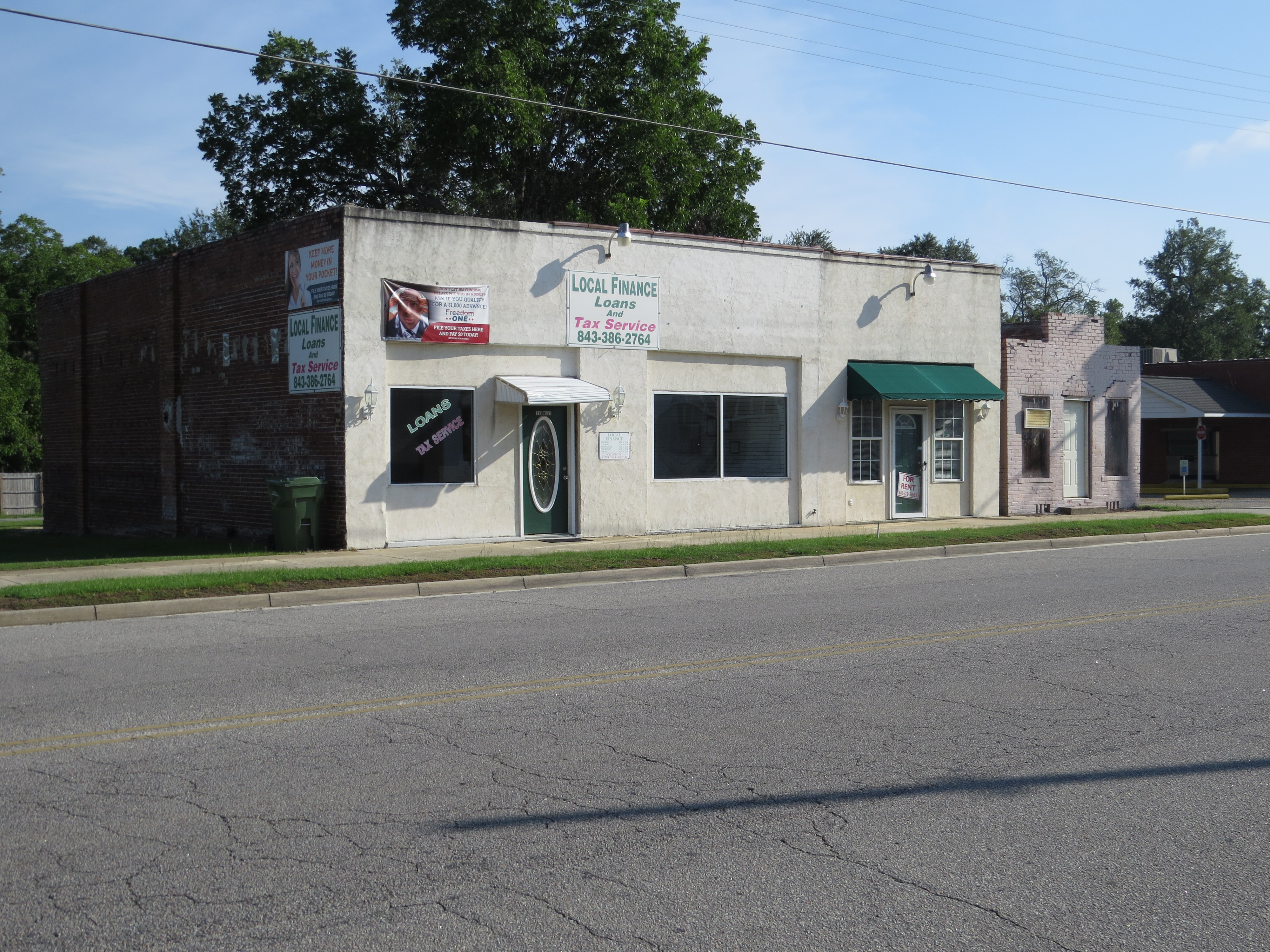
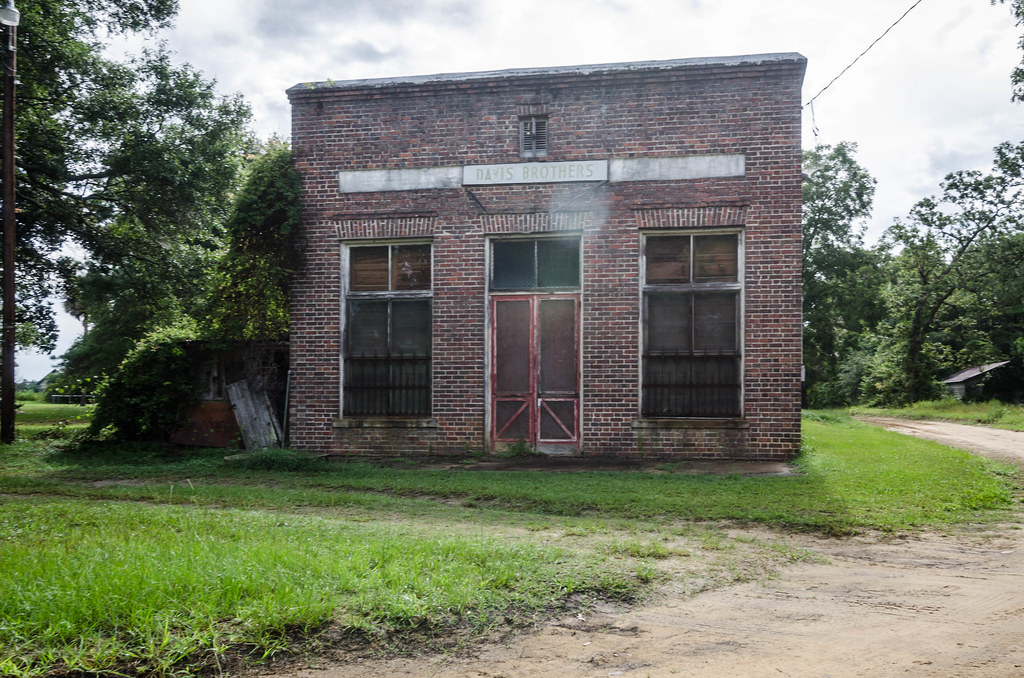
Johnsonville, SC
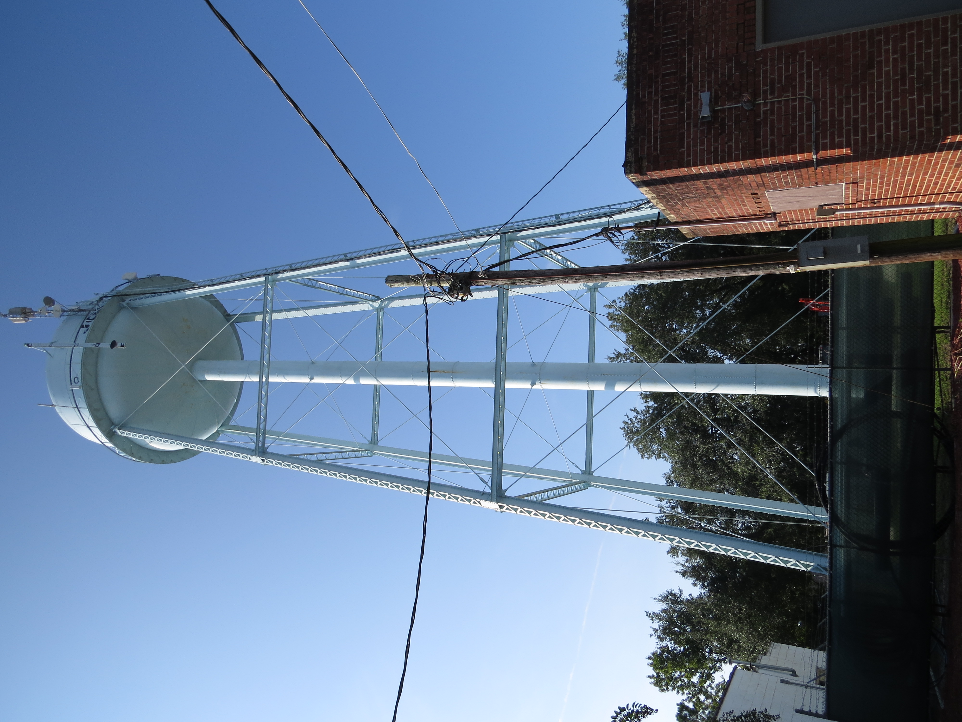
Water Tower, Johnsonville, SC
Johnsonville, SC
Ella's Grove-004

Civil War Grave Brittons Neck South Carolina. Old Neck Cemetery est. 1855
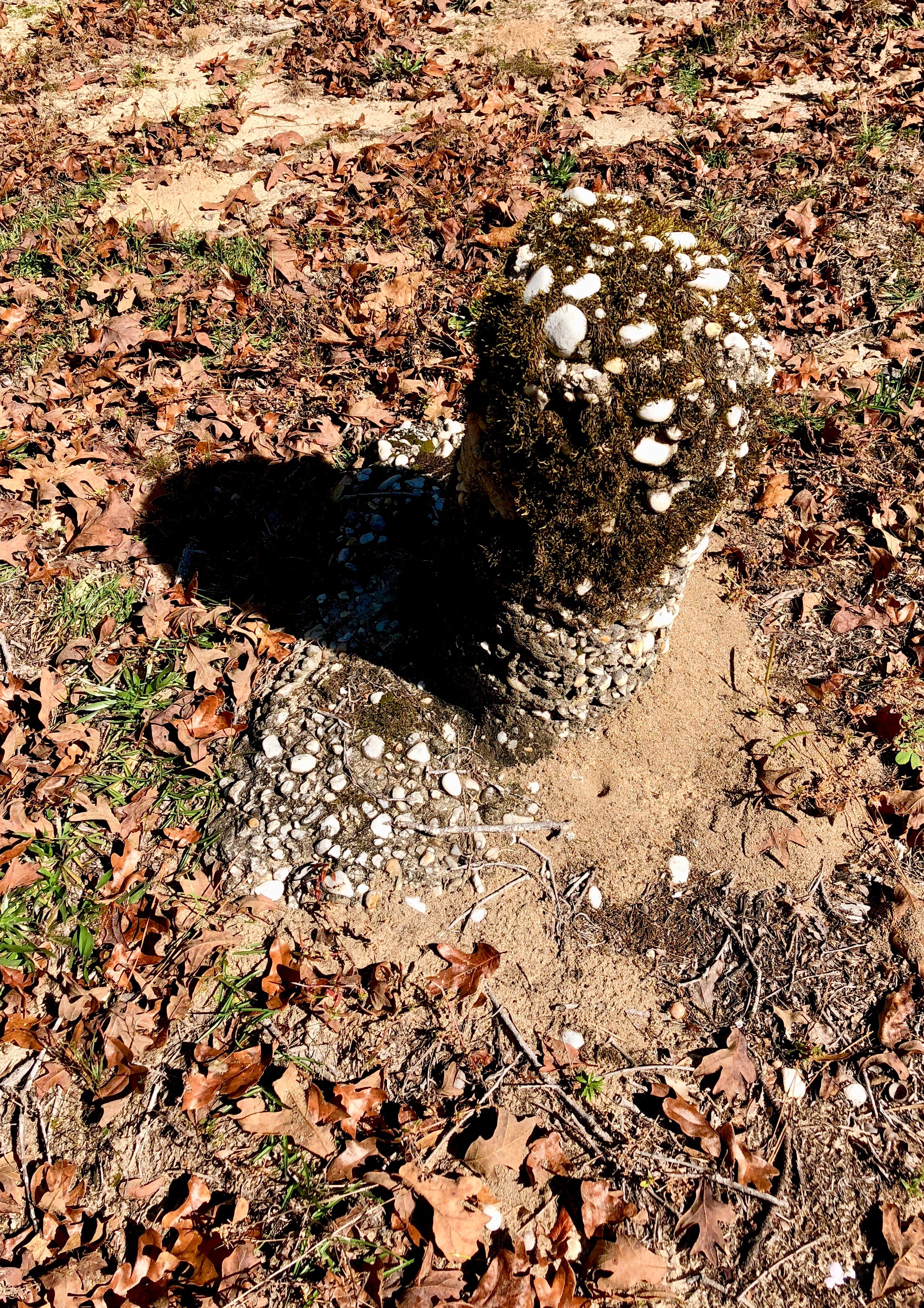
Homemade Grave marker from the 1800’s
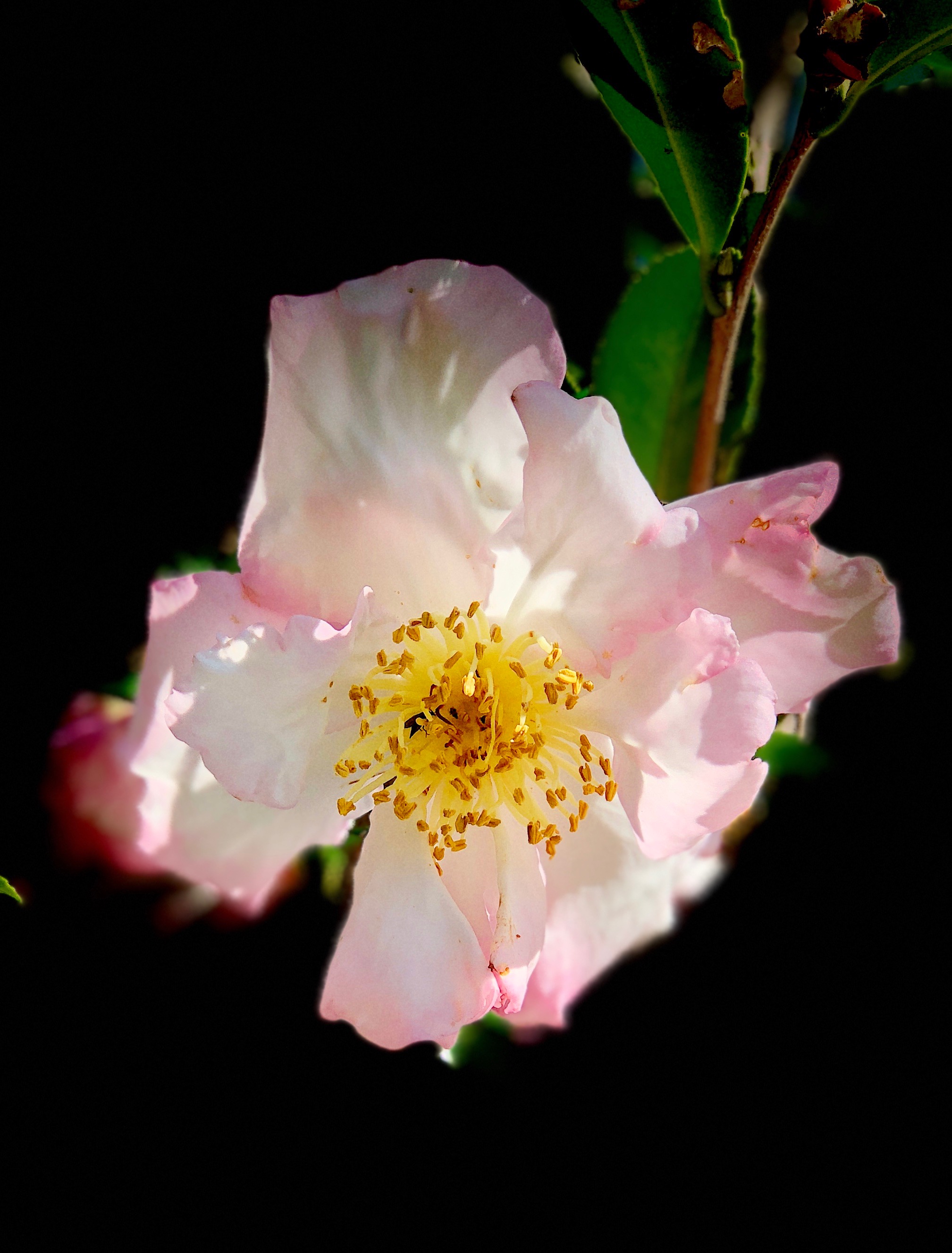
Flower South Carolina
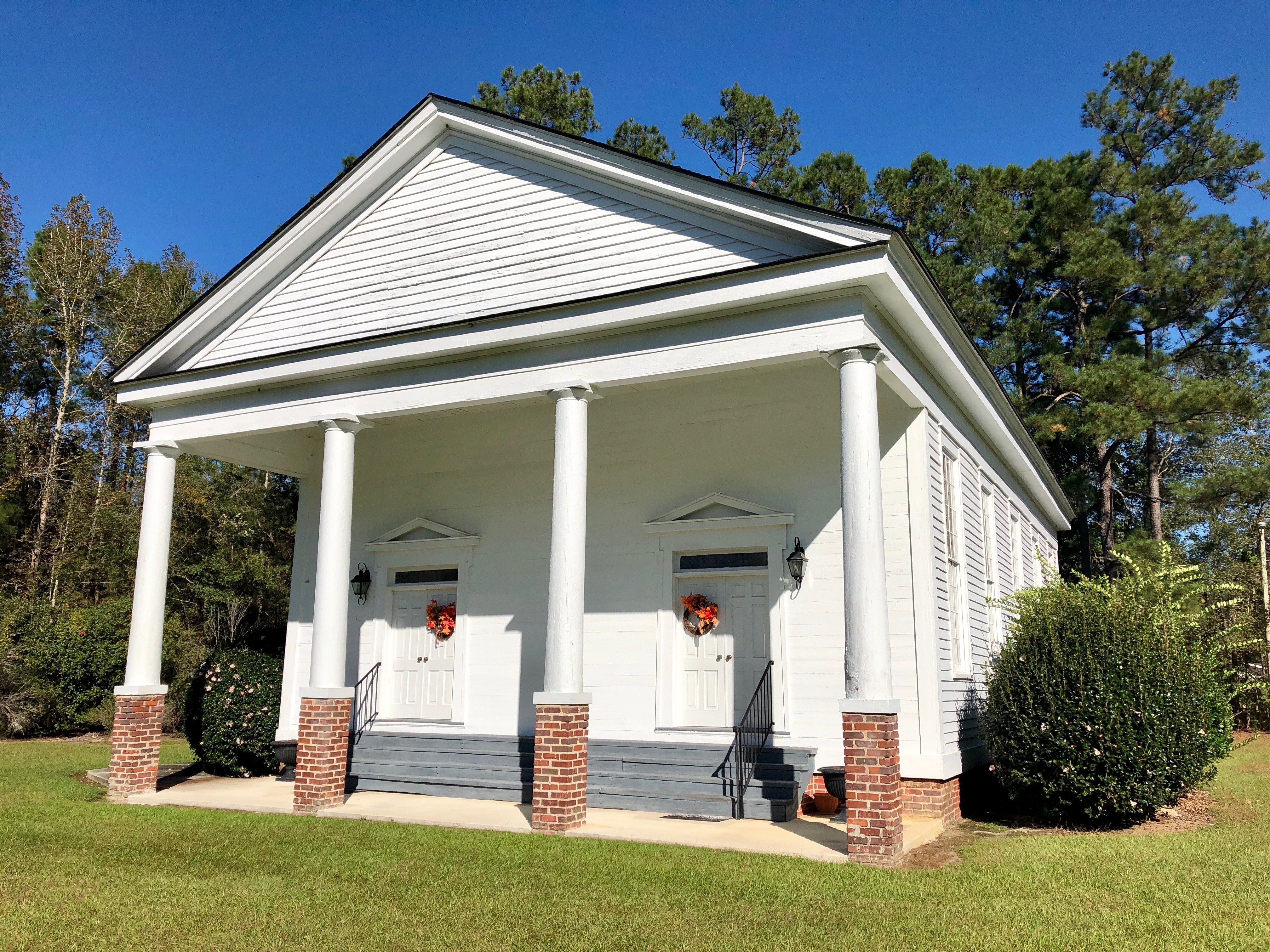
Central United Methodist Church South Carolina 1735
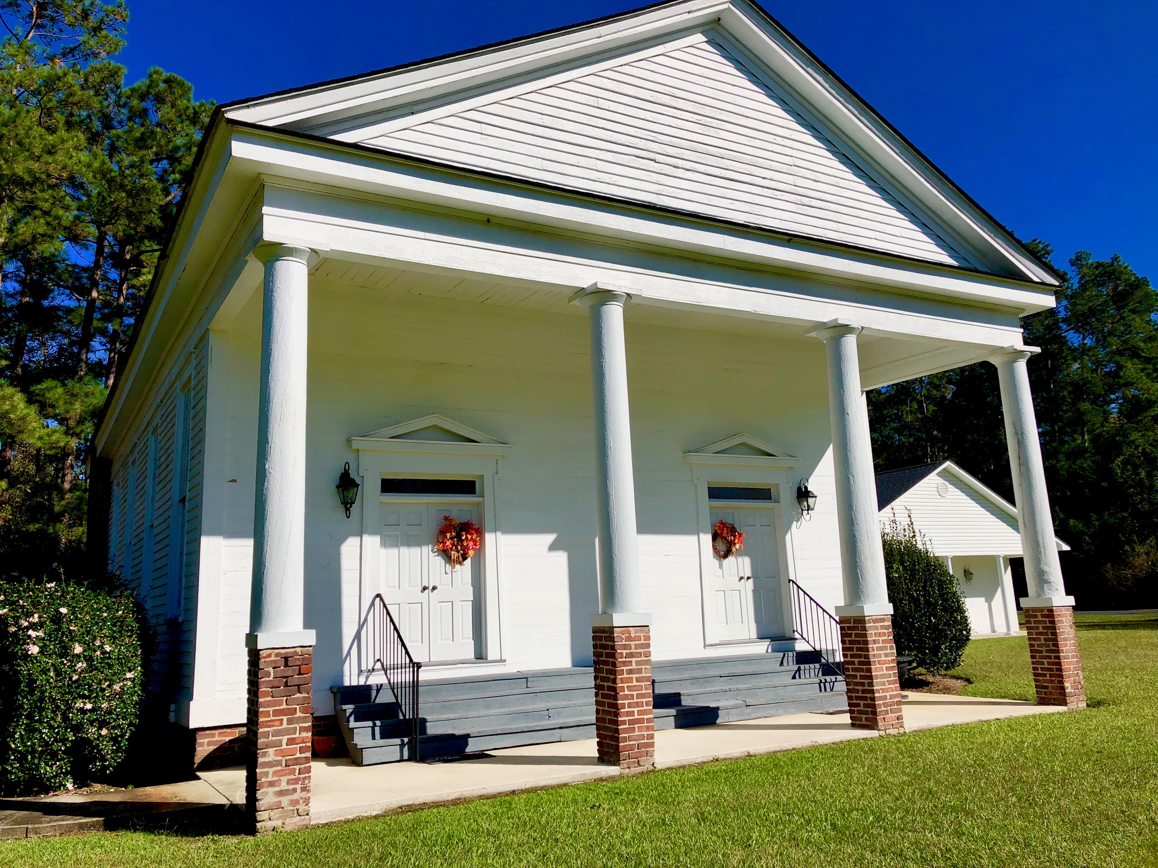
Central United Methodist Church South Carolina 1735

Flower and bee in South Carolina
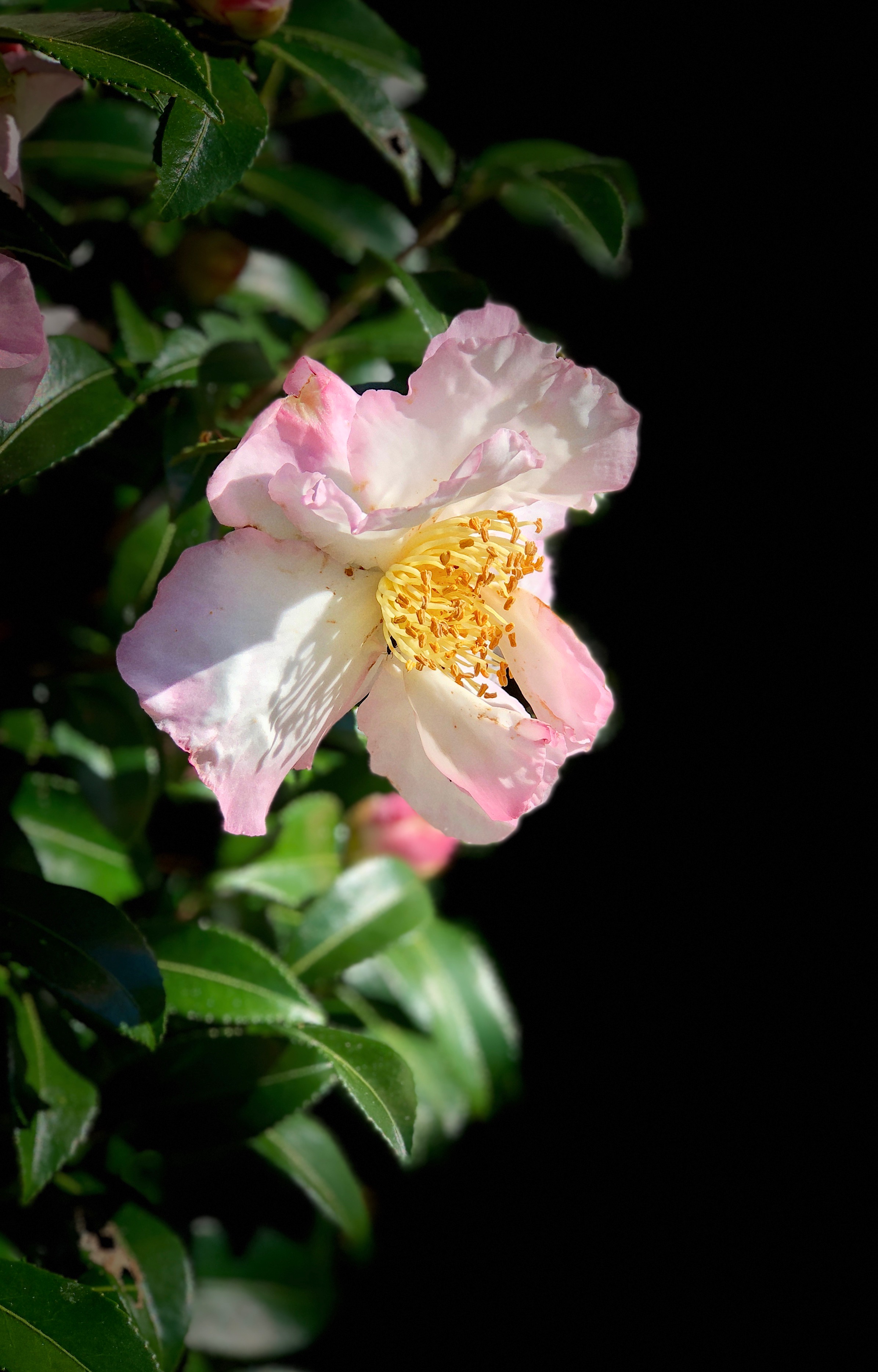
Flower in South Carolina
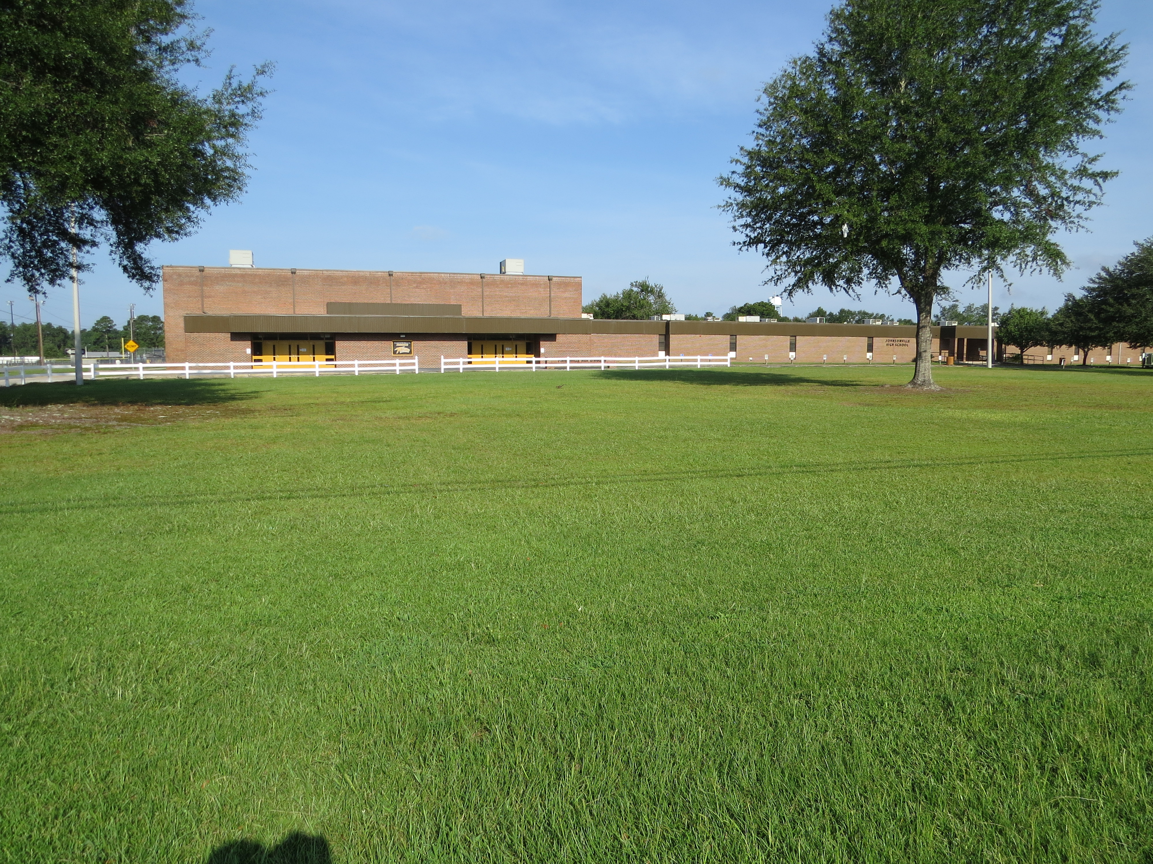
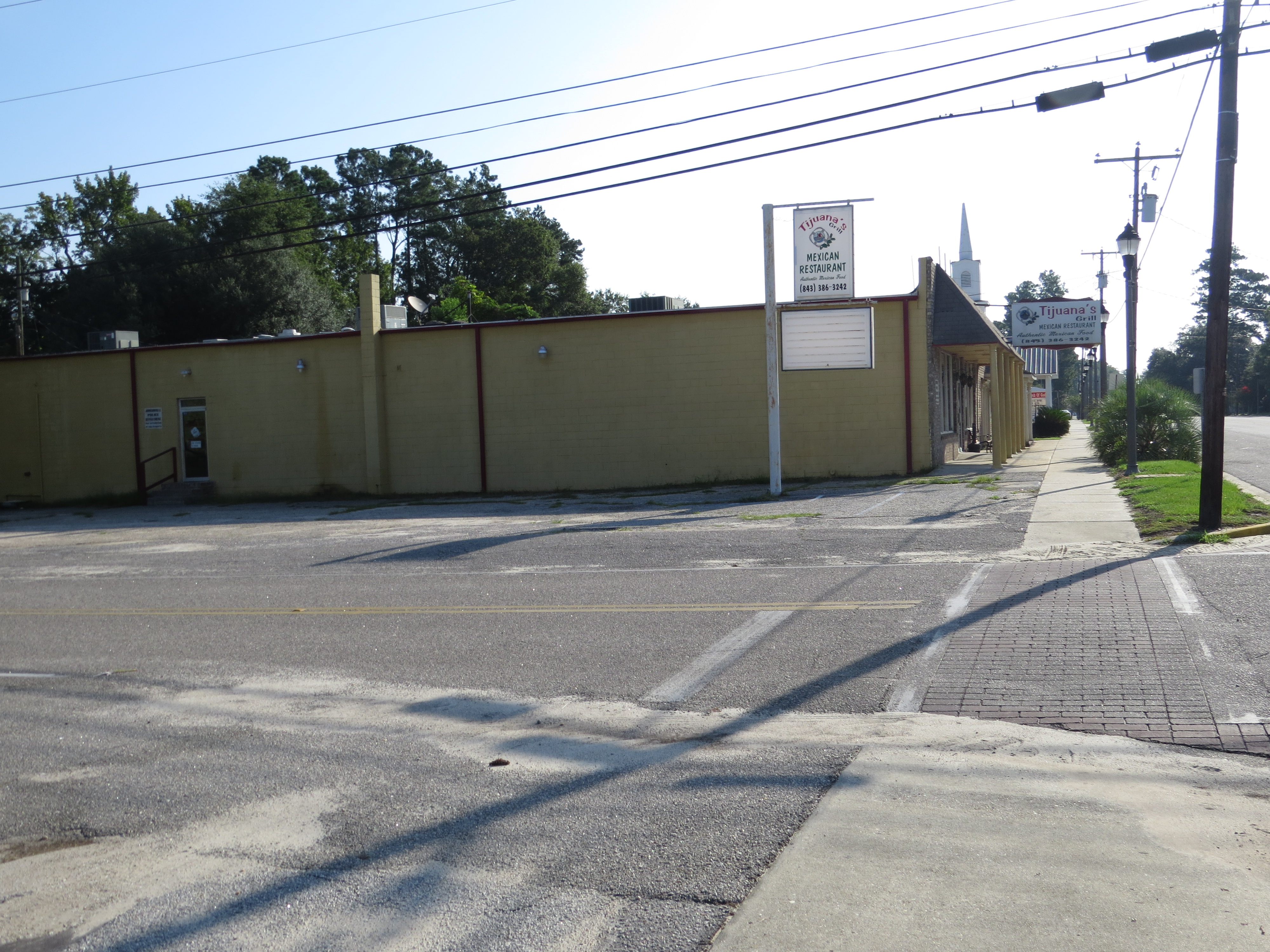
Johnsonville, SC
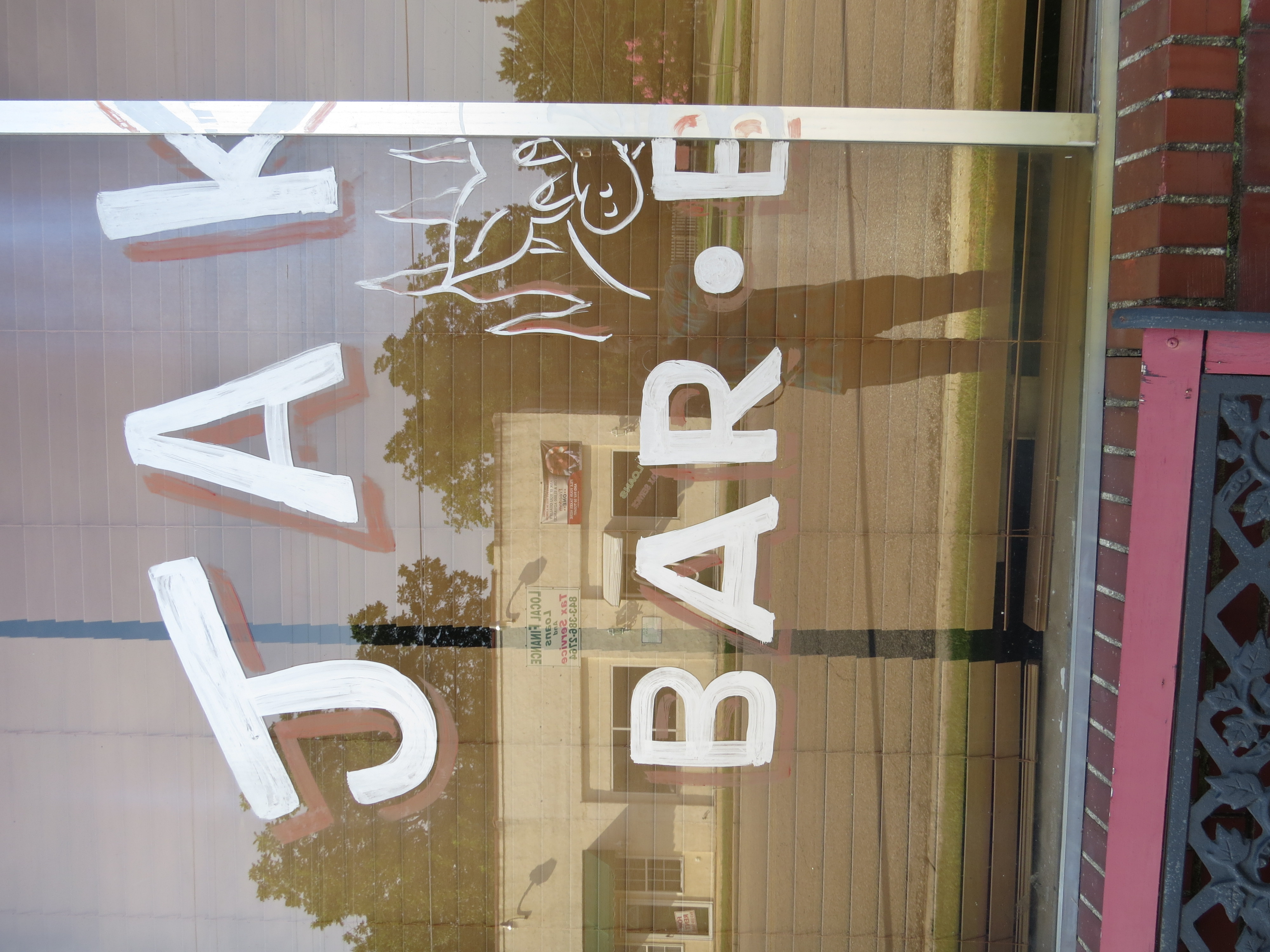
Sign, Johnsonville, SC
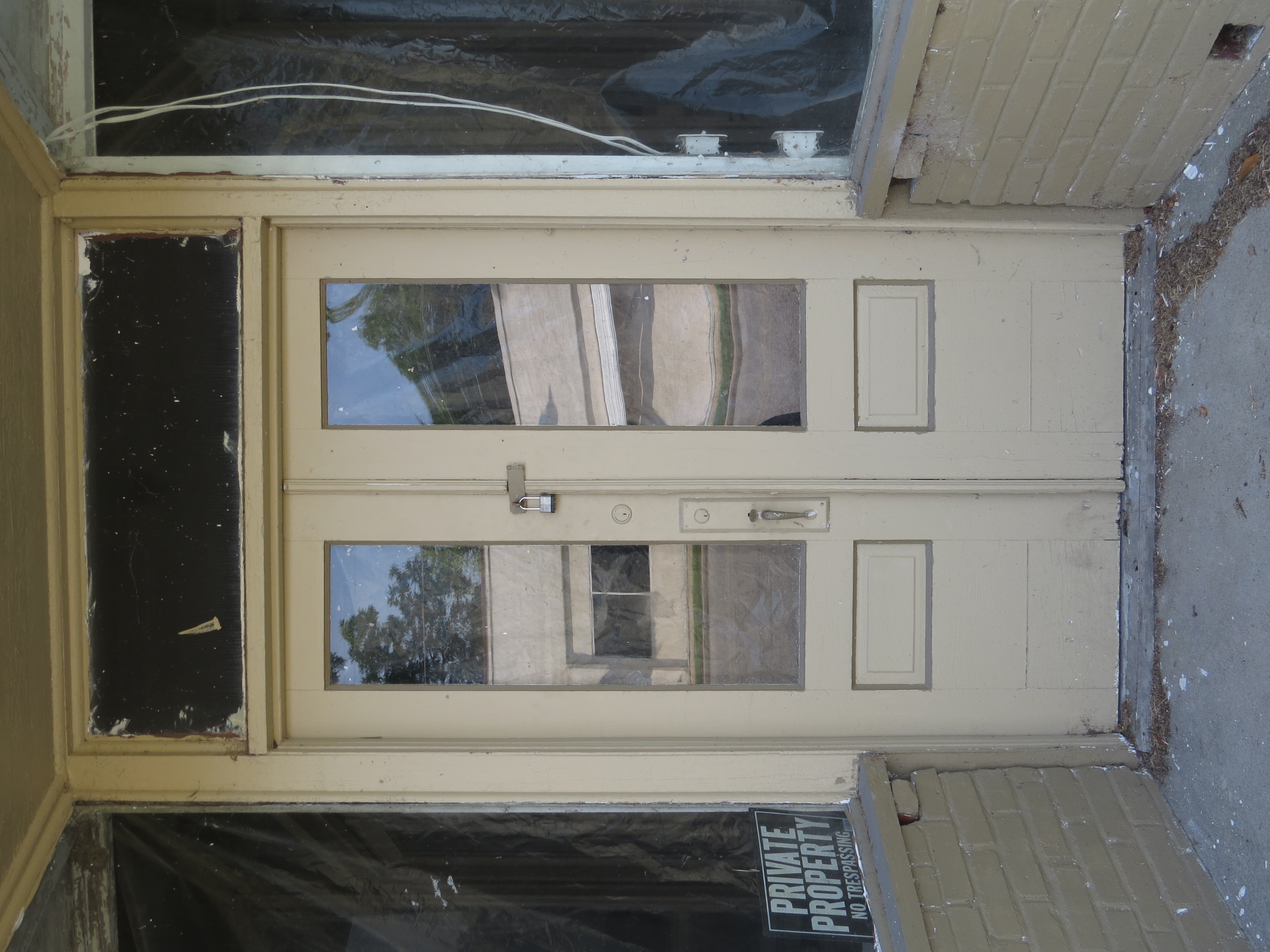
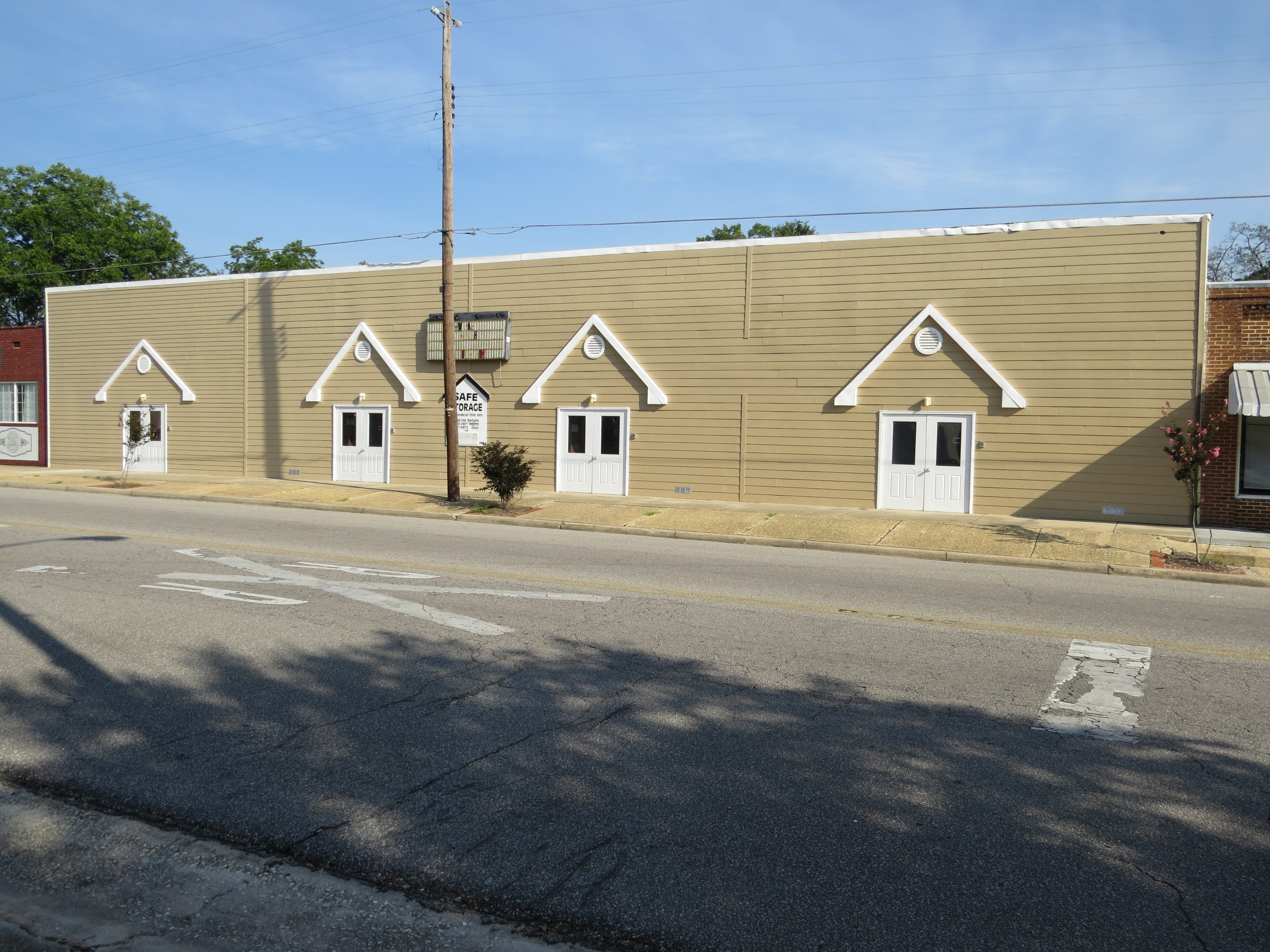
Johnsonville, SC
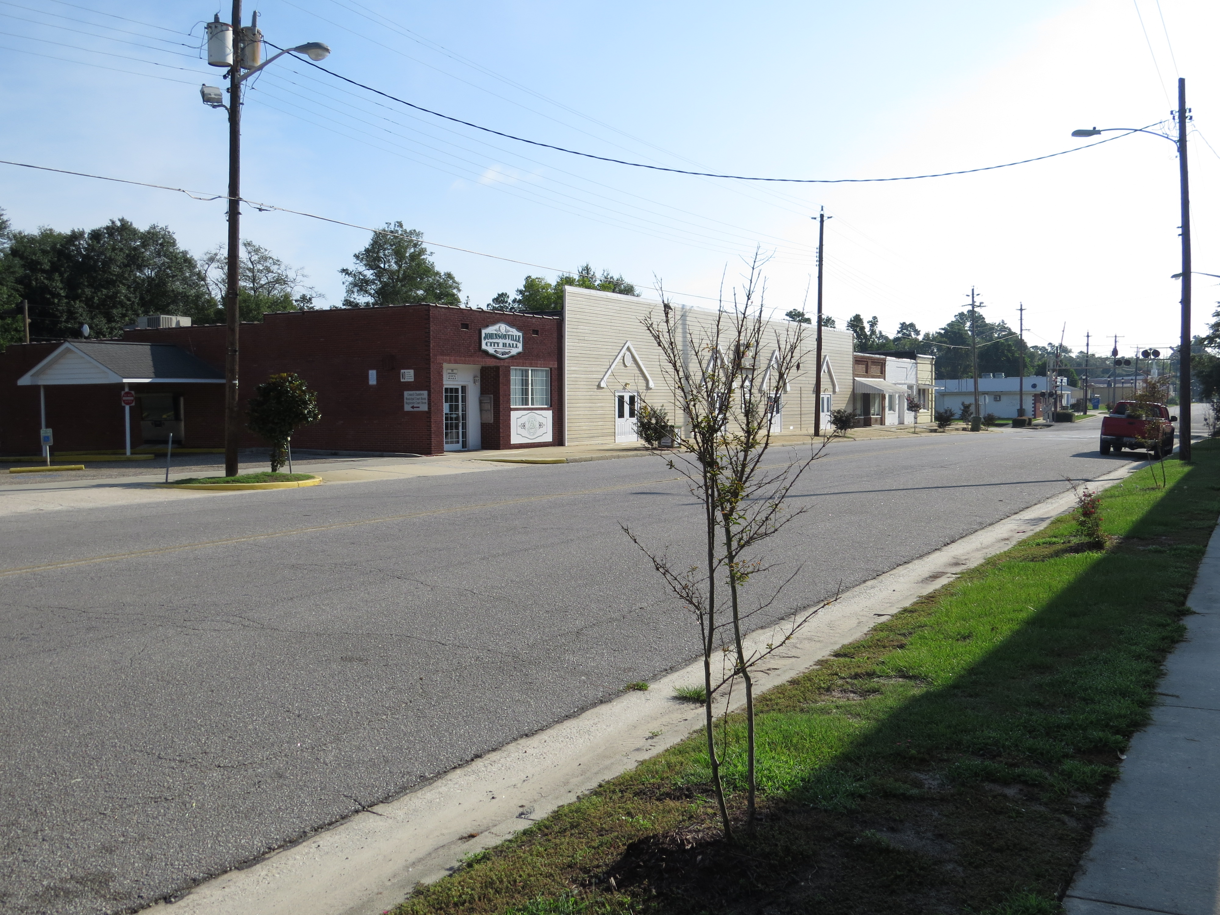
Johnsonville, SC
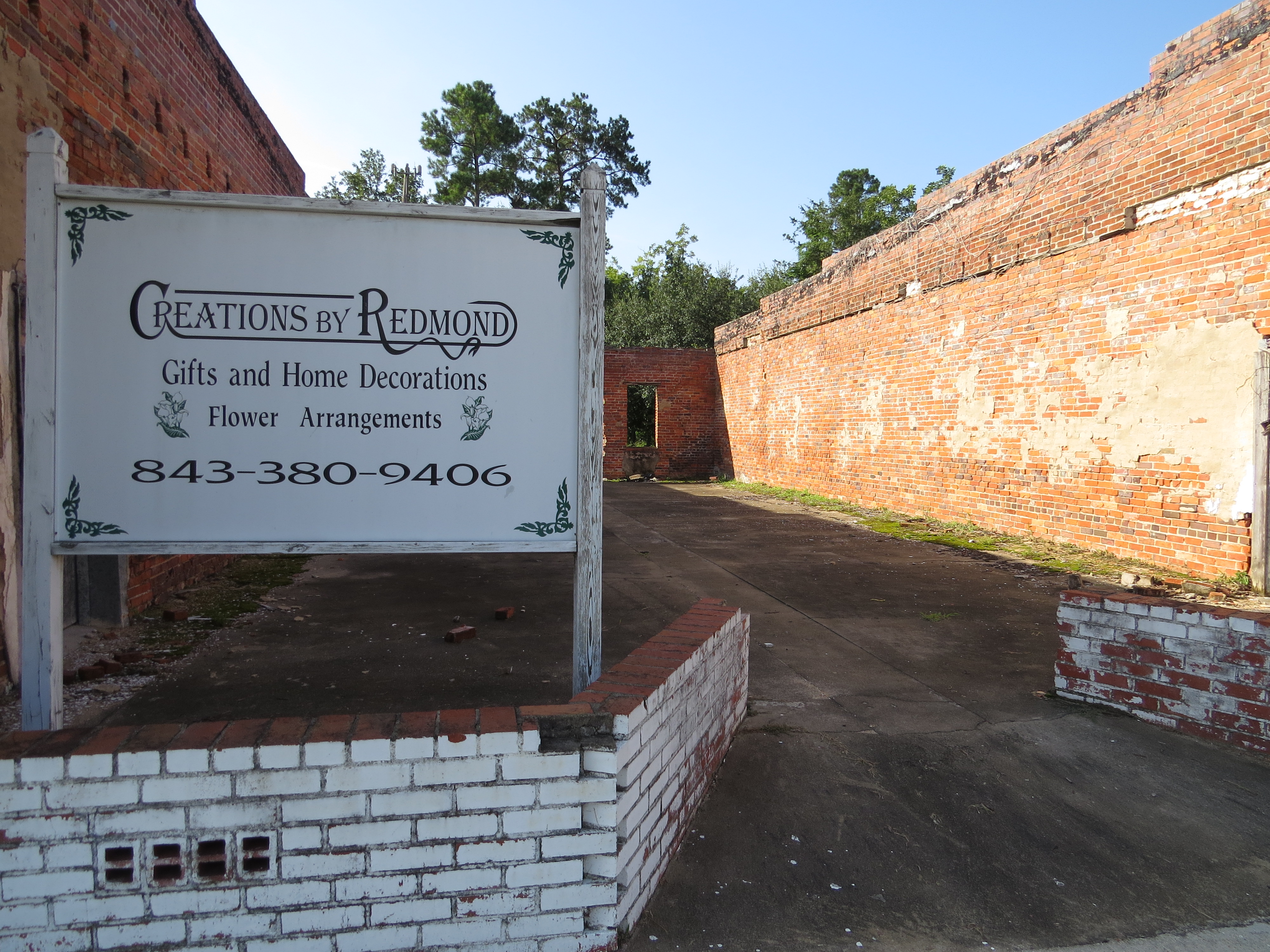
Sign, Johnsonville, SC

Sign, Johnsonville, SC
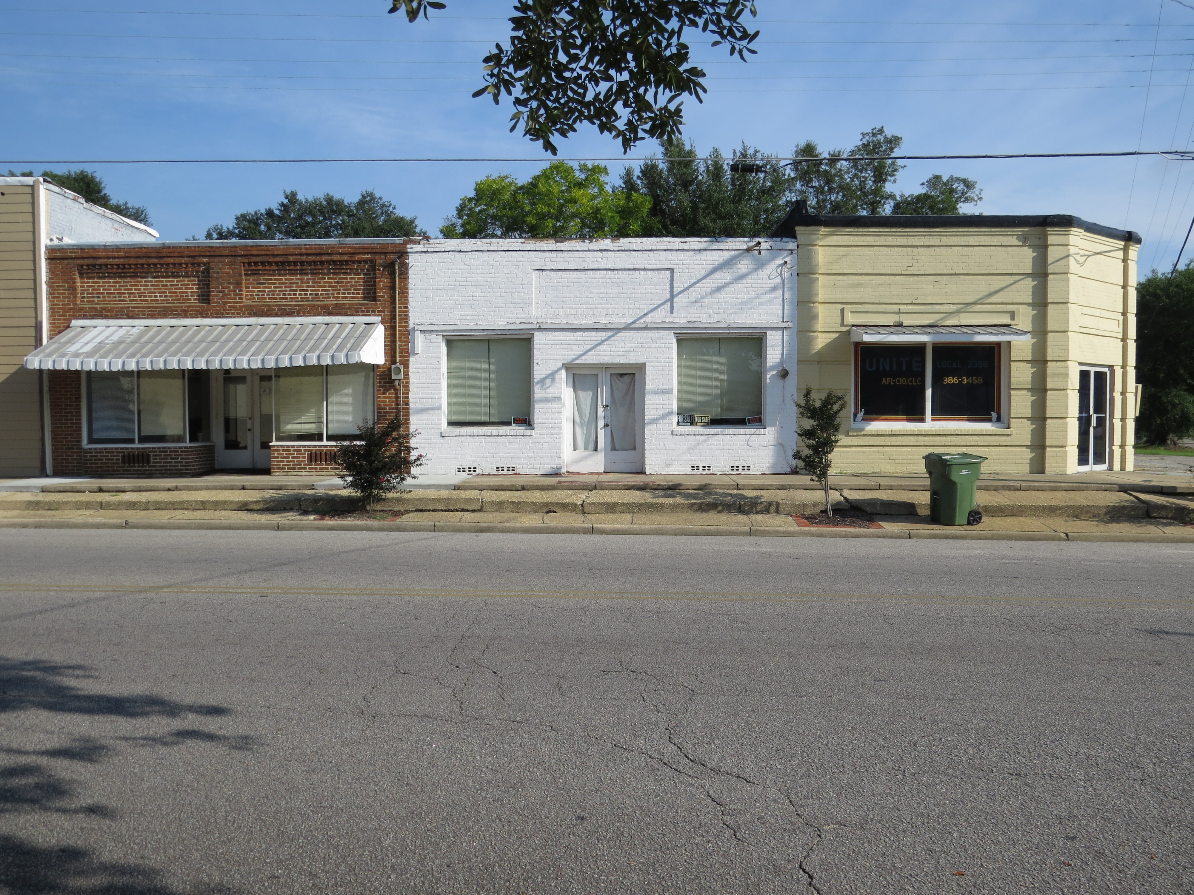
Johnsonville, SC
Johnsonville, SC
Topographic Map of Paul Richardson Rd, Gresham, SC, USA
Find elevation by address:

Places near Paul Richardson Rd, Gresham, SC, USA:
7133 Farm Rd
Brittons Neck
7016 Sc-908
US-, Gresham, SC, USA
369 Duvall Ct
2408 Oakridge Rd
Bay Road
8765 Bay Rd
Johnsonville
6830 Middleton Rd
6923 Juniper Bay Rd
US-, Conway, SC, USA
Oak Grove Road
Pee Dee Athletic Associates
Pee Dee Hwy, Conway, SC, USA
6075 Us-378
6714 Lundy Short Cut Rd
6270 Lundy Short Cut Rd
116 Pumpkin Ash Loop
6030 Ford Taylor Rd
Recent Searches:
- Elevation of East W.T. Harris Boulevard, E W.T. Harris Blvd, Charlotte, NC, USA
- Elevation of West Sugar Creek, Charlotte, NC, USA
- Elevation of Wayland, NY, USA
- Elevation of Steadfast Ct, Daphne, AL, USA
- Elevation of Lagasgasan, X+CQH, Tiaong, Quezon, Philippines
- Elevation of Rojo Ct, Atascadero, CA, USA
- Elevation of Flagstaff Drive, Flagstaff Dr, North Carolina, USA
- Elevation of Avery Ln, Lakeland, FL, USA
- Elevation of Woolwine, VA, USA
- Elevation of Lumagwas Diversified Farmers Multi-Purpose Cooperative, Lumagwas, Adtuyon, RV32+MH7, Pangantucan, Bukidnon, Philippines