Elevation of Patrick Rd, Adams, NY, USA
Location: United States > New York > Jefferson County > Rodman > Rodman >
Longitude: -75.962748
Latitude: 43.814836
Elevation: 279m / 915feet
Barometric Pressure: 98KPa
Elevation Map:
Satellite Map:
Related Photos:
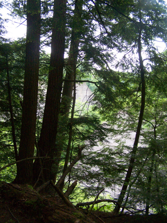
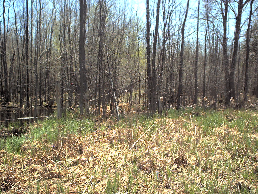
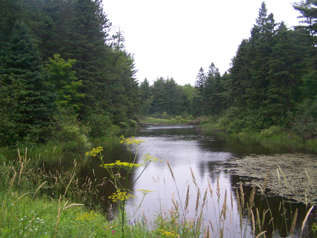
More Trees Blocking Views Into Gulf
Pic-0024
Aug-0024
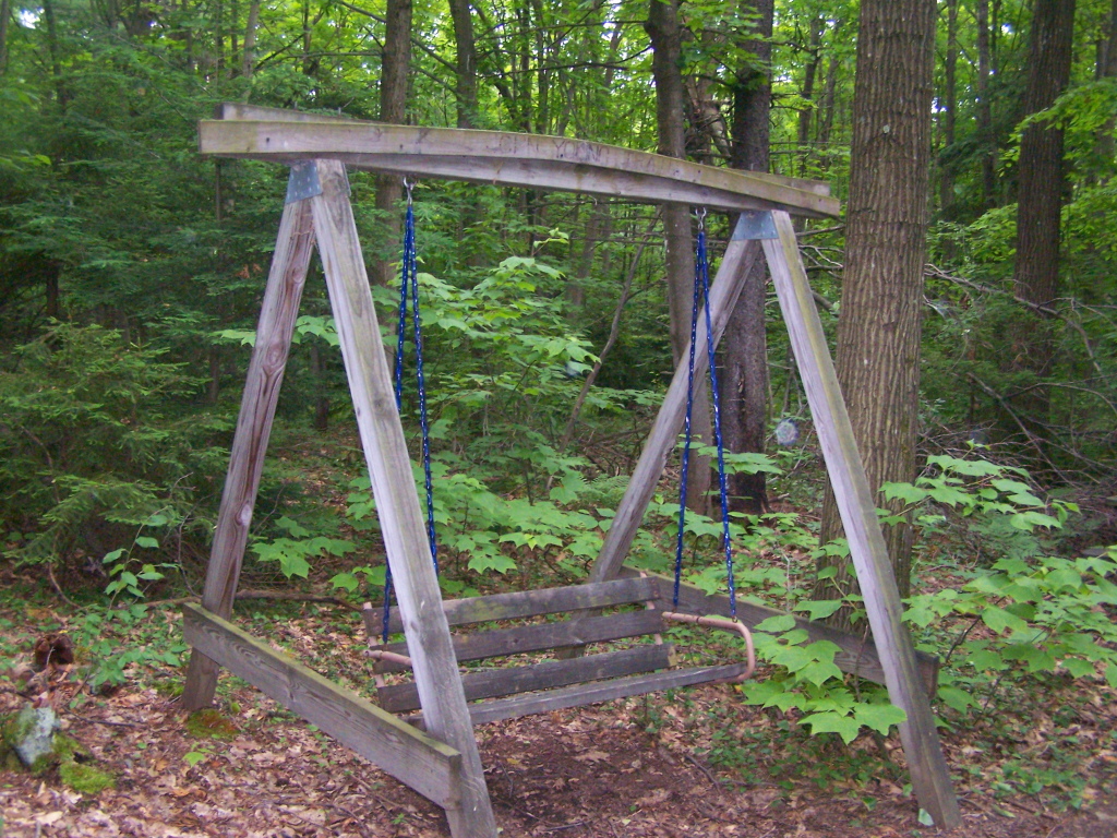
Swing Along Oak Ridge Trail
Pic-0029

After Sunset

Looking Up

Walking at Inman Gulf
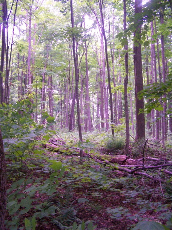
Walking Through Glacially Cut Ridge
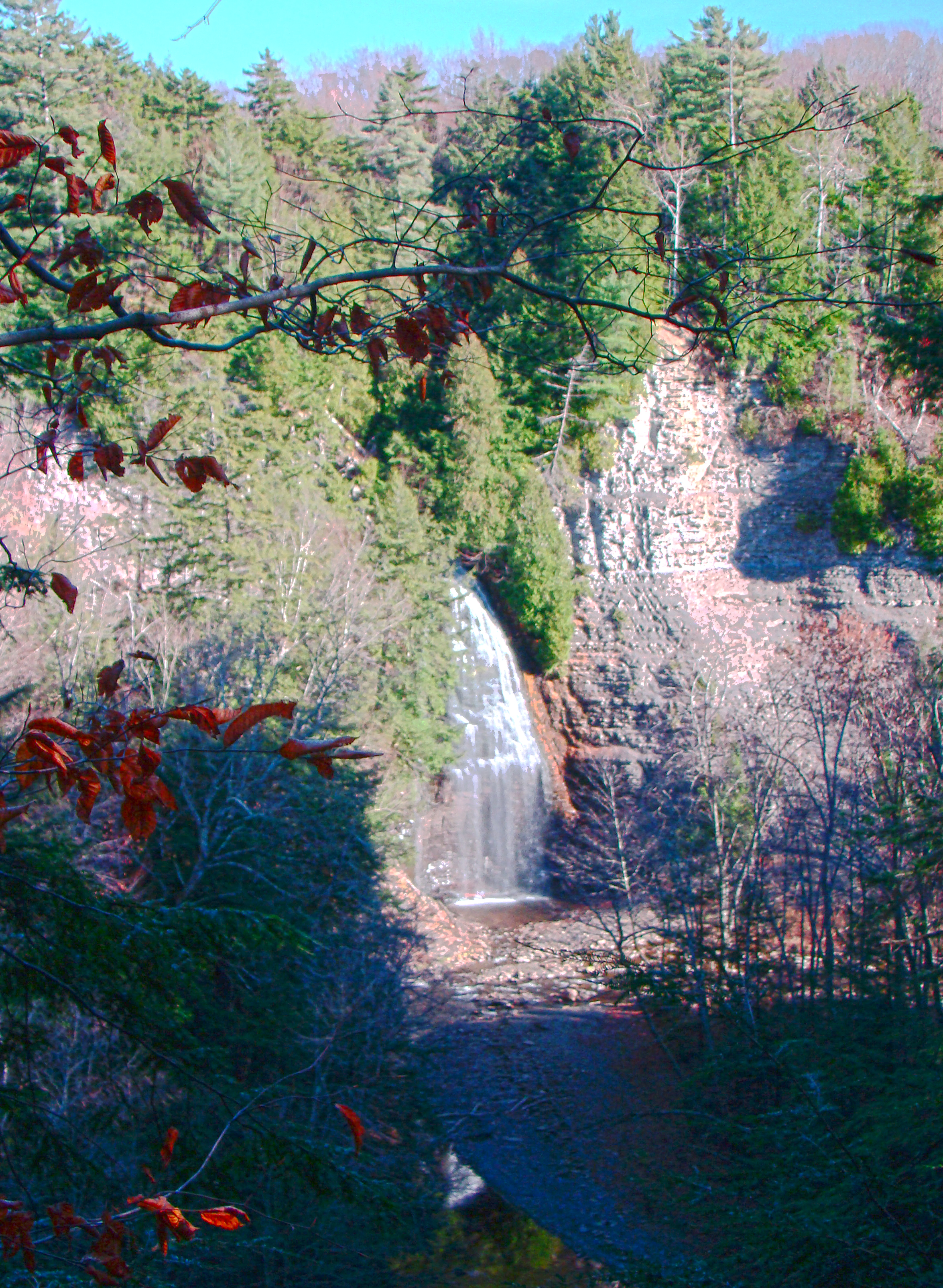
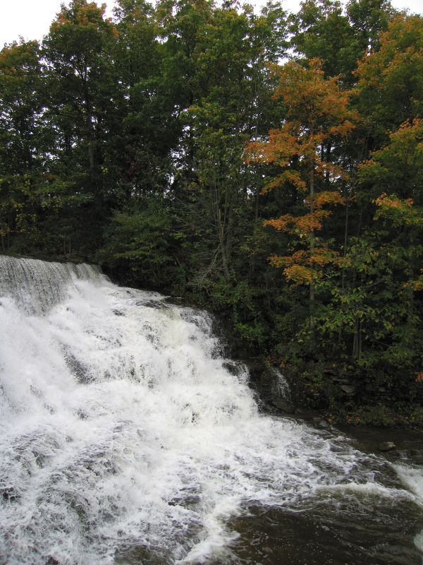
Rainbow Falls HDR

Talcott Falls3
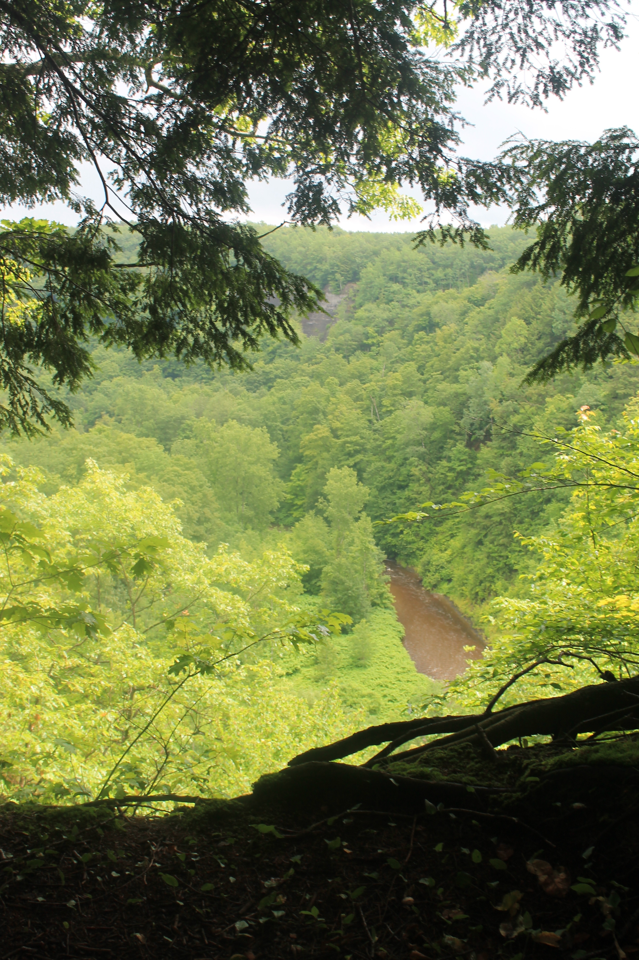
Peering Into the Gulf
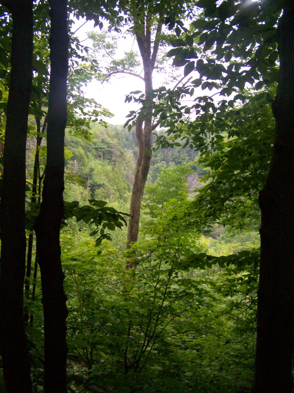
Looking Into Valley Above Gorge

Trying Out My New Backlit Flag
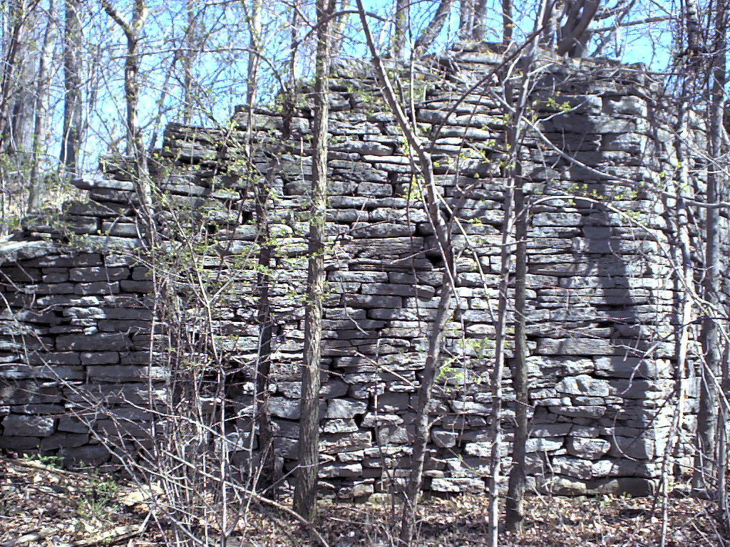
The Gulf
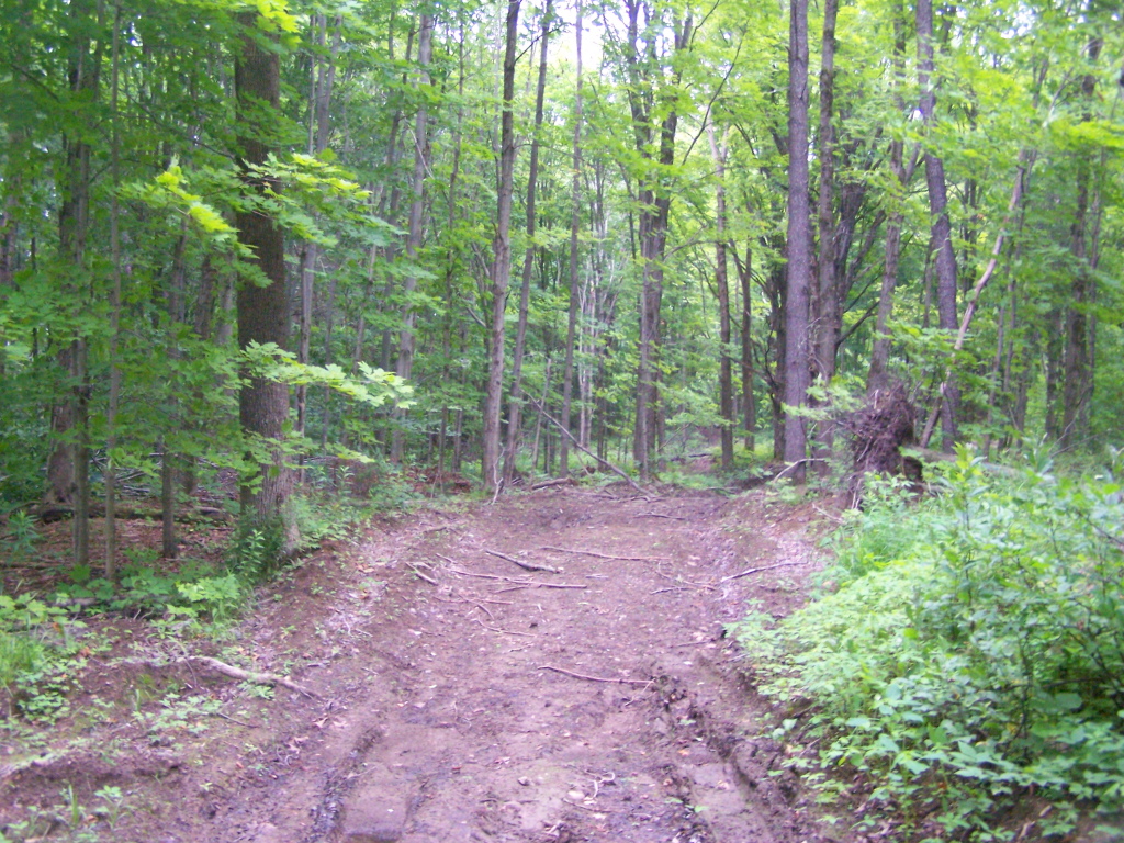
Hiking on Timber Road
Into the Gorge
Burrville Cider Mill falls
Start of the Rim Trail
Pic-0017
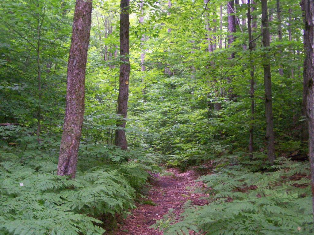
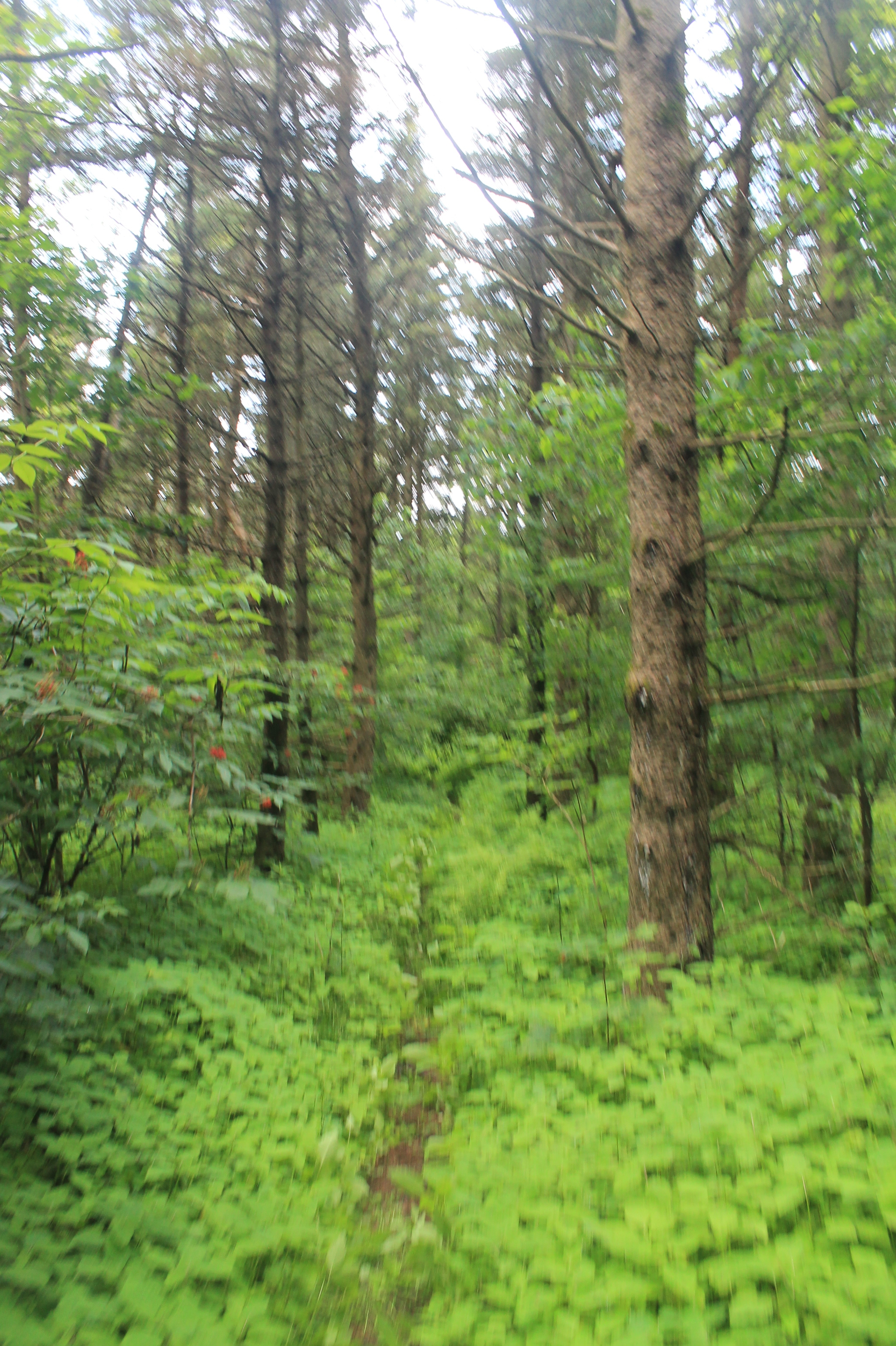
Walking Through Recently Thinned Forest

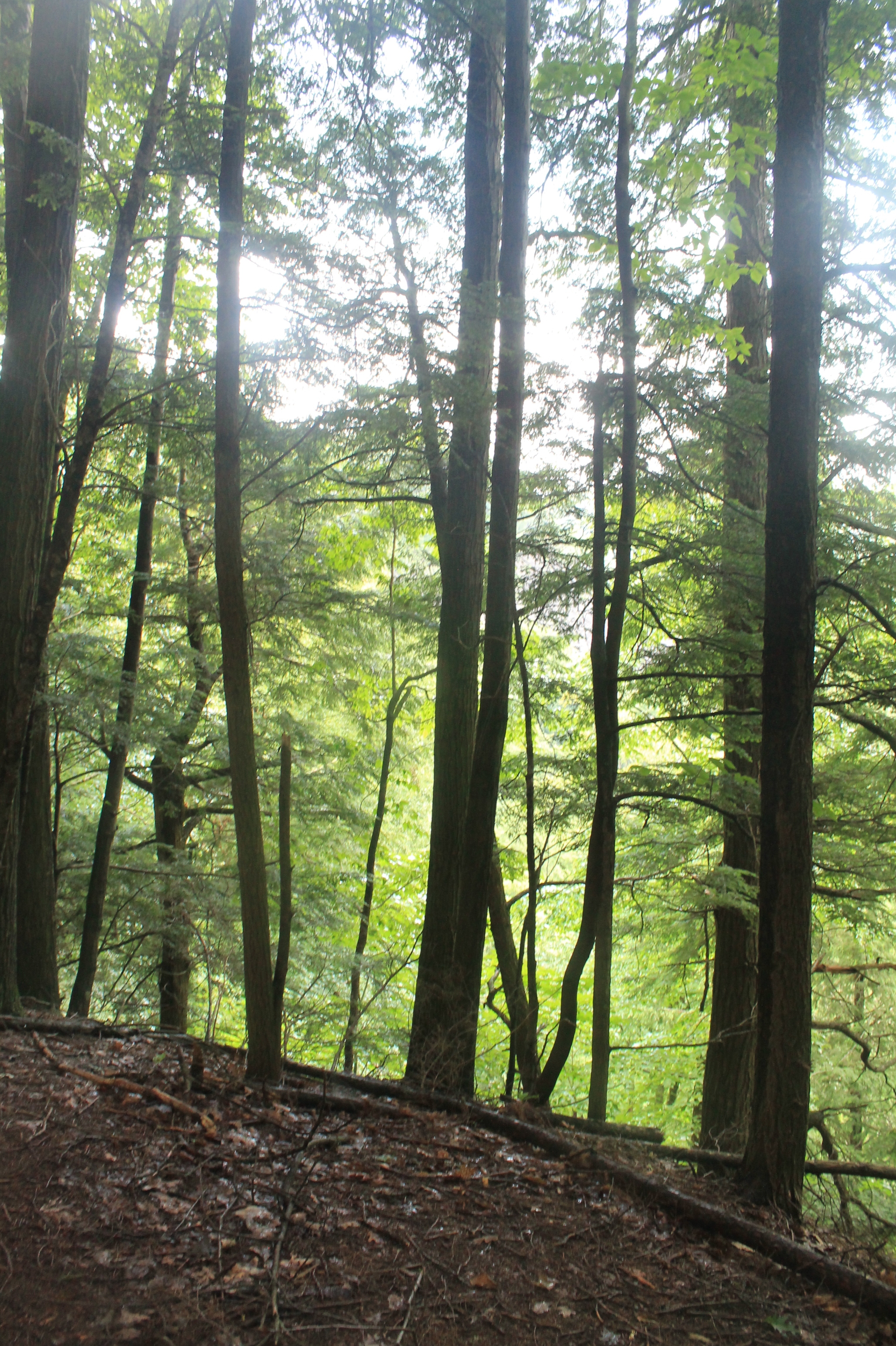
East Into Gorge
Topographic Map of Patrick Rd, Adams, NY, USA
Find elevation by address:

Places near Patrick Rd, Adams, NY, USA:
County Rd 69, Rodman, NY, USA
Rodman
Lorraine
North Adams Heights
Adams Country Club
Adams
Adams Center
Adams
Lorraine
County Rd 76, Adams Center, NY, USA
Marsh Rd, Adams, NY, USA
Dixon Rd, Adams, NY, USA
County Rd 62, Watertown, NY, USA
Mannsville
Boylston
757 County Rte 13
County Rd 75, Adams, NY, USA
Smartville Rd, Lacona, NY, USA
Ellisburg
1511 County Rte 15
Recent Searches:
- Elevation of Pykes Down, Ivybridge PL21 0BY, UK
- Elevation of Jalan Senandin, Lutong, Miri, Sarawak, Malaysia
- Elevation of Bilohirs'k
- Elevation of 30 Oak Lawn Dr, Barkhamsted, CT, USA
- Elevation of Luther Road, Luther Rd, Auburn, CA, USA
- Elevation of Unnamed Road, Respublika Severnaya Osetiya — Alaniya, Russia
- Elevation of Verkhny Fiagdon, North Ossetia–Alania Republic, Russia
- Elevation of F. Viola Hiway, San Rafael, Bulacan, Philippines
- Elevation of Herbage Dr, Gulfport, MS, USA
- Elevation of Lilac Cir, Haldimand, ON N3W 2G9, Canada