Elevation of Patrice Rd, Church Point, NS B0W 1M0, Canada
Location: Canada > Nova Scotia > Digby County > Clare > Church Point >
Longitude: -66.072675
Latitude: 44.2912792
Elevation: 58m / 190feet
Barometric Pressure: 101KPa
Elevation Map:
Satellite Map:
Related Photos:

Église Sainte-Marie

Working Outside at Université Sainte-Anne

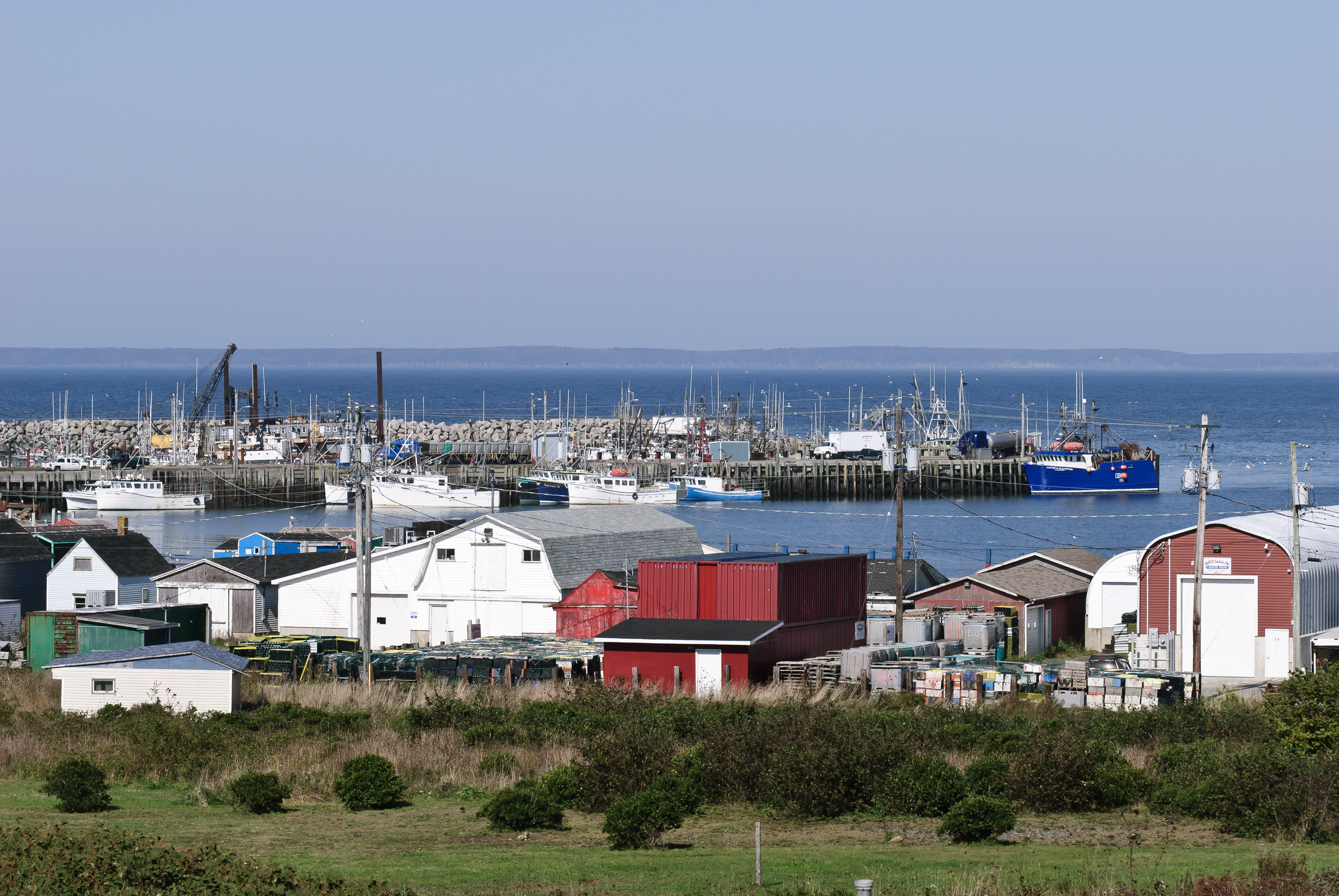
Tied to a way of life - deep sea fishing

View of Tiverton from other side of the Petit Passage

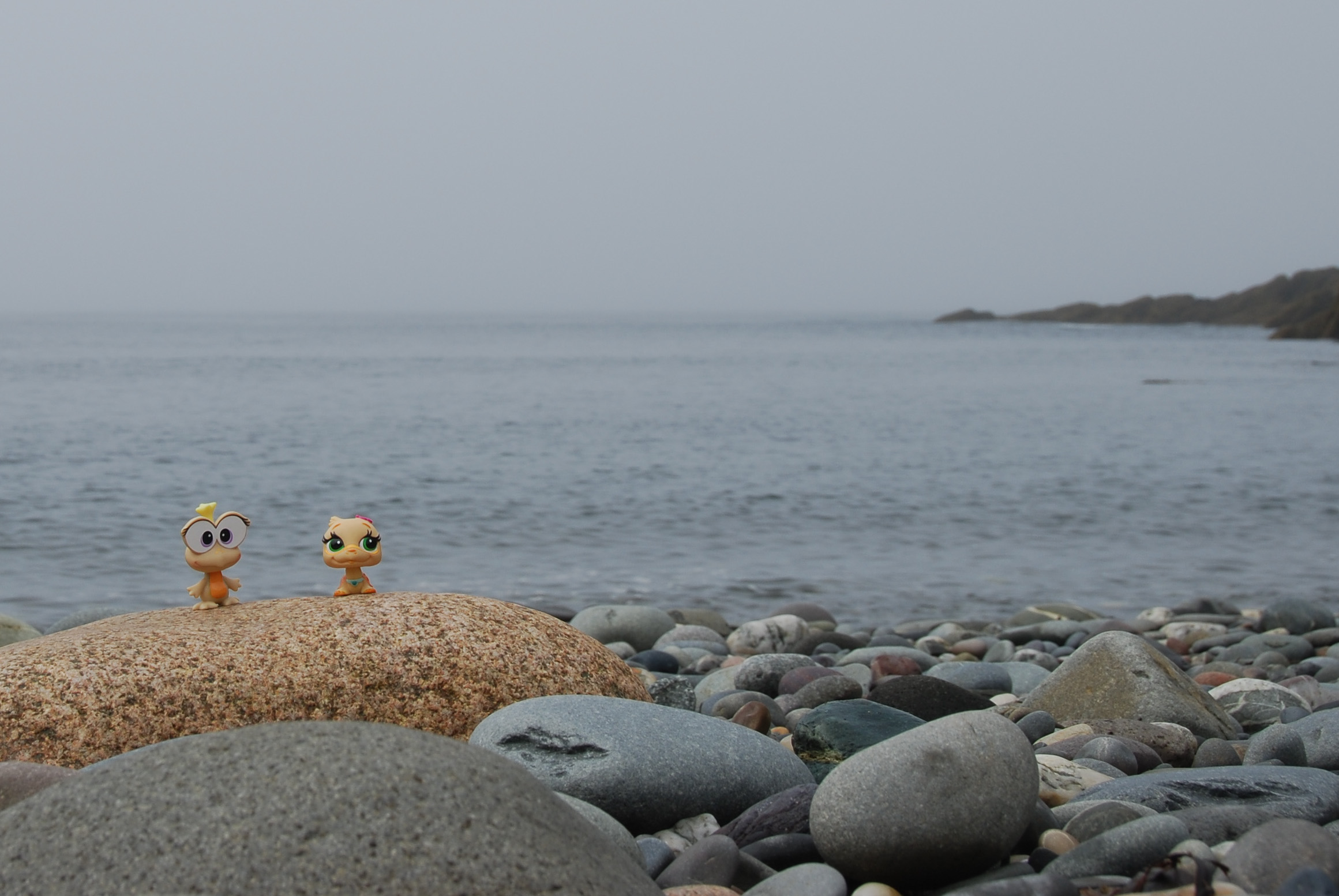
Smuggler's Cove
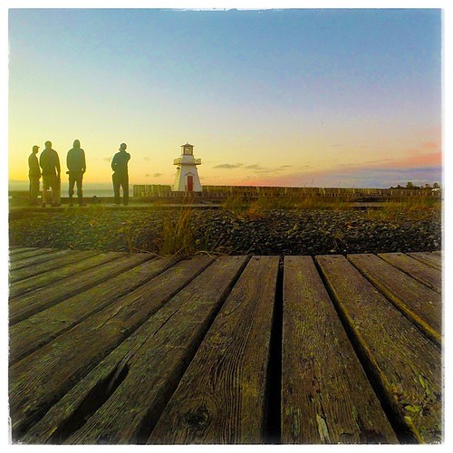
Belliveau Cove #lighthouse , Church Point, #NovaScotia #throwbackns
Belliveau Cove, Nova Scotia
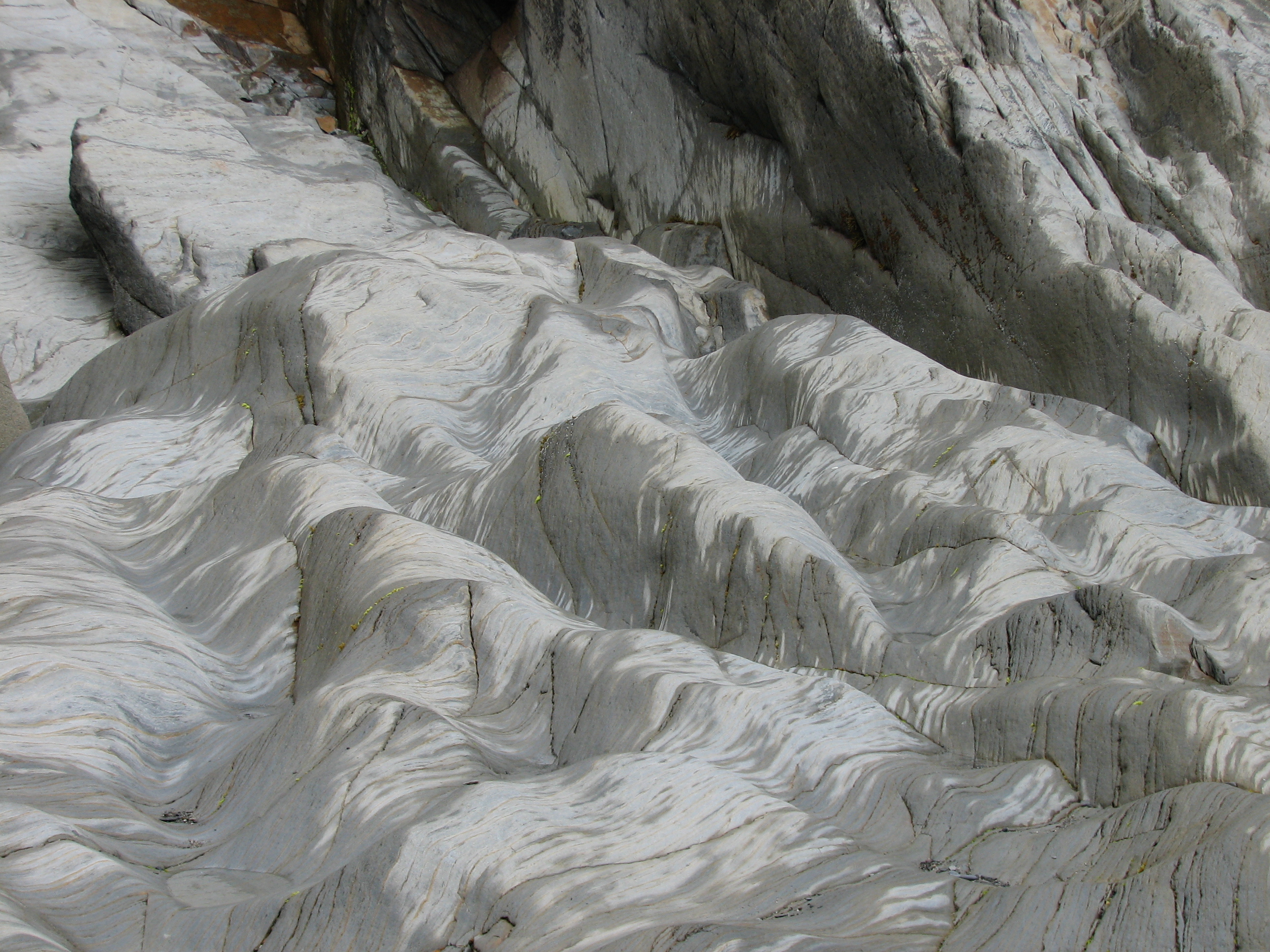
20080813-DSC_5304

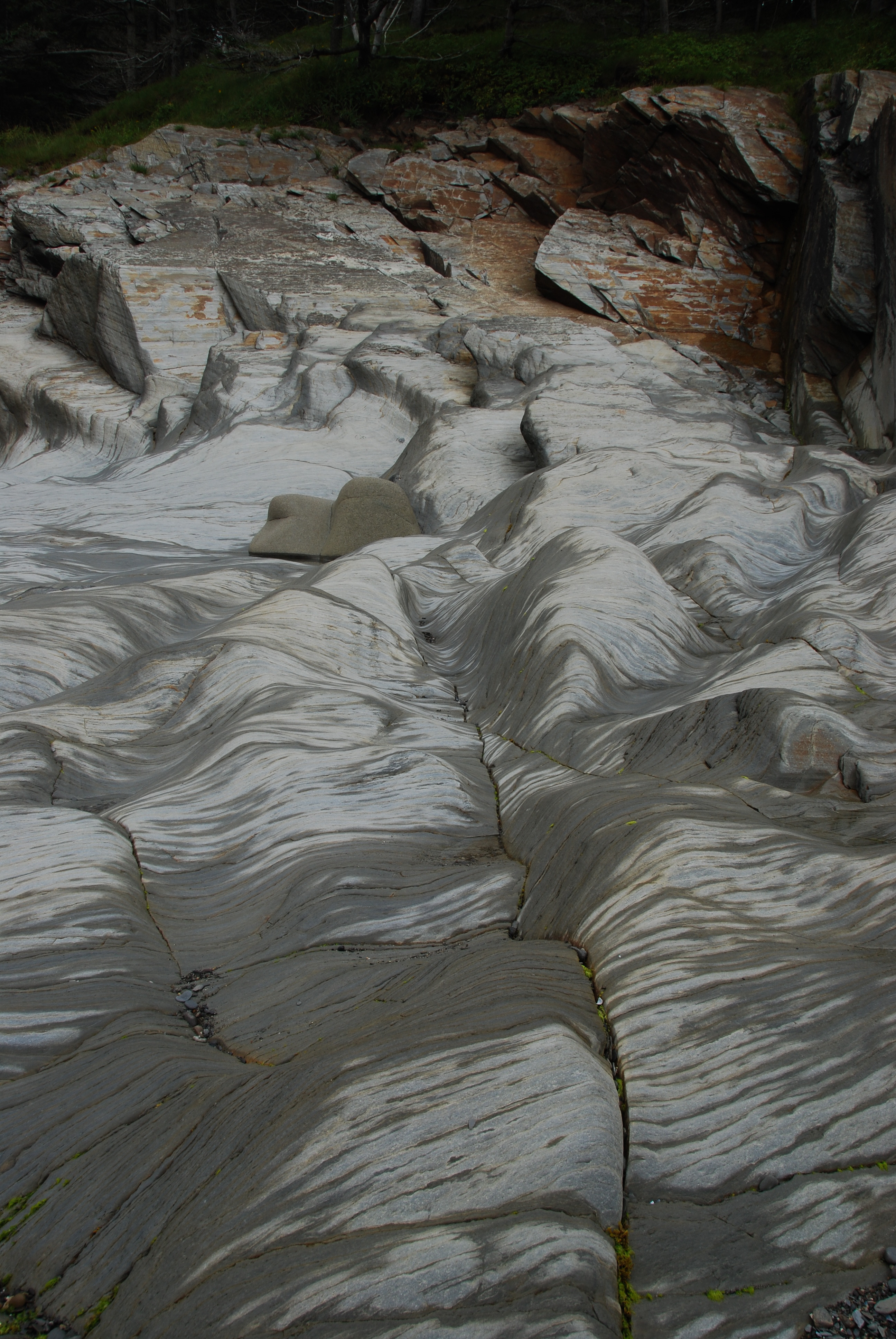
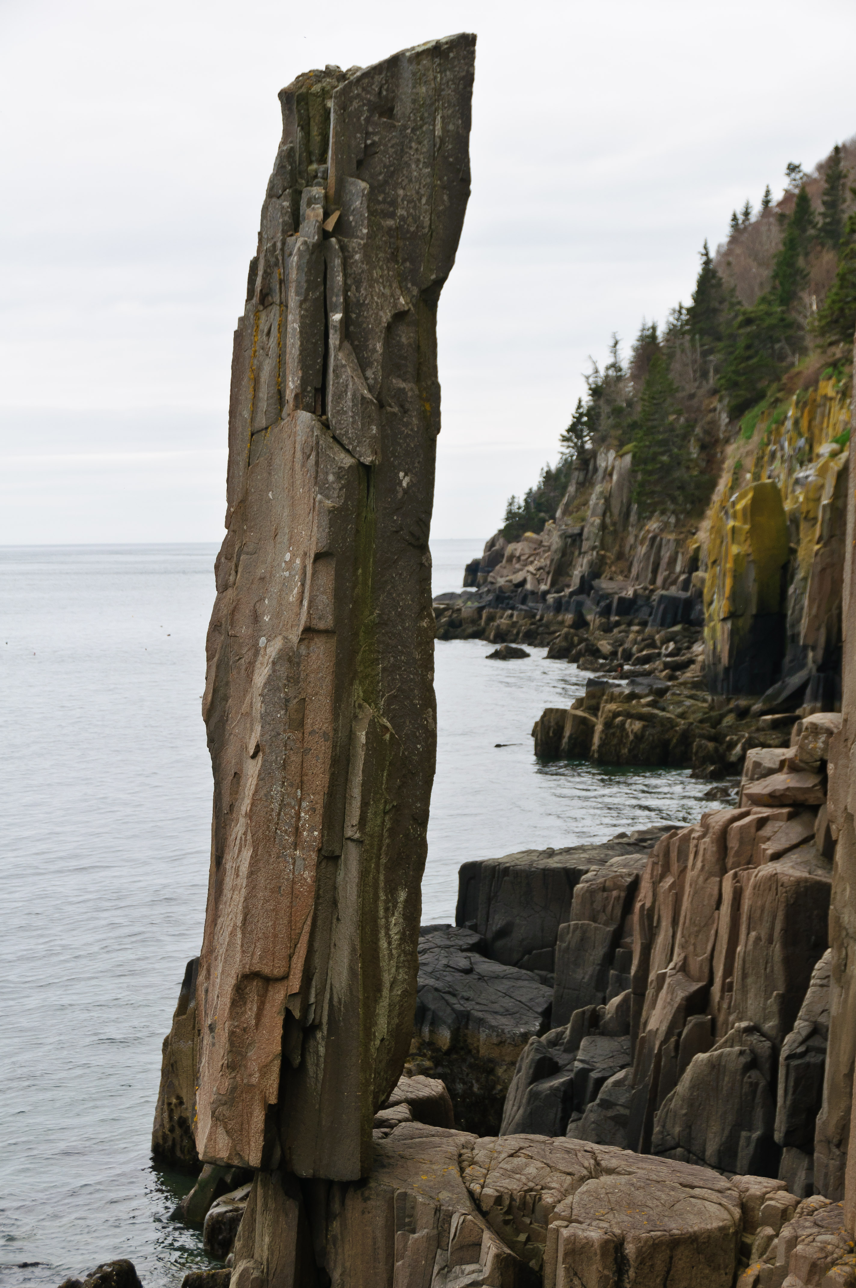
The Balancing Rock

Tipping Rock
Belliveau Cove, Nova Scotia

Long Island

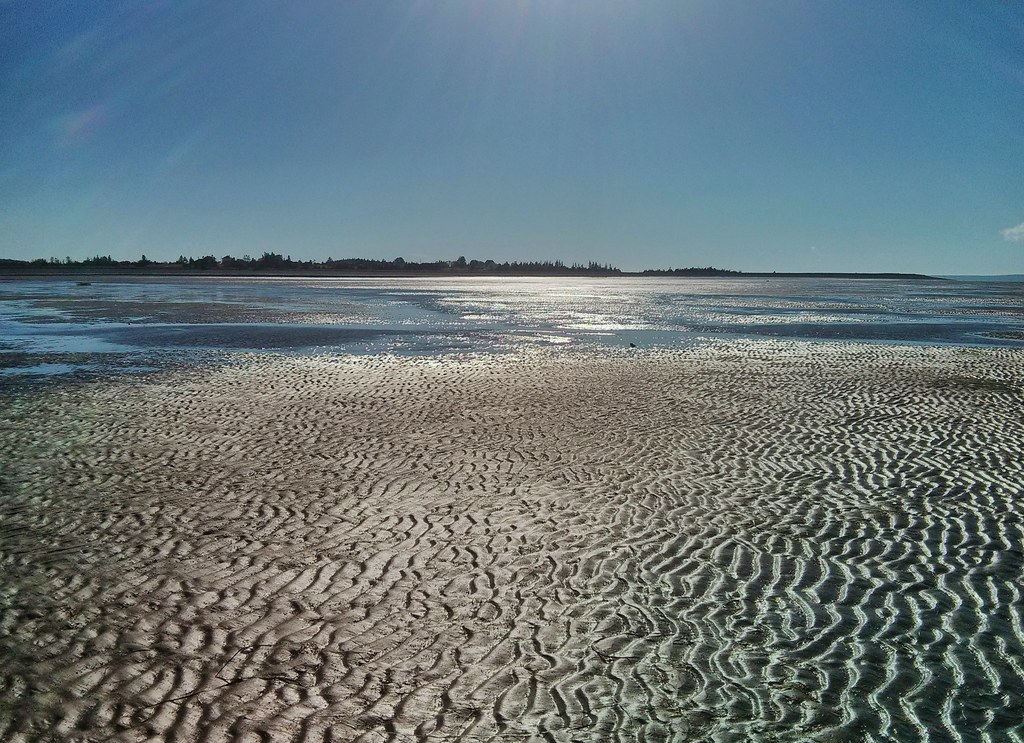
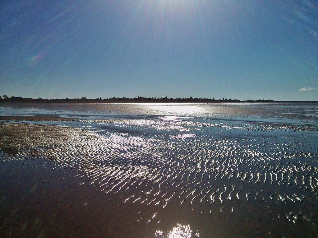
Acadia trip

Double-crested Cormorant

Acadia trip
20080813-DSC_5334
NSdaytripAug2008 271

Acadia trip

Digby-NS-2005Aug14-09

Acadia trip

DSC_1610.jpg
_DSC9028.jpg
DSC_1657.jpg
Topographic Map of Patrice Rd, Church Point, NS B0W 1M0, Canada
Find elevation by address:

Places near Patrice Rd, Church Point, NS B0W 1M0, Canada:
B0w 2z0
Belliveaus Cove
Innovative Fishery Products
Evangeline Trail, Belliveaus Cove, NS B0W 1J0, Canada
Clare
Weymouth
Victoria Avenue
34 Victoria Ave
New Edinburgh Road
New Tusket
Sissiboo Rd, Weymouth, NS B0W 3T0, Canada
Weymouth Mills
807 Langford Rd
Langford Rd, Weymouth, NS B0W 3T0, Canada
Rabbit Road
Weymouth Falls Road
6635 Ns-217
6635 Ns-217
B0w 3t0
Norwood Rd, Salmon River, NS B0W 2Y0, Canada
Recent Searches:
- Elevation of Congressional Dr, Stevensville, MD, USA
- Elevation of Bellview Rd, McLean, VA, USA
- Elevation of Stage Island Rd, Chatham, MA, USA
- Elevation of Shibuya Scramble Crossing, 21 Udagawacho, Shibuya City, Tokyo -, Japan
- Elevation of Jadagoniai, Kaunas District Municipality, Lithuania
- Elevation of Pagonija rock, Kranto 7-oji g. 8"N, Kaunas, Lithuania
- Elevation of Co Rd 87, Jamestown, CO, USA
- Elevation of Tenjo, Cundinamarca, Colombia
- Elevation of Côte-des-Neiges, Montreal, QC H4A 3J6, Canada
- Elevation of Bobcat Dr, Helena, MT, USA