Elevation map of Pastoral Unincorporated Area, SA, Australia
Location: Australia > South Australia >
Longitude: 138.719142
Latitude: -28.558929
Elevation: 11m / 36feet
Barometric Pressure: 101KPa
Elevation Map:
Satellite Map:
Related Photos:
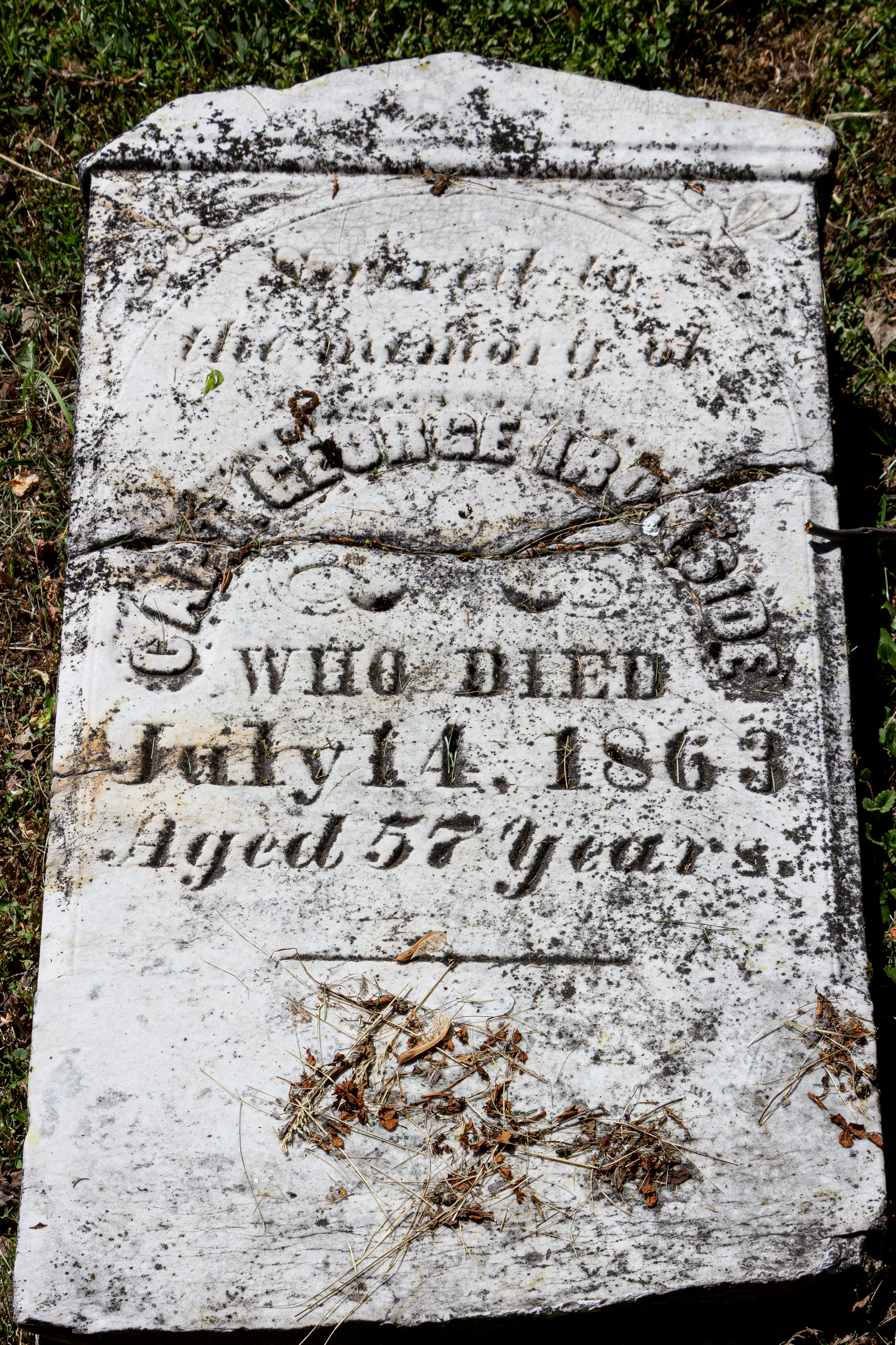
George Ironside Grave, Old Town Cemetery, Sault Ste. Marie, Ontario, Canada
Topographic Map of Pastoral Unincorporated Area, SA, Australia
Find elevation by address:

Places in Pastoral Unincorporated Area, SA, Australia:
Recent Searches:
- Elevation of Lampiasi St, Sarasota, FL, USA
- Elevation of Elwyn Dr, Roanoke Rapids, NC, USA
- Elevation of Congressional Dr, Stevensville, MD, USA
- Elevation of Bellview Rd, McLean, VA, USA
- Elevation of Stage Island Rd, Chatham, MA, USA
- Elevation of Shibuya Scramble Crossing, 21 Udagawacho, Shibuya City, Tokyo -, Japan
- Elevation of Jadagoniai, Kaunas District Municipality, Lithuania
- Elevation of Pagonija rock, Kranto 7-oji g. 8"N, Kaunas, Lithuania
- Elevation of Co Rd 87, Jamestown, CO, USA
- Elevation of Tenjo, Cundinamarca, Colombia