Elevation of Paso del Sapo, Chubut Province, Argentina
Location: Argentina > Chubut Province >
Longitude: -69.608303
Latitude: -42.735080
Elevation: 393m / 1289feet
Barometric Pressure: 97KPa
Elevation Map:
Satellite Map:
Related Photos:
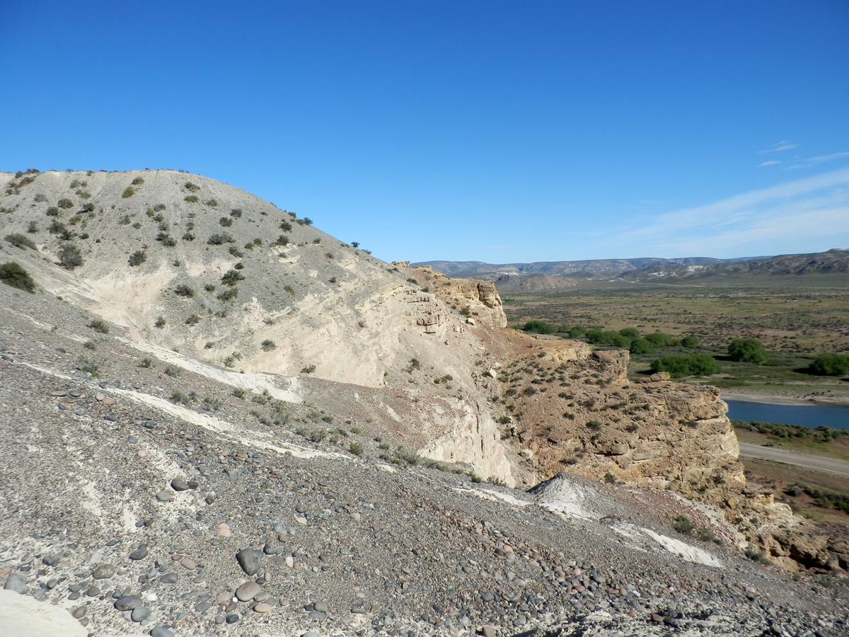
Formaciones Paso del Sapo (Cretácico superior) y Collon Cura (Mioceno)
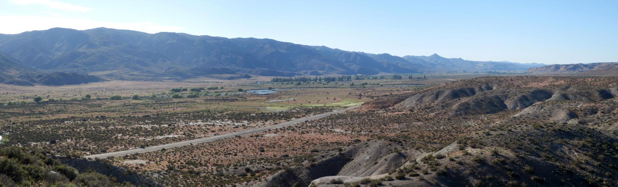
Valle del río Chubut al oeste de Paso del Sapo
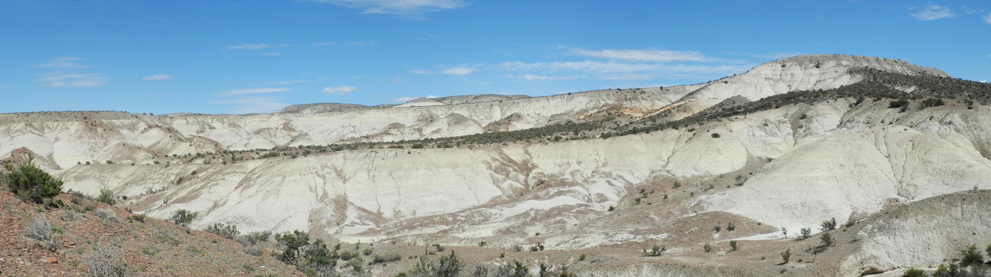
Valle de mamíferos miocenos
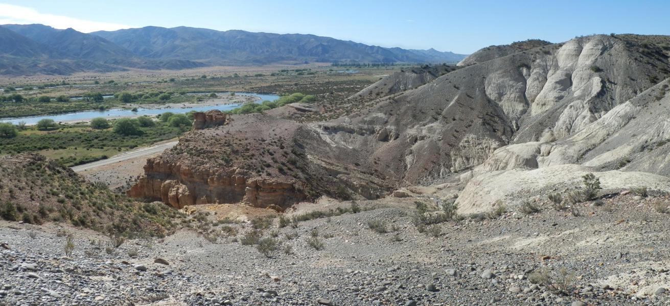
Alturas sobre el río Chubut
Topographic Map of Paso del Sapo, Chubut Province, Argentina
Find elevation by address:

Recent Searches:
- Elevation of Elwyn Dr, Roanoke Rapids, NC, USA
- Elevation of Congressional Dr, Stevensville, MD, USA
- Elevation of Bellview Rd, McLean, VA, USA
- Elevation of Stage Island Rd, Chatham, MA, USA
- Elevation of Shibuya Scramble Crossing, 21 Udagawacho, Shibuya City, Tokyo -, Japan
- Elevation of Jadagoniai, Kaunas District Municipality, Lithuania
- Elevation of Pagonija rock, Kranto 7-oji g. 8"N, Kaunas, Lithuania
- Elevation of Co Rd 87, Jamestown, CO, USA
- Elevation of Tenjo, Cundinamarca, Colombia
- Elevation of Côte-des-Neiges, Montreal, QC H4A 3J6, Canada