Elevation of Pasir Putih, Bungatan, Situbondo Regency, East Java, Indonesia
Location: Indonesia > East Java > Situbondo Regency >
Longitude: 113.846575
Latitude: -7.698725
Elevation: 307m / 1007feet
Barometric Pressure: 98KPa
Elevation Map:
Satellite Map:
Related Photos:

Bromo view

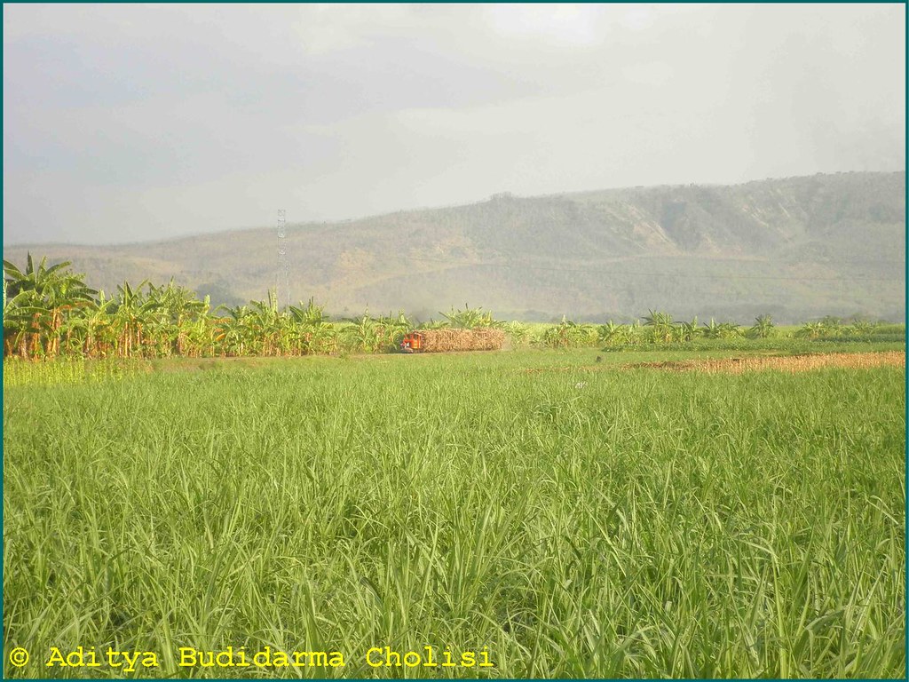
Sf. Wringin Anom's Sugar Train (1)
The Beautiful Situbondo!!
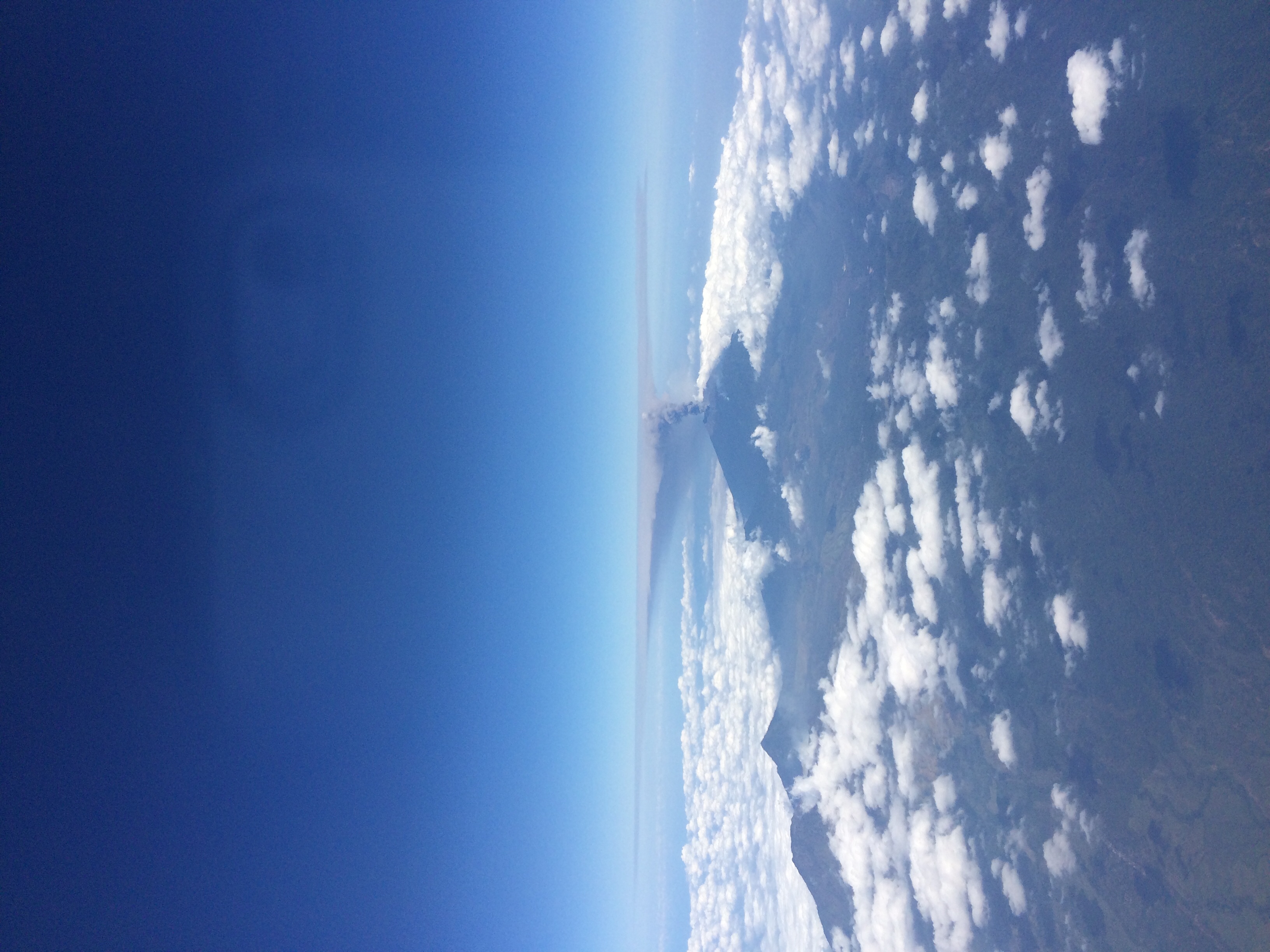
View from plane of volcano in eruption. Bali Indonesia

Going Home

Sunset #3
East Java

Taking The Canes Back Into Sf. Wringin Anom
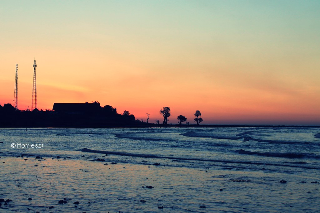
Sunset #2

tampora beach
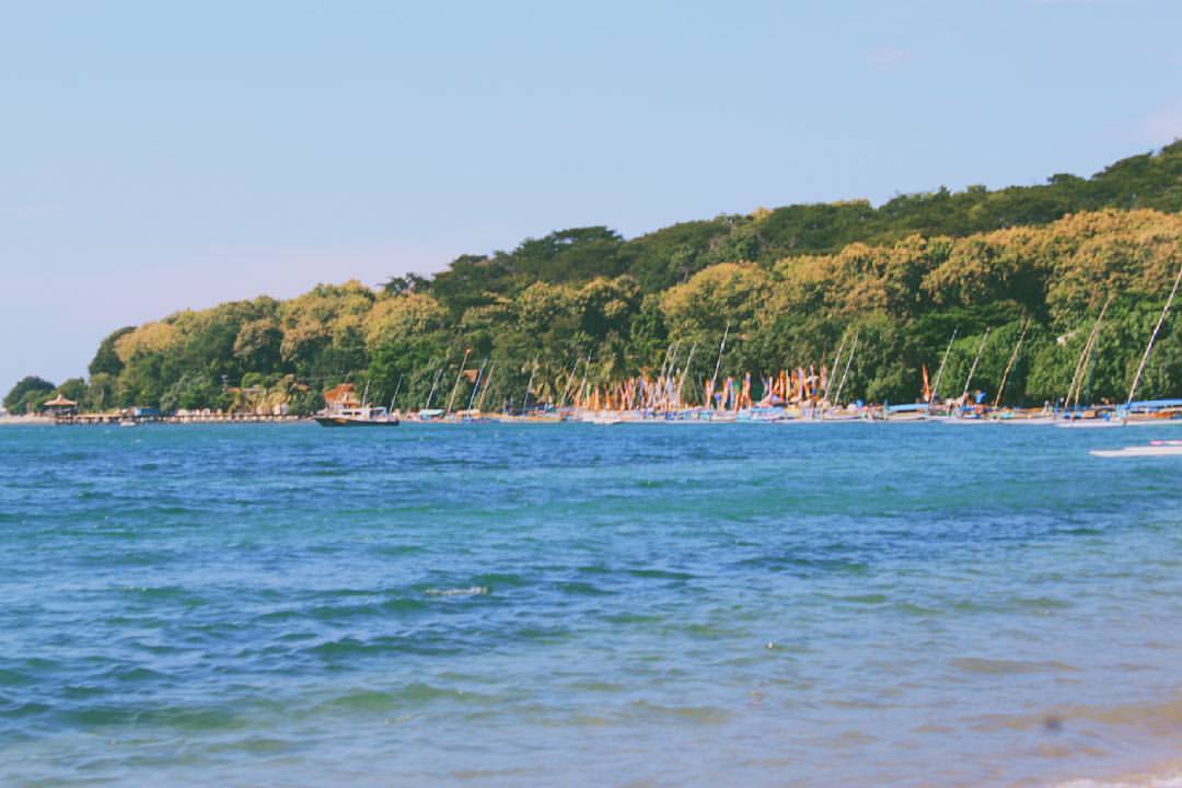
⛵
Topographic Map of Pasir Putih, Bungatan, Situbondo Regency, East Java, Indonesia
Find elevation by address:

Places near Pasir Putih, Bungatan, Situbondo Regency, East Java, Indonesia:
Bondowoso
Bondowoso Regency
Gunung Argapura
Probolinggo
Kalianan
Krucil
Masjid Jami' Jember
Klaseman
Jember Regency
Gending
Probolinggo
Probolinggo City
Pamekasan
Lumajang Regency
Sukapura
Senduro
Puncak B29
Pura Luhur Poten Bromo
Ngadisari
Sariwani
Recent Searches:
- Elevation of Groblershoop, South Africa
- Elevation of Power Generation Enterprises | Industrial Diesel Generators, Oak Ave, Canyon Country, CA, USA
- Elevation of Chesaw Rd, Oroville, WA, USA
- Elevation of N, Mt Pleasant, UT, USA
- Elevation of 6 Rue Jules Ferry, Beausoleil, France
- Elevation of Sattva Horizon, 4JC6+G9P, Vinayak Nagar, Kattigenahalli, Bengaluru, Karnataka, India
- Elevation of Great Brook Sports, Gold Star Hwy, Groton, CT, USA
- Elevation of 10 Mountain Laurels Dr, Nashua, NH, USA
- Elevation of 16 Gilboa Ln, Nashua, NH, USA
- Elevation of Laurel Rd, Townsend, TN, USA