Elevation of Paseo Salamoner, Rancho San Diego, CA, USA
Location: United States > California > San Diego County > La Mesa >
Longitude: -116.95452
Latitude: 32.746669
Elevation: 174m / 571feet
Barometric Pressure: 99KPa
Elevation Map:
Satellite Map:
Related Photos:

Trail or Traffic

Santee Lakes on the Winter Solstice With Sun Flare - Infrared

4540 E Talmadge Drive, San Diego 92116 - Kensington Home for Sale - Glen Henderson

Delicate Dance (Egretta Thula), Snowy Egret
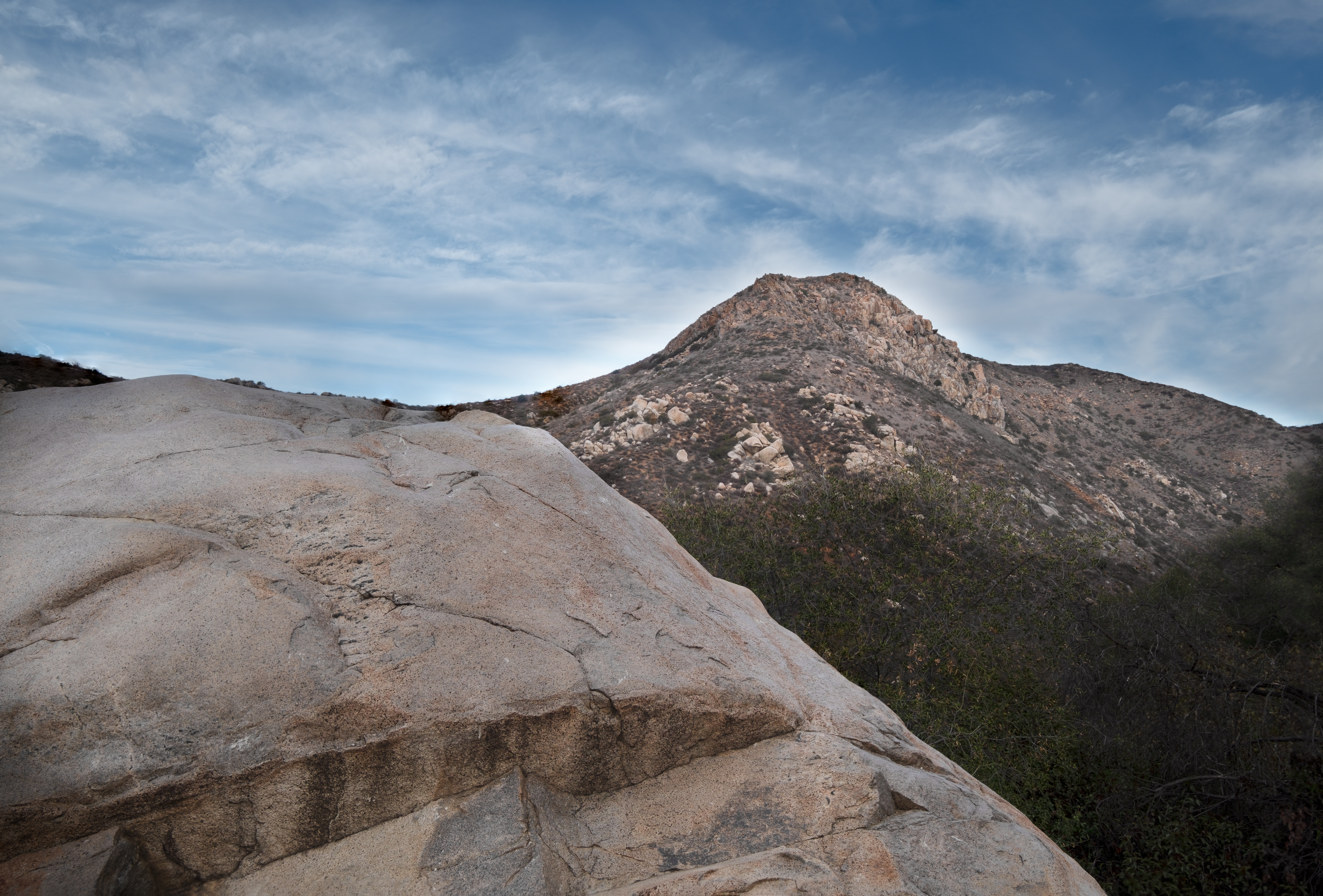
Rocks atop a mountain at night.
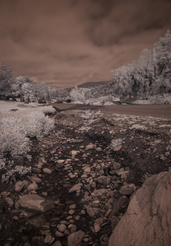
Oak Creek Running Across Oak Creek Drive IR
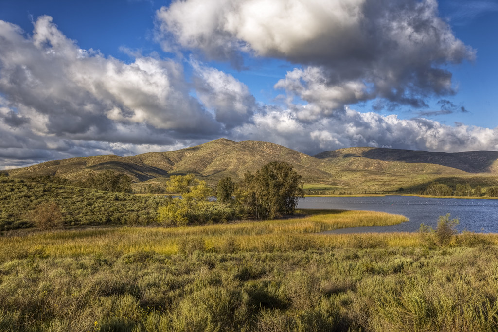
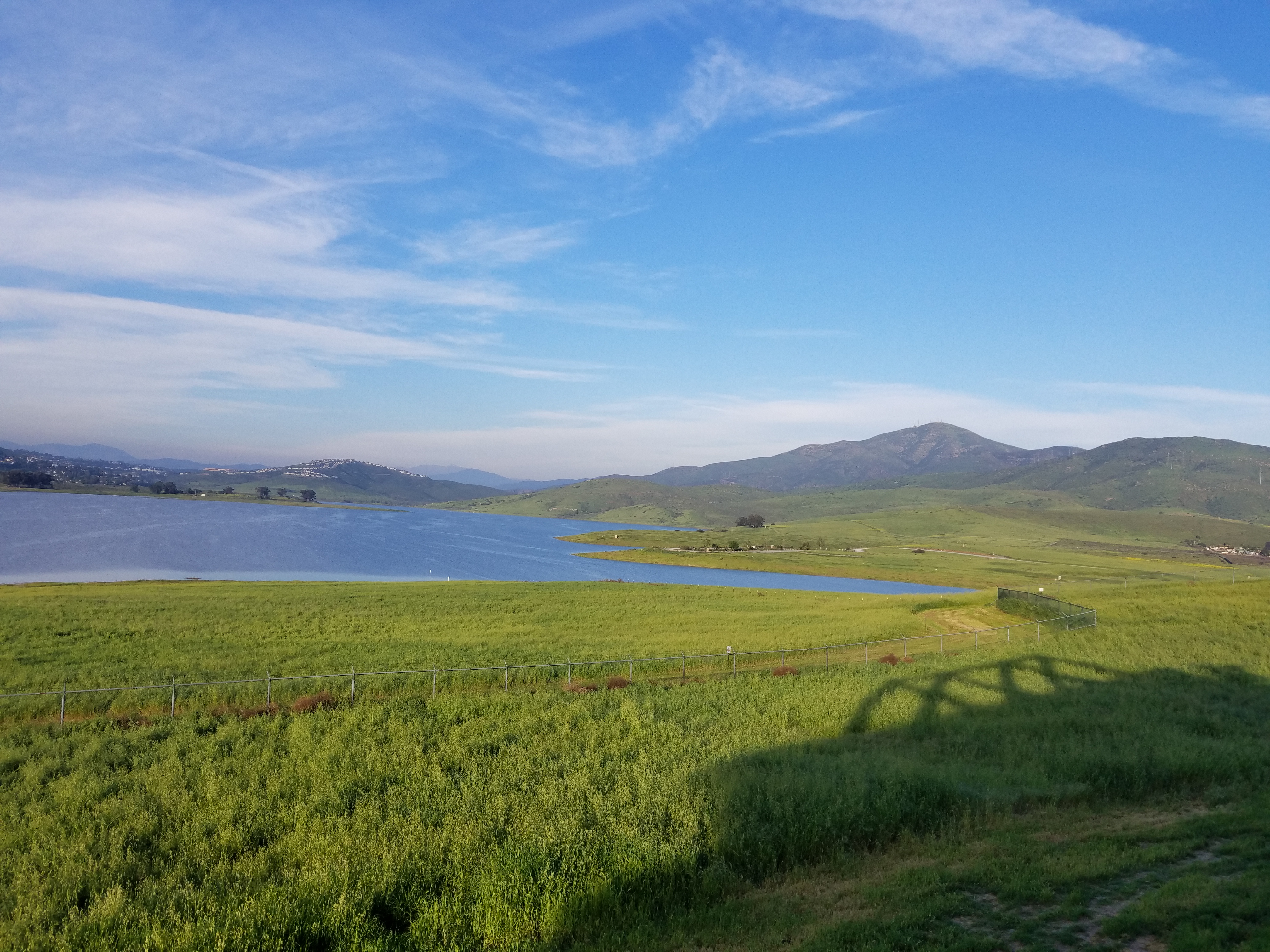
Lower Otay Reservoir
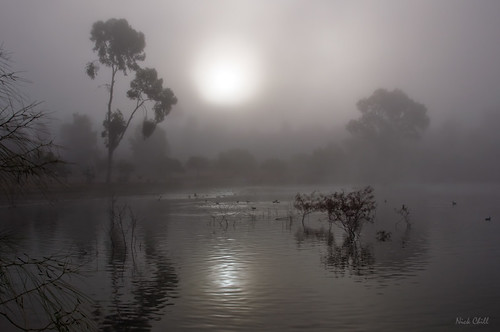
Morning Fog
Fiona Flamingo

Mt. Helix

4540 E Talmadge Drive, San Diego 92116 - Kensington Home for Sale - Glen Henderson

Cowles Sunrise
Another panoramic view from atop Blue Rock in Santee
Mulberry Leaf Patterns
Panoramic view of Santee at sunset.
Peeking through an opening between two big rocks.

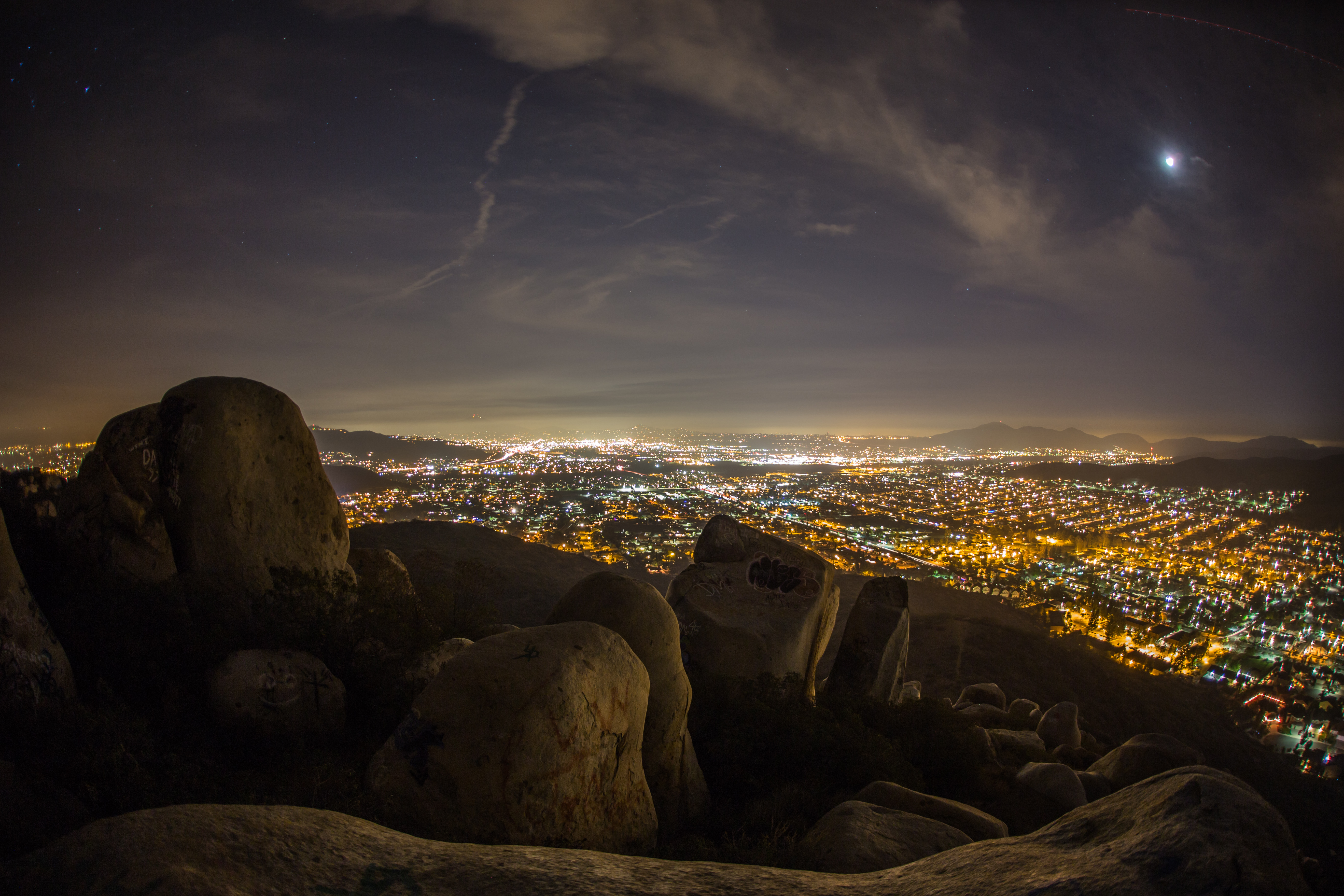
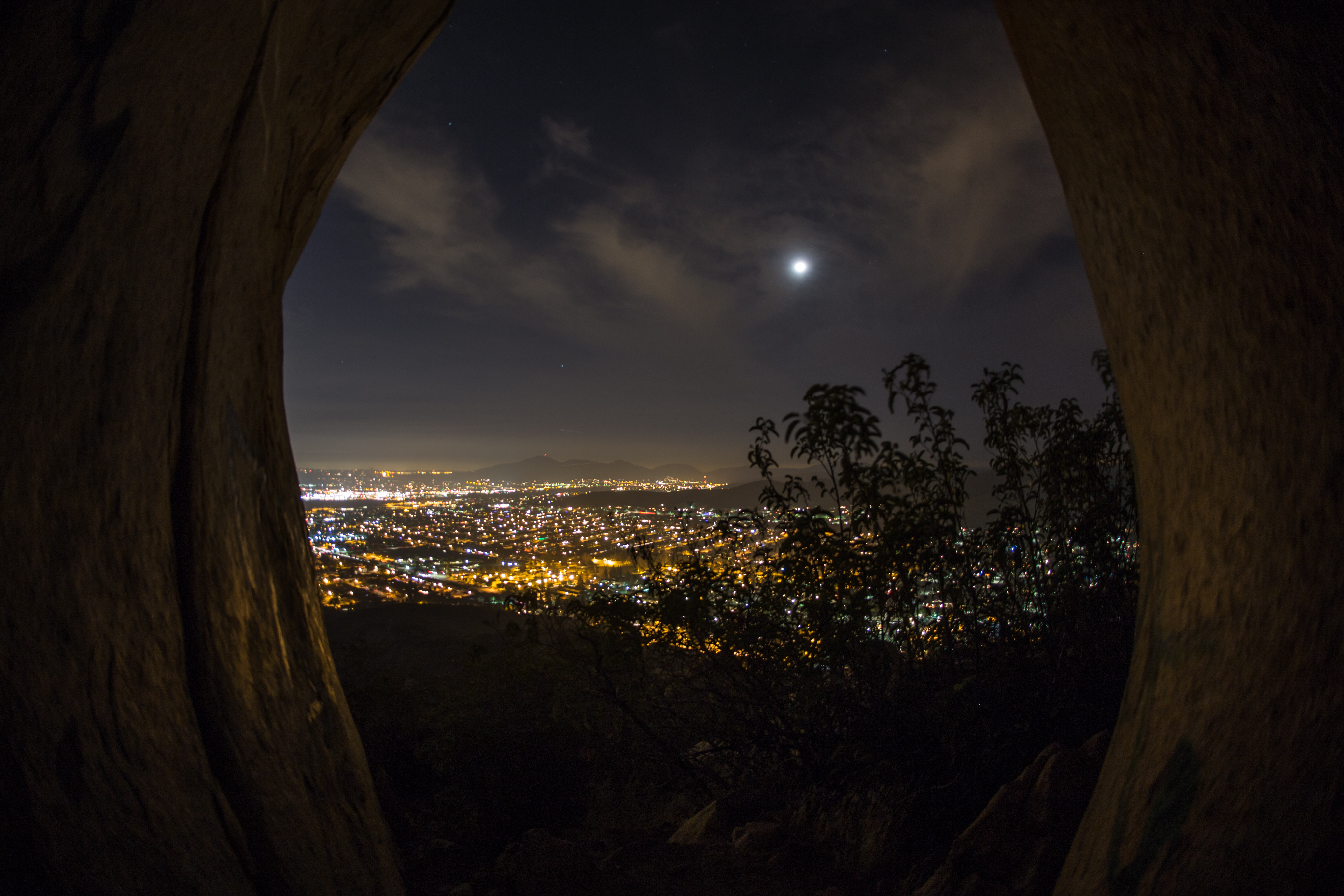
Nighttime view of suburban San Diego County from the top of Blue Rock / Magnolia Boulders mountain in Santee, CA

Family Time
California Dreamin'
Clouds Above Otay Lakes, and My Tripod

Fiery Red

Otay Sweetwater Refuge
Mission Trails Park

Tree Reflections At Santee Lakes
Love you baby
PEDB20181204-032-Edit
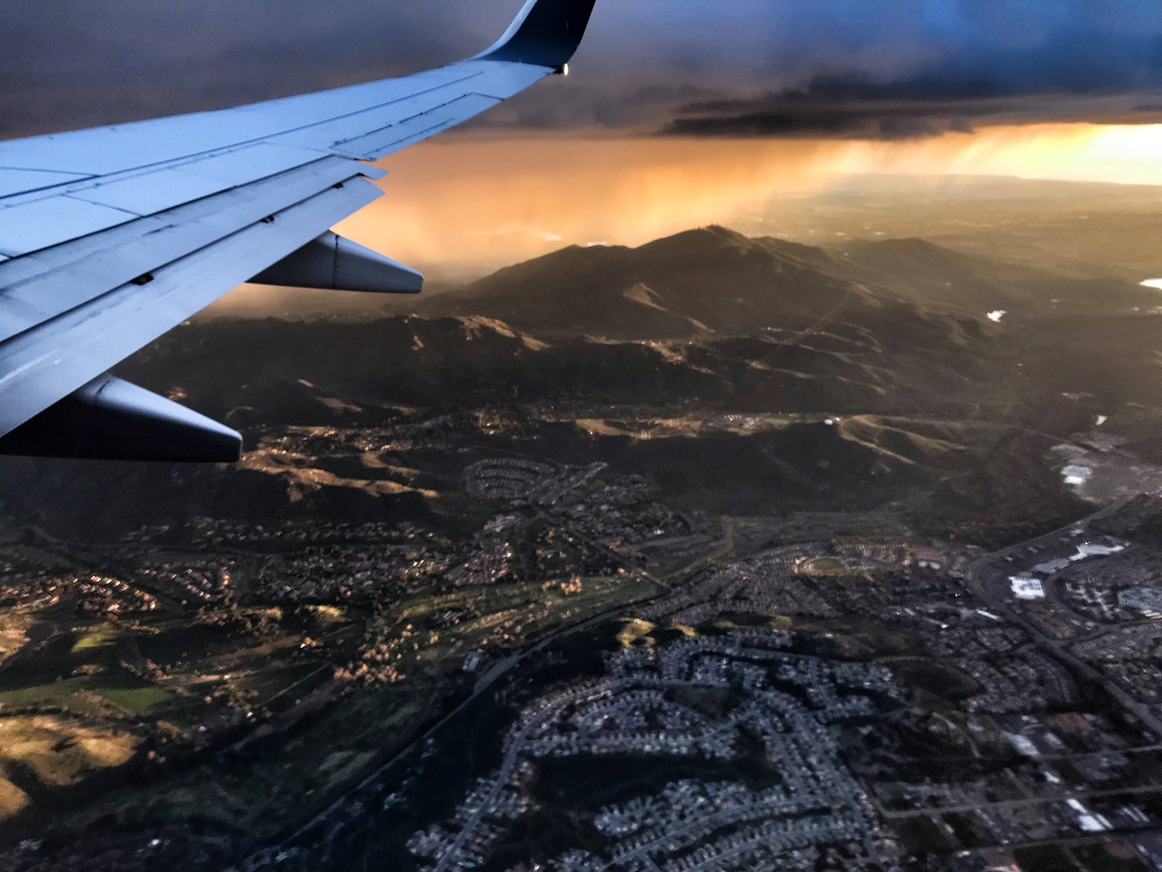
Over San Diego
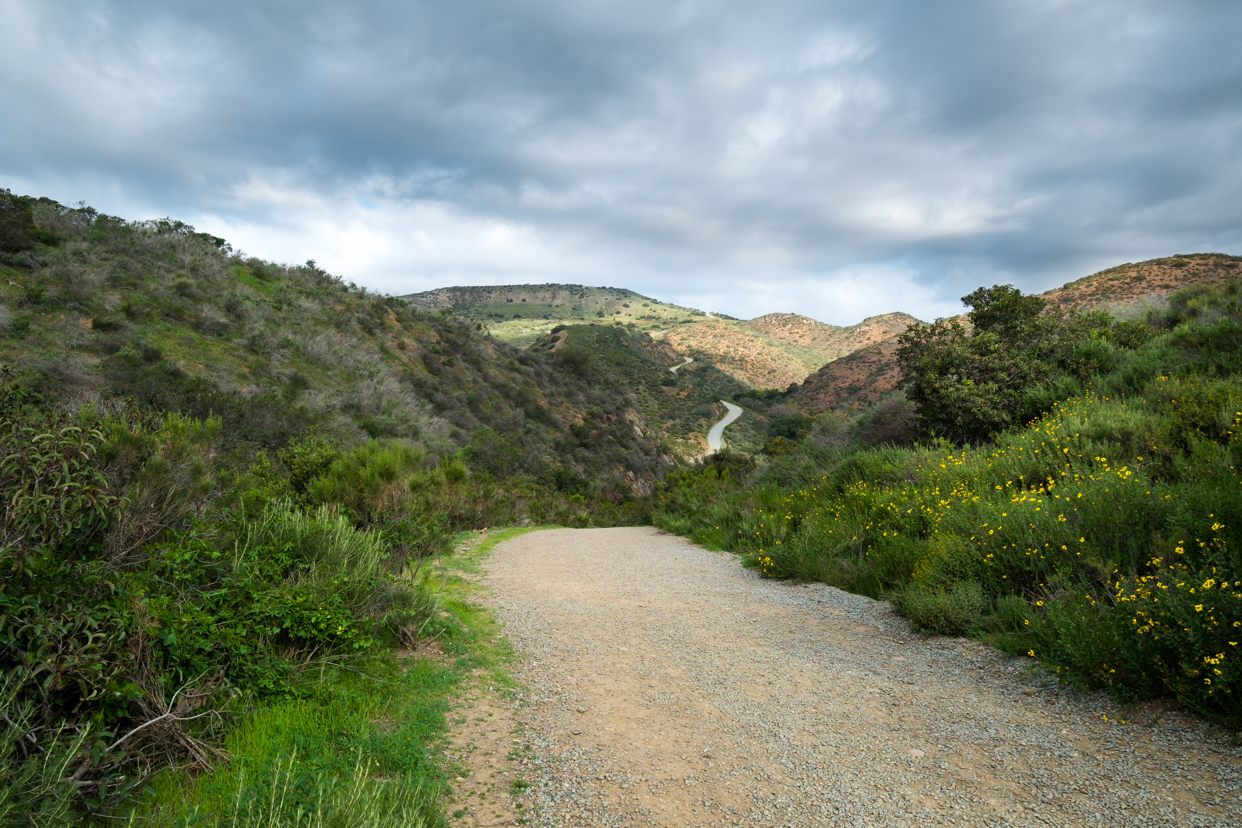
Visitor Center Loop Trail - Mission Trails Park
PEDB20090217-023-Edit.jpg
Visitor Center Loop Trail - Mission Trails Park
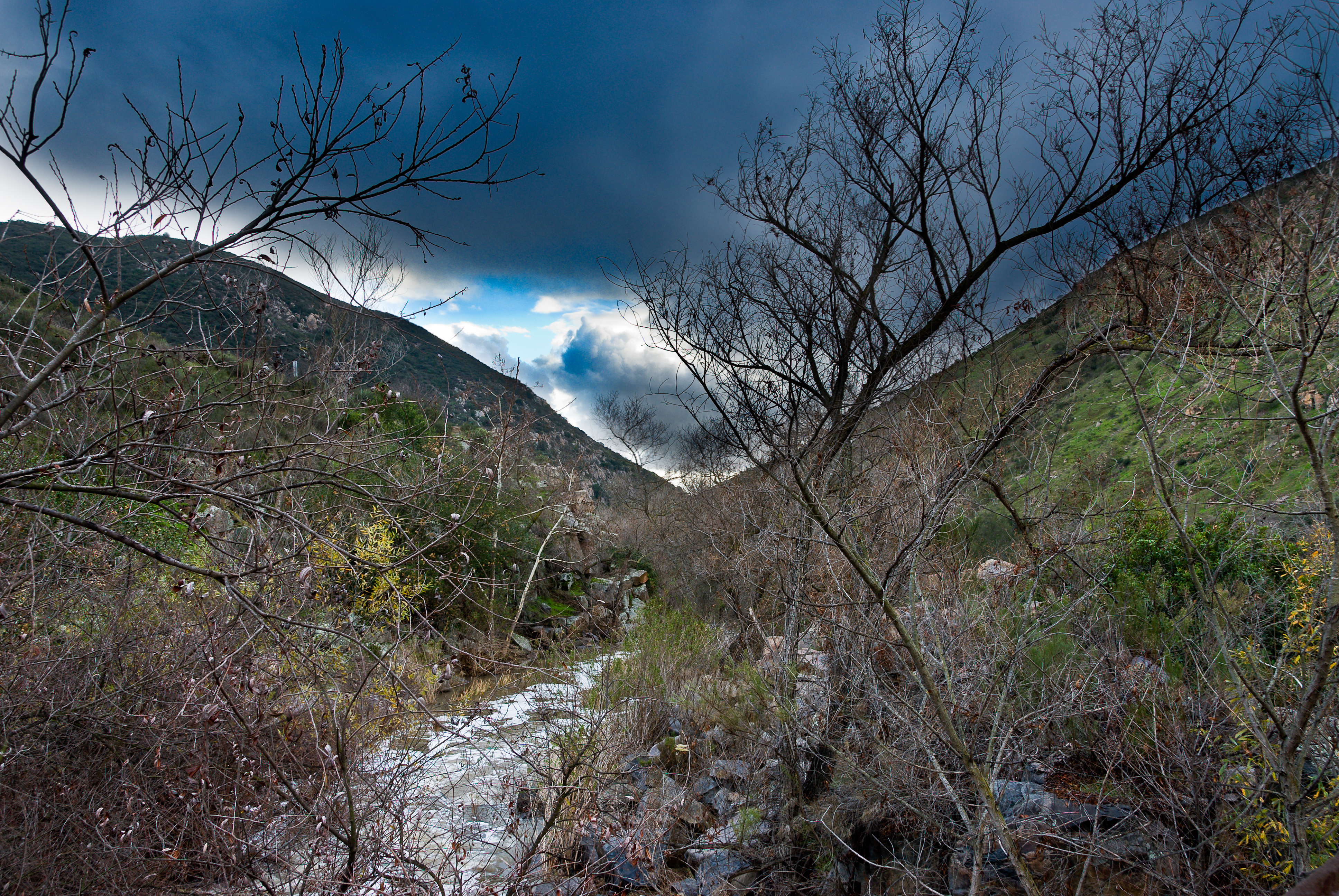
Water along Oak Canyon.
A d o b e F a l l s
Oak Canyon Trail - Mission Trails Park
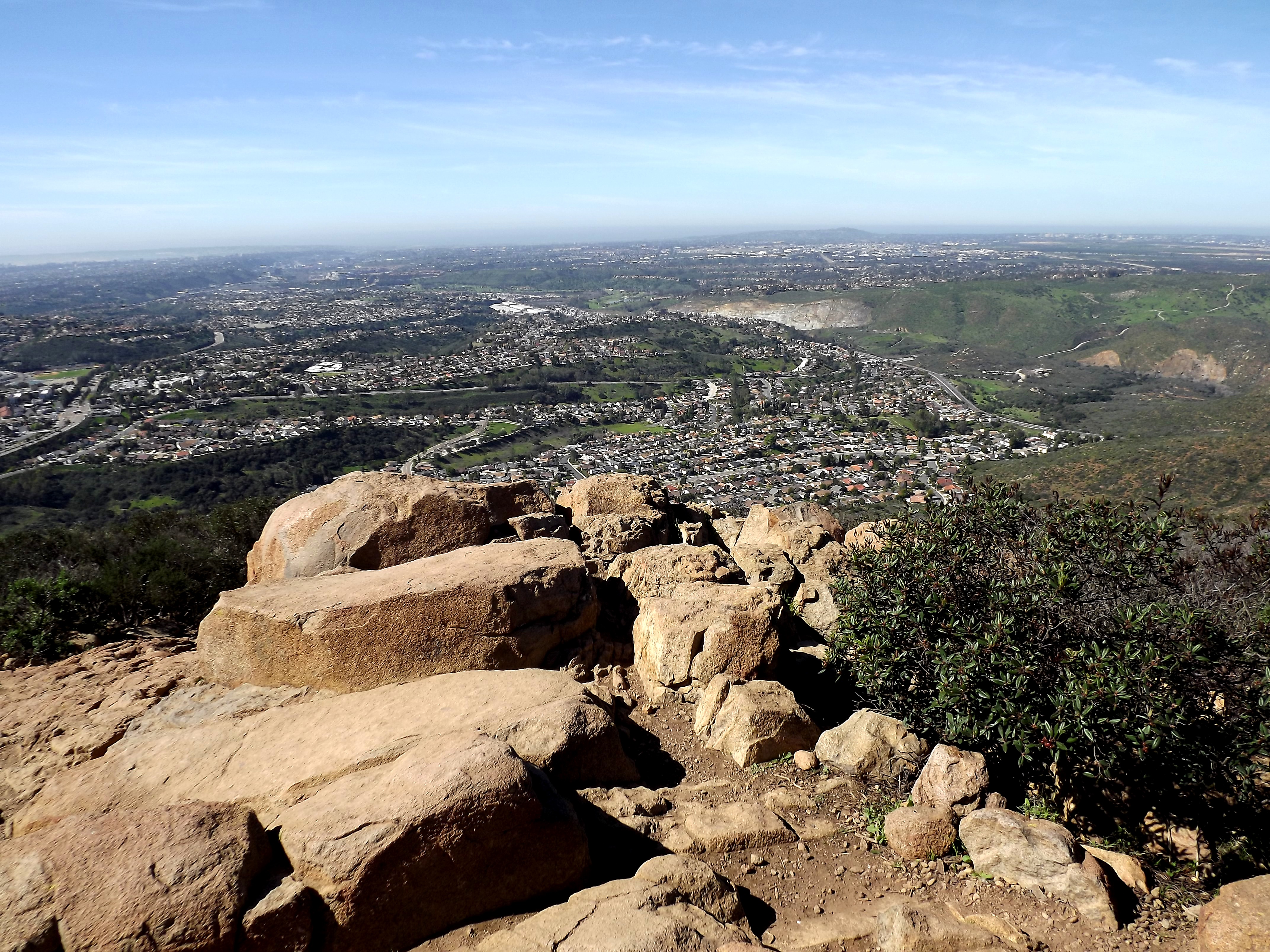
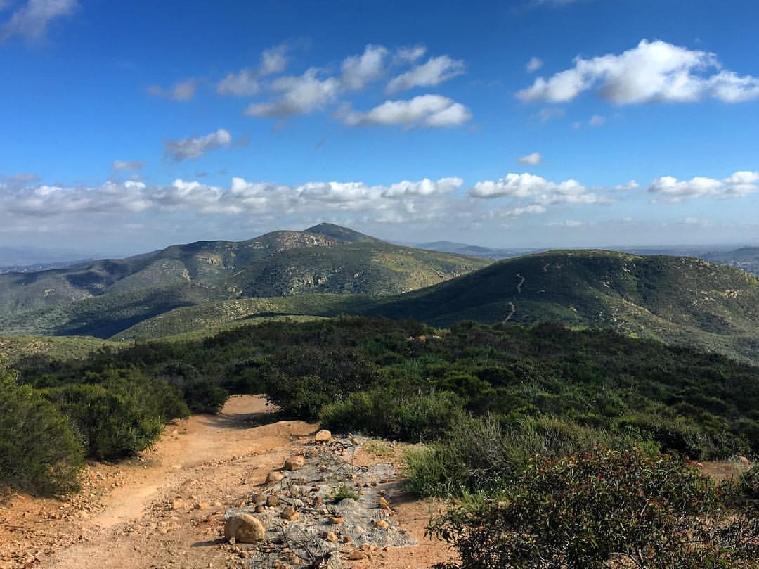
looking sw from summit
Over San Diego
PEDB20071102-013-Edit-Edit.jpg
There are more mountains in our future.

PEDB20090217-010-Edit.jpg

PEDB20130402-057.jpg
Kumeyaay Lake in Mission Trails
Oak Canyon Trail - Mission Trails Park
PEDB20130514-004.jpg
Topographic Map of Paseo Salamoner, Rancho San Diego, CA, USA
Find elevation by address:

Places near Paseo Salamoner, Rancho San Diego, CA, USA:
Cuyamaca College
CA-94, Spring Valley, CA, USA
Puebla Dr, La Mesa, CA, USA
11621 Vernette Ct
Rancho San Diego
12113 Via Antigua
4633 Alta Rica Dr
10950 Horizon Hills Dr
San Juan St, Spring Valley, CA, USA
10130 Austin Dr
Snyder Road
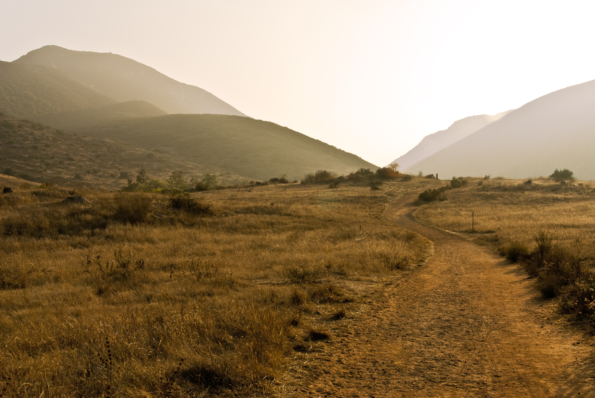
Jeep Trail
1444 Horizon Pointe
Casa De Oro-mount Helix
3034 Chapo Ct
4919 Resmar Rd
1276 Horizon Ridge
S Bonita St, Spring Valley, CA, USA
10049 Grandview Dr
10054 Grandview Dr
Recent Searches:
- Elevation of Vista Blvd, Sparks, NV, USA
- Elevation of 15th Ave SE, St. Petersburg, FL, USA
- Elevation of Beall Road, Beall Rd, Florida, USA
- Elevation of Leguwa, Nepal
- Elevation of County Rd, Enterprise, AL, USA
- Elevation of Kolchuginsky District, Vladimir Oblast, Russia
- Elevation of Shustino, Vladimir Oblast, Russia
- Elevation of Lampiasi St, Sarasota, FL, USA
- Elevation of Elwyn Dr, Roanoke Rapids, NC, USA
- Elevation of Congressional Dr, Stevensville, MD, USA