Elevation of Parsons Ln, Londonderry, VT, USA
Location: United States > Vermont > Windham County > Londonderry >
Longitude: -72.800606
Latitude: 43.207336
Elevation: 393m / 1289feet
Barometric Pressure: 97KPa
Elevation Map:
Satellite Map:
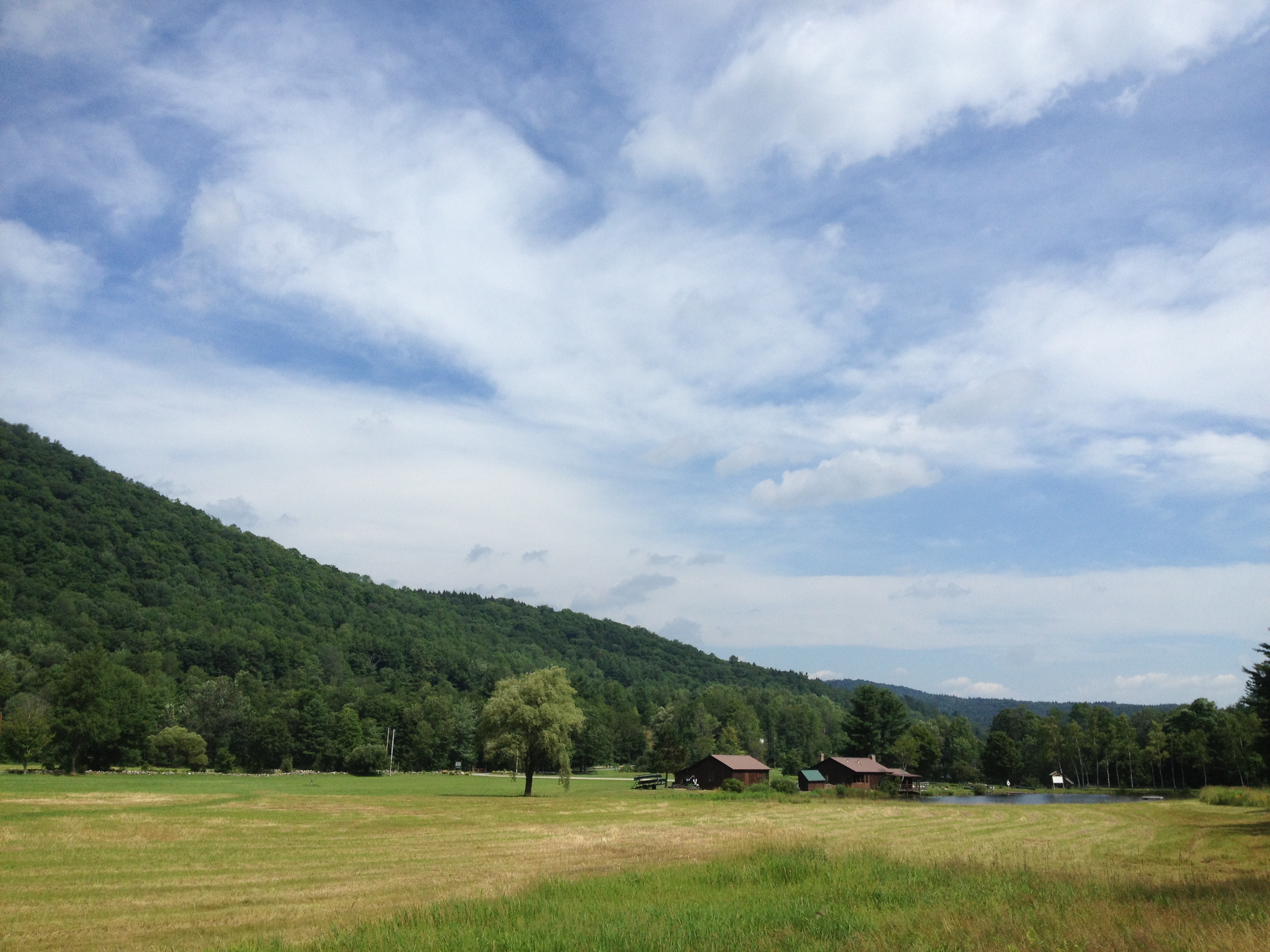
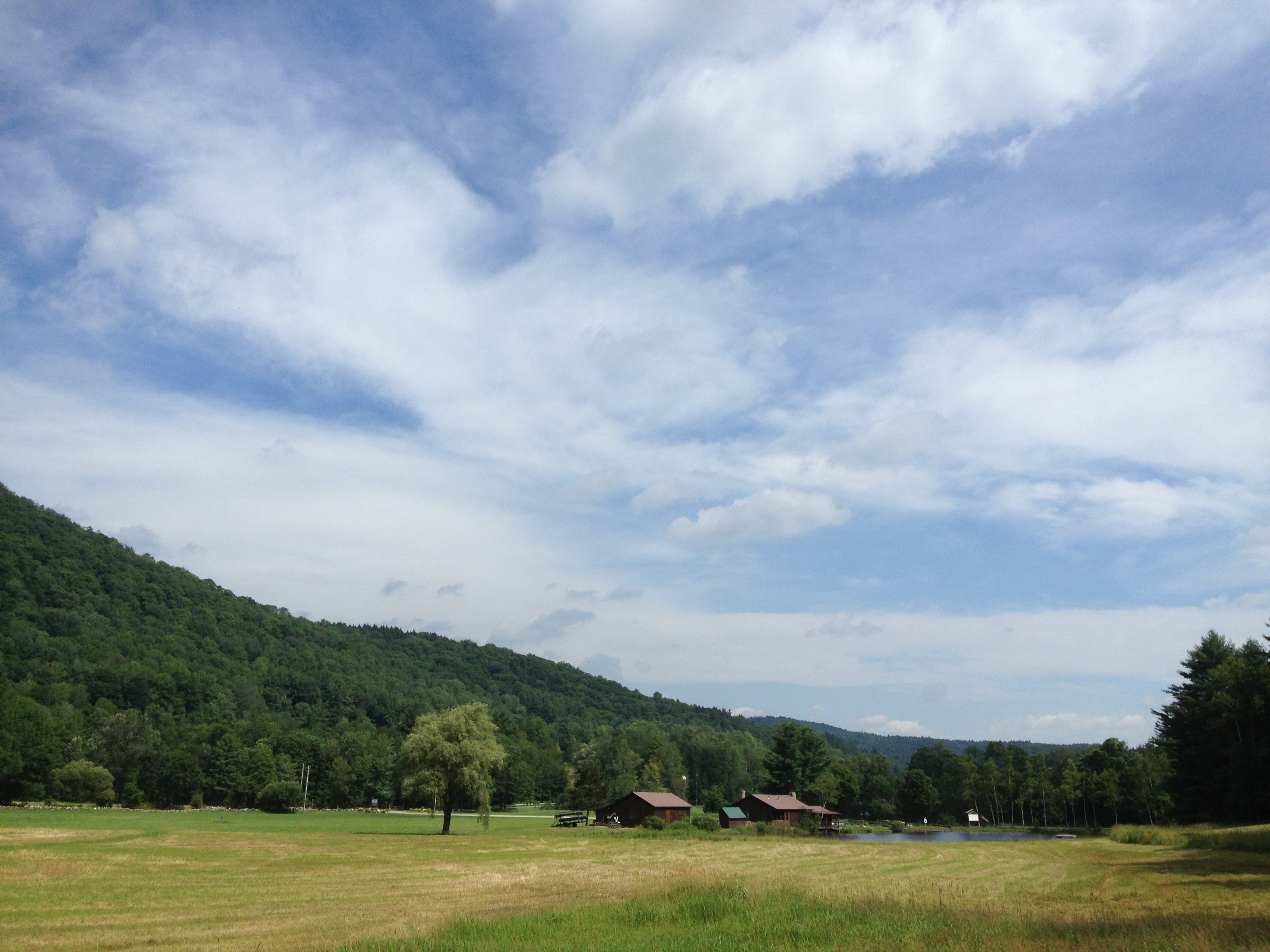
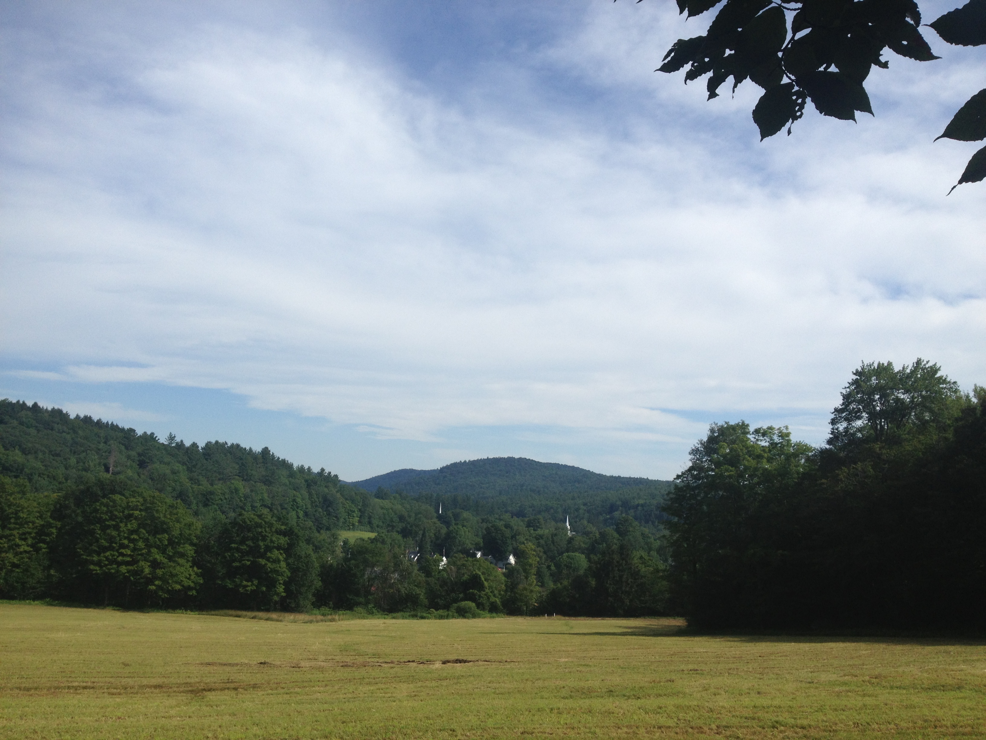
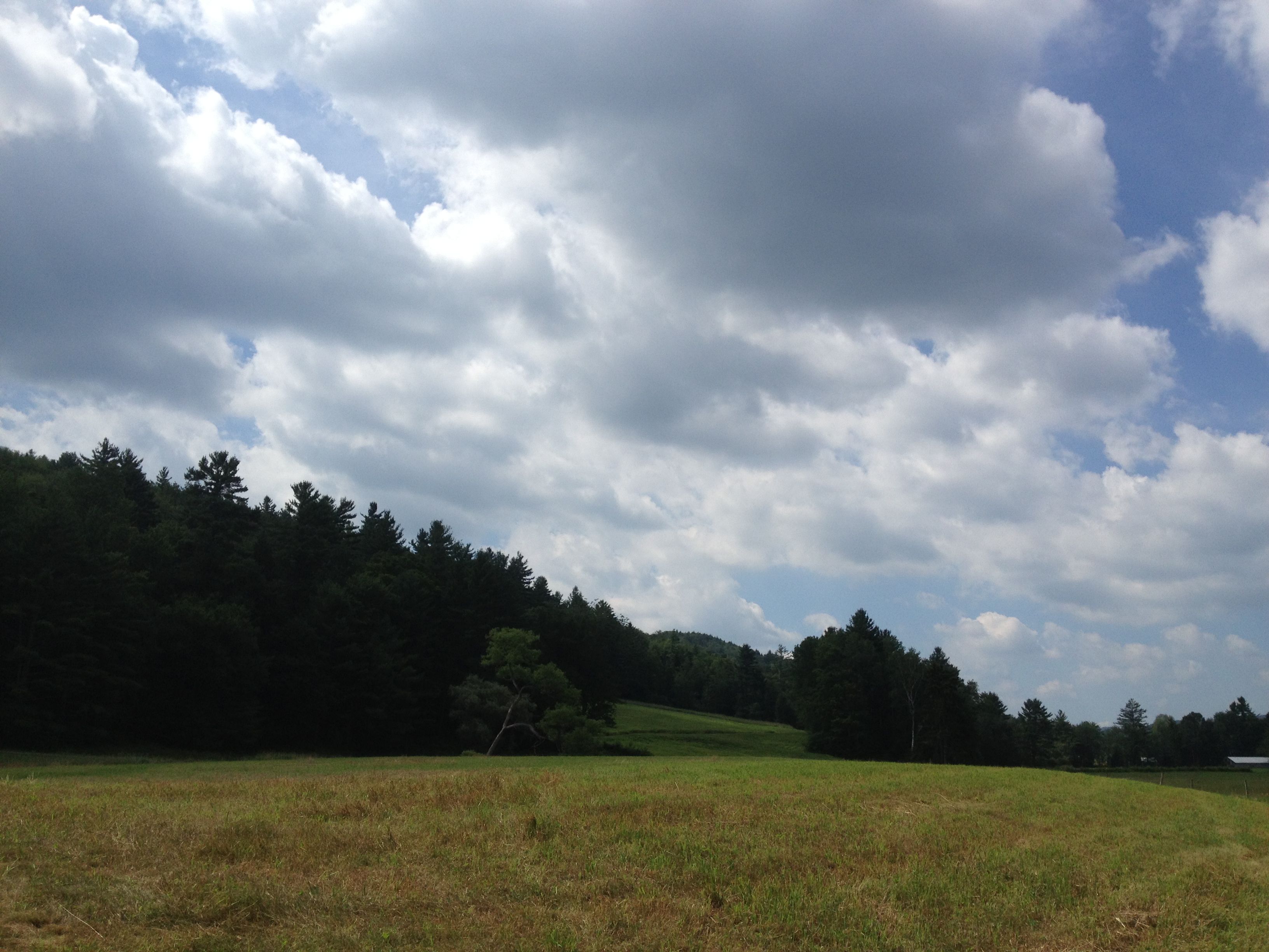
Related Photos:

MY Little Chickadee!

Weston Vermont
Hamilton Falls, Jamaica Vermont
Mountain Goat View of Hamilton Falls

How Sweet It Is!!!!

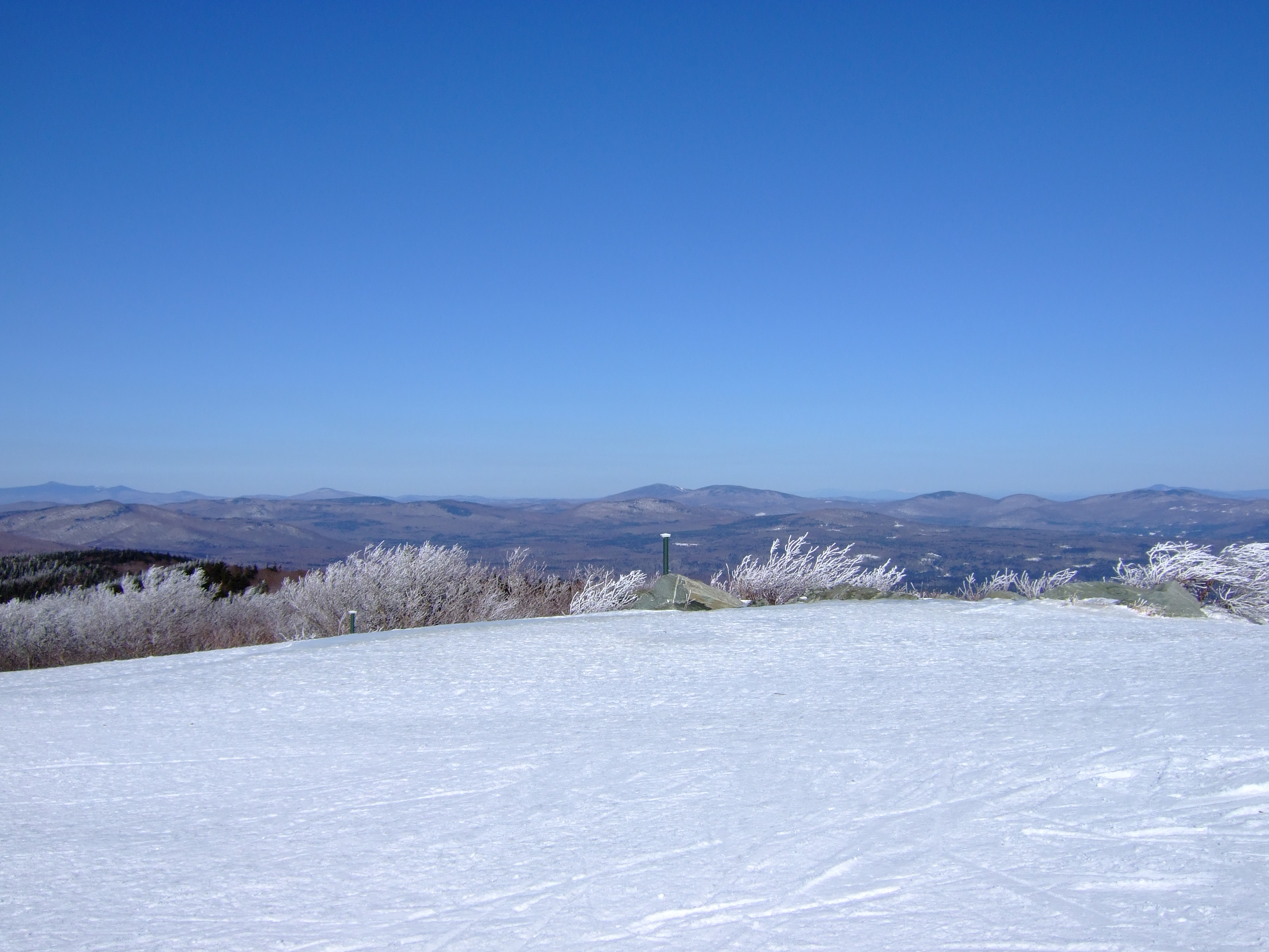
Incredible view from the summit

At Last!!! A Green Heron!!
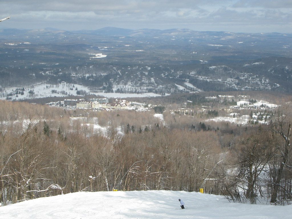
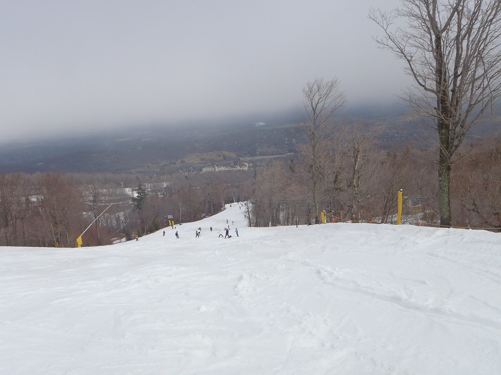
Stratton Mountain view
Ski slope skyline

Beautiful view from Stratton Mountain

Waterfall at the old mill

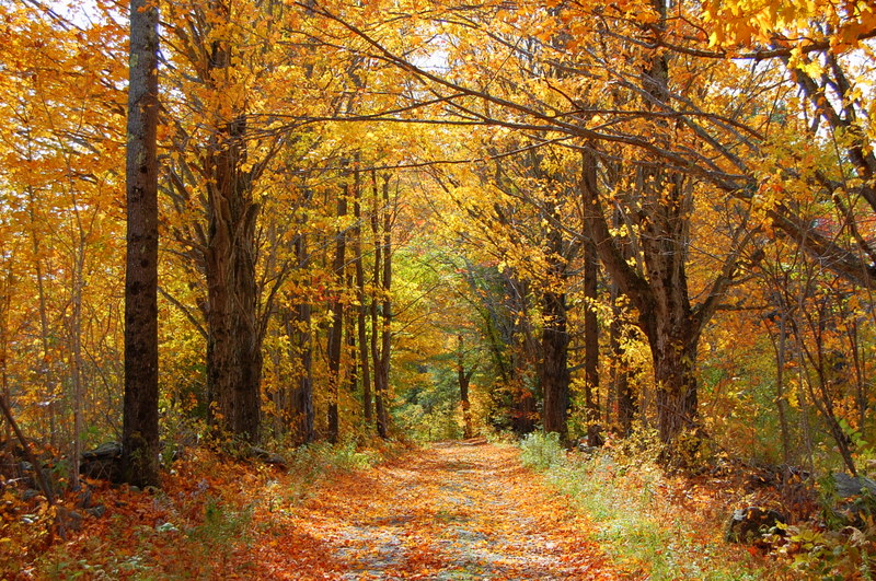
Fall View_1
Beautiful view of Bondville

Sunrise on Peru Peak

View of my campsite's ceiling.
View from Summit of Bromley Mountain, VT

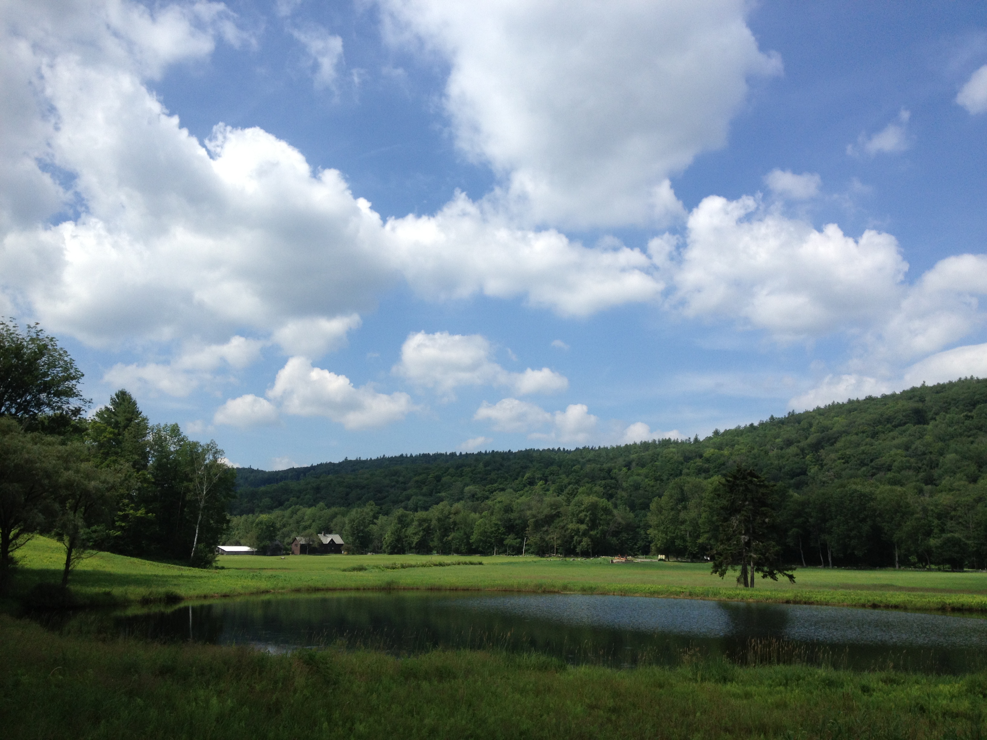
view from the living room
The Maine House Group @ Stratton Mountain Resort, VT

The view through the #beer ! @strattonresort with @cduggan9 #springskiing #grizzlys #ski #northeast #snowboarding #vscocam

Vermont View
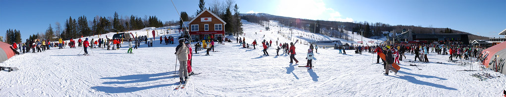
US-VT Stratton Mountain Ski Resort 2009-02-21

gold rush
Country Roads (Explored)

∞

The Dumplings

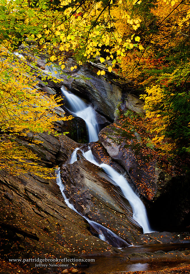
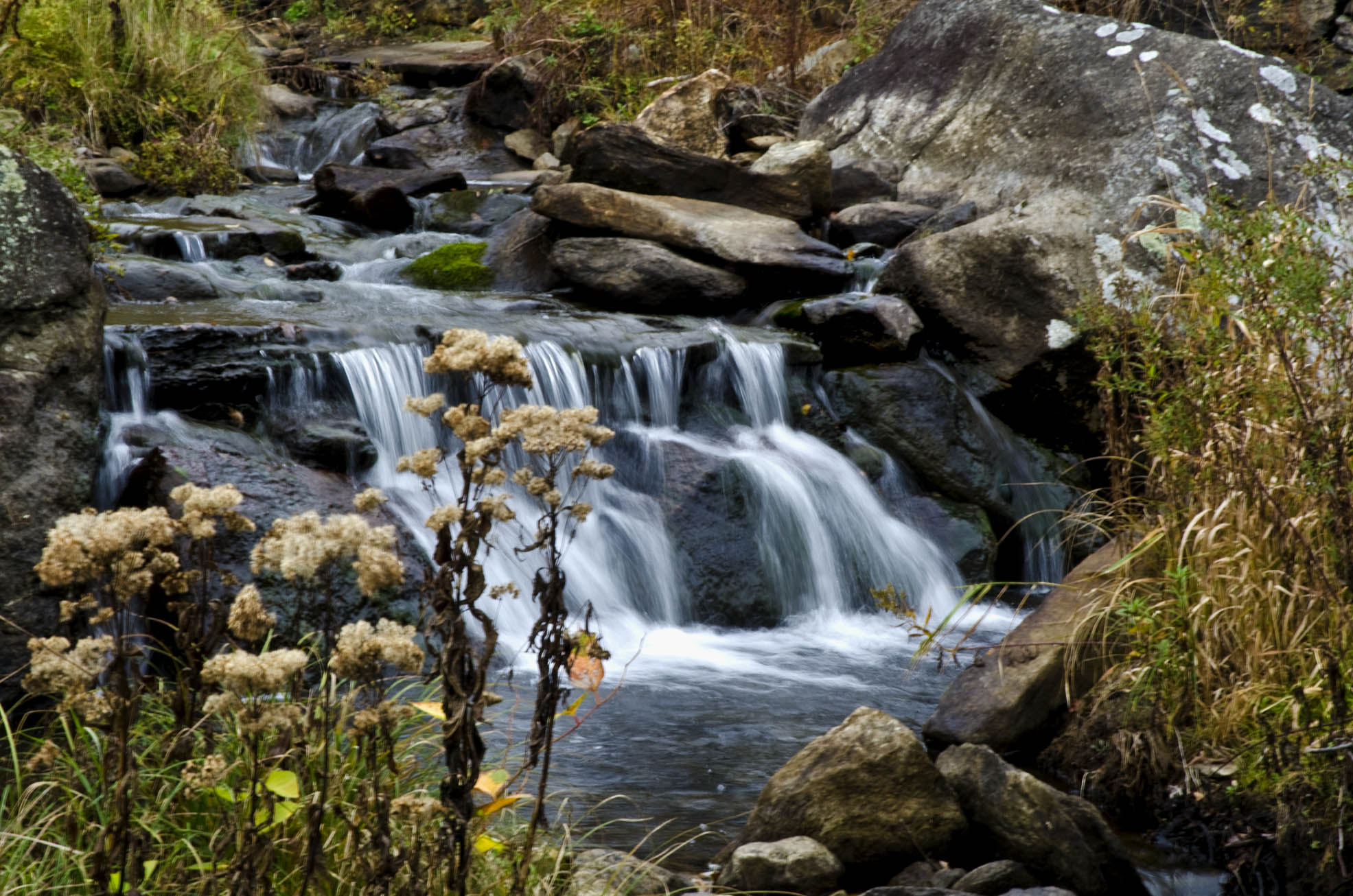
Pikes Falls - Upper - Vermont

Vermont Mosaic
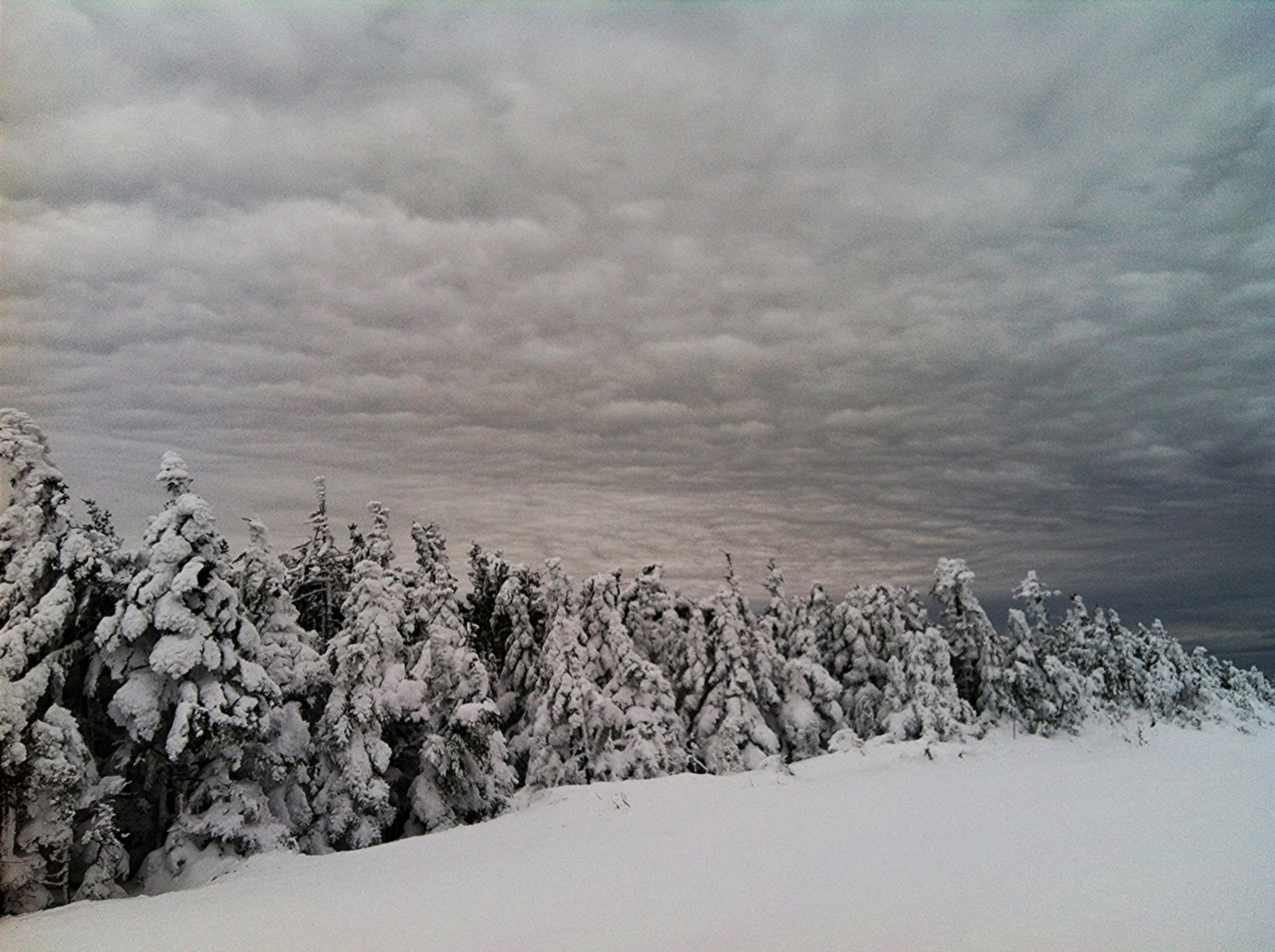
Some interesting clouds

The Gazebo
Golden Frame

The Perfect Fake! (Explored!)

Weston Vermont in the autumn
2013-07-19 10.41.18
2013-07-19 10.41.48

2013-07-19 10.41.26
2013-07-19 10.41.45
2013-07-19 09.31.48
2013-07-19 10.44.20

N Rd - Peru, VT
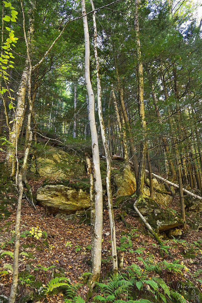
Trees and Metamorphic Rock

Along Rt 11 - Bromley, VT
Weston Vermont falls
Topographic Map of Parsons Ln, Londonderry, VT, USA
Find elevation by address:

Places near Parsons Ln, Londonderry, VT, USA:
653 Middletown Rd
Vermont 11
Vermont 11
Middletown Rd, Londonderry, VT, USA
Londonderry
451 Main St
17 Main St, South Londonderry, VT, USA
South Londonderry
Chaves Road
5395 Vt-100
5700 Vt-100
160 Landgrove Rd
609 Boynton Rd
1886 Winhall Hollow Rd
363 Rowley Ln
Winhall Station Road
3234 Under Mountain Rd
1426 Goodaleville Rd
1426 Goodaleville Rd
140 Sherwood Forest
Recent Searches:
- Elevation of Tenjo, Cundinamarca, Colombia
- Elevation of Côte-des-Neiges, Montreal, QC H4A 3J6, Canada
- Elevation of Bobcat Dr, Helena, MT, USA
- Elevation of Zu den Ihlowbergen, Althüttendorf, Germany
- Elevation of Badaber, Peshawar, Khyber Pakhtunkhwa, Pakistan
- Elevation of SE Heron Loop, Lincoln City, OR, USA
- Elevation of Slanický ostrov, 01 Námestovo, Slovakia
- Elevation of Spaceport America, Co Rd A, Truth or Consequences, NM, USA
- Elevation of Warwick, RI, USA
- Elevation of Fern Rd, Whitmore, CA, USA