Elevation of Parque Nacional Madidi, Franz Tamayo, Bolivia
Location: Bolivia > La Paz Department > Franz Tamayo > Apolo >
Longitude: -68.333927
Latitude: -14.189209
Elevation: 1434m / 4705feet
Barometric Pressure: 85KPa
Elevation Map:
Satellite Map:
Related Photos:

Cows in the Pampas
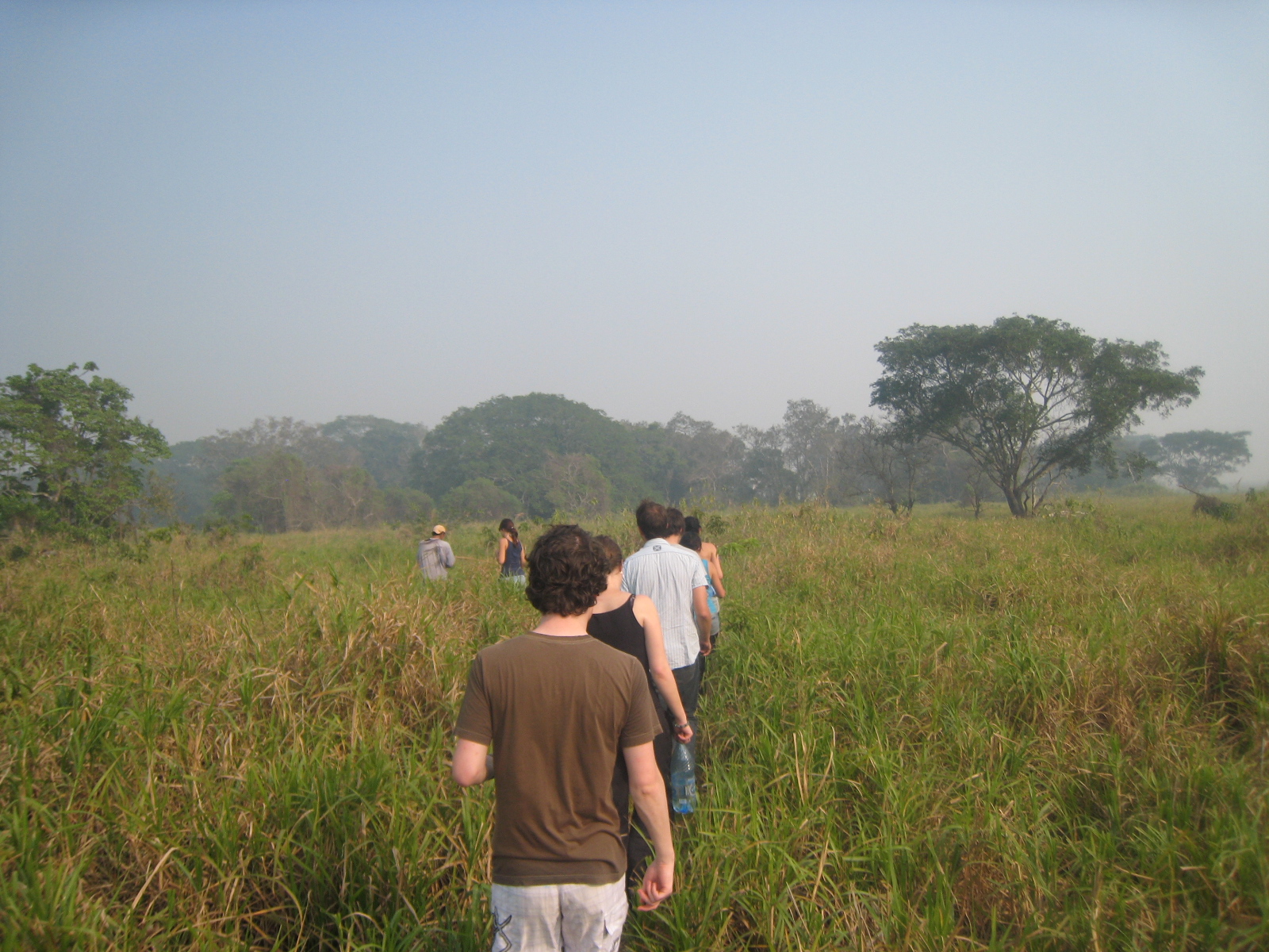
Into the Pampas in Bolivia
Topographic Map of Parque Nacional Madidi, Franz Tamayo, Bolivia
Find elevation by address:

Places near Parque Nacional Madidi, Franz Tamayo, Bolivia:
Recent Searches:
- Elevation of Corcoran Ln, Suffolk, VA, USA
- Elevation of Mamala II, Sariaya, Quezon, Philippines
- Elevation of Sarangdanda, Nepal
- Elevation of 7 Waterfall Way, Tomball, TX, USA
- Elevation of SW 57th Ave, Portland, OR, USA
- Elevation of Crocker Dr, Vacaville, CA, USA
- Elevation of Pu Ngaol Community Meeting Hall, HWHM+3X7, Krong Saen Monourom, Cambodia
- Elevation of Royal Ontario Museum, Queens Park, Toronto, ON M5S 2C6, Canada
- Elevation of Groblershoop, South Africa
- Elevation of Power Generation Enterprises | Industrial Diesel Generators, Oak Ave, Canyon Country, CA, USA