Elevation of Parque Nacional de Yacuri, Amaluza-San Andrés, Ecuador
Location: Ecuador > Zamora-chinchipe Province > Palanda >
Longitude: -79.312754
Latitude: -4.6257708
Elevation: 3260m / 10696feet
Barometric Pressure: 68KPa
Elevation Map:
Satellite Map:
Related Photos:
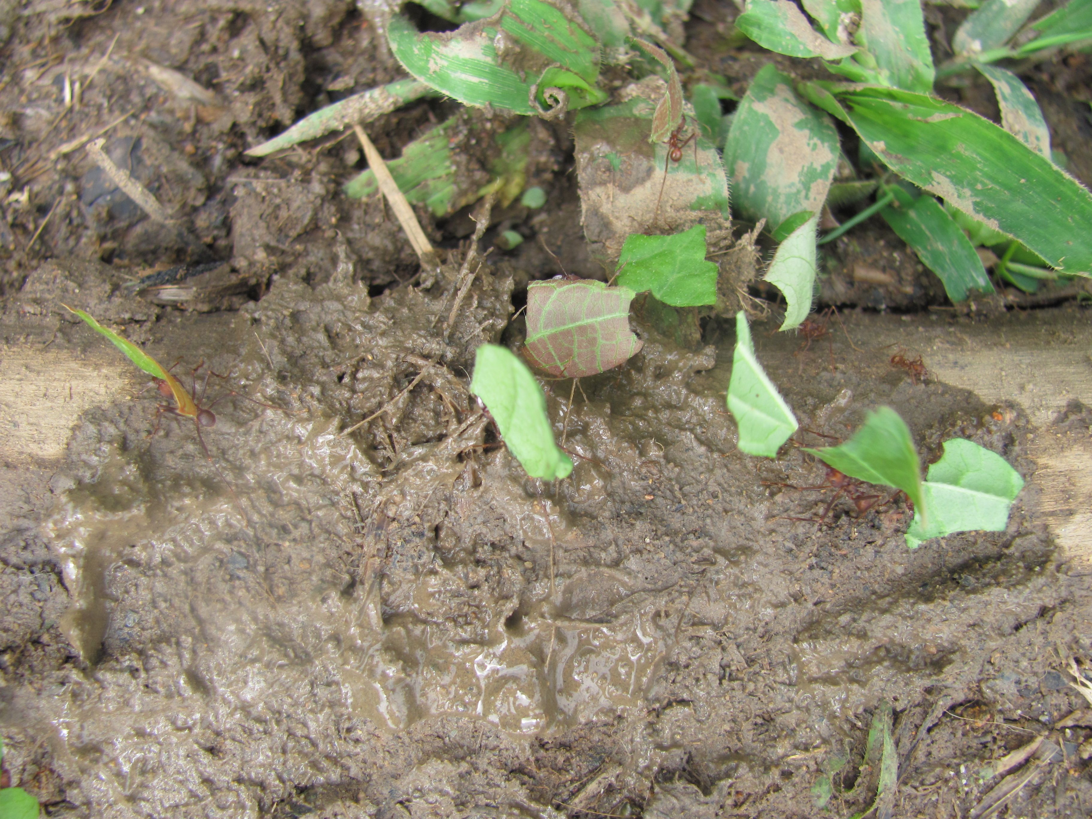
Soldier Ants of the Tropical Rainforest
Topographic Map of Parque Nacional de Yacuri, Amaluza-San Andrés, Ecuador
Find elevation by address:

Places near Parque Nacional de Yacuri, Amaluza-San Andrés, Ecuador:
Rio Jorupe
Valladolid
Palanda
Yangana
Hostal Izhcayluma
Vilcabamba (victoria)
Cerro Mandango
Via A Yamburara Alto
Vilcabamba
Eje Vial IV, Peru
Gonzanamá
Santuario Del Señor Del Buen Suceso Y Nuestra Señora Del Carmen
Utuana
Sozoranga Canton
Sozoranga
Macara
Charanal
Recent Searches:
- Elevation of Congressional Dr, Stevensville, MD, USA
- Elevation of Bellview Rd, McLean, VA, USA
- Elevation of Stage Island Rd, Chatham, MA, USA
- Elevation of Shibuya Scramble Crossing, 21 Udagawacho, Shibuya City, Tokyo -, Japan
- Elevation of Jadagoniai, Kaunas District Municipality, Lithuania
- Elevation of Pagonija rock, Kranto 7-oji g. 8"N, Kaunas, Lithuania
- Elevation of Co Rd 87, Jamestown, CO, USA
- Elevation of Tenjo, Cundinamarca, Colombia
- Elevation of Côte-des-Neiges, Montreal, QC H4A 3J6, Canada
- Elevation of Bobcat Dr, Helena, MT, USA