Elevation of Parkstown Rd, La Grange, NC, USA
Location: United States > North Carolina > Wayne County > Saulston >
Longitude: -77.817986
Latitude: 35.377999
Elevation: 31m / 102feet
Barometric Pressure: 101KPa
Elevation Map:
Satellite Map:
Related Photos:

Willow Dale Cemetery

Time to Fly!!
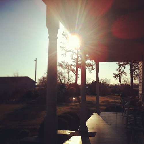
I could start every day sitting on the porch at @carl family house. the light is perfect, the view is serene and the porch is exactly how it should it be. #northcarolina #snowhill #iloveflares

a view this pretty doesn't need any editing! @carl family farm. so very, very pretty and peaceful. #northcarolina #snowhill #ilovetrees
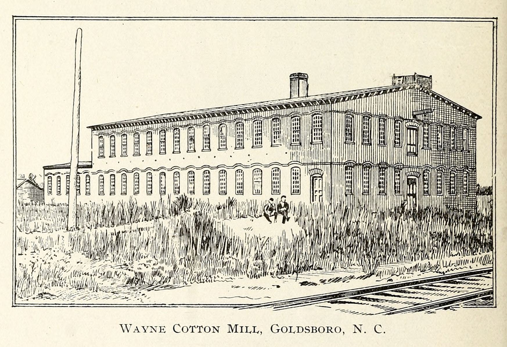
Wayne Cotton Mill, Goldsboro, NC

X-ray 3
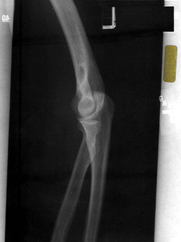
X-ray 2
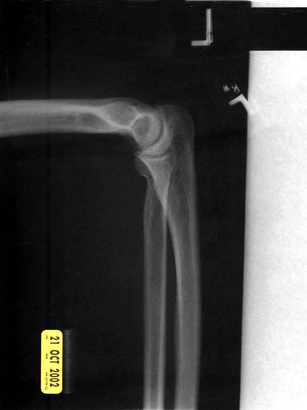
X-ray 1

Sculptures From The Past
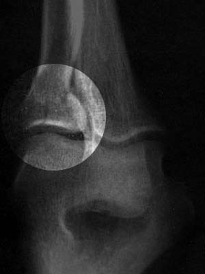
X-ray 3, highlighted
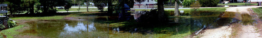
A panoramic view of the flooded front yard
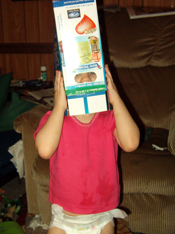
Laurel's soy-milk box helmet
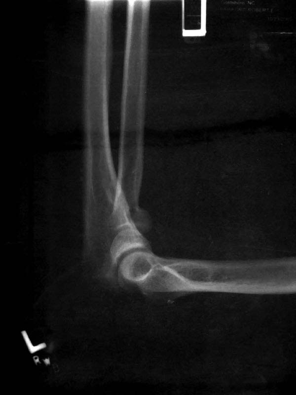
X-ray 4

A dormer with a view.

Branch in front yard
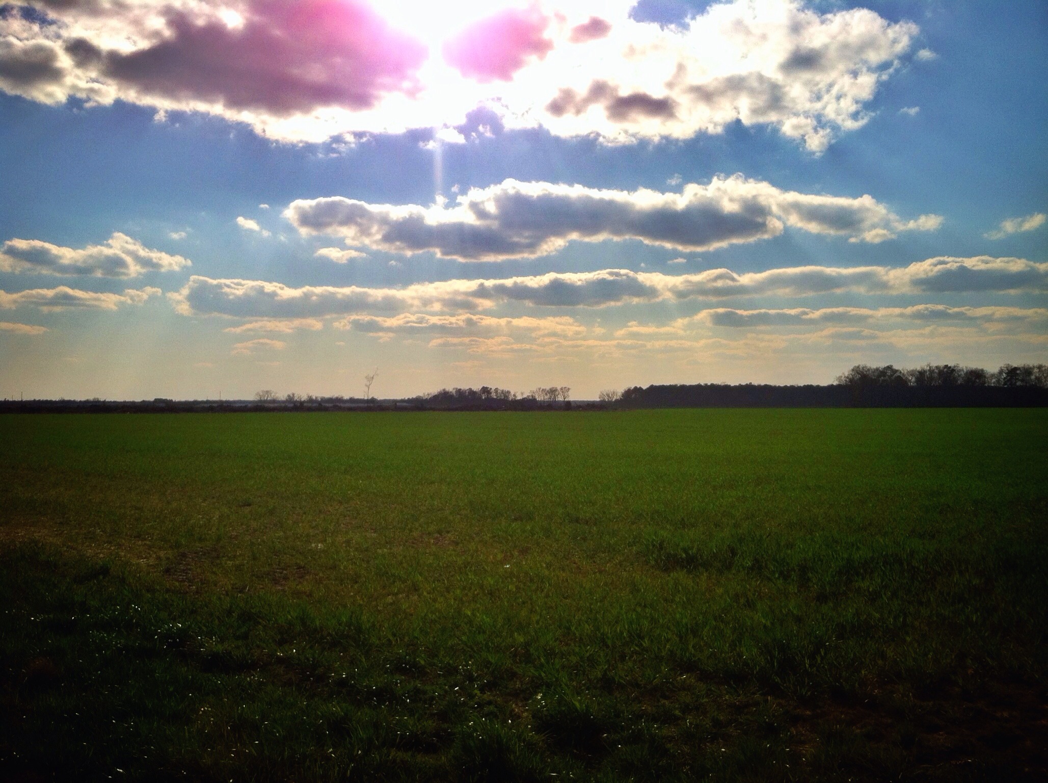
78/365/2013 Big Sky Country
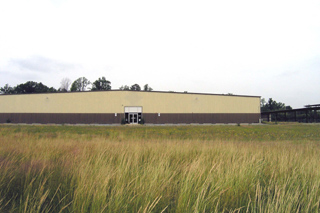
J&J Rental
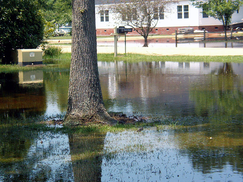
Yesterday that was a dry lawn.

First Roll Of TMax 100

New wooden train 2
Topographic Map of Parkstown Rd, La Grange, NC, USA
Find elevation by address:

Places near Parkstown Rd, La Grange, NC, USA:
2185 Titus Mewborn Rd
2185 Titus Mewborn Rd
E New Hope Rd, La Grange, NC, USA
La Grange, NC, USA
Saulston
Jason
New Hope
Shine
129 Kelly Ct
1002 Millers Chapel Rd
2629 Gurganus Rd
105 Hunters Pl
201 Brantwood Dr
E New Hope Rd, Goldsboro, NC, USA
102 Torhunta Dr
105 Earnest Ave
Elroy
206 Woodbine St
Saulston Rd, Goldsboro, NC, USA
Wayne Memorial Drive
Recent Searches:
- Elevation of Groblershoop, South Africa
- Elevation of Power Generation Enterprises | Industrial Diesel Generators, Oak Ave, Canyon Country, CA, USA
- Elevation of Chesaw Rd, Oroville, WA, USA
- Elevation of N, Mt Pleasant, UT, USA
- Elevation of 6 Rue Jules Ferry, Beausoleil, France
- Elevation of Sattva Horizon, 4JC6+G9P, Vinayak Nagar, Kattigenahalli, Bengaluru, Karnataka, India
- Elevation of Great Brook Sports, Gold Star Hwy, Groton, CT, USA
- Elevation of 10 Mountain Laurels Dr, Nashua, NH, USA
- Elevation of 16 Gilboa Ln, Nashua, NH, USA
- Elevation of Laurel Rd, Townsend, TN, USA