Elevation of Parker Ln, Morganton, NC, USA
Location: United States > North Carolina > Burke County > Morganton > Morganton >
Longitude: -81.650917
Latitude: 35.729711
Elevation: 350m / 1148feet
Barometric Pressure: 97KPa
Elevation Map:
Satellite Map:
Related Photos:
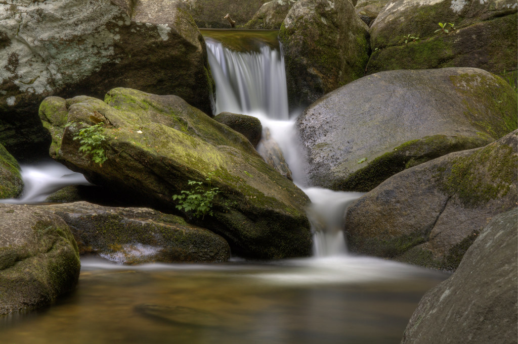
Falling Water

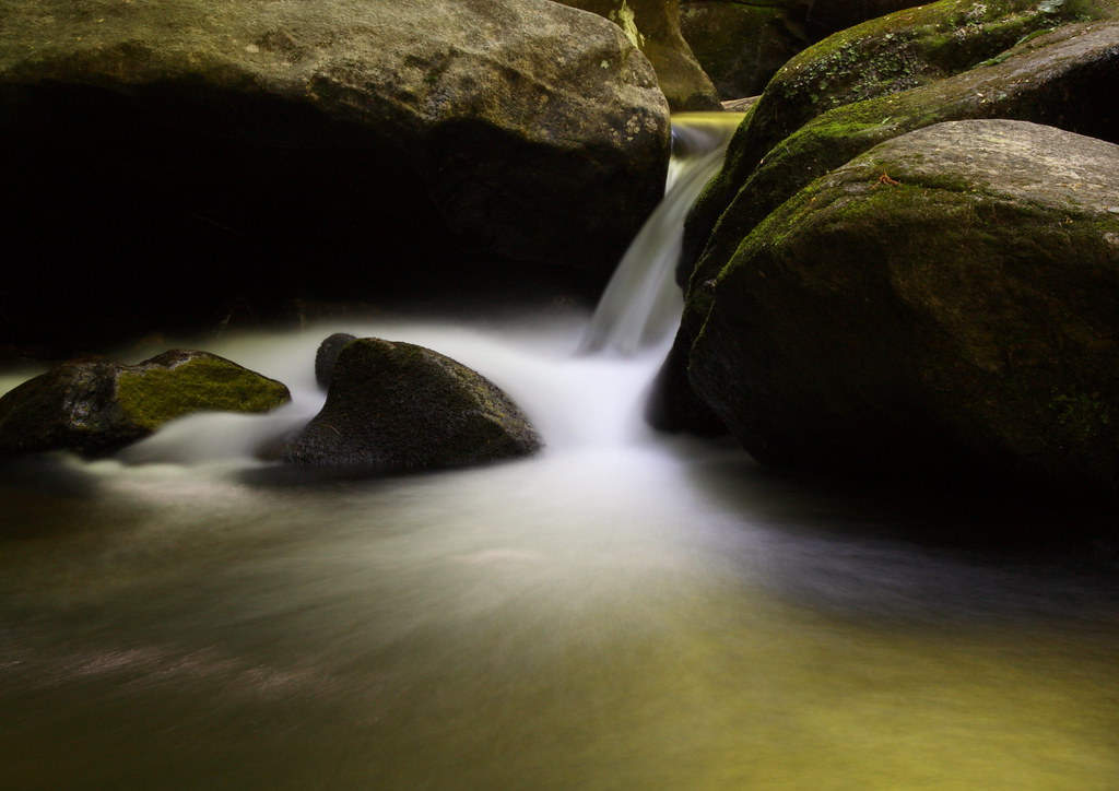
Jacob's Fork Cascades

Jacob's Fork in the Fall

High Shoals Falls
In the Country 22/52

Journey 313/365

South Mountain Trillium

Misty Base
Golden Cascade

Falling Water with Ice

Red Leaf

Sliding Board?

The Base

Crayola Crayons

Jacob's Fork Cascade

Autumn Cascade

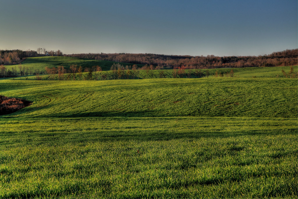
Countryside View

In over my Knees!

Go with the Flow

Quiet by the Creekside

Party Lights

For Evelyn
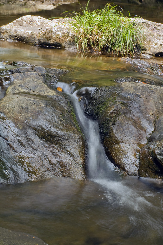
Jacob's Fork Trickle

Winter Water

South Mountains Cascade
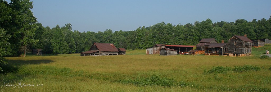
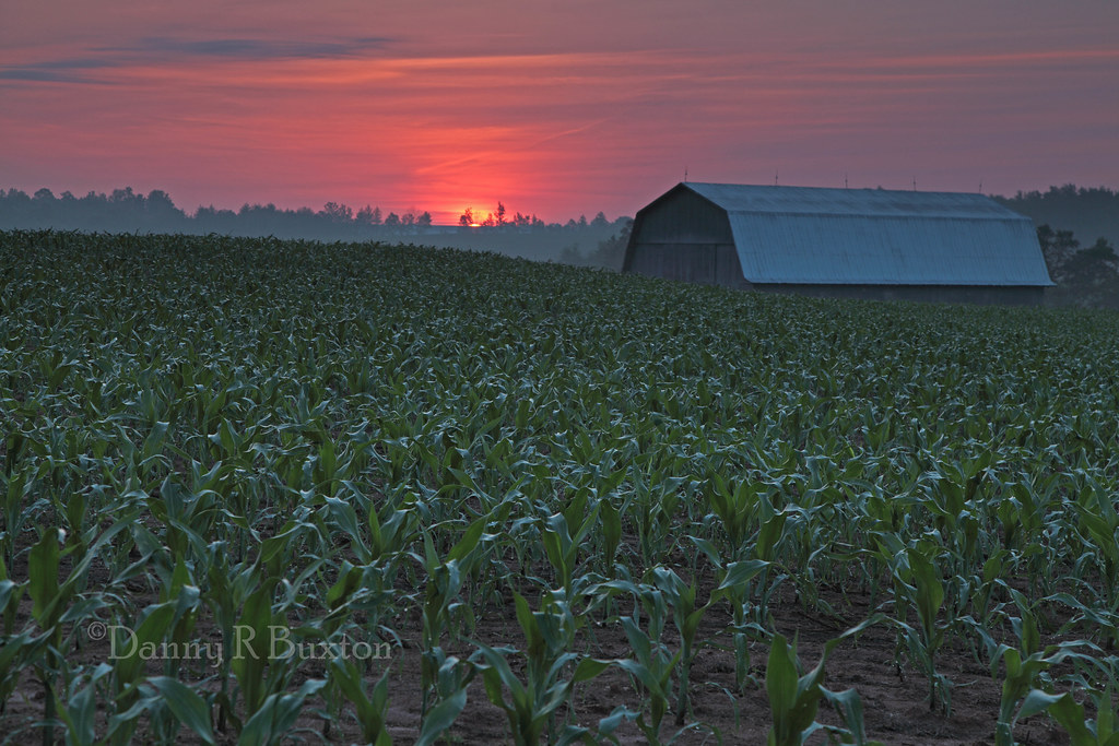
The Farm 152/365

Sweet Serenity

Mothers Day Lily 20/52

Freezing Falls
Carolina Country 10/52

Watery Detail (EXPLORE 6/30/2012- pg 36)
Topographic Map of Parker Ln, Morganton, NC, USA
Find elevation by address:

Places near Parker Ln, Morganton, NC, USA:
2887 Woodstream Dr
2481 Genes Loop
Morganton
120 N Face Dr
120 N Face Dr
2906 N Face Dr
105 Burke St
217 Sherwood Pl
114 River Hills Way
100 N Fox St
Drexel
925 Us-70
Mimosa Hills Country Club
Forest Drive Northeast
4193 Burkemont Rd
4193 Burkemont Rd
225 Baxter St
107 Grandview Ct
695 Hopewell Rd
4228 Rocky Rd
Recent Searches:
- Elevation of Congressional Dr, Stevensville, MD, USA
- Elevation of Bellview Rd, McLean, VA, USA
- Elevation of Stage Island Rd, Chatham, MA, USA
- Elevation of Shibuya Scramble Crossing, 21 Udagawacho, Shibuya City, Tokyo -, Japan
- Elevation of Jadagoniai, Kaunas District Municipality, Lithuania
- Elevation of Pagonija rock, Kranto 7-oji g. 8"N, Kaunas, Lithuania
- Elevation of Co Rd 87, Jamestown, CO, USA
- Elevation of Tenjo, Cundinamarca, Colombia
- Elevation of Côte-des-Neiges, Montreal, QC H4A 3J6, Canada
- Elevation of Bobcat Dr, Helena, MT, USA