Elevation of Parker Hill Rd, Springfield, VT, USA
Location: United States > Vermont > Windsor County > Springfield >
Longitude: -72.473961
Latitude: 43.253212
Elevation: 280m / 919feet
Barometric Pressure: 98KPa
Elevation Map:
Satellite Map:
Related Photos:

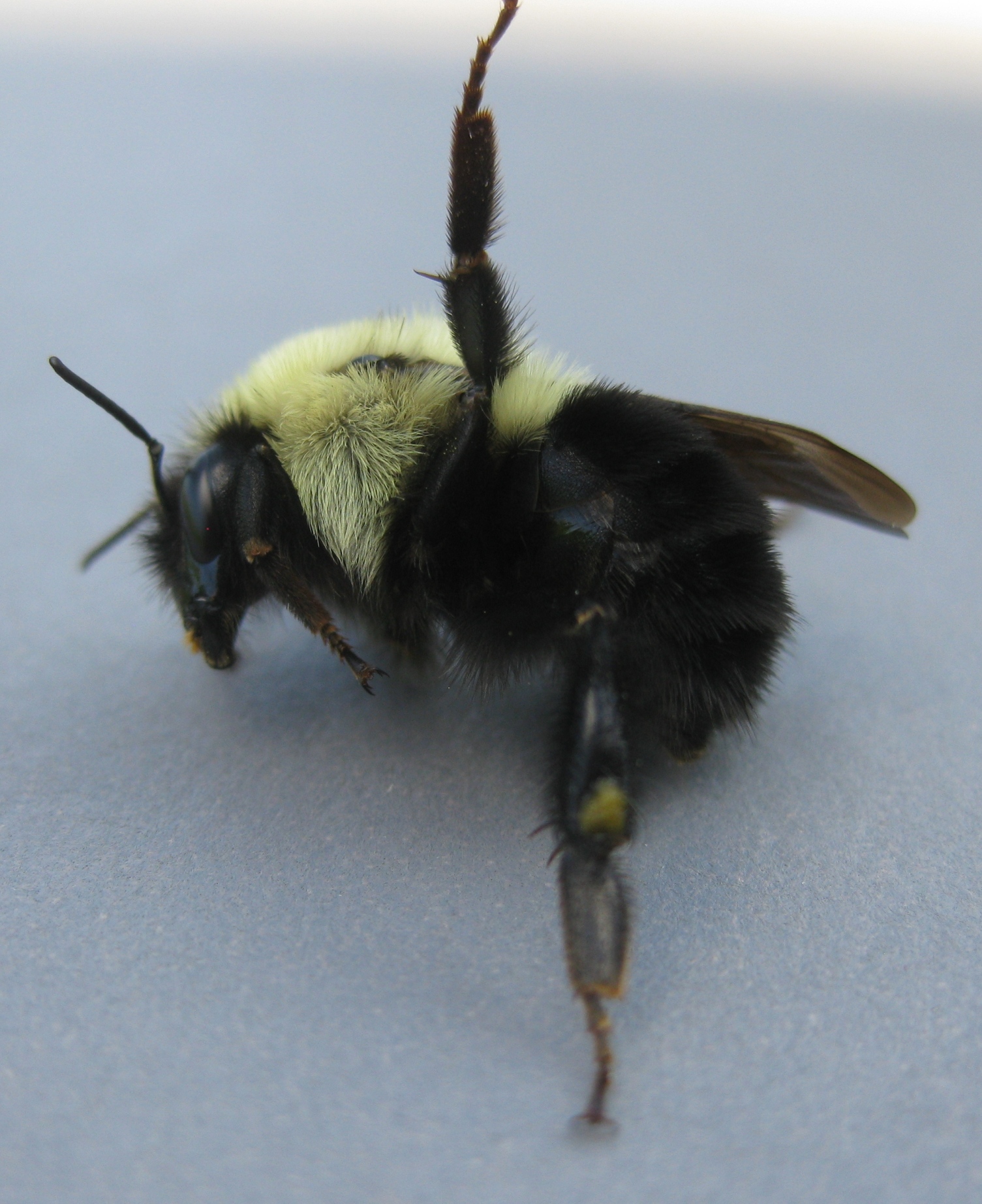
Bombus griseocollis,ocelli view, Rockingham, 5/22/2012
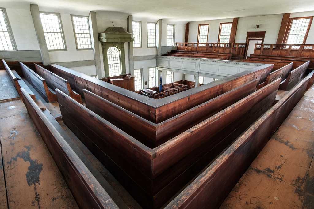
Rockingham Meetinghouse

Bombus griseocollis, top view, Rockingham, 5/22/2012

Bombus Bimaculatus queen

Bombus Bimaculatus queen

Bombus griseocollis, under wing view, Rockingham, 5/22/2012
Bombus Bimaculatus queen

Bombus Bimaculatus queen
Chester VT dirt road
View from the Hall

Bellows Falls Train (bus) Station

Bellows Falls Train (bus) Station
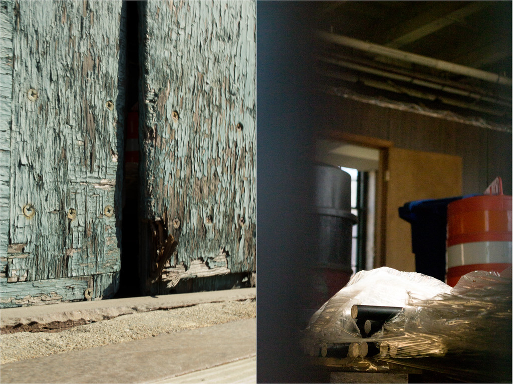
Crack in the Door
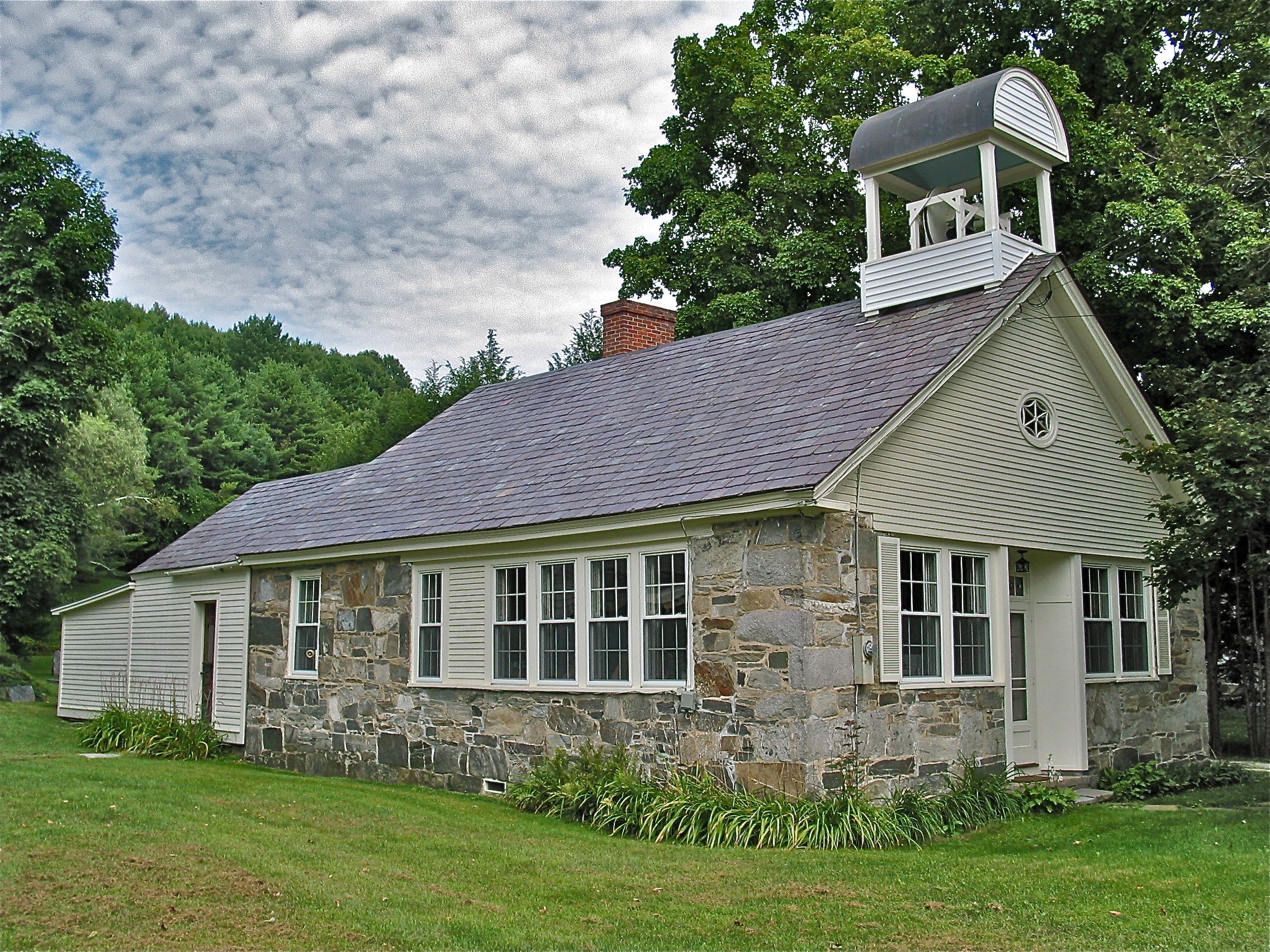
Stone Village Historic District (1838-60) – Schoolhouse
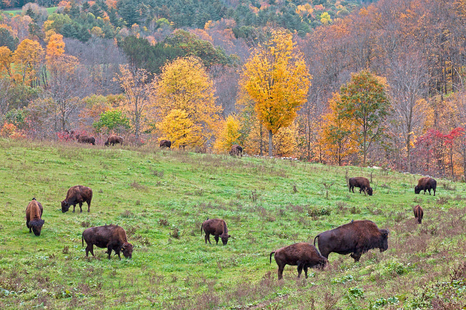
The Buffalo Roam

Stone Village Historic District (1838-60)

Stone Village Historic District (1838-60)
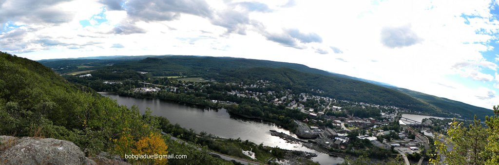
Bellows falls, vermont
Bellows falls, vermont
Bellows falls, vermont

029/365 29-December-2012
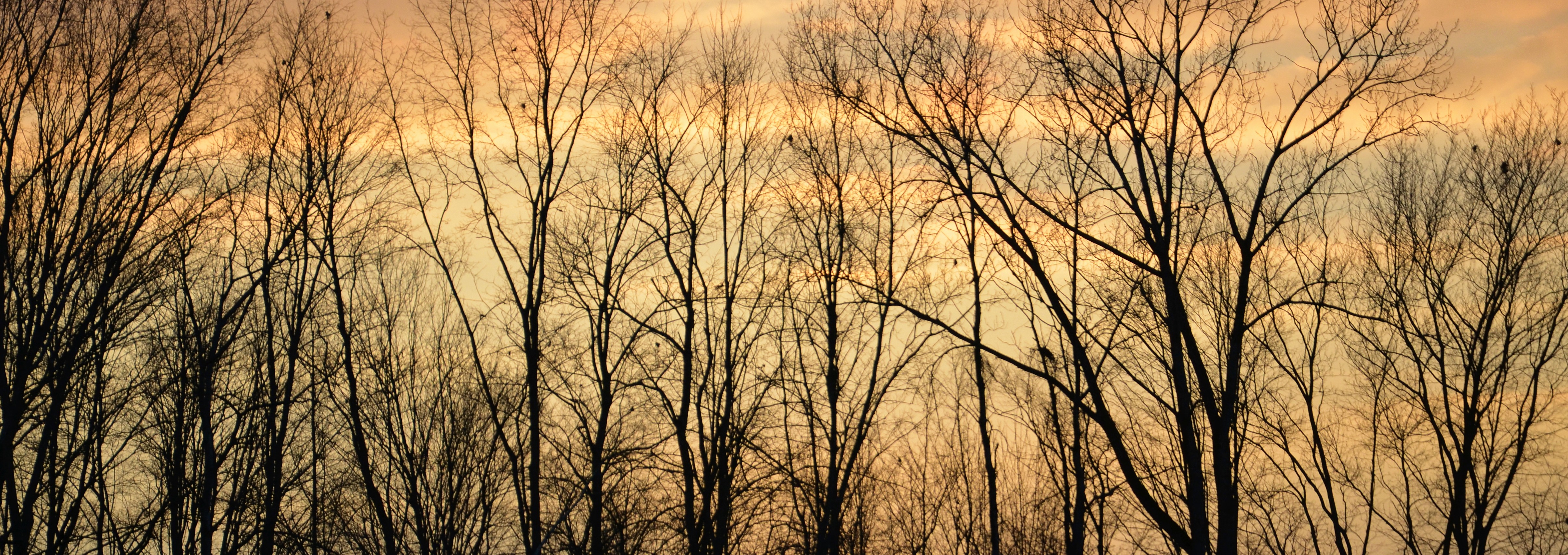
Trees 4a
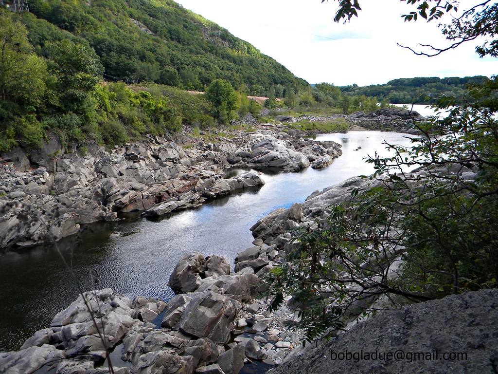
Connecticut River Backwater

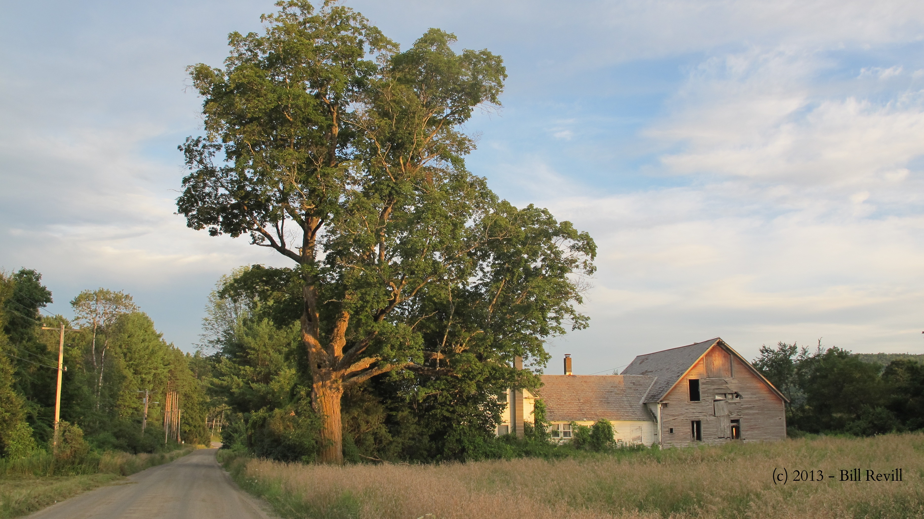
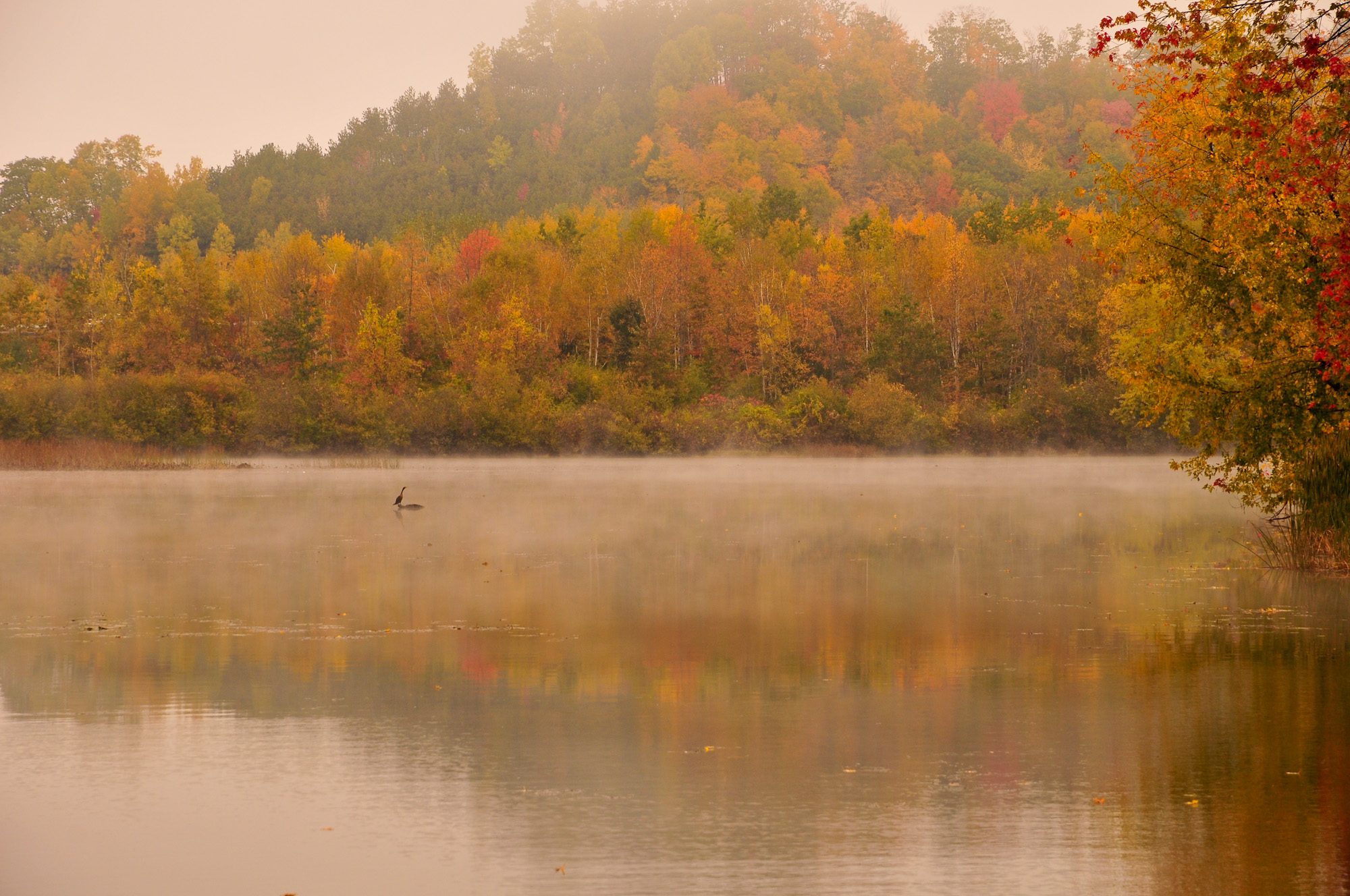
Springfield on a warm autumn day.

the edge of the field in front of my folk's house in winter.
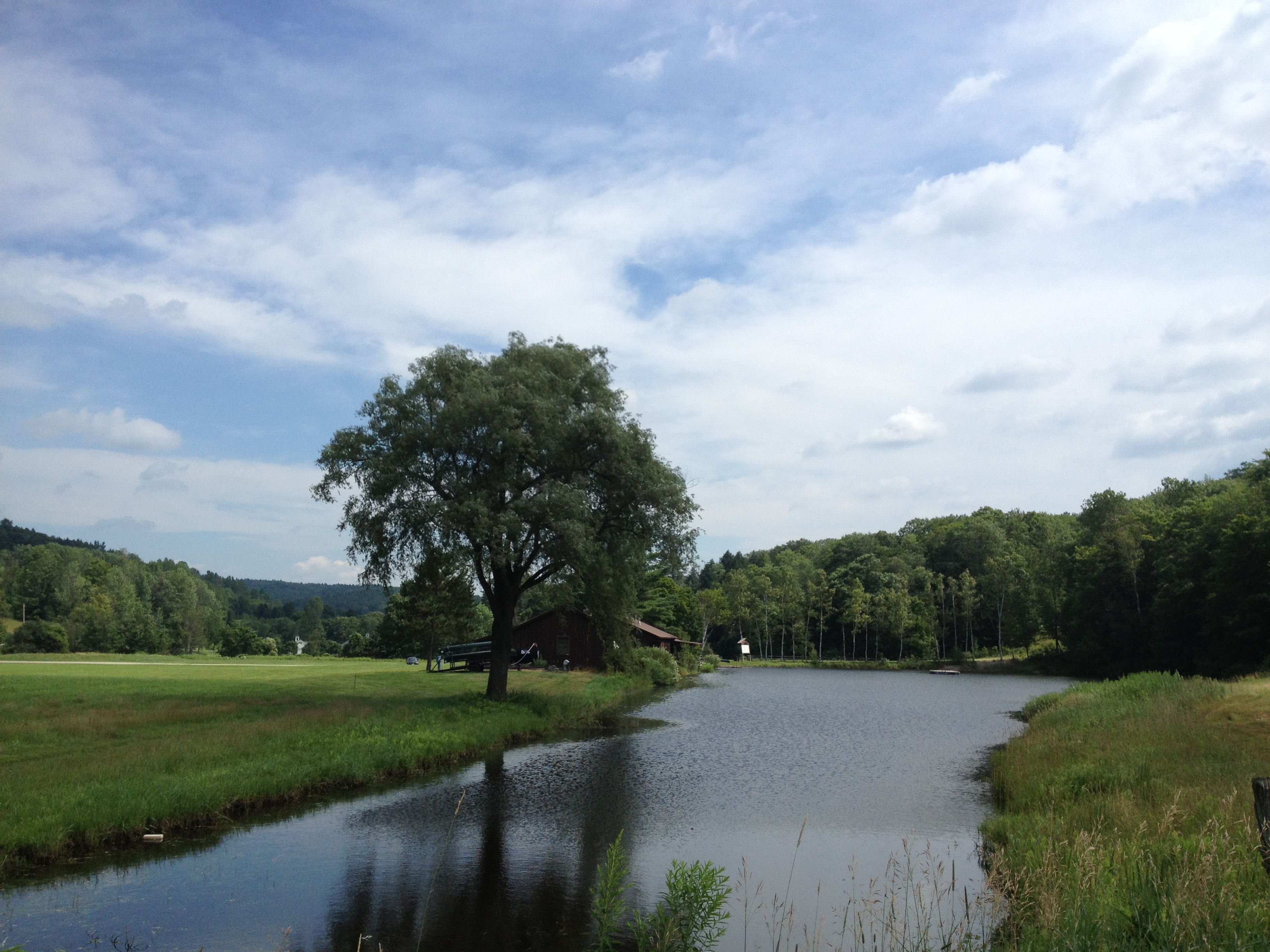
2013-07-19 10.41.18
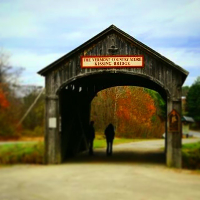
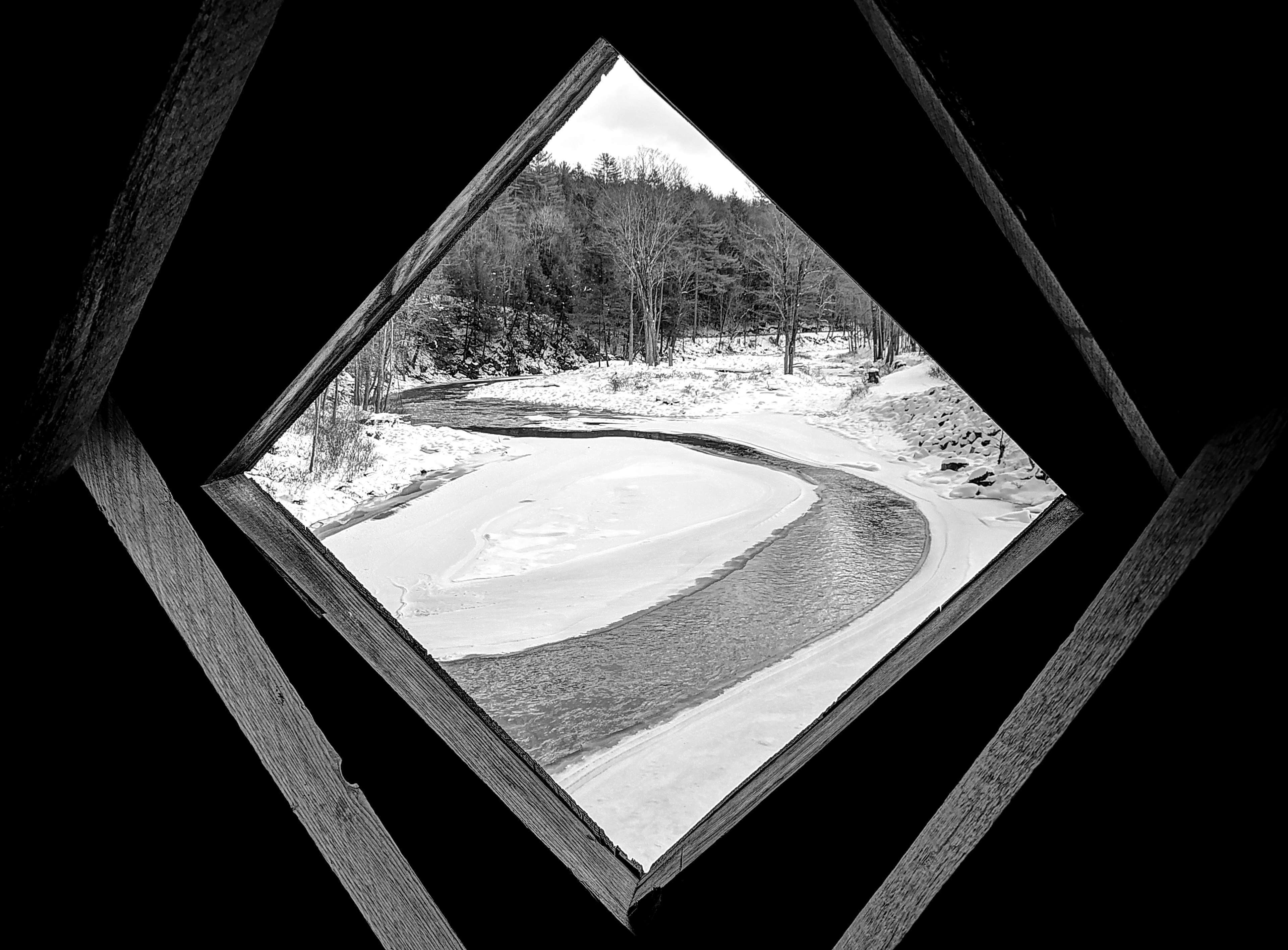
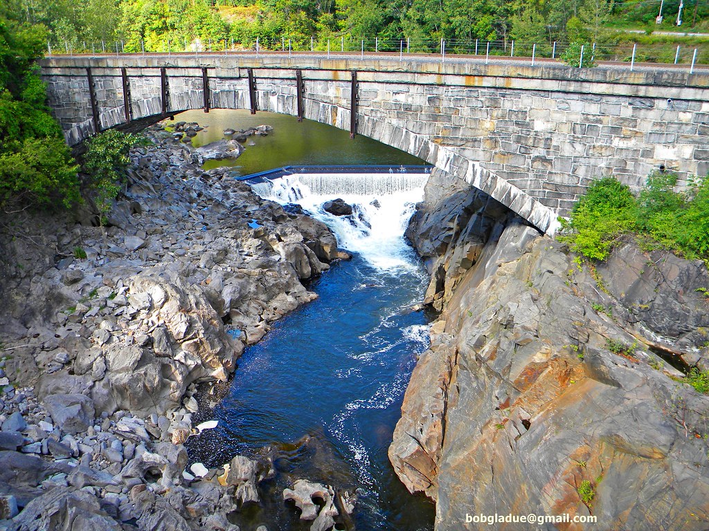
Vermont Bridge

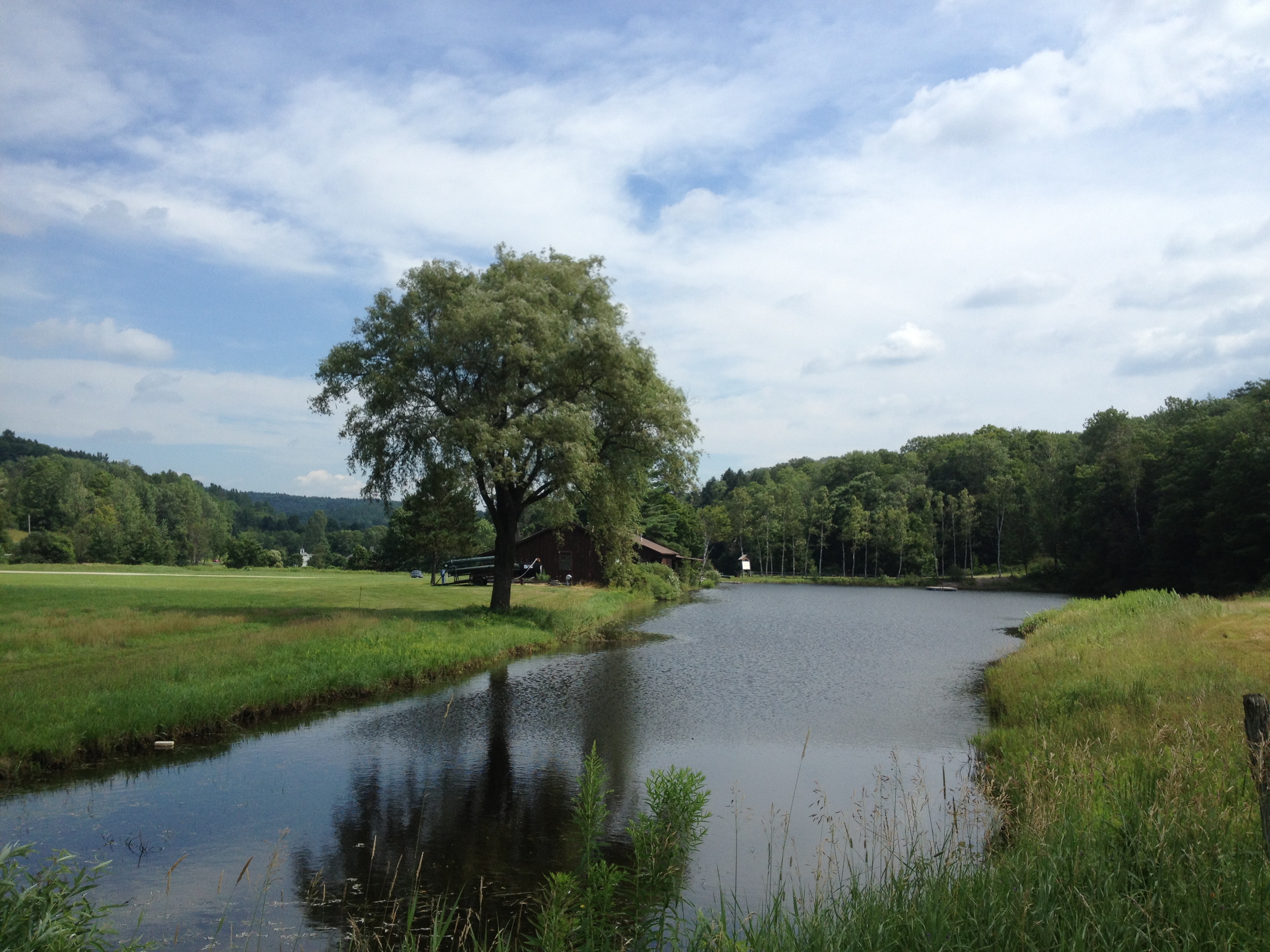
2013-07-19 10.41.26
2013-07-19 10.41.45
the edge of the field in front of my folk's house in winter.
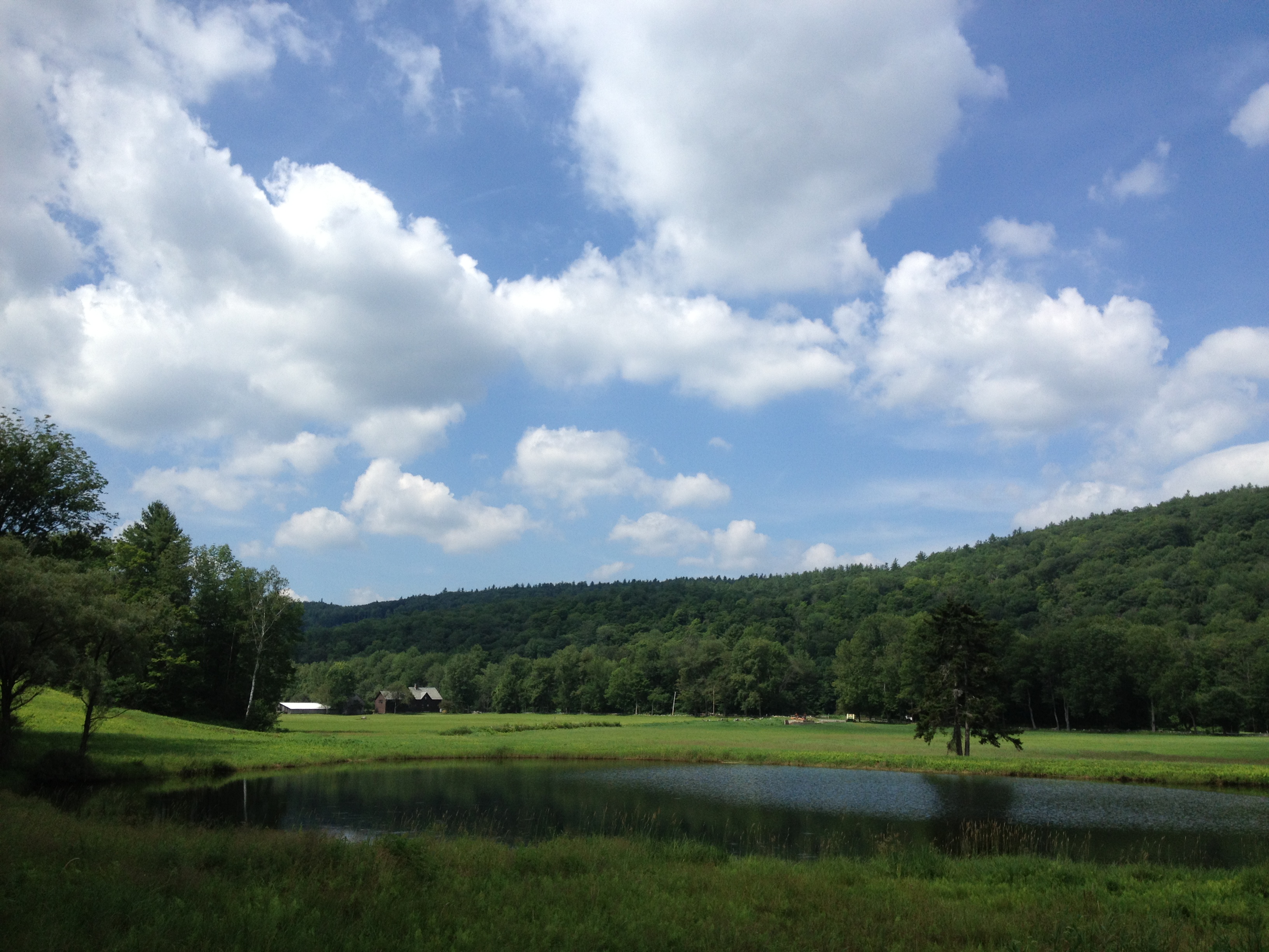
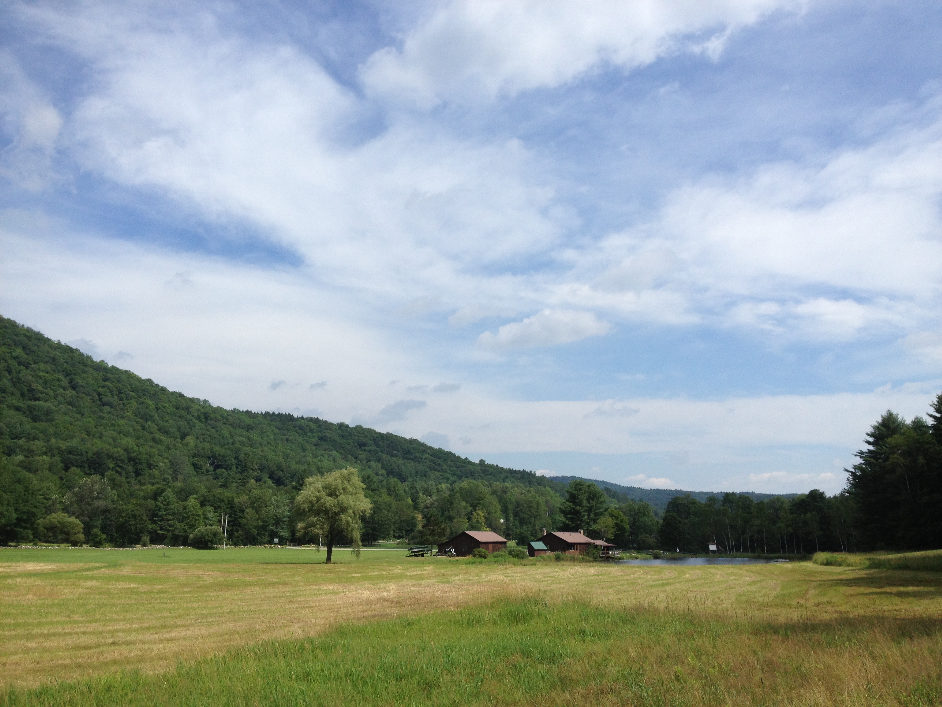
2013-07-19 09.31.48
2013-07-19 10.44.20
2013-07-19 09.31.51
2013-07-19 09.20.13

2013-07-19 10.44.30

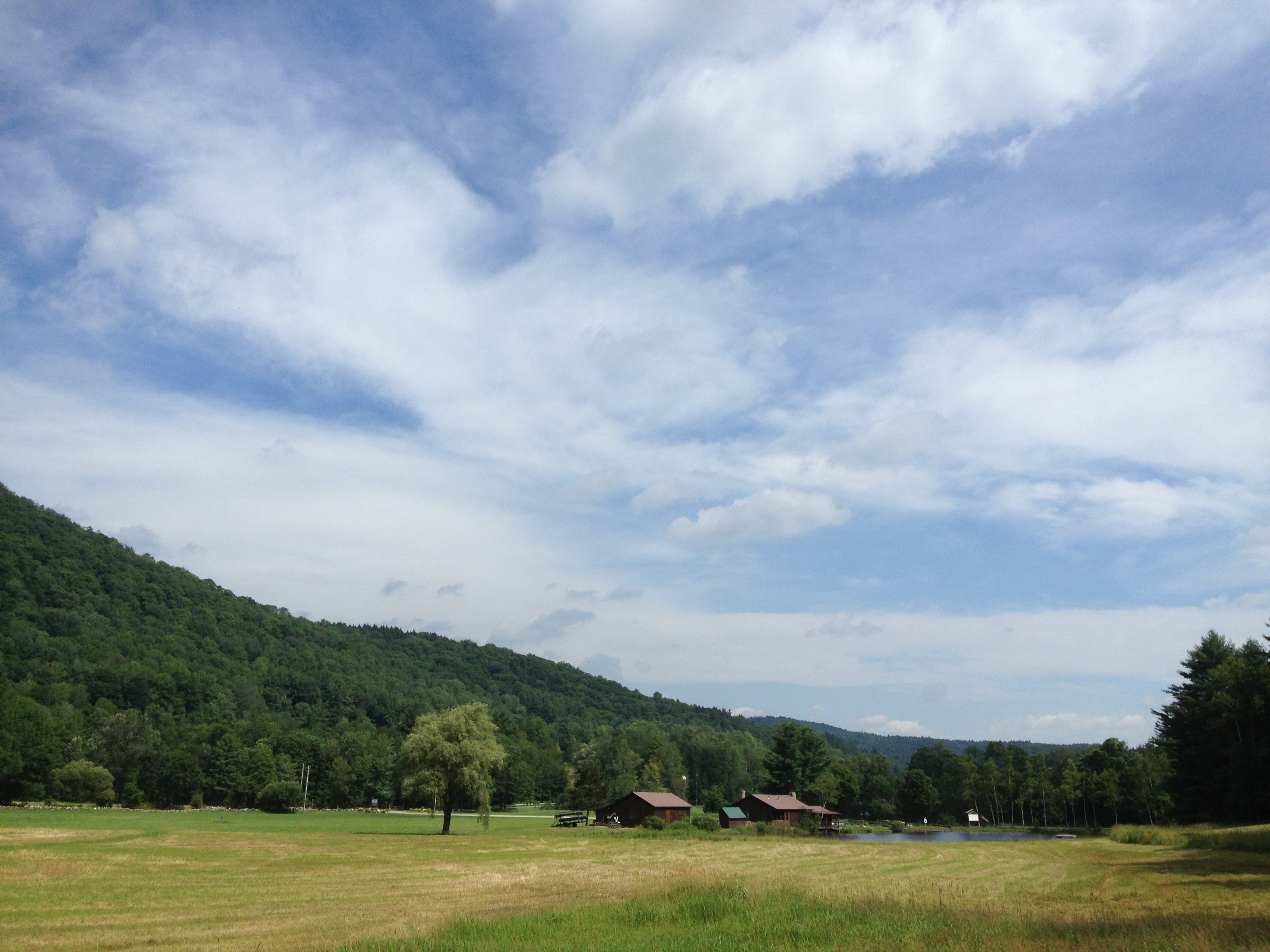
2013-07-19 10.37.31
2013-07-19 10.44.31-2

2013-07-19 09.31.46
2013-07-19 10.44.28
2013-07-19 10.41.40
2013-07-19 10.44.09
Topographic Map of Parker Hill Rd, Springfield, VT, USA
Find elevation by address:

Places near Parker Hill Rd, Springfield, VT, USA:
520 Parker Hill Rd
256 Walter Westney Rd
80 Tenney Rd
Wcfr Drive
690 Spencer Hollow Rd
22 Cottage Ave
690 Spencer Hollow Rd
Springfield
Springfield
Springfield
6 Goodyear Ave
167 Park St
167 Park St
77 Valley St
81 Connecticut River Rd
542 Breezy Hill Rd
25 Morgan St
Cherry Hill Street
176 Elm Hill St
21 Highland Cir
Recent Searches:
- Elevation of Congressional Dr, Stevensville, MD, USA
- Elevation of Bellview Rd, McLean, VA, USA
- Elevation of Stage Island Rd, Chatham, MA, USA
- Elevation of Shibuya Scramble Crossing, 21 Udagawacho, Shibuya City, Tokyo -, Japan
- Elevation of Jadagoniai, Kaunas District Municipality, Lithuania
- Elevation of Pagonija rock, Kranto 7-oji g. 8"N, Kaunas, Lithuania
- Elevation of Co Rd 87, Jamestown, CO, USA
- Elevation of Tenjo, Cundinamarca, Colombia
- Elevation of Côte-des-Neiges, Montreal, QC H4A 3J6, Canada
- Elevation of Bobcat Dr, Helena, MT, USA