Elevation of Park Ave, Abbeville, LA, USA
Location: United States > Louisiana > Vermilion Parish > > Abbeville >
Longitude: -92.140775
Latitude: 29.9808866
Elevation: 4m / 13feet
Barometric Pressure: 101KPa
Elevation Map:
Satellite Map:
Related Photos:

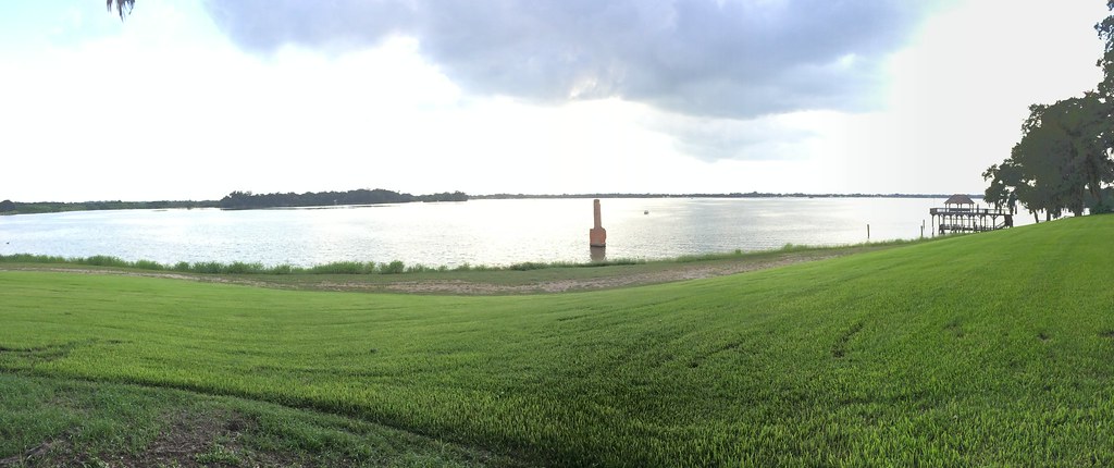
Barbed With A View
IMG_3889-3

Shucks!

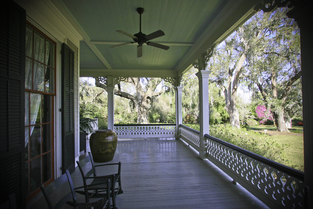
Abbeville Park
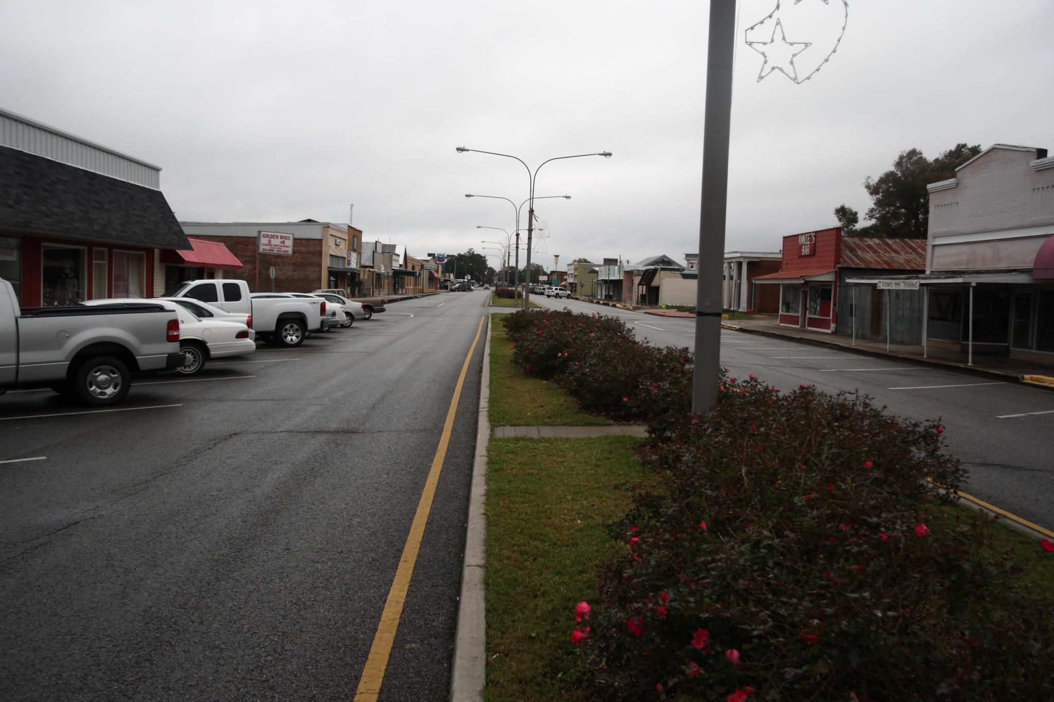
Downtown Kaplan
JeffersonIsland-71.jpg

JeffersonIsland-22.jpg

JeffersonIsland-2.jpg
Camera Roll-34

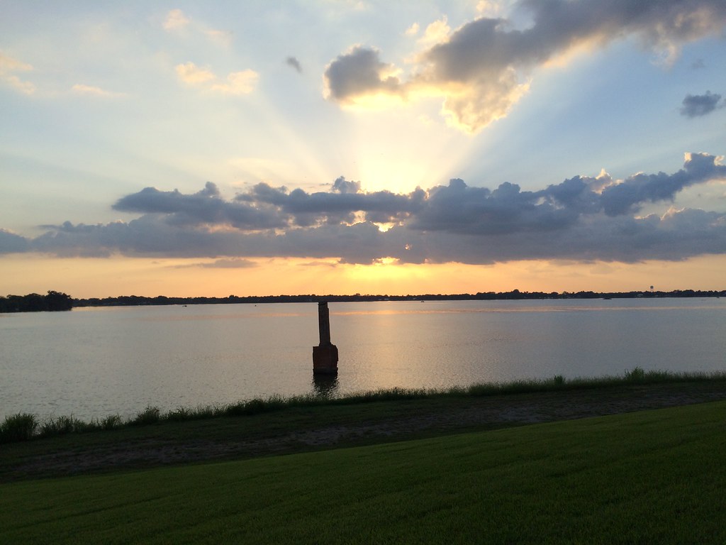
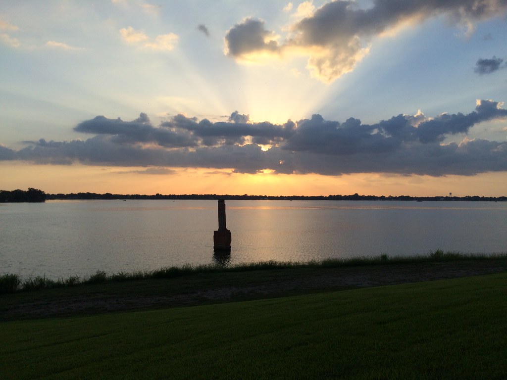
Cajun Sunset

Photography Weekly Challenge (Flags)
Camera Roll-31
Camera Roll-35
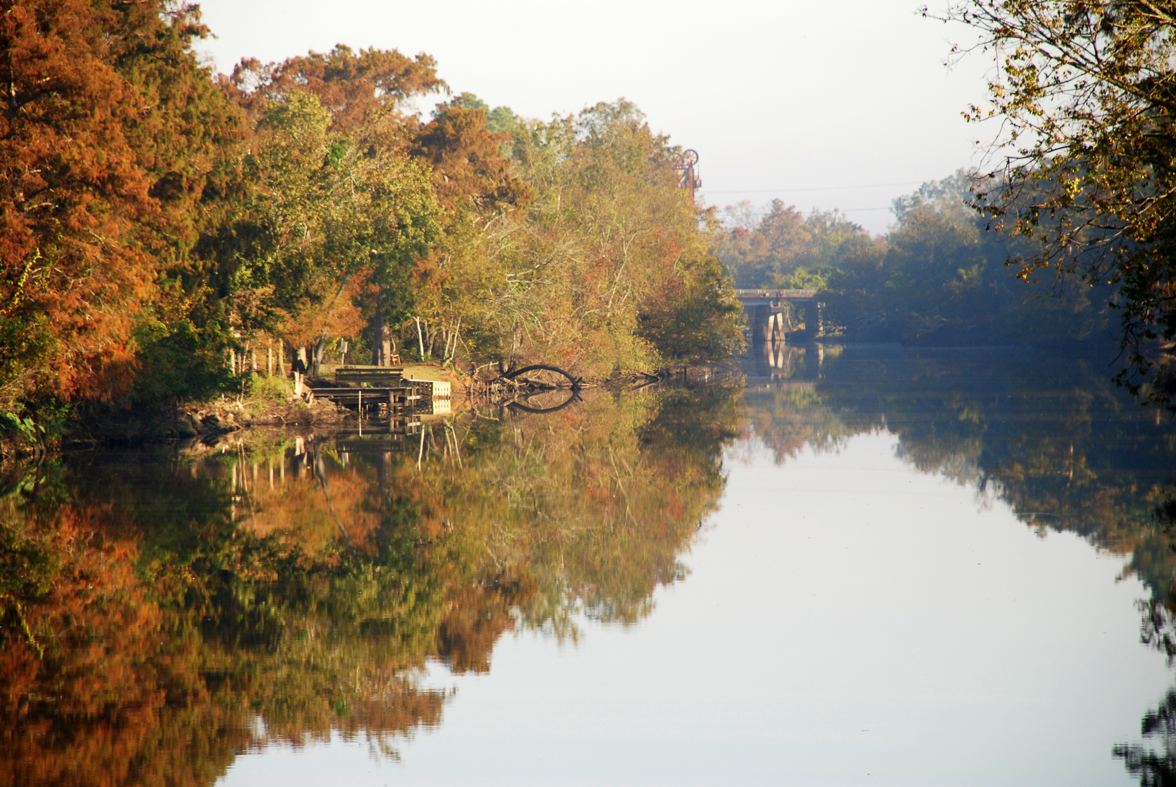
Vermilion River Reflections

A very green swamp

Giant Banana spider on a web

Maurice 090106 001 Leblanc Rd rice
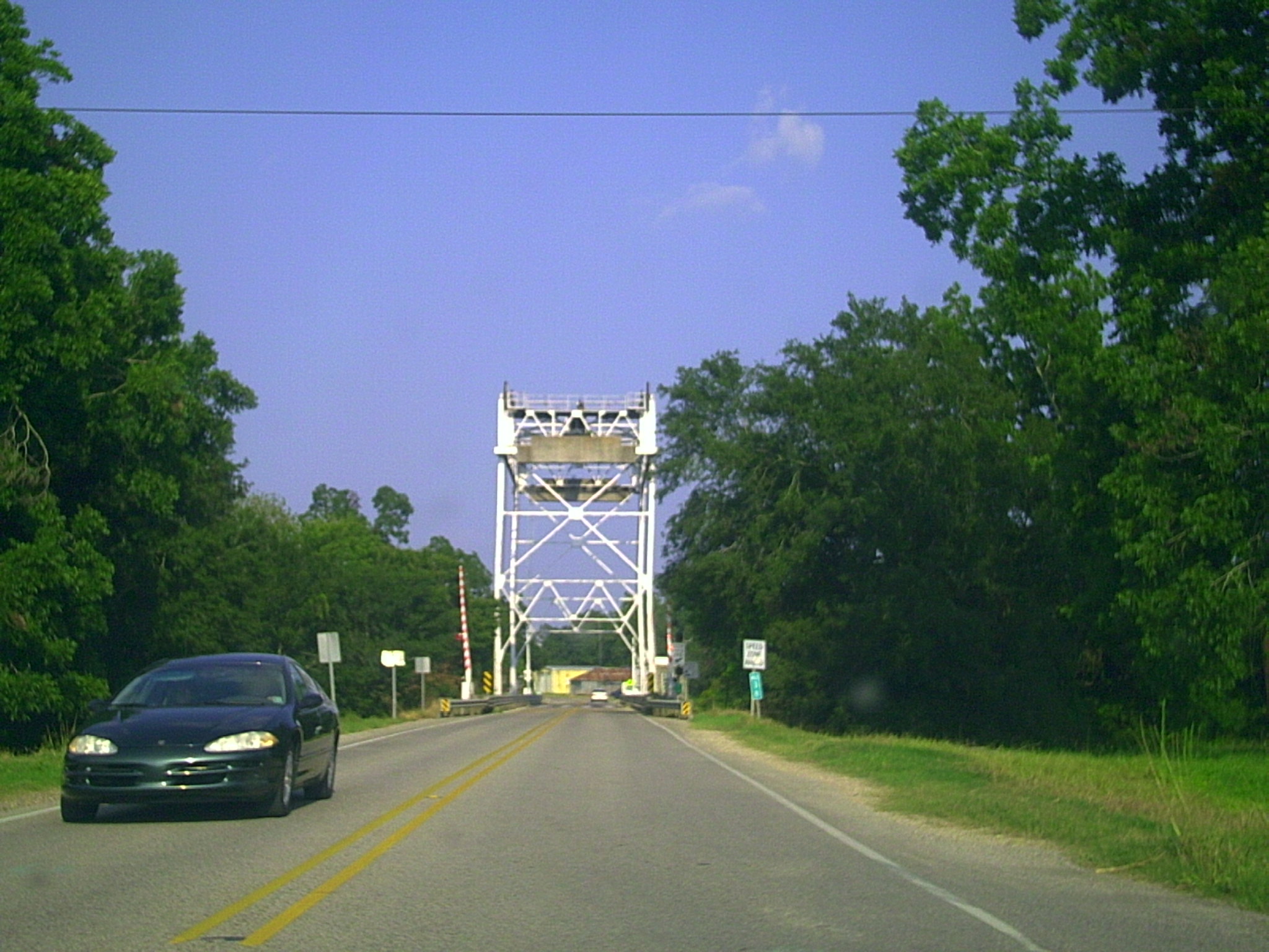
Milton LA Bridge

IMG_4917 -- Rip Van Winkle Gardens - Jefferson Island, LA

Our place at Abbeville RV Park
Topographic Map of Park Ave, Abbeville, LA, USA
Find elevation by address:

Places near Park Ave, Abbeville, LA, USA:
305 W St Mary St
305 W St Mary St
407 Senior Alley
608 Thomas St
211 N Washington St
704 Thomas St
310 Joffre Ave
804 Thomas St
906 Thomas St
209 W Magnolia Ave
1100 Allen Alexander Street
Abbeville
Allen Alexander Street
N St Charles St, Abbeville, LA, USA
210 W Villien Ave
337 Colby Dr
1005 Thomas St
1106 Allen Alexander Street
1107 Allen Alexander Street
303 Camp St
Recent Searches:
- Elevation of Unnamed Road, Respublika Severnaya Osetiya — Alaniya, Russia
- Elevation of Verkhny Fiagdon, North Ossetia–Alania Republic, Russia
- Elevation of F. Viola Hiway, San Rafael, Bulacan, Philippines
- Elevation of Herbage Dr, Gulfport, MS, USA
- Elevation of Lilac Cir, Haldimand, ON N3W 2G9, Canada
- Elevation of Harrod Branch Road, Harrod Branch Rd, Kentucky, USA
- Elevation of Wyndham Grand Barbados Sam Lords Castle All Inclusive Resort, End of Belair Road, Long Bay, Bridgetown Barbados
- Elevation of Iga Trl, Maggie Valley, NC, USA
- Elevation of N Co Rd 31D, Loveland, CO, USA
- Elevation of Lindever Ln, Palmetto, FL, USA