Elevation of Paris, France
Location: France > Île-de-france > Paris >
Longitude: 2.3522219
Latitude: 48.856614
Elevation: 33m / 108feet
Barometric Pressure: 101KPa
Elevation Map:
Satellite Map:
Related Photos:
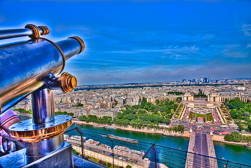
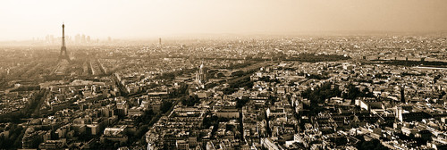
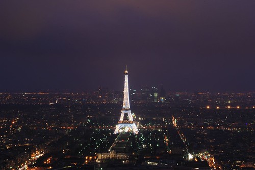
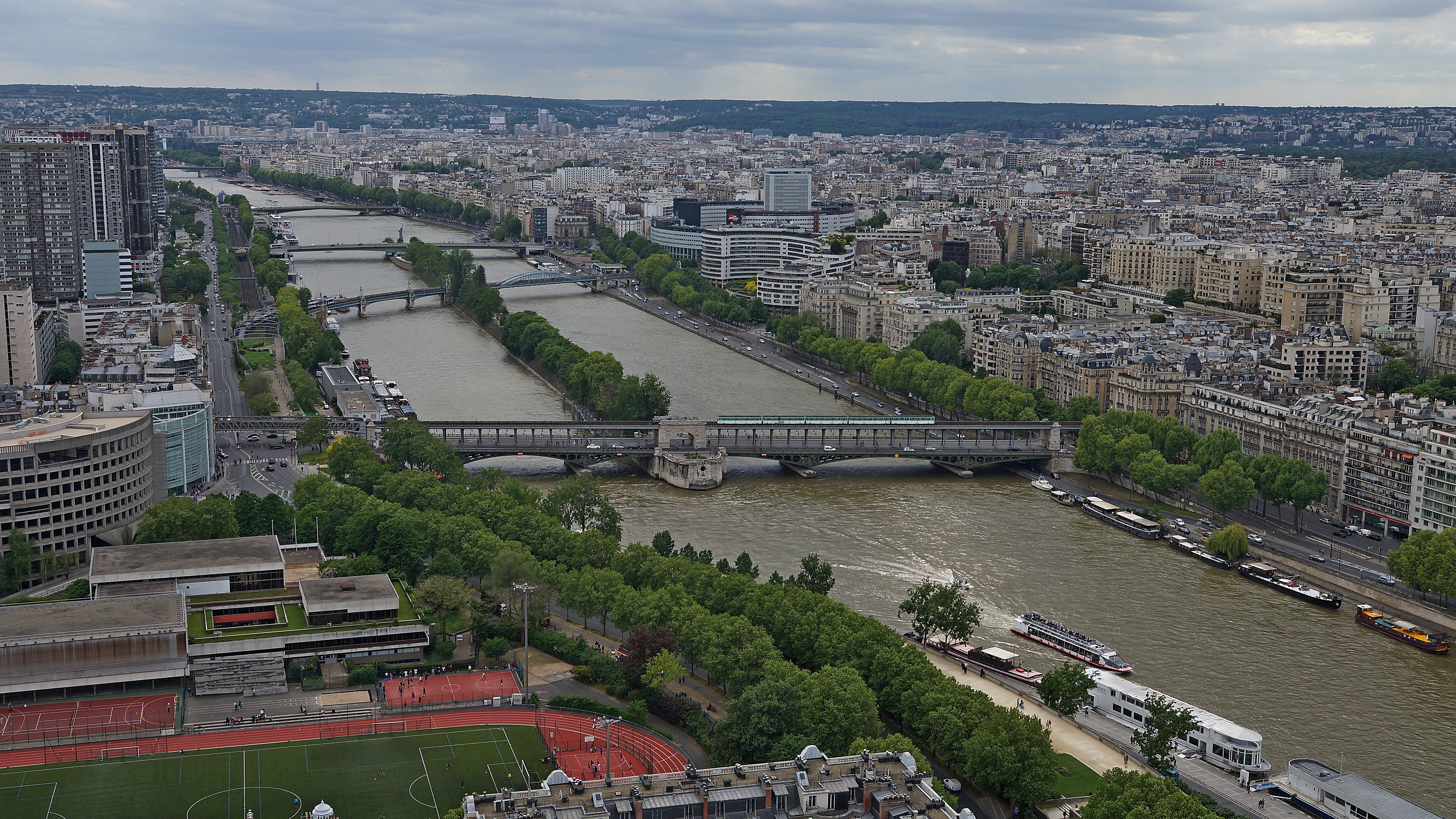
View from the Eiffel Tower,Paris.

La Sainte-Chapelle
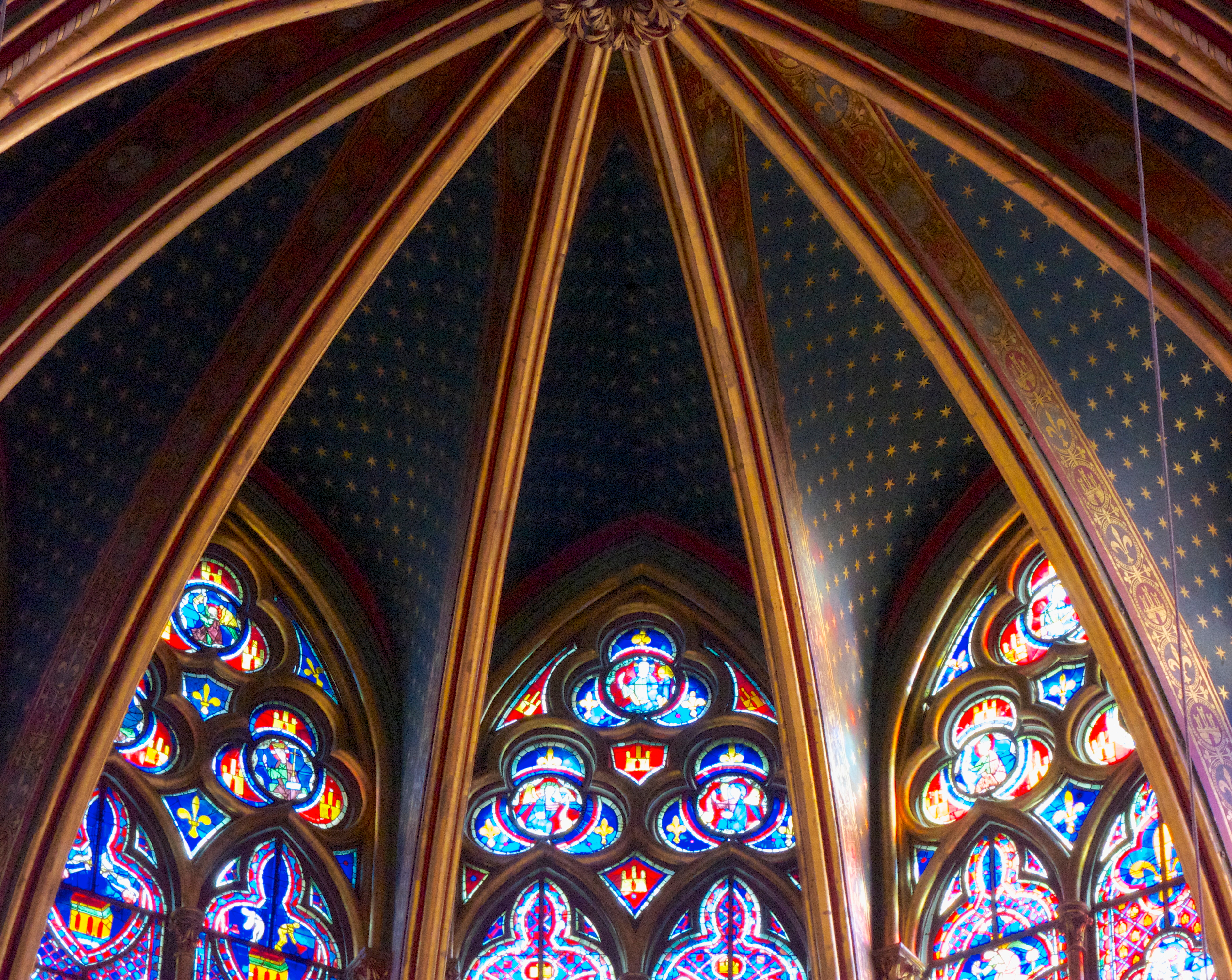
La Sainte-Chapelle

Pont des Arts
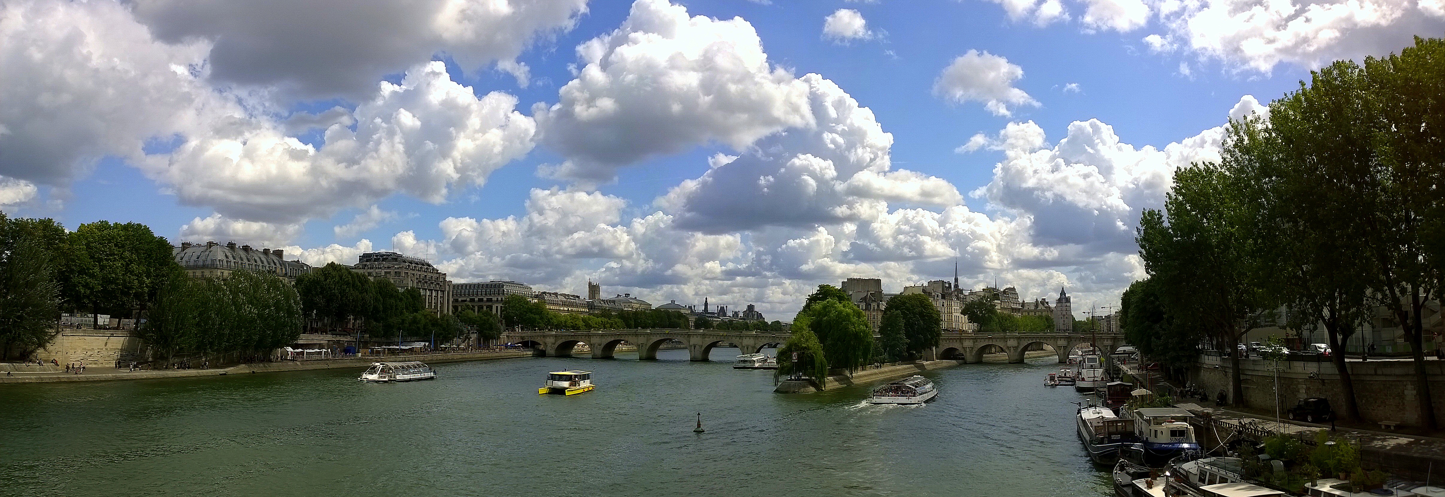
La Seine, view towards Ile de la Cité from Le Pont des Arts, Paris.
.view from tour eiffel |5
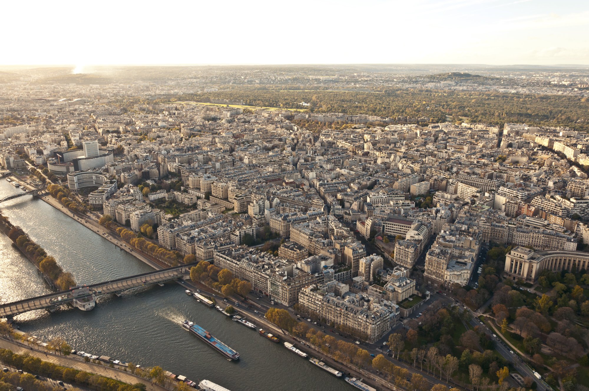
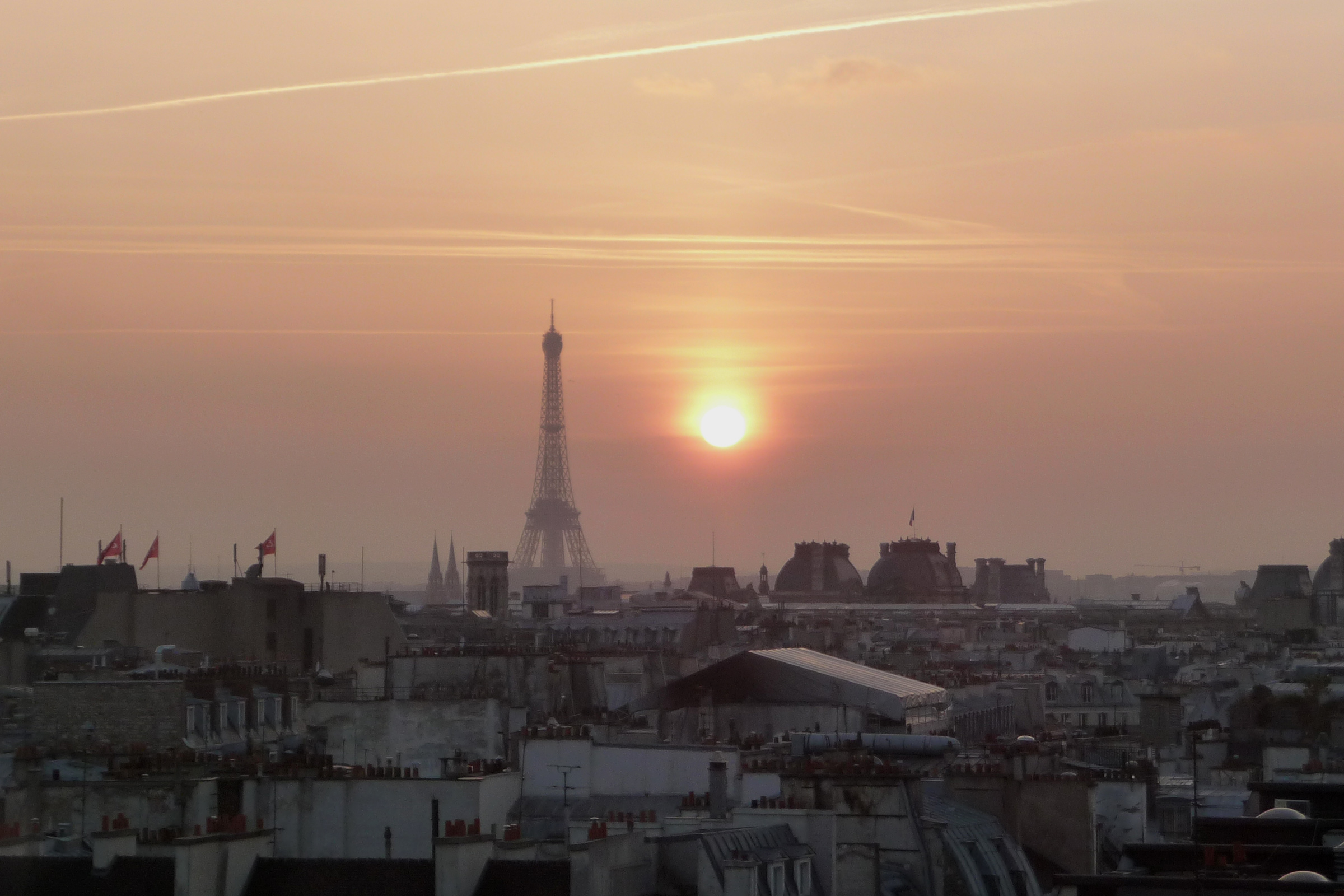
The view from above
View from Eiffel Tower / Paris, France 2012

Pedestrian view

Top view

Paris - Eiffel Tower
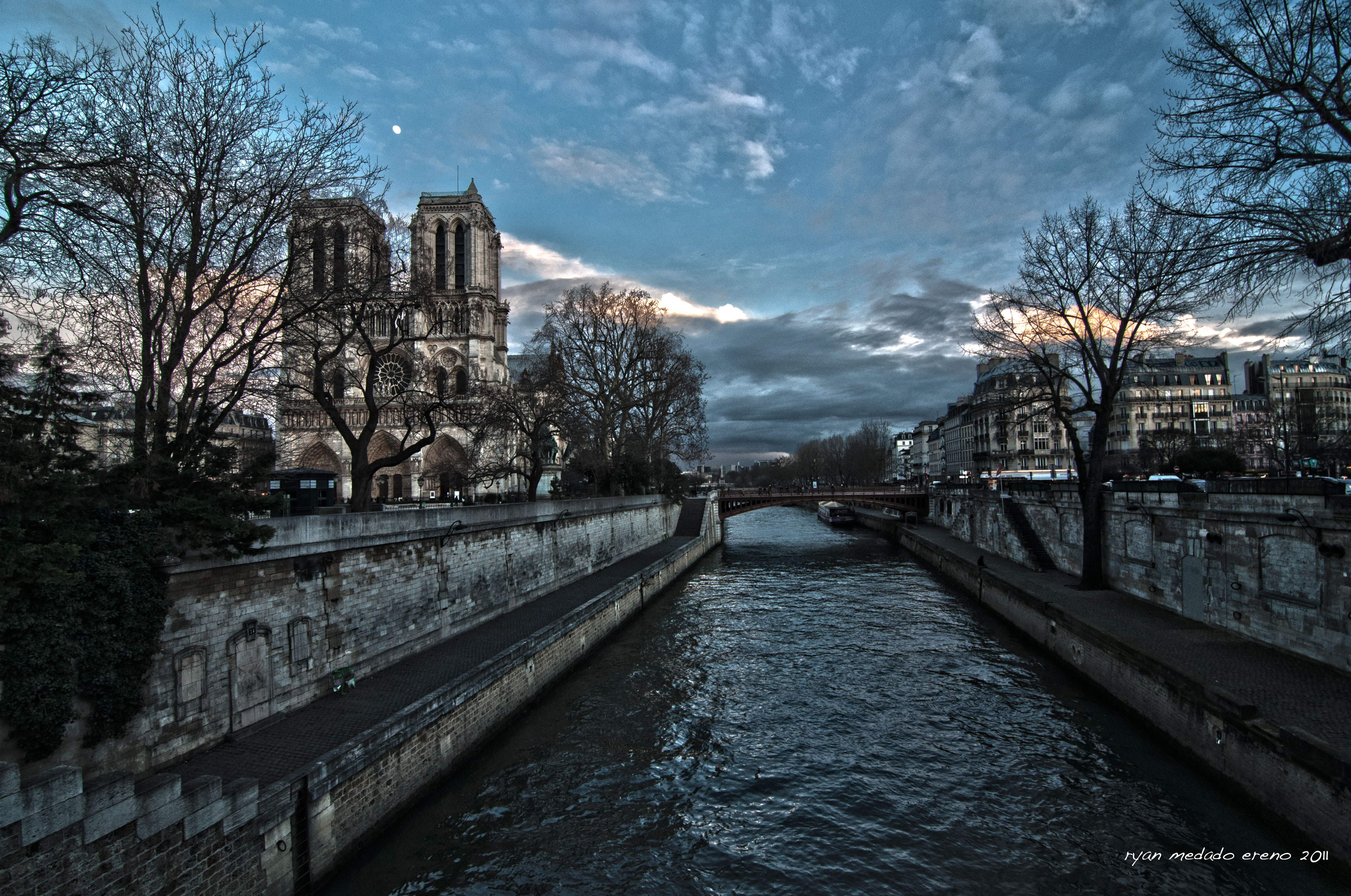
Notre Dame Cathedral as viewed from Siene River
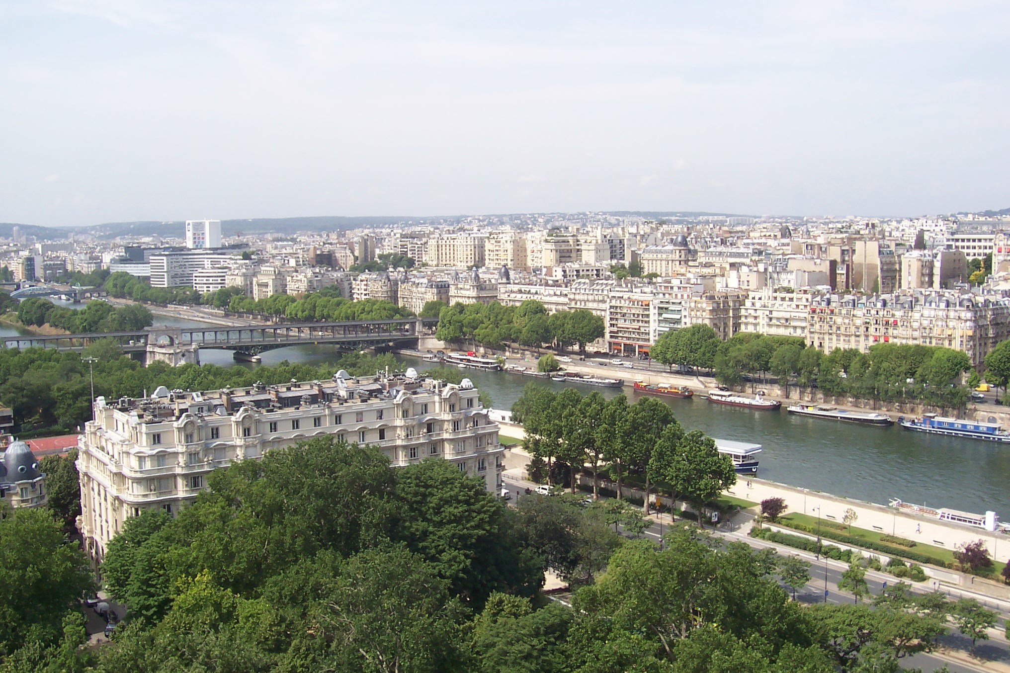
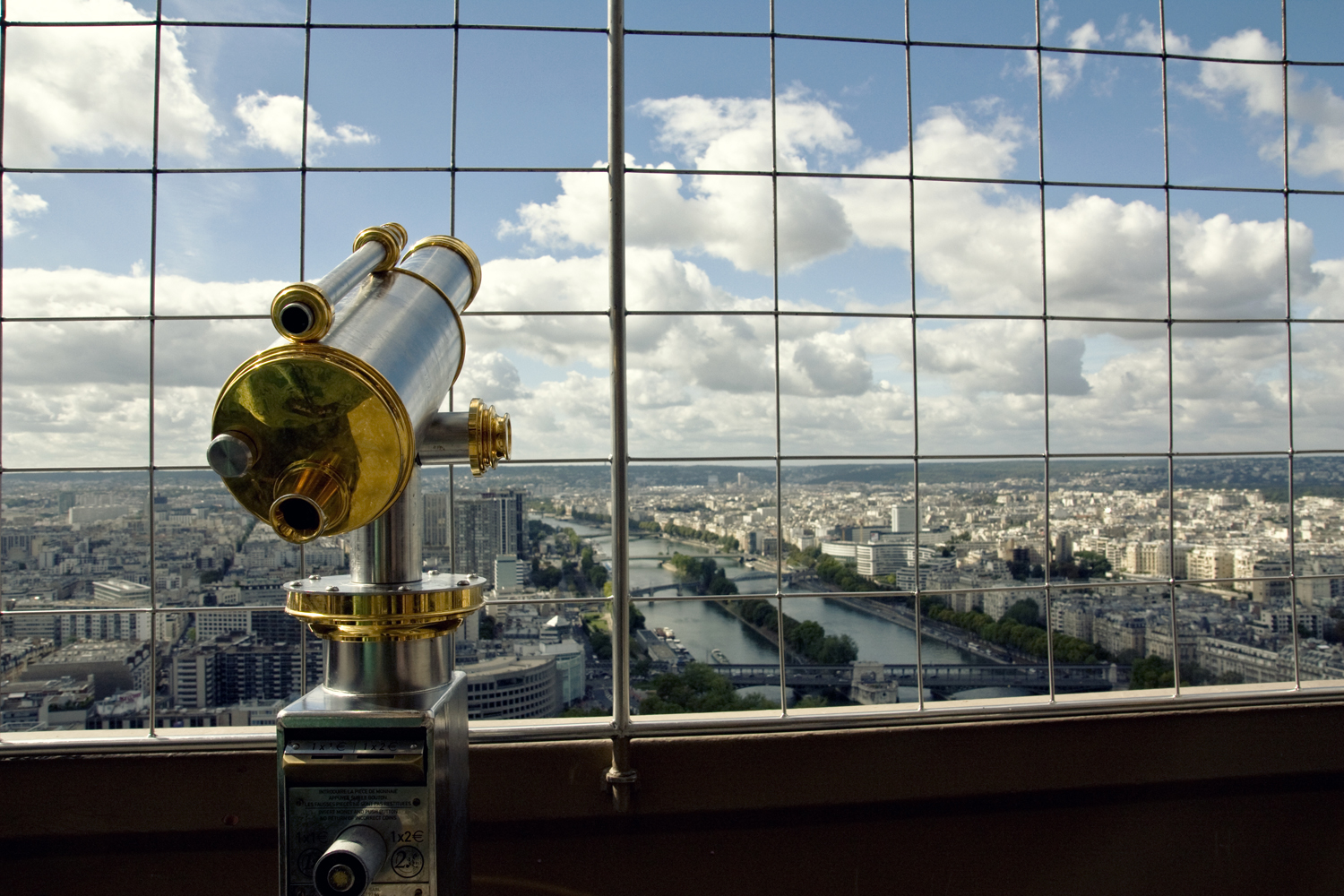
River Seine (from 1st floor of Eiffel Tower)
View from Tour Montparnasse
paris 2009
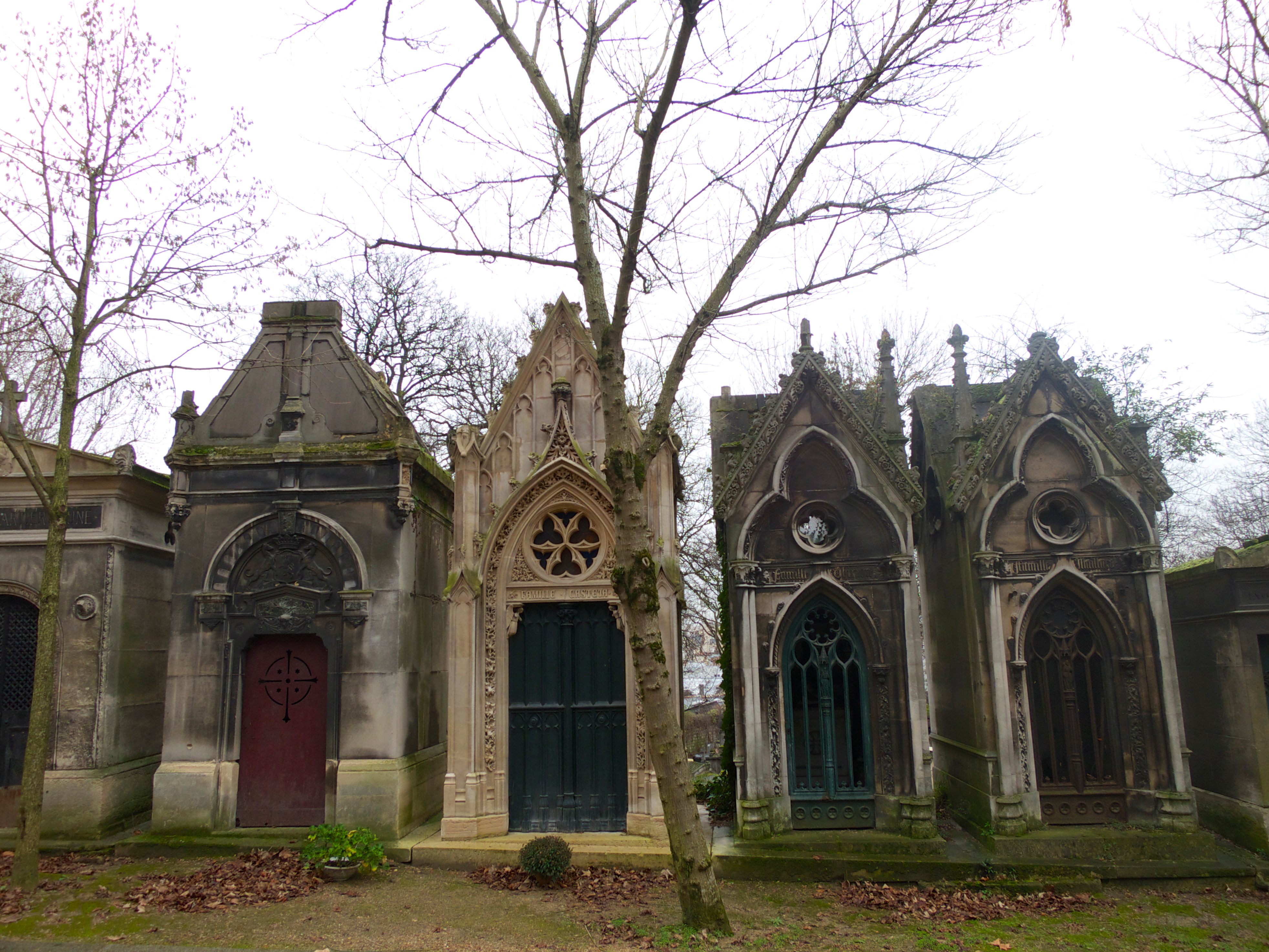
Père Lachaise Cemetery
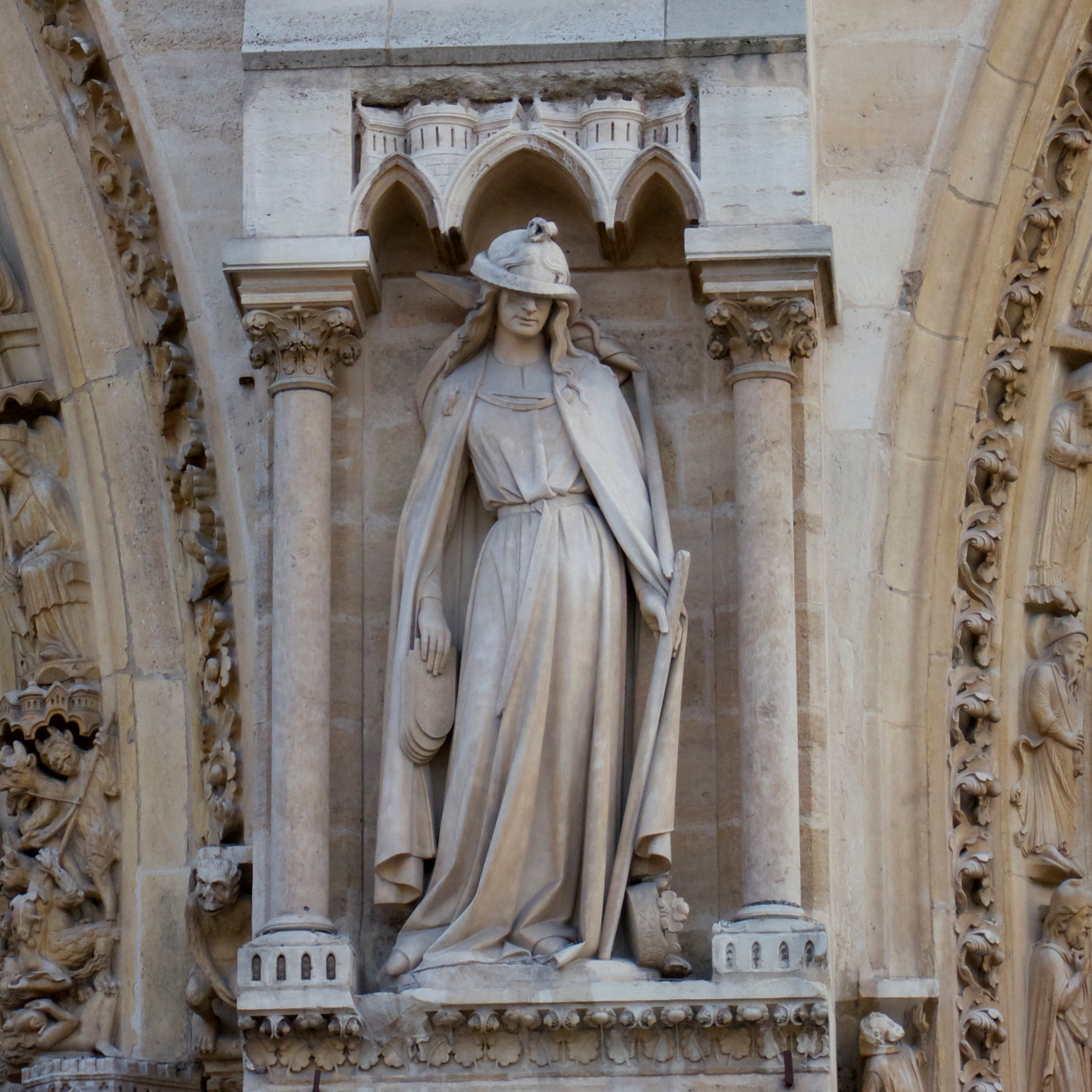
Notre Dame de Paris
Centre Georges Pompidou
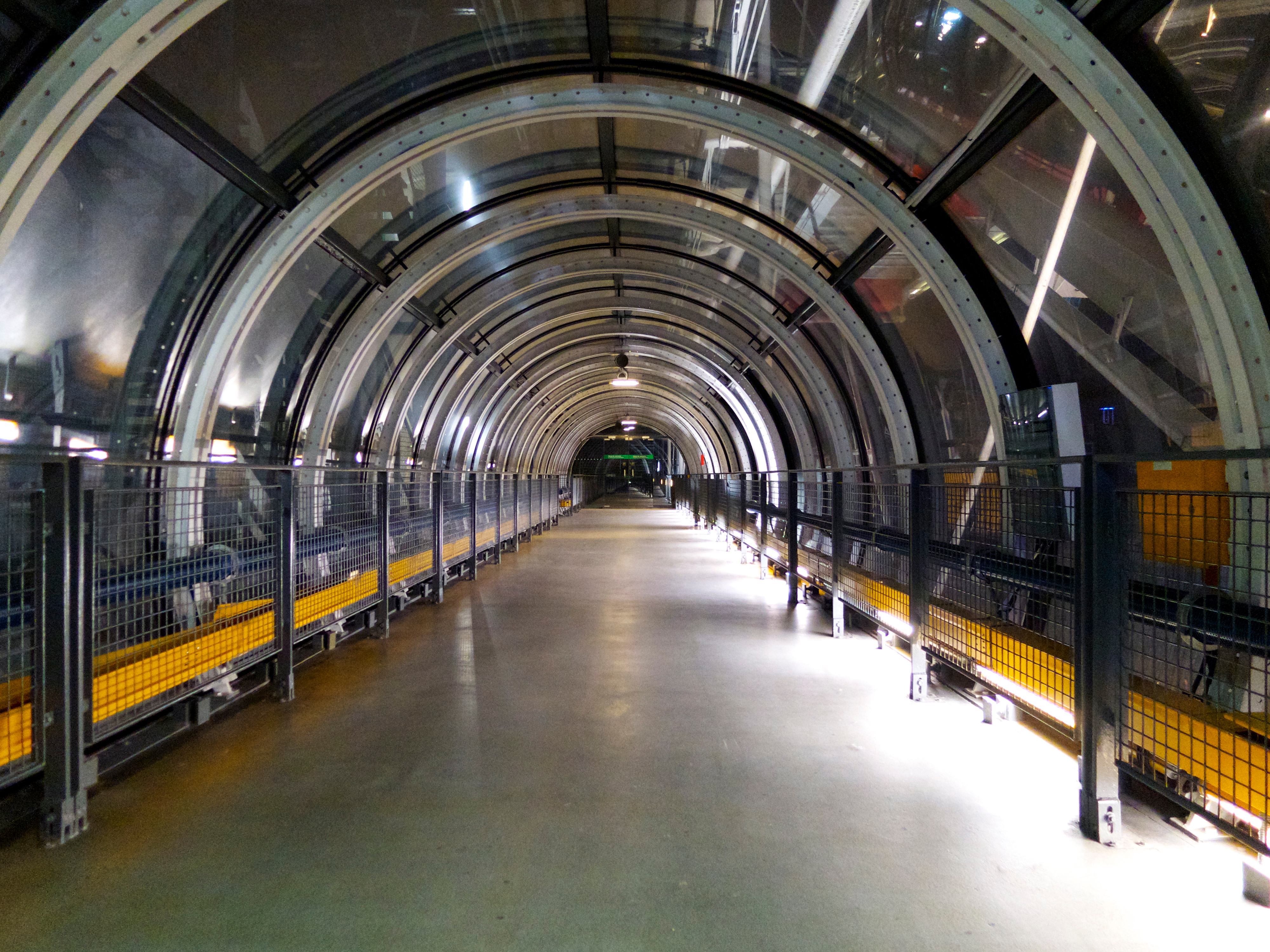
Frech subway - view from Eiffel Tower

Grand Palais from Eiffel Tower, Paris

DSC_8400 (2)
Topographic Map of Paris, France
Find elevation by address:

Places in Paris, France:
20th Arrondissement
Jardin Tuileries
Quai Du Louvre
Place De La Concorde
Rue De Grenelle
Place Charles De Gaulle
Quai Henri Iv
2 Place Ferdinand Brunot, Paris, France
30p
Rue de la Tour, Paris, France
9 Rue des Iris, Paris-13E-Arrondissement, France
Rue D'arsonval
Rue Anatole De La Forge
Quai Anatole France
Rue Oberkampf
Rue De La Glacière
Eiffel Tower
Bercy
Avenue Du Général Leclerc
Avenue Jean Jaurès
Rue Pavée
Paris, France
Montmartre
Montmartre
Notre Dame
Places near Paris, France:
Paris
Notre Dame
Cathédrale Notre-dame De Paris
Le Petit Châtelet
23 Rue Des Rosiers
Conciergerie
Saint-michel - Notre-dame
Rue Pavée
10 Place Dauphine
49 Rue Saint-sauveur
5 Rue De Thorigny
2 Place Du Panthéon
2 Rue Bachaumont
Sorbonne Université
Sorbonne Université
1 Place Du Panthéon
Quai Du Louvre
Quai Henri Iv
Elevation Store
Louvre Palace
Recent Searches:
- Elevation of Corso Fratelli Cairoli, 35, Macerata MC, Italy
- Elevation of Tallevast Rd, Sarasota, FL, USA
- Elevation of 4th St E, Sonoma, CA, USA
- Elevation of Black Hollow Rd, Pennsdale, PA, USA
- Elevation of Oakland Ave, Williamsport, PA, USA
- Elevation of Pedrógão Grande, Portugal
- Elevation of Klee Dr, Martinsburg, WV, USA
- Elevation of Via Roma, Pieranica CR, Italy
- Elevation of Tavkvetili Mountain, Georgia
- Elevation of Hartfords Bluff Cir, Mt Pleasant, SC, USA