Elevation of Par Rd, Pitkin, LA, USA
Location: United States > Louisiana > Vernon Parish > >
Longitude: -92.889619
Latitude: 30.8773719
Elevation: 52m / 171feet
Barometric Pressure: 101KPa
Elevation Map:
Satellite Map:
Related Photos:
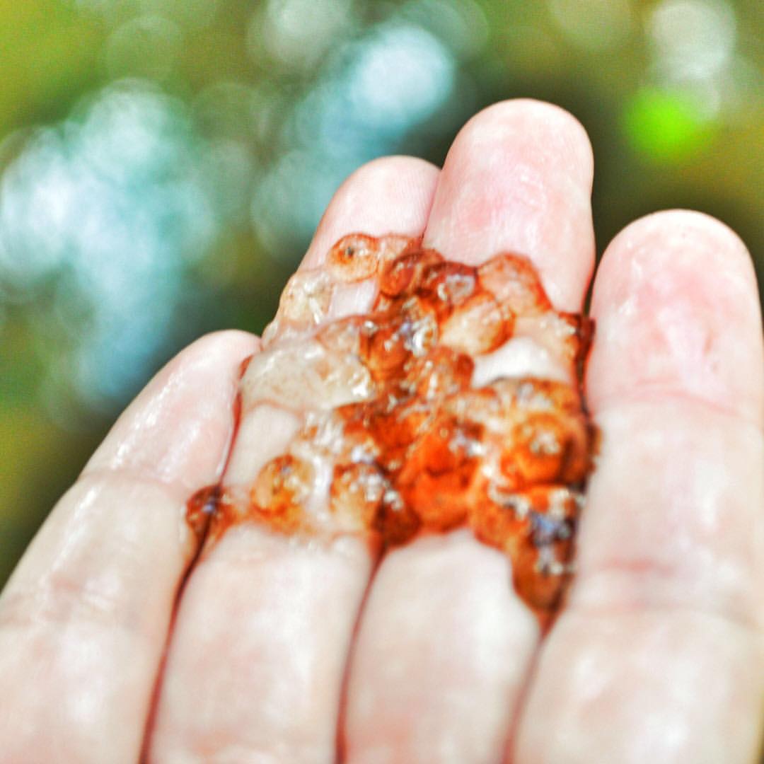
❓ Do you know what this is that @KristaFourn found in the creek when we were in the woods? Video Link in Bio if you want to see the vlog to get a better view of it. Looks like some kind of eggs.⠀ ⠀ It's always fun to find something interesting in
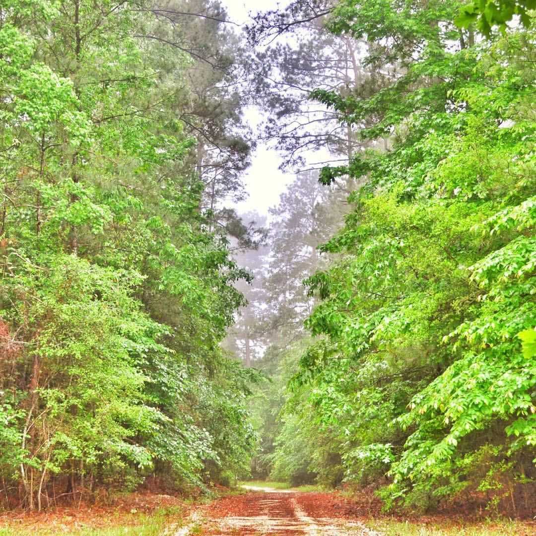
Are you ready to get lost in the woods? ???????? It's always better to take the path with the most trees! ???????? Video Link in Bio to see where this path leads! ⠀ ⠀ Gotta love the morning fog coming throug

When we were at the cabin, Jacques LOVED to play with the darts and try to throw them at the dart board! I didn't get a chance to vlog any of it, but it was super cute to see him try! I guess this means that we'll have to go back!⠀ ⠀ Do you have a favorit
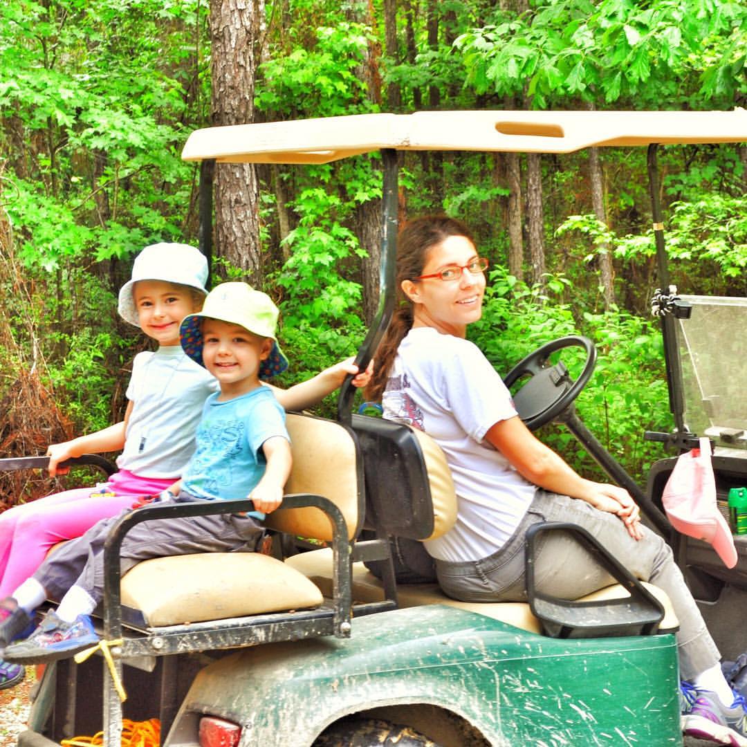
This was our secondary #adventuremobile while we were in our private cabin in the woods [Link in Bio]. It was fun to let the kids take turns driving this golf cart!⠀ ⠀ We had a lot of fun exploring in the woods together!⠀ ⠀ goadventuretogether #openmyworl
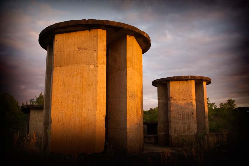
Unknown Towers
Topographic Map of Par Rd, Pitkin, LA, USA
Find elevation by address:

Places near Par Rd, Pitkin, LA, USA:
717 Coker Rd
Pitkin
Grant, LA, USA
LA-, Mittie, LA, USA
4, LA, USA
276 Reva Ln
5, LA, USA
Louisiana 26
LA-, Dry Creek, LA, USA
4876 Greentown Rd
Allen Parish
205 Kingrey Rd
DeRidder, LA, USA
12474 La-113
215 Woodland Rd
3273 Us-171
4b
7, LA, USA
3a
Bernard Rd & Benard Ave
Recent Searches:
- Elevation of Keene Point Drive, Keene Point Dr, Grant, AL, USA
- Elevation of State St, Zanesville, OH, USA
- Elevation of Austin Stone Dr, Haslet, TX, USA
- Elevation of Bydgoszcz, Poland
- Elevation of Bydgoszcz, Poland
- Elevation of Calais Dr, Del Mar, CA, USA
- Elevation of Placer Mine Ln, West Jordan, UT, USA
- Elevation of E 63rd St, New York, NY, USA
- Elevation of Elk City, OK, USA
- Elevation of Erika Dr, Windsor, CA, USA